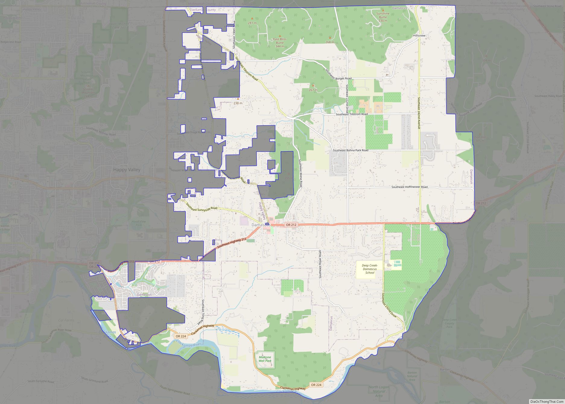
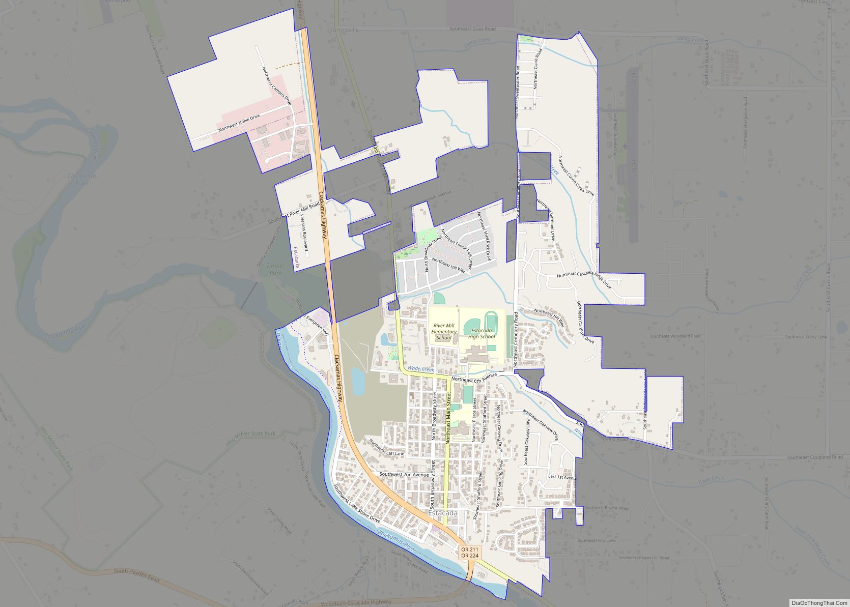
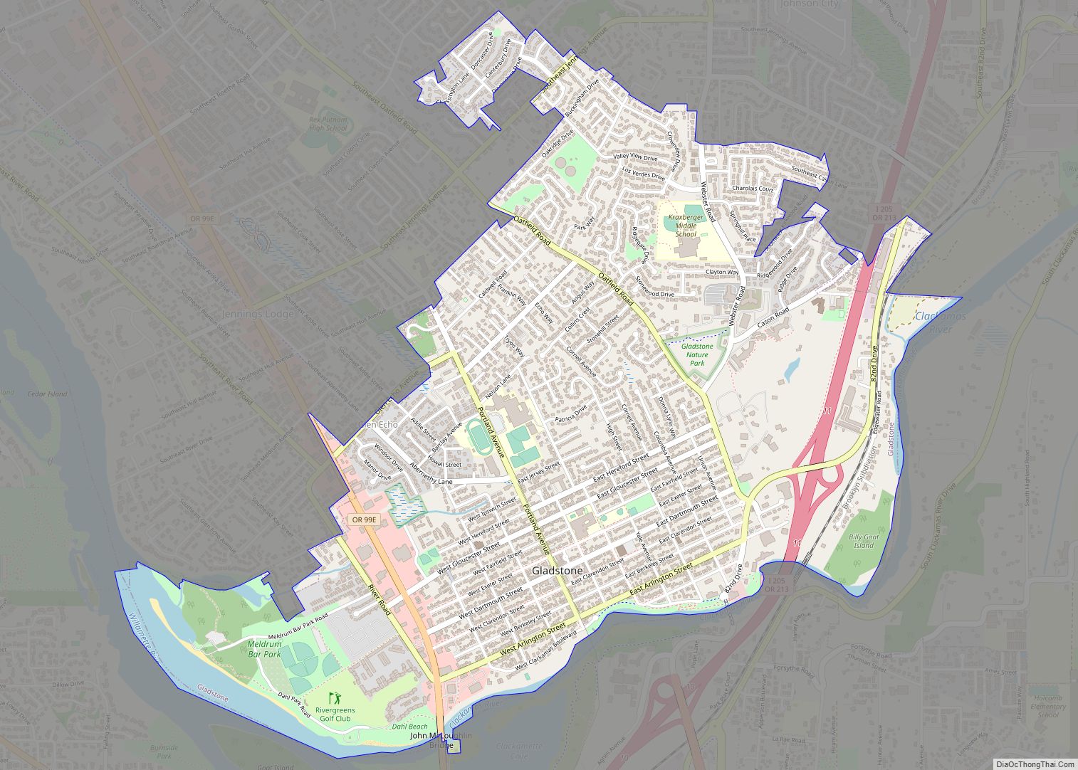
Oregon City is the county seat of Clackamas County, Oregon, United States, located on the Willamette River near the southern limits of the Portland metropolitan area. As of the 2020 census, the city population was 37,572. Established in 1829 by the Hudson’s Bay Company, in 1844 it became the first U.S. city west of the Rocky Mountains to be incorporated.
| Name: | Oregon City city |
|---|---|
| LSAD Code: | 25 |
| LSAD Description: | city (suffix) |
| State: | Oregon |
| County: | Clackamas County |
| Founded: | 1829 |
| Incorporated: | 1844 |
| Elevation: | 141 ft (42 m) |
| Total Area: | 10.29 sq mi (26.64 km²) |
| Land Area: | 10.05 sq mi (26.03 km²) |
| Water Area: | 0.24 sq mi (0.61 km²) |
| Total Population: | 37,572 |
| Population Density: | 3,738.88/sq mi (1,443.54/km²) |
| ZIP code: | 97045 |
| Area code: | 503 and 971 |
| FIPS code: | 4155200 |
| GNISfeature ID: | 1136601 |
| Website: | www.orcity.org |
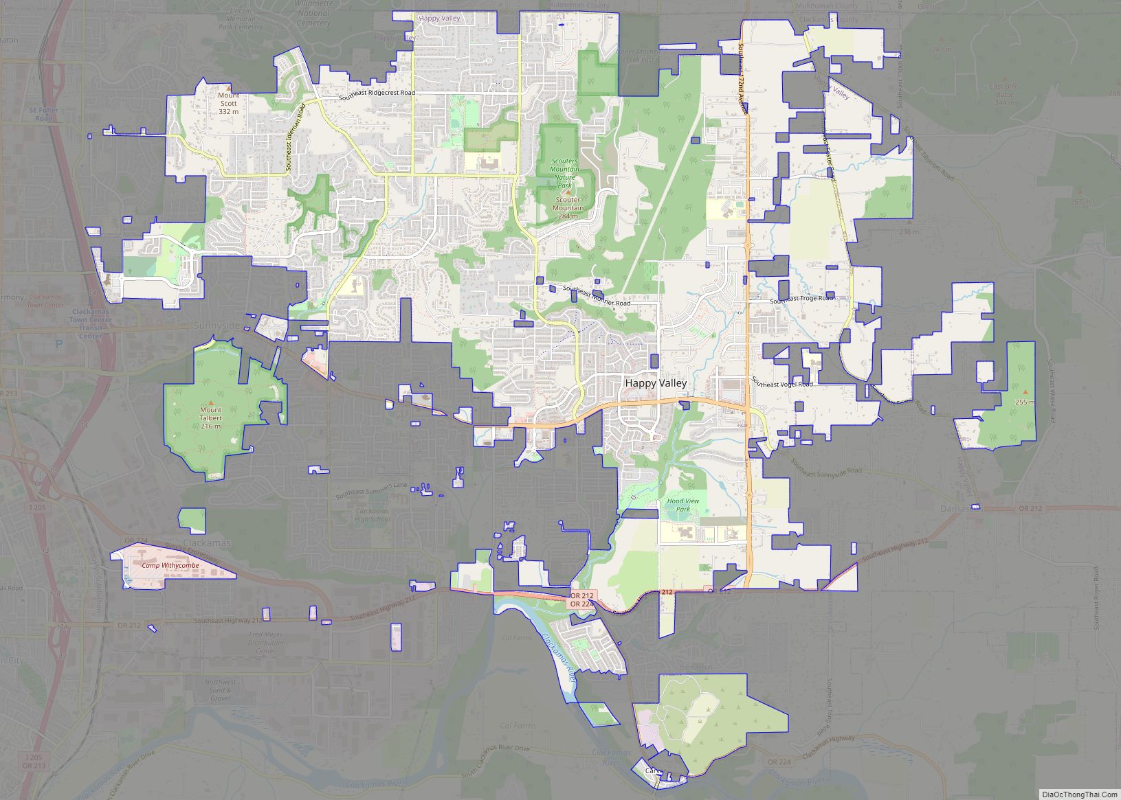
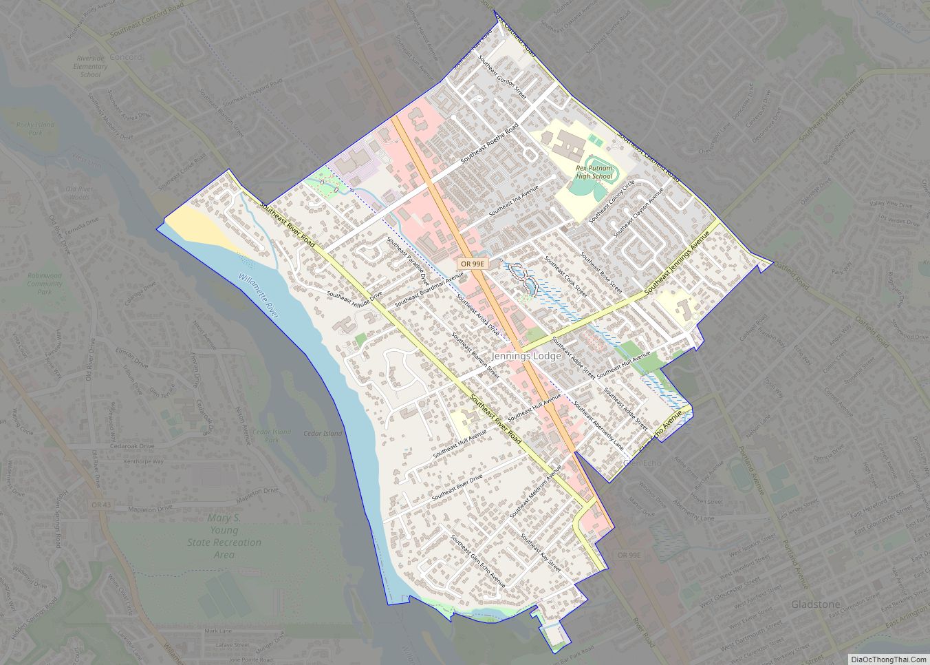
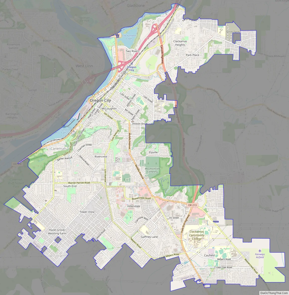
Online Interactive Map
Click on ![]() to view map in "full screen" mode.
to view map in "full screen" mode.
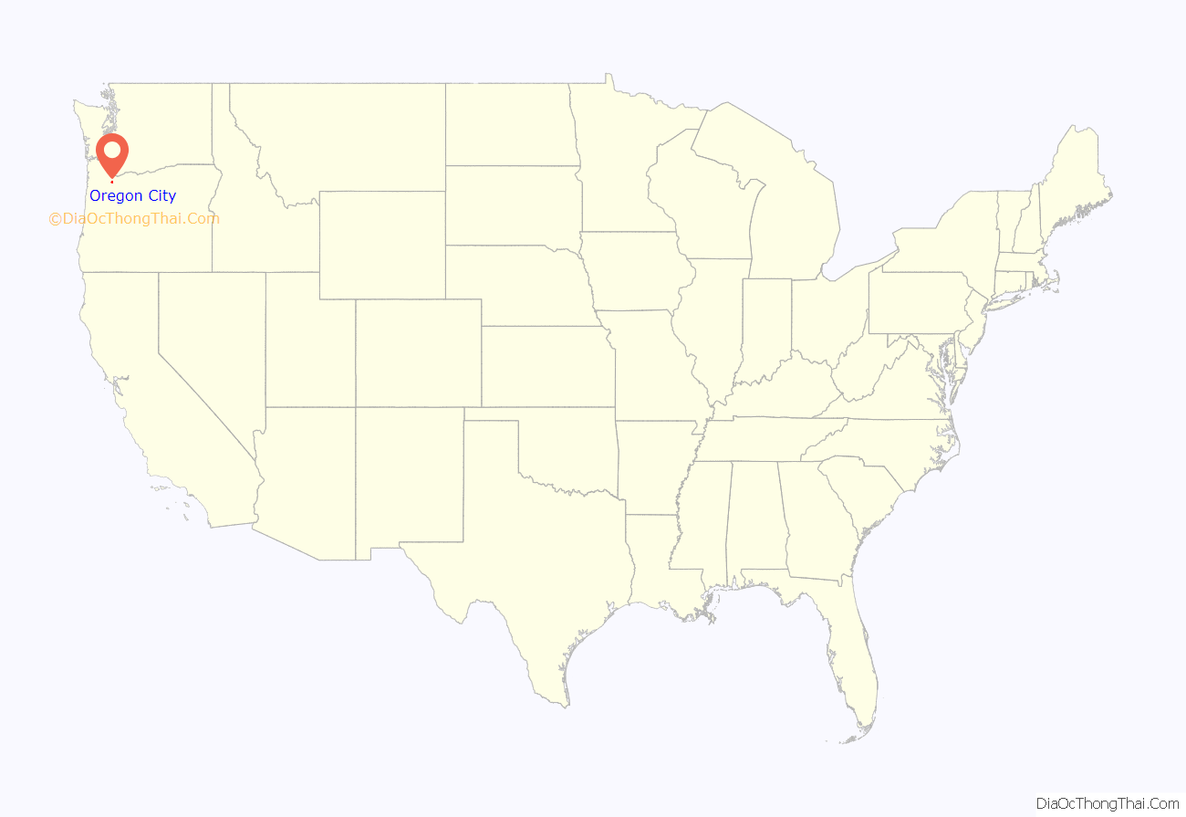
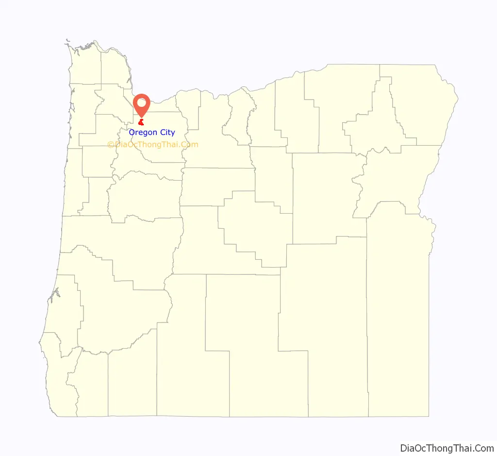
Oregon City location map. Where is Oregon City city?
History
Known in recent decades as the site of several large paper mills on the Willamette River, the city played a significant role in the early history of the Oregon Country. It was established by Hudson’s Bay Company’s Dr. John McLoughlin in 1829 near the confluence of the Clackamas River with the Willamette to take advantage of the power of Willamette Falls to run a lumber mill. During the 1840s and 1850s it was the destination for those wanting to file land claims after traveling the Oregon Trail as the last stop on the trail.
It was the capital of the Oregon Territory from its establishment in 1848 until 1851, and rivaled Portland for early supremacy in the area. In 1846, the city’s newspaper, the Oregon Spectator, was the first American newspaper to be published west of the Rocky Mountains. Oregon City College was established in 1849 as a Baptist school, but was defunct by the 1870s. Oregon City was the site of the Beaver Coins Mint, producing the short-lived independent Oregon Territory currency in 1849.
The center of the city retains part of its historic character through the preservation of houses and other buildings from the era of the city’s founding.
Former Latin archdiocese
The town became the see city of the first Roman Catholic archdiocese in the western United States, when the diocese of Oregon City, established in 1846, was raised to metropolitan rank, with Archbishop François Norbert Blanchet as its ordinary. Its territory included all of the western United States. The population in the area of Oregon City declined due to the California Gold Rush. The population of nearby Portland grew, and the headquarters of the archdiocese was moved there in 1926. In 1928 the name Archdiocese of Portland in Oregon replaced the former name. No longer a residential bishopric, Oregon City is now a titular see.
Oregon City Road Map
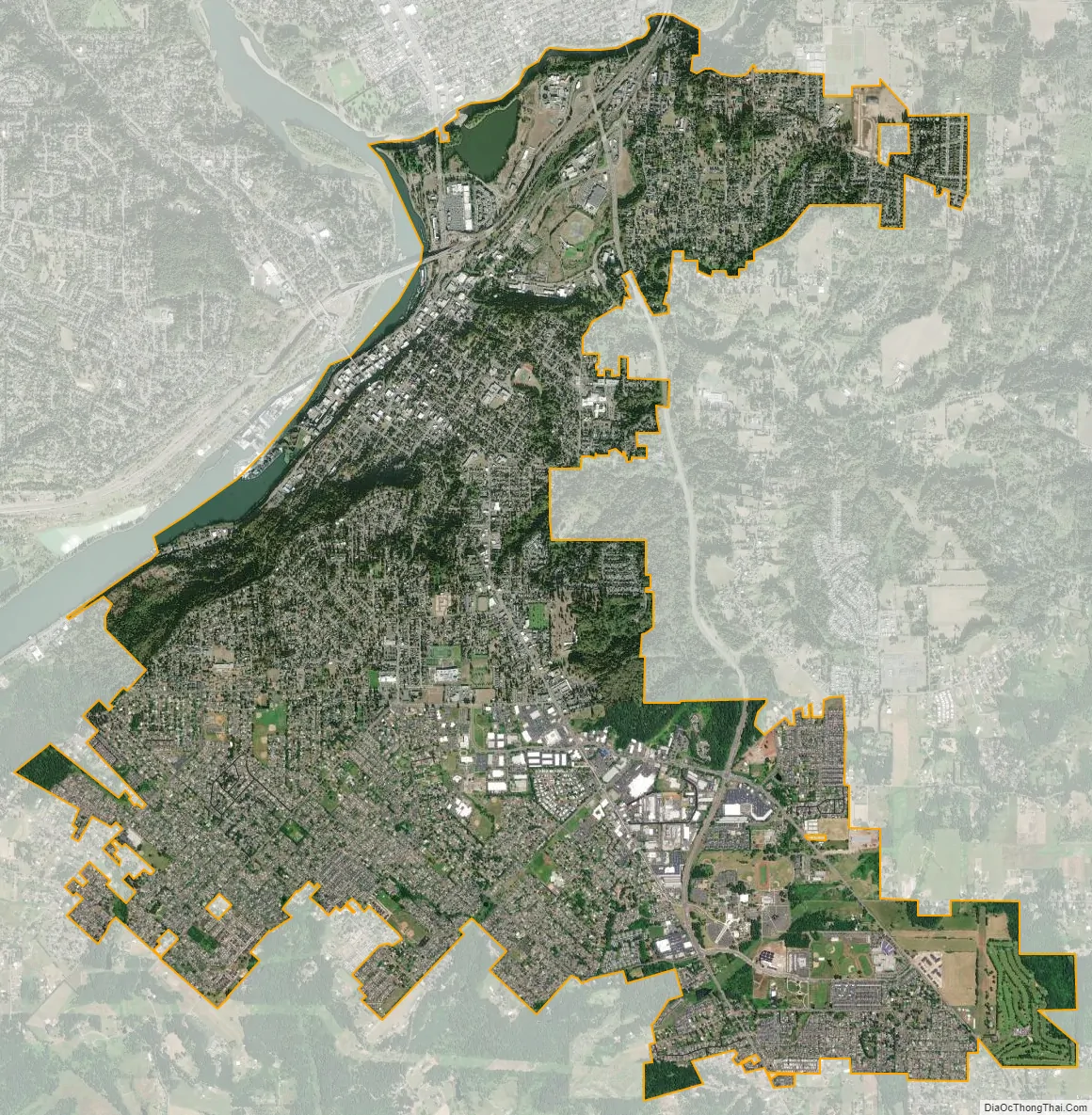
Oregon City city Satellite Map
Geography
The town is divided into upper and lower areas. The lower area is on a bench next to the Willamette River. The upper area is atop a bluff composed of Canemah basalt, which flowed about 2.5 million years ago from a vent 7.5 miles (12 km) to the southeast in the Boring Lava Field. For many years, Indian trails connected the two levels, but stairs were built in the 19th century. In 1915 the town built the water-powered Oregon City Municipal Elevator to connect the two parts, which was converted to electricity in the 1920s. In 1952, a new electric elevator was constructed with the specification that it was to be “as plain as possible and without ornament.”
According to the United States Census Bureau, the city has a total area of 9.29 square miles (24.06 km), of which 9.05 square miles (23.44 km) is land and 0.24 square miles (0.62 km) is water. The major waterways of Oregon City include the Willamette River, which flows along the northwest side of the city, and the Clackamas River, which merges with the larger Willamette to the north of the city. The Willamette forms the boundary between Oregon City and West Linn; the Clackamas serves as the boundary between Oregon City and Gladstone.
Willamette Falls
The Willamette Falls Locks in West Linn were the first multi-lift navigational locks in the United States and are now a National Historical Site, no longer in use. The first long-distance electrical service in the United States originated in Oregon City in 1889, transmitting electricity 14 miles (23 km) to Portland.
Climate
Oregon City has a Mediterranean climate. The Mediterranean climate regime resembles the climate of the lands in the Mediterranean Basin, parts of western North America, parts of Western and South Australia, in southwestern South Africa and in parts of central Chile. The climate is characterized by hot, dry summers and cool, wet winters.
See also
Map of Oregon State and its subdivision: Map of other states:- Alabama
- Alaska
- Arizona
- Arkansas
- California
- Colorado
- Connecticut
- Delaware
- District of Columbia
- Florida
- Georgia
- Hawaii
- Idaho
- Illinois
- Indiana
- Iowa
- Kansas
- Kentucky
- Louisiana
- Maine
- Maryland
- Massachusetts
- Michigan
- Minnesota
- Mississippi
- Missouri
- Montana
- Nebraska
- Nevada
- New Hampshire
- New Jersey
- New Mexico
- New York
- North Carolina
- North Dakota
- Ohio
- Oklahoma
- Oregon
- Pennsylvania
- Rhode Island
- South Carolina
- South Dakota
- Tennessee
- Texas
- Utah
- Vermont
- Virginia
- Washington
- West Virginia
- Wisconsin
- Wyoming