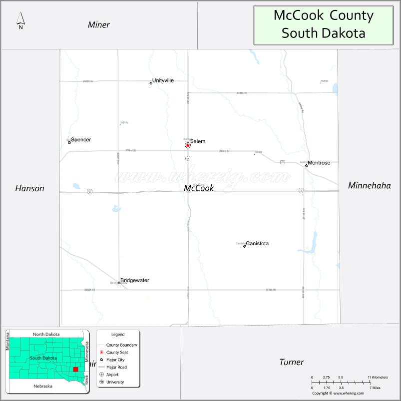
McCook County is a county in the U.S. state of South Dakota. At the 2020 census, the population was 5,682. Its county seat is Salem. The county was established in 1873, and was organized in 1878. It was named for the former governor of the Dakota Territory and Civil War general Edwin Stanton McCook.
McCook County is part of the Sioux Falls, SD Metropolitan Statistical Area.
| Name: | McCook County |
|---|---|
| FIPS code: | 46-087 |
| State: | South Dakota |
| Founded: | January 8, 1873 (created) June 15, 1878 (organized) |
| Named for: | Edwin Stanton McCook |
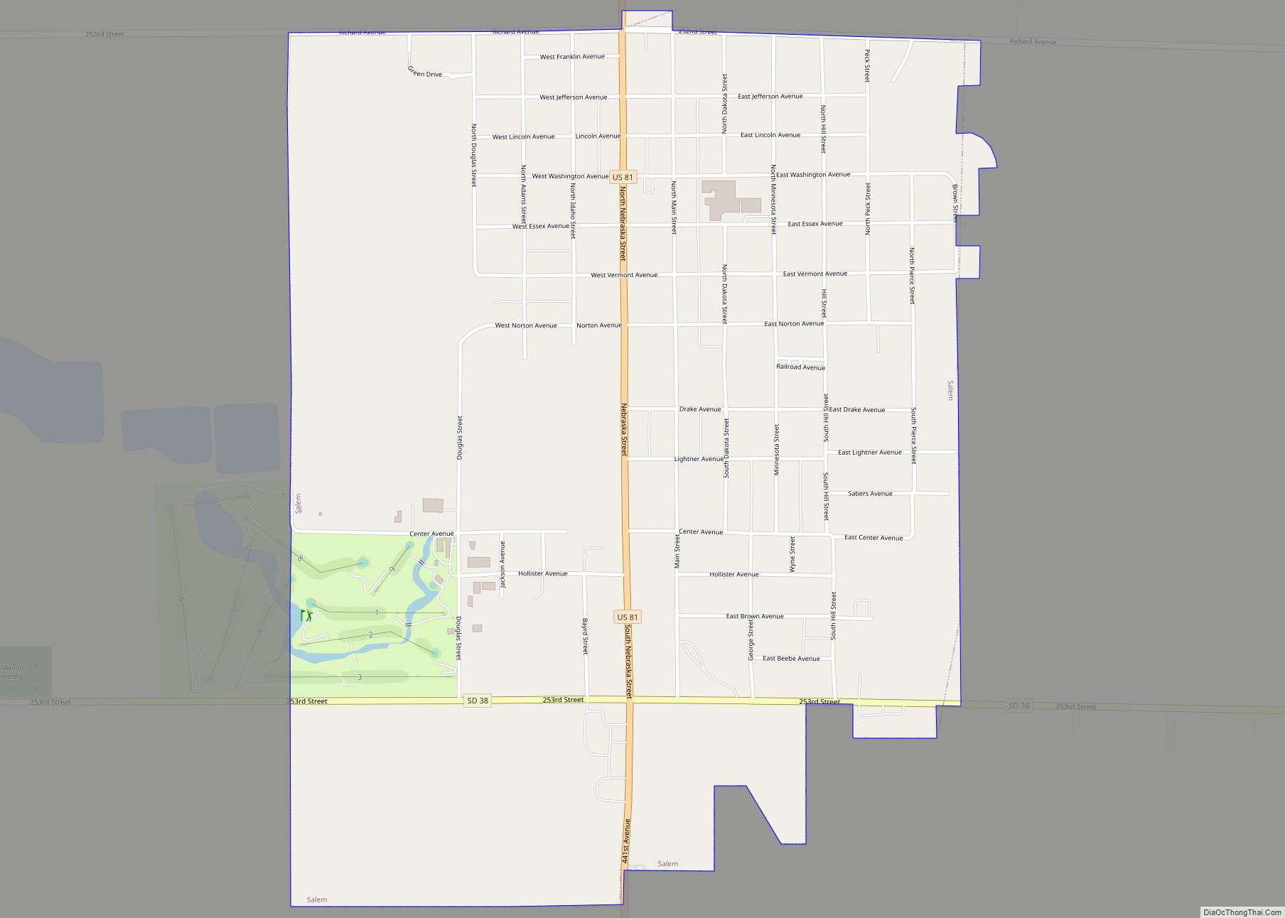
| Seat: | Salem |
| Largest city: | Salem |
| Total Area: | 577 sq mi (1,490 km²) |
| Land Area: | 574 sq mi (1,490 km²) |
| Total Population: | 5,682 |
| Population Density: | 9.8/sq mi (3.8/km²) |
| Time zone: | UTC−6 (Central) |
| Summer Time Zone (DST): | UTC−5 (CDT) |
| Website: | www.mccookcountysd.com |
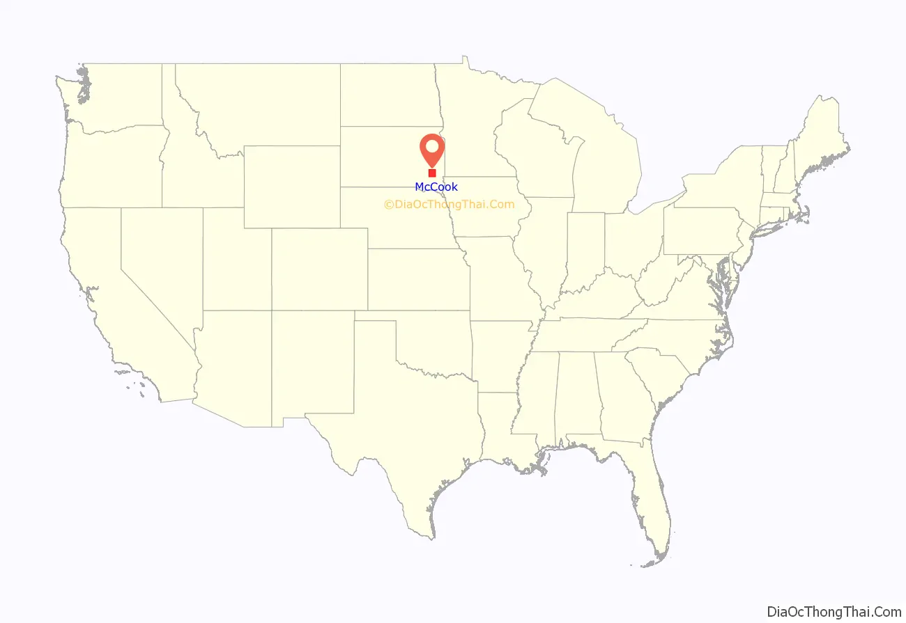
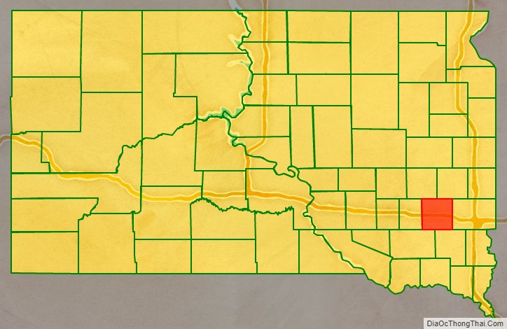
McCook County location map. Where is McCook County?
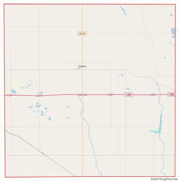
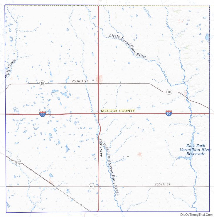
McCook County Road Map
Geography
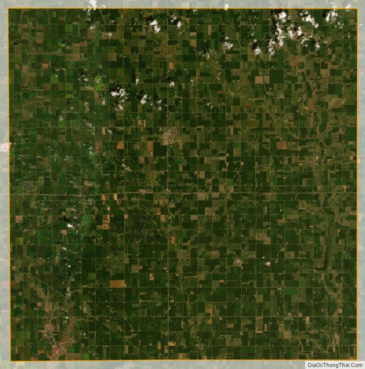
The terrain of McCook County consists of rolling hills, mostly devoted to agriculture. The terrain slopes to the south and southwest; its highest point is near its northeast corner, at 1,798′ (548m) ASL. The county has a total area of 577 square miles (1,490 km), of which 574 square miles (1,490 km) is land and 2.7 square miles (7.0 km) (0.5%) is water.
Major highways
- Interstate 90
- U.S. Highway 81
- South Dakota Highway 38
- South Dakota Highway 42
Adjacent counties
- Lake County – northeast
- Minnehaha County – east
- Turner County – southeast
- Hutchinson County – southwest
- Hanson County – west
- Miner County – northwest
Protected areas
- Ediger State Game Production Area
- Forsch Lake State State Game Production Area
- Lake Vermillion State Recreation Area
- Lehrman Slough State Game production Area
- Tschetter Slough State Game Production Area
Lakes
- East Vermillion Lake AKA Lake Vermillion
- Island Lake
- Lake Ell
McCook County Topographic Map
McCook County Satellite Map
McCook County Outline Map