Salem is a city in and the county seat of McCook County, South Dakota, United States. The population was 1,325 at the 2020 census. The current mayor is Shawn English.
| Name: | Salem city |
|---|---|
| LSAD Code: | 25 |
| LSAD Description: | city (suffix) |
| State: | South Dakota |
| County: | McCook County |
| Incorporated: | 1888 |
| Elevation: | 1,522 ft (464 m) |
| Total Area: | 1.25 sq mi (3.24 km²) |
| Land Area: | 1.25 sq mi (3.24 km²) |
| Water Area: | 0.00 sq mi (0.00 km²) |
| Total Population: | 1,325 |
| Population Density: | 1,060.00/sq mi (409.15/km²) |
| ZIP code: | 57058 |
| Area code: | 605 |
| FIPS code: | 4657340 |
| GNISfeature ID: | 1257765 |
| Website: | http://www.salemsd.com |
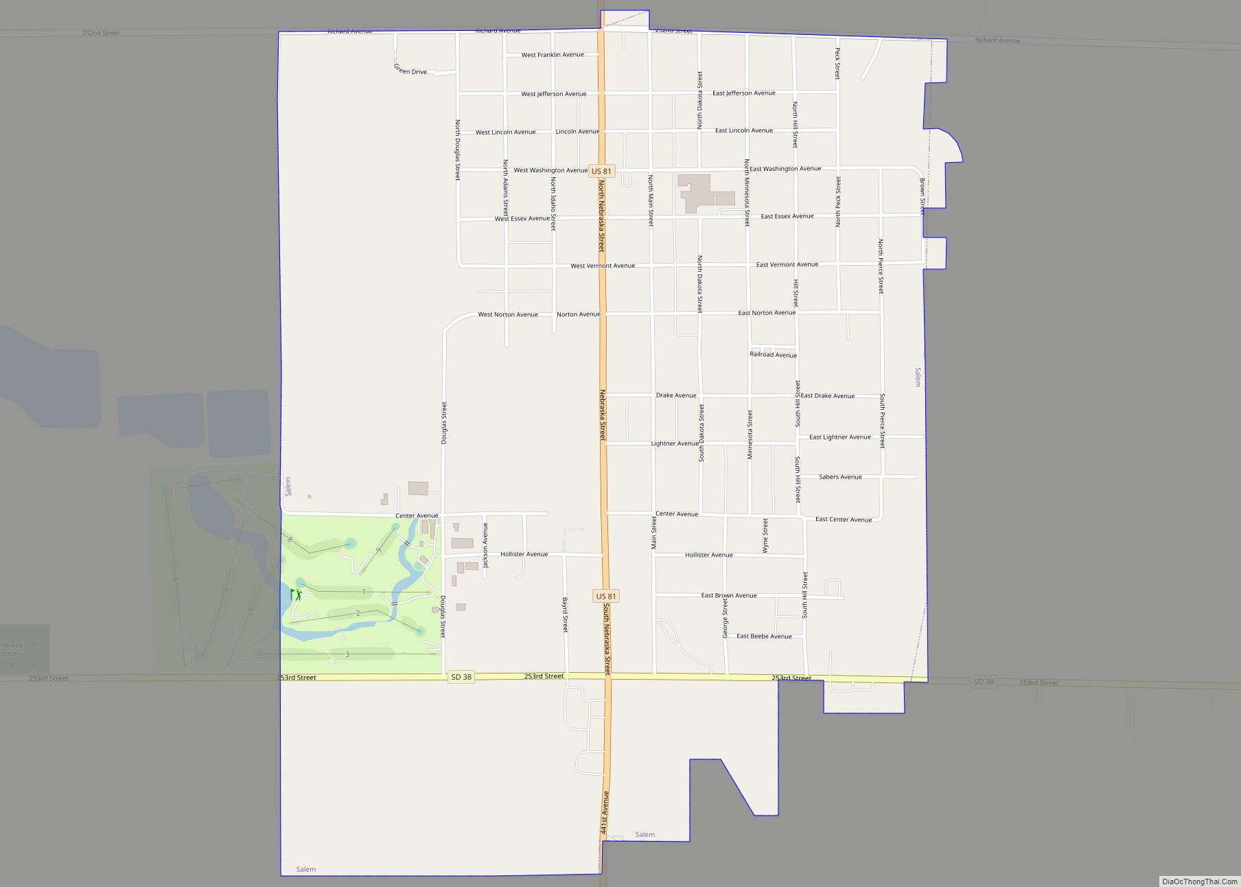
Online Interactive Map
Click on ![]() to view map in "full screen" mode.
to view map in "full screen" mode.
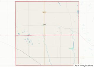
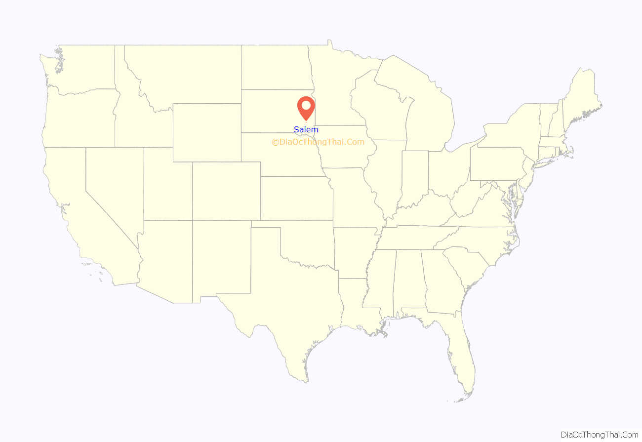
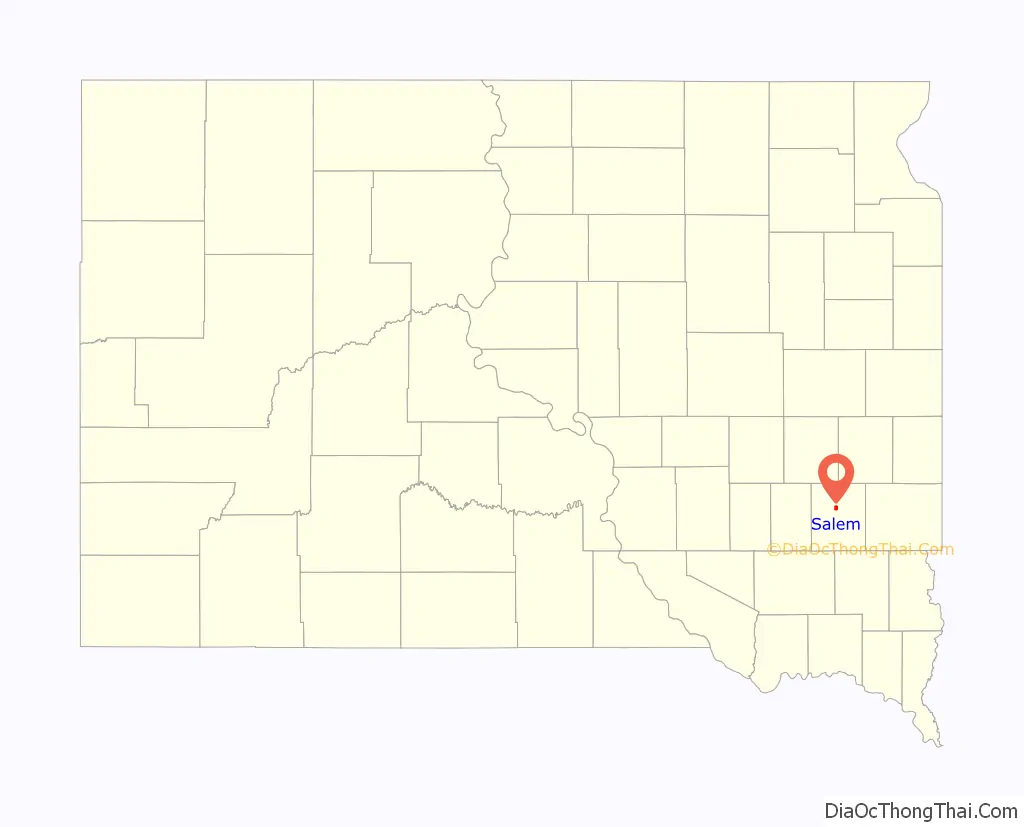
Salem location map. Where is Salem city?
History
Salem was founded in 1880 and named after the postmaster’s hometown of Salem, Massachusetts. Salem at one time was called Melas (‘Melas’ is Salem spelled backwards). This was to prevent confusion with the now non-existent community of Salena, South Dakota.
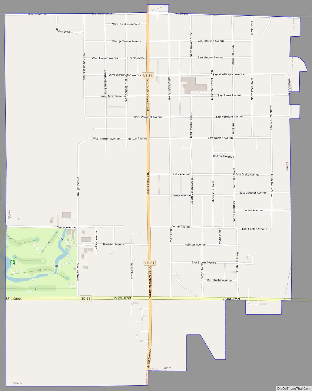
Salem Road Map
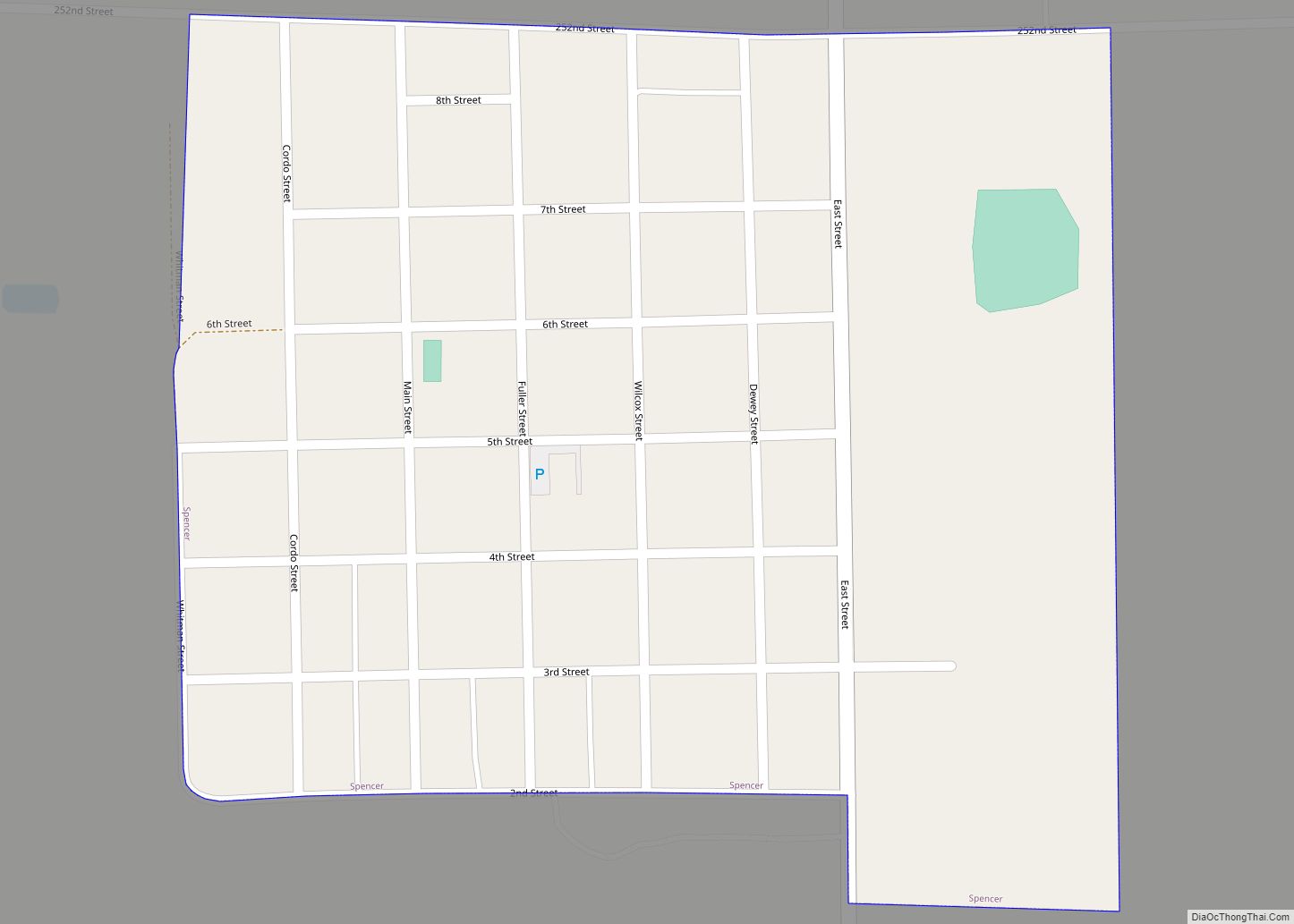
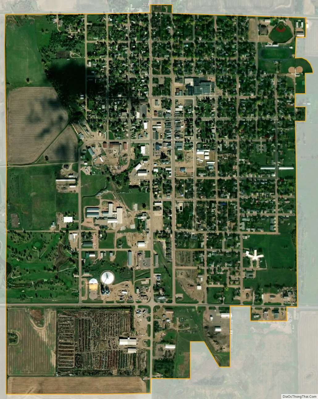
Salem city Satellite Map
Geography
Salem is located at 43°43′34″N 97°23′12″W / 43.72611°N 97.38667°W / 43.72611; -97.38667 (43.725989, −97.386533).
According to the United States Census Bureau, the city has a total area of 1.24 square miles (3.21 km), all land.
Salem has been assigned the ZIP code 57058 and the FIPS place code 57340.
See also
Map of South Dakota State and its subdivision:- Aurora
- Beadle
- Bennett
- Bon Homme
- Brookings
- Brown
- Brule
- Buffalo
- Butte
- Campbell
- Charles Mix
- Clark
- Clay
- Codington
- Corson
- Custer
- Davison
- Day
- Deuel
- Dewey
- Douglas
- Edmunds
- Fall River
- Faulk
- Grant
- Gregory
- Haakon
- Hamlin
- Hand
- Hanson
- Harding
- Hughes
- Hutchinson
- Hyde
- Jackson
- Jerauld
- Jones
- Kingsbury
- Lake
- Lawrence
- Lincoln
- Lyman
- Marshall
- McCook
- McPherson
- Meade
- Mellette
- Miner
- Minnehaha
- Moody
- Pennington
- Perkins
- Potter
- Roberts
- Sanborn
- Shannon
- Spink
- Stanley
- Sully
- Todd
- Tripp
- Turner
- Union
- Walworth
- Yankton
- Ziebach
- Alabama
- Alaska
- Arizona
- Arkansas
- California
- Colorado
- Connecticut
- Delaware
- District of Columbia
- Florida
- Georgia
- Hawaii
- Idaho
- Illinois
- Indiana
- Iowa
- Kansas
- Kentucky
- Louisiana
- Maine
- Maryland
- Massachusetts
- Michigan
- Minnesota
- Mississippi
- Missouri
- Montana
- Nebraska
- Nevada
- New Hampshire
- New Jersey
- New Mexico
- New York
- North Carolina
- North Dakota
- Ohio
- Oklahoma
- Oregon
- Pennsylvania
- Rhode Island
- South Carolina
- South Dakota
- Tennessee
- Texas
- Utah
- Vermont
- Virginia
- Washington
- West Virginia
- Wisconsin
- Wyoming