Montrose is a city in McCook County, South Dakota, United States. The population was 468 at the 2020 census.
| Name: | Montrose city |
|---|---|
| LSAD Code: | 25 |
| LSAD Description: | city (suffix) |
| State: | South Dakota |
| County: | McCook County |
| Elevation: | 1,470 ft (448 m) |
| Total Area: | 0.42 sq mi (1.09 km²) |
| Land Area: | 0.42 sq mi (1.09 km²) |
| Water Area: | 0.00 sq mi (0.00 km²) |
| Total Population: | 468 |
| Population Density: | 1,111.64/sq mi (428.70/km²) |
| ZIP code: | 57048 |
| Area code: | 605 |
| FIPS code: | 4643500 |
| GNISfeature ID: | 1256529 |
| Website: | http://www.cityofmontrosesd.com/ |
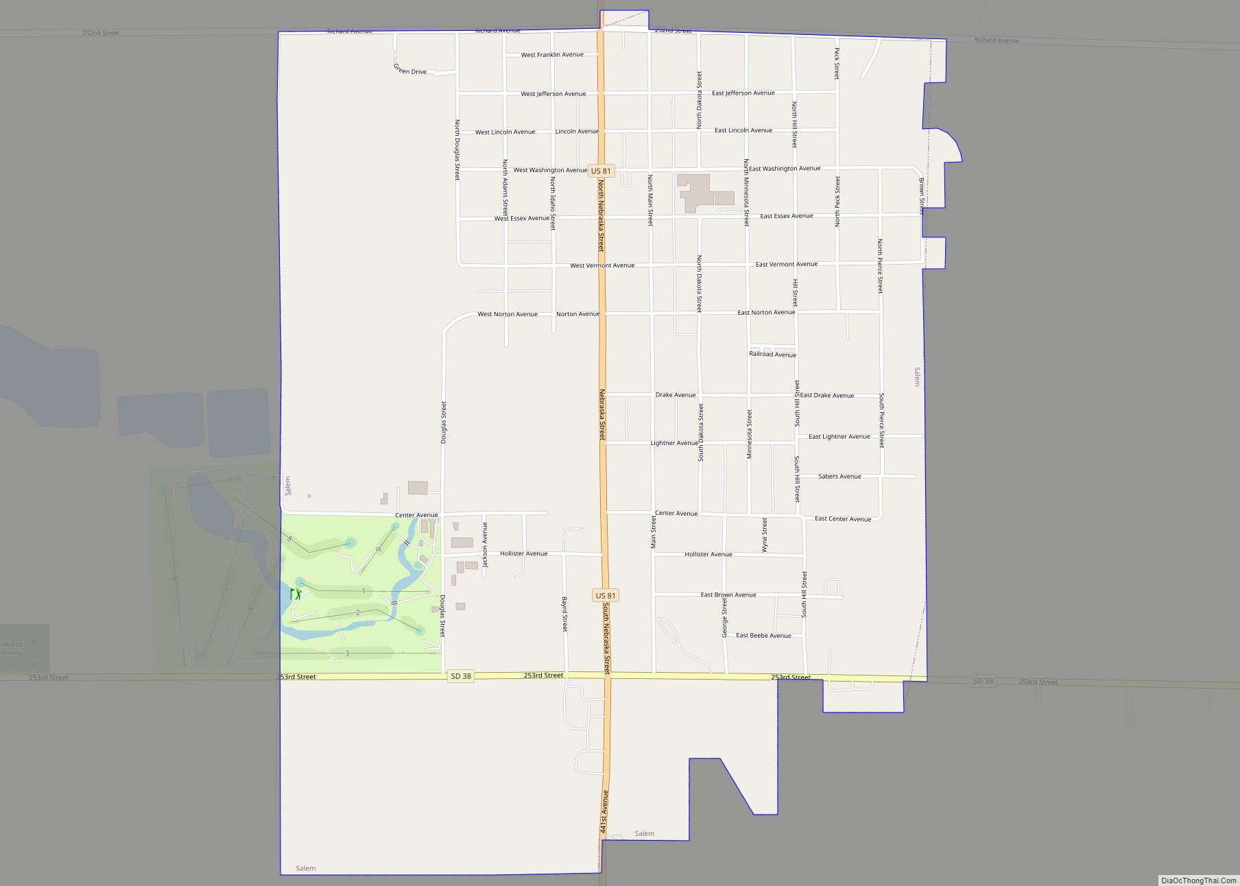
Online Interactive Map
Click on ![]() to view map in "full screen" mode.
to view map in "full screen" mode.
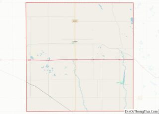
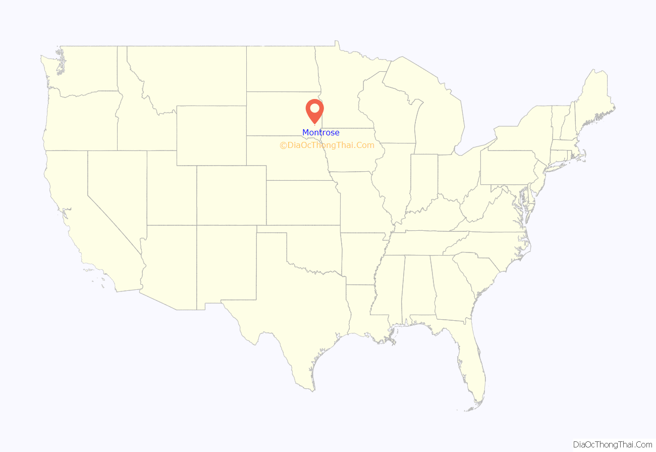
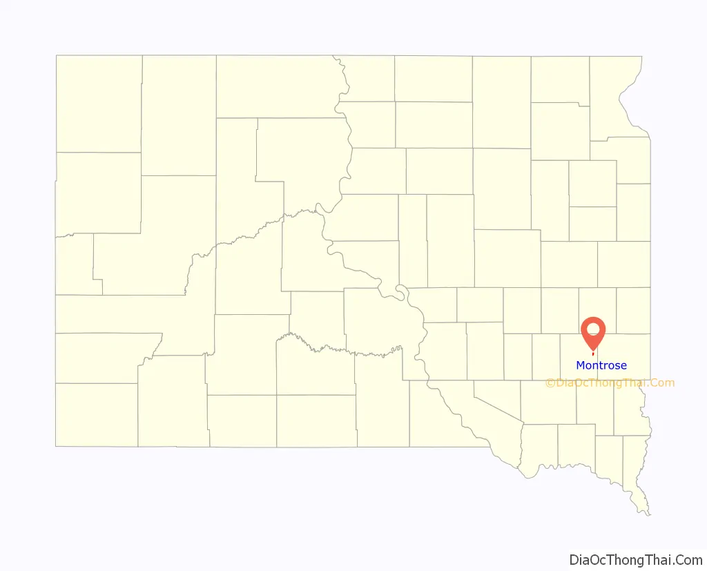
Montrose location map. Where is Montrose city?
History
Montrose was laid out in 1880. Some say the town was named after the novel A Legend of Montrose by Sir Walter Scott, while others believe the name is an amalgamation of “mountain” and “rose”, features near the original town site. A post office has been in operation in Montrose since 1880.
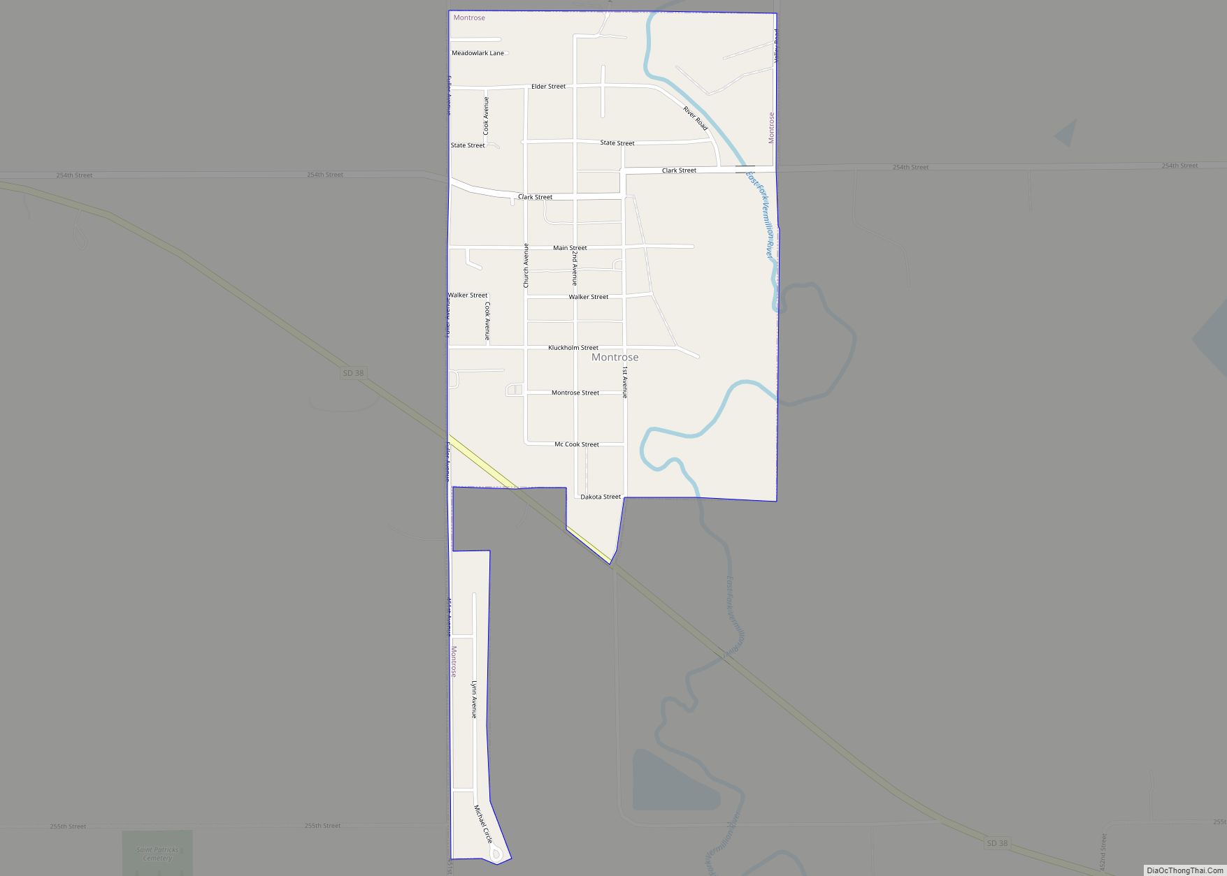
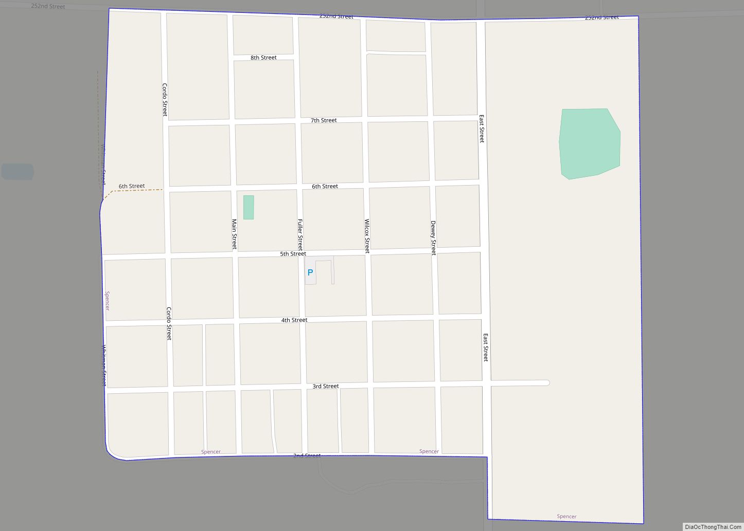
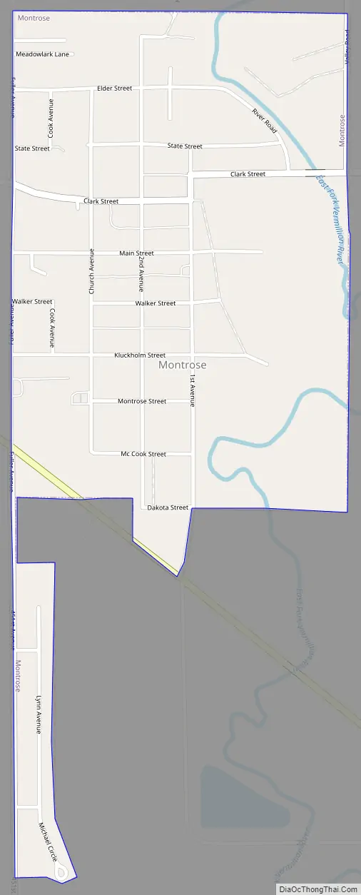
Montrose Road Map
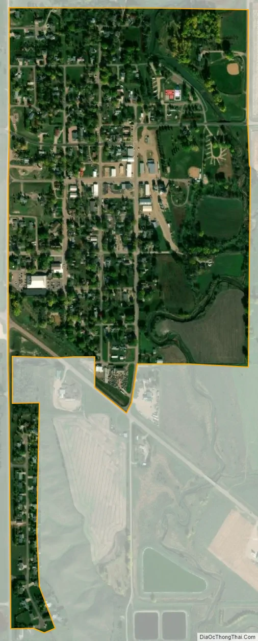
Montrose city Satellite Map
Geography
Montrose is located at 43°41′58″N 97°11′9″W / 43.69944°N 97.18583°W / 43.69944; -97.18583 (43.699453, -97.185858).
According to the United States Census Bureau, the city has a total area of 0.41 square miles (1.06 km), all land.
Montrose has been assigned the ZIP code 57048 and the FIPS place code 43500.
Climate
According to the Köppen Climate Classification system, Montrose has a hot-summer humid continental climate, abbreviated “Dfa” on climate maps.
See also
Map of South Dakota State and its subdivision:- Aurora
- Beadle
- Bennett
- Bon Homme
- Brookings
- Brown
- Brule
- Buffalo
- Butte
- Campbell
- Charles Mix
- Clark
- Clay
- Codington
- Corson
- Custer
- Davison
- Day
- Deuel
- Dewey
- Douglas
- Edmunds
- Fall River
- Faulk
- Grant
- Gregory
- Haakon
- Hamlin
- Hand
- Hanson
- Harding
- Hughes
- Hutchinson
- Hyde
- Jackson
- Jerauld
- Jones
- Kingsbury
- Lake
- Lawrence
- Lincoln
- Lyman
- Marshall
- McCook
- McPherson
- Meade
- Mellette
- Miner
- Minnehaha
- Moody
- Pennington
- Perkins
- Potter
- Roberts
- Sanborn
- Shannon
- Spink
- Stanley
- Sully
- Todd
- Tripp
- Turner
- Union
- Walworth
- Yankton
- Ziebach
- Alabama
- Alaska
- Arizona
- Arkansas
- California
- Colorado
- Connecticut
- Delaware
- District of Columbia
- Florida
- Georgia
- Hawaii
- Idaho
- Illinois
- Indiana
- Iowa
- Kansas
- Kentucky
- Louisiana
- Maine
- Maryland
- Massachusetts
- Michigan
- Minnesota
- Mississippi
- Missouri
- Montana
- Nebraska
- Nevada
- New Hampshire
- New Jersey
- New Mexico
- New York
- North Carolina
- North Dakota
- Ohio
- Oklahoma
- Oregon
- Pennsylvania
- Rhode Island
- South Carolina
- South Dakota
- Tennessee
- Texas
- Utah
- Vermont
- Virginia
- Washington
- West Virginia
- Wisconsin
- Wyoming