Aledo /ʌˈliːdoʊ/ (u-LEE-doh) is a city in Mercer County, Illinois, United States. The population was 3,633 at the 2020 census. It is the county seat of Mercer County.
| Name: | Aledo city |
|---|---|
| LSAD Code: | 25 |
| LSAD Description: | city (suffix) |
| State: | Illinois |
| County: | Mercer County |
| Elevation: | 736 ft (224 m) |
| Total Area: | 2.38 sq mi (6.16 km²) |
| Land Area: | 2.37 sq mi (6.13 km²) |
| Water Area: | 0.01 sq mi (0.03 km²) |
| Total Population: | 3,633 |
| Population Density: | 1,534.21/sq mi (592.30/km²) |
| ZIP code: | 61231 |
| Area code: | 309 |
| FIPS code: | 1700646 |
| Website: | www.aledoil.org |
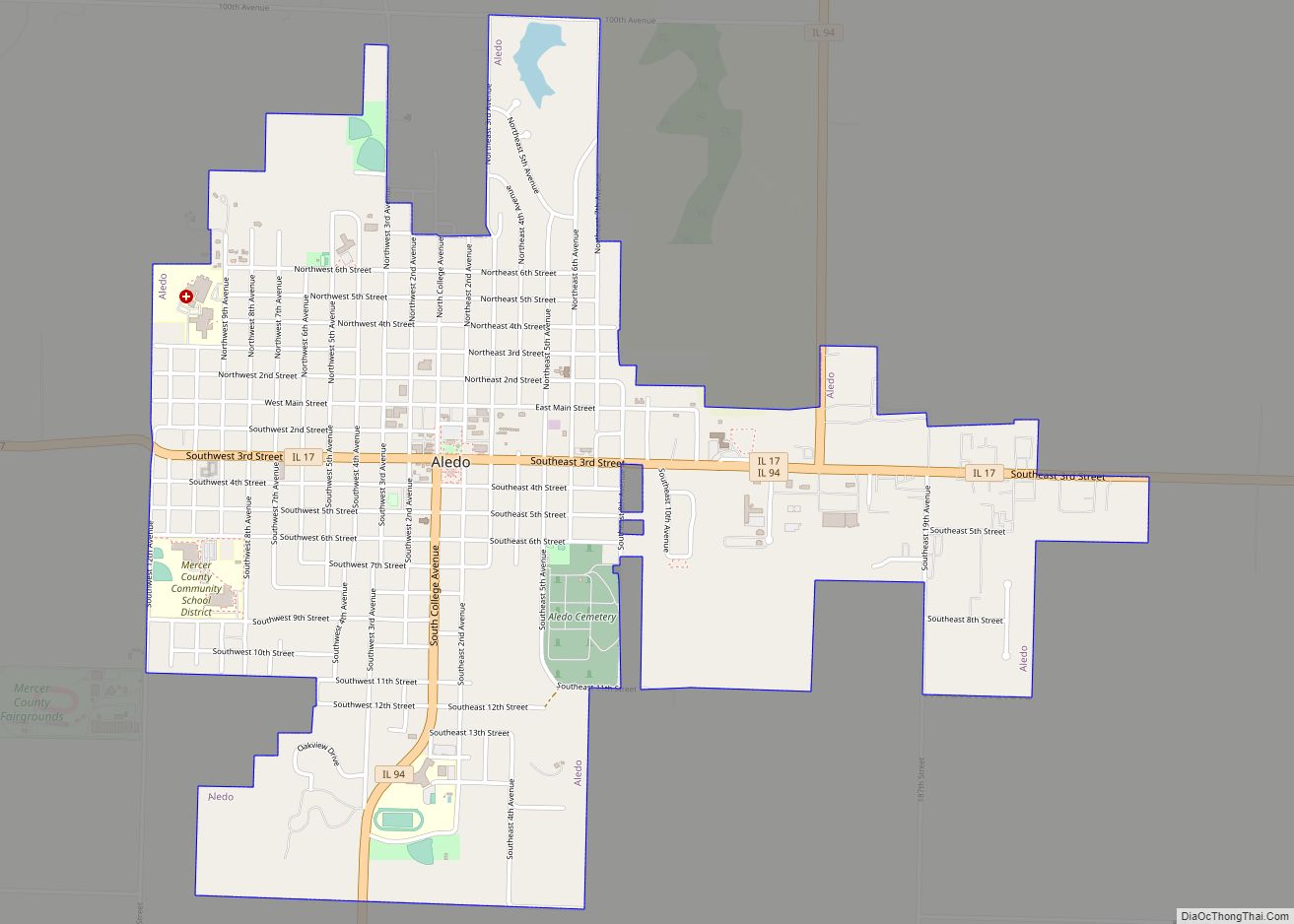
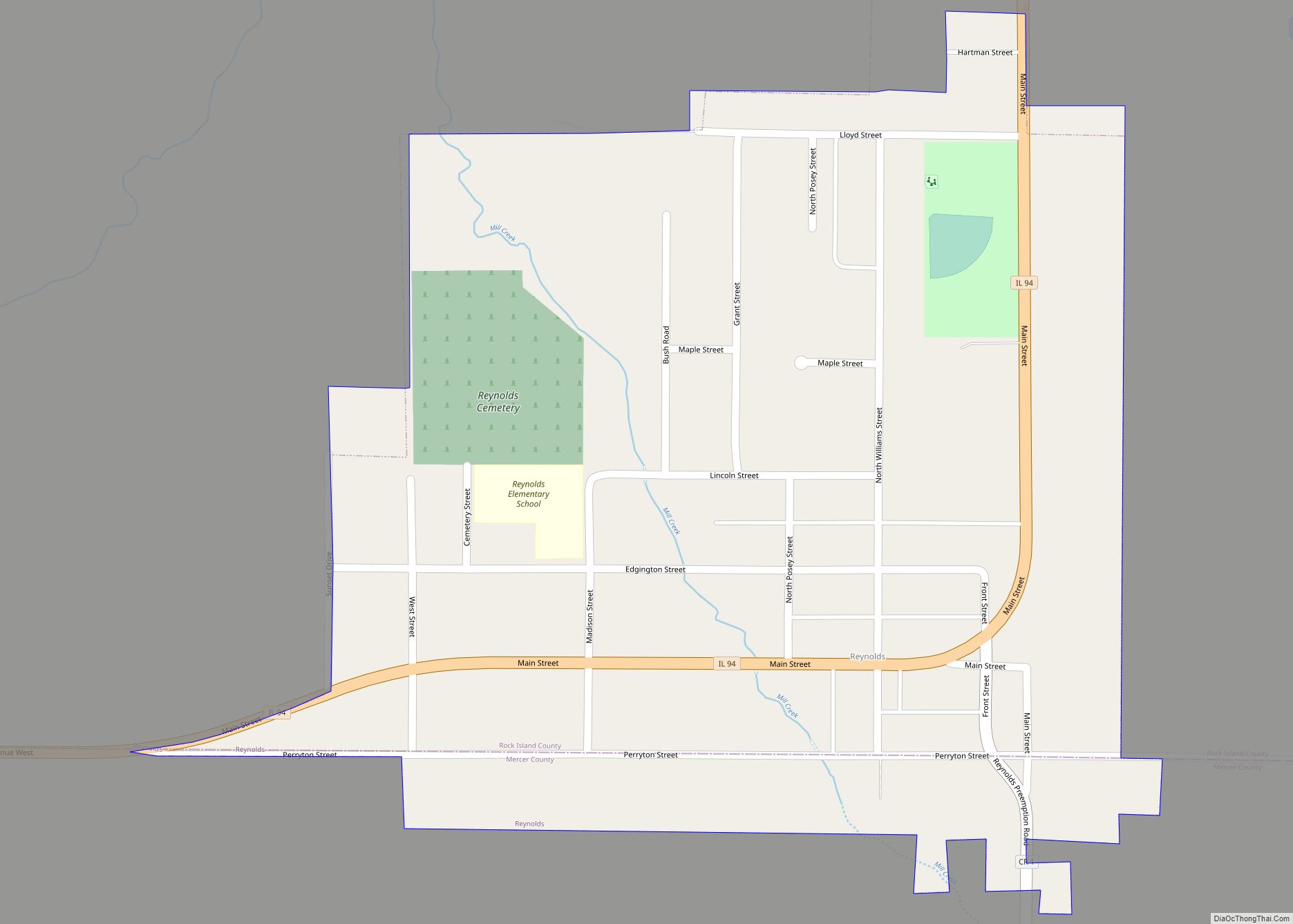
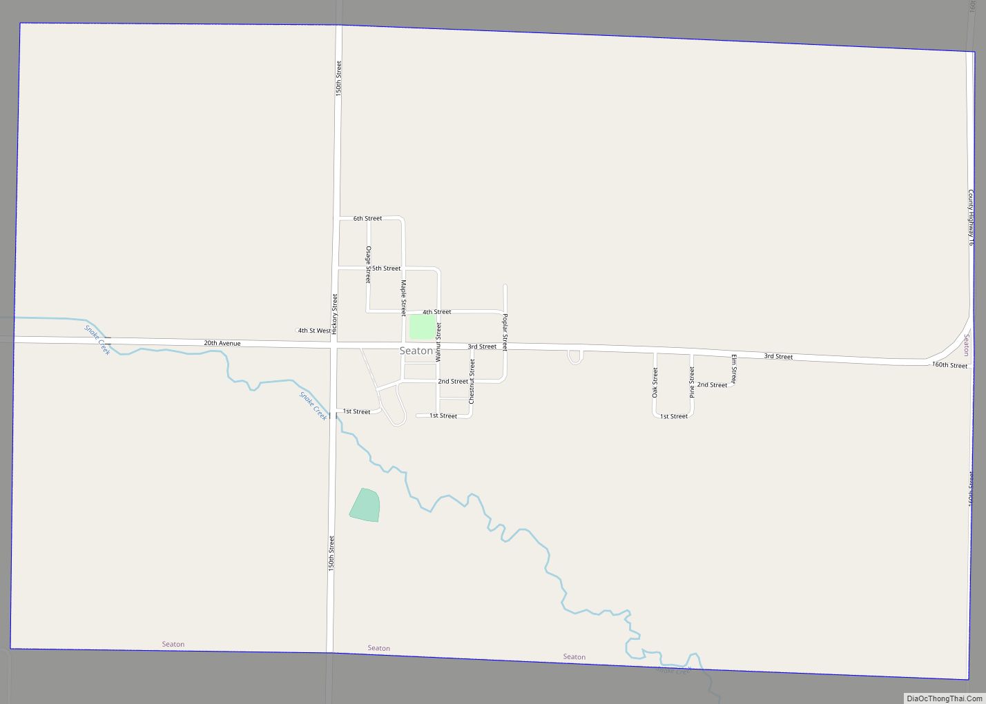
Online Interactive Map
Click on ![]() to view map in "full screen" mode.
to view map in "full screen" mode.
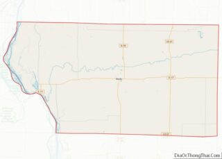
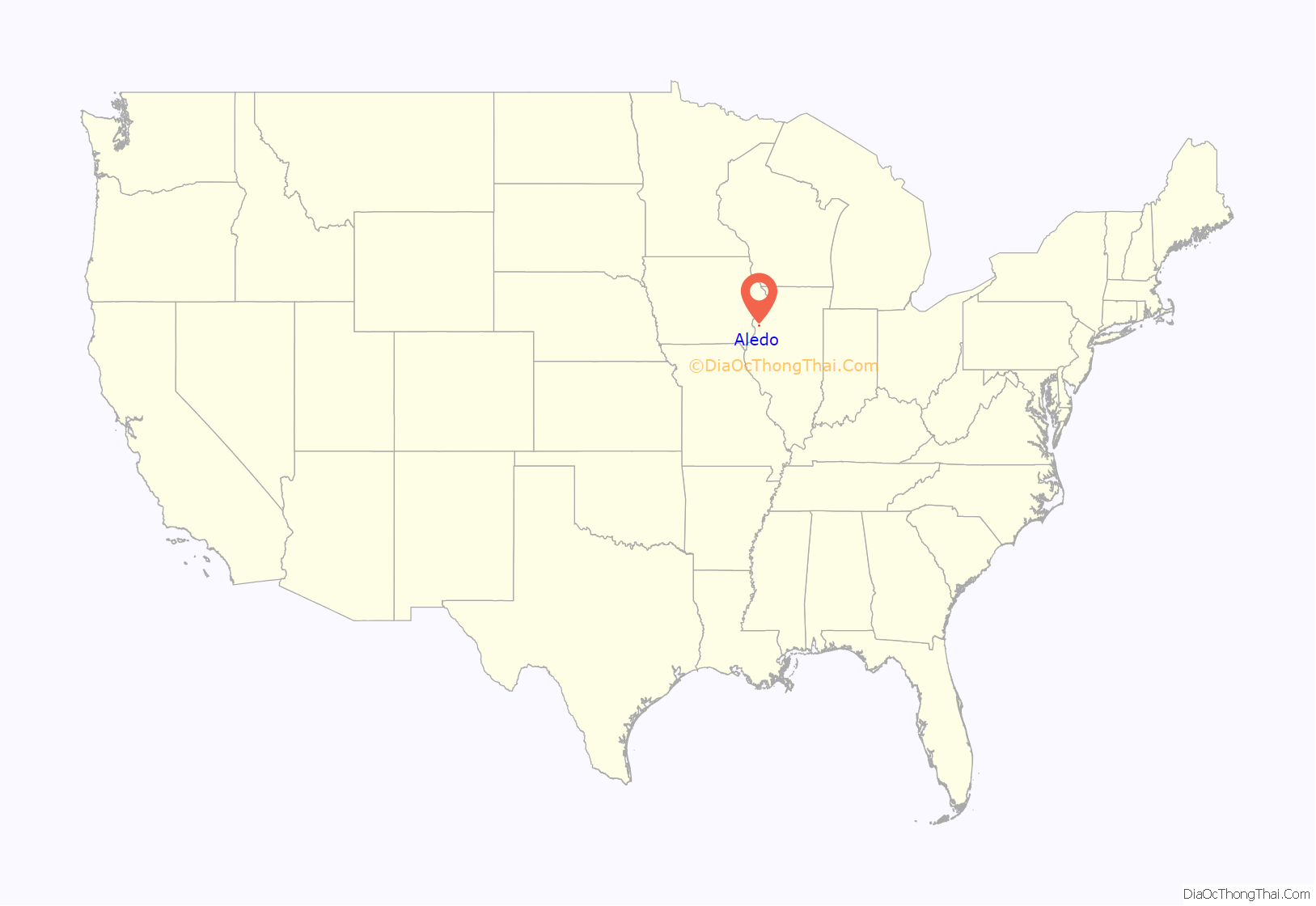
Aledo location map. Where is Aledo city?
History
Aledo was established in the 1850s when the railroad was extended to that point. It was briefly named “DeSoto”, after Hernando de Soto, until the discovery of an identically named village in Jackson County, Illinois. Development began in the 1850s, and the oldest surviving buildings date from the following decade. A post office has been in operation at Aledo since September 24, 1856. In 1857, the county seat was moved to Aledo from Millersburg after a countywide referendum. Aledo was incorporated on August 15, 1863. In the 1950s, the first Tastee-Freez in the United States was built in the downtown.> The Downtown Aledo Historic District was established in 2016, with 75 contributing historic buildings in the downtown area.
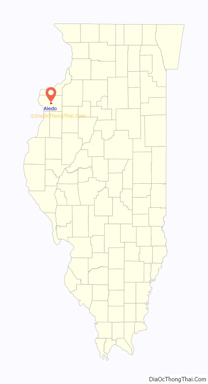
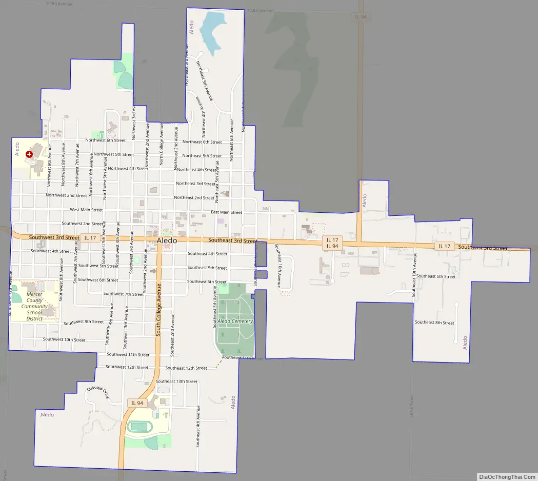
Aledo Road Map
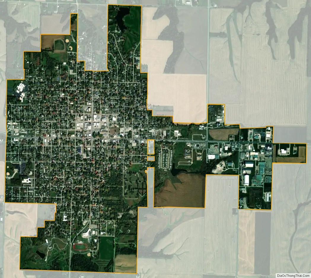
Aledo city Satellite Map
Geography
Aledo is located in central Mercer County at 41°12′1″N 90°45′0″W / 41.20028°N 90.75000°W / 41.20028; -90.75000 (41.200172, -90.749956). Illinois Route 17 passes through the city center on Third Street, leading east 8 miles (13 km) to Viola and west 14 miles (23 km) to New Boston on the Mississippi River. Illinois Route 94 follows IL 17 along Southeast Third Street turns south at the city center onto South College Avenue. IL 94 leads south-southwest 29 miles (47 km) to Biggsville and northeast 22 miles (35 km) to U.S. Route 67 on the southern outskirts of the Quad Cities.
According to the U.S. Census Bureau, Aledo has a total area of 2.36 square miles (6.11 km), of which 0.012 square miles (0.03 km), or 0.51%, are water. The city sits on high ground that drains north to the Edwards River, a west-flowing direct tributary of the Mississippi, and south to Pike Run, a tributary of Pope Creek, which flows to the Mississippi at Keithsburg.
Climate
See also
Map of Illinois State and its subdivision:- Adams
- Alexander
- Bond
- Boone
- Brown
- Bureau
- Calhoun
- Carroll
- Cass
- Champaign
- Christian
- Clark
- Clay
- Clinton
- Coles
- Cook
- Crawford
- Cumberland
- De Kalb
- De Witt
- Douglas
- Dupage
- Edgar
- Edwards
- Effingham
- Fayette
- Ford
- Franklin
- Fulton
- Gallatin
- Greene
- Grundy
- Hamilton
- Hancock
- Hardin
- Henderson
- Henry
- Iroquois
- Jackson
- Jasper
- Jefferson
- Jersey
- Jo Daviess
- Johnson
- Kane
- Kankakee
- Kendall
- Knox
- La Salle
- Lake
- Lake Michigan
- Lawrence
- Lee
- Livingston
- Logan
- Macon
- Macoupin
- Madison
- Marion
- Marshall
- Mason
- Massac
- McDonough
- McHenry
- McLean
- Menard
- Mercer
- Monroe
- Montgomery
- Morgan
- Moultrie
- Ogle
- Peoria
- Perry
- Piatt
- Pike
- Pope
- Pulaski
- Putnam
- Randolph
- Richland
- Rock Island
- Saint Clair
- Saline
- Sangamon
- Schuyler
- Scott
- Shelby
- Stark
- Stephenson
- Tazewell
- Union
- Vermilion
- Wabash
- Warren
- Washington
- Wayne
- White
- Whiteside
- Will
- Williamson
- Winnebago
- Woodford
- Alabama
- Alaska
- Arizona
- Arkansas
- California
- Colorado
- Connecticut
- Delaware
- District of Columbia
- Florida
- Georgia
- Hawaii
- Idaho
- Illinois
- Indiana
- Iowa
- Kansas
- Kentucky
- Louisiana
- Maine
- Maryland
- Massachusetts
- Michigan
- Minnesota
- Mississippi
- Missouri
- Montana
- Nebraska
- Nevada
- New Hampshire
- New Jersey
- New Mexico
- New York
- North Carolina
- North Dakota
- Ohio
- Oklahoma
- Oregon
- Pennsylvania
- Rhode Island
- South Carolina
- South Dakota
- Tennessee
- Texas
- Utah
- Vermont
- Virginia
- Washington
- West Virginia
- Wisconsin
- Wyoming