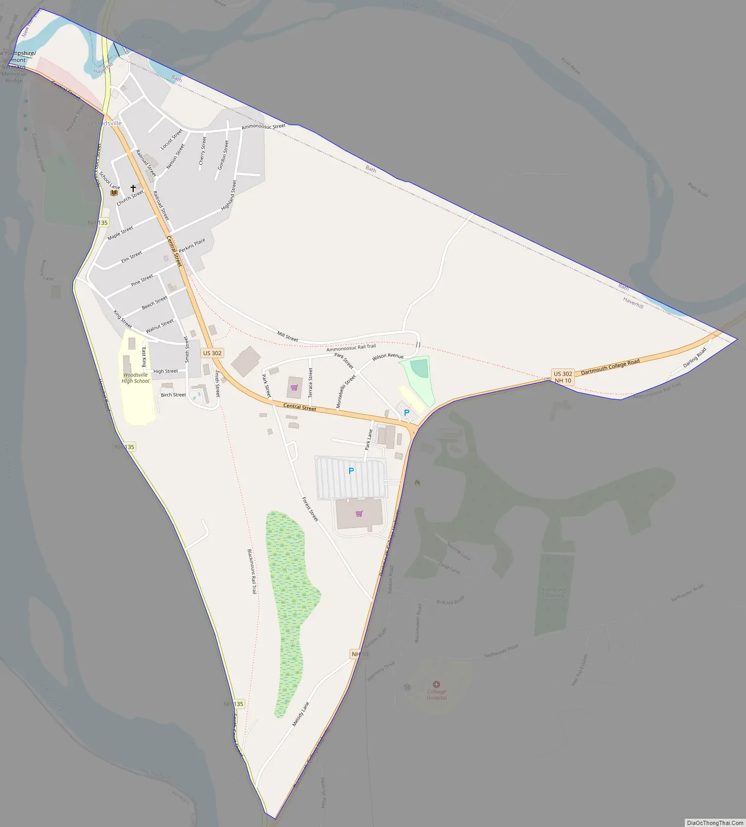
Woodsville is a census-designated place (CDP) and the largest village in the town of Haverhill in Grafton County, New Hampshire, United States, along the Connecticut River at the mouth of the Ammonoosuc River. The population was 1,431 at the 2020 census. Although North Haverhill is now the county seat of Grafton County, the village of Woodsville has traditionally been considered the county seat, as the county courthouse was originally located there. The county buildings are now located halfway between Woodsville and the village of North Haverhill to the south.
| Name: | Woodsville CDP |
|---|---|
| LSAD Code: | 57 |
| LSAD Description: | CDP (suffix) |
| State: | New Hampshire |
| County: | Grafton County |
| Elevation: | 456 ft (139 m) |
| Total Area: | 1.88 sq mi (4.86 km²) |
| Land Area: | 1.85 sq mi (4.79 km²) |
| Water Area: | 0.03 sq mi (0.07 km²) |
| Total Population: | 1,431 |
| Population Density: | 773.51/sq mi (298.68/km²) |
| ZIP code: | 03785 |
| Area code: | 603 |
| FIPS code: | 3387140 |
| GNISfeature ID: | 0870998 |
Online Interactive Map
Click on ![]() to view map in "full screen" mode.
to view map in "full screen" mode.
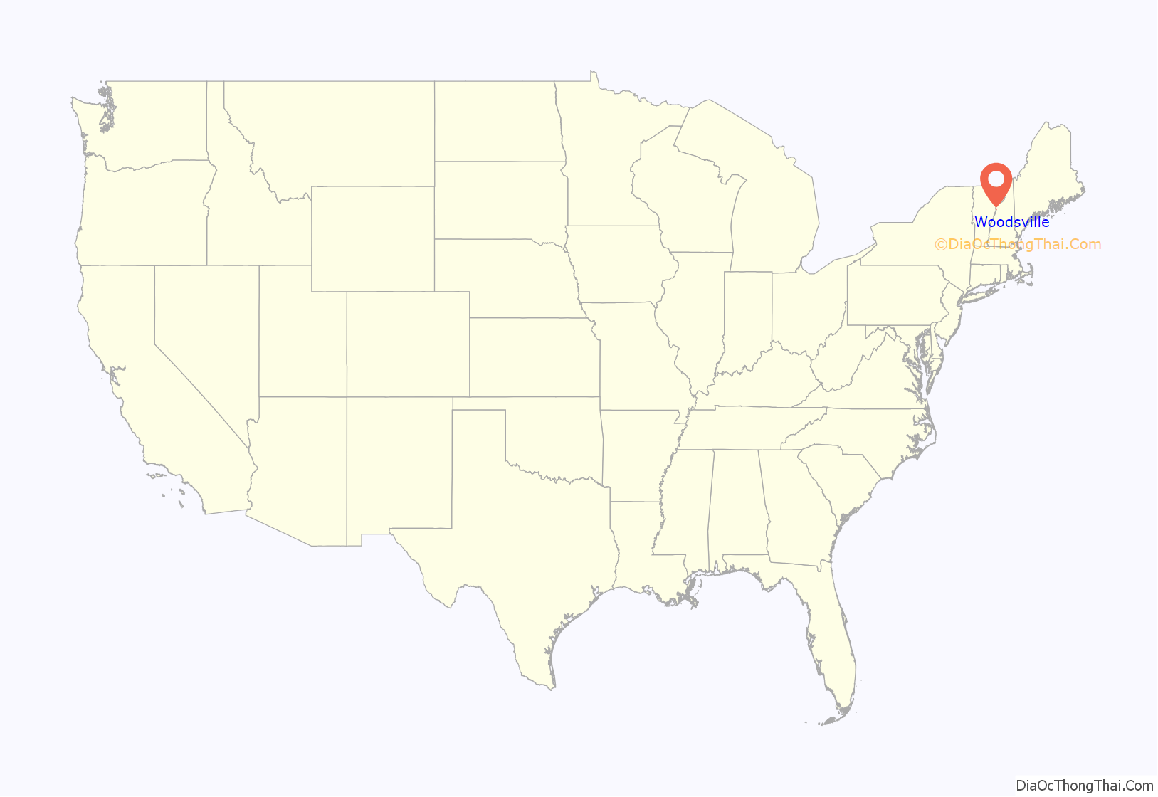
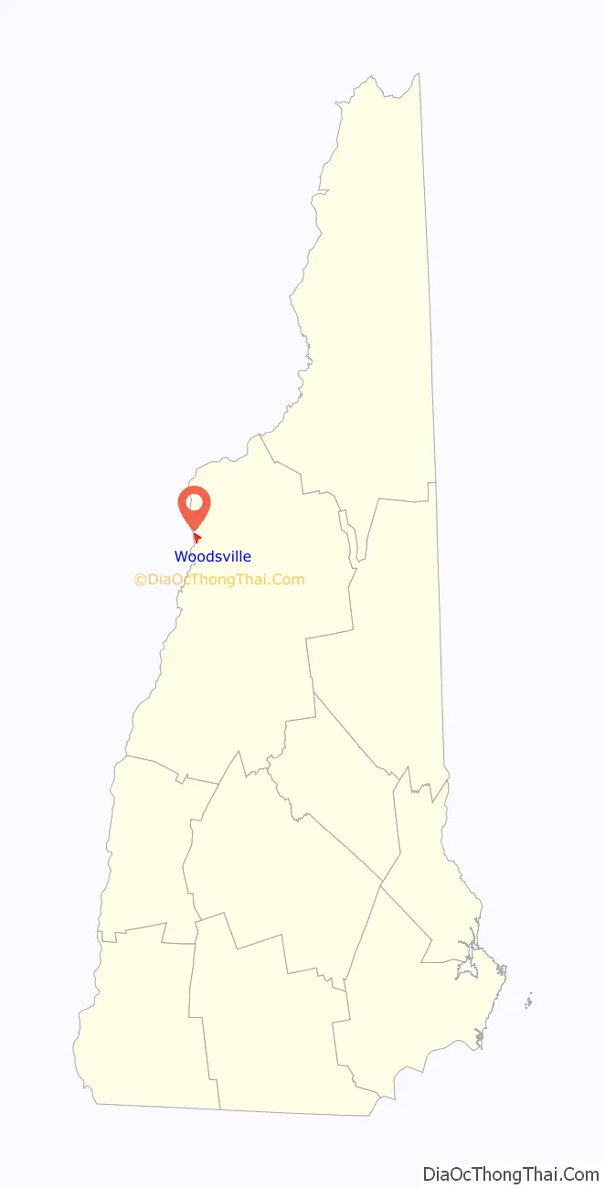
Woodsville location map. Where is Woodsville CDP?
History
Woodsville was named for John L. Woods, a figure in its early development. He arrived from Wells River, Vermont, a village across the Connecticut River narrows in Newbury, and in 1829 purchased a sawmill which had been operating on the Ammonoosuc River since 1811. He manufactured pine lumber, and opened a store in his house. Spring snowmelt carried log drives down the Connecticut and Ammonoosuc rivers. A log boom was built across the Connecticut River to Wells River to hold the logs briefly for sorting. Logs not destined for Woods’ mill were released gradually to avoid jams in the Ox Bow meadow downstream. Log drivers detailed to work at the boom enjoyed Woodsville’s saloons and red-light district.
The Boston, Concord & Montreal Railroad opened at Woodsville in 1853 and built its division offices and a branch repair shop. It replaced the original 1805 bridge between the states with a two-level span, featuring a toll highway below and railroad tracks on the roof. The village boomed into an important railway town and junction, endowed with fine examples of Victorian architecture. It also became a center for legal affairs. The log drives were stopped after 1915, when pleasure boat owners complained about the hazards to navigation. In 1889, the Grafton County Court moved from Haverhill Corner to Woodsville, where it remained until moving halfway to North Haverhill in 1972.
Maple Street in 1906
Railroad bridge c. 1906
Opera Block c. 1915
Woodsville Road Map
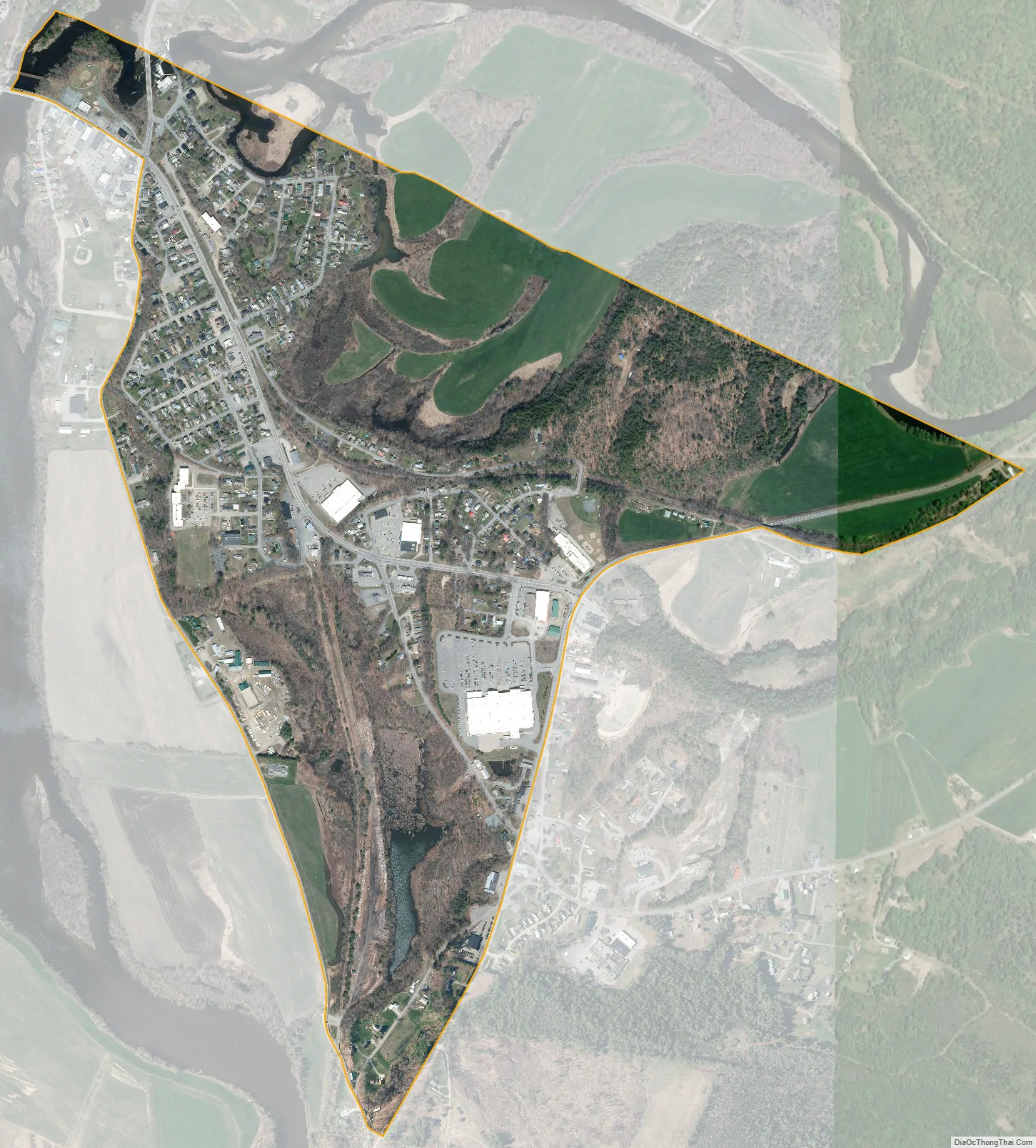
Woodsville city Satellite Map
Geography
Woodsville is in the northwest corner of the town of Haverhill, bordered to the north by the town of Bath and to the west by the Connecticut River, which forms the state border with Vermont. According to the United States Census Bureau, the CDP has a total area of 1.9 square miles (4.9 km), of which 1.9 square miles (4.8 km) are land and 0.04 square miles (0.1 km), or 1.46%, are water. The Ammonoosuc River runs just north of the CDP and reaches its confluence with the Connecticut River at the northernmost point in the community.
Woodsville is crossed by U.S. Route 302 and by state routes 10 and 135. US 302 leads northeast 21 miles (34 km) to Littleton and west across the Connecticut River to Wells River, Vermont, and 3 miles (5 km) to Interstate 91. Route 10 leads south from Woodsville 37 miles (60 km) to Hanover, and Route 135 leads north 20 miles (32 km) to Interstate 93 northwest of Littleton.
Woodsville serves as the commercial center for the town of Haverhill and the surrounding communities, including several just to the west in Vermont. Many of the town’s commercial businesses, including supermarkets, sit-down and fast-food restaurants, and banks, are located near the junction of US 302 and NH 10. Cottage Hospital, a critical-access hospital serving the area, is also located in Woodsville.
See also
Map of New Hampshire State and its subdivision: Map of other states:- Alabama
- Alaska
- Arizona
- Arkansas
- California
- Colorado
- Connecticut
- Delaware
- District of Columbia
- Florida
- Georgia
- Hawaii
- Idaho
- Illinois
- Indiana
- Iowa
- Kansas
- Kentucky
- Louisiana
- Maine
- Maryland
- Massachusetts
- Michigan
- Minnesota
- Mississippi
- Missouri
- Montana
- Nebraska
- Nevada
- New Hampshire
- New Jersey
- New Mexico
- New York
- North Carolina
- North Dakota
- Ohio
- Oklahoma
- Oregon
- Pennsylvania
- Rhode Island
- South Carolina
- South Dakota
- Tennessee
- Texas
- Utah
- Vermont
- Virginia
- Washington
- West Virginia
- Wisconsin
- Wyoming