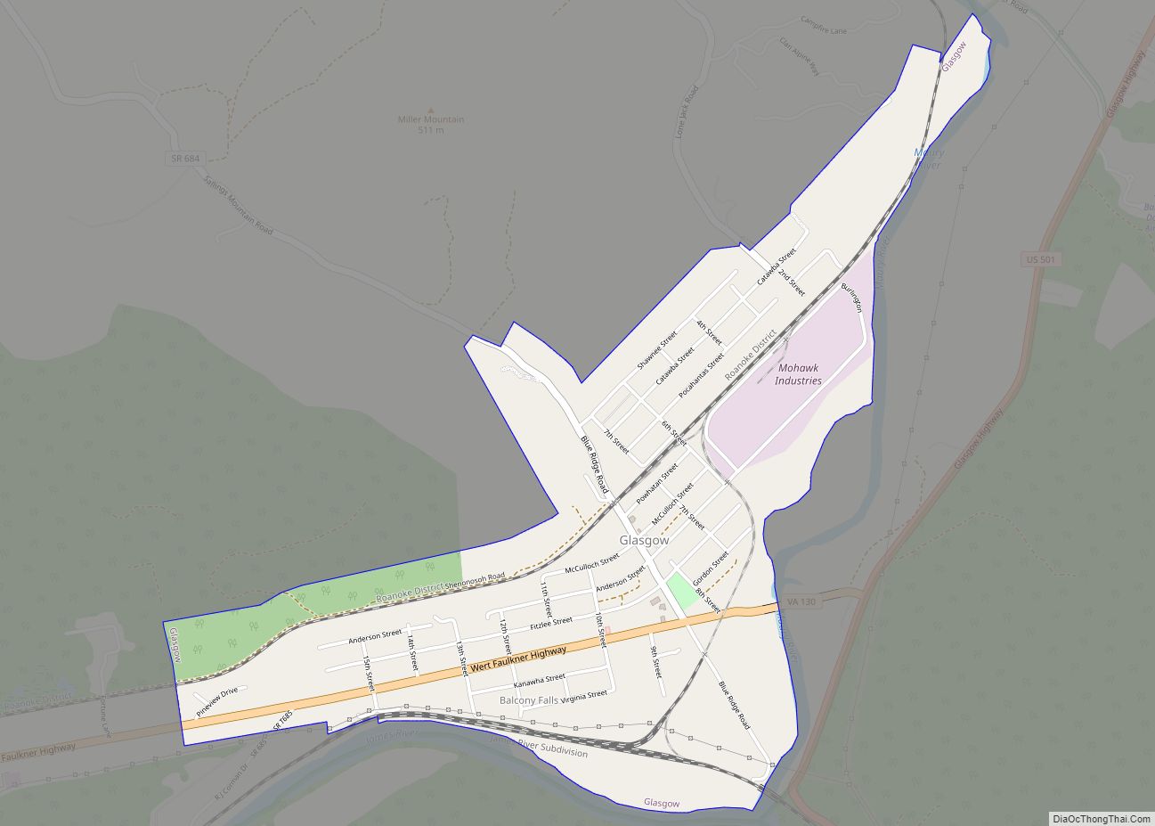
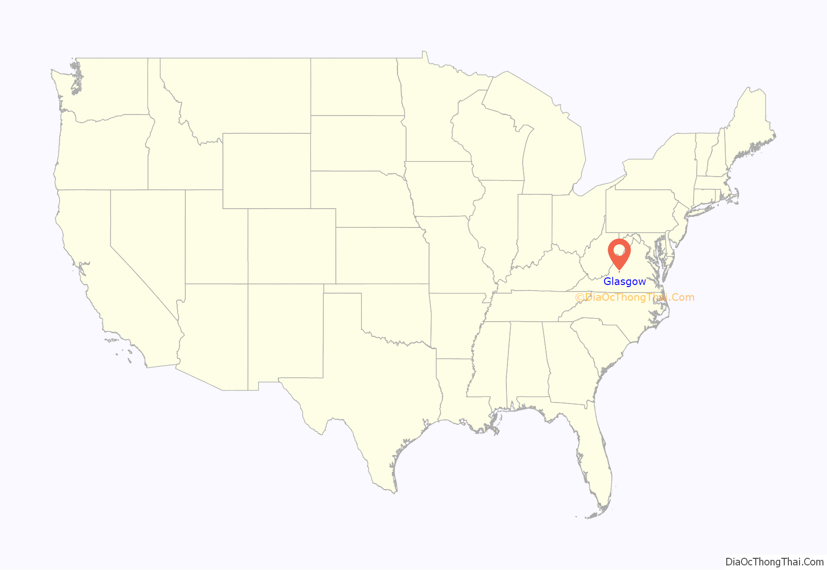
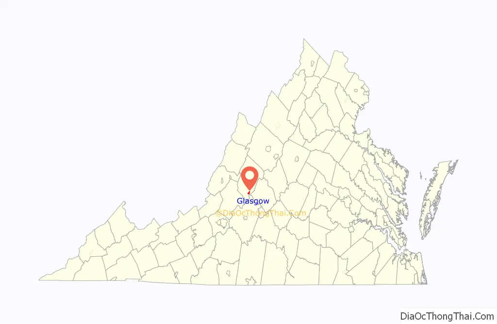
Glasgow is a town in Rockbridge County, Virginia, United States, at the confluence of the James and Maury Rivers. The population was 1,133 at the 2010 census.
Glasgow has had issues with flooding, notably during Hurricane Camille in 1969. As a result of flooding concerns, the Balcony Falls Dam (just east of the confluence of the James and Maury rivers) was removed in 1973. From 2001 to 2007, the town was known for having at least a dozen fiberglass dinosaur figures along the roadside.
| Name: | Glasgow town |
|---|---|
| LSAD Code: | 43 |
| LSAD Description: | town (suffix) |
| State: | Virginia |
| County: | Rockbridge County |
| Elevation: | 738 ft (225 m) |
| Total Area: | 1.53 sq mi (3.97 km²) |
| Land Area: | 1.53 sq mi (3.95 km²) |
| Water Area: | 0.01 sq mi (0.01 km²) |
| Total Population: | 1,133 |
| Population Density: | 722.80/sq mi (279.05/km²) |
| ZIP code: | 24555 |
| Area code: | 540 |
| FIPS code: | 5131136 |
| GNISfeature ID: | 1494956 |
Online Interactive Map
Click on ![]() to view map in "full screen" mode.
to view map in "full screen" mode.
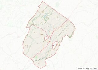
Glasgow location map. Where is Glasgow town?
History
German explorer John Peter Salling and his brother Adam were the first Europeans to settle in what is known today as Glasgow around 1741. In December 1742, the Battle of Galudoghson between Iroquois warriors and a company of Virginia militia took place near the confluence of the James River and the Maury River. The militia captain, John McDowell, was killed, along with eight militia soldiers. Between 1760 and 1768, John Paxton II acquired most of the Salling property. Robert, Joseph, and Arthur Glasgow settled in the area in 1768. Glasgow was named after Joseph Glasgow, son of Arthur. Joseph and his wife, Nancy Ellis McCullough, built their home, known as Union Ridge, in 1823.
In 1854 Frank Padgett, a Black slave, drowned while attempting to rescue passengers stranded on a canal boat by the swollen James River. A granite obelisk monument commemorating his death stands in Glasgow’s Centennial Park.
Glasgow was established on March 5, 1890, when the Rockbridge Company held a drawing of lots. At that time only two houses, Union Ridge and the Salling home, stood in Glasgow, which then had a population of only 20 people. By 1892, the town had paved roads, streetlamps, telephone service and a 200-room hotel, the Rockbridge Hotel. The panic of 1893, however, led to an economic collapse that put the Rockbridge Company out of business. The hotel was abandoned and torn down around 1906. The Virginia Electrical Power Company (VEPCO, now Dominion Energy) built a hydroelectric plant at Balcony Falls in 1915. The plant was in operation until 1969. Citing evidence that the devastating flood of 1969 would not have been as bad if the dam were not there, citizens of Glasgow petitioned to have the dam removed in 1974. Flooding has affected the city numerous times in its history. Since the earliest recorded flood in 1877, the city was flooded in 1936, 1950, 1969, 1972, 1985, and 1995, with the floods of 1936, 1969 and 1985 being the worst.
Glasgow Road Map
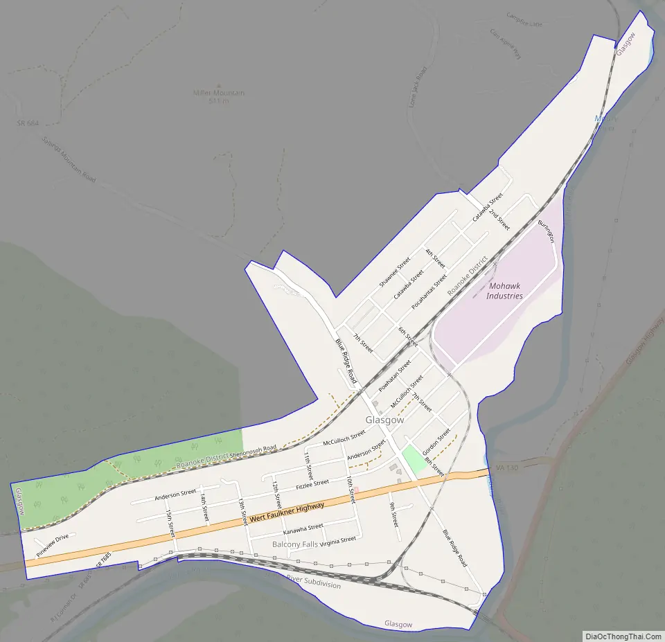
Glasgow city Satellite Map

Geography
Glasgow is located at 37°37′59″N 79°27′06″W / 37.633093°N 79.451542°W / 37.633093; -79.451542 (37.633093, -79.451542). Glasgow is about 6 miles east of the community of Natural Bridge, the site of the historic land bridge of the same name.
According to the United States Census Bureau, the town has a total area of 1.5 square miles (3.9 km), all of it land.
Climate
The climate in this area is characterized by hot, humid summers and generally mild to cool winters. According to the Köppen Climate Classification system, Glasgow has a humid subtropical climate, abbreviated “Cfa” on climate maps. On July 15, 1954, Balcony Falls recorded a maximum temperature of 115 °F (46 °C), which is the highest temperature ever recorded in the state of Virginia.
See also
Map of Virginia State and its subdivision:- Accomack
- Albemarle
- Alexandria
- Alleghany
- Amelia
- Amherst
- Appomattox
- Arlington
- Augusta
- Bath
- Bedford
- Bedford City
- Bland
- Botetourt
- Bristol
- Brunswick
- Buchanan
- Buckingham
- Buena Vista
- Campbell
- Caroline
- Carroll
- Charles City
- Charlotte
- Charlottesville
- Chesapeake
- Chesterfield
- Clarke
- Clifton Forge City
- Colonial Heights
- Covington
- Craig
- Culpeper
- Cumberland
- Danville
- Dickenson
- Dinwiddie
- Emporia
- Essex
- Fairfax
- Fairfax City
- Falls Church
- Fauquier
- Floyd
- Fluvanna
- Franklin
- Frederick
- Fredericksburg
- Galax
- Giles
- Gloucester
- Goochland
- Grayson
- Greene
- Greensville
- Halifax
- Hampton
- Hanover
- Harrisonburg
- Henrico
- Henry
- Highland
- Hopewell
- Isle of Wight
- James City
- King and Queen
- King George
- King William
- Lancaster
- Lee
- Lexington
- Loudoun
- Louisa
- Lunenburg
- Lynchburg
- Madison
- Manassas
- Manassas Park
- Martinsville
- Mathews
- Mecklenburg
- Middlesex
- Montgomery
- Nelson
- New Kent
- Newport News
- Norfolk
- Northampton
- Northumberland
- Norton
- Nottoway
- Orange
- Page
- Patrick
- Petersburg
- Pittsylvania
- Poquoson
- Portsmouth
- Powhatan
- Prince Edward
- Prince George
- Prince William
- Pulaski
- Radford
- Rappahannock
- Richmond
- Roanoke
- Roanoke City
- Rockbridge
- Rockingham
- Russell
- Salem
- Scott
- Shenandoah
- Smyth
- Southampton
- Spotsylvania
- Stafford
- Staunton
- Suffolk
- Surry
- Sussex
- Tazewell
- Virginia Beach
- Warren
- Washington
- Waynesboro
- Westmoreland
- Williamsburg
- Winchester
- Wise
- Wythe
- York
- Alabama
- Alaska
- Arizona
- Arkansas
- California
- Colorado
- Connecticut
- Delaware
- District of Columbia
- Florida
- Georgia
- Hawaii
- Idaho
- Illinois
- Indiana
- Iowa
- Kansas
- Kentucky
- Louisiana
- Maine
- Maryland
- Massachusetts
- Michigan
- Minnesota
- Mississippi
- Missouri
- Montana
- Nebraska
- Nevada
- New Hampshire
- New Jersey
- New Mexico
- New York
- North Carolina
- North Dakota
- Ohio
- Oklahoma
- Oregon
- Pennsylvania
- Rhode Island
- South Carolina
- South Dakota
- Tennessee
- Texas
- Utah
- Vermont
- Virginia
- Washington
- West Virginia
- Wisconsin
- Wyoming