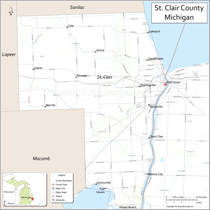
St. Clair County is a county located in the U.S. state of Michigan and bordering the west bank of the St. Clair River. As of the 2020 census, the population was 160,383. It is the 13th-most populous county in the state. The county seat is Port Huron, located at the north end of the St. Clair River at Lake Huron. The county was created September 10, 1820, and its government was organized in 1821. It is located northeast of Detroit. Geographically, it lies in the Thumb area of eastern Michigan.
| Name: | St. Clair County |
|---|---|
| FIPS code: | 26-147 |
| State: | Michigan |
| Founded: | 1820 |
| Named for: | St. Clare of Assisi |
| Seat: | Port Huron |
| Largest city: | Port Huron |
| Total Area: | 837 sq mi (2,170 km²) |
| Land Area: | 721 sq mi (1,870 km²) |
| Total Population: | 160,383 |
| Population Density: | 226/sq mi (87/km²) |
| Time zone: | UTC−5 (Eastern) |
| Summer Time Zone (DST): | UTC−4 (EDT) |
| Website: | www.stclaircounty.org |
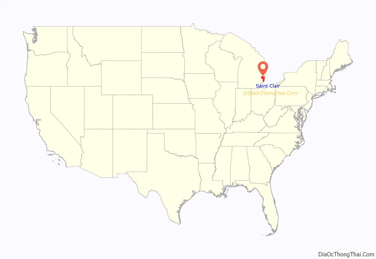
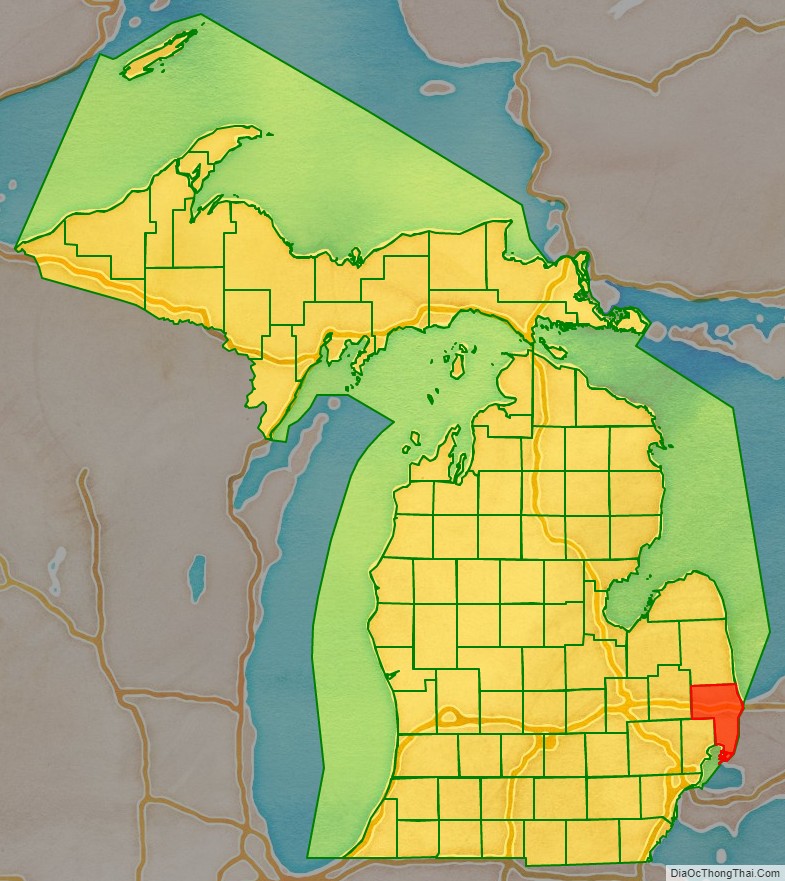
St. Clair County location map. Where is St. Clair County?
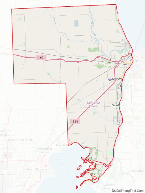
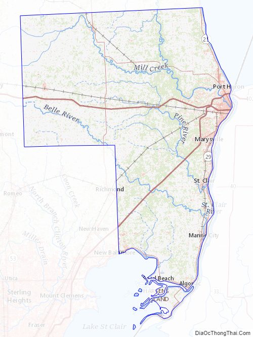
St. Clair County Road Map
Geography
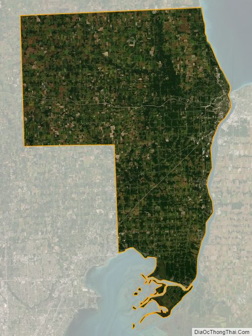
According to the U.S. Census Bureau, the county has a total area of 837 square miles (2,170 km), of which 721 square miles (1,870 km) is land and 115 square miles (300 km) (14%) is water. St. Clair County is one of five counties that form the peninsula, known as the Thumb, that projects into Lake Huron. St. Clair County is closely connected in terms of economy with its neighbors, Metro Detroit and Sanilac County in Michigan, and Lambton County across the river in Ontario, Canada. Saint Clair County is the principal county in The Blue Water Area, a sub-region of the Thumb.
Adjacent counties
Major highways
- I-69 enters the county from the west, coming from Lansing and Flint, terminating at the approach to the Blue Water Bridge in Port Huron. (Once fully completed, the mainline of I-69 will span from Brownsville, Texas to Port Huron, Michigan.)
- I-94 enters St. Clair County from the southwest, having traversed the entire Metro Detroit region, and terminates at the approach to the Blue Water Bridge in Port Huron. On the Canadian side of the border, in Sarnia, Ontario, the route heads easterly, designated as Highway 402.
- BL I-69
- BL I-94
- M-19
- M-25 follows the Lake Huron–Saginaw Bay shoreline, beginning in Bay City and ending at a junction with |I-94/|I-69, and BL I-94/BL I-69 on the north side of Port Huron.
- M-29
- M-136
- M-154 serves Harsens Island, in Lake St. Clair.
St. Clair County Topographic Map
St. Clair County Satellite Map
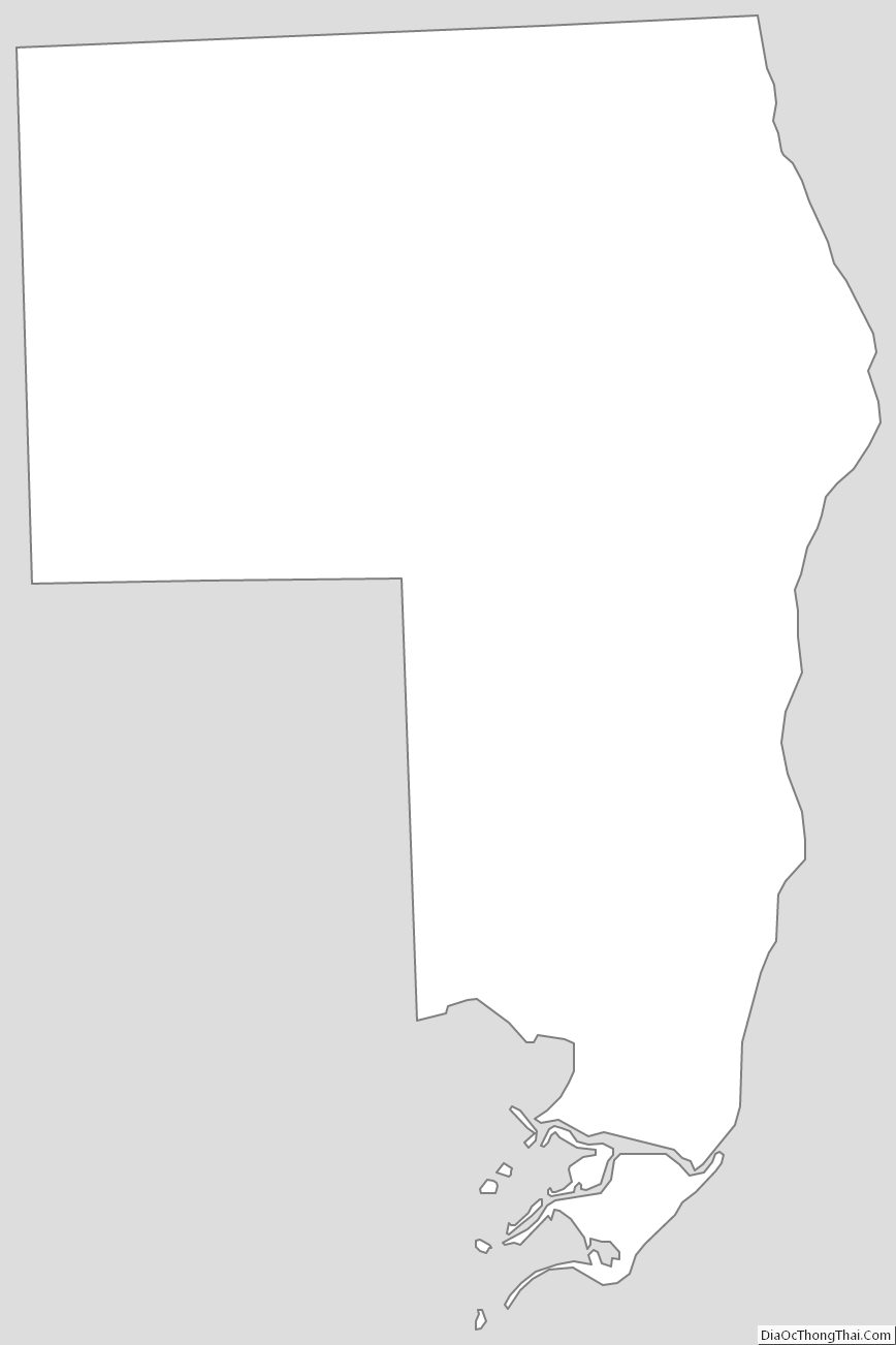
St. Clair County Outline Map