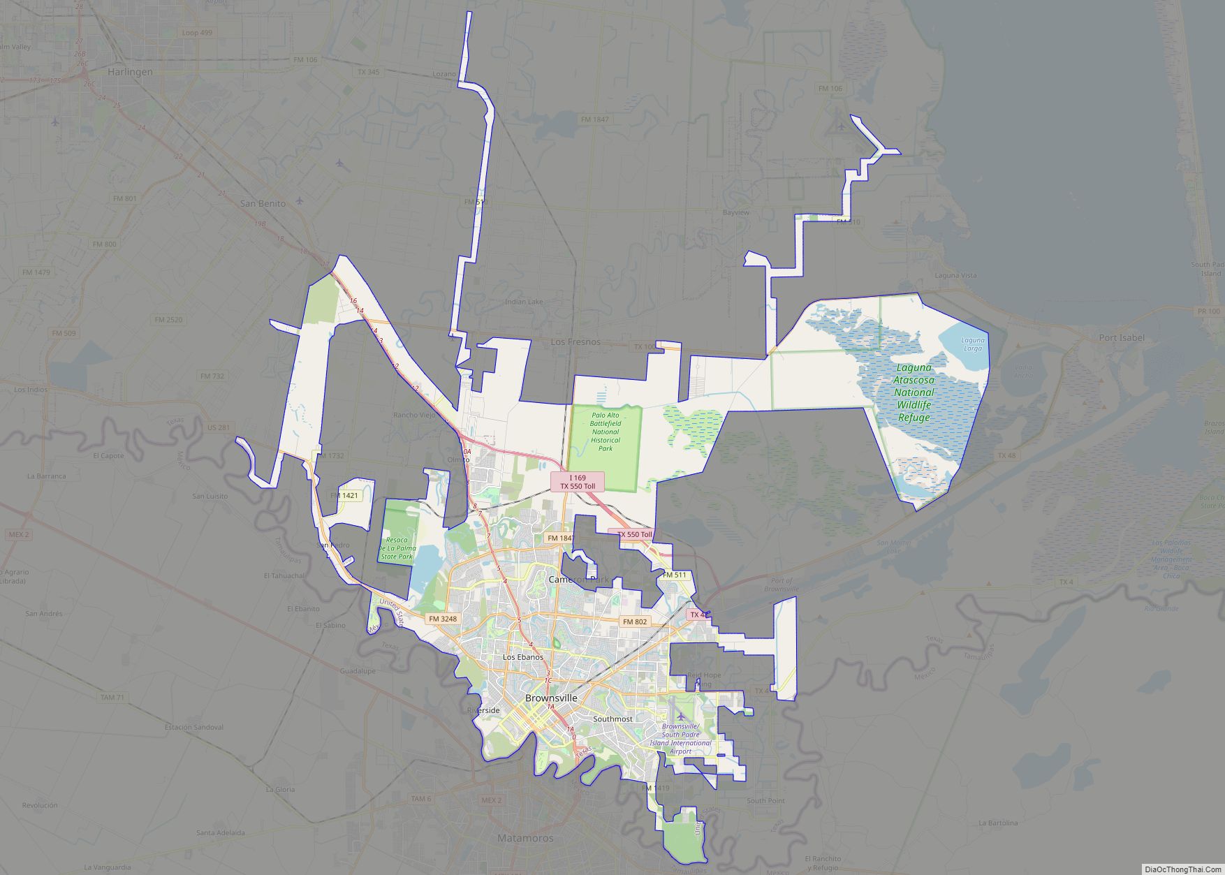
Brownsville (/ˈbraʊnzˌvɪl/) is a city in and the county seat of Cameron County in the U.S. state of Texas. It is on the western Gulf Coast in South Texas, adjacent to the border with Matamoros, Mexico. The city covers 145.2 sq mi (376.066 km), and had a population of 186,738 at the 2020 census. It is the 139th-largest city in the United States and 18th-largest in Texas. It is part of the Matamoros–Brownsville metropolitan area. The city is known for its year-round subtropical climate, deep-water seaport, and Hispanic culture.
The city was founded in 1848 by American entrepreneur Charles Stillman after he developed a successful river-boat company nearby. It was named for Fort Brown, itself named after Major Jacob Brown, who fought and died while serving as a U.S. Army soldier during the Mexican–American War (1846–1848). As a county seat, the city and county governments are major employers. Other primary employers fall within the service, trade, and manufacturing industries, including a growing aerospace and space transportation sector. It operates international trading through the Port of Brownsville. The city experienced a population increase in the early 1900s, when steel production flourished. It is frequently cited as having one of the highest poverty rates in the United States.
Due to significant historical events, the city has multiple houses and battle sites listed under the National Register of Historic Places. It was the scene of several key events of the American Civil War, such as the Battle of Brownsville and the Battle of Palmito Ranch. The city was also involved in the Texas Revolution, as well as the Mexican–American War. Brownsville’s idiosyncratic geographic location has made it a wildlife refuge center. Several state parks and historical sites are protected by the Texas Parks and Wildlife Department.
Brownsville has a predominantly Hispanic population, which at 93.9% is the third-highest proportion of Hispanic Americans of any city in the United States outside of Puerto Rico.
| Name: | Brownsville city |
|---|---|
| LSAD Code: | 25 |
| LSAD Description: | city (suffix) |
| State: | Texas |
| County: | Cameron County |
| Founded: | 1848 |
| Incorporated: | February 7, 1853 |
| Elevation: | 33 ft (10 m) |
| Land Area: | 131.53 sq mi (340.66 km²) |
| Water Area: | 13.66 sq mi (35.37 km²) 4% |
| Population Density: | 1,420/sq mi (548.2/km²) |
| Area code: | 956 |
| FIPS code: | 4810768 |
| GNISfeature ID: | 1372749 |
| Website: | brownsvilletx.gov |
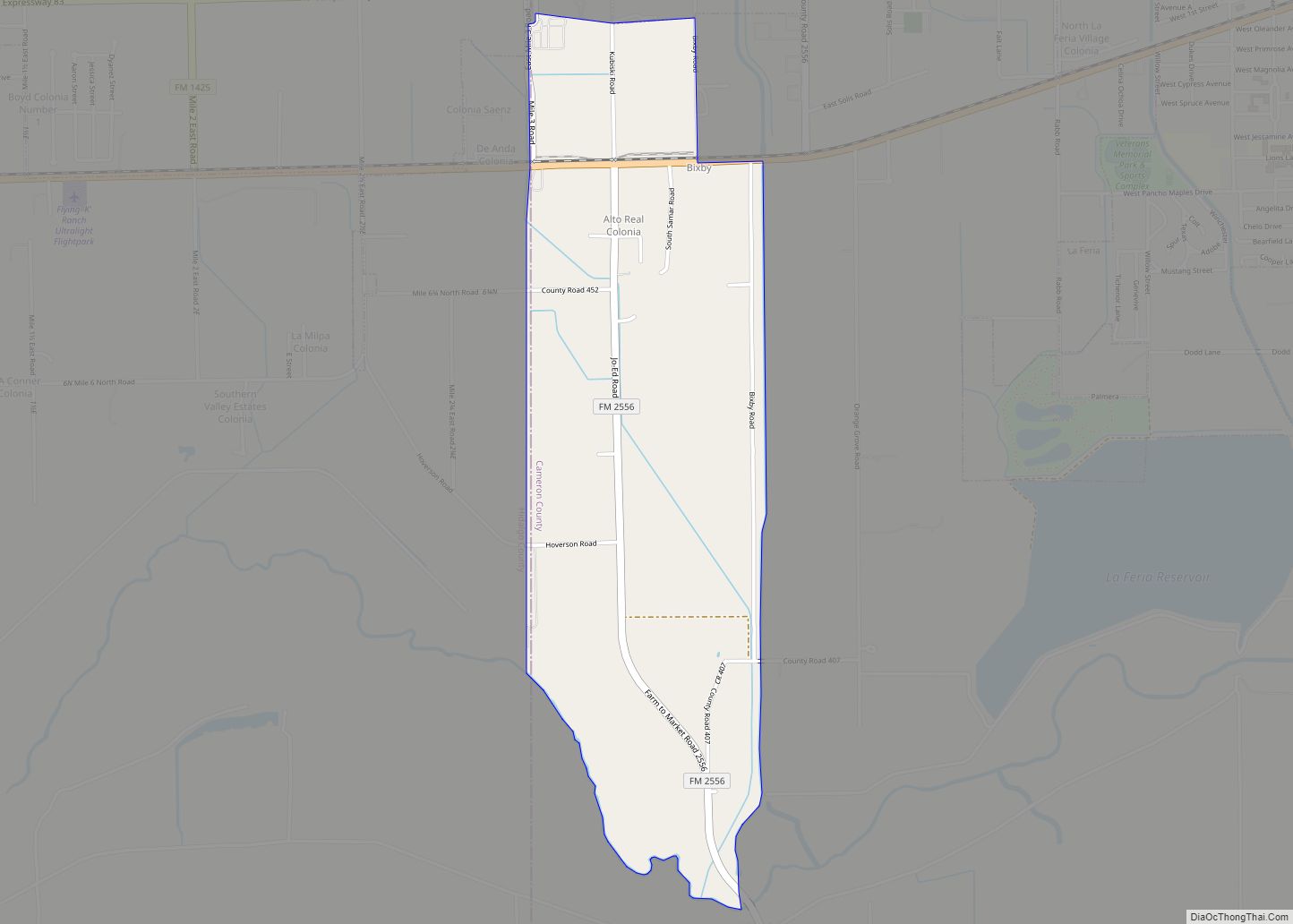
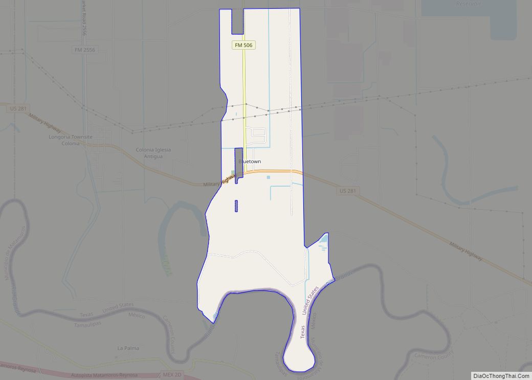
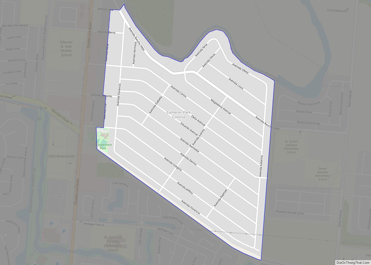
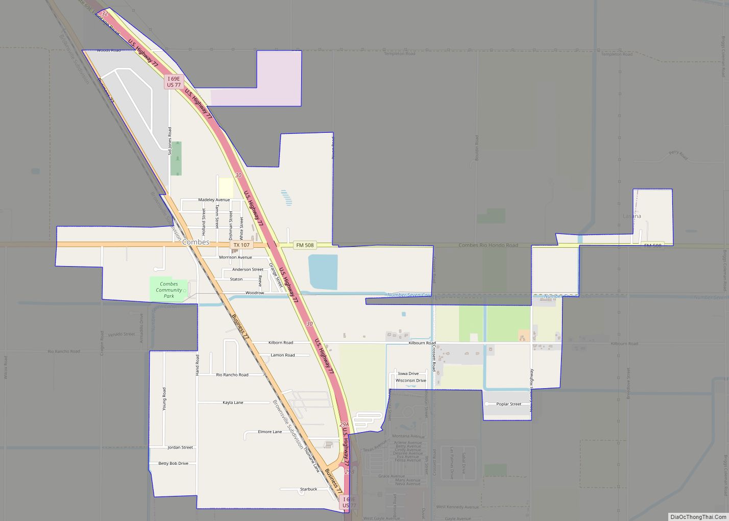
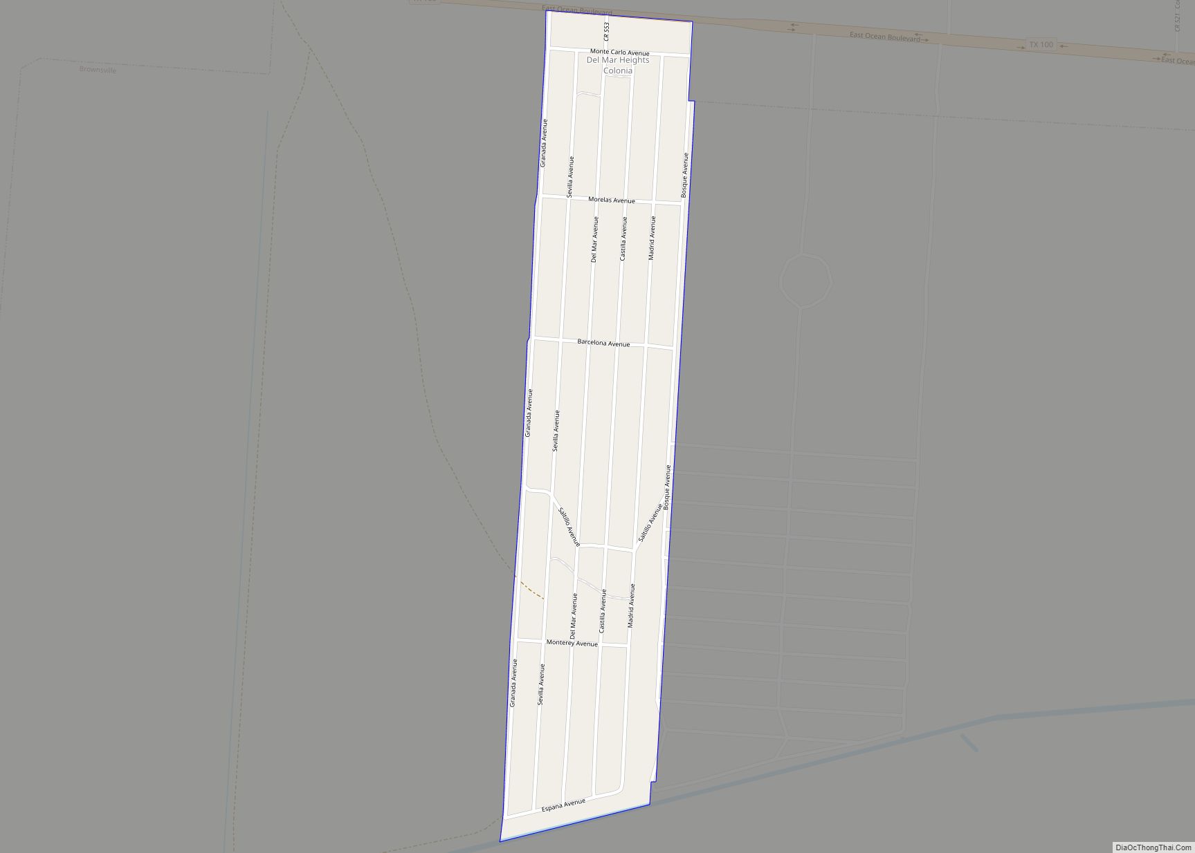
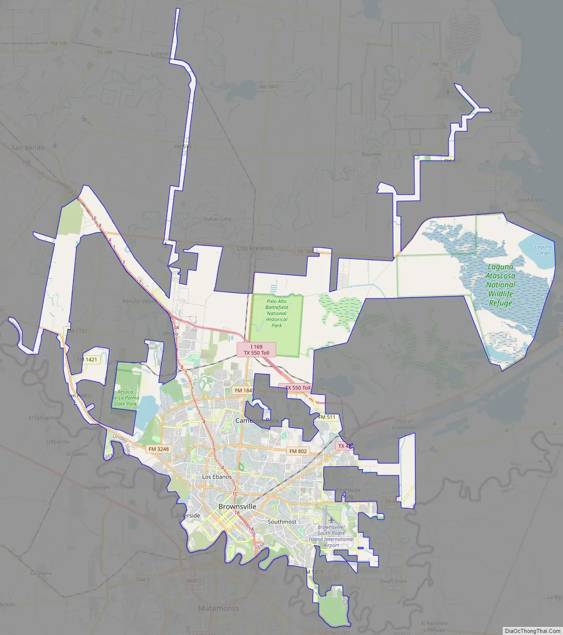
Online Interactive Map
Click on ![]() to view map in "full screen" mode.
to view map in "full screen" mode.
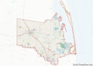
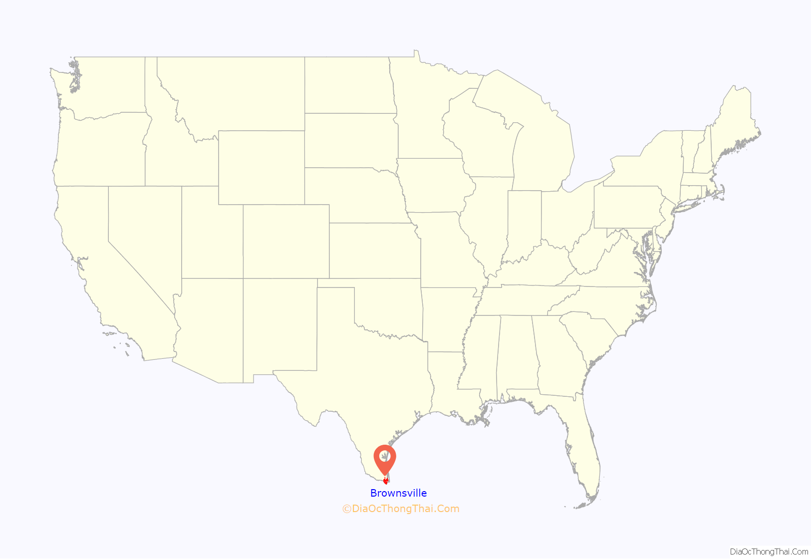
Brownsville location map. Where is Brownsville city?
History
Founding
In 1781, Spanish government officials granted José Salvador de la Garza 59 leagues of land (408 sq mi). He used the land to construct a ranch several miles northwest of the area. During the early 1800s, Brownsville was known to residents as los tejidos (English: “pasturelands”). The area was inhabited by a few settlers around 1836 when Texas declared its independence from Mexico. On February 4, 1846, President James K. Polk instructed American General Zachary Taylor and his troops to begin moving south towards Brownsville. Once Taylor arrived, he built Fort Texas. It was later renamed Fort Brown in honor of Major Jacob Brown, one of two soldiers who died during the siege of Fort Texas.
Charles Stillman arrived in Matamoros in 1828 from Connecticut to help his father in the mercantile business. Brownsville became part of Texas after the signing of the Treaty of Guadalupe Hidalgo in 1848. During that year, Stillman formed a partnership with Samuel Belden and Simon Mussina to form the Brownsville Town Company. They reportedly sold lots valued at $1,500. The city of Brownsville was originally established in late 1848 by Stillman, and was made the county seat of Cameron County on January 13, 1849. The state originally incorporated the city on January 24, 1850. This was repealed on April 1, 1852, because of a land-ownership dispute between Stillman and its former owners (including Juan Cortina, a Mexican rancher). The state reincorporated the city on February 7, 1853; this remains in effect. The issue of ownership was not decided until 1879, when the United States Supreme Court ruled in favor of Stillman.
Mexican–American War
On April 25, 1846, Captain Seth B. Thornton received reports of Mexican troops crossing the Rio Grande. Thornton and 63 U.S. dragoons moved to Rancho de Carricitos and discovered several houses in the area. Mexican General Anastasio Torrejón crossed the Rio Grande the previous day. He commanded 1,600 cavalry and infantry troops to surround Thornton’s troops in fractions. Due to heavy force from Torrejón’s troops, Thornton’s troops surrendered. Eleven American casualties were reported; 45 troops and Thornton were held as prisoners. Reports of the incident were sent to President James K. Polk, who announced, “American blood has been spilled upon the American territory”. On May 13, the United States Congress declared war against Mexico.
American General Zachary Taylor retreated from Fort Texas on May 1, 1846; Mexican General Mariano Arista began preparing artillery and troops from across the Rio Grande. On May 3, Arista and the Mexican Army began the siege of Fort Texas, during the first active campaign in the Mexican–American War. This was counteracted by the United States 7th Infantry Regiment. Despite heavy strikes, Mexican General Pedro de Ampudia outlined a traditional siege to move forward. General Zachary Taylor was notified of the incident and began moving towards Fort Texas. Mexican troops intercepted them near Palo Alto, about 5 mi (8.0 km) north of present-day Brownsville, resulting in the first battle of the war.
The following day, Mexican troops had retreated. Taylor’s troops charged up to them, resulting in the Battle of Resaca de la Palma, which took place within the present city limits. When Taylor arrived at the besieged Fort Texas, he found that two soldiers, including the fort’s commander, Major Jacob Brown, had died. Brown, who suffered an injury when a cannonball hit his leg, died three days after his injury on May 9. In his honor, General Taylor renamed the facility as Fort Brown. An old cannon at the University of Texas at Brownsville and Texas Southmost College marks the spot where Major Brown received his fatal wound.
On July 13, 1859, Juan Cortina saw Brownsville city Marshal Robert Sheers arrest and beat an elderly man who had been a ranch hand at his mother’s ranch. Cortina approached the marshal, questioning his motives, before shooting him twice after he refused to release the man. The first shot reportedly missed Sheers, but the second struck his shoulder, causing him to fall to the ground. Cortina and the elderly man rode off on a horse. The following year, Cortina returned with troops, executing four Anglo men and simultaneously releasing several Mexican prisoners. He then issued a proclamation explaining his reasons for the attack.
American Civil War
During the American Civil War, Brownsville served as a smuggling point for Confederate goods into Mexico. Most significantly, cotton was smuggled to European ships through the Mexican port of Bagdad to avoid Union blockades. The city was located at the end of the “Cotton Road”, southwest of the Cotton Belt. In November 1863, Union troops landed at Port Isabel and marched towards Brownsville to take control of Fort Brown. In the ensuing Battle of Brownsville, Confederate forces abandoned the fort, blowing it up with 8,000 lb (3,600 kg) of explosives. In 1864, Confederate forces commanded by Colonel John Salmon Ford reoccupied the town, and he became mayor of Brownsville.
Robert E. Lee and his Confederate army surrendered to Union commander Ulysses S. Grant on April 9, 1865, signing a hand-written document at the Appomattox Court House, officially ending the American Civil War. Theodore Barrett was ordered to move 500 62nd Regiment troops of colors towards Brazos Island. On May 11, Barrett’s troops moved inland towards Brownsville and spotted Confederate soldiers. John Salmon Ford received news of this and prepared to attack. On May 15, 1865, 34 days after the signing of the surrender, the Battle of Palmito Ranch took place. Confederates killed or wounded around 30 opponents and captured more than 100 other troops. This is accepted by some historians as the last battle of the American Civil War. President Grant sent Union General Frederick Steele to Brownsville to patrol the United States–Mexico border after the Civil War to aid the Juaristas with military supplies.
20th century
Texas, like other Southern states, passed a new constitution and Jim Crow laws that established racial segregation and disenfranchised African Americans at the turn of the 20th century, generally by raising barriers to voter registration. While Hispanic residents were considered white under the terms of the United States annexation of Texas, legislatures found ways to suppress their participation in politics.
On August 13 and 14, 1906, Brownsville was the site of the Brownsville affair. Racial tensions were increasing between white townsfolk and black infantrymen who were stationed at Fort Brown. On the night of August 13, one white bartender was killed, and a white police officer was wounded by rifle shots in the street. Townsfolk, including the mayor, accused the infantrymen of the murders. Without affording them a chance to defend themselves in a hearing, President Theodore Roosevelt dishonorably discharged the entire 167-member regiment due to their alleged “conspiracy of silence”. Investigations in the 1970s revealed that the soldiers were not responsible for the attacks, and the Nixon Administration reversed all dishonorable discharges. Fort Brown was decommissioned after the end of World War II in 1945. In 1948, the city and college acquired the land.
21st century
Brownsville has received significant media attention surrounding immigration policies and border-wall funding costs. In 2006, President George W. Bush signed into law the Secure Fence Act of 2006. The act administered the construction of a border fence extending from San Diego in California through the entry of the Port of Brownsville. In 2008, the United States Department of Homeland Security issued a proposal to add 70 mi (110 km) of border fence and reallocate portions of the University of Texas at Brownsville campus. The proposal would have transferred 180 acres (73 ha) of university land, including several historical monuments and the university’s golf course, to Mexico. The proposal was altered after Andrew Hanen, a federal district judge, rejected the department’s idea.
In 2016, Republican presidential candidate Donald Trump proposed building a border wall along the United States-Mexico border. Trump’s proposed wall, if passed, would consist of 2,000 mi (3,200 km) “of hardened concrete, and … rebar, and steel” across the southern border, including Brownsville. On January 25, 2017, days after assuming office, Trump issued Executive Order 13767, directing construction for a border wall. Brownsville was also the center of controversy surrounding the new administration’s continuation of the Obama policy of housing children separate from adults (except mothers) who entered the country unlawfully. The issue surrounded Casa Padre, the largest juvenile immigration detention center in America, which is located within Brownsville’s city limits.
Downtown Brownsville has received several revitalization projects from the city government to increase tourism and safety. The Texas Historical Commission named Brownsville as part of its Main Street Program in 2016. Several historic buildings were restored, including the Stegman Building, a historic building named after Baldwin G. Stegman, one of the city’s first streetcar line developers. The Environmental Protection Agency (EPA) selected Brownsville as one of six cities for their “Greening America’s Communities” program. The agency worked on a revitalization project for Market Square, a building constructed in 1850. The city also received a $3.4 million grant from the Façade Improvement Program for this project.
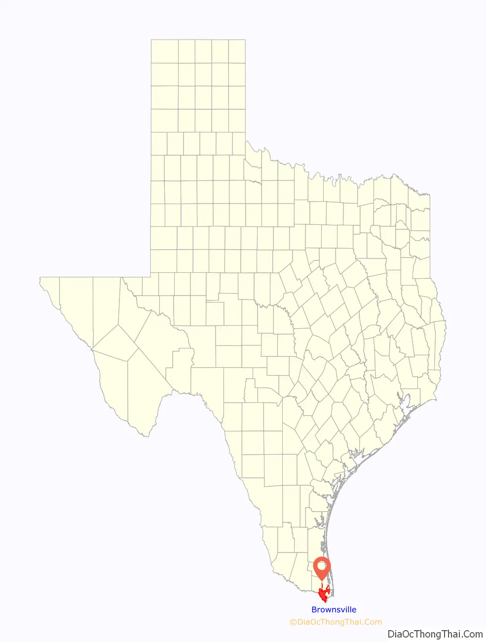
Brownsville Road Map
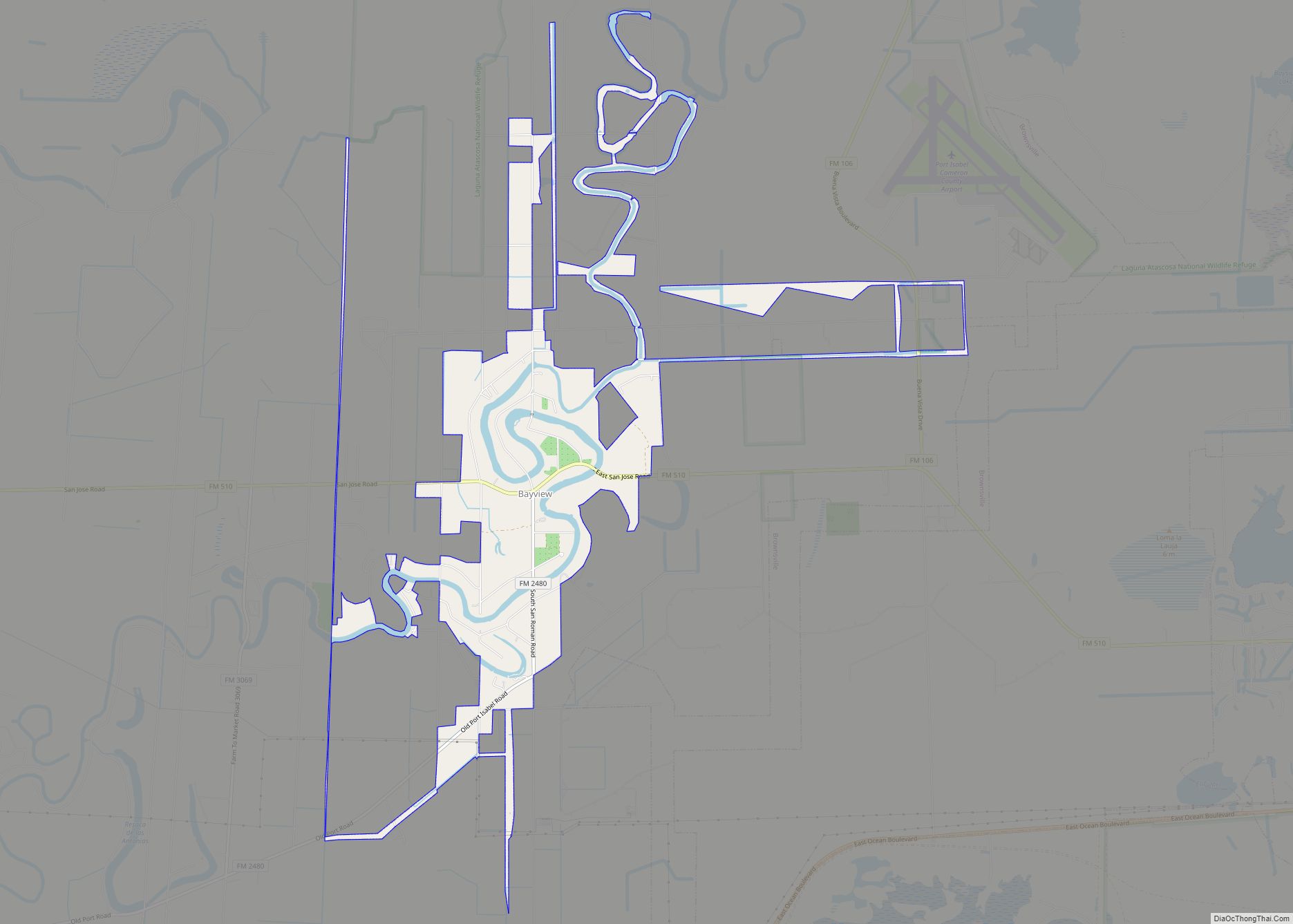
Brownsville city Satellite Map

Geography
Brownsville is one of the southernmost cities in the contiguous United States; only a handful of municipalities in Florida‘s Miami-Dade and Monroe Counties (plus Everglades City in Collier County) are located farther south than Brownsville. The city has a total area of 84.867 sq mi (220 km), of which 81.528 sq mi (211 km) are land and 3.339 sq mi (9 km) are water, according to the United States Census Bureau of 2017.
The city is situated at the intersection of different climates (subtropical, Chihuahuan Desert, Gulf Coast plain, and Great Plains); this produces high bird migration rates. Its idiosyncratic network of resacas (English: oxbow lakes), distributaries of the Rio Grande, provide habitat for numerous nesting/breeding birds of various types typically during the spring and fall migrations. Brownsville’s vegetation is classified as grassland.
Metropolitan area
Brownsville is in one metropolitan statistical area as defined by the United States Census Bureau. The Brownsville–Harlingen–Raymondville combined statistical area consists of Cameron County and Willacy County. It includes the Brownsville metropolitan area and the micropolitan area of Raymondville. The city of Raymondville is the county seat of Willacy County. The Brownsville-Harlingen-Raymondville combined statistical area is home to 445,309 people (2017 estimated), making it the 106th-largest combined statistical area in the United States. Based on the Uniform Crime Report conducted by the Federal Bureau of Investigation in 2013, the Brownsville metropolitan area ranked last on its list of the “Most Dangerous Cities” in Texas, with “240 incidents of violent crime per 100,000 people” and a murder rate of 1.4. Robbery crimes make up 25% of overall crime in the city, with a rate of 58.1 per 100,000 residents.
Flora and soil
Broadleaf evergreen plants, including palms, dominate Brownsville neighborhoods to a greater degree than other locations in Texas, including nearby cities such as Harlingen and McAllen. Brownsville is home to the Sabal mexicana, the only species of palmetto palm native to Texas with a significant trunk (Sabal minor, also native to Texas, is nearly trunkless. Though it used to cover a large portion of the land next to the Rio Grande, the city contains one of the last native stands of S. mexicana. Citharexylum berlandieri (Tamaulipan fiddlewood), Rivina humilis (pigeonberry), and Leucophyllum frutescens (Texas sage) are also native flora.
Soils are mostly of clay to silty clay loam texture, moderately alkaline (pH 8.2) to strongly alkaline (pH 8.5 and with a significant degree of salinity in many places; other types of soils present around the city include Cameron clay and sporadic amounts of Laredo silt loam. Due to Brownsville’s proximity to the coast, Lomalta clay is common around the swamp areas of the vicinity. Several parts of the city have a high risk of localized flooding because of flat topography, ubiquitous low-permeability clay soils, and inadequate infrastructure funding.
According to the United States Geological Survey, Brownsville’s soils are primarily alluvium and windblown deposits. The majority of the city’s soil is made of floodplain deposits from the Rio Grande; it consists of clay, sand, silt, gravel, and organic matter. Windblown deposits are made up of “active dunes and dune complexes” that contain mostly clay and silt near the coastal region and combination of clay, sand, and silt inland.
Climate
Brownsville has a humid subtropical climate (Köppen Cfa). Winters are warm, and summers are hot and humid. Due to its location on the Gulf Coast about 2.49° north of the Tropic of Cancer, the climate closely borders a tropical savanna climate. Due to its proximity to the deserts of Chihuahua and Gulf Coastal Plains, Brownsville’s geographic location lies near the boundary of a hot semi-arid climate. Snow is a very rare event in Brownsville. Its wet season is concentrated during the late summer and early fall, peaking in September, when the threat from tropical cyclones is greatest. In most years, November through April is the dry season. As such, Brownsville receives modest annual rainfall, averaging about 26.78 in (680 mm) annually based on records between 1991 and 2020.
The monthly daily average temperature ranges from 62.9 °F (17.2 °C) in January to 87 °F (30.6 °C) in August. Heat waves during the summer have caused 141 days of high temperatures over 90 °F (32.2 °C) and fewer than five days of temperatures above 100 °F (37.8 °C). The city is located along the boundary of USDA hardiness zones 9b and 10a. The hottest temperature on record in Brownsville occurred on March 27, 1984, when the city reached 106 °F (41 °C). On the other extreme, freezing temperatures occur once or twice a year typically. On December 25, 2004, Brownsville recorded its first instance of measurable snow in 109 years with 1.5 in (3.8 cm), and the first recorded White Christmas. Brownsville’s lowest temperature on record occurred on February 13, 1899, when the city reached 12 °F (−11 °C). Based on 30-year averages obtained from the National Oceanic and Atmospheric Administration’s National Climatic Data Center weather records, 24/7 Wall St. ranked Brownsville the fifth-hottest city in America in 2016.
In 2011, Brownsville became one of the first cities in the United States to require stores to charge a fee for single-use plastic shopping bags. The ordinance was enacted to reduce pollution and litter around the city. The city repealed the ordinance in 2018 after it was ruled illegal by the Supreme Court of Texas. Forbes identified Brownsville as one of 12 metropolitan areas in the United States with the cleanest air. In 2018, the Brownsville–Harlingen area was among the “Cleanest U.S. Cities for Ozone Air Pollution” in the American Lung Association’s “State of the Air” in 2018.
See also
Map of Texas State and its subdivision:- Anderson
- Andrews
- Angelina
- Aransas
- Archer
- Armstrong
- Atascosa
- Austin
- Bailey
- Bandera
- Bastrop
- Baylor
- Bee
- Bell
- Bexar
- Blanco
- Borden
- Bosque
- Bowie
- Brazoria
- Brazos
- Brewster
- Briscoe
- Brooks
- Brown
- Burleson
- Burnet
- Caldwell
- Calhoun
- Callahan
- Cameron
- Camp
- Carson
- Cass
- Castro
- Chambers
- Cherokee
- Childress
- Clay
- Cochran
- Coke
- Coleman
- Collin
- Collingsworth
- Colorado
- Comal
- Comanche
- Concho
- Cooke
- Coryell
- Cottle
- Crane
- Crockett
- Crosby
- Culberson
- Dallam
- Dallas
- Dawson
- Deaf Smith
- Delta
- Denton
- Dewitt
- Dickens
- Dimmit
- Donley
- Duval
- Eastland
- Ector
- Edwards
- El Paso
- Ellis
- Erath
- Falls
- Fannin
- Fayette
- Fisher
- Floyd
- Foard
- Fort Bend
- Franklin
- Freestone
- Frio
- Gaines
- Galveston
- Garza
- Gillespie
- Glasscock
- Goliad
- Gonzales
- Gray
- Grayson
- Gregg
- Grimes
- Guadalupe
- Hale
- Hall
- Hamilton
- Hansford
- Hardeman
- Hardin
- Harris
- Harrison
- Hartley
- Haskell
- Hays
- Hemphill
- Henderson
- Hidalgo
- Hill
- Hockley
- Hood
- Hopkins
- Houston
- Howard
- Hudspeth
- Hunt
- Hutchinson
- Irion
- Jack
- Jackson
- Jasper
- Jeff Davis
- Jefferson
- Jim Hogg
- Jim Wells
- Johnson
- Jones
- Karnes
- Kaufman
- Kendall
- Kenedy
- Kent
- Kerr
- Kimble
- King
- Kinney
- Kleberg
- Knox
- La Salle
- Lamar
- Lamb
- Lampasas
- Lavaca
- Lee
- Leon
- Liberty
- Limestone
- Lipscomb
- Live Oak
- Llano
- Loving
- Lubbock
- Lynn
- Madison
- Marion
- Martin
- Mason
- Matagorda
- Maverick
- McCulloch
- McLennan
- McMullen
- Medina
- Menard
- Midland
- Milam
- Mills
- Mitchell
- Montague
- Montgomery
- Moore
- Morris
- Motley
- Nacogdoches
- Navarro
- Newton
- Nolan
- Nueces
- Ochiltree
- Oldham
- Orange
- Palo Pinto
- Panola
- Parker
- Parmer
- Pecos
- Polk
- Potter
- Presidio
- Rains
- Randall
- Reagan
- Real
- Red River
- Reeves
- Refugio
- Roberts
- Robertson
- Rockwall
- Runnels
- Rusk
- Sabine
- San Augustine
- San Jacinto
- San Patricio
- San Saba
- Schleicher
- Scurry
- Shackelford
- Shelby
- Sherman
- Smith
- Somervell
- Starr
- Stephens
- Sterling
- Stonewall
- Sutton
- Swisher
- Tarrant
- Taylor
- Terrell
- Terry
- Throckmorton
- Titus
- Tom Green
- Travis
- Trinity
- Tyler
- Upshur
- Upton
- Uvalde
- Val Verde
- Van Zandt
- Victoria
- Walker
- Waller
- Ward
- Washington
- Webb
- Wharton
- Wheeler
- Wichita
- Wilbarger
- Willacy
- Williamson
- Wilson
- Winkler
- Wise
- Wood
- Yoakum
- Young
- Zapata
- Zavala
- Alabama
- Alaska
- Arizona
- Arkansas
- California
- Colorado
- Connecticut
- Delaware
- District of Columbia
- Florida
- Georgia
- Hawaii
- Idaho
- Illinois
- Indiana
- Iowa
- Kansas
- Kentucky
- Louisiana
- Maine
- Maryland
- Massachusetts
- Michigan
- Minnesota
- Mississippi
- Missouri
- Montana
- Nebraska
- Nevada
- New Hampshire
- New Jersey
- New Mexico
- New York
- North Carolina
- North Dakota
- Ohio
- Oklahoma
- Oregon
- Pennsylvania
- Rhode Island
- South Carolina
- South Dakota
- Tennessee
- Texas
- Utah
- Vermont
- Virginia
- Washington
- West Virginia
- Wisconsin
- Wyoming