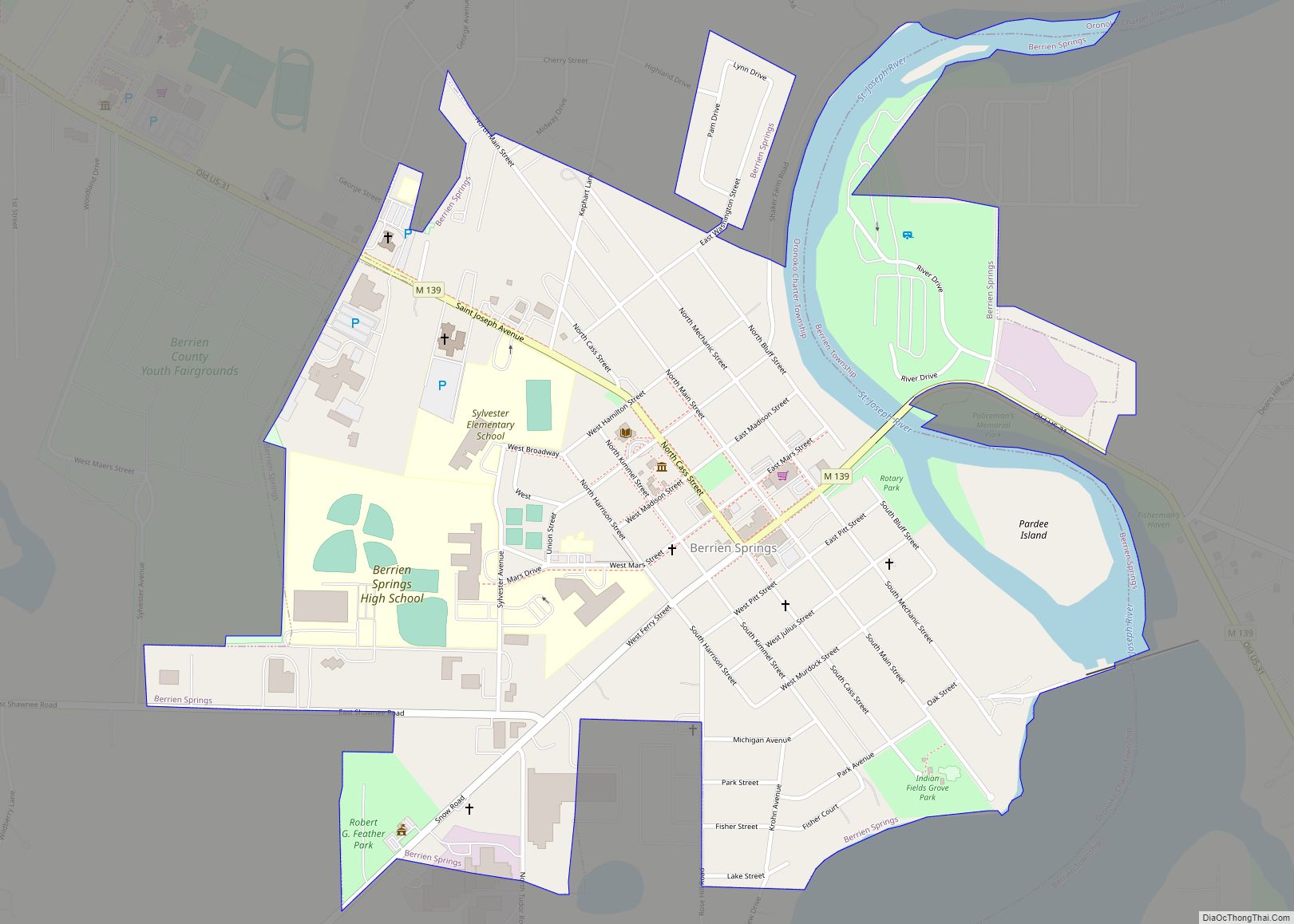
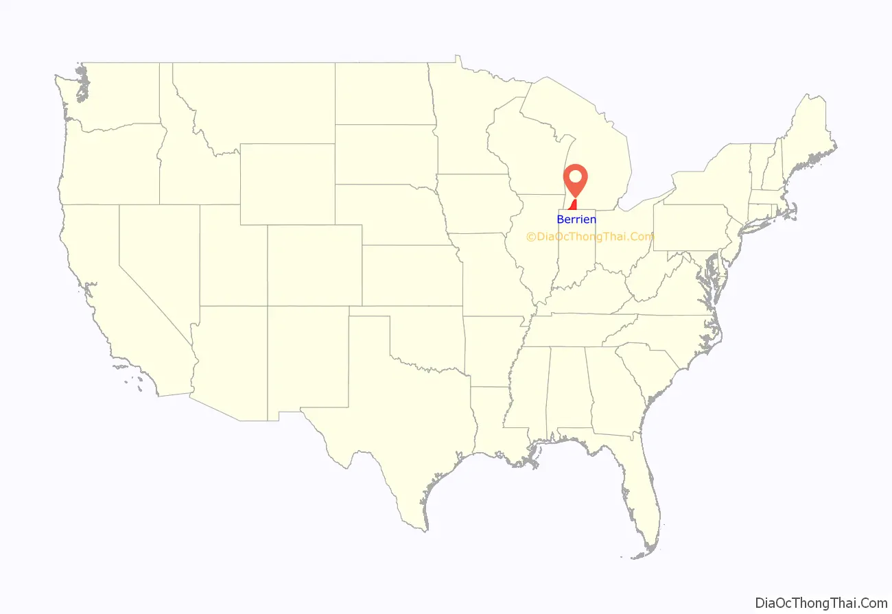
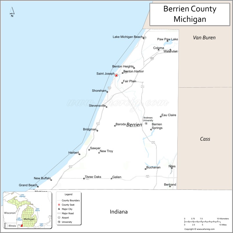
Berrien County is a county on the south line of Michigan, at the southwestern corner of the state. As of the 2020 Census, the population was 154,316. The county seat is St. Joseph.
Berrien County is included in the Niles–Benton Harbor, MI Metropolitan Statistical Area, which is also included in the South Bend–Elkhart–Mishawaka, IN-MI Combined Statistical Area.
| Name: | Berrien County |
|---|---|
| FIPS code: | 26-021 |
| State: | Michigan |
| Founded: | 1829 |
| Named for: | John M. Berrien |
| Seat: | St. Joseph |
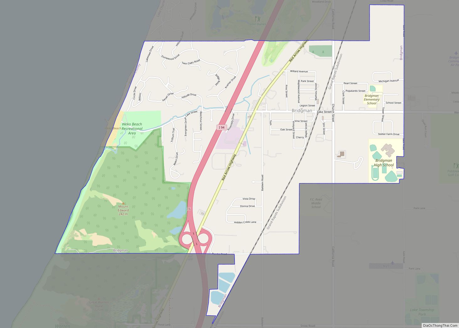
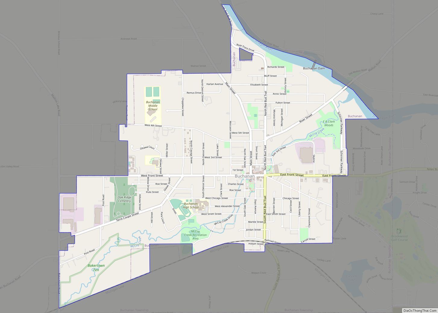
| Largest city: | Niles |
| Total Area: | 1,581 sq mi (4,090 km²) |
| Land Area: | 568 sq mi (1,470 km²) |
| Total Population: | 154,316 |
| Population Density: | 272/sq mi (105/km²) |
| Time zone: | UTC−5 (Eastern) |
| Summer Time Zone (DST): | UTC−4 (EDT) |
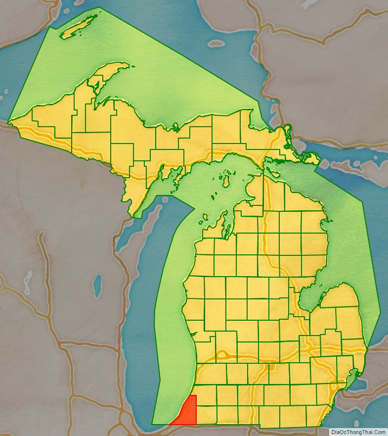
Berrien County location map. Where is Berrien County?
History
As one of the Cabinet counties, Berrien County was named for John M. Berrien of Georgia, US Attorney General (1829–1831) under US President Andrew Jackson. The county was founded in 1829, and was organized in 1831, before Michigan was accepted into the Union as a state.
When Michigan Territory was established in 1805, the area of present Berrien County was included in the boundary of Wayne County.
About 1780, New Jersey resident William Burnett established a trading post at the mouth of the St. Joseph River (present-day site of St. Joseph) to serve indigenous peoples and French Canadian residents. Also during that time, Joseph Bertrand established a trading post on the river, in present–day Niles Charter Township. In December 1822, missionary Isaac McCoy moved his family and 18 Indian students from Indiana to the St. Joseph River near present-day Niles, Michigan, to open a religious mission (the Carey Mission) to the Potawatomi Indians, 160 km from the nearest White settlement.
In 1827 St. Joseph Township was organized as part of Wayne County, It included all lands acquired from the Native Americans by the 1821 Treaty of Chicago.
The boundary of Berrien County was delineated by the Michigan Territory Legislature on October 29, 1829, with its present limits. For purposes of revenue, taxation and judicial matters, it was attached to Cass County, and was designated as Niles Township. This assignation was terminated in 1831 when Berrien County’s government was organized and initiated.
Berrien County began with three townships:
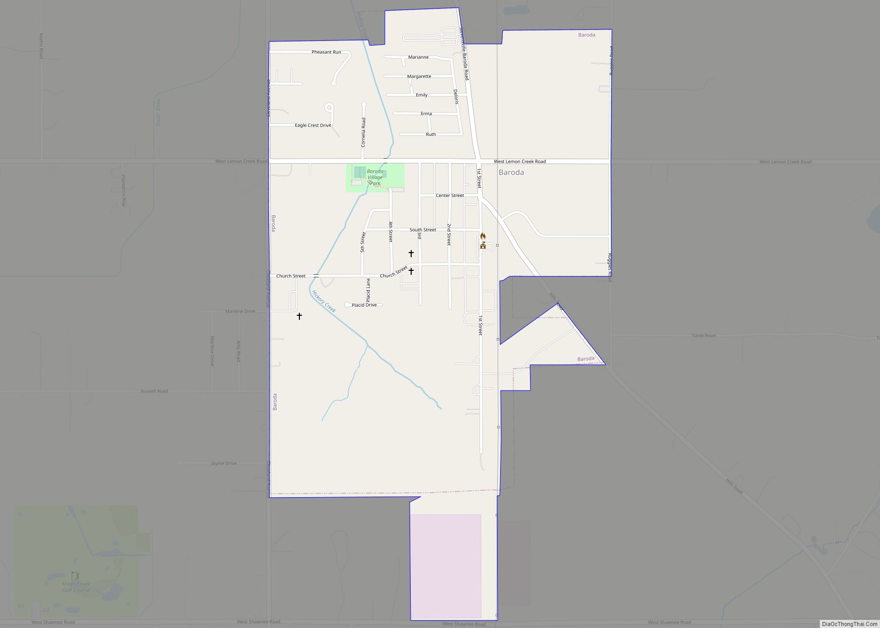
- Berrien Township – consisted of present-day townships of Berrien, Oronoko, Baroda and Lake plus a two-mile strip north of that territory
- St. Joseph Township – consisted of the area north of Berrien Township
- Niles Township – consisted of the area south of Berrien Township.
In recent times, Berrien County, especially the coastal cities of New Buffalo and Lakeside, has received notice as a vacation destination for Chicago area residents and other Midwesterners. It has earned multiple nicknames in this capacity, including “Harbor Country” and “the Hamptons of the Midwest”, with the latter recognized by the Wall Street Journal.
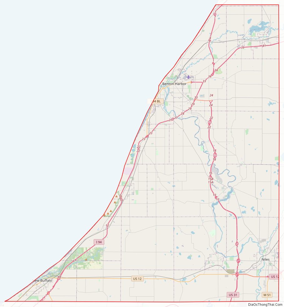
Berrien County Road Map
Geography
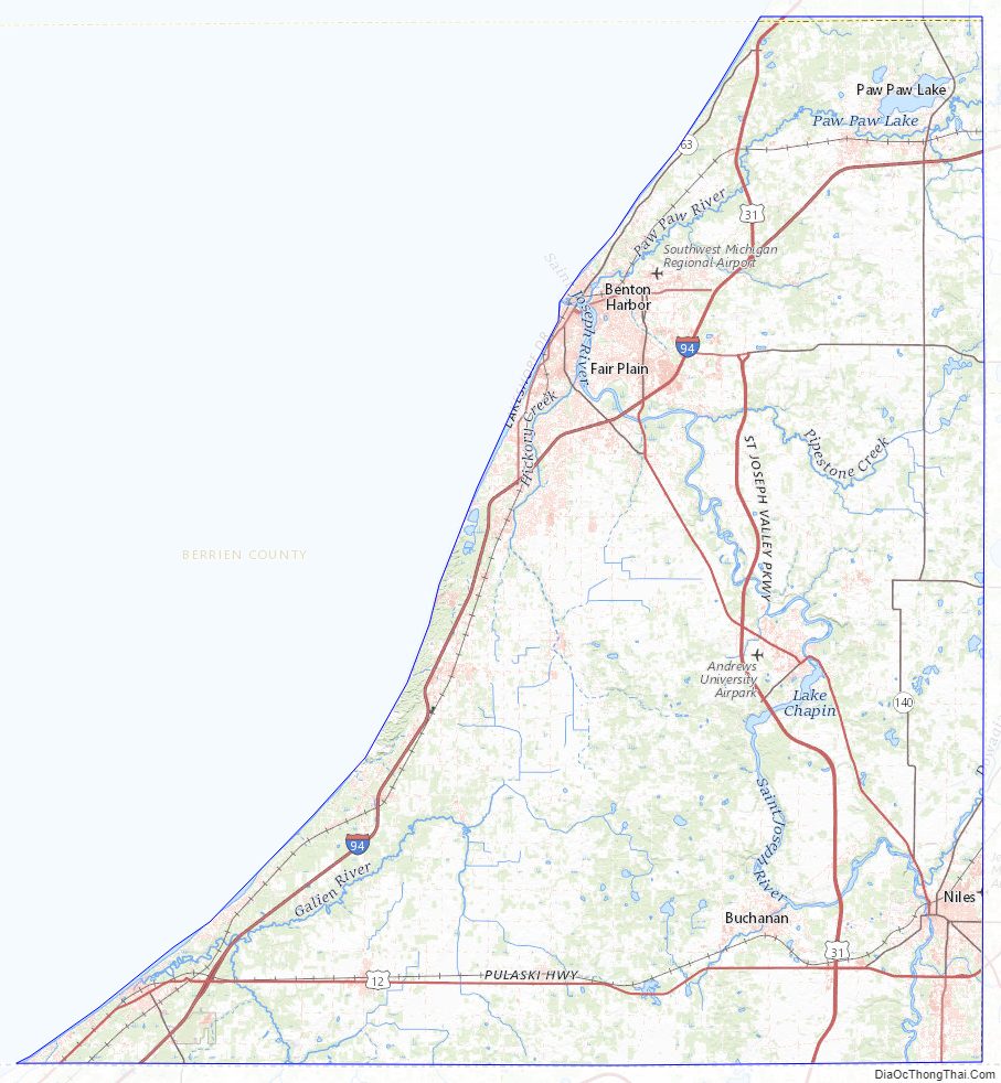
According to the US Census Bureau, the county has a total area of 1,581 square miles (4,090 km), of which 568 square miles (1,470 km) is land and 1,014 square miles (2,630 km) (64%) is water.
The county borders the state of Indiana to the South and includes a portion of Lake Michigan to the West.
The St. Joseph River is a major geographical feature, flowing mostly north and west through the county from Niles to its mouth on Lake Michigan at St. Joseph. The southwest of the county is drained by the Galien River and its tributaries. Paw Paw Lake is in the north of the county, along with the Paw Paw River, which flows into the St. Joseph River just before it enters Lake Michigan. A tiny portion along the Indiana state line is drained by small tributaries of the Kankakee River, which ultimately flows into the Mississippi River. This is one of two areas of Michigan drained by the Mississippi River, the other being an area of Michigan’s Upper Peninsula near the Wisconsin border.
Major highways
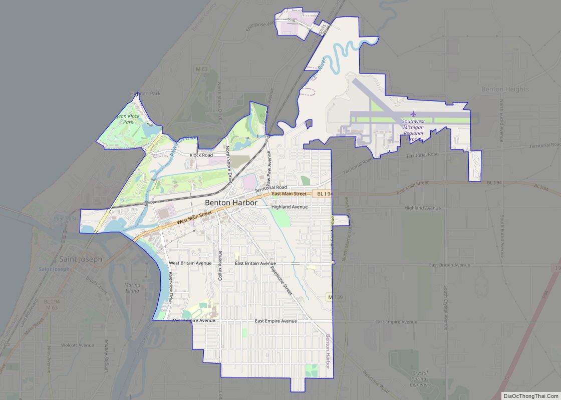
- I-94 – runs north along the western edge of the county near Lake Michigan. Turns inland to skirt the St. Joseph/Benton Harbor urban area. Runs east to Kalamazoo. Business Loop 94 passes through downtown Benton Harbor and St. Joseph.
- BL I-94 – runs through St. Joseph and Benton Harbor.
- I-196 – from its intersection with I-94 east of Benton Harbor, runs north to Holland, then east to Grand Rapids.
- US 12 – runs east–west through the southern portion of the county from south of Niles through Three Oaks to New Buffalo and Michiana, Michigan. From Berrien County it connects with Michigan City, Indiana.
- US 31 – running north from South Bend, Indiana, enters the southeast county as the St. Joseph Valley Parkway, near Niles, and continues north and west. A segment of the freeway was completed in August 2003, running from Berrien Springs north to Napier Avenue east of Benton Harbor. US 31 follows Napier Avenue west to I-94 before branching off with I-196. A final segment is planned to continue the freeway from Napier Avenue north to the junction with I-94 and BL I-94 with a full cloverleaf interchange. The former route of US 31 between Berrien Springs and St. Joseph was redesignated as M-139.
- M-51 – enters from Indiana as a continuation of State Road 933. Runs north through Niles, then northeast toward Dowagiac, Michigan.
- M-60 – runs east from Niles to I-94 at Jackson.
- M-62 – from its intersection with M-140, runs east toward Dowagiac, Michigan.
- M-63 – from its intersection with M-139 (formerly US 31) in Scottdale, runs northwest into St. Joseph, then northeast to intersection with US 31/I-196 near the county line.
- M-139 – from its intersection with US 12 southwest of Niles, runs northeasterly into downtown Niles, then follows the former route of US 31 US 33 northwesterly through Berrien Springs to Scottdale, then north near St. Joseph and Benton Harbor to an intersection with Business Loop I-94.
- M-140 – from Niles, runs north through the eastern part of the county toward South Haven, Michigan.
- M-239 – its 1.1 miles (1.8 km) length links I-94 at Exit 1 near New Buffalo to State Road 39 north of LaPorte, Indiana.
- A-2 – Berrien County’s only signed county highway. Begins in Hagar Shores at M-63 and I-196. It follows the Lake Michigan shoreline and continues to South Haven, Michigan.
Adjacent counties
By land
- Van Buren County – north and northeast
- Cass County – east
- St. Joseph County, Indiana – southeast
- LaPorte County, Indiana – south
By water
- Porter County, Indiana – southwest
- Cook County, Illinois – west
- Lake County, Illinois – northwest
Berrien County Topographic Map
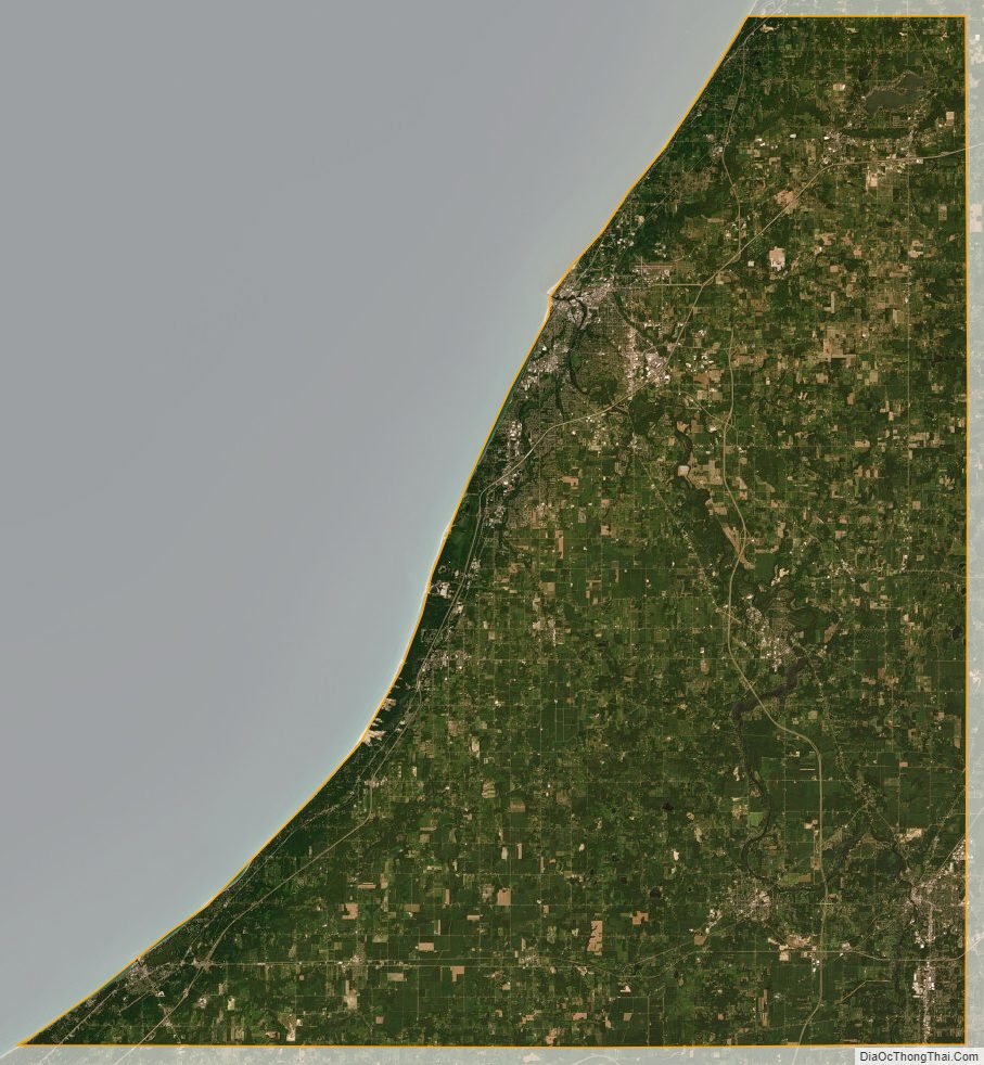
Berrien County Satellite Map
Berrien County Outline Map