Warren County is a county in the U.S. state of New York. As of the 2020 census, the population was 65,737. The county seat is Queensbury. The county was established in 1813 and is named in honor of General Joseph Warren, an American Revolutionary War hero of the Battle of Bunker Hill.
Warren County is part of the Glens Falls, NY Metropolitan Statistical Area, which is also included in the Albany–Schenectady, NY Combined Statistical Area.
| Name: | Warren County |
|---|---|
| FIPS code: | 36-113 |
| State: | New York |
| Founded: | 1813 |
| Named for: | Joseph Warren |
| Seat: | Queensbury |
| Largest city: | Glens Falls |
| Total Area: | 932 sq mi (2,410 km²) |
| Land Area: | 867 sq mi (2,250 km²) |
| Total Population: | 65,737 |
| Population Density: | 75.8/sq mi (29.3/km²) |
| Time zone: | UTC−5 (Eastern) |
| Summer Time Zone (DST): | UTC−4 (EDT) |
| Website: | warrencountyny.gov |
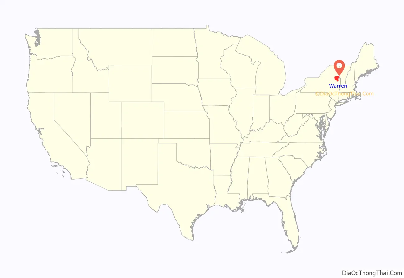
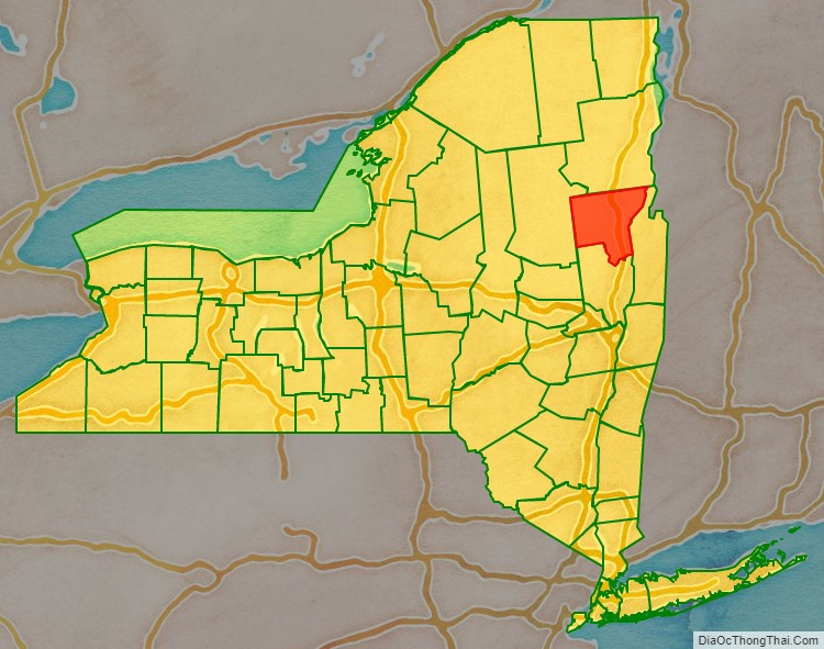
Warren County location map. Where is Warren County?
History
When counties were established in the Province of New York in 1683, the present Warren County was part of Albany County. The county was enormous, covering the northern part of New York State, all of the present State of Vermont, and, in theory, extended westward to the Pacific Ocean. It was reduced in size on July 3, 1766, by the creation of Cumberland County, and further on March 16, 1770, by the creation of Gloucester County, both containing territory now in Vermont. On March 12, 1772, what was left of Albany County was split into three parts, one remaining under the name Albany County. One of the other pieces, Charlotte County (named for the British queen Charlotte of Mecklenburg-Strelitz), contained the eastern portion.
In 1778, the name Charlotte County was changed to Washington County to honor George Washington, the American Revolutionary War general and later President of the United States of America.
In 1788, Washington County was reduced in size by the splitting-off of Clinton County. This was a much larger area than the present Clinton County, including several other counties or county parts of the present New York State. Washington County was slightly enlarged by the transfer of the Town of Cambridge from Albany County to Washington County in 1791.
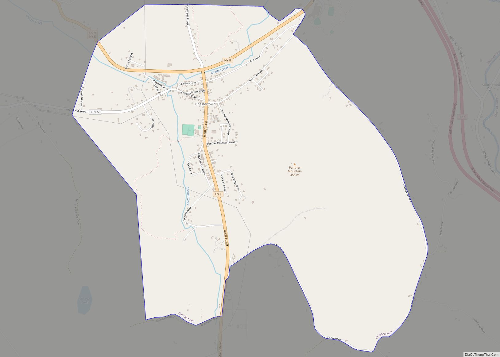
In 1813, Warren County was split off from Washington County, receiving its name in honor of General Joseph Warren. County officials first met in the Lake George Coffee House in the hamlet of Caldwell (known today as Lake George Village). James Caldwell, a patenee of the Town of Caldwell, donated land within the hamlet to serve as the county seat beginning in 1819.
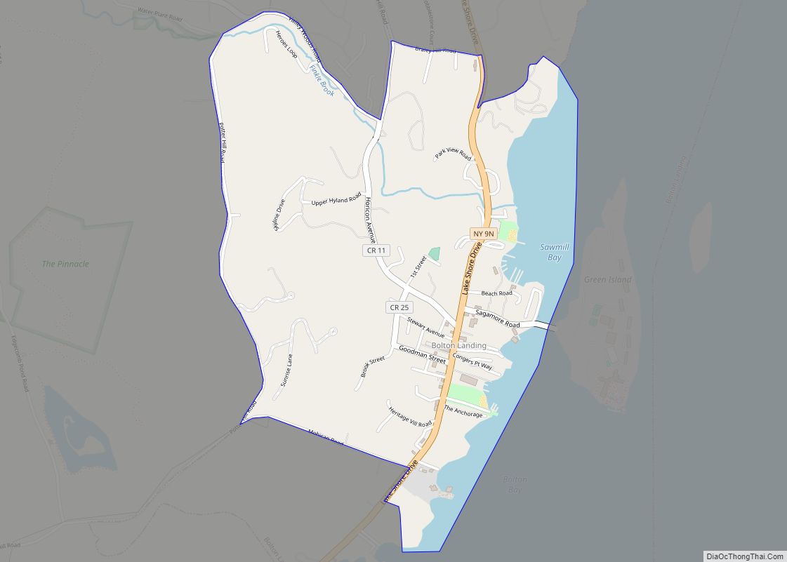
Lake George is the site of a YMCA conference center, the Silver Bay YMCA, founded in 1900 and one of only a few of its type in the United States . The Silver Bay Inn was built in 1904 and is on the National Register of Historic Places.
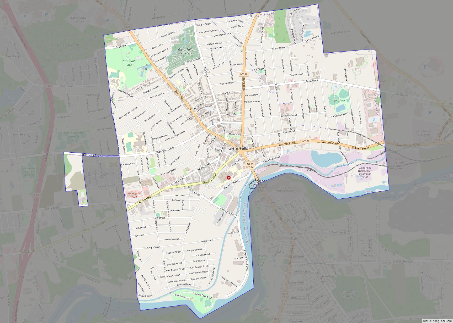
In 1963, the courthouse in Lake George village was closed and operations moved several miles south to its present-day location at the Warren County Municipal Center main campus in Queensbury.
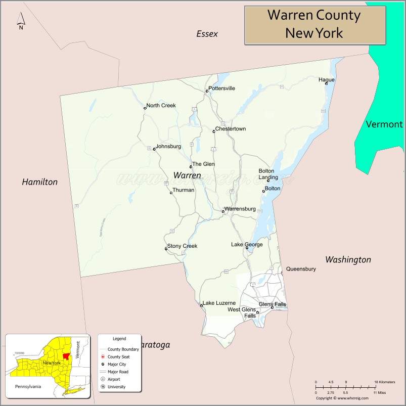
Warren County Road Map
Geography
According to the U.S. Census Bureau, the county has a total area of 932 square miles (2,410 km), of which 867 square miles (2,250 km) is land and 65 square miles (170 km) (6.9%) is water.
Warren County is situated in the eastern portion of New York State in the Adirondack Mountains. The eastern border is Washington County. The highest peak in the county is Gore Mountain at an elevation of 3,198 feet (975 m). It is typically included as the northern part of the Capital District although it is sometimes included as part of the North Country.
Adjacent counties
- Essex County – north
- Washington County – east
- Saratoga County – south
- Hamilton County – west
Climate
The climate of Warren County is humid continental, as is most of New York State. In the winter, bouts of cold, dry air arrive from Canada, and interior sections of North America. In the summer, the Gulf Stream can bring days of hot, moist, humid air to the county. Extratropical storms often affect the county; in the winter, Nor’easters bring heavy snow and rain, and sometimes high wind. Fall and spring are generally relatively mild and pleasant, with fall foliage regarded as some of the most stunning in the country. In the summer and fall, back door cold fronts move in from the north and bring thunderstorms, sometimes severe.
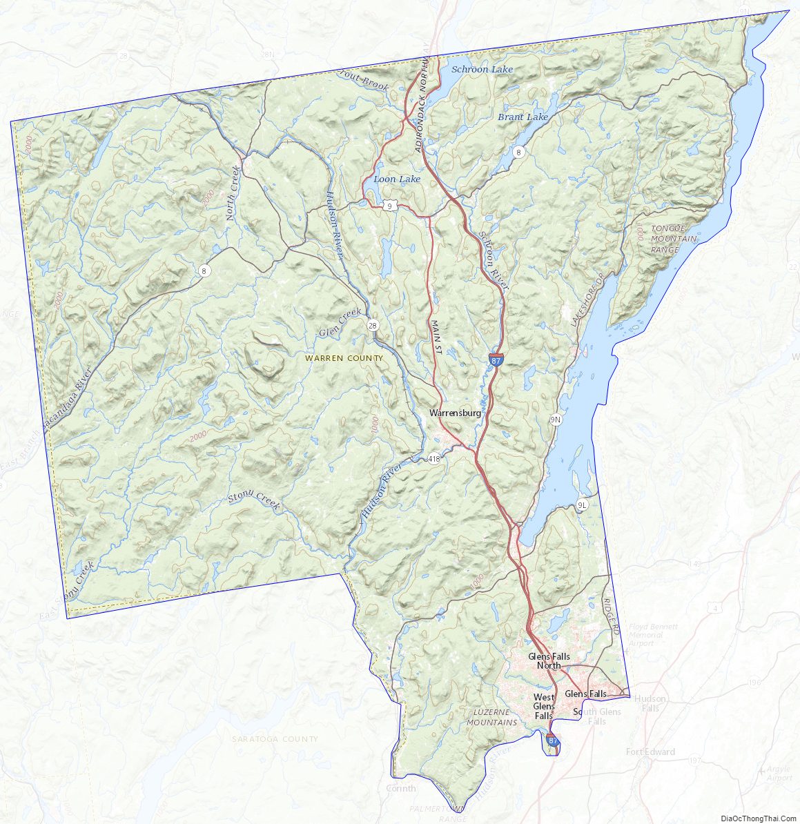
Warren County Topographic Map
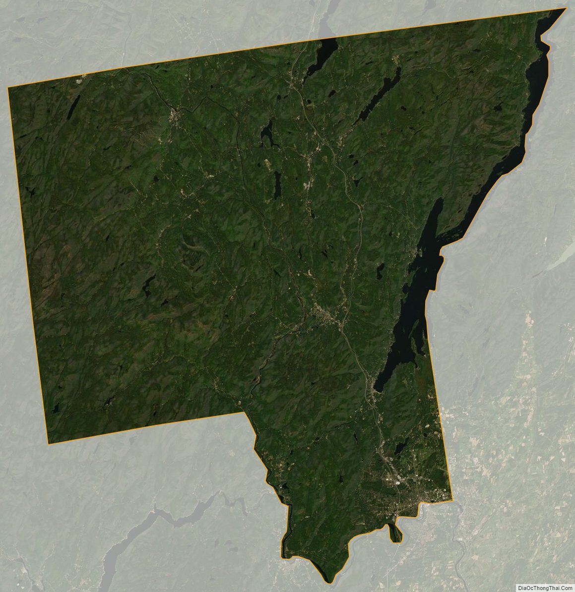
Warren County Satellite Map
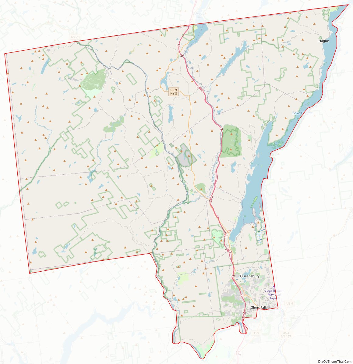
Warren County Outline Map