Revere is a city in Suffolk County, Massachusetts, located approximately 5 miles (8.0 km) from downtown Boston. Founded as North Chelsea in 1846, it was renamed in 1871 after Revolutionary War patriot Paul Revere. In 1914, the Town of Revere was incorporated as a city. At the 2020 census, the city had a population of 62,186 inhabitants.
| Name: | Revere city |
|---|---|
| LSAD Code: | 25 |
| LSAD Description: | city (suffix) |
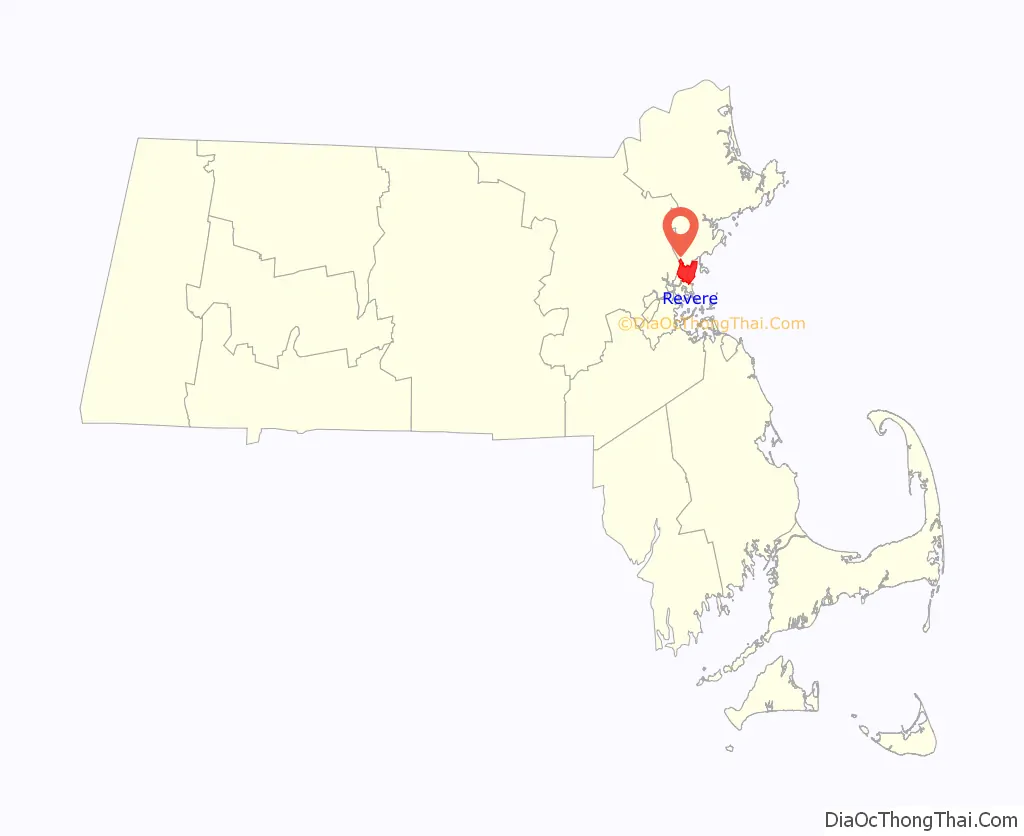
| State: | Massachusetts |
| County: | Suffolk County |
| Incorporated: | March 19, 1846 |
| Elevation: | 20 ft (6 m) |
| Total Area: | 10.13 sq mi (26.24 km²) |
| Land Area: | 5.70 sq mi (14.77 km²) |
| Water Area: | 4.43 sq mi (11.47 km²) |
| Total Population: | 62,186 |
| Population Density: | 10,902.17/sq mi (4,209.46/km²) |
| ZIP code: | 02151 |
| Area code: | 339 / 781 |
| FIPS code: | 2556585 |
| GNISfeature ID: | 0612810 |
| Website: | www.revere.org |
Online Interactive Map
Click on ![]() to view map in "full screen" mode.
to view map in "full screen" mode.
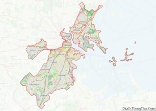
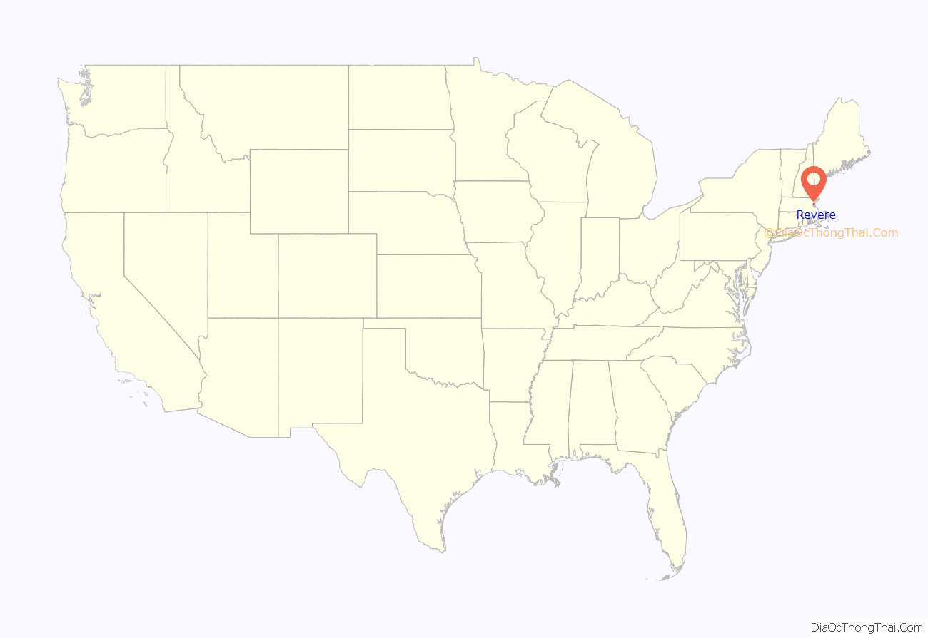
Revere location map. Where is Revere city?
History
Revere’s first inhabitants were Native Americans who belonged to the Pawtucket tribe and were known to colonists as the Rumney Marsh Indians.
The Rumney Marsh was named by the English after Romney Marsh in Kent, England. Nanepashemet, known to colonists as “Sagamore George,” was the leader, or Great Sachem of the Pawtucket Confederation of Abenaki People of Lynn (which at that time included present day Revere). Nanepashemet is thought to have sometimes lived near the Rumney Marsh. One branch of his family took “Rumney Marsh” as their surname.
In 1616, an epidemic, probably smallpox, swept the region, killing thousands in its wake. Nanepashemet retired to the Mystic River, in what is now Medford, but was found murdered in 1619 at his fort on the brow of Rock Hill overlooking the river. Three sons succeeded him in his reign. One of them, Wonohaquaham, also called “Sagamore John,” had jurisdiction over the Native Americans at Winnisemmit (later Chelsea) and Rumney Marsh.
In 1624, Samuel Maverick became the first colonist to settle in the area. He built his house at the site of the former Chelsea Naval Hospital (or Admiral’s Hill). On June 17, 1630, John Winthrop, the first Governor of the Massachusetts Bay Company in New England joined him there for dinner.
On September 25, 1634, Rumney Marsh was annexed to Boston, which had received its name only four years earlier. Winnisemmet (current Chelsea) and Pullen Point (current Winthrop) were also annexed to Boston.
Rumney Marsh was originally divided and allotted to twenty-one of Boston’s most prominent citizens. By 1639, the original allotments had been consolidated into seven great farms. Farming was the principal industry of Winnisemmet, and Rumney Marsh in particular.
The first county road in North America stretched across Rumney Marsh from the Winnisemmet Ferry to Olde Salem in 1641.
During King Philip’s War (also known as Metacomet’s War), which lasted from 1675 to 1678, the local Native Americans were forcibly removed to what is now Deer Island, where half of those imprisoned died of starvation or exposure. Some were enlisted to help the colonists defeat other native tribes.
In 1739, Rumney Marsh, Winnisemmet and Pullen Point were set off from Boston and established as the Town of Chelsea. The largest of the three settlements, Rumney Marsh (later to become North Chelsea) was selected as the Town Center.
In 1775, the area played a role in the American Revolution as Rumney Marsh was the site of the first naval battle.
In 1846, the town of North Chelsea was established. In 1852, Pullen Point seceded from North Chelsea and was established as the town of Winthrop. That same year, Chelsea became its own city. On March 24, 1871, a petition went into effect, changing the name of North Chelsea to the Town of Revere in honor of Paul Revere (1735–1818), the son of an immigrant who took part in the American Revolutionary War. Revere had gained popularity after the publication of Henry Wadsworth Longfellow’s 1860 poem “Paul Revere’s Ride”.
In 1914, the Town of Revere became the City of Revere.
21st century
On the morning of July 28, 2014, an EF2 tornado touched down in nearby Chelsea and intensified as it entered the city of Revere, causing major damage to many buildings, including the Revere City Hall. It was the first tornado to hit Suffolk County since the National Weather Service began keeping records in 1950.
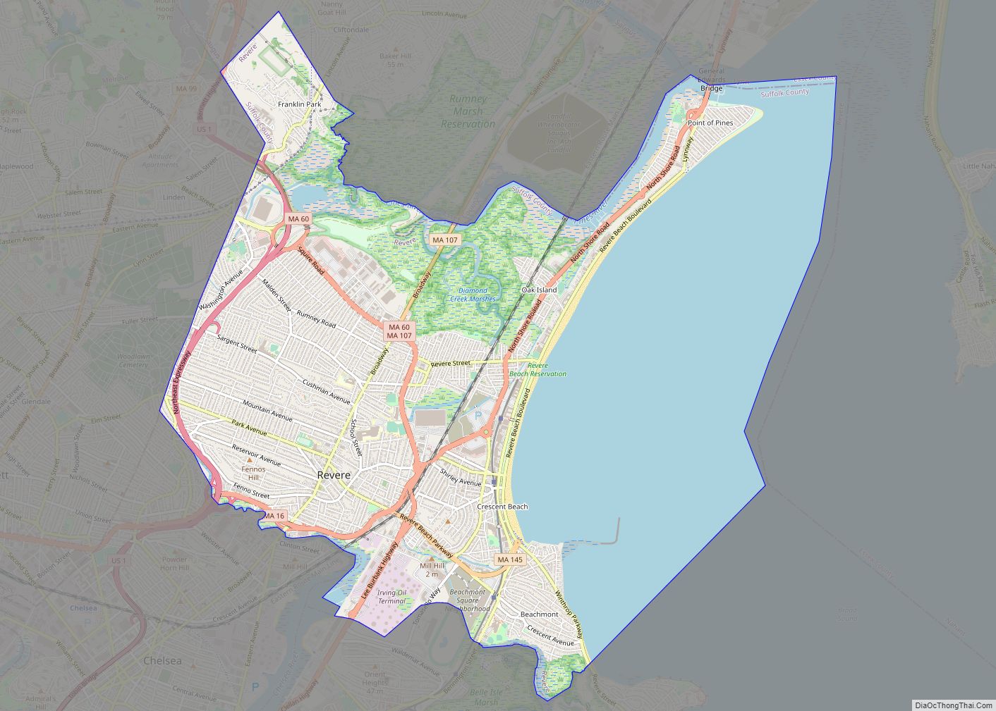
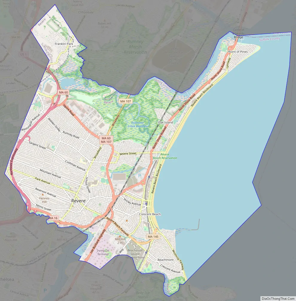
Revere Road Map
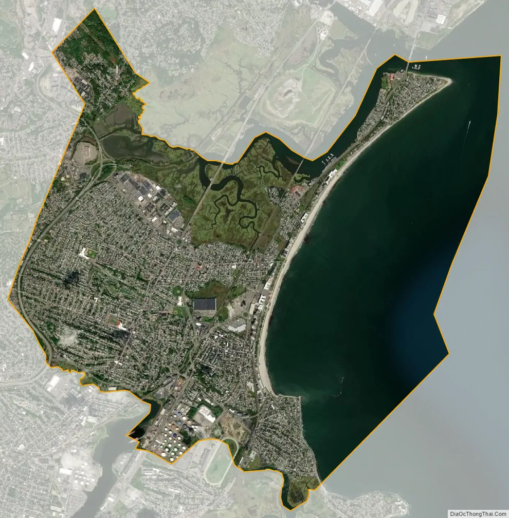
Revere city Satellite Map
Geography
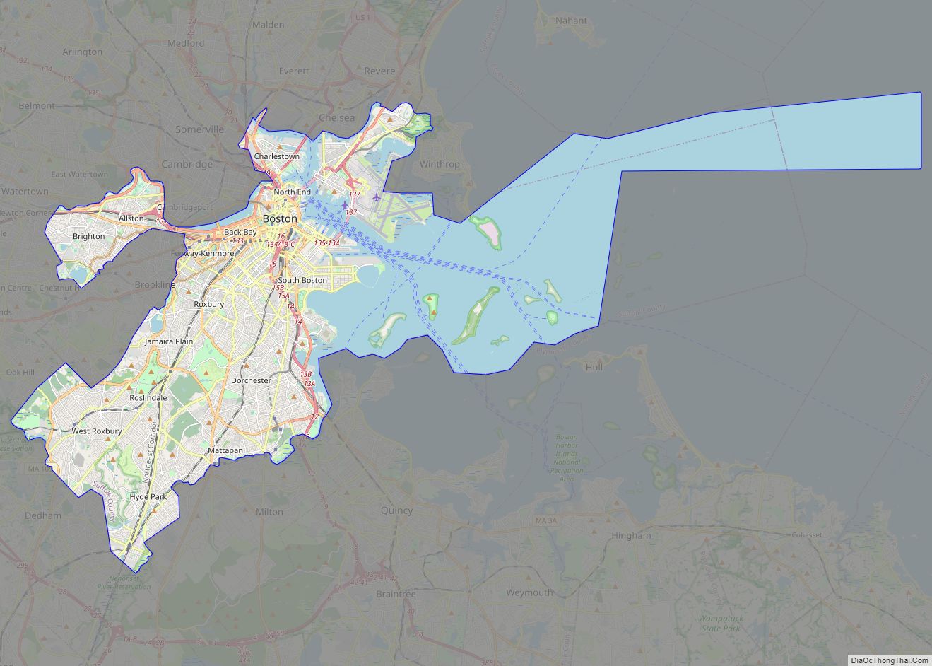
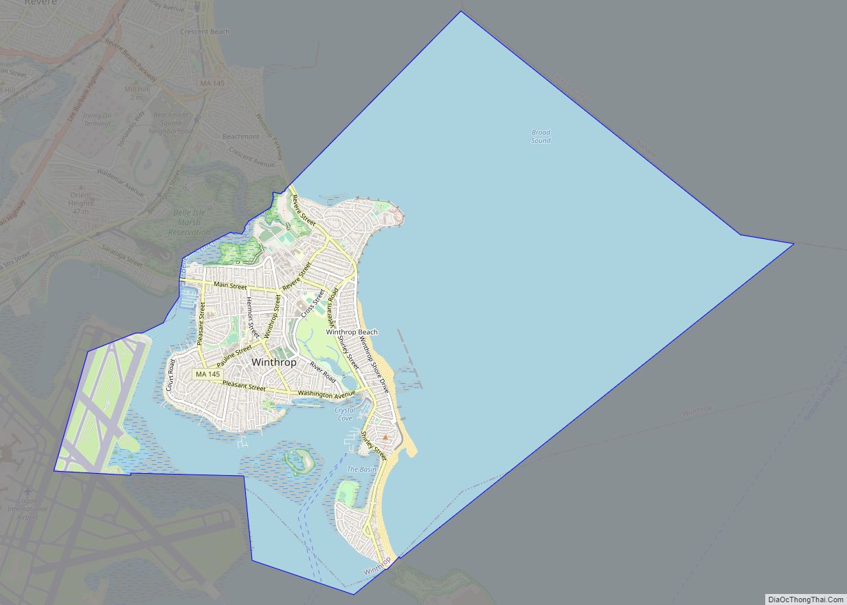
Revere borders the towns of Winthrop and Chelsea, and the Boston neighborhood of East Boston to the south, Everett and Malden to the west, Saugus and Lynn to the north, and the Atlantic Ocean to the east. According to the United States Census Bureau, the city has a total area of 10 square miles (26 km), of which 5.9 square miles (15 km) is land and 4.1 square miles (11 km) (40.98%) is water.
Neighborhoods and districts
Revere is home to several distinct neighborhoods and districts:
Beachmont: Beachmont is Revere’s most easterly neighborhood, situated between Revere Beach Boulevard and East Boston’s Orient Heights. It is home to a diverse ethnic population and a mixture of single and multi-family homes, apartments, and local businesses.
Broadway: Broadway is Revere’s central civic, commercial, and travel artery. It is home to a variety of small businesses, residences, and public buildings like Revere City Hall. It is accessible from all sides of the city and is a popular route for those traveling to neighboring municipalities like Saugus, Lynn, and Chelsea.
Oak Island: Oak Island is located near the Point of Pines and the end of Revere Beach. It is primarily home to single and multi-family homes and neighbors Revere’s marsh and wetlands.
Point of Pines: Point of Pines is located at the end of Revere Beach and is primarily home to single and multi-family homes. Residents of the Point of Pines neighborhood have access to their own private portion of Revere Beach.
Revere Beach Boulevard: Revere Beach Boulevard runs directly along Revere Beach. It is home to a mixture of apartment complexes, restaurants, and single-family homes. New development along the beach has also brought the rise of luxury apartments and fine-dining restaurants to the district.
Revere Street: Connecting Broadway to Revere Beach, Revere Street is a main travel artery for those commuting across both sides of the city. It is home to a number of local businesses restaurants, barbershops, and convenience stores.
Shirley Avenue: The Shirley Avenue neighborhood has a long history of welcoming Revere’s immigrant populations. Over time, it has been home to the has been home to the city’s Jewish, European, Latin American, African, and Cambodian communities. It is the most ethnically diverse part of the city and is home to various ethnic grocery stores, restaurants, and community services.
West Revere: West Revere primarily consists of single and multi-family homes. Aside from residential development, West Revere is also home to the Squire Road business district which contains a mixture of large shopping plazas, restaurants, and hotels.
See also
Map of Massachusetts State and its subdivision: Map of other states:- Alabama
- Alaska
- Arizona
- Arkansas
- California
- Colorado
- Connecticut
- Delaware
- District of Columbia
- Florida
- Georgia
- Hawaii
- Idaho
- Illinois
- Indiana
- Iowa
- Kansas
- Kentucky
- Louisiana
- Maine
- Maryland
- Massachusetts
- Michigan
- Minnesota
- Mississippi
- Missouri
- Montana
- Nebraska
- Nevada
- New Hampshire
- New Jersey
- New Mexico
- New York
- North Carolina
- North Dakota
- Ohio
- Oklahoma
- Oregon
- Pennsylvania
- Rhode Island
- South Carolina
- South Dakota
- Tennessee
- Texas
- Utah
- Vermont
- Virginia
- Washington
- West Virginia
- Wisconsin
- Wyoming