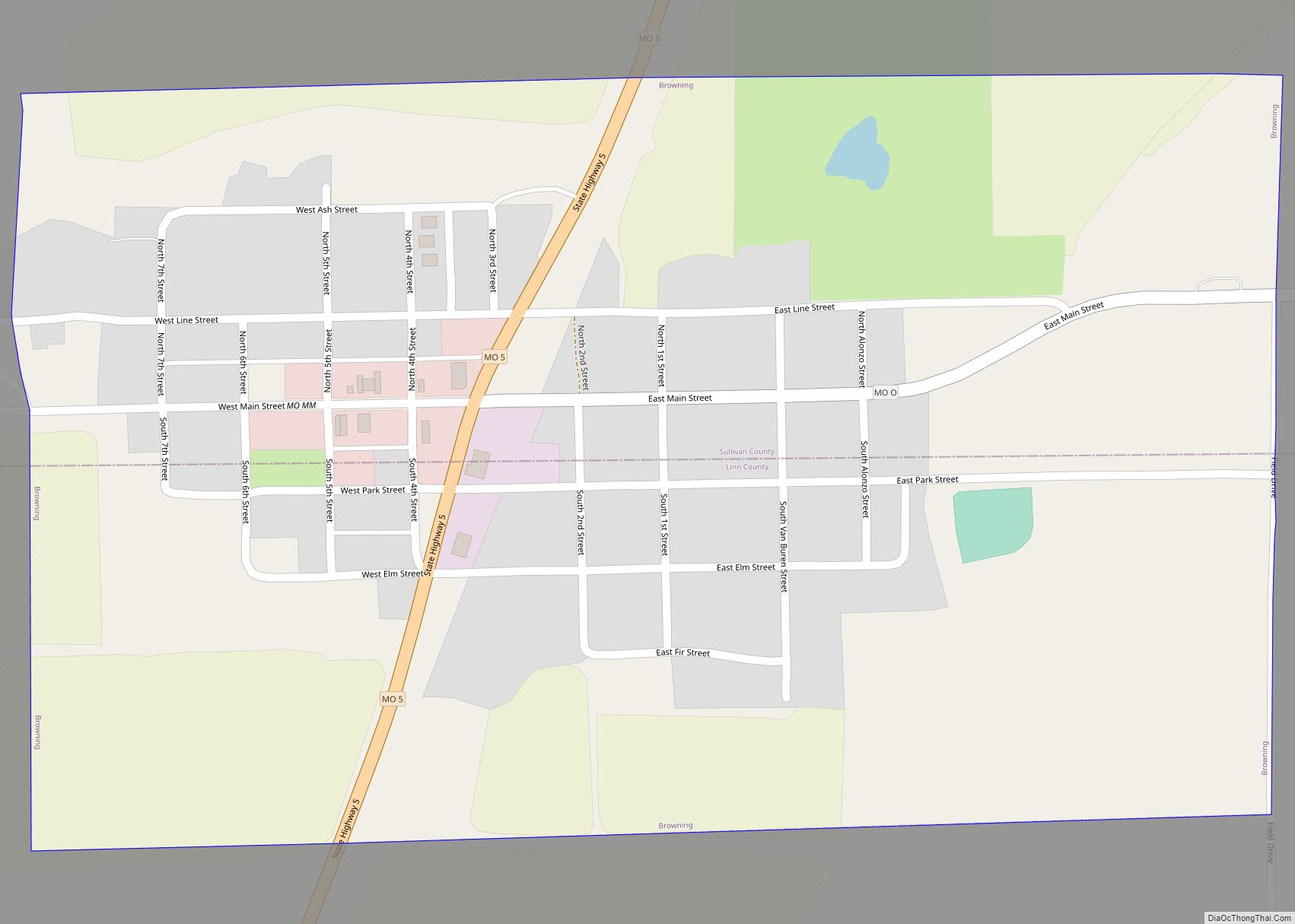
Milan (/ˈmaɪlən/ MY-lən) is a city in Sullivan County, Missouri, United States. The population was 1,819 at the 2020 census. It is the county seat of Sullivan County.
| Name: | Milan city |
|---|---|
| LSAD Code: | 25 |
| LSAD Description: | city (suffix) |
| State: | Missouri |
| County: | Sullivan County |
| Elevation: | 965 ft (294 m) |
| Total Area: | 1.78 sq mi (4.62 km²) |
| Land Area: | 1.77 sq mi (4.59 km²) |
| Water Area: | 0.01 sq mi (0.02 km²) |
| Total Population: | 1,819 |
| Population Density: | 1,025.94/sq mi (396.02/km²) |
| ZIP code: | 63556 |
| Area code: | 660 |
| FIPS code: | 2948062 |
| GNISfeature ID: | 2395320 |
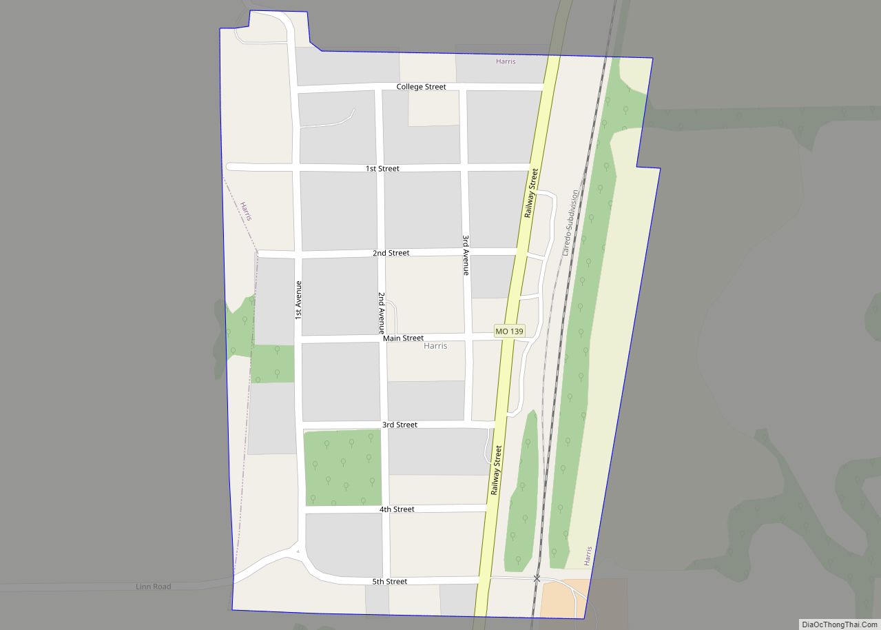
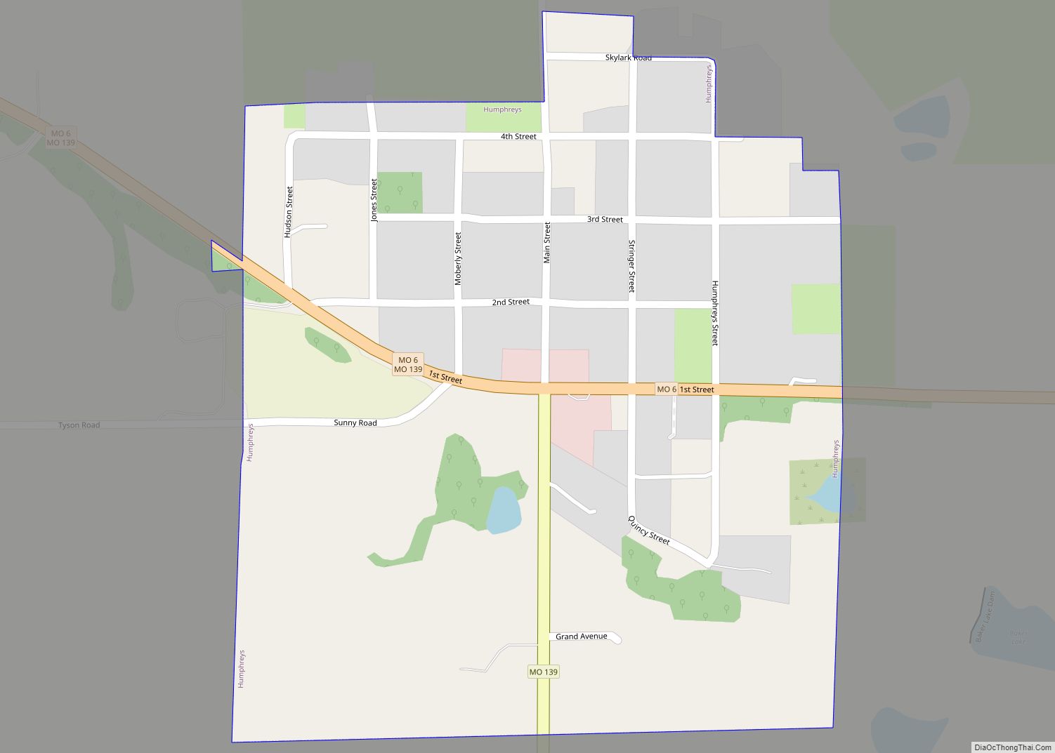
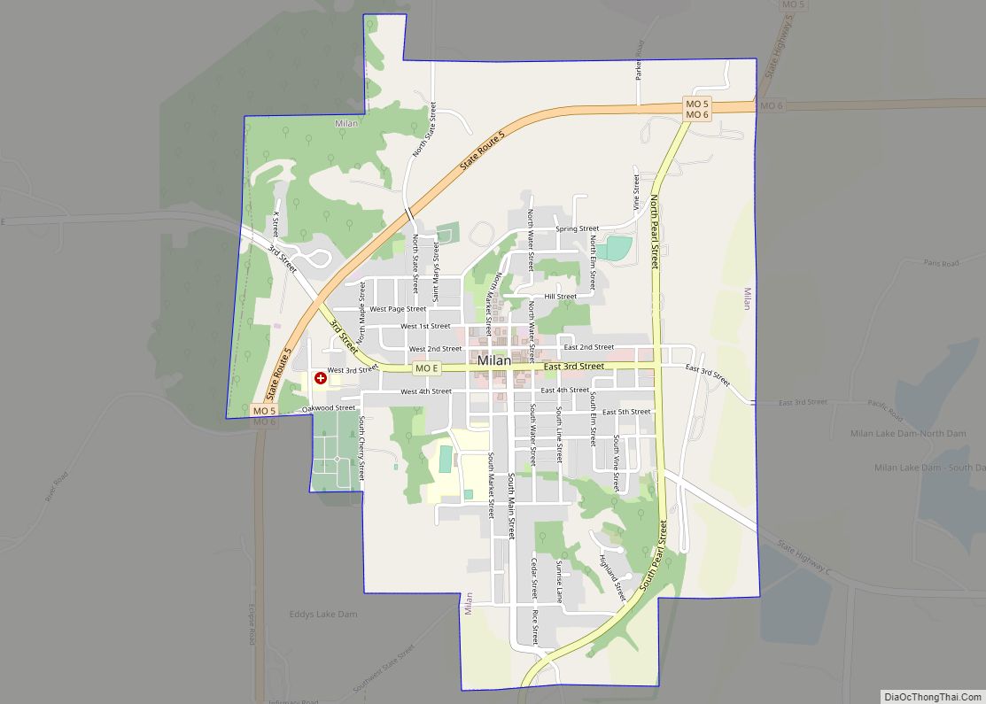
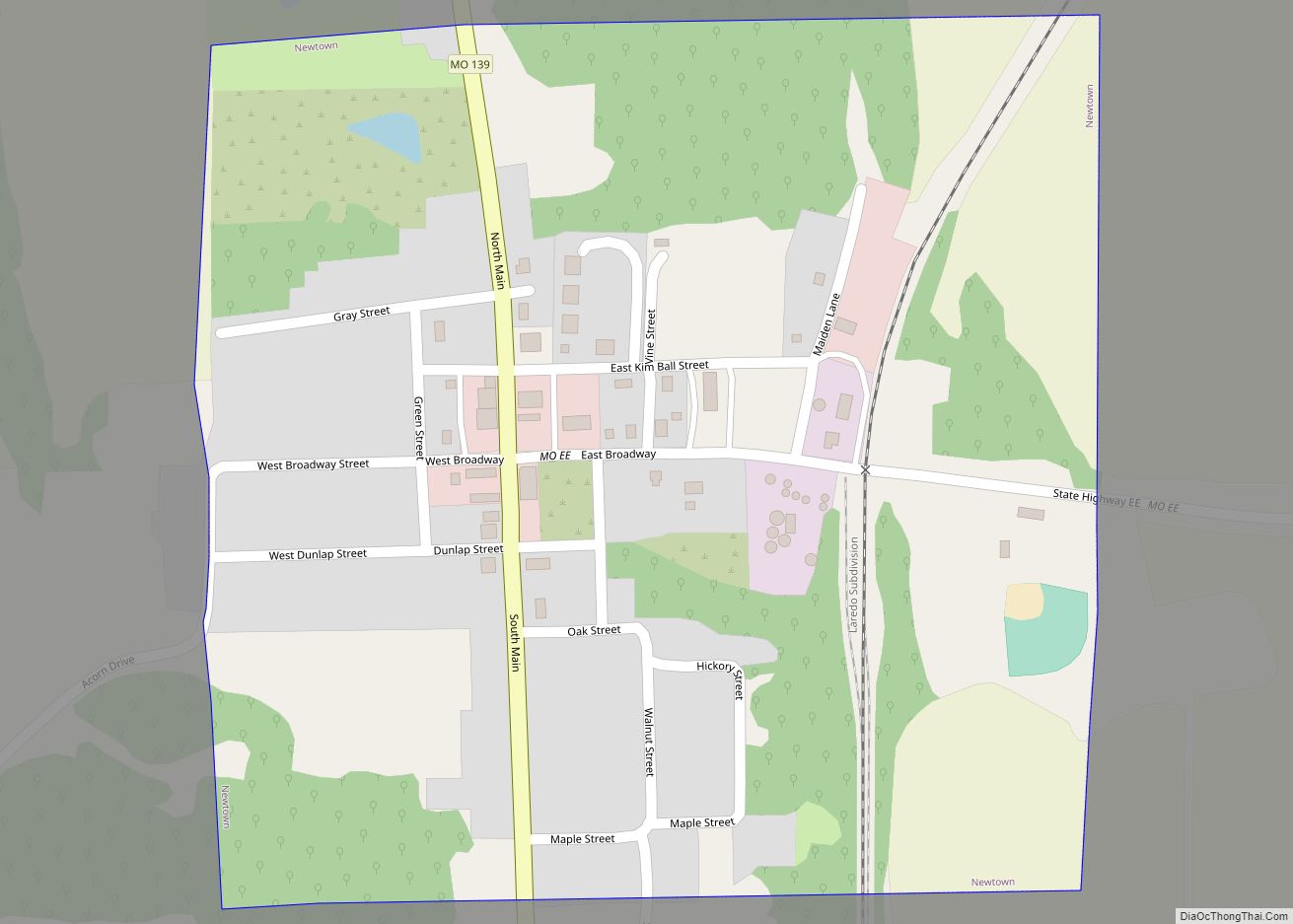
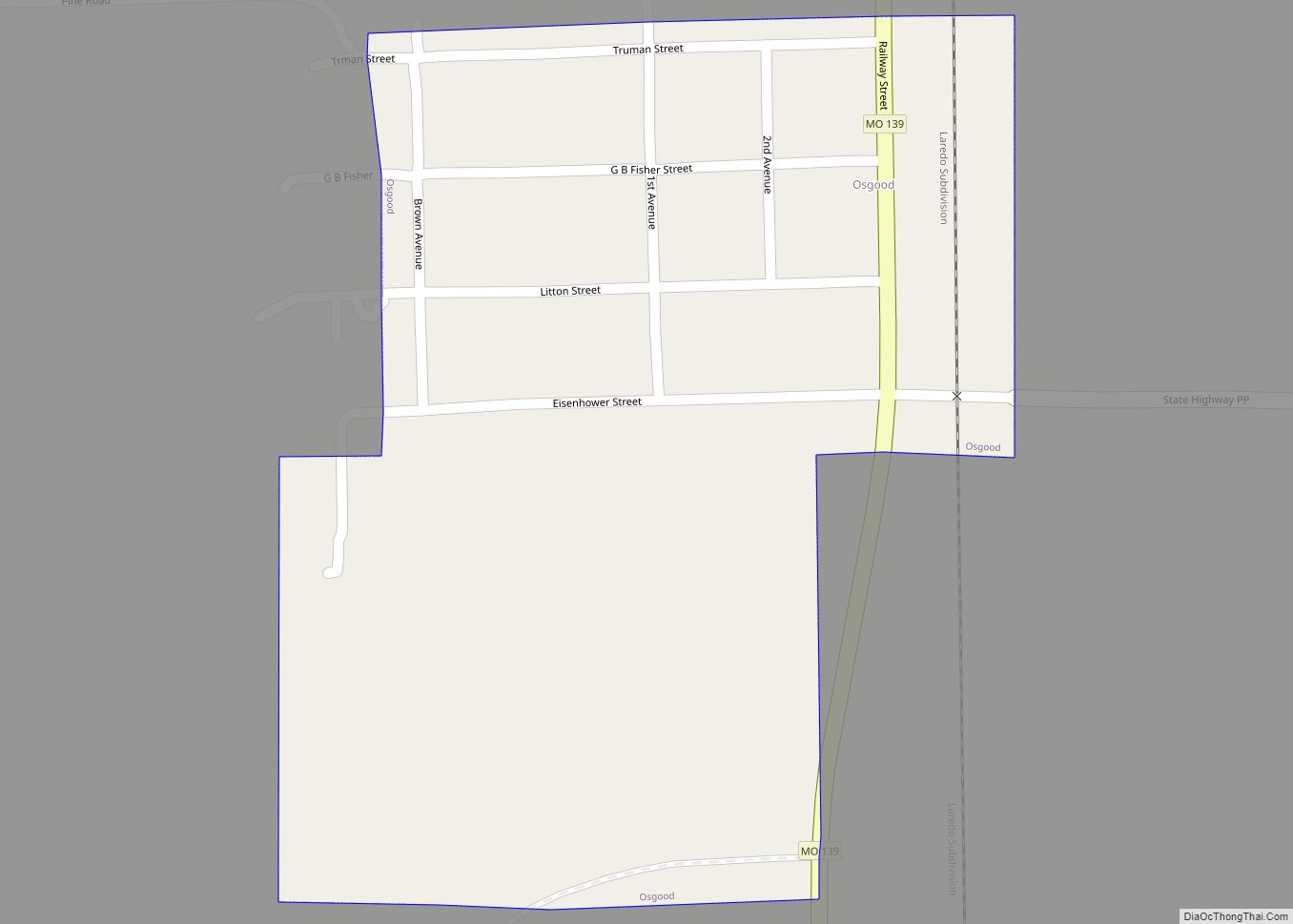
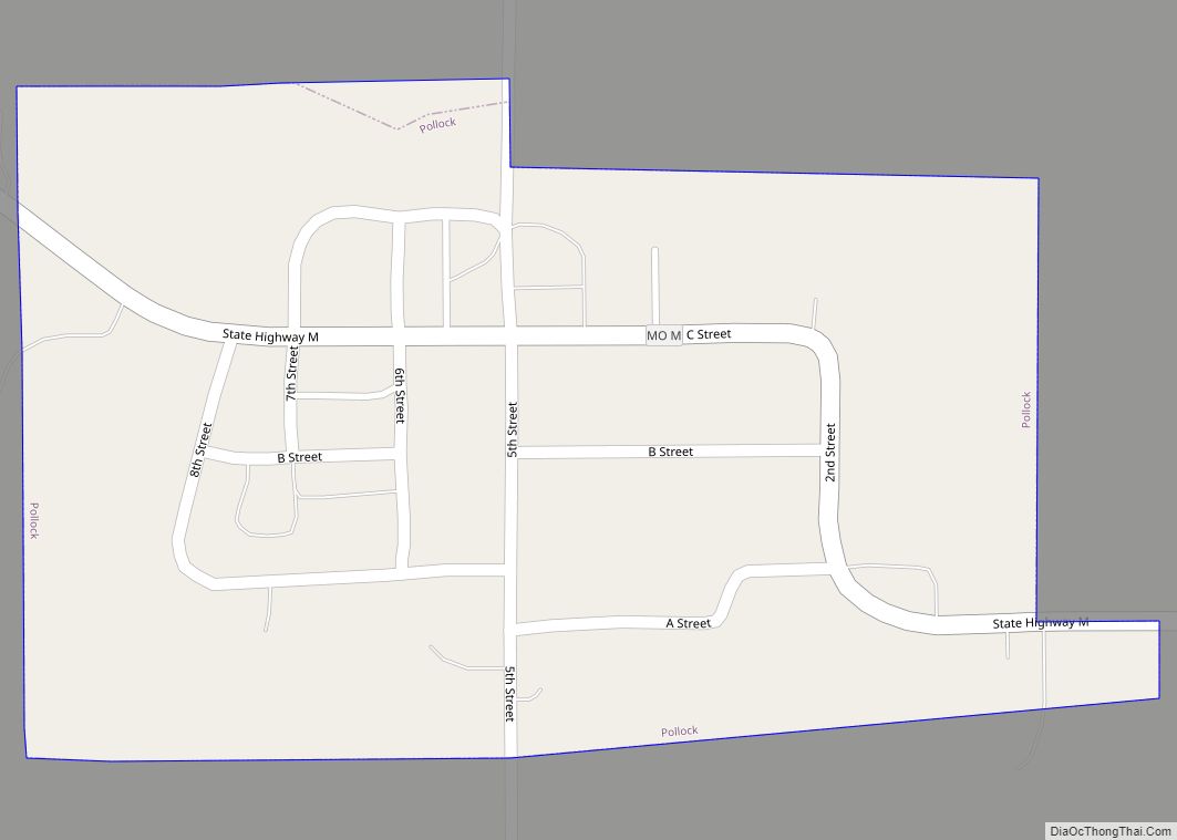
Online Interactive Map
Click on ![]() to view map in "full screen" mode.
to view map in "full screen" mode.
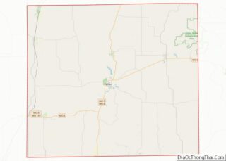
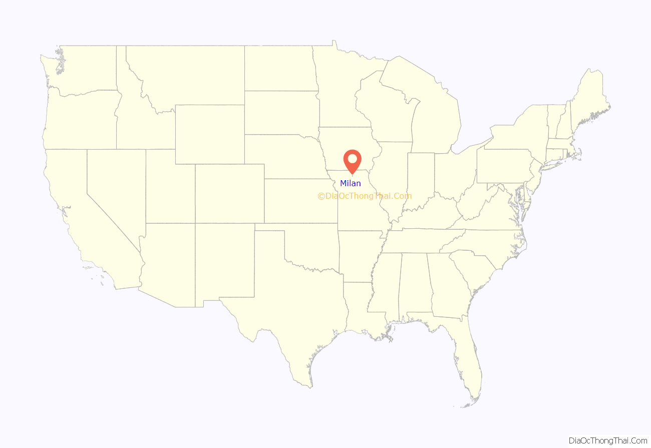
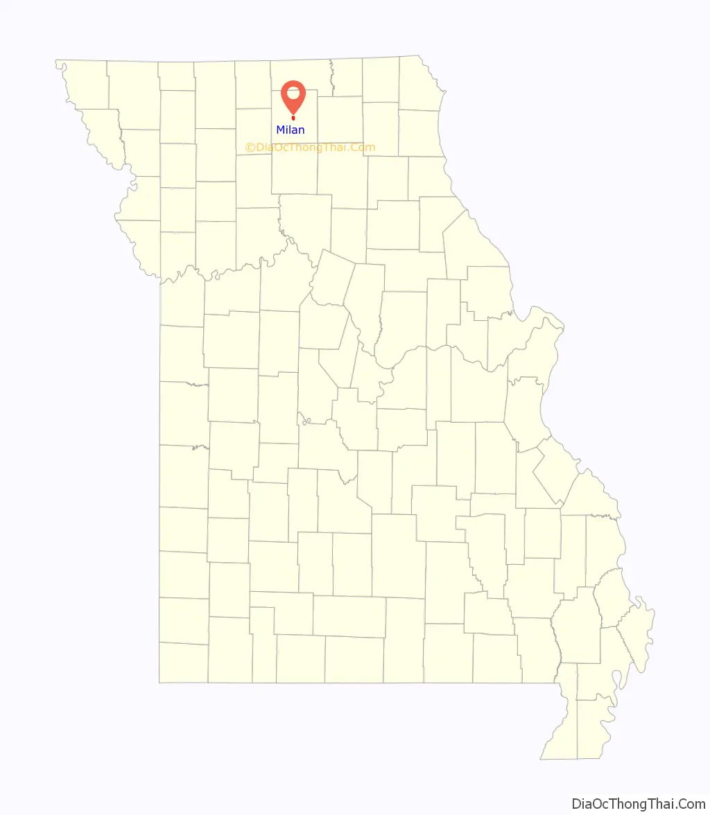
Milan location map. Where is Milan city?
History
Milan was laid out in 1845, and most likely named after Milan, in Italy. A post office called Milan has been in operation since 1847.
Camp Ground Church and Cemetery, Milan Railroad Depot, and Quincy, Omaha and Kansas City Railroad Office Building are listed on the National Register of Historic Places.
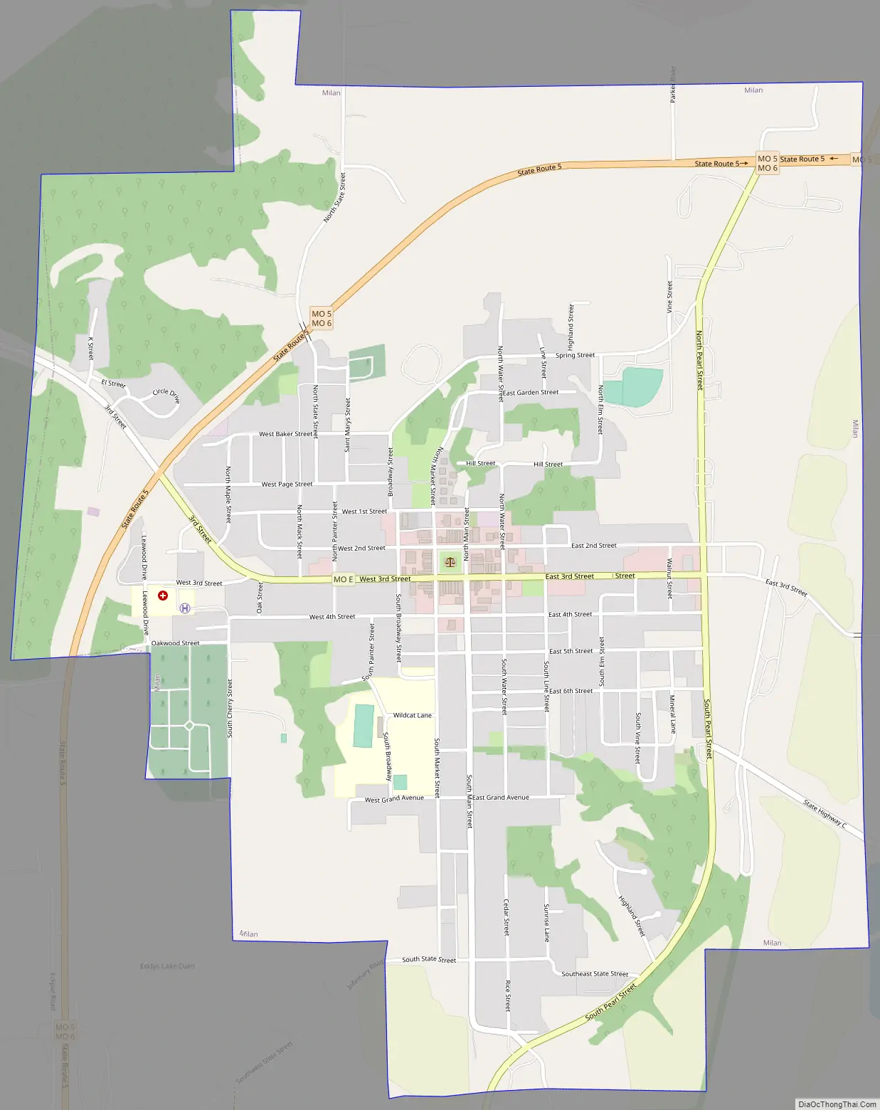
Milan Road Map
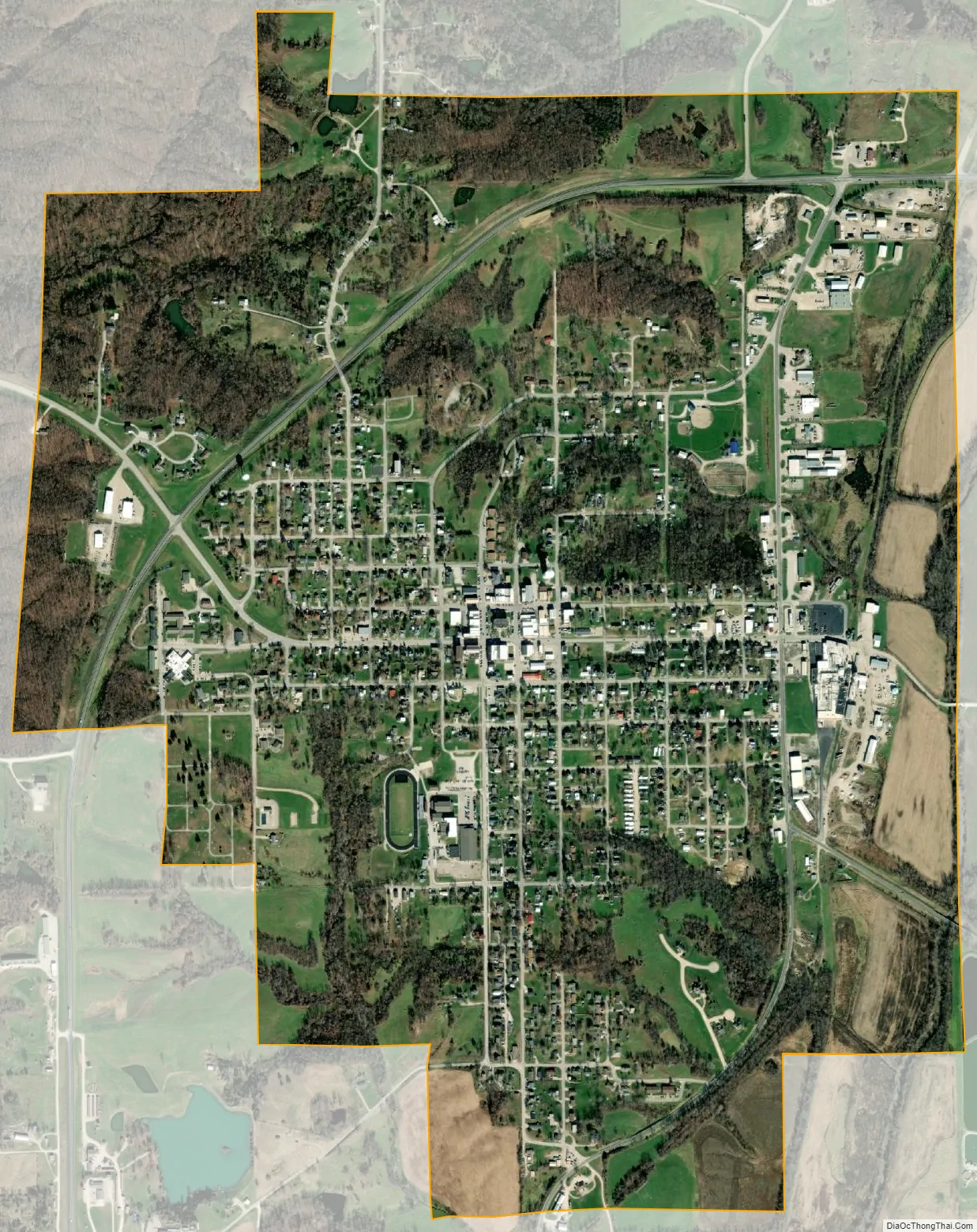
Milan city Satellite Map
Geography
Milan is located at the intersection of Missouri routes 5 and 6. Locust Creek flows past the west side of the city and the Locust Creek Conservation Area is three miles to the southwest.
According to the United States Census Bureau, the city has a total area of 1.78 square miles (4.61 km), of which 1.77 square miles (4.58 km) is land and 0.01 square miles (0.03 km) is water.
See also
Map of Missouri State and its subdivision:- Adair
- Andrew
- Atchison
- Audrain
- Barry
- Barton
- Bates
- Benton
- Bollinger
- Boone
- Buchanan
- Butler
- Caldwell
- Callaway
- Camden
- Cape Girardeau
- Carroll
- Carter
- Cass
- Cedar
- Chariton
- Christian
- Clark
- Clay
- Clinton
- Cole
- Cooper
- Crawford
- Dade
- Dallas
- Daviess
- De Kalb
- Dent
- Douglas
- Dunklin
- Franklin
- Gasconade
- Gentry
- Greene
- Grundy
- Harrison
- Henry
- Hickory
- Holt
- Howard
- Howell
- Iron
- Jackson
- Jasper
- Jefferson
- Johnson
- Knox
- Laclede
- Lafayette
- Lawrence
- Lewis
- Lincoln
- Linn
- Livingston
- Macon
- Madison
- Maries
- Marion
- McDonald
- Mercer
- Miller
- Mississippi
- Moniteau
- Monroe
- Montgomery
- Morgan
- New Madrid
- Newton
- Nodaway
- Oregon
- Osage
- Ozark
- Pemiscot
- Perry
- Pettis
- Phelps
- Pike
- Platte
- Polk
- Pulaski
- Putnam
- Ralls
- Randolph
- Ray
- Reynolds
- Ripley
- Saint Charles
- Saint Clair
- Saint Francois
- Saint Louis
- Sainte Genevieve
- Saline
- Schuyler
- Scotland
- Scott
- Shannon
- Shelby
- Stoddard
- Stone
- Sullivan
- Taney
- Texas
- Vernon
- Warren
- Washington
- Wayne
- Webster
- Worth
- Wright
- Alabama
- Alaska
- Arizona
- Arkansas
- California
- Colorado
- Connecticut
- Delaware
- District of Columbia
- Florida
- Georgia
- Hawaii
- Idaho
- Illinois
- Indiana
- Iowa
- Kansas
- Kentucky
- Louisiana
- Maine
- Maryland
- Massachusetts
- Michigan
- Minnesota
- Mississippi
- Missouri
- Montana
- Nebraska
- Nevada
- New Hampshire
- New Jersey
- New Mexico
- New York
- North Carolina
- North Dakota
- Ohio
- Oklahoma
- Oregon
- Pennsylvania
- Rhode Island
- South Carolina
- South Dakota
- Tennessee
- Texas
- Utah
- Vermont
- Virginia
- Washington
- West Virginia
- Wisconsin
- Wyoming