Houston is a city in Texas County, Missouri, United States. The population was 2,079 at the 2020 census. It is the county seat of Texas County.
| Name: | Houston city |
|---|---|
| LSAD Code: | 25 |
| LSAD Description: | city (suffix) |
| State: | Missouri |
| County: | Texas County |
| Elevation: | 1,201 ft (366 m) |
| Total Area: | 3.65 sq mi (9.44 km²) |
| Land Area: | 3.64 sq mi (9.43 km²) |
| Water Area: | 0.00 sq mi (0.01 km²) |
| Total Population: | 2,079 |
| Population Density: | 570.68/sq mi (220.36/km²) |
| ZIP code: | 65483 |
| Area code: | 417 |
| FIPS code: | 2933238 |
| GNISfeature ID: | 2394426 |
Online Interactive Map
Click on ![]() to view map in "full screen" mode.
to view map in "full screen" mode.
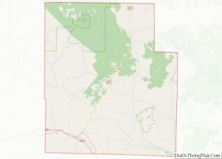
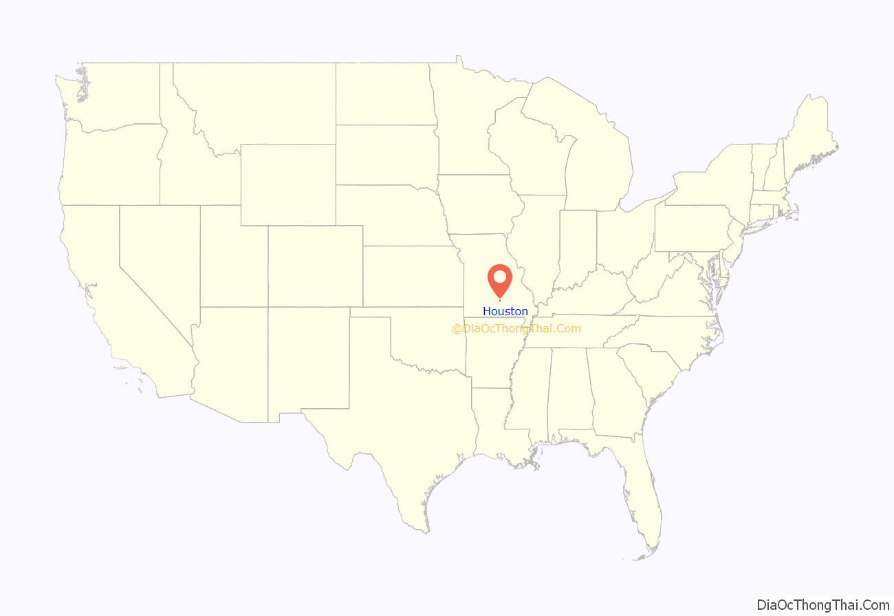
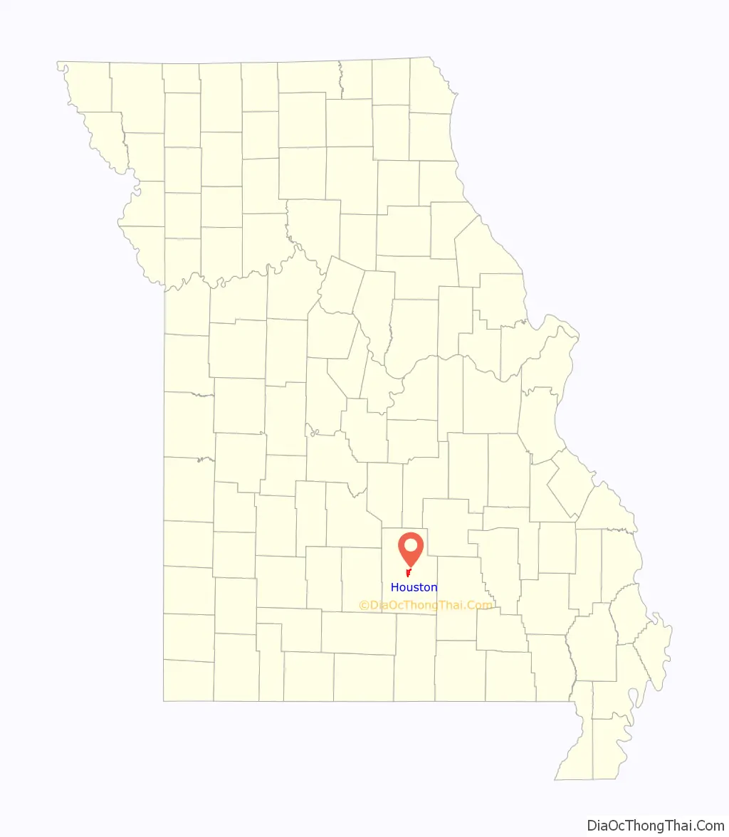
Houston location map. Where is Houston city?
History
Houston was founded in 1857 and was named after Sam Houston.
During the Civil War, Houston was sometimes defended by units of the 5th Missouri State Militia.
The Arthur W. and Chloe B. Cole House, Houston High School, and Houston Ranger Station Historic District are listed on the National Register of Historic Places.
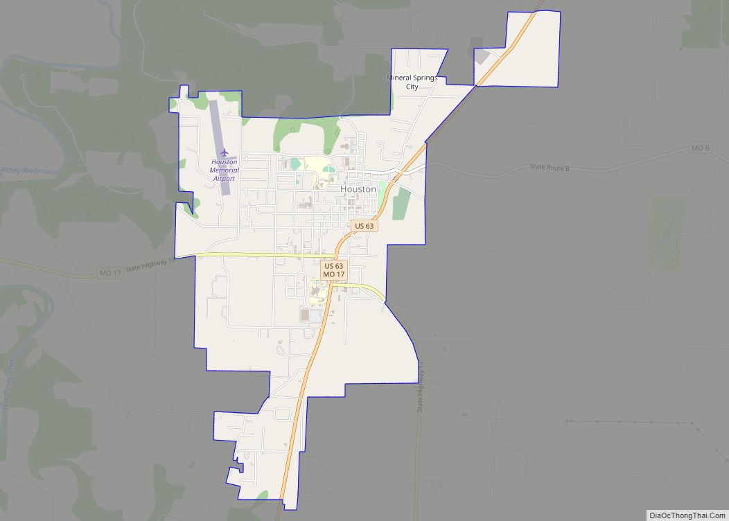
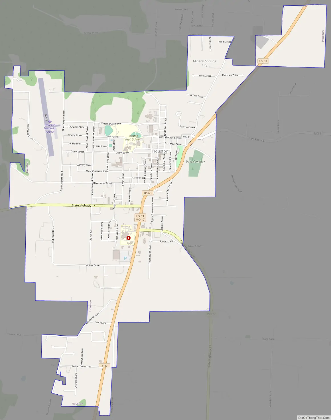
Houston Road Map
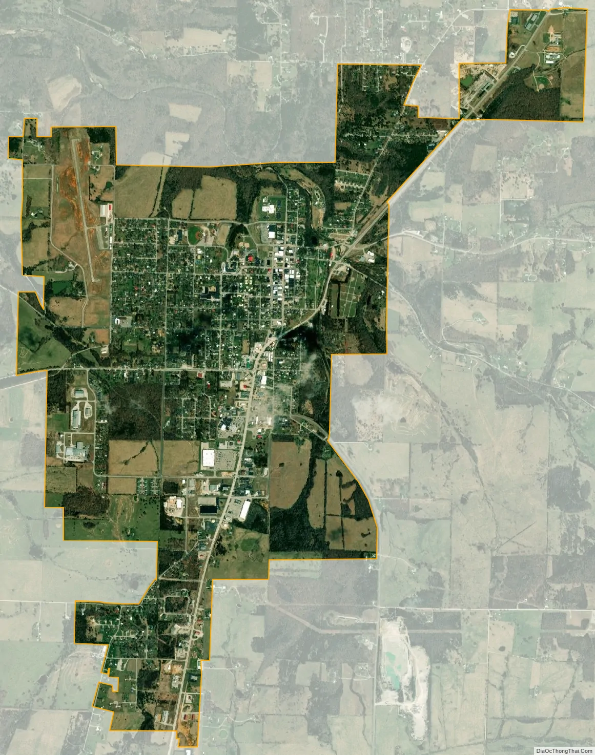
Houston city Satellite Map
Geography
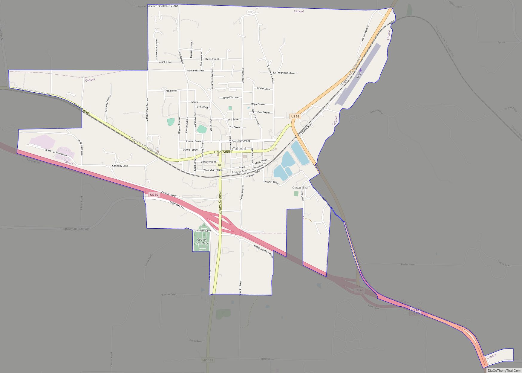
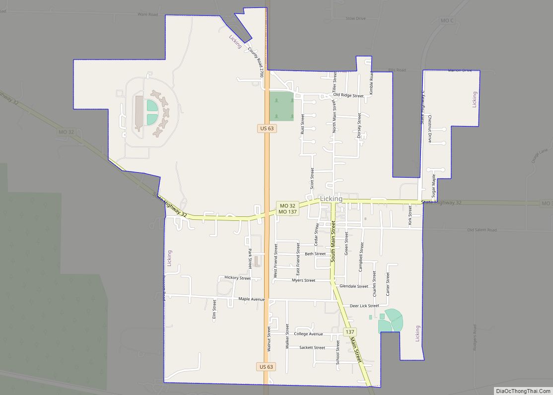
Houston is located in the Missouri Ozarks in central Texas County, at the intersection of U.S. Route 63 and Missouri Route 17. Cabool is approximately 15 miles to the southwest and Licking about 12 miles to the northeast on route 63.
According to the United States Census Bureau, the city has a total area of 3.64 square miles (9.43 km), all land. Houston is the second-largest city in Texas County, behind Cabool. The town is located south of Rolla.
Climate
See also
Map of Missouri State and its subdivision:- Adair
- Andrew
- Atchison
- Audrain
- Barry
- Barton
- Bates
- Benton
- Bollinger
- Boone
- Buchanan
- Butler
- Caldwell
- Callaway
- Camden
- Cape Girardeau
- Carroll
- Carter
- Cass
- Cedar
- Chariton
- Christian
- Clark
- Clay
- Clinton
- Cole
- Cooper
- Crawford
- Dade
- Dallas
- Daviess
- De Kalb
- Dent
- Douglas
- Dunklin
- Franklin
- Gasconade
- Gentry
- Greene
- Grundy
- Harrison
- Henry
- Hickory
- Holt
- Howard
- Howell
- Iron
- Jackson
- Jasper
- Jefferson
- Johnson
- Knox
- Laclede
- Lafayette
- Lawrence
- Lewis
- Lincoln
- Linn
- Livingston
- Macon
- Madison
- Maries
- Marion
- McDonald
- Mercer
- Miller
- Mississippi
- Moniteau
- Monroe
- Montgomery
- Morgan
- New Madrid
- Newton
- Nodaway
- Oregon
- Osage
- Ozark
- Pemiscot
- Perry
- Pettis
- Phelps
- Pike
- Platte
- Polk
- Pulaski
- Putnam
- Ralls
- Randolph
- Ray
- Reynolds
- Ripley
- Saint Charles
- Saint Clair
- Saint Francois
- Saint Louis
- Sainte Genevieve
- Saline
- Schuyler
- Scotland
- Scott
- Shannon
- Shelby
- Stoddard
- Stone
- Sullivan
- Taney
- Texas
- Vernon
- Warren
- Washington
- Wayne
- Webster
- Worth
- Wright
- Alabama
- Alaska
- Arizona
- Arkansas
- California
- Colorado
- Connecticut
- Delaware
- District of Columbia
- Florida
- Georgia
- Hawaii
- Idaho
- Illinois
- Indiana
- Iowa
- Kansas
- Kentucky
- Louisiana
- Maine
- Maryland
- Massachusetts
- Michigan
- Minnesota
- Mississippi
- Missouri
- Montana
- Nebraska
- Nevada
- New Hampshire
- New Jersey
- New Mexico
- New York
- North Carolina
- North Dakota
- Ohio
- Oklahoma
- Oregon
- Pennsylvania
- Rhode Island
- South Carolina
- South Dakota
- Tennessee
- Texas
- Utah
- Vermont
- Virginia
- Washington
- West Virginia
- Wisconsin
- Wyoming