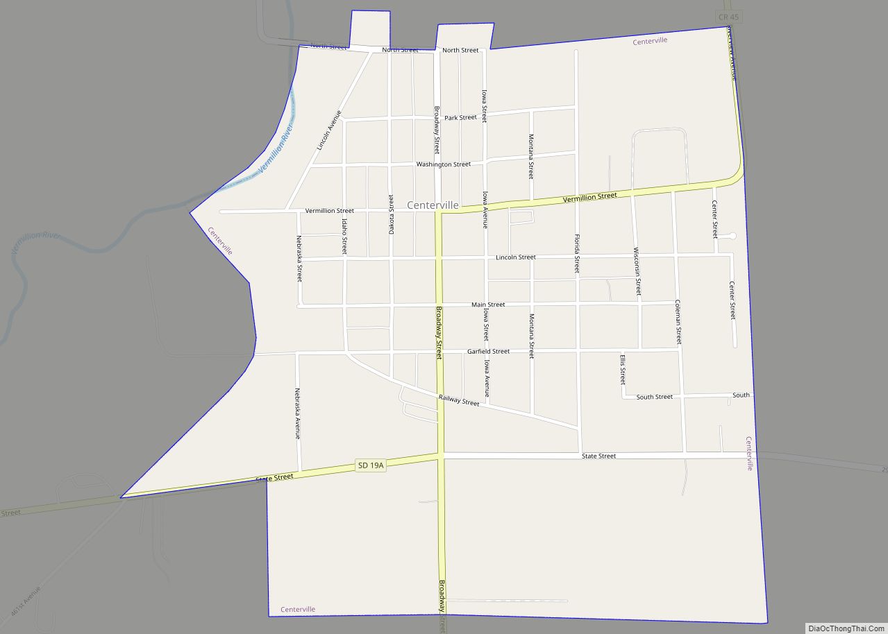
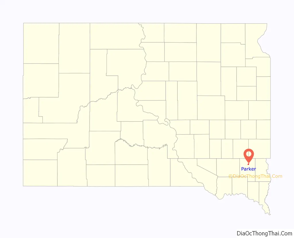
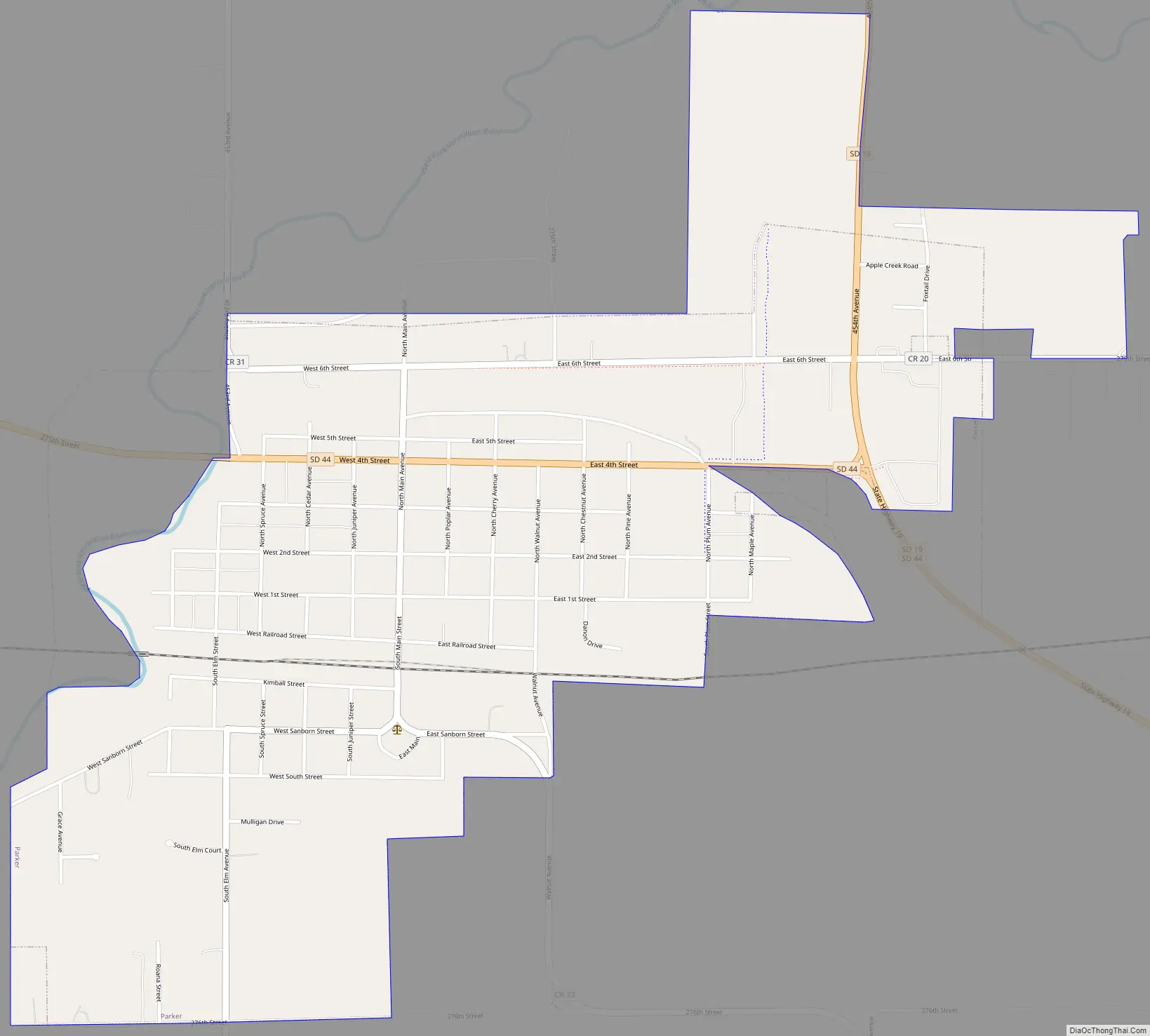
Parker is a city in Turner County, South Dakota, United States. The population was 1,194 at the 2020 census. It is the county seat of Turner County. Parker is bordered on its eastern side by South Dakota State Highway 19. Its northern side is bordered by South Dakota State Highway 44. Parker is located approximately 8 miles (13 km) northwest of Chancellor, 42 miles (68 km) east of Parkston and 41 miles (66 km) south of Madison.
| Name: | Parker city |
|---|---|
| LSAD Code: | 25 |
| LSAD Description: | city (suffix) |
| State: | South Dakota |
| County: | Turner County |
| Incorporated: | 1883 |
| Elevation: | 1,345 ft ft (410 m) |
| Total Area: | 1.17 sq mi (3.04 km²) |
| Land Area: | 1.17 sq mi (3.04 km²) |
| Water Area: | 0.00 sq mi (0.00 km²) |
| Total Population: | 1,194 |
| Population Density: | 1,018.77/sq mi (393.25/km²) |
| ZIP code: | 57053 |
| Area code: | 605 |
| FIPS code: | 4648380 |
| GNISfeature ID: | 1265677 |
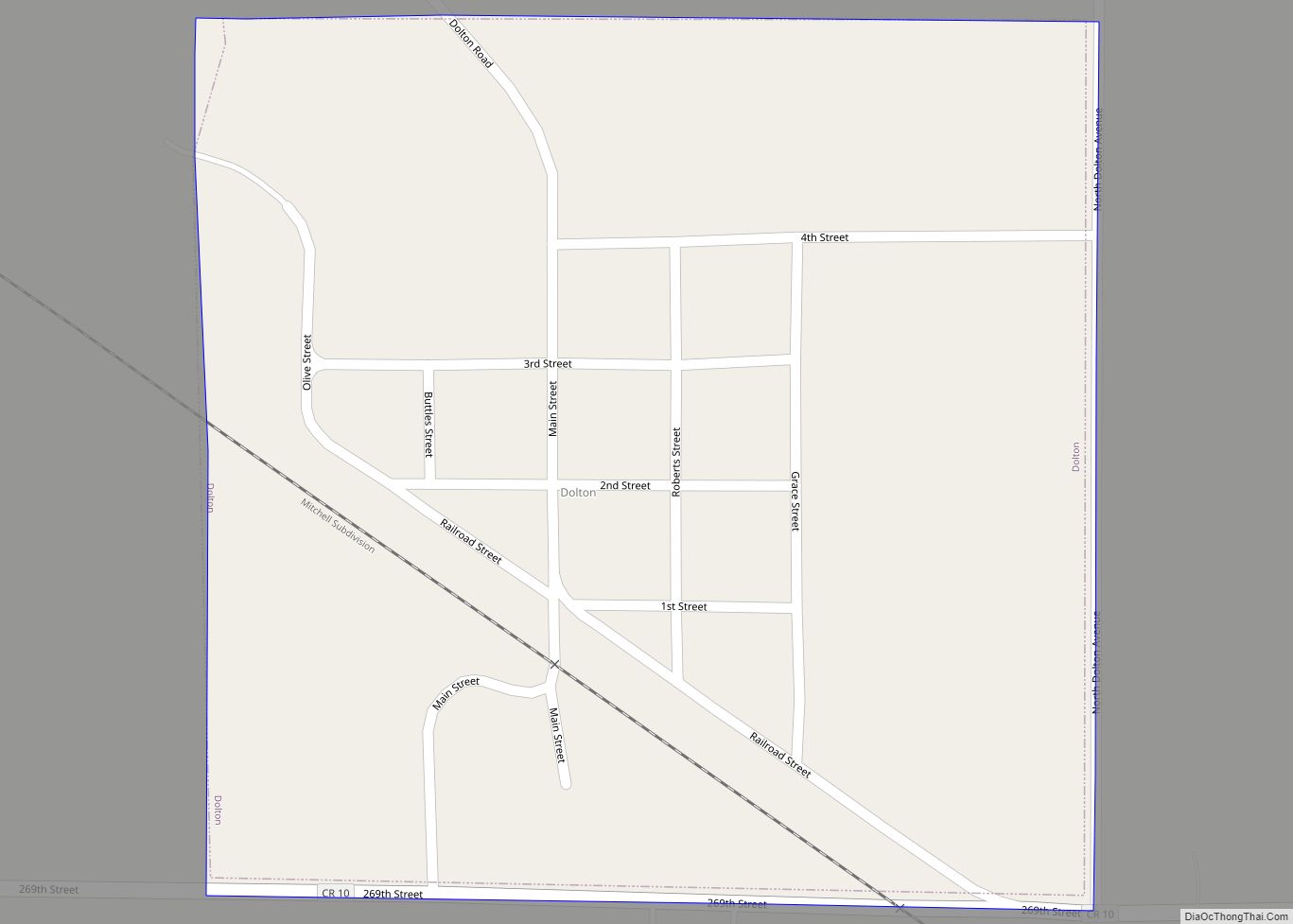
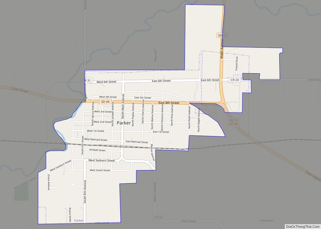
Online Interactive Map
Click on ![]() to view map in "full screen" mode.
to view map in "full screen" mode.
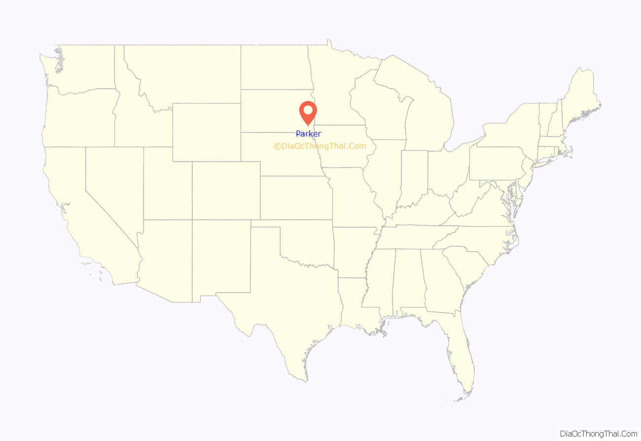
Parker location map. Where is Parker city?
History
Parker was established in 1879 as county seat; it was incorporated as a city in 1883. The name Parker was the maiden name of a railroad official’s wife.
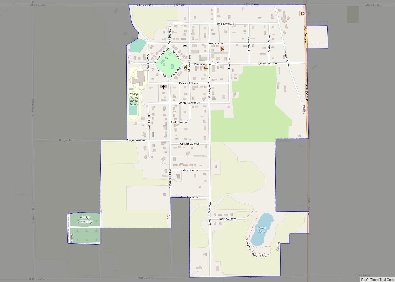
Parker Road Map
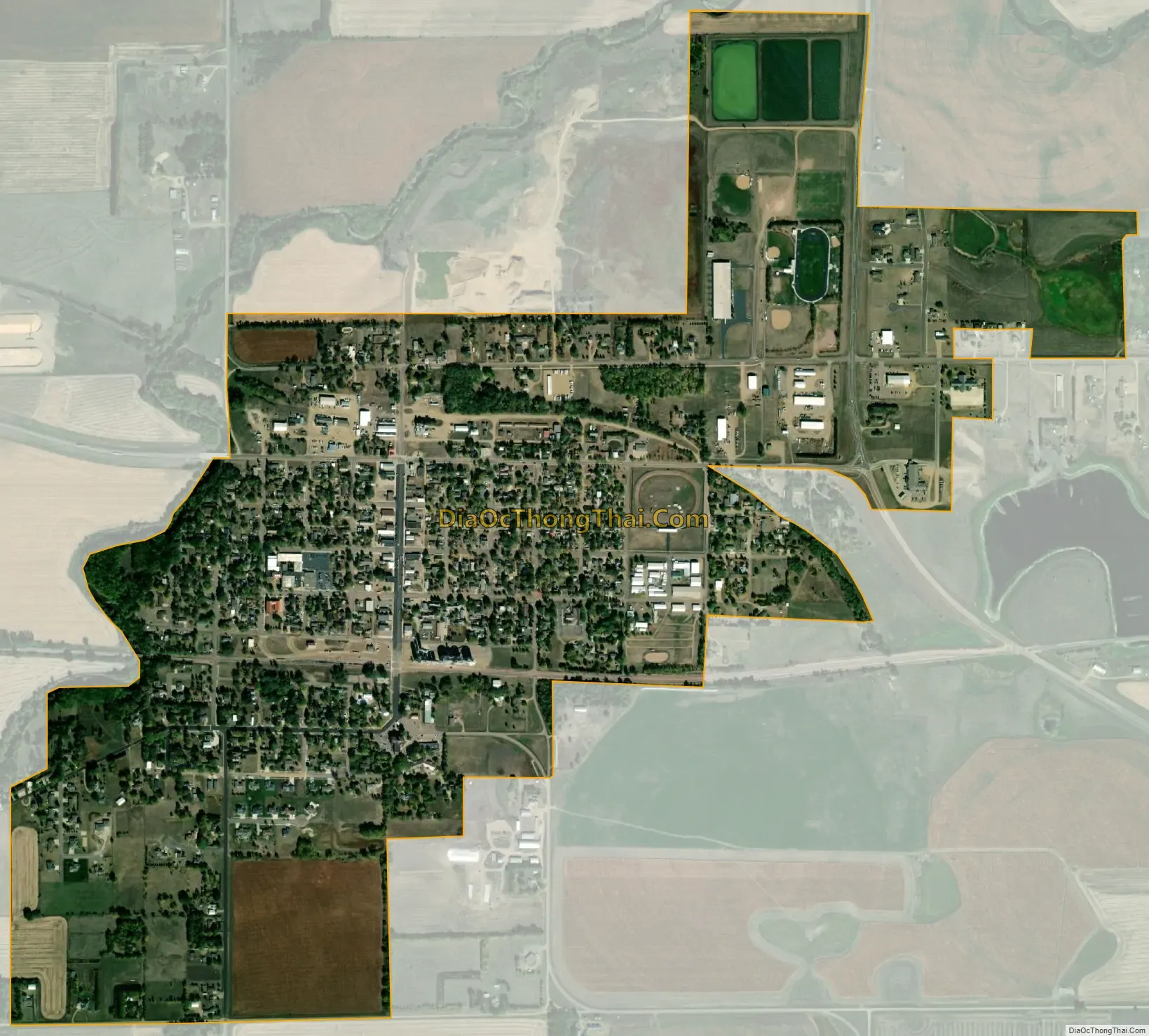
Parker city Satellite Map
Geography
Parker is located at 43°23′50″N 97°8′14″W / 43.39722°N 97.13722°W / 43.39722; -97.13722 (43.397152, -97.137297).
According to the United States Census Bureau, the city has a total area of 1.15 square miles (2.98 km), all land.
Parker has been assigned the ZIP code 57053 and the FIPS place code 48380.
See also
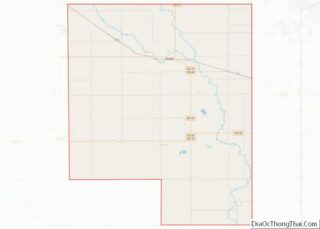
Map of South Dakota State and its subdivision:- Aurora
- Beadle
- Bennett
- Bon Homme
- Brookings
- Brown
- Brule
- Buffalo
- Butte
- Campbell
- Charles Mix
- Clark
- Clay
- Codington
- Corson
- Custer
- Davison
- Day
- Deuel
- Dewey
- Douglas
- Edmunds
- Fall River
- Faulk
- Grant
- Gregory
- Haakon
- Hamlin
- Hand
- Hanson
- Harding
- Hughes
- Hutchinson
- Hyde
- Jackson
- Jerauld
- Jones
- Kingsbury
- Lake
- Lawrence
- Lincoln
- Lyman
- Marshall
- McCook
- McPherson
- Meade
- Mellette
- Miner
- Minnehaha
- Moody
- Pennington
- Perkins
- Potter
- Roberts
- Sanborn
- Shannon
- Spink
- Stanley
- Sully
- Todd
- Tripp
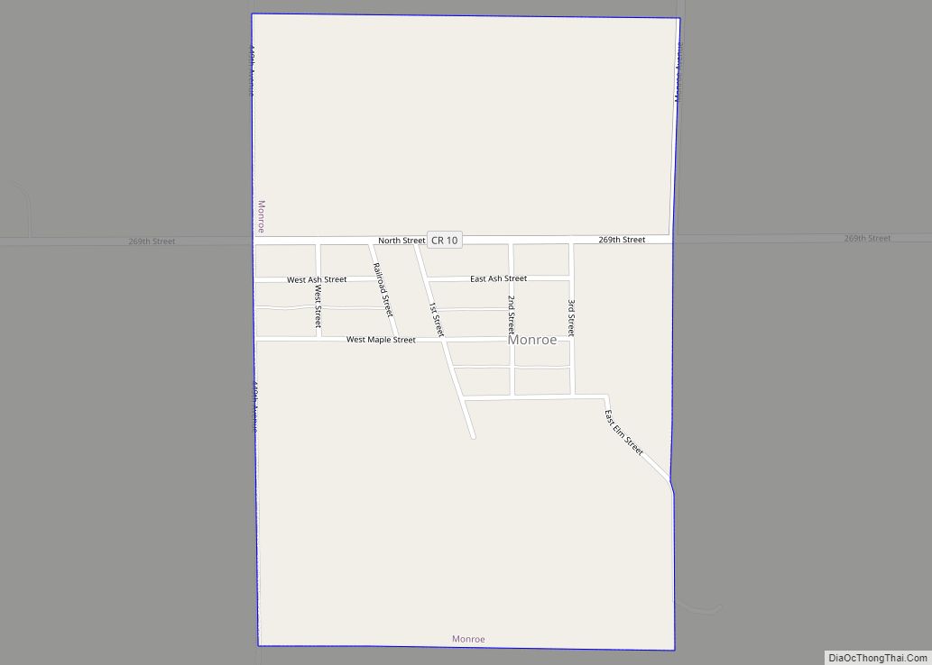
- Turner
- Union
- Walworth
- Yankton
- Ziebach
- Alabama
- Alaska
- Arizona
- Arkansas
- California
- Colorado
- Connecticut
- Delaware
- District of Columbia
- Florida
- Georgia
- Hawaii
- Idaho
- Illinois
- Indiana
- Iowa
- Kansas
- Kentucky
- Louisiana
- Maine
- Maryland
- Massachusetts
- Michigan
- Minnesota
- Mississippi
- Missouri
- Montana
- Nebraska
- Nevada
- New Hampshire
- New Jersey
- New Mexico
- New York
- North Carolina
- North Dakota
- Ohio
- Oklahoma
- Oregon
- Pennsylvania
- Rhode Island
- South Carolina
- South Dakota
- Tennessee
- Texas
- Utah
- Vermont
- Virginia
- Washington
- West Virginia
- Wisconsin
- Wyoming