Eagle River is a city in Vilas County, Wisconsin, United States. The population was 1,628 at the 2020 census. It is the county seat of Vilas County. Because of the many lakes in the area, the city is a popular vacation and retirement destination. The area contains many condominiums, seasonal vacation homes, and hunting cabins.
| Name: | Eagle River city |
|---|---|
| LSAD Code: | 25 |
| LSAD Description: | city (suffix) |
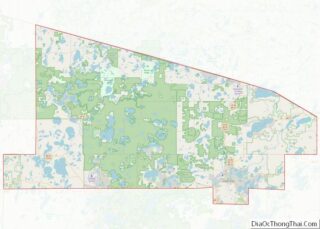
| State: | Wisconsin |
| County: | Vilas County |
| Elevation: | 1,647 ft (502 m) |
| Total Area: | 3.41 sq mi (8.84 km²) |
| Land Area: | 3.24 sq mi (8.40 km²) |
| Water Area: | 0.17 sq mi (0.44 km²) |
| Total Population: | 1,628 |
| Population Density: | 490.90/sq mi (189.53/km²) |
| Area code: | 715 & 534 |
| FIPS code: | 5521625 |
| GNISfeature ID: | 1579167 |
| Website: | eagleriver.govoffice2.com |
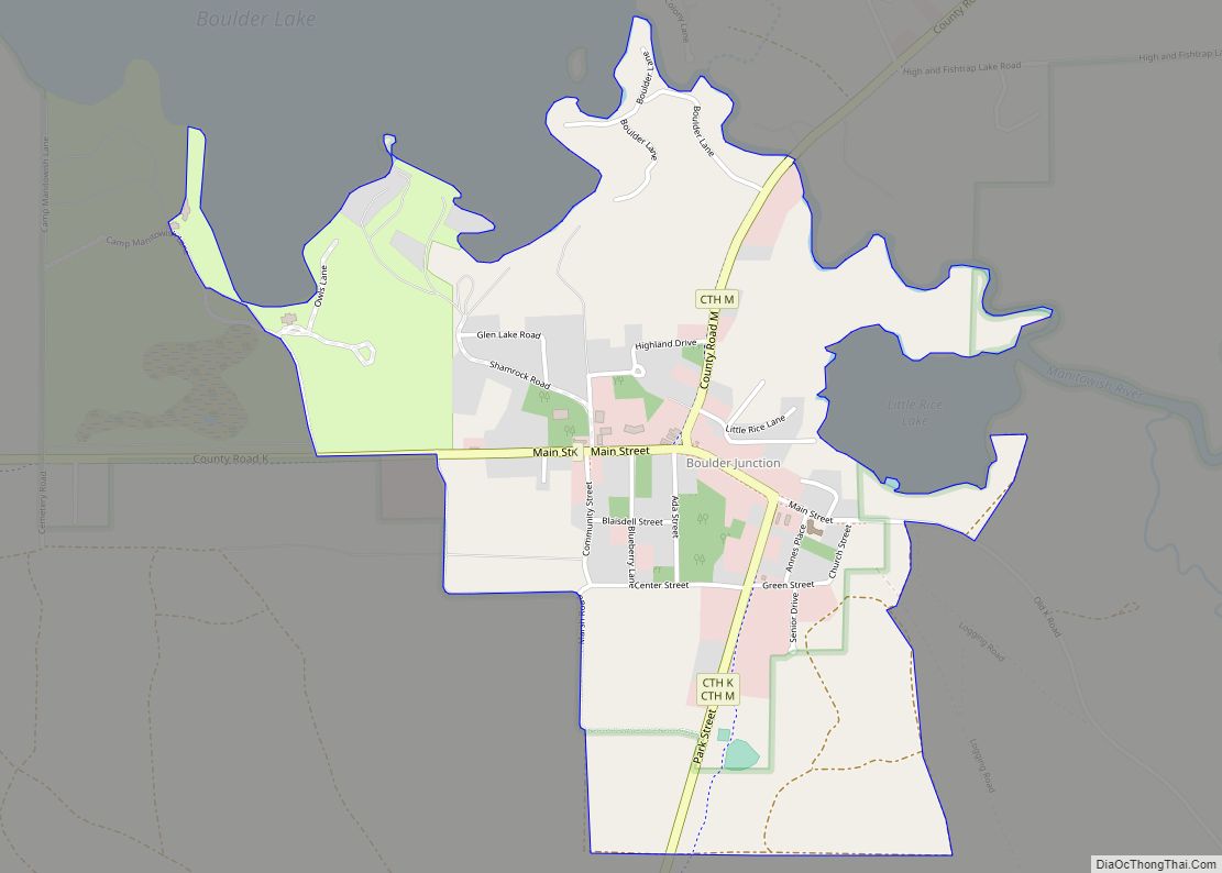
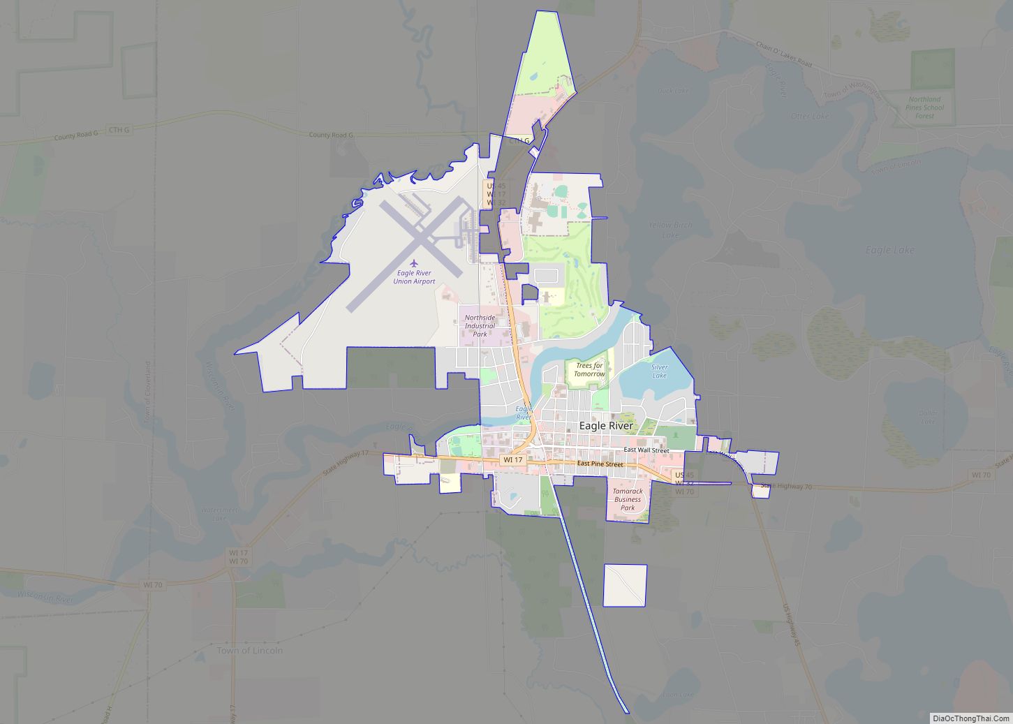
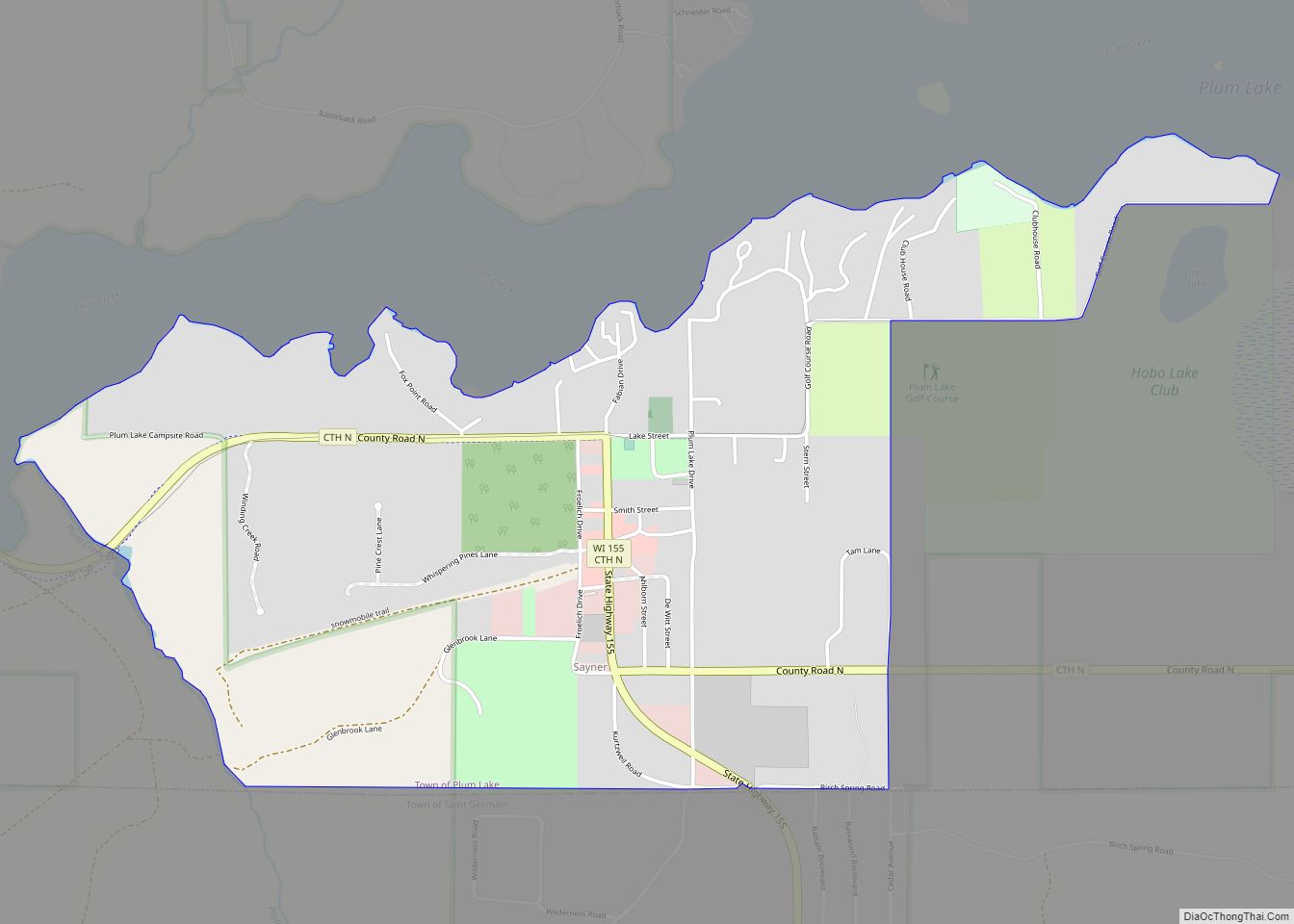
Online Interactive Map
Click on ![]() to view map in "full screen" mode.
to view map in "full screen" mode.
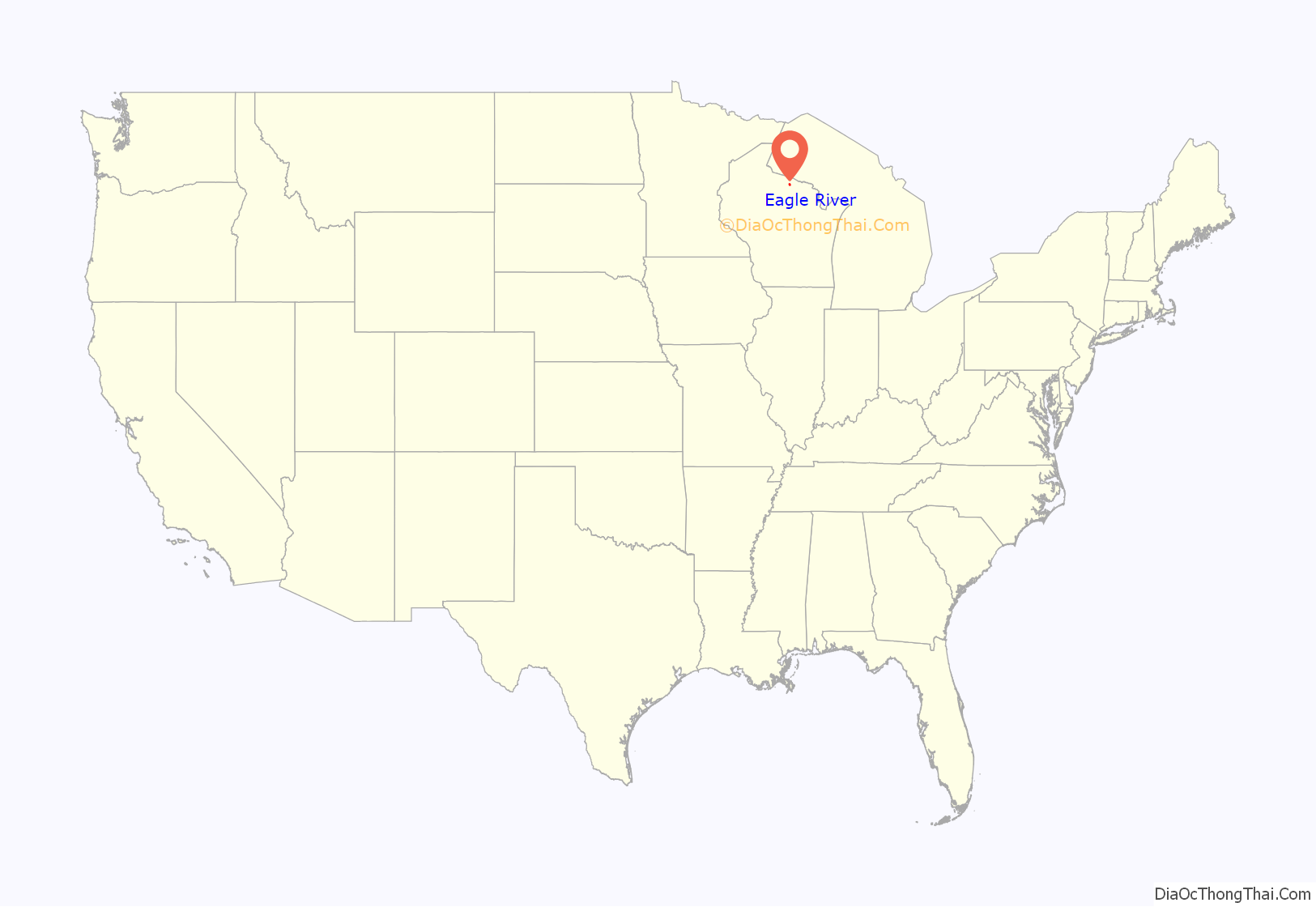
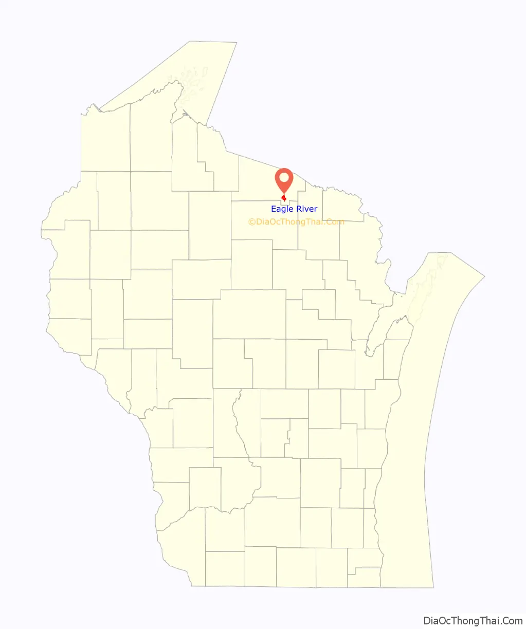
Eagle River location map. Where is Eagle River city?
History
Origins
Eagle River was the site of the first permanent Indian settlement in the Wisconsin Northwoods, located on the shores of Watersmeet Lake where the Wisconsin River and Chain O’ Lakes meet. These early Indians, who were called Old Copper Indians, were succeeded by the Woodland Indians from 2,600 B.C. to 800 A.D. These Indians were probably the ancestors of the Chippewa, Potawatomi, and Menominee.
Founding
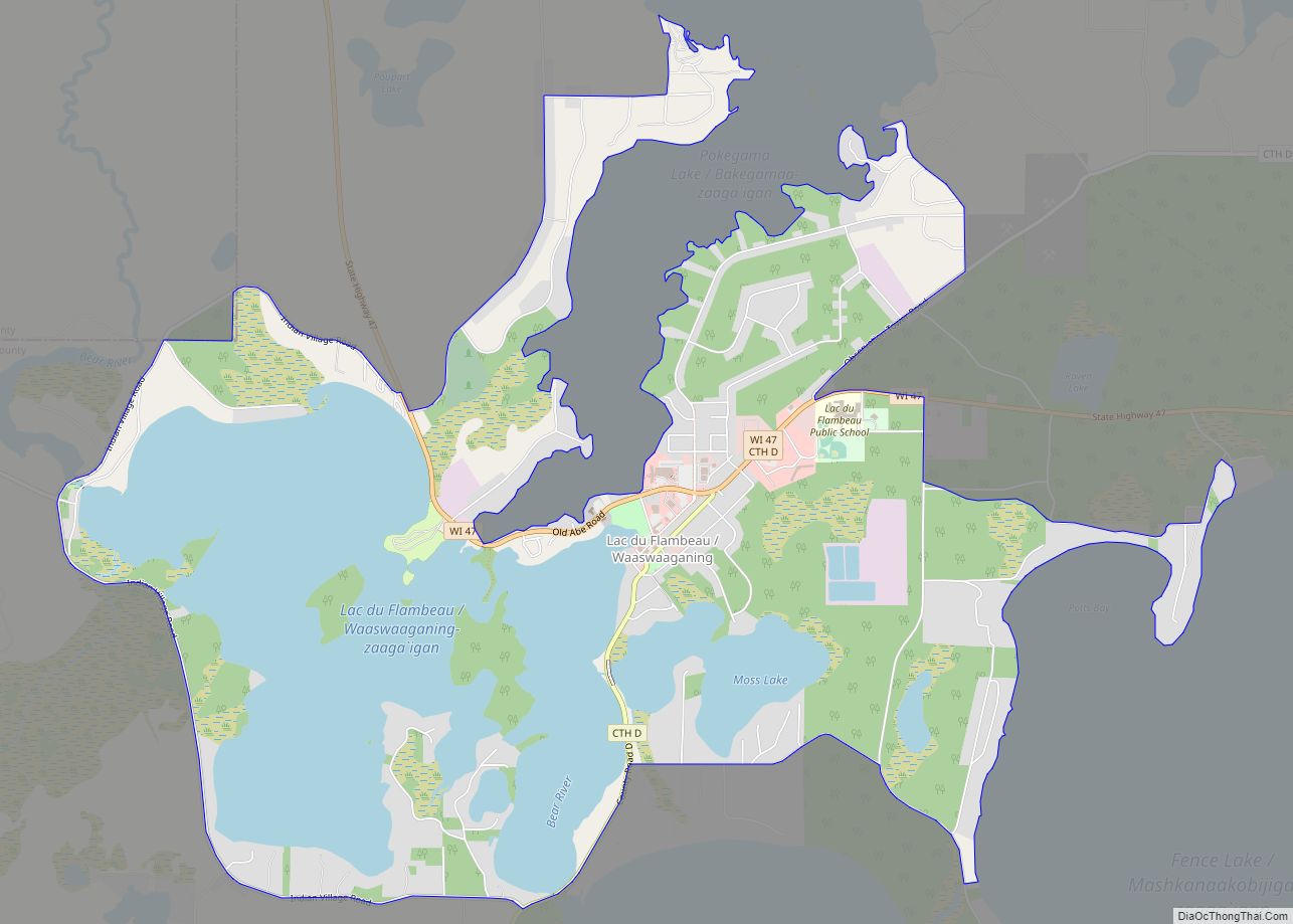
The first recorded white settler in what became Vilas County was a man named Ashman who established a trading post in Lac du Flambeau in 1818. Eagle River’s name was derived from the abundance of eagles nesting along the river. It is believed that Bethuel Draper and “Dutch Pete” Cramer camped in the area in 1853 and were responsible for naming the community. A settlement grew as other families settled in the area in 1857. The town of Eagle River was created by an act of the state legislature in 1885. Vilas County was set off from Oneida County on April 12, 1893 and named for William Freeman Vilas, a migrant from Vermont. Vilas had served for Wisconsin in the United States Senate from 1891 to 1897. In the 1850s migrants from New England, primarily from Vermont and Connecticut, constructed a number of wagon roads and trails through Vilas County including the Ontonogan Mail Trail and a Military Road from Fort Howard to Fort Wilkins in Copper Harbor, Michigan.
Eagle River Road Map
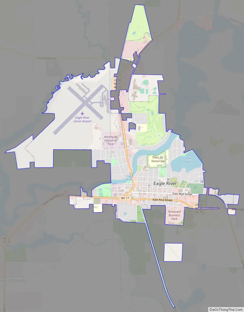
Eagle River city Satellite Map

Geography
Eagle River is located in southeastern Vilas County at 45°55′12″N 89°15′1″W / 45.92000°N 89.25028°W / 45.92000; -89.25028 (45.919902, -89.250210), along the Eagle River, which is part of a popular chain of lakes. The Eagle River/Three Lakes Chain of Lakes is made up of 28 lakes, which is the largest number of inland interconnecting lakes in the world.
According to the United States Census Bureau, the city has a total area of 3.20 square miles (8.29 km), of which, 3.03 square miles (7.85 km) is land and 0.17 square miles (0.44 km) is water.
Climate
Eagle River has a cool humid continental climate (Köppen Dfb), with long, cold winters and short, mild summers. Annually the temperature drops below 32 °F (0 °C) on 190 days, and below 0 °F (-17.8 °C) on 39 days. The comfortable summers result in only one day per year on average with temperatures exceeding 90 °F (32.2 °C).
See also
Map of Wisconsin State and its subdivision:- Adams
- Ashland
- Barron
- Bayfield
- Brown
- Buffalo
- Burnett
- Calumet
- Chippewa
- Clark
- Columbia
- Crawford
- Dane
- Dodge
- Door
- Douglas
- Dunn
- Eau Claire
- Florence
- Fond du Lac
- Forest
- Grant
- Green
- Green Lake
- Iowa
- Iron
- Jackson
- Jefferson
- Juneau
- Kenosha
- Kewaunee
- La Crosse
- Lafayette
- Lake Michigan
- Lake Superior
- Langlade
- Lincoln
- Manitowoc
- Marathon
- Marinette
- Marquette
- Menominee
- Milwaukee
- Monroe
- Oconto
- Oneida
- Outagamie
- Ozaukee
- Pepin
- Pierce
- Polk
- Portage
- Price
- Racine
- Richland
- Rock
- Rusk
- Saint Croix
- Sauk
- Sawyer
- Shawano
- Sheboygan
- Taylor
- Trempealeau
- Vernon
- Vilas
- Walworth
- Washburn
- Washington
- Waukesha
- Waupaca
- Waushara
- Winnebago
- Wood
- Alabama
- Alaska
- Arizona
- Arkansas
- California
- Colorado
- Connecticut
- Delaware
- District of Columbia
- Florida
- Georgia
- Hawaii
- Idaho
- Illinois
- Indiana
- Iowa
- Kansas
- Kentucky
- Louisiana
- Maine
- Maryland
- Massachusetts
- Michigan
- Minnesota
- Mississippi
- Missouri
- Montana
- Nebraska
- Nevada
- New Hampshire
- New Jersey
- New Mexico
- New York
- North Carolina
- North Dakota
- Ohio
- Oklahoma
- Oregon
- Pennsylvania
- Rhode Island
- South Carolina
- South Dakota
- Tennessee
- Texas
- Utah
- Vermont
- Virginia
- Washington
- West Virginia
- Wisconsin
- Wyoming