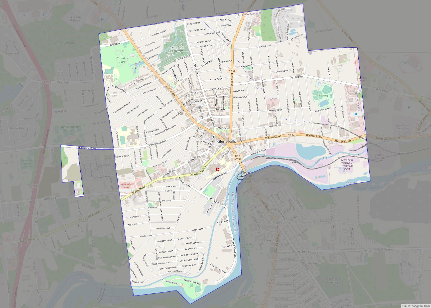
Glens Falls is a city in Warren County, New York, United States and is the central city of the Glens Falls Metropolitan Statistical Area. The population was 14,700 at the 2010 census. The name was given by Colonel Johannes Glen, the falls referring to a large waterfall in the Hudson River at the southern end of the city.
Glens Falls is a city in the southeastern corner of Warren County, surrounded by the town of Queensbury to the north, east, and west, and by the Hudson River and Saratoga County to the south. Glens Falls is known as “Hometown U.S.A.”, a title Look Magazine gave it in 1944. The city has also referred to itself as the “Empire City.”
| Name: | Glens Falls city |
|---|---|
| LSAD Code: | 25 |
| LSAD Description: | city (suffix) |
| State: | New York |
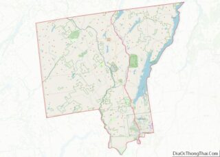
| County: | Warren County |
| Incorporated: | 1839 (village) 1908 (city) |
| Elevation: | 344 ft (105 m) |
| Land Area: | 3.85 sq mi (9.97 km²) |
| Water Area: | 0.14 sq mi (0.36 km²) 2.54% |
| Population Density: | 3,850.95/sq mi (1,486.92/km²) |
| ZIP code: | 12801, 12804 |
| Area code: | 518, 838 |
| FIPS code: | 3629333 |
| GNISfeature ID: | 0951223 |
| Website: | http://www.cityofglensfalls.com |
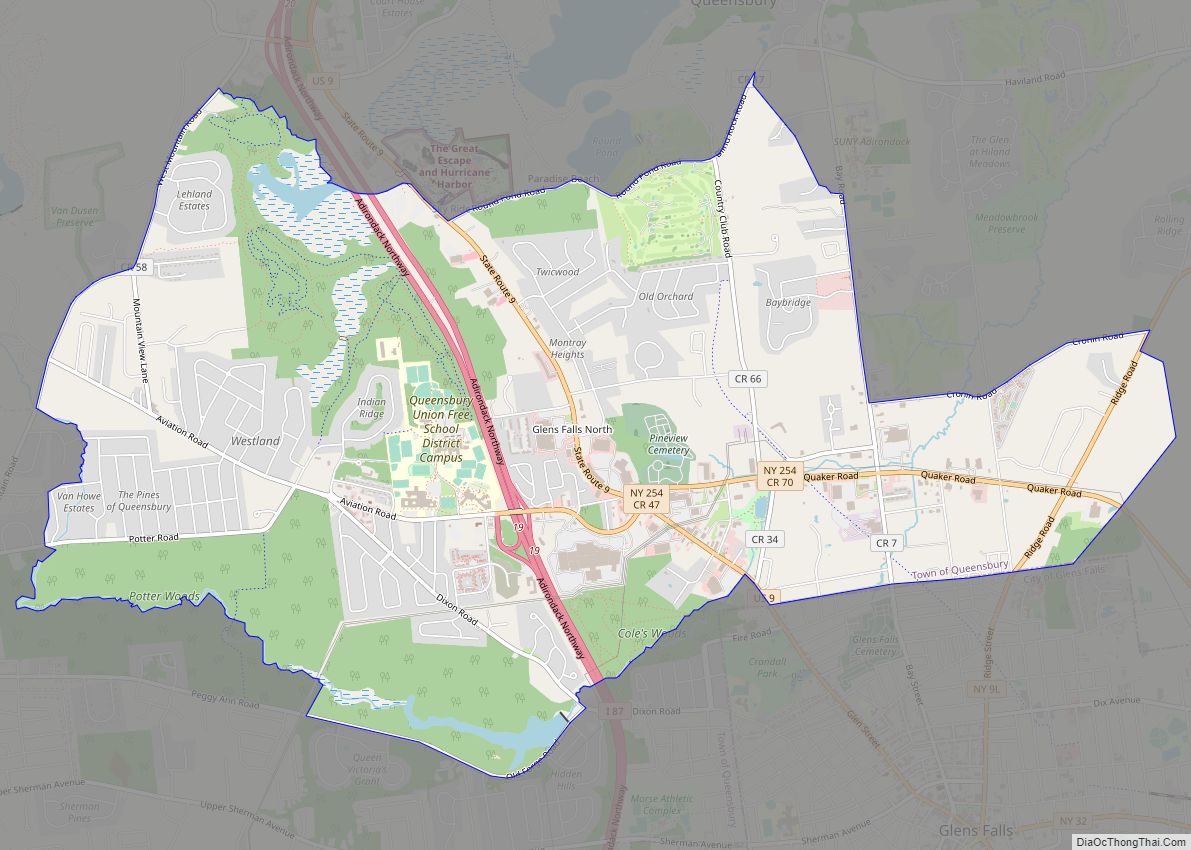
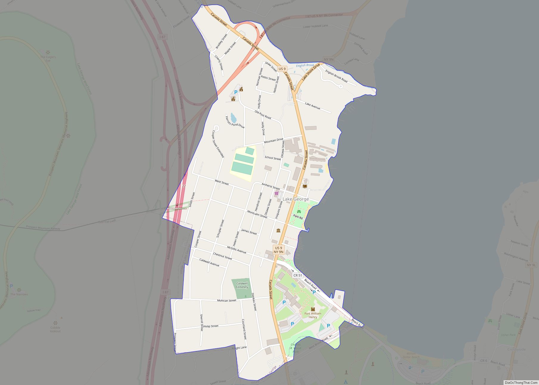
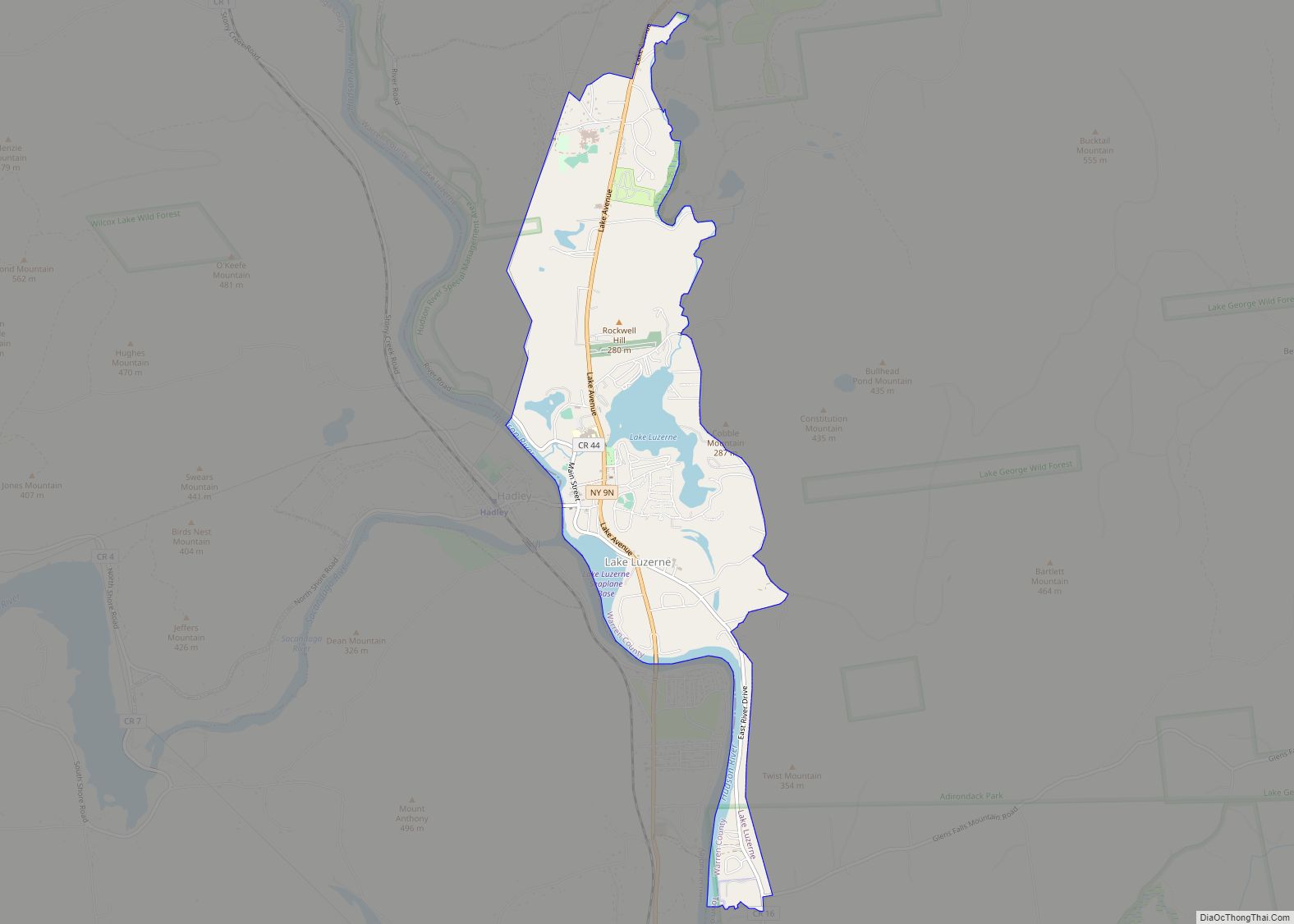
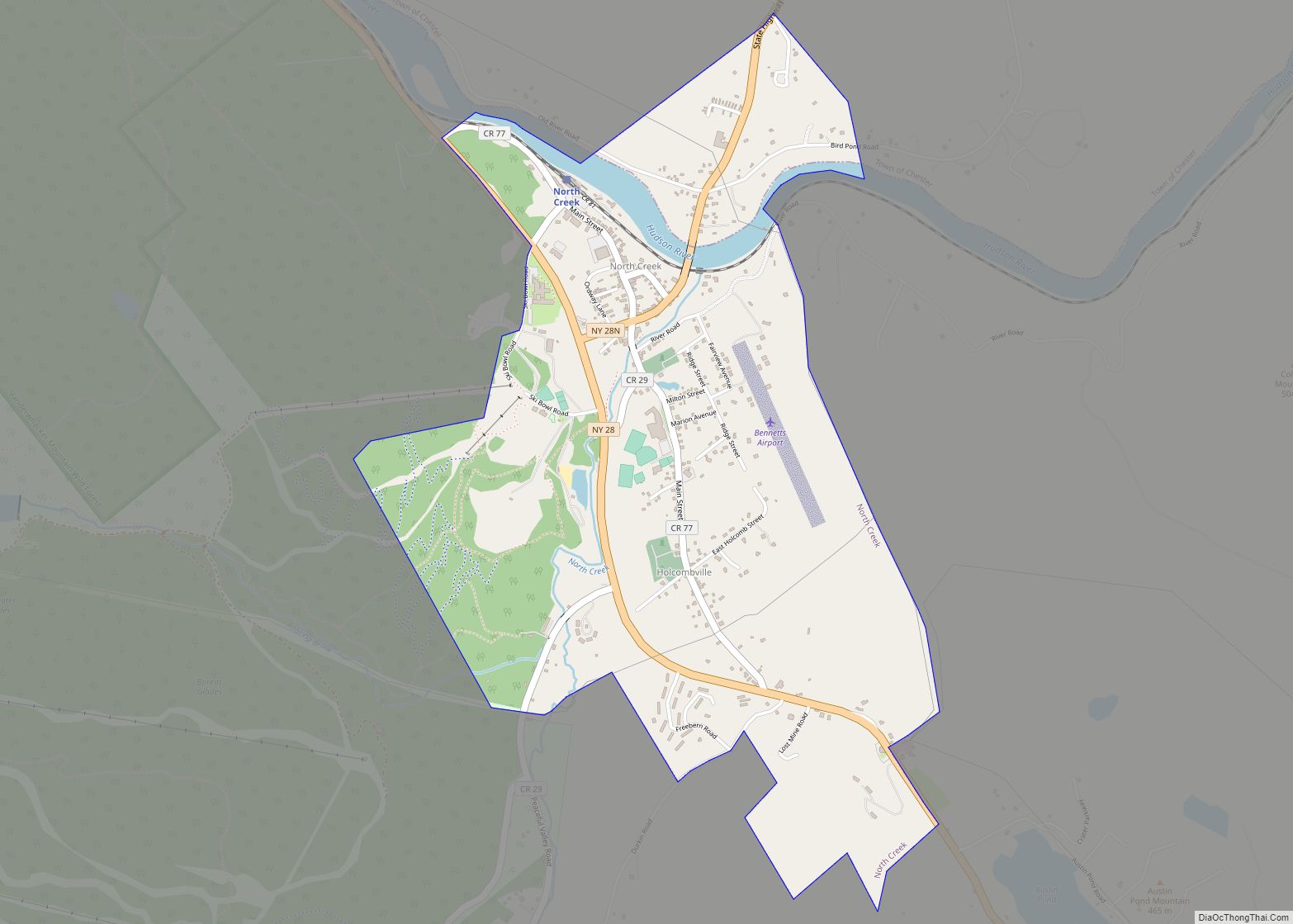
Online Interactive Map
Click on ![]() to view map in "full screen" mode.
to view map in "full screen" mode.
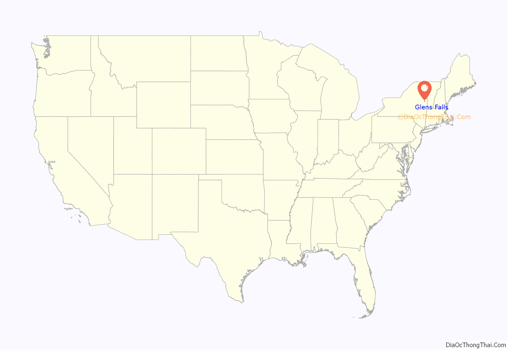
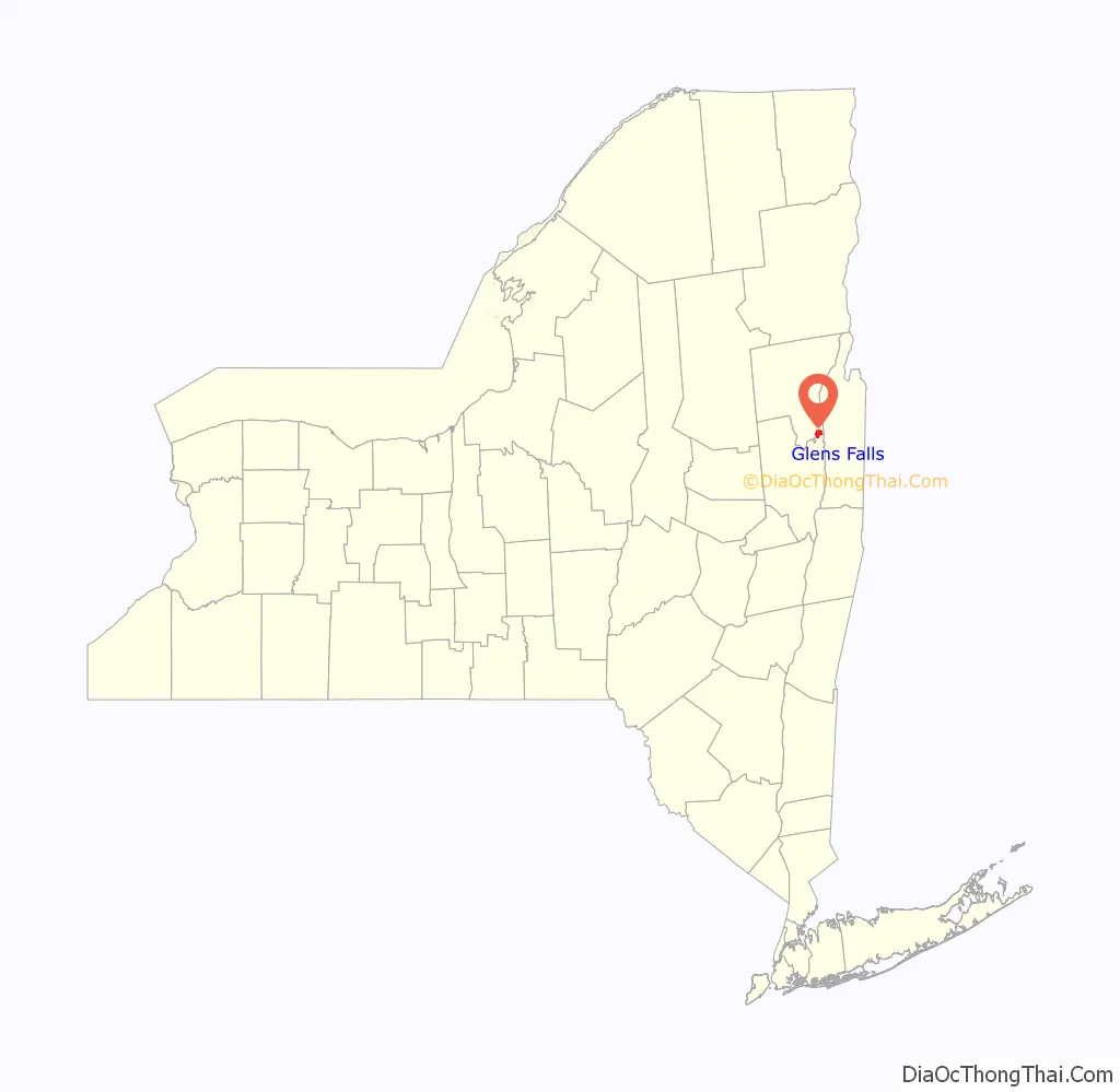
Glens Falls location map. Where is Glens Falls city?
History
As a halfway point between Fort Edward and Fort William Henry, the falls was the site of several battles during the French and Indian War and the Revolutionary War. The then-hamlet was mostly destroyed by fire twice during the latter conflict, forcing the Quakers to abandon the settlement until the war ended in 1783. Fire also ravaged the village in 1864, 1884, and 1902.
The area was originally called Chepontuc (Iroquois; “difficult place to get around”), also referred to as the “Great Carrying Place,” but was renamed “The Corners” by European-American settlers. In 1766 it was renamed Wing’s Falls for Abraham Wing – the leader of the group of Quakers who established the permanent settlement – and for the falls on the Hudson River. Wing’s claim to the name of the falls and the hamlet was transferred to Colonel Johannes Glen of Schenectady in 1788, either on collection of a debt, as a result of a game of cards, or in exchange for hosting a party for mutual friends, depending on which local legend is believed. Colonel Glen changed the name to “Glen’s Falls,” though it was often printed with varying spelling such as “Glenn’s,” or “Glens”. The spelling “Glens Falls” came to be the common usage.
A post office was established in 1808. Glens Falls became an incorporated village in 1839, and was re-incorporated in 1874 and 1887, expanding the village to what would become the city limits when the state legislature granted the city charter in 1908, at which time the city became independent from the town of Queensbury.
In 2003, with permission from Queensbury, Glens Falls annexed approximately 49 acres (0.20 km) of the town. The land, known as Veterans Field or the Northway Industrial Park, is on Veterans Road between Luzerne Road and Sherman Avenue and is just east of I-87. The land was vacant at the time. A thin, 0.5 miles (0.80 km) strip of Sherman Avenue was part of this annexation, to comply with state law on contiguity of annexed land. As a result, the city and town share co-own this stretch of highway.
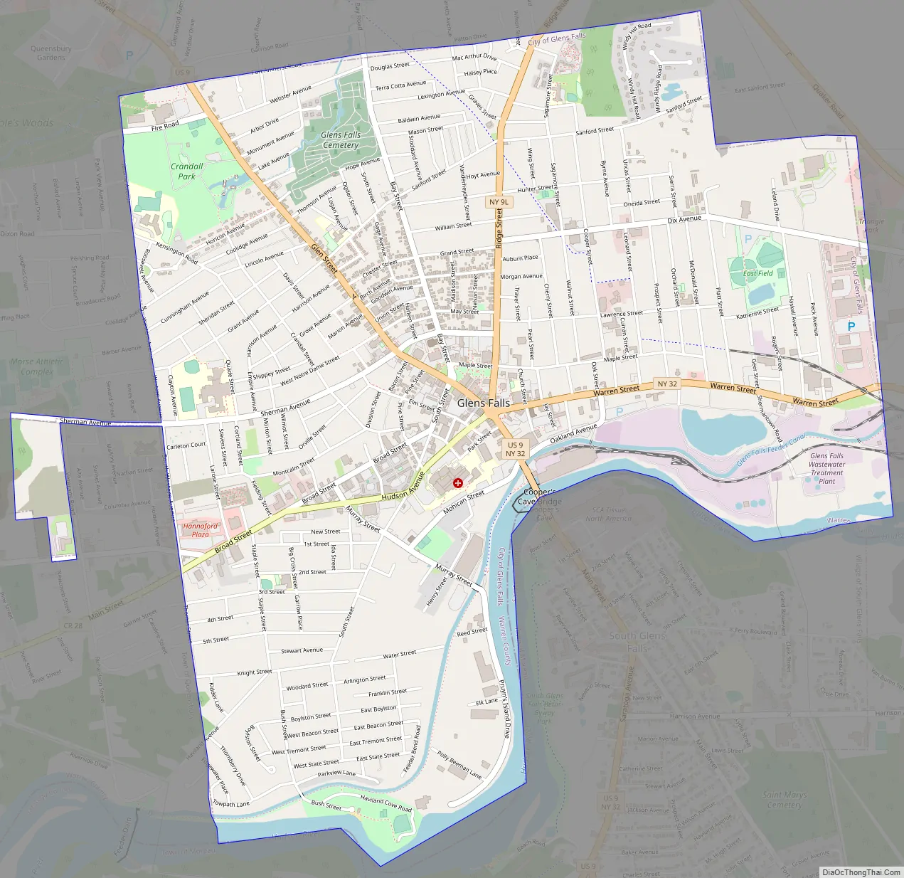
Glens Falls Road Map
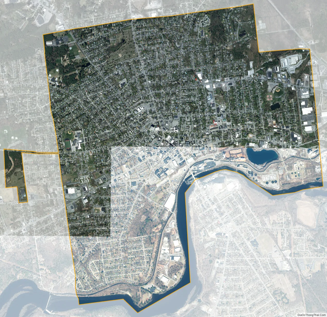
Glens Falls city Satellite Map
Geography
According to the United States Census Bureau, the city has an area of 3.9 square miles (10 km), of which 3.8 square miles (9.8 km) is land and 0.1 square miles (0.26 km) (2.54%) is water.
The city is on the Hudson River, in the Adirondack foothills, at the border of Saratoga County.
- ^ Mean monthly maxima and minima (i.e. the expected highest and lowest temperature readings at any point during the year or given month) calculated based on data at said location from 1981 to 2010.
See also
Map of New York State and its subdivision:- Albany
- Allegany
- Bronx
- Broome
- Cattaraugus
- Cayuga
- Chautauqua
- Chemung
- Chenango
- Clinton
- Columbia
- Cortland
- Delaware
- Dutchess
- Erie
- Essex
- Franklin
- Fulton
- Genesee
- Greene
- Hamilton
- Herkimer
- Jefferson
- Kings
- Lake Ontario
- Lewis
- Livingston
- Madison
- Monroe
- Montgomery
- Nassau
- New York
- Niagara
- Oneida
- Onondaga
- Ontario
- Orange
- Orleans
- Oswego
- Otsego
- Putnam
- Queens
- Rensselaer
- Richmond
- Rockland
- Saint Lawrence
- Saratoga
- Schenectady
- Schoharie
- Schuyler
- Seneca
- Steuben
- Suffolk
- Sullivan
- Tioga
- Tompkins
- Ulster
- Warren
- Washington
- Wayne
- Westchester
- Wyoming
- Yates
- Alabama
- Alaska
- Arizona
- Arkansas
- California
- Colorado
- Connecticut
- Delaware
- District of Columbia
- Florida
- Georgia
- Hawaii
- Idaho
- Illinois
- Indiana
- Iowa
- Kansas
- Kentucky
- Louisiana
- Maine
- Maryland
- Massachusetts
- Michigan
- Minnesota
- Mississippi
- Missouri
- Montana
- Nebraska
- Nevada
- New Hampshire
- New Jersey
- New Mexico
- New York
- North Carolina
- North Dakota
- Ohio
- Oklahoma
- Oregon
- Pennsylvania
- Rhode Island
- South Carolina
- South Dakota
- Tennessee
- Texas
- Utah
- Vermont
- Virginia
- Washington
- West Virginia
- Wisconsin
- Wyoming