The Village of Lake George is a village within the town of Lake George in Warren County, New York, United States, located at the southern end of its namesake lake. The population was 906 at the 2010 census. It is part of the Glens Falls Metropolitan Statistical Area. The village and the surrounding area is a famous summertime tourist region and historic summer colony, which at one time included Alfred Stieglitz and Georgia O’Keeffe.
Lake George was the county seat of Warren County until 1963, when the county seat was moved to Queensbury.
| Name: | Lake George village |
|---|---|
| LSAD Code: | 47 |
| LSAD Description: | village (suffix) |
| State: | New York |
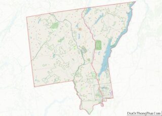
| County: | Warren County |
| Founded: | 1903 |
| Elevation: | 360 ft (110 m) |
| Total Area: | 0.59 sq mi (1.52 km²) |
| Land Area: | 0.59 sq mi (1.52 km²) |
| Water Area: | 0.00 sq mi (0.00 km²) |
| Total Population: | 1,008 |
| Population Density: | 1,720.14/sq mi (664.10/km²) |
| ZIP code: | 12845 |
| Area code: | 518 |
| FIPS code: | 3640508 |
| GNISfeature ID: | 0954913 |
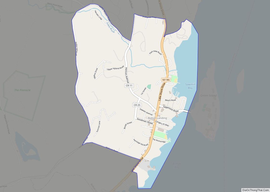
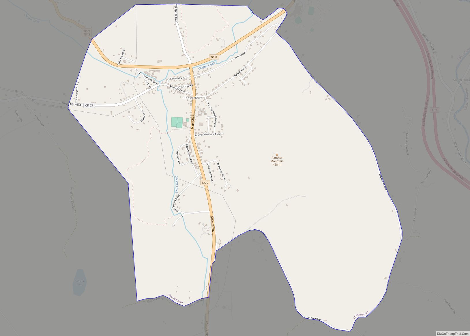
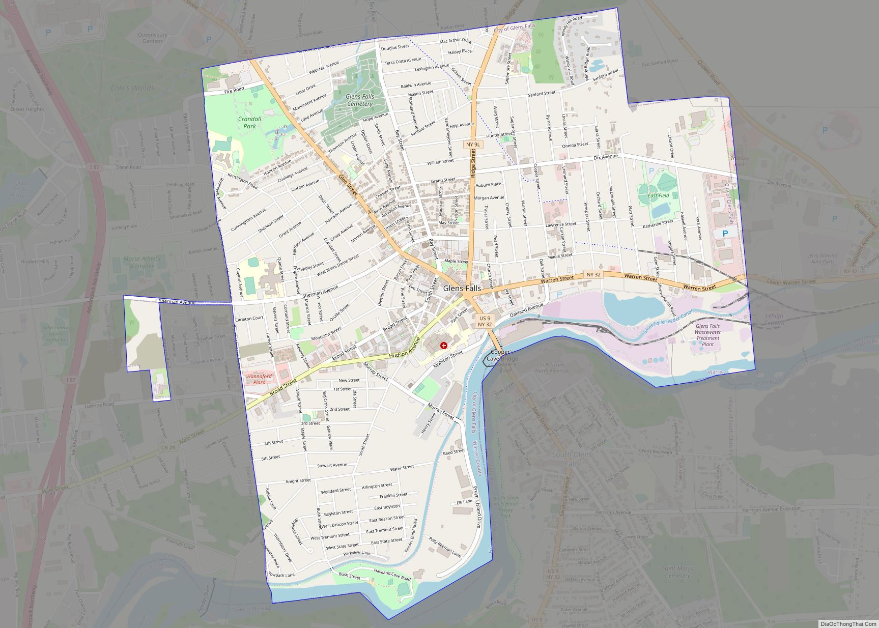
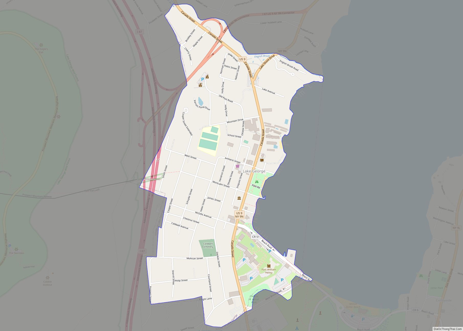
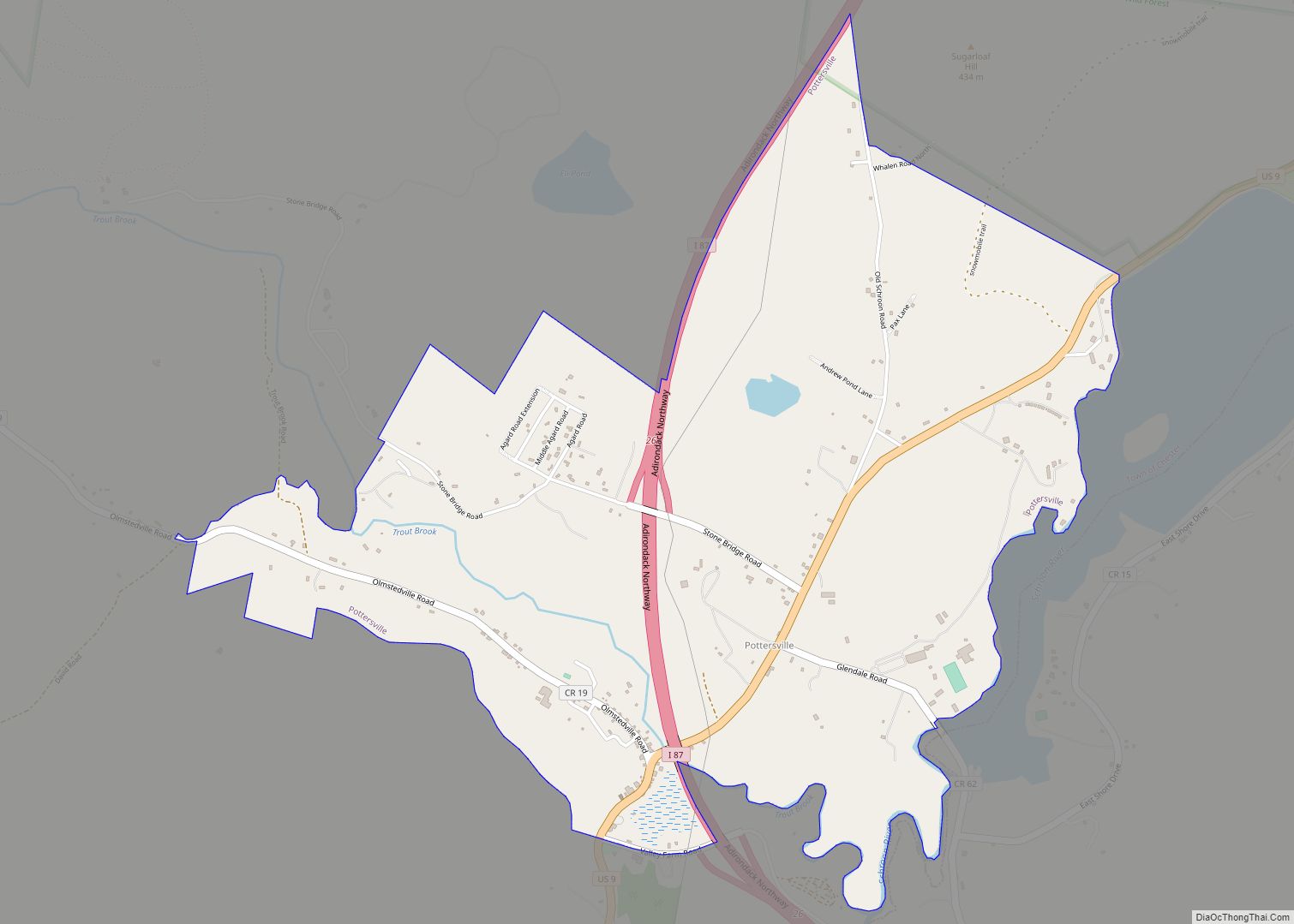
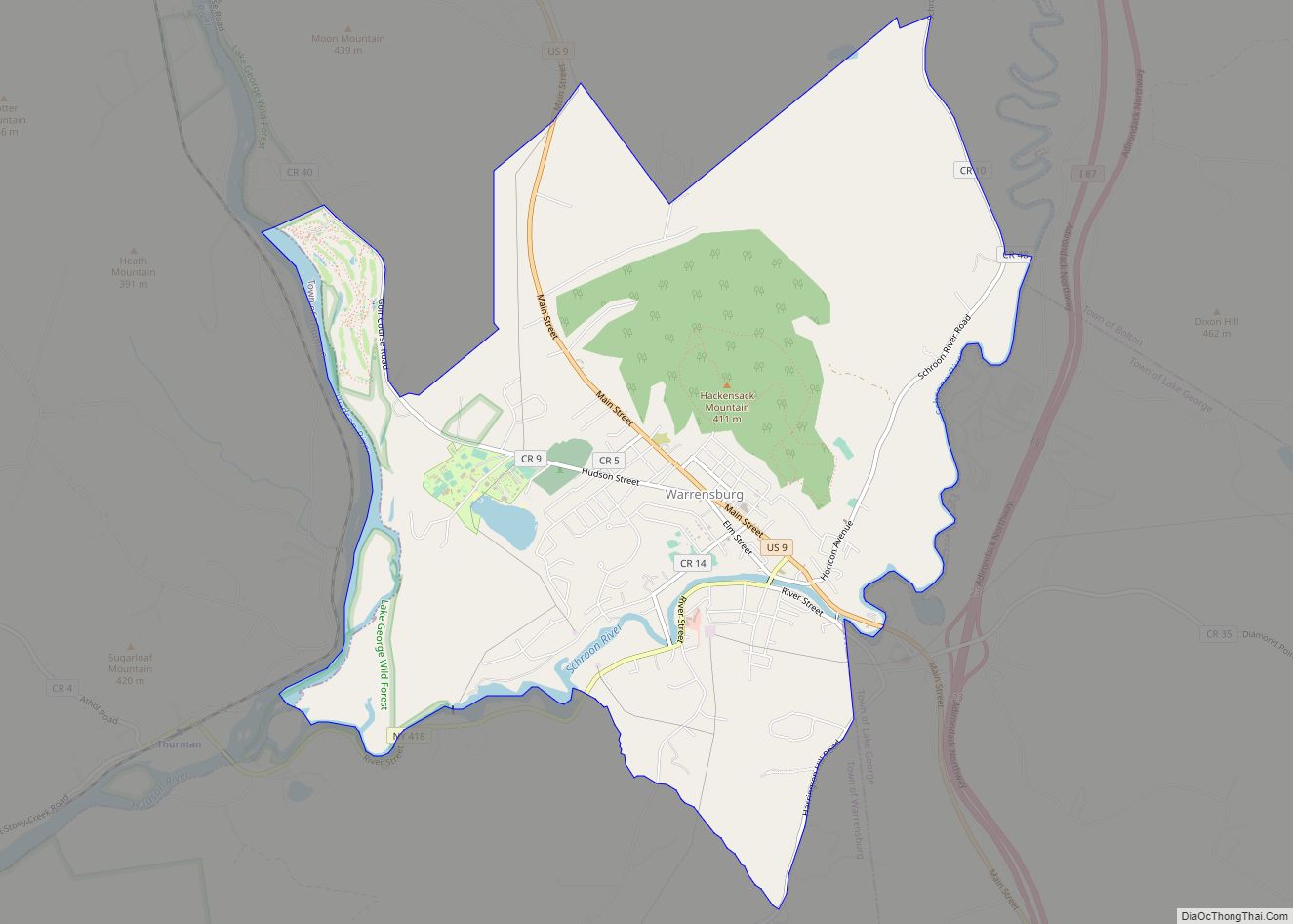
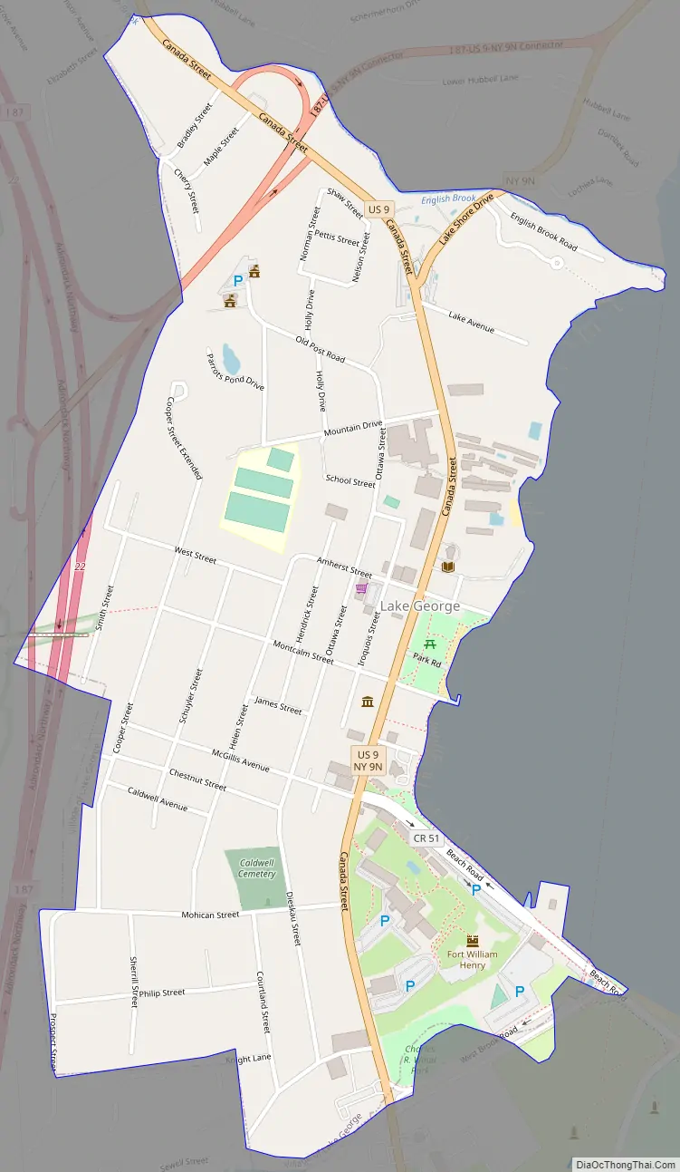
Online Interactive Map
Click on ![]() to view map in "full screen" mode.
to view map in "full screen" mode.
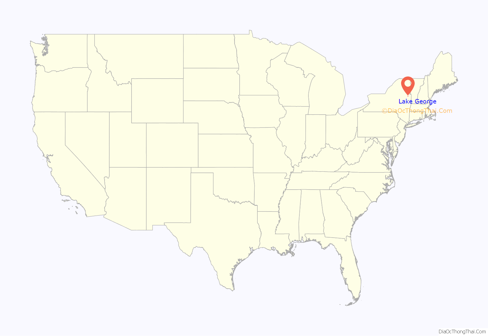
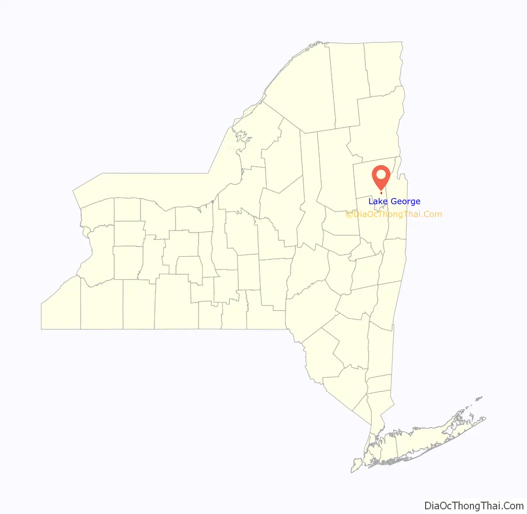
Lake George location map. Where is Lake George village?
History
The village of Lake George was originally known as Caldwell, a name preserved in the Caldwell Presbyterian Church. Located on the southern end of Lake George within the eastern edge of the Adirondack Park, the village and surrounding area were on the route between the British and French colonies, and were often traversed by military forces during the Colonial wars. A reconstruction of Fort William Henry, which replaces the original burned during the French and Indian War, is within the village and serves as a living museum.
In the last quarter of the 19th century the area began to become an important tourist destination. Railroad tracks ran onto the steamboat docks on the south end of Lake George. From there steamboats ran several times a day to the hotels further north on the lake. The Lake George Steamboat Company continues to operate steamboats out of Lake George.
The Village of Lake George was incorporated in 1903. Besides the fort with its many associations, historic points of interest include the defunct railway station and a 19th-century courthouse and jail, now operated as a museum by the local historical society. The beach at one motel in the village features a plaque marking the site where the Marquis de Montcalm landed with his army preparatory to attacking the fort. A plaque at the site of the Bloody Pond Massacre is a short distance south of the village along US 9.
Lake George Road Map
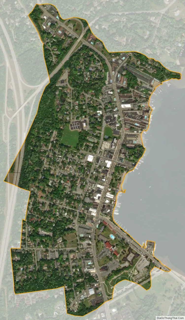
Lake George city Satellite Map
Geography
According to the United States Census Bureau, the village has a total area of 0.6 square miles (1.6 km), all land. It is situated beside Lake George. The village is located approximately 50 miles (80 km) north of Albany and about 200 miles (320 km) north of New York City and northwest of Boston, Massachusetts.
See also
Map of New York State and its subdivision:- Albany
- Allegany
- Bronx
- Broome
- Cattaraugus
- Cayuga
- Chautauqua
- Chemung
- Chenango
- Clinton
- Columbia
- Cortland
- Delaware
- Dutchess
- Erie
- Essex
- Franklin
- Fulton
- Genesee
- Greene
- Hamilton
- Herkimer
- Jefferson
- Kings
- Lake Ontario
- Lewis
- Livingston
- Madison
- Monroe
- Montgomery
- Nassau
- New York
- Niagara
- Oneida
- Onondaga
- Ontario
- Orange
- Orleans
- Oswego
- Otsego
- Putnam
- Queens
- Rensselaer
- Richmond
- Rockland
- Saint Lawrence
- Saratoga
- Schenectady
- Schoharie
- Schuyler
- Seneca
- Steuben
- Suffolk
- Sullivan
- Tioga
- Tompkins
- Ulster
- Warren
- Washington
- Wayne
- Westchester
- Wyoming
- Yates
- Alabama
- Alaska
- Arizona
- Arkansas
- California
- Colorado
- Connecticut
- Delaware
- District of Columbia
- Florida
- Georgia
- Hawaii
- Idaho
- Illinois
- Indiana
- Iowa
- Kansas
- Kentucky
- Louisiana
- Maine
- Maryland
- Massachusetts
- Michigan
- Minnesota
- Mississippi
- Missouri
- Montana
- Nebraska
- Nevada
- New Hampshire
- New Jersey
- New Mexico
- New York
- North Carolina
- North Dakota
- Ohio
- Oklahoma
- Oregon
- Pennsylvania
- Rhode Island
- South Carolina
- South Dakota
- Tennessee
- Texas
- Utah
- Vermont
- Virginia
- Washington
- West Virginia
- Wisconsin
- Wyoming