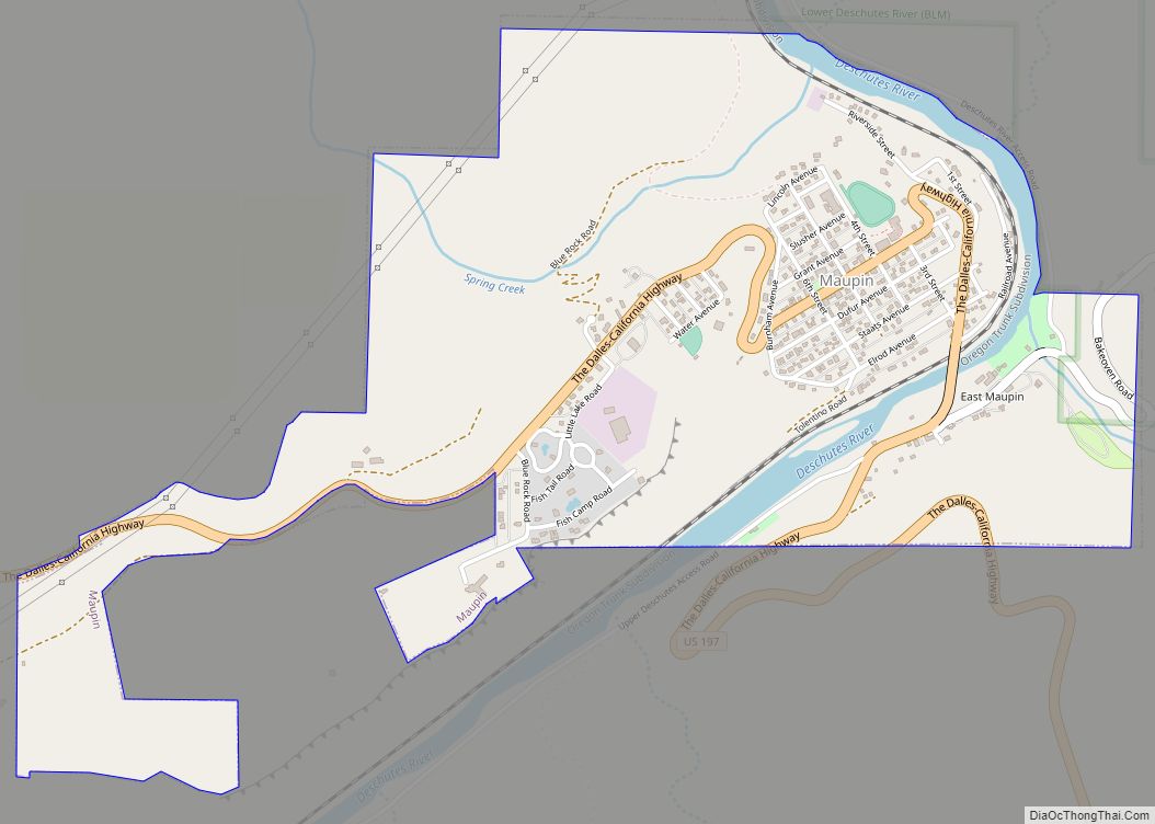
Antelope (known as Rajneesh from 1984 to 1986) is a town in rural Wasco County, Oregon, United States. Antelope had an estimated population of 47 people in 2012.
| Name: | Antelope city |
|---|---|
| LSAD Code: | 25 |
| LSAD Description: | city (suffix) |
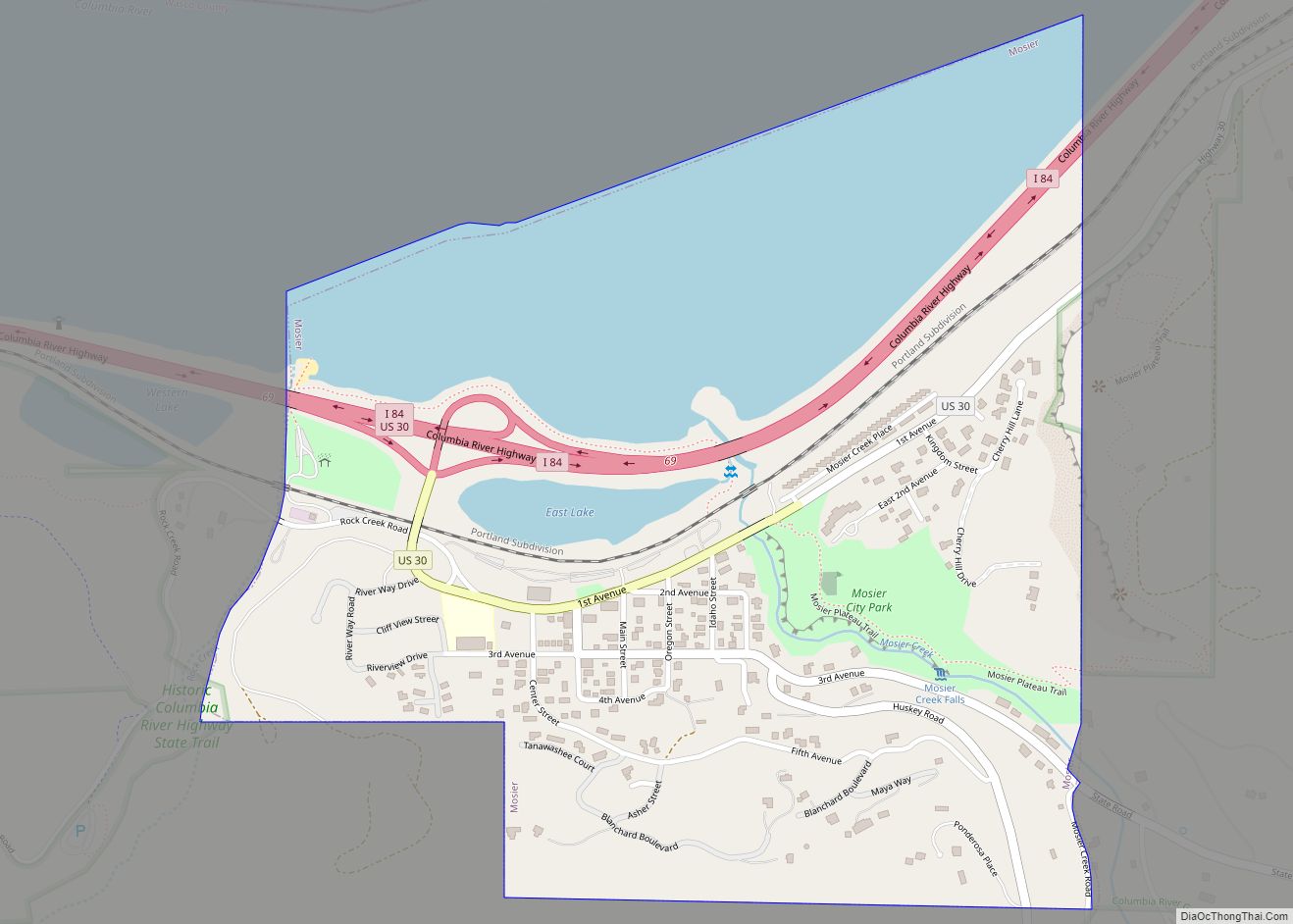
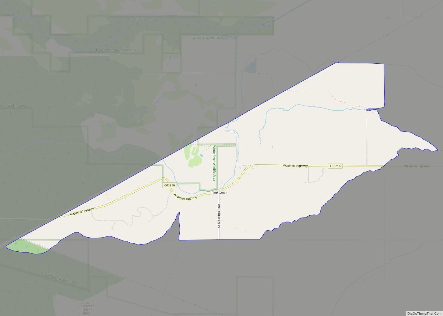
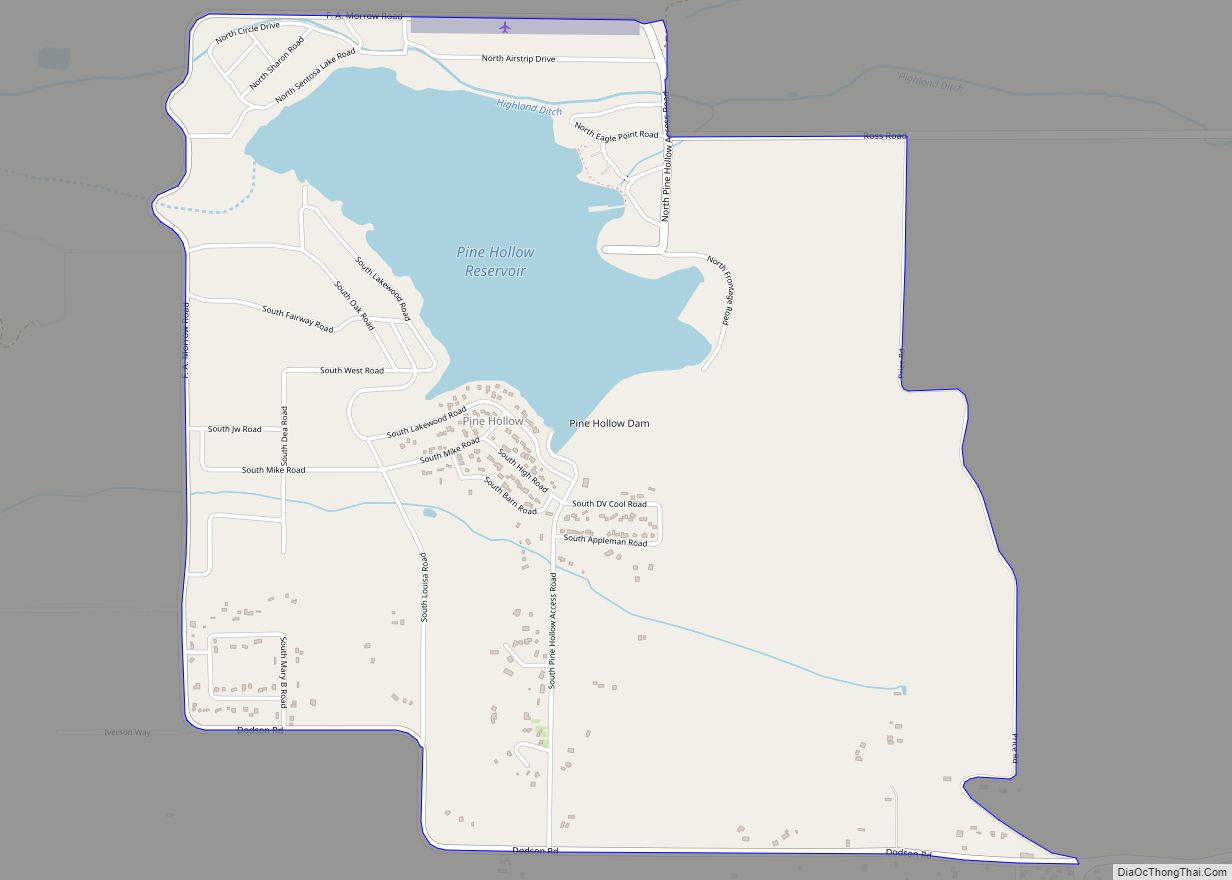
| State: | Oregon |
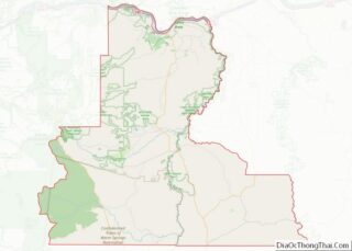
| County: | Wasco County |
| Incorporated: | 1901 |
| Elevation: | 2,654 ft (809 m) |
| Total Area: | 0.46 sq mi (1.19 km²) |
| Land Area: | 0.46 sq mi (1.19 km²) |
| Water Area: | 0.00 sq mi (0.00 km²) |
| Total Population: | 37 |
| Population Density: | 80.26/sq mi (30.96/km²) |
| ZIP code: | 97001 |
| Area code: | 541 |
| FIPS code: | 4102250 |
| GNISfeature ID: | 1116966 |
| Website: | cityofantelope.us |
Online Interactive Map
Click on ![]() to view map in "full screen" mode.
to view map in "full screen" mode.
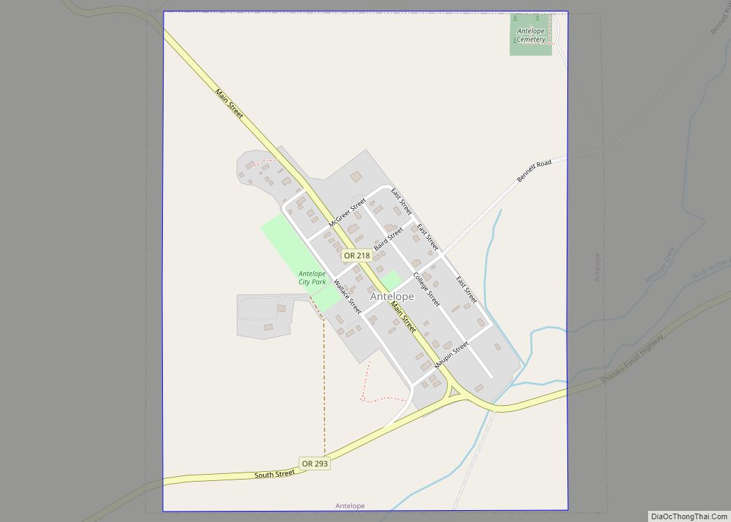
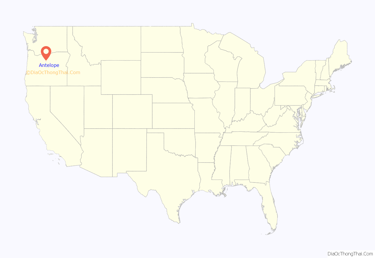
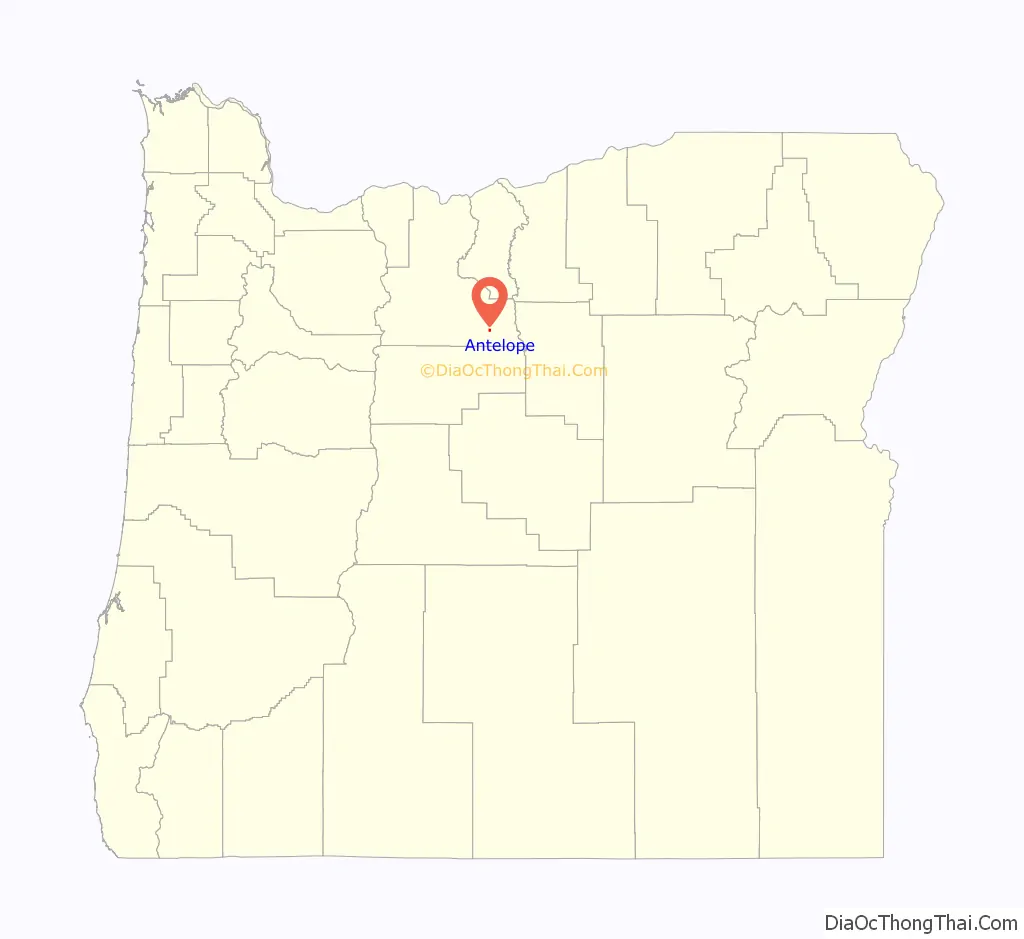
Antelope location map. Where is Antelope city?
History
The Antelope Valley was probably named by European-American members of Joseph Sherar’s party, who were packing supplies to mines in the John Day area. Sherar became known as the operator of a toll bridge across the Deschutes River, on a cut-off of the Barlow Road. In the early 19th century, the area supported many pronghorns, which are not true antelopes, but are often called “pronghorn antelopes”.
18th century beginnings
In the mid-19th century, Antelope began as a station along the wagon road connecting The Dalles on the Columbia River with gold mines near Canyon City. After about 1870, the wagon road became known as The Dalles Military Road. The road crossed the Deschutes River on Sherar’s Bridge.
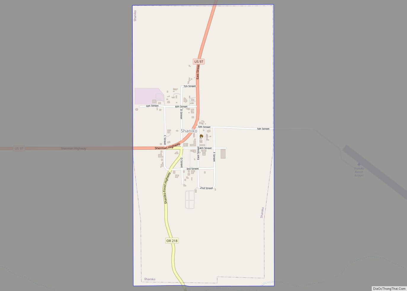
The Antelope post office was established in 1871, with Howard Maupin, founder of Maupin, Oregon, as the first postmaster. The town’s population peaked around 1900, shortly after the Columbia Southern Railway completed a 70-mile (110 km) rail line from Biggs, on the Columbia River, to Shaniko, a few miles north of Antelope. The railroad timetable for September 9, 1900, lists a daily stagecoach run from the train terminal in Shaniko to Antelope and beyond. Antelope was incorporated by the Oregon Legislative Assembly on January 29, 1901.
Rajneesh movement takeover
Rajneeshpuram, a commune founded by the Rajneesh movement, was established near the town in 1981. On September 18, 1984, a vote was held and the city was renamed to “Rajneesh”, after Rajneeshees registered to vote in Antelope en masse and took control of the council.
The organization collapsed in 1985 following the discovery by the authorities of criminal activities, such as the 1984 Rajneeshee bioterror attack. On November 6, 1985, the remaining residents, which included both original residents and some remaining Rajneeshees, voted 34 to 0 to restore the original name, and it was subsequently restored in 1986. The U.S. Postal Service had never recognized the change of name.
Subsequent to the collapse of the commune, the property reverted to ownership by the State of Oregon for non-payment of taxes, and was sold to Montana billionaire Dennis Washington in 1991 for $3.65 million. Currently, the ranch, 18 miles (29 km) from Antelope, is operated by Young Life, a Christian parachurch organization, as a Christian youth camp known as “Washington Family Ranch”.
The events of the mid-1980s that involved the city were the subject of the 2003 Forensic Files program “Bio Attack” and the 2018 Netflix documentary Wild Wild Country.
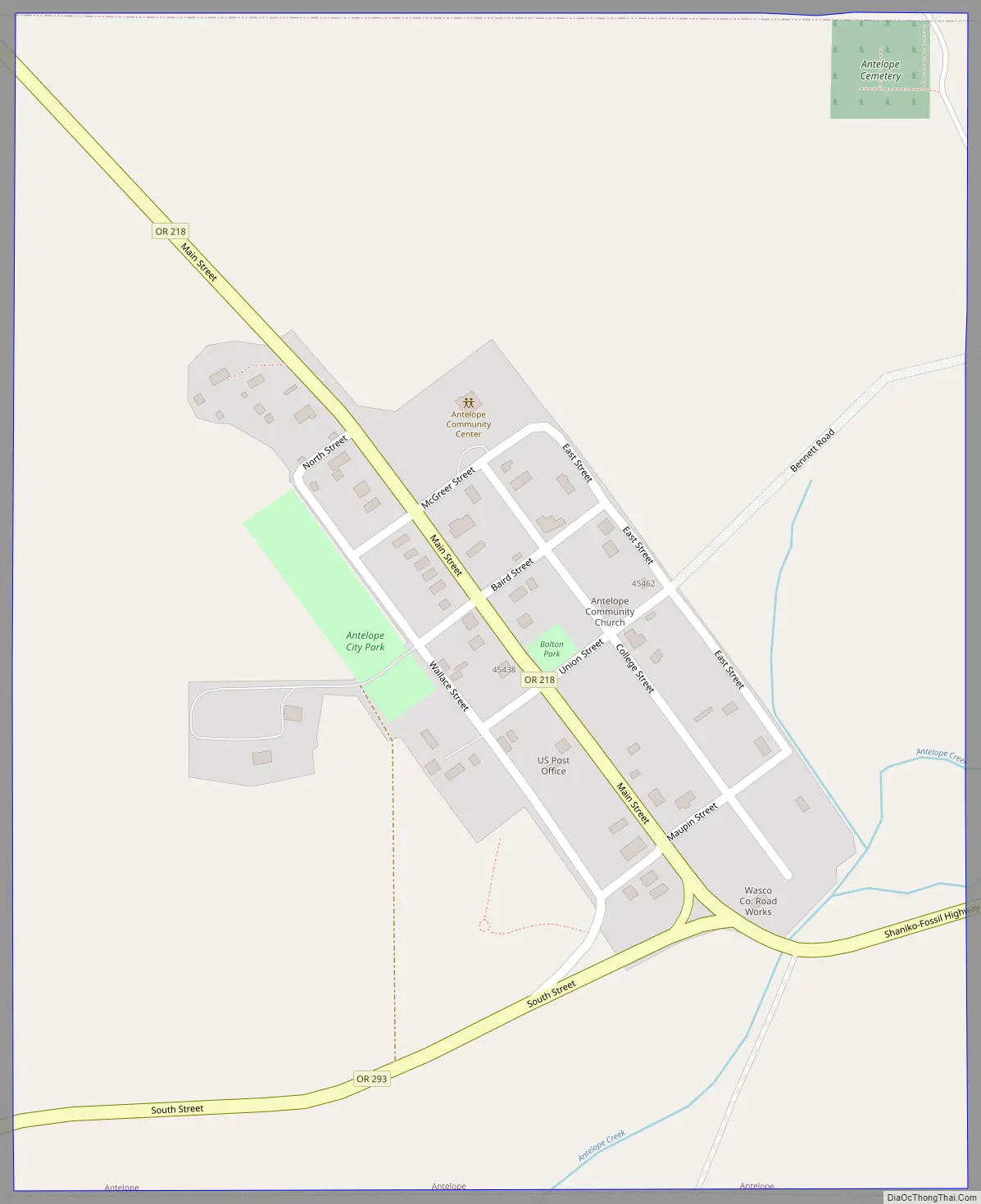
Antelope Road Map
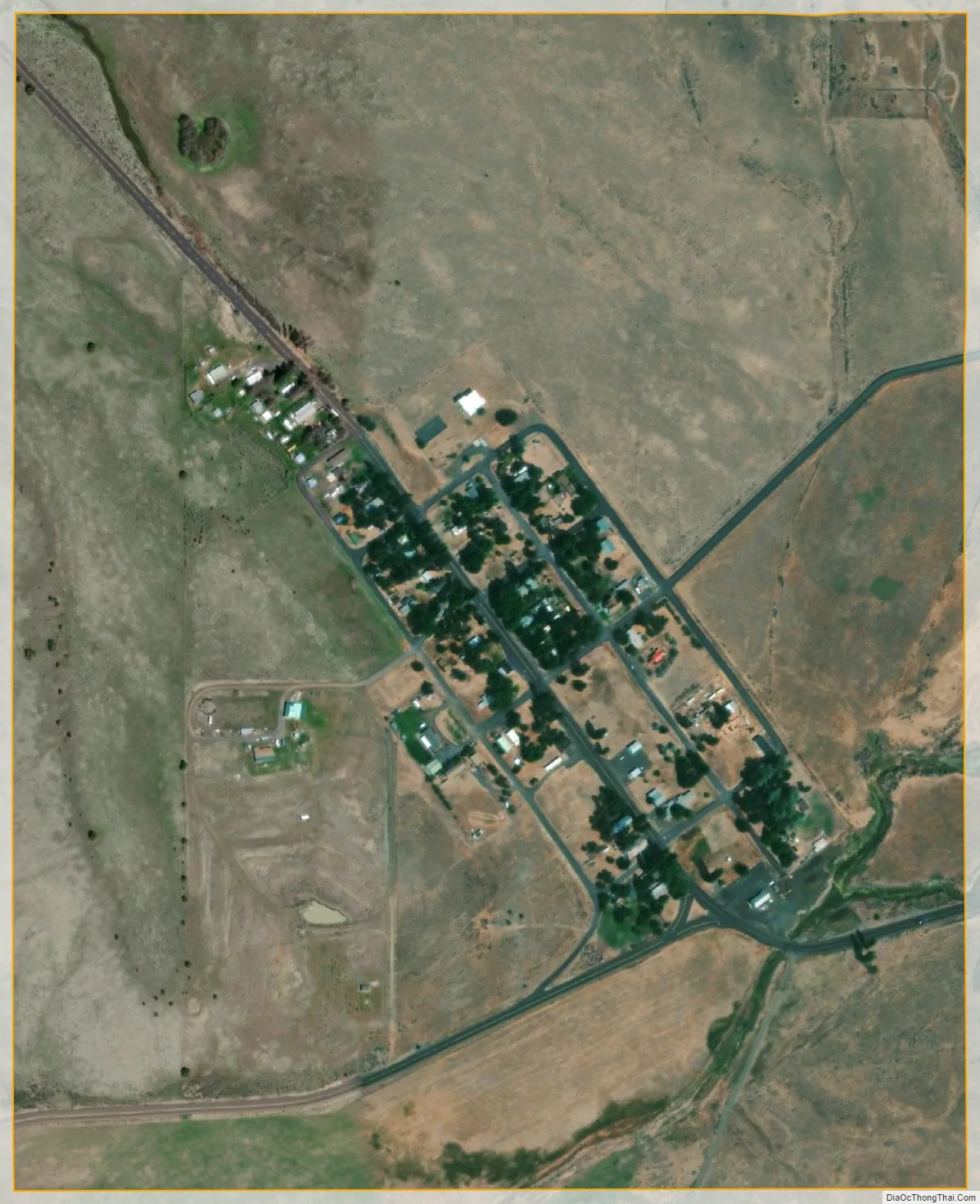
Antelope city Satellite Map
Geography
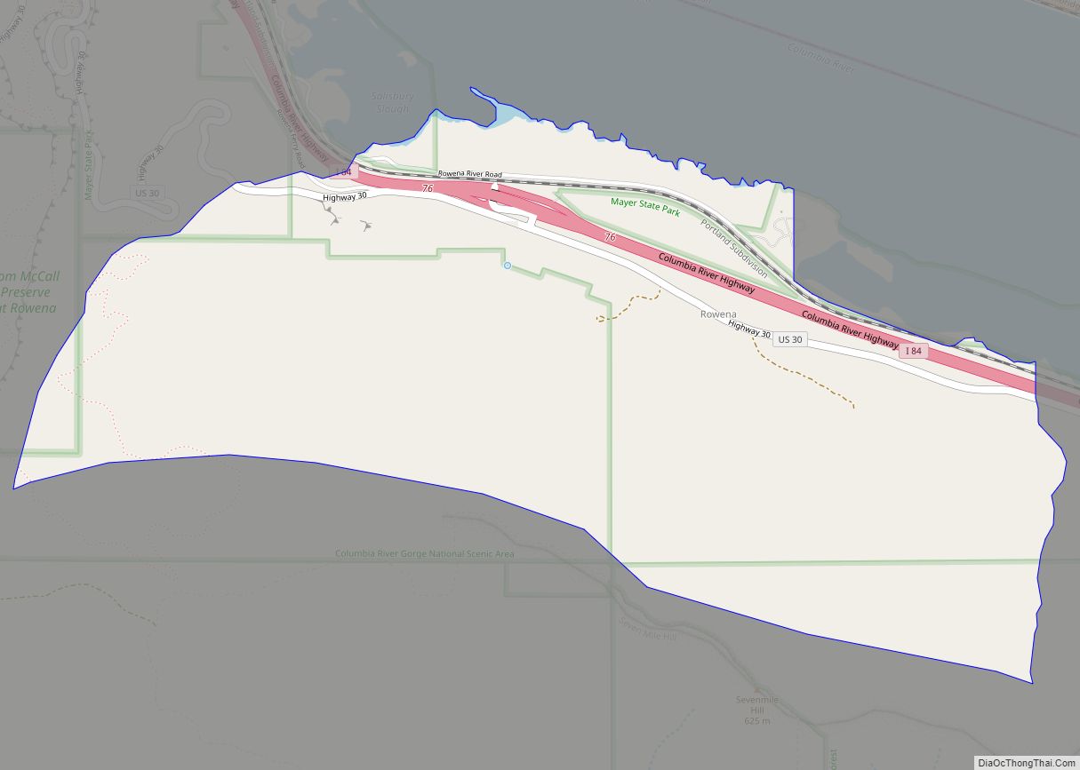
Antelope, in Wasco County in north-central Oregon, is along Oregon Route 218 just north of its intersection with Oregon Route 293. By highway, the city is 34 miles (55 km) northeast of Madras and 143 miles (230 km) east of Portland. Antelope Creek, in the Deschutes River watershed, flows by Antelope.
The city is at an elevation of 2,654 feet (809 m) above sea level. According to the United States Census Bureau, the city has a total area of 0.48 square miles (1.24 km), all of it land.
See also
Map of Oregon State and its subdivision: Map of other states:- Alabama
- Alaska
- Arizona
- Arkansas
- California
- Colorado
- Connecticut
- Delaware
- District of Columbia
- Florida
- Georgia
- Hawaii
- Idaho
- Illinois
- Indiana
- Iowa
- Kansas
- Kentucky
- Louisiana
- Maine
- Maryland
- Massachusetts
- Michigan
- Minnesota
- Mississippi
- Missouri
- Montana
- Nebraska
- Nevada
- New Hampshire
- New Jersey
- New Mexico
- New York
- North Carolina
- North Dakota
- Ohio
- Oklahoma
- Oregon
- Pennsylvania
- Rhode Island
- South Carolina
- South Dakota
- Tennessee
- Texas
- Utah
- Vermont
- Virginia
- Washington
- West Virginia
- Wisconsin
- Wyoming