Summit is a village in Waukesha County, Wisconsin, United States. The population was 4,784 at the 2020 census. The former unincorporated communities of Summit Center, Summit Corners, and Waterville are located in the village.
| Name: | Summit village |
|---|---|
| LSAD Code: | 47 |
| LSAD Description: | village (suffix) |
| State: | Wisconsin |
| County: | Waukesha County |
| Elevation: | 863 ft (263 m) |
| Total Area: | 24.01 sq mi (62.20 km²) |
| Land Area: | 21.00 sq mi (54.39 km²) |
| Water Area: | 3.01 sq mi (7.80 km²) |
| Total Population: | 4,784 |
| Population Density: | 240.04/sq mi (92.68/km²) |
| ZIP code: | 53066 |
| Area code: | 262 |
| FIPS code: | 5578375 |
| GNISfeature ID: | 1584250 |
| Website: | summitvillage.org |
Online Interactive Map
Click on ![]() to view map in "full screen" mode.
to view map in "full screen" mode.
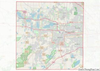
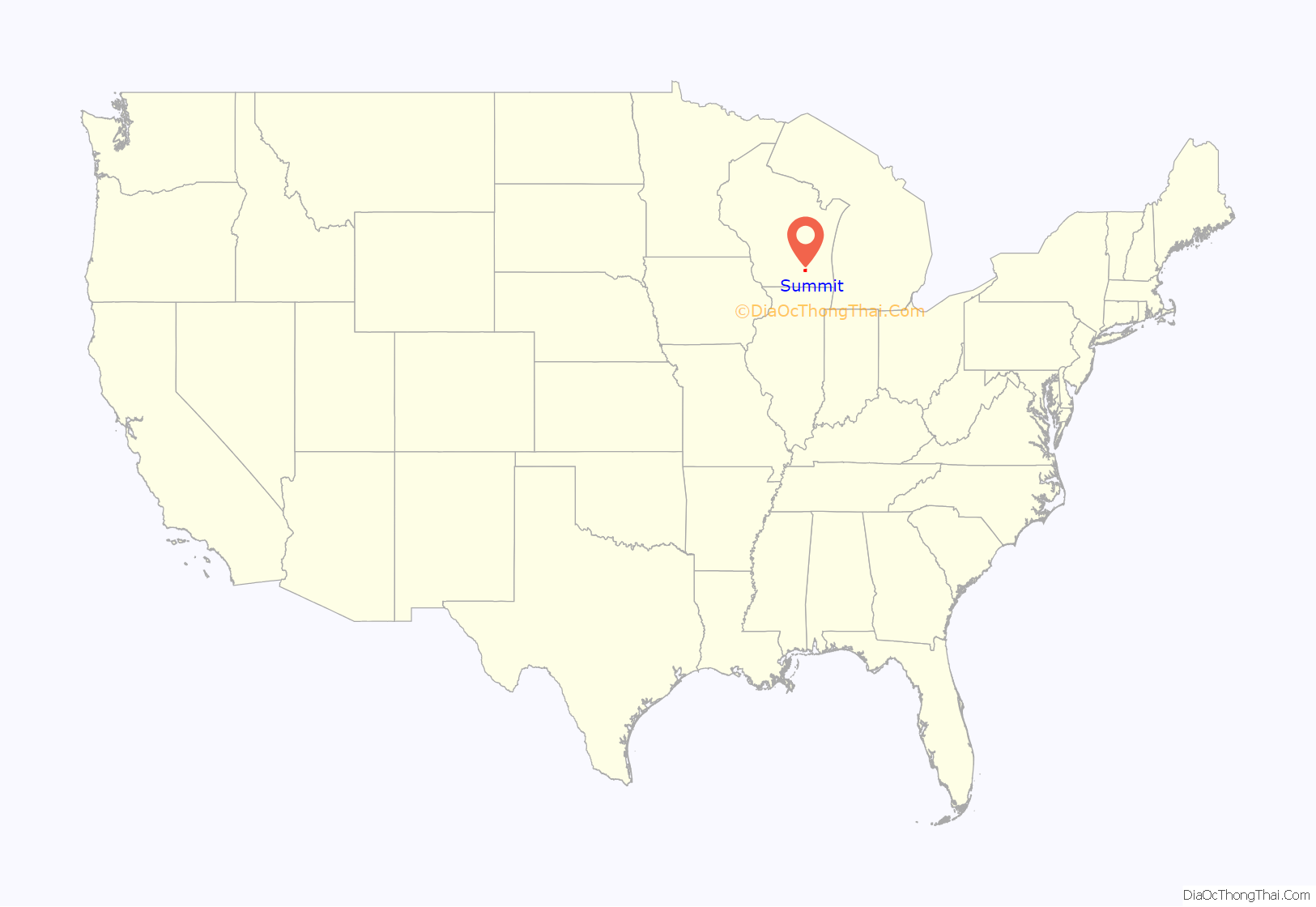
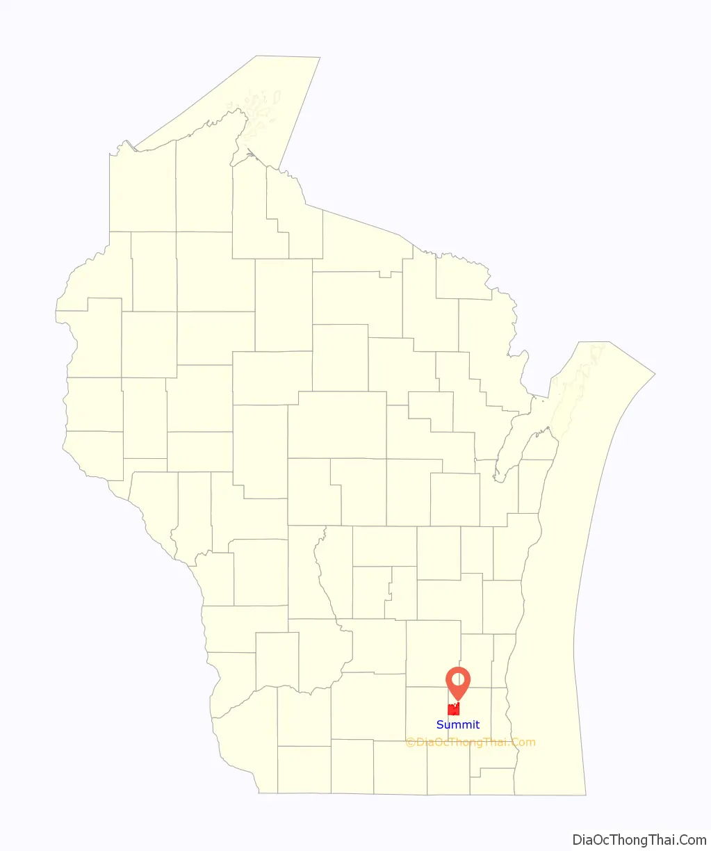
Summit location map. Where is Summit village?
History
Summit was initially a part of Milwaukee County. The town was first settled in the spring of 1837 by Andrew Baxter. In 1838, Curtis Reed, who was the first town chairman, became the first postmaster. By 1840, there were 335 settlers in Summit’s 36 square miles (93 km). The first town meeting, which took place on April 5, 1842, selected Ralph Frisbie as the first town clerk.
The first church building in the Town of Summit was constructed in 1842 at Nashotah Mission. When the mission was moved to Delafield, St. Mary’s Church on highways 67 and 18 became the oldest operating church in the town, dating back to 1871. The 1875 census reported 619 males, 540 females, 2 insane, 0 deaf and dumb, 0 blind and 0 colored. The last Native Americans in the area were seen in 1883. The first Town Hall was built in 1906 and torn down in 1954, after which another was built. On July 29, 2010, the town of Summit became a village. In April of 2018 the Village Hall moved into a new building located at 37100 Delafield Road, just south of the previous location.
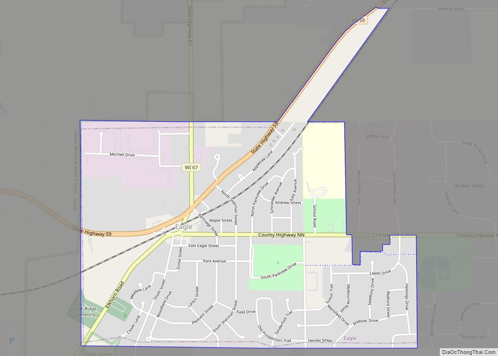
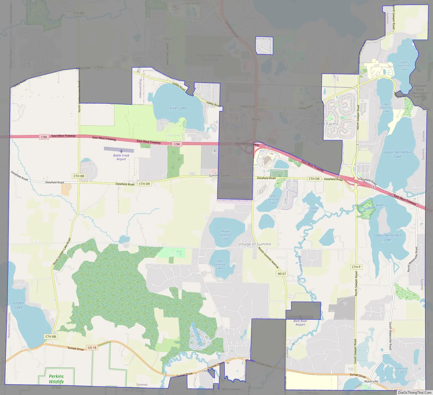
Summit Road Map
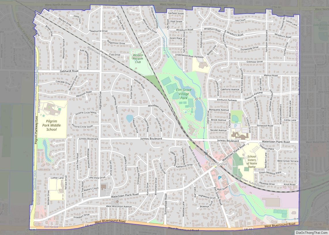
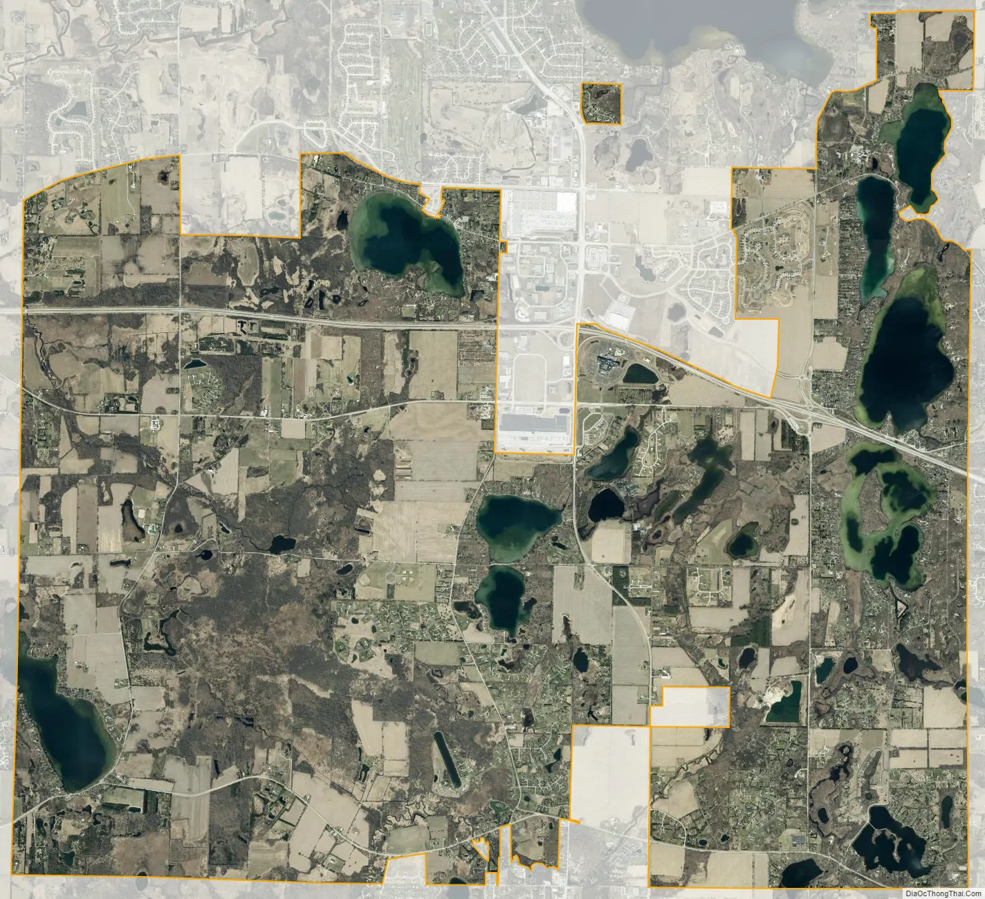
Summit city Satellite Map
Geography
According to the United States Census Bureau, the village has a total area of 28.5 square miles (73.8 km), of which, 25.8 square miles (66.7 km) of it is land and 2.8 square miles (7.1 km) of it (9.68%) is water.
See also
Map of Wisconsin State and its subdivision:- Adams
- Ashland
- Barron
- Bayfield
- Brown
- Buffalo
- Burnett
- Calumet
- Chippewa
- Clark
- Columbia
- Crawford
- Dane
- Dodge
- Door
- Douglas
- Dunn
- Eau Claire
- Florence
- Fond du Lac
- Forest
- Grant
- Green
- Green Lake
- Iowa
- Iron
- Jackson
- Jefferson
- Juneau
- Kenosha
- Kewaunee
- La Crosse
- Lafayette
- Lake Michigan
- Lake Superior
- Langlade
- Lincoln
- Manitowoc
- Marathon
- Marinette
- Marquette
- Menominee
- Milwaukee
- Monroe
- Oconto
- Oneida
- Outagamie
- Ozaukee
- Pepin
- Pierce
- Polk
- Portage
- Price
- Racine
- Richland
- Rock
- Rusk
- Saint Croix
- Sauk
- Sawyer
- Shawano
- Sheboygan
- Taylor
- Trempealeau
- Vernon
- Vilas
- Walworth
- Washburn
- Washington
- Waukesha
- Waupaca
- Waushara
- Winnebago
- Wood
- Alabama
- Alaska
- Arizona
- Arkansas
- California
- Colorado
- Connecticut
- Delaware
- District of Columbia
- Florida
- Georgia
- Hawaii
- Idaho
- Illinois
- Indiana
- Iowa
- Kansas
- Kentucky
- Louisiana
- Maine
- Maryland
- Massachusetts
- Michigan
- Minnesota
- Mississippi
- Missouri
- Montana
- Nebraska
- Nevada
- New Hampshire
- New Jersey
- New Mexico
- New York
- North Carolina
- North Dakota
- Ohio
- Oklahoma
- Oregon
- Pennsylvania
- Rhode Island
- South Carolina
- South Dakota
- Tennessee
- Texas
- Utah
- Vermont
- Virginia
- Washington
- West Virginia
- Wisconsin
- Wyoming