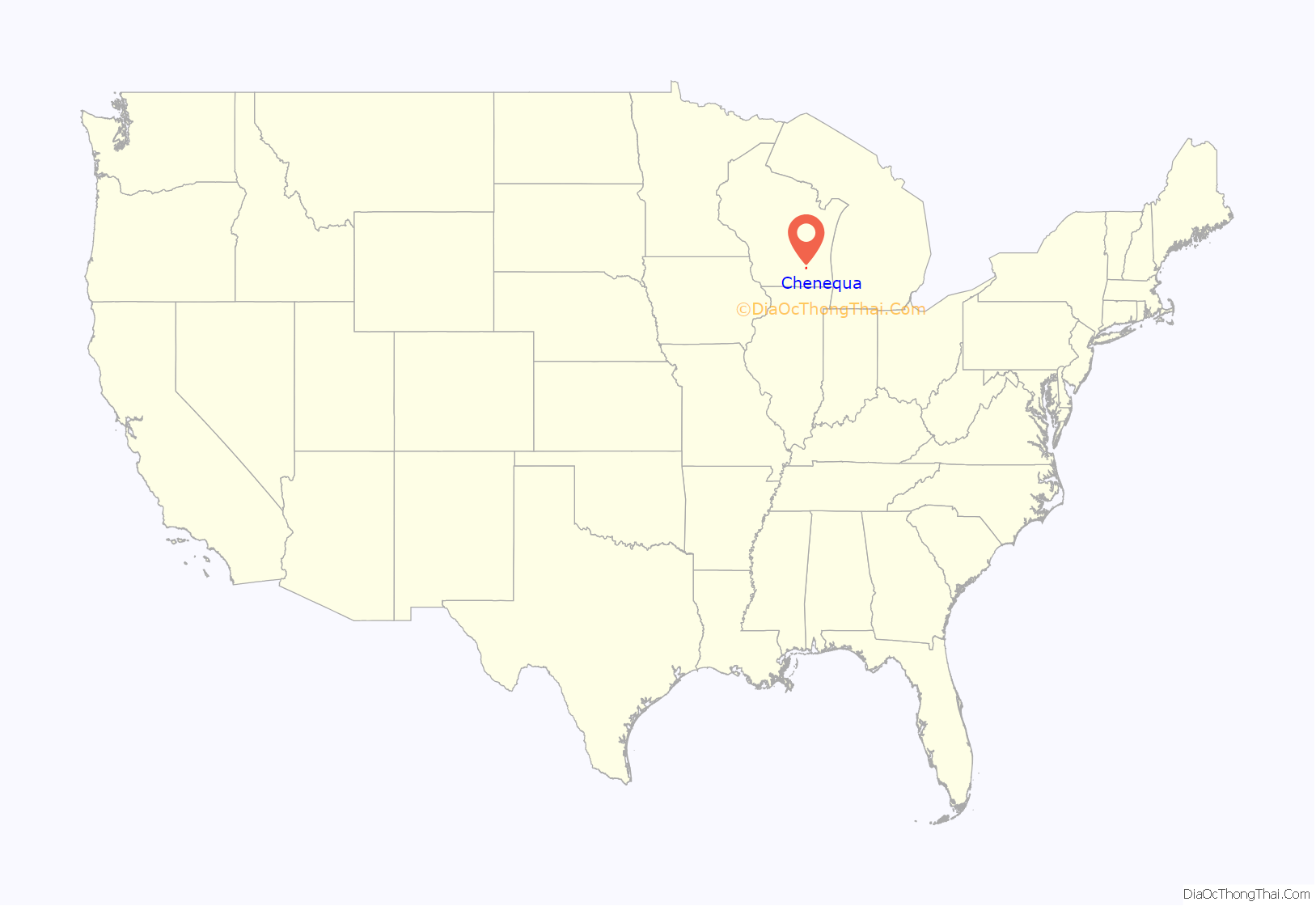
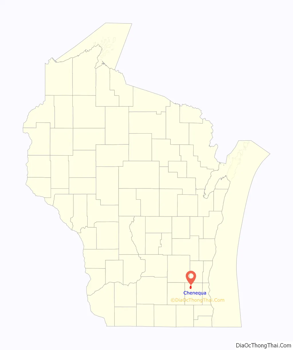
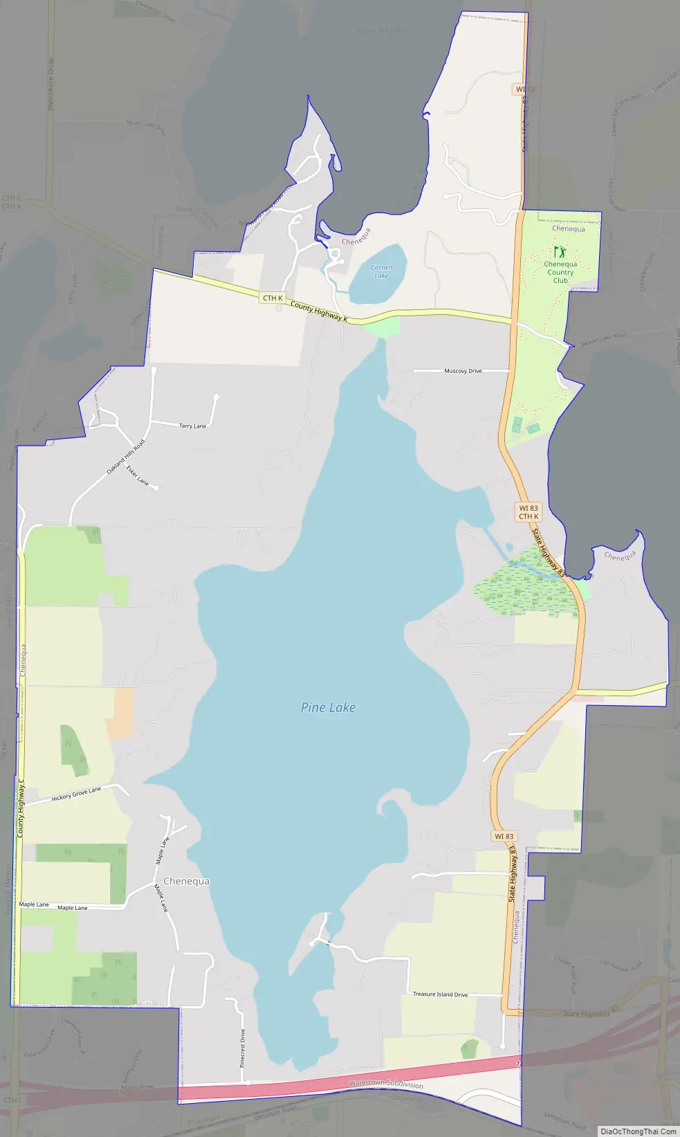
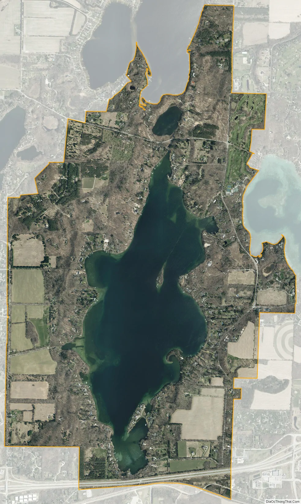
Chenequa is a village in Waukesha County, Wisconsin, United States. It encompasses all of Pine Lake, a southern portion of North Lake, and the western portion of Beaver Lake. The population was 526 at the 2020 census. The village was incorporated in 1928.
| Name: | Chenequa village |
|---|---|
| LSAD Code: | 47 |
| LSAD Description: | village (suffix) |
| State: | Wisconsin |
| County: | Waukesha County |
| Elevation: | 909 ft (277 m) |
| Total Area: | 4.63 sq mi (12.00 km²) |
| Land Area: | 3.47 sq mi (8.98 km²) |
| Water Area: | 1.17 sq mi (3.02 km²) |
| Total Population: | 526 |
| Population Density: | 173.64/sq mi (67.04/km²) |
| FIPS code: | 5514225 |
| GNISfeature ID: | 1562974 |
| Website: | http://chenequa.org/ |
Online Interactive Map
Click on ![]() to view map in "full screen" mode.
to view map in "full screen" mode.
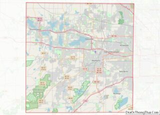
Chenequa location map. Where is Chenequa village?
History
The first settlers in the area were Gustaf Unonius; his wife, Charlotta Margareta Ohrstromer; her nursemaid; Christine Soedergren; Carl Groth; and Wilhelm Pearmain.
The village was formed from the Town of Merton in 1928 by wealthy Milwaukeeans who owned summer homes in the area and were concerned about the level of police protection provided. Forming their own village allowed them to have their own police department. The town of Merton, which objected to the formation of the village because of the loss of tax revenue, filed suit to prevent the incorporation. It was supported by hundreds of town residents who filed petitions with the court. In January, 1928, the court determined that the village of Chenequa could incorporate. The judge addressed the local residents’ complaint that the public would be shut off from access to the lake by stating that, “There is no merit to such contention. The lake is now touched by a public road, it has three hotels, where the public is invited and welcome to the lake. Besides, the county board can supervise any plats and can open up to the public any lake by the laying out and building of public roads.”
Many of the residents who own property around Pine Lake and Beaver Lake are descendants of Milwaukee and Chicago industrialists who built their summer mansions there during the late 1800s.
Chenequa Road Map
Chenequa city Satellite Map
Geography
Chenequa is located at 43°7′24″N 88°22′52″W / 43.12333°N 88.38111°W / 43.12333; -88.38111 (43.123399, −88.381173).
According to the United States Census Bureau, the village has a total area of 4.71 square miles (12.20 km), of which, 3.54 square miles (9.17 km) of it is land and 1.17 square miles (3.03 km) is water.
Parts of Chenequa encompass Beaver Lake, North Lake, and Pine Lake. There is public access for Pine Lake and Beaver Lake, but not North Lake.
See also
Map of Wisconsin State and its subdivision:- Adams
- Ashland
- Barron
- Bayfield
- Brown
- Buffalo
- Burnett
- Calumet
- Chippewa
- Clark
- Columbia
- Crawford
- Dane
- Dodge
- Door
- Douglas
- Dunn
- Eau Claire
- Florence
- Fond du Lac
- Forest
- Grant
- Green
- Green Lake
- Iowa
- Iron
- Jackson
- Jefferson
- Juneau
- Kenosha
- Kewaunee
- La Crosse
- Lafayette
- Lake Michigan
- Lake Superior
- Langlade
- Lincoln
- Manitowoc
- Marathon
- Marinette
- Marquette
- Menominee
- Milwaukee
- Monroe
- Oconto
- Oneida
- Outagamie
- Ozaukee
- Pepin
- Pierce
- Polk
- Portage
- Price
- Racine
- Richland
- Rock
- Rusk
- Saint Croix
- Sauk
- Sawyer
- Shawano
- Sheboygan
- Taylor
- Trempealeau
- Vernon
- Vilas
- Walworth
- Washburn
- Washington
- Waukesha
- Waupaca
- Waushara
- Winnebago
- Wood
- Alabama
- Alaska
- Arizona
- Arkansas
- California
- Colorado
- Connecticut
- Delaware
- District of Columbia
- Florida
- Georgia
- Hawaii
- Idaho
- Illinois
- Indiana
- Iowa
- Kansas
- Kentucky
- Louisiana
- Maine
- Maryland
- Massachusetts
- Michigan
- Minnesota
- Mississippi
- Missouri
- Montana
- Nebraska
- Nevada
- New Hampshire
- New Jersey
- New Mexico
- New York
- North Carolina
- North Dakota
- Ohio
- Oklahoma
- Oregon
- Pennsylvania
- Rhode Island
- South Carolina
- South Dakota
- Tennessee
- Texas
- Utah
- Vermont
- Virginia
- Washington
- West Virginia
- Wisconsin
- Wyoming