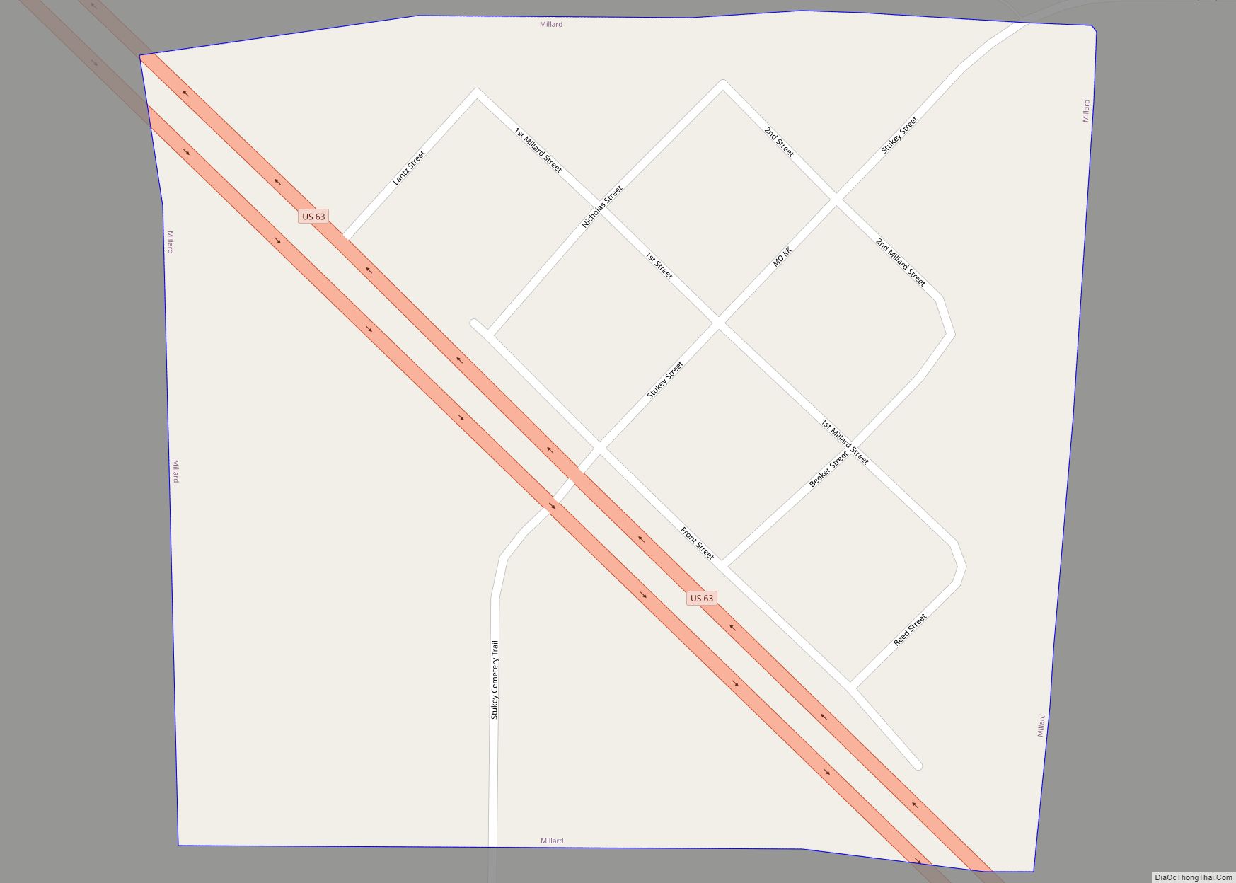
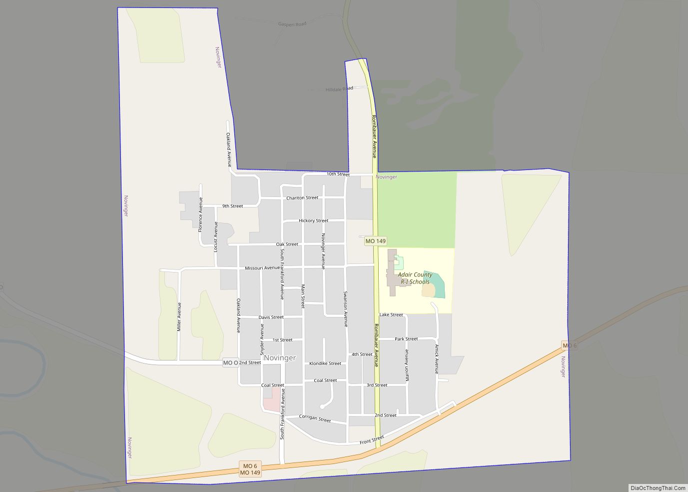
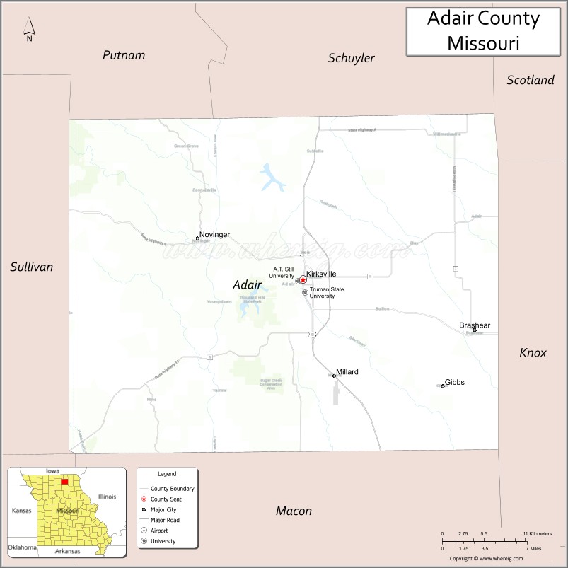
Adair County is a county located in the northeastern part of the U.S. state of Missouri. The population census for 2020 was 25,314. As of July 1, 2021, the U.S. Census Bureau’s Population Estimates for the county is 25,185, a -0.5% change. Adair county seat is Kirksville. The county was first settled by immigrants from Kentucky and organized on January 29, 1841. Adair County comprises the Kirksville, MO Micropolitan Statistical Area.
| Name: | Adair County |
|---|---|
| FIPS code: | 29-001 |
| State: | Missouri |
| Founded: | January 29, 1841 |
| Named for: | Adair County, Kentucky |
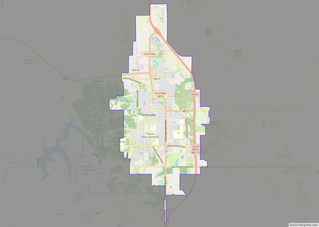
| Seat: | Kirksville |
| Largest city: | Kirksville |
| Total Area: | 569 sq mi (1,470 km²) |
| Land Area: | 567 sq mi (1,470 km²) |
| Total Population: | 25,314 |
| Population Density: | 44/sq mi (17/km²) |
| Time zone: | UTC−6 (Central) |
| Summer Time Zone (DST): | UTC−5 (CDT) |
| Website: | adaircountymissouri.com |
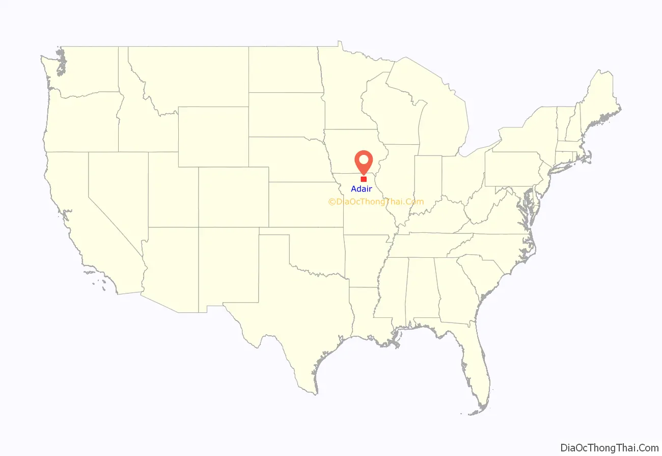
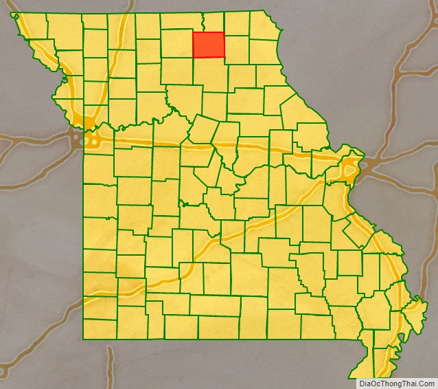
Adair County location map. Where is Adair County?
History
The first permanent settlement in Adair County began in 1828. Many of the first settlers were from Adair County in Kentucky, for which the Missouri county was named. The county in Kentucky was named for John Adair, a respected Governor of Kentucky. This was 25 years after the Louisiana Purchase, seven years after Missouri was granted statehood, and four years after the Sac and Fox Native American tribes surrendered their claims to the land. The original settlement was called “Cabins of White Folks,” or simply, “The Cabins,” and was located six miles (9.7 km) west of present-day Kirksville along the Chariton River.
The Big Neck War: In July 1829, a large party of Iowa (or Ioway) Native Americans, led by Chief Big Neck, returned to their former hunting grounds in violation of treaty. One of the Ioway’s dogs killed a pig, and some tribe members threatened (or insulted, according to some sources) the white women. The settlers sent messengers south to Randolph and Macon counties asking for help. Captain William Trammell responded with a party of some two dozen men to help. By the time of their arrival, the Ioways had left the area and moved up the Chariton into what is now Schuyler County. Trammell’s force, augmented by several of the men from The Cabins, pursued and engaged the Ioway at a place called Battle Creek, killing several Native Americans including Big Neck’s brother, sister-in-law, and their child. The Trammell party lost three men in the skirmish, including Captain Trammell himself, and one additional casualty died of his wounds shortly afterward. The surviving whites returned to the cabins, collected the women and children, and headed south for the Randolph County settlement of Huntsville. Later, a group of militia under General John B. Clark pursued and apprehended Big Neck and his braves, capturing them in March 1830. Several of them soon escaped from jail and fled to the current state of Iowa; however, Big Neck himself and the remainder were put on trial by a grand jury convened in Randolph County. The jury found on March 31, 1830, that: “After examining all the witnesses, and maturely considering the charges for which these Iowa Indians are now in confinement, we find them not guilty, and they are at once discharged.” The acquittal of Big Neck seemed to have brought the war to a peaceful, if uneasy, conclusion. A few months later, white settlers returned to The Cabins in greater numbers than before, and this time to stay permanently. The outbreak of the Blackhawk War in 1832 again caused consternation among the early settlers although all fighting was hundreds of miles away in present-day Illinois and Wisconsin. To ease fears in the area, militia units were dispatched and two small forts were constructed. One, Fort Clark, was located on high ground adjacent to The Cabins. Several miles to the northeast, another detachment of troops established Fort Matson. After months of no hostile Native American activity in the Adair County area, both forts were abandoned. The site of Fort Clark is now marked by a large boulder and plaque, while the Fort Matson site was later the location for a church and its name corrupted to Fort Madison (not to be confused with the Iowa city). The Fort Matson/Madison Cemetery still remains.
Courthouse
The Adair County courthouse is a three-story Romanesque structure in the center of the Kirksville city square that was completed in 1899. The architect was Robert G. Kirsch who would later also design the courthouses for Carroll, Polk, Vernon, and Cooper counties. The county had no dedicated courthouse from 1865 until 1899, operating out of temporary rented quarters on or near the square. The county voters finally approved a $50,000 bond issue in 1897 to build the current courthouse after four failed attempts between 1872 and 1896. The courthouse was placed on the National Register of Historic Places in 1978.
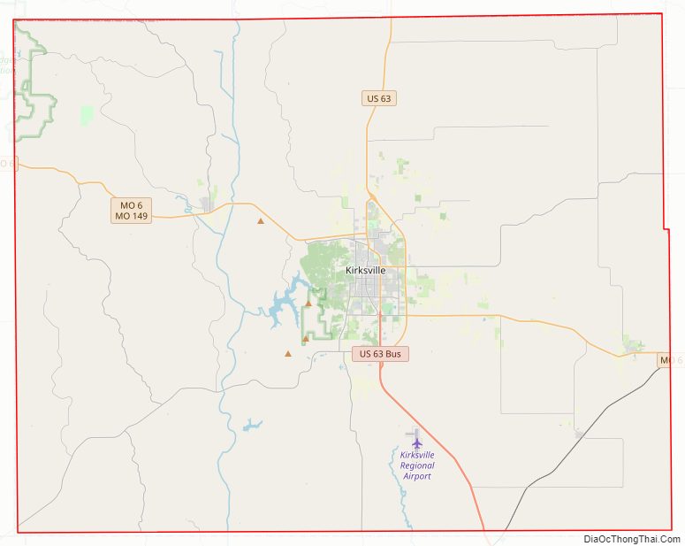
Adair County Road Map
Geography
According to the U.S. Census Bureau, the county has a total area of 569 square miles (1,470 km), of which 567 square miles (1,470 km) is land and 2.1 square miles (5.4 km) (0.4%) is water.
Adjacent counties
- Putnam County (northwest)
- Schuyler County (north)
- Scotland County (northeast)
- Knox County (east)
- Macon County (south)
- Linn County (southwest)
- Sullivan County (west)
Major highways
- U.S. Route 63
- Route 3
- Route 6
- Route 11
- Route 149
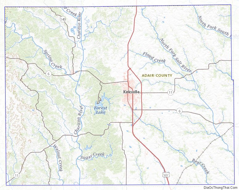
Adair County Topographic Map
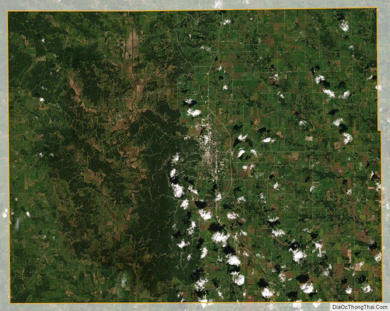
Adair County Satellite Map
Adair County Outline Map