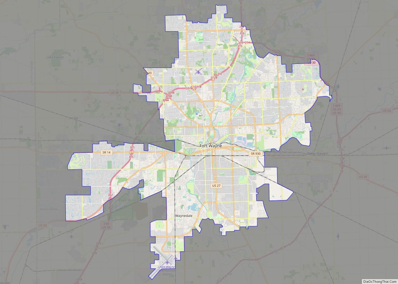
Allen County is a county in the U.S. state of Indiana. As of the 2020 Census, the population was 385,410, making it the third-most populous county in Indiana. The county seat and largest city is Fort Wayne, the second largest city in Indiana.
Allen County is included in the Fort Wayne Metropolitan Statistical Area and the Fort Wayne–Huntington–Auburn Combined Statistical Area. Allen County is the cultural and economic center of northeastern Indiana. The county is within a 200-mile (320 km) radius of major population centers, including Chicago, Cincinnati, Cleveland, Columbus, Detroit, Indianapolis, Louisville, Milwaukee, and within a one-day drive of one-third of the U.S. population and one-fifth of Canadians.
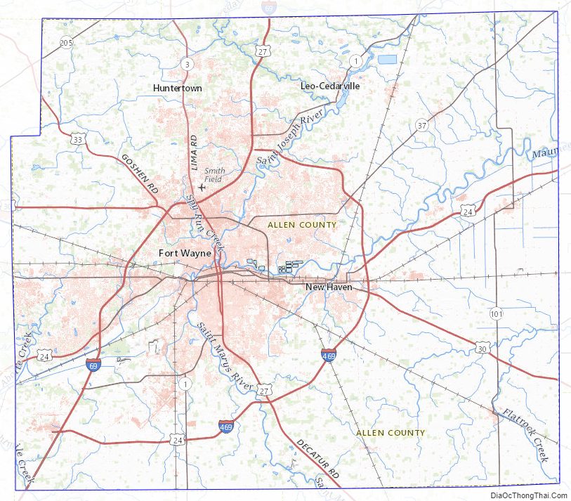
Occupied for thousands of years by cultures of indigenous peoples, Allen County was organized by European Americans on December 17, 1823, from Delaware and Randolph counties; and formed on April 1, 1824, at the Ewing Tavern. The county is named for Colonel John Allen, an attorney and Kentucky state senator who was killed in the War of 1812. Fort Wayne, founded at the confluences of the Maumee, St. Joseph, and St. Marys rivers, was chosen as the county seat in May 1824.
| Name: | Allen County |
|---|---|
| FIPS code: | 18-003 |
| State: | Indiana |
| Founded: | April 1, 1824 |
| Named for: | John Allen |
| Seat: | Fort Wayne |
| Largest city: | Fort Wayne |
| Total Area: | 660.02 sq mi (1,709.4 km²) |
| Land Area: | 657.31 sq mi (1,702.4 km²) |
| Total Population: | 385,410 |
| Population Density: | 541/sq mi (208.73/km²) |
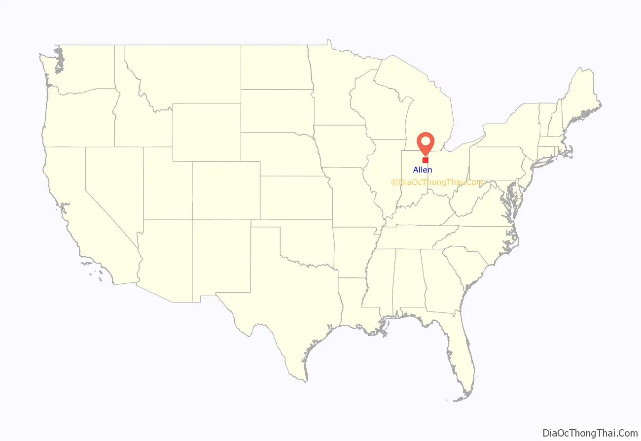
Allen County location map. Where is Allen County?
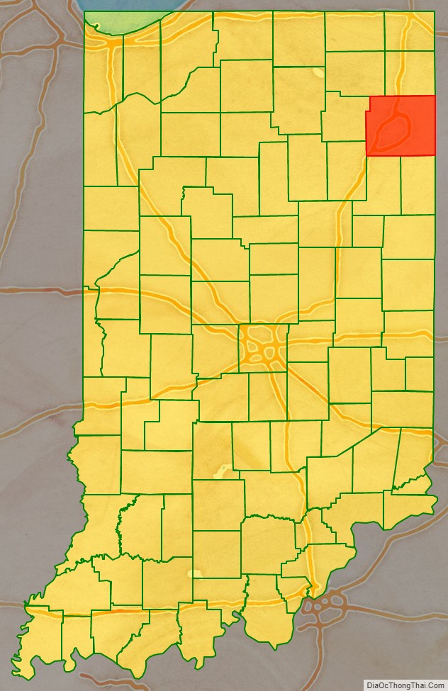
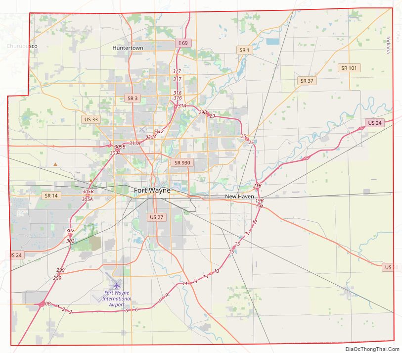
Allen County Road Map
Geography
According to the 2010 census, the county has a total area of 660.02 square miles (1,709.4 km), the largest county in Indiana, of which 657.31 square miles (1,702.4 km) (or 99.59%) is land and 2.71 square miles (7.0 km) (or 0.41%) is water.
Adjacent counties
- Noble County (northwest)
- DeKalb County (north)
- Defiance County, Ohio (northeast)
- Paulding County, Ohio (east)
- Van Wert County, Ohio (southeast)
- Adams County (south)
- Wells County (south)
- Huntington County (southwest)
- Whitley County (west)
Allen County Topographic Map
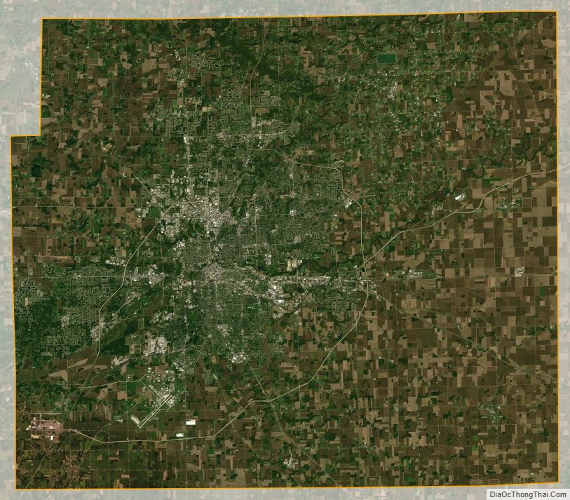
Allen County Satellite Map
Allen County Outline Map