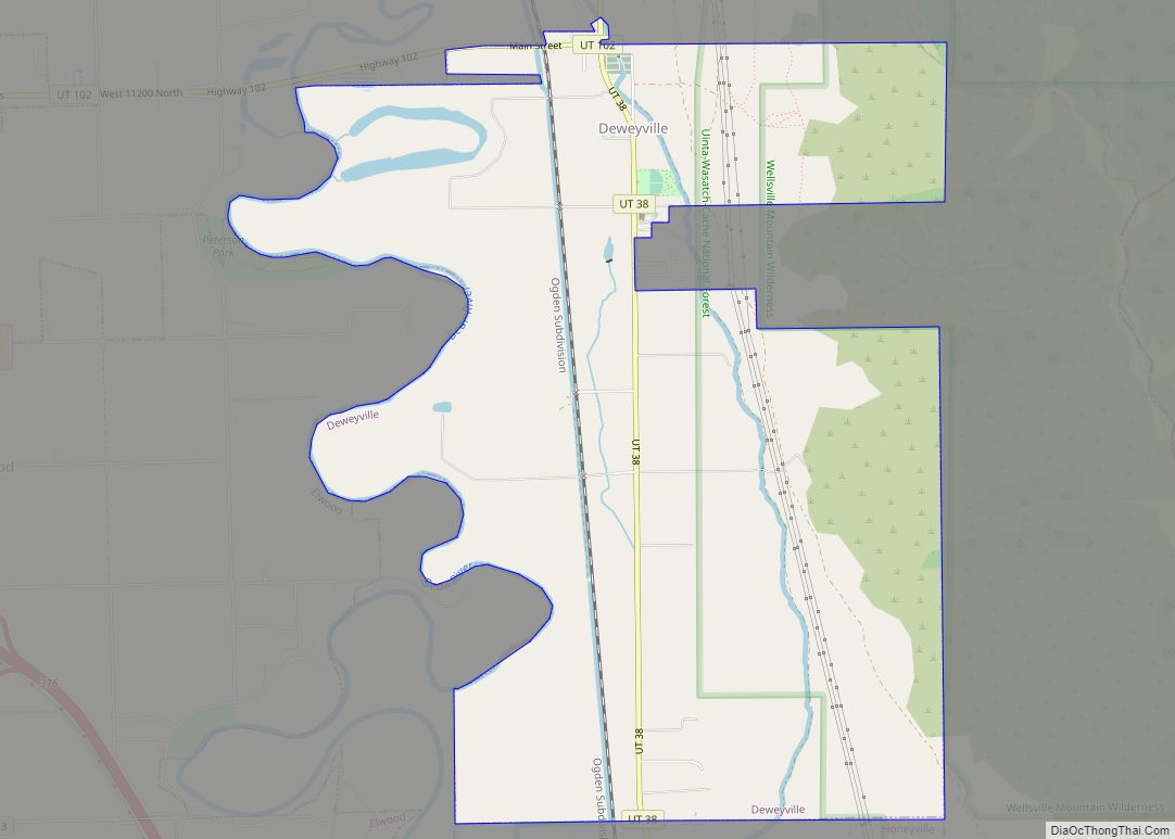
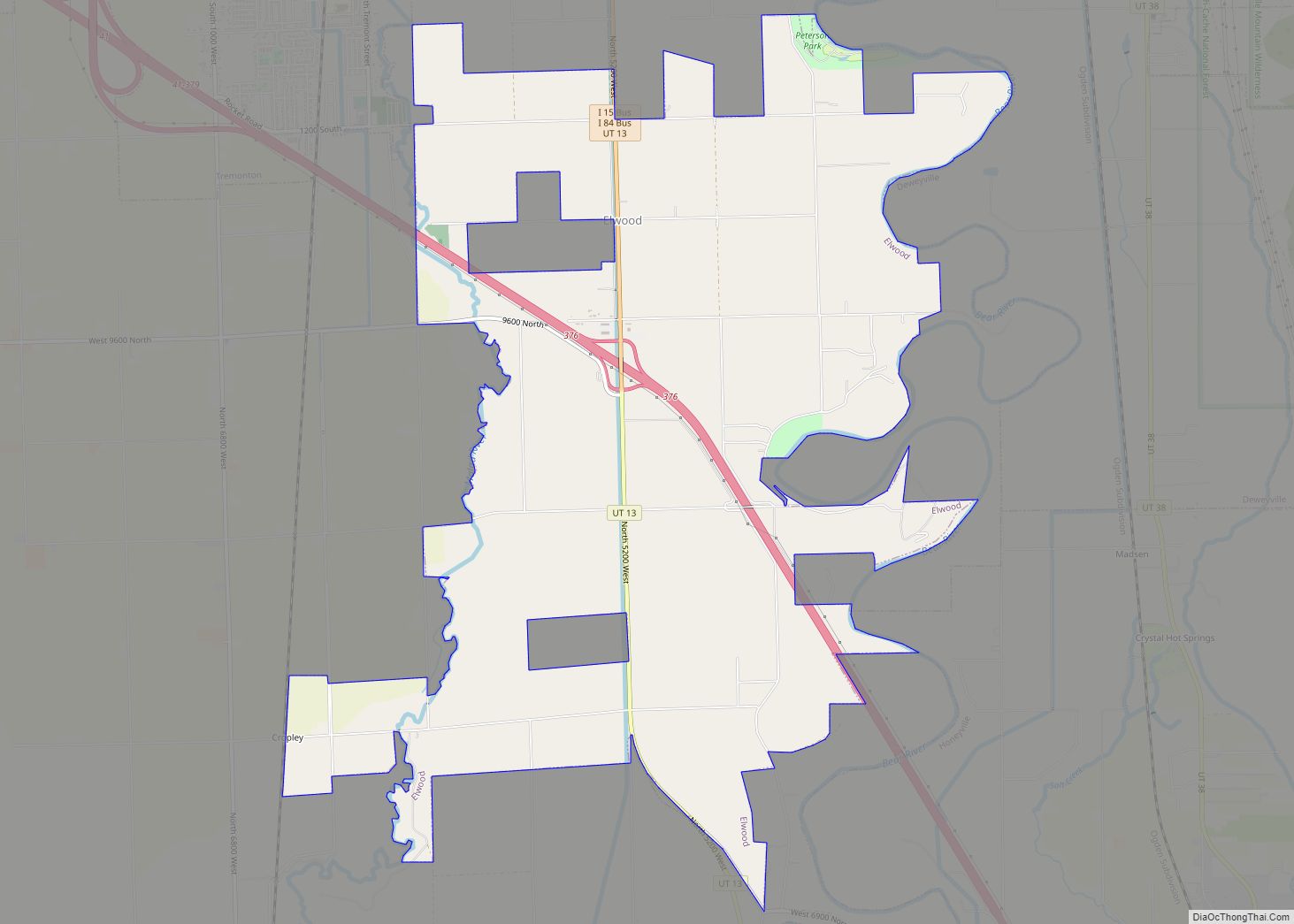
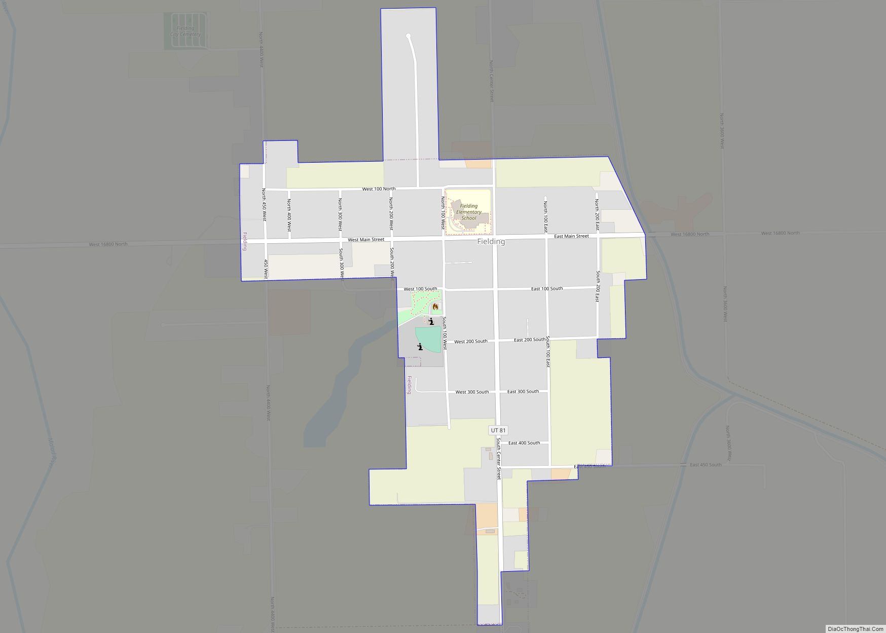
Box Elder County is a county at the northwestern corner of Utah, United States. At the 2020 census, the population was 57,666, up from the 2010 figure of 49,975. Its county seat and largest city is Brigham City. The county was named for the box elder trees that abound in the county.
Box Elder County is part of the Ogden–Clearfield, UT Metropolitan Statistical Area, which is also included in the Salt Lake City–Provo–Orem, UT Combined Statistical Area. Box Elder County.
| Name: | Box Elder County |
|---|---|
| FIPS code: | 49-003 |
| State: | Utah |
| Founded: | January 5, 1856 |
| Named for: | Box elder tree |
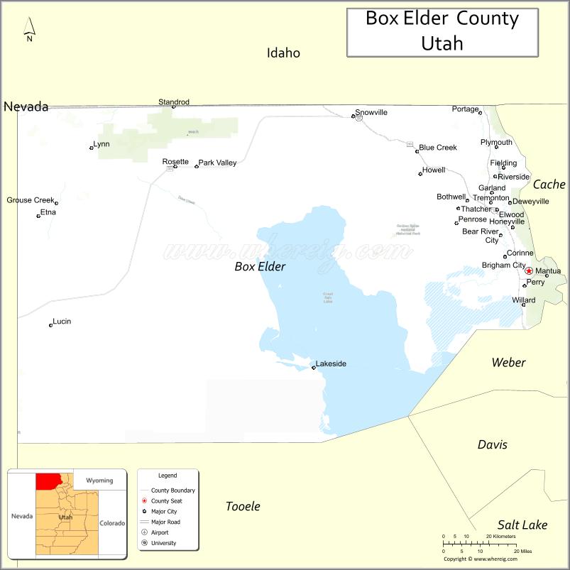
| Seat: | Brigham City |
| Largest city: | Brigham City |
| Total Area: | 6,729 sq mi (17,430 km²) |
| Land Area: | 5,746 sq mi (14,880 km²) |
| Total Population: | 57,666 |
| Population Density: | 8.6/sq mi (3.3/km²) |
| Time zone: | UTC−7 (Mountain) |
| Summer Time Zone (DST): | UTC−6 (MDT) |
| Website: | www.boxeldercounty.org |
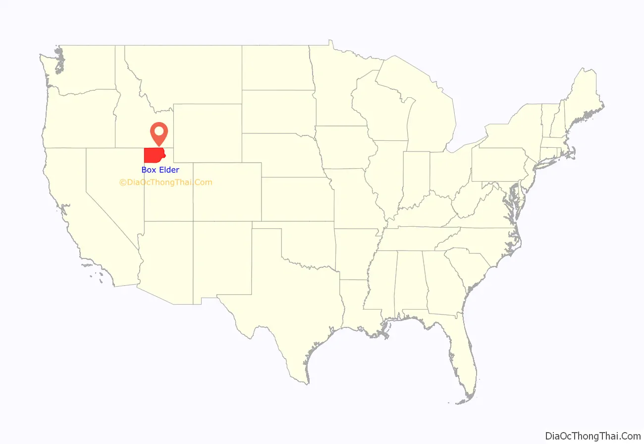
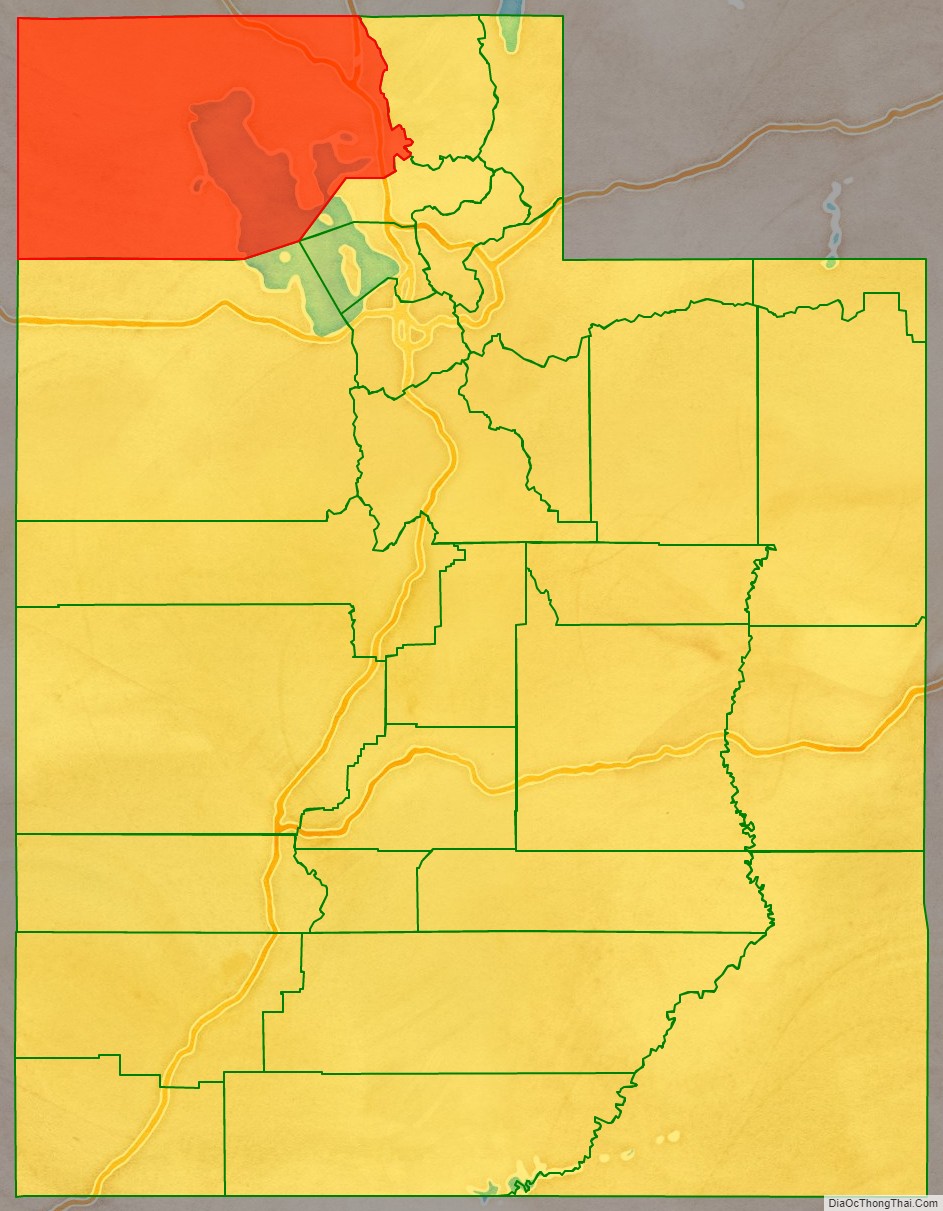
Box Elder County location map. Where is Box Elder County?
History
The county was created by the Utah Territory legislature on January 5, 1856, with the territory partitioned from Weber County. Its boundaries were altered in 1862 by adjustments between counties and in 1866 when all its area in the now-existent state of Nevada (which had gained territorial status in 1861 and statehood in 1864) was formally partitioned. The county boundaries were finally altered in 1880 by adjustments between Salt Lake and Weber counties. Its boundary has remained unchanged since 1880.
The California Trail followed Goose Creek from a point just north of the Idaho/Utah border southwest across northwestern Box Elder County to Little Goose Creek in northeastern Elko County, Nevada. The link-up of the first transcontinental railroad occurred at Promontory Summit, Utah in 1869.
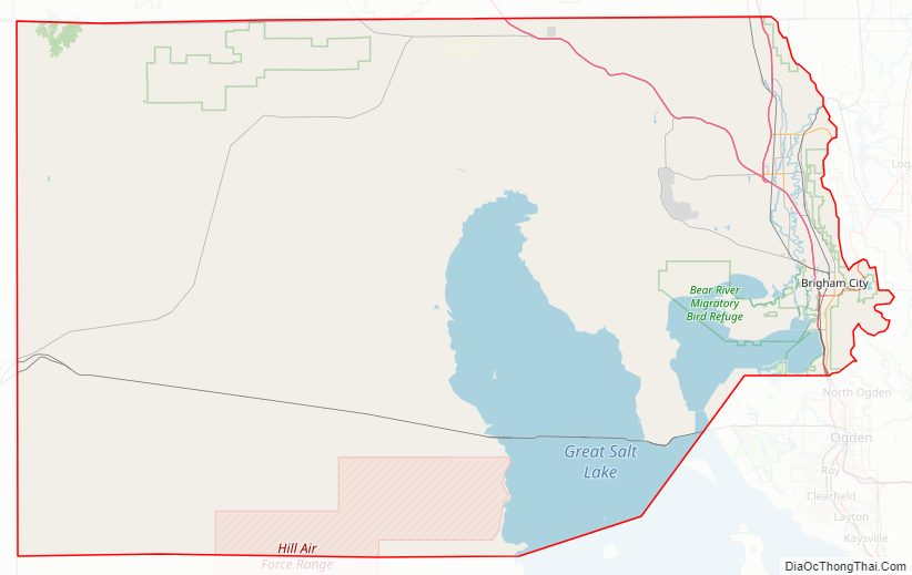
The Spiral Jetty, an earthwork sculpture by Robert Smithson, was built on the north shore of the Great Salt Lake in Box Elder County in 1970.
On November 19, 2005, sculptor Zaq Landsberg declared his plot to be independent from the US, creating the Republic of Zaqistan.
Box Elder County Road Map
Geography
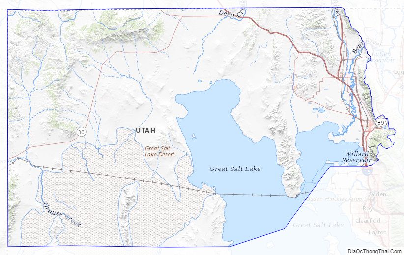
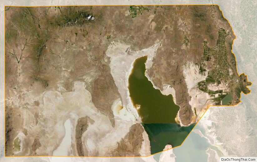
Box Elder County lies at the northwest corner of Utah. Its west border abuts the east border of the state of Nevada and its north border abuts the south border of the state of Idaho. Its territory includes large tracts of barren desert, contrasted by high, forested mountains. The Wasatch Front lies along the south-eastern border, where the main cities are found. The terrain generally slopes to the south (toward the Great Salt Lake), although the NW corner of the county slopes to the north, allowing runoff from that area to flow to the Snake River drainage. The county’s highest point is a mountain ridge near the NW corner, at 9,180′ (2798m) ASL. The county has a total area of 6,729 square miles (17,430 km), of which 5,746 square miles (14,880 km) is land and 984 square miles (2,550 km) (15%) is water. It is the fourth-largest county in Utah by area.
In the east lie the Wellsville Mountains, a branch of the Wasatch Range. In the west is a large, mostly uninhabited desert area. The Great Salt Lake lies in the southeastern corner of the county. The combined Interstate 15/Interstate 84 runs northward in the eastern part of the county. The two routes diverge at Tremonton, with I-84 heading northwest past Snowville into central and western Idaho and I-15 heading north past Plymouth and Portage into eastern Idaho.
Major highways
- I-15
- I-15 BL
- I-84
- I-84 BL
- US 89
- US 91
- SR-13
- SR-30
- SR-38
- SR-42
- SR-82
- SR-83
- SR-102
Adjacent counties
- Cache County – northeast
- Weber County – east
- Davis County – southeast (across Great Salt Lake)
- Tooele County – south
- Elko County, Nevada – west
- Cassia County, Idaho – northwest
- Oneida County, Idaho – north
National protected areas
- Bear River Migratory Bird Refuge
- Caribou-Targhee National Forest (part)
- Golden Spike National Historic Site
- Sawtooth National Forest (part)
- Wasatch-Cache National Forest (part)
Box Elder County Topographic Map
Box Elder County Satellite Map
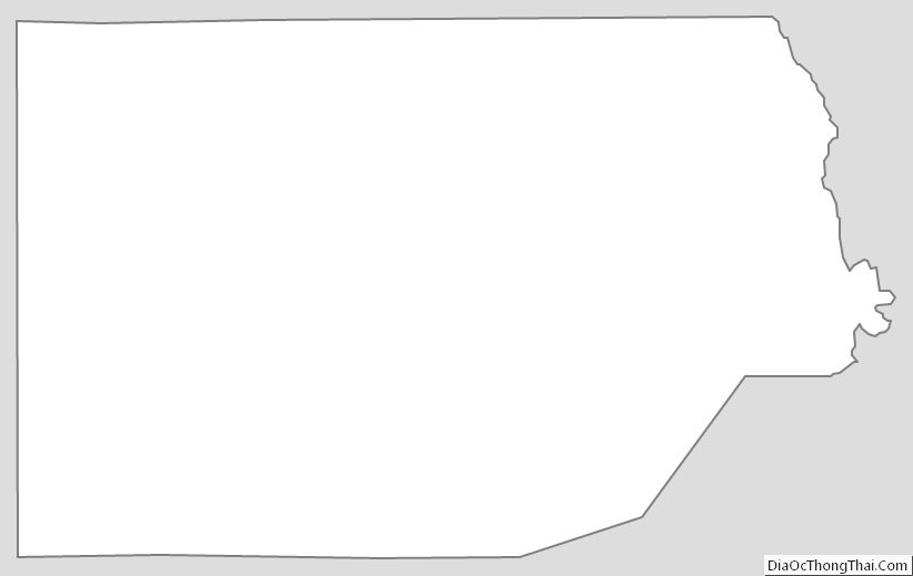
Box Elder County Outline Map