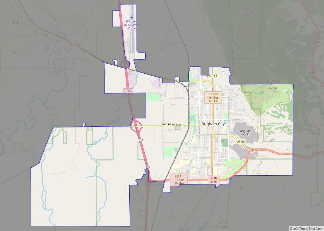
Brigham City is a city in Box Elder County, Utah, United States. The population was 19,650 at the 2020 census, up from the 2010 figure of 17,899. It is the county seat of Box Elder County. It lies on the western slope of the Wellsville Mountains, a branch of the Wasatch Range at the western terminus of Box Elder Canyon. Brigham City saw most of its growth during the 1950s and 1960s but has seen a struggling economy and stagnating growth. It is near the former headquarters of ATK Thiokol, now Northrop Grumman, the company that created the solid rocket boosters for the Space Shuttle.
Brigham City is known for its peaches and holds an annual celebration called Peach Days on the weekend after Labor Day. Much of Main Street is closed off to cars, and the festival is celebrated by a parade, a car show, a carnival, and other activities. The Church of Jesus Christ of Latter-day Saints (LDS Church) dedicated its fourteenth temple in Utah in Brigham City on September 23, 2012.
The city is the headquarters of the Northwestern Band of the Shoshone Nation, a federally recognized tribe of Shoshone people.
| Name: | Brigham City city |
|---|---|
| LSAD Code: | 25 |
| LSAD Description: | city (suffix) |
| State: | Utah |
| County: | Box Elder County |
| Elevation: | 4,436 ft (1,352 m) |
| Total Area: | 24.92 sq mi (64.54 km²) |
| Land Area: | 24.58 sq mi (63.67 km²) |
| Water Area: | 0.34 sq mi (0.88 km²) |
| Total Population: | 19,560 |
| Population Density: | 780/sq mi (300/km²) |
| ZIP code: | 84302 |
| Area code: | 435 |
| FIPS code: | 4908460 |
| GNISfeature ID: | 1439109 |
| Website: | brighamcity.utah.gov |
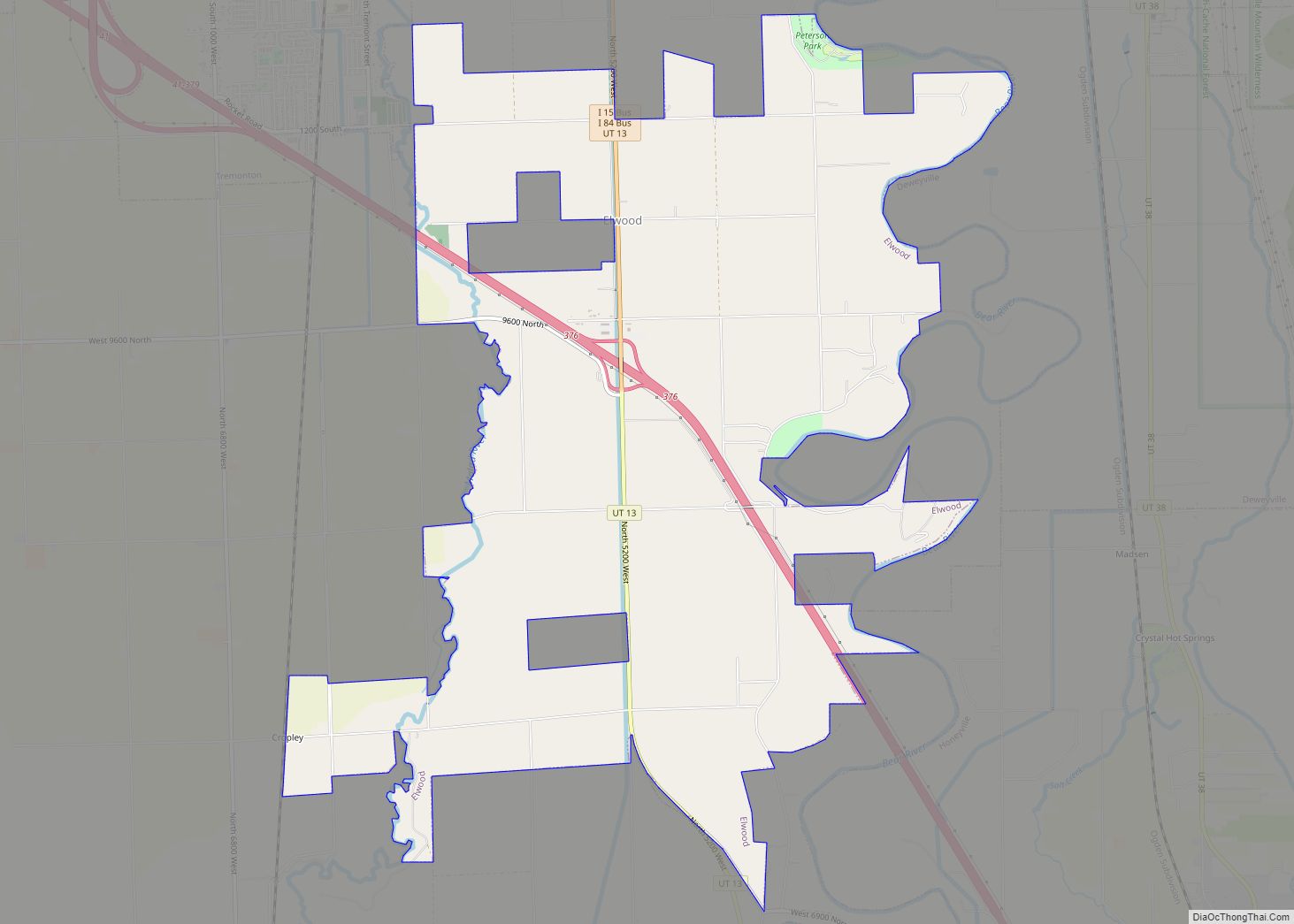
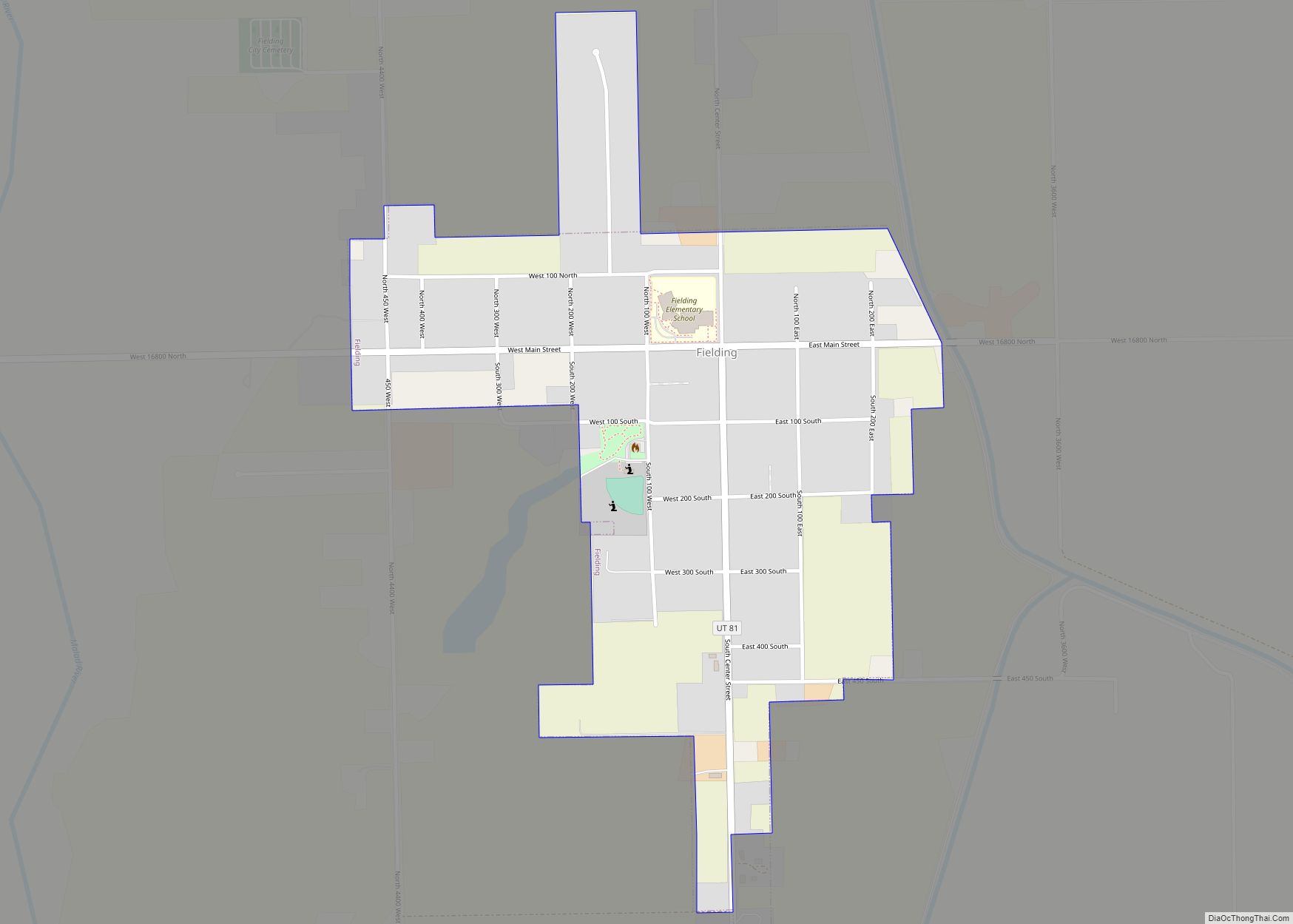
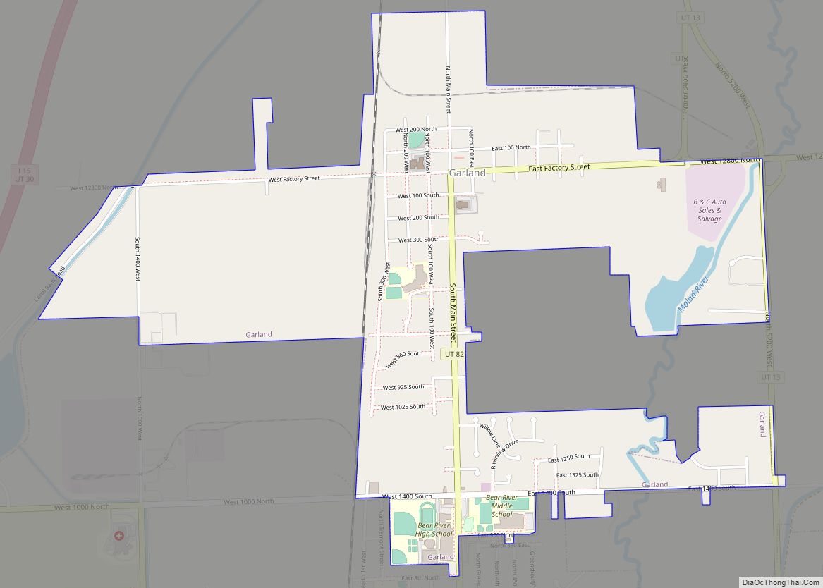
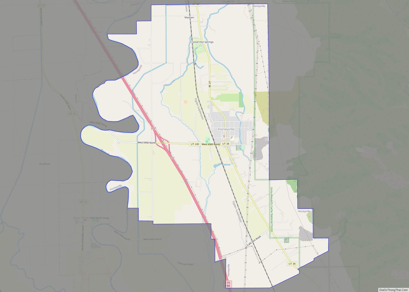
Online Interactive Map
Click on ![]() to view map in "full screen" mode.
to view map in "full screen" mode.
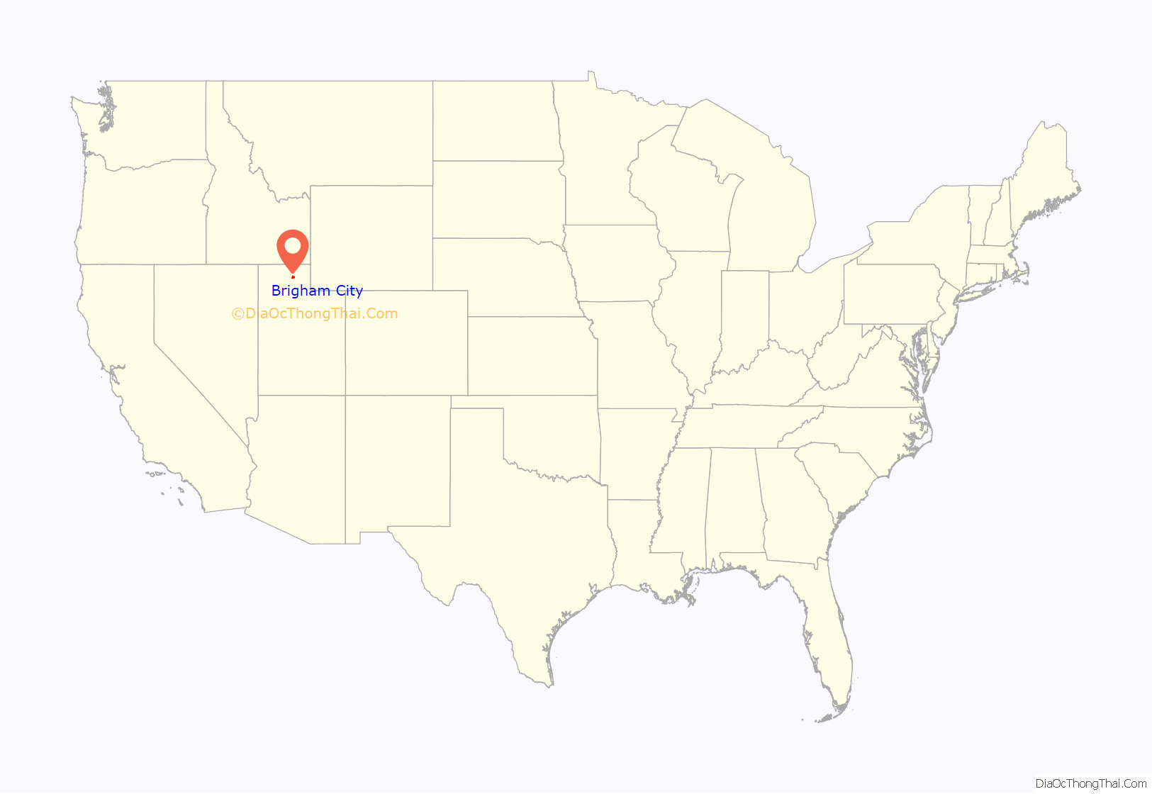
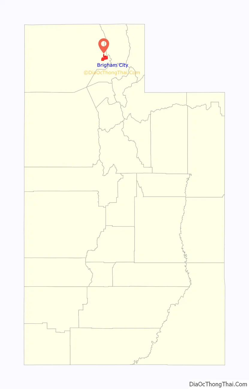
Brigham City location map. Where is Brigham City city?
History
Latter-Day Saint pioneer William Davis first explored the Brigham City area in 1850. He returned with his family and others a year later to create permanent homes. Brigham Young directed Lorenzo Snow to lead additional settlers to the site and foster a self-sufficient city at the site in 1853.
Snow directed both religious and political affairs in the settlement, eventually naming it Box Elder in 1855. When the town was incorporated on January 12, 1867, the name was changed to Brigham City in honor of Brigham Young. That same month, after the Utah legislature authorized a municipal election, residents elected Chester Loveland to be the town’s first mayor. Brigham Young gave his last public sermon there in 1877 shortly before his death. In 1864, the cooperative movement began in earnest with the creation of a mercantile co-op store and was an important element of the United Order. Other industries were added, and the Brigham City Co-op is widely recognized as the most successful of the Latter-Day Saint Co-op ventures. Economic hardships brought an end to the Co-op in 1895, though the Co-op had first started selling businesses off in 1876.
World War II brought a major economic boost to the city. The federal government created Bushnell General Hospital on Brigham City’s south side to treat soldiers wounded in the war. Locals sold supplies and food to the hospital while hospital staff patronized local businesses. After the war, the hospital’s buildings were used as Intermountain Indian School. Many young Native Americans attended the boarding school until it closed in 1984, although the Intermountain “I” on the mountain is still visible in tandem with Box Elder High School’s “B”. The facility has left its mark in a number of other ways, with most of the buildings still standing. Some have been converted into businesses and condos, while others remain empty. Utah State University purchased the site and demolished all remaining buildings in 2013. The Utah State University Brigham City regional campus will be expanded to permanent buildings on this site and will mainly serve students from Box Elder, Weber, and Davis counties. Construction will begin in the fall of 2014.
Despite layoffs over the past decade, much of Brigham City’s economy relies on Thiokol, the creator of many missiles, as well as the solid rocket booster for the Space Shuttle. Additionally, the local Autoliv (formerly a part of Thiokol) airbag plants also net Brigham City many jobs. Nucor Corporation has two facilities in Brigham City, in addition to its steel mill nearby Plymouth. The addition of a Walmart distribution center in nearby Corinne has also brought new jobs.
Historic sites
Built in 1870 as part of the Brigham City Manufacturing and Mercantile Association, the mill produced high-quality blankets and sweaters from locally produced wool fleeces. It was damaged by a blaze in June 2014 and destroyed by a fire on July 20, 2015.
Dr. A.D. Cooley opened this hospital in 1935, operating as the only acute care facility in Brigham City until 1976, when the Brigham City Community Hospital opened.
Originally built to house transient railroad workers, rooms in Hotel Brigham were meant to be inexpensive. Very few rooms had bathrooms. An original owner was James Knudson, a former mayor of Brigham City. His grandson, Cameron Kay Harmon, became a part owner and managed the hotel after World War II and into the 1950s.
Installed on 6 September 1928, this sign was financed by citizen donations totaling $2,400. The sign spans the width of Main Street, welcoming visitors to the business district. Made of opalite glass, the 12-inch-high (30 cm) lettering welcomes all to Brigham City, “Gateway to the World’s Greatest Wild Bird Refuge.”
Established in 1853 with the burial of a pioneer infant, the Brigham City cemetery is a beautiful, old-fashioned cemetery with above-ground grave markers. A final resting place for pioneers, peach orchard farmers, cholera epidemic victims, workers, and a host of others, the cemetery is peaceful and shaded with a wide variety of grand old trees.
Baron Woolen Mills, 2007
Cooley Memorial Hospital, 2007
Hotel Brigham, 1946
Archway
Brigham City Cemetery, 1969
List of mayors
Brigham City Road Map
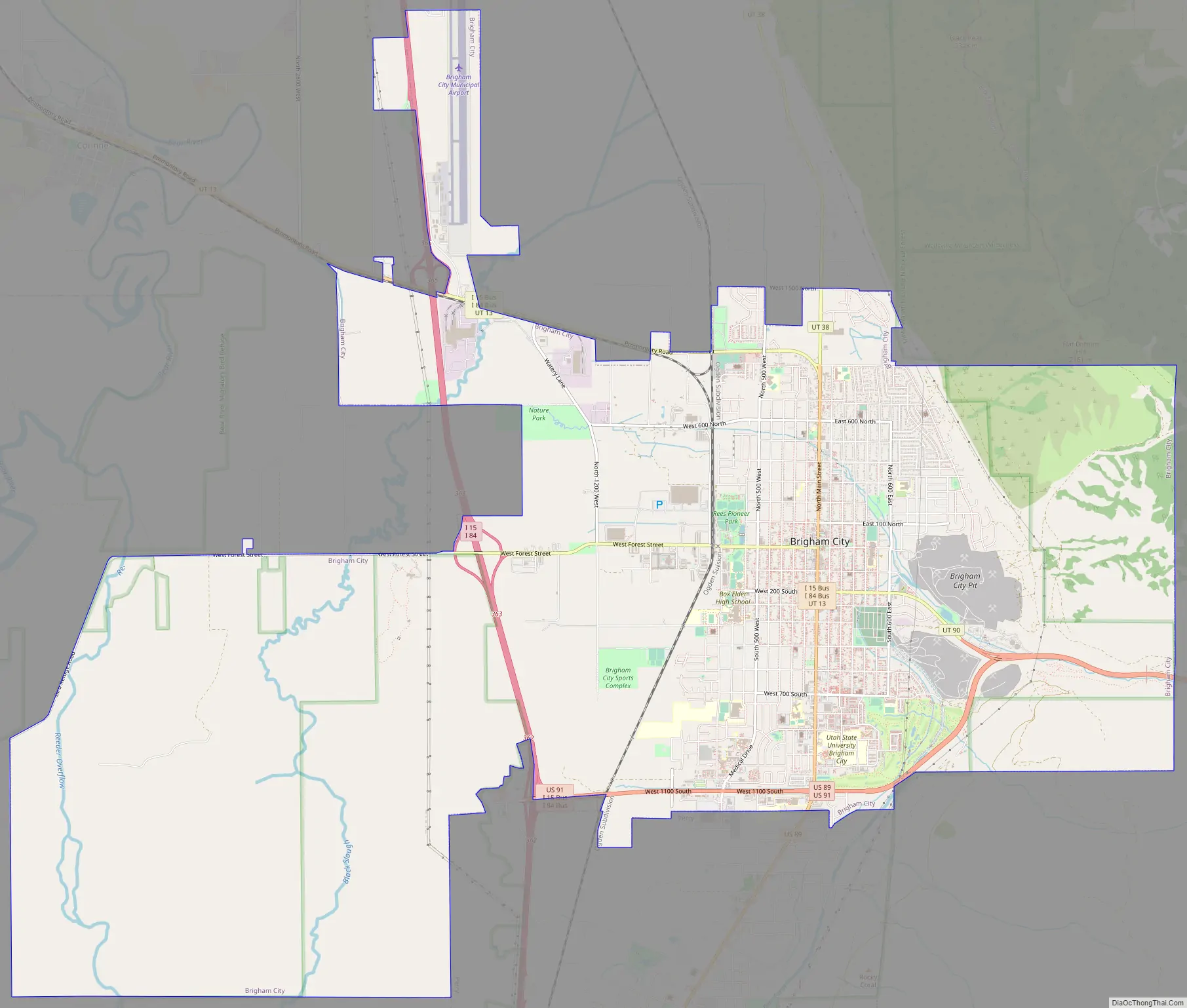
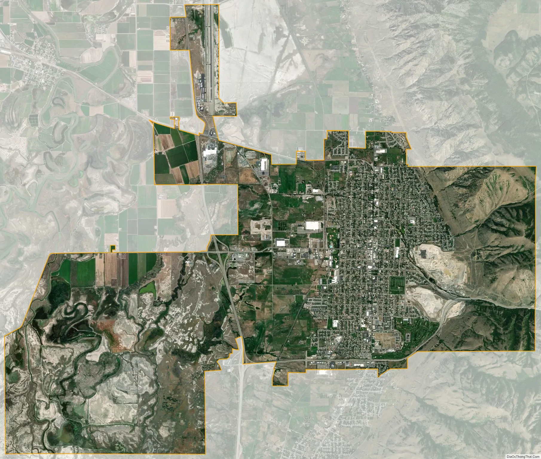
Brigham City city Satellite Map
Geography
Brigham City lies in southeastern Box Elder County on the western slopes of the Wellsville Mountains, a branch of the Wasatch Range, at the western end of Box Elder Canyon. Brigham City is generally considered to be the northern end of the Wasatch Front. To the west is a large, flat region of desert scrub, eventually giving way to marshlands on the edge of the Great Salt Lake. Interstates 15 and 84 pass to the west of the city together. U.S. 89 approaches from the south and U.S. 91 comes from I-15/84 to the west. They intersect in the city, climbing through Box Elder Canyon together. Two routes of the Utah Transit Authority’s bus system also provide access to Brigham City from Ogden, and it also has a Greyhound bus stop. It is planned to be the northern terminus of the FrontRunner commuter rail line by 2020.
According to the United States Census Bureau, the city has a total area of 24.2 square miles (62.6 km), of which 23.8 square miles (61.7 km) is land and 0.35 square miles (0.9 km), or 1.40%, is water. It lies at an elevation of 4,315 feet (1,315 m).
The climate of Brigham City is generally similar to that of the rest of the Wasatch Front, though slightly cooler. According to the Köppen climate classification, Brigham City has a humid continental climate (Dfb). Snow is heavy in winter with an annual average of 38.3 inches (97 cm), although it is too far north to receive lake-effect snow. Precipitation is light, averaging 15.49 inches (393 mm) annually. Summers are hot, but humidity remains low and overnight temperatures are cool, and winters are cold (but rarely frigid). May is the wettest month, while July is the driest.
See also
Map of Utah State and its subdivision: Map of other states:- Alabama
- Alaska
- Arizona
- Arkansas
- California
- Colorado
- Connecticut
- Delaware
- District of Columbia
- Florida
- Georgia
- Hawaii
- Idaho
- Illinois
- Indiana
- Iowa
- Kansas
- Kentucky
- Louisiana
- Maine
- Maryland
- Massachusetts
- Michigan
- Minnesota
- Mississippi
- Missouri
- Montana
- Nebraska
- Nevada
- New Hampshire
- New Jersey
- New Mexico
- New York
- North Carolina
- North Dakota
- Ohio
- Oklahoma
- Oregon
- Pennsylvania
- Rhode Island
- South Carolina
- South Dakota
- Tennessee
- Texas
- Utah
- Vermont
- Virginia
- Washington
- West Virginia
- Wisconsin
- Wyoming