Portage is a town in Box Elder County, Utah, United States. The population was 245 at the 2010 census. The town received its name from Mormon apostle Lorenzo Snow. He named it Portage after his birthplace of Portage County, Ohio.
| Name: | Portage town |
|---|---|
| LSAD Code: | 43 |
| LSAD Description: | town (suffix) |
| State: | Utah |
| County: | Box Elder County |
| Incorporated: | 1922 |
| Elevation: | 4,367 ft (1,331 m) |
| Total Area: | 2.55 sq mi (6.61 km²) |
| Land Area: | 2.55 sq mi (6.61 km²) |
| Water Area: | 0.00 sq mi (0.00 km²) |
| Total Population: | 245 |
| Population Density: | 106.89/sq mi (41.27/km²) |
| ZIP code: | 84331 |
| Area code: | 435 |
| FIPS code: | 4961590 |
| GNISfeature ID: | 1681817 |
| Website: | www.citlink.net/~portagetown/ |
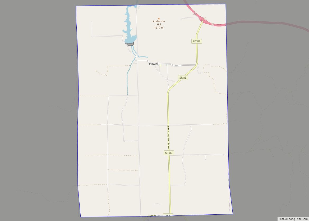
Online Interactive Map
Click on ![]() to view map in "full screen" mode.
to view map in "full screen" mode.
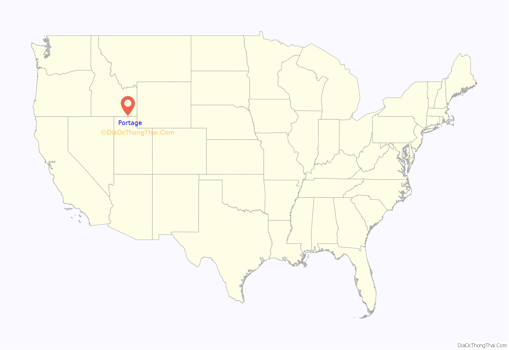
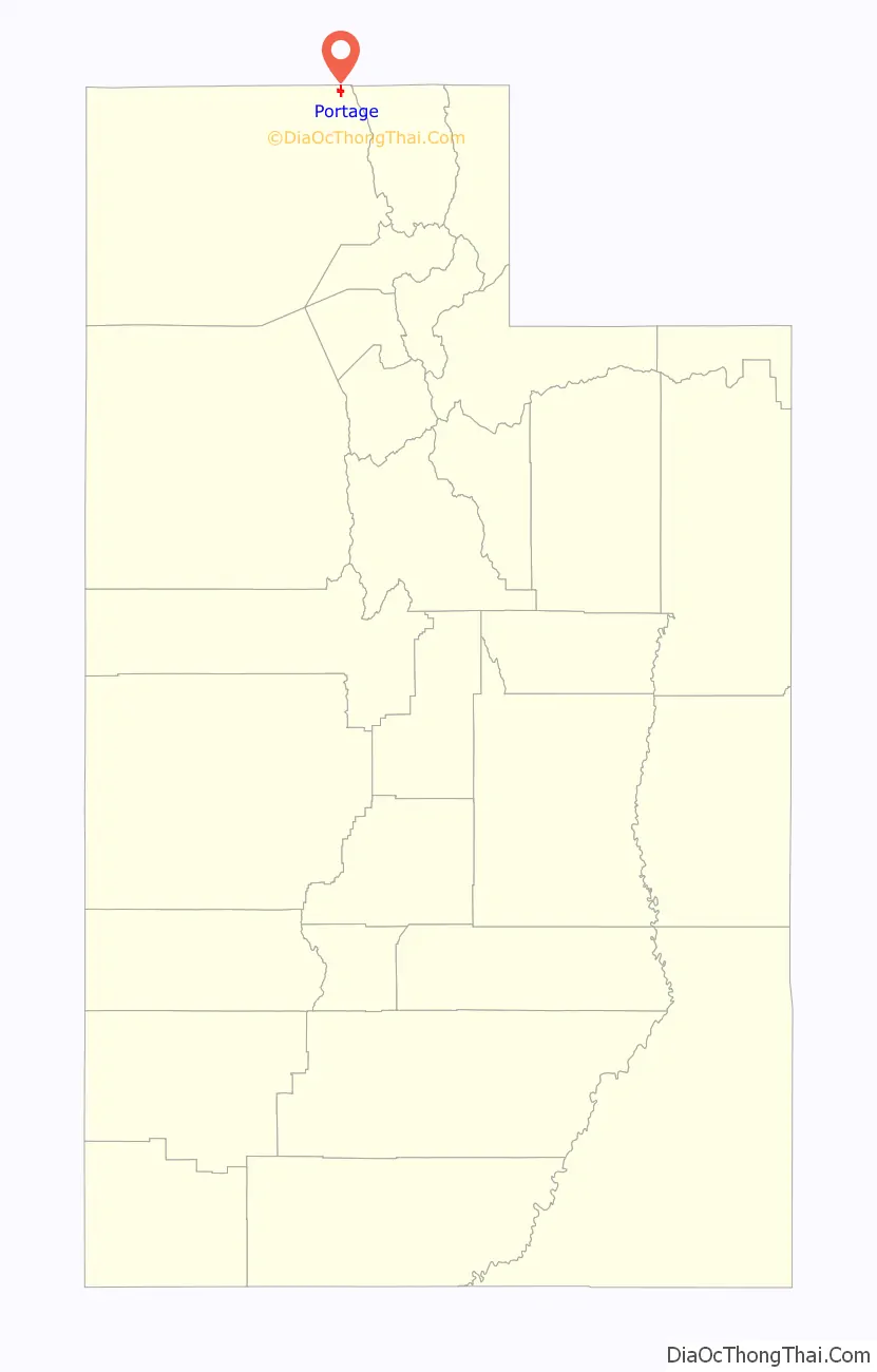
Portage location map. Where is Portage town?
Portage Road Map
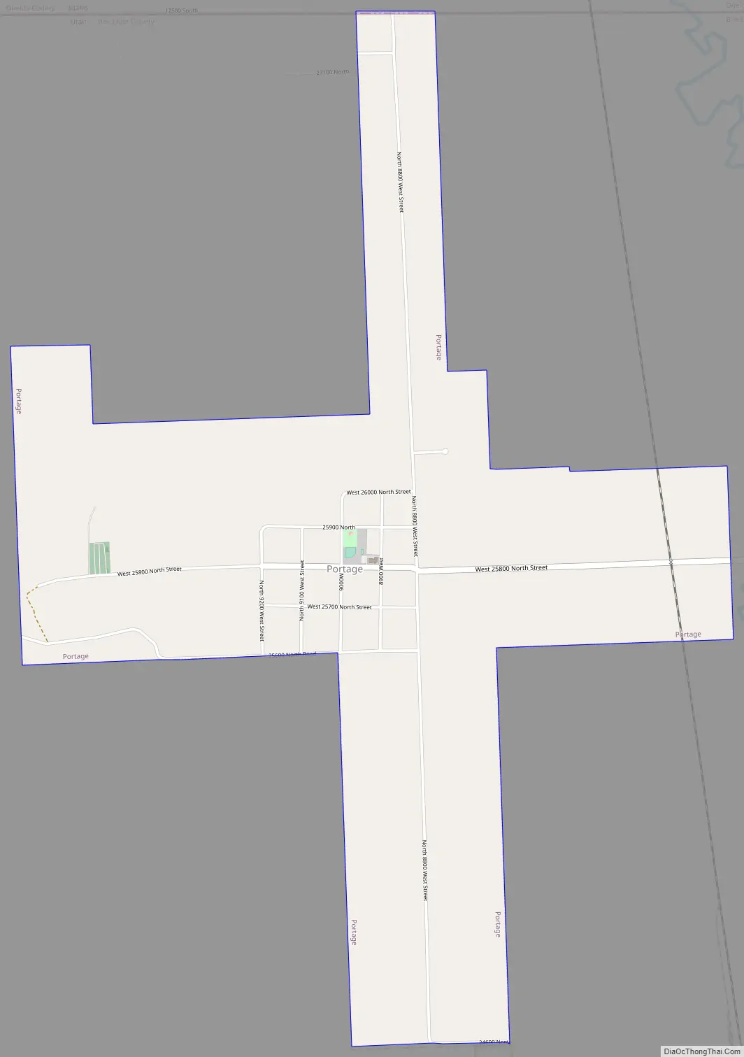
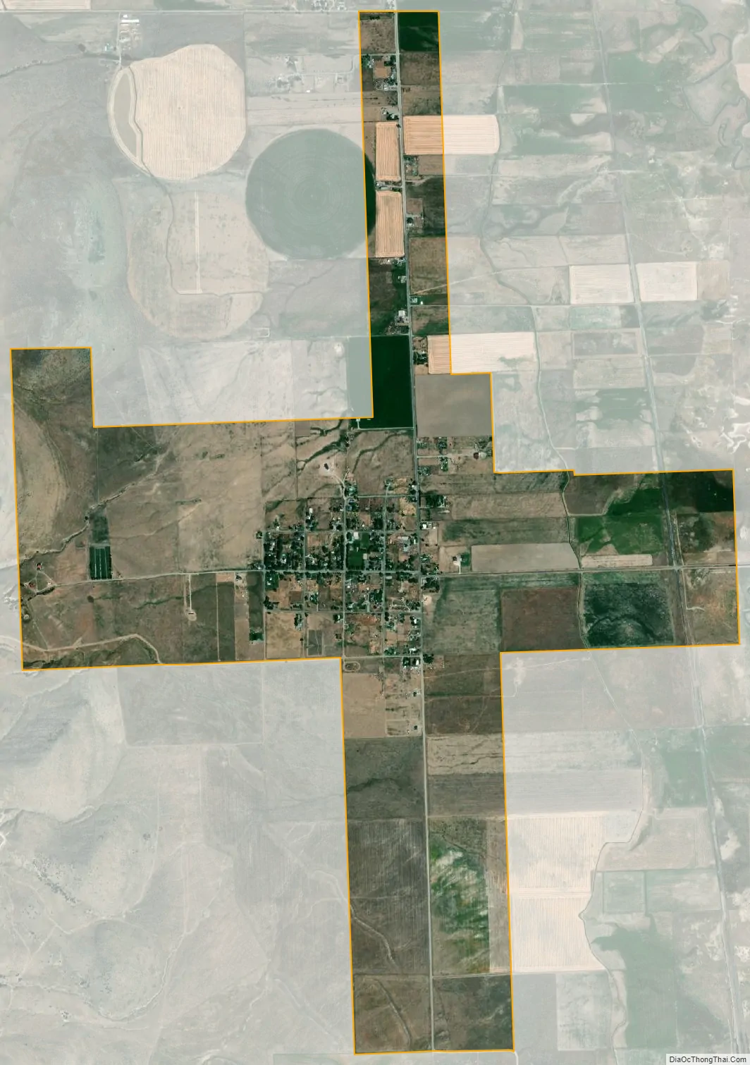
Portage city Satellite Map
Geography
Portage is located near the northeast corner of Box Elder County, with its northern border following the Utah-Idaho state line. It is in the Malad Valley, west of Interstate 15 on former State Route 90.
According to the United States Census Bureau, Portage covers 3.0 square miles (7.7 km), all land.
Climate
This climatic region is typified by large seasonal temperature differences, with warm to hot (and often humid) summers and cold (sometimes severely cold) winters. According to the Köppen Climate Classification system, Portage has a humid continental climate, abbreviated “Dfb” on climate maps.
See also
Map of Utah State and its subdivision: Map of other states:- Alabama
- Alaska
- Arizona
- Arkansas
- California
- Colorado
- Connecticut
- Delaware
- District of Columbia
- Florida
- Georgia
- Hawaii
- Idaho
- Illinois
- Indiana
- Iowa
- Kansas
- Kentucky
- Louisiana
- Maine
- Maryland
- Massachusetts
- Michigan
- Minnesota
- Mississippi
- Missouri
- Montana
- Nebraska
- Nevada
- New Hampshire
- New Jersey
- New Mexico
- New York
- North Carolina
- North Dakota
- Ohio
- Oklahoma
- Oregon
- Pennsylvania
- Rhode Island
- South Carolina
- South Dakota
- Tennessee
- Texas
- Utah
- Vermont
- Virginia
- Washington
- West Virginia
- Wisconsin
- Wyoming