Tremonton is a city in Box Elder County, Utah. The population was 7,647 at the time of the 2010 census.
| Name: | Tremonton city |
|---|---|
| LSAD Code: | 25 |
| LSAD Description: | city (suffix) |
| State: | Utah |
| County: | Box Elder County |
| Incorporated: | January 6, 1906 |
| Elevation: | 4,324 ft (1,318 m) |
| Total Area: | 8.02 sq mi (20.77 km²) |
| Land Area: | 8.02 sq mi (20.77 km²) |
| Water Area: | 0.00 sq mi (0.00 km²) |
| Total Population: | 9,894 |
| Population Density: | 1,148.17/sq mi (443.31/km²) |
| ZIP code: | 84337 |
| Area code: | 435 |
| FIPS code: | 4977120 |
| GNISfeature ID: | 1433664 |
| Website: | www.tremontoncity.com |
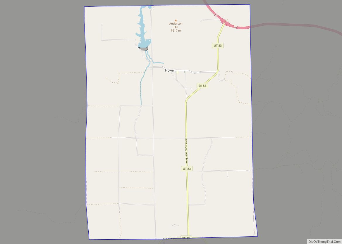
Online Interactive Map
Click on ![]() to view map in "full screen" mode.
to view map in "full screen" mode.
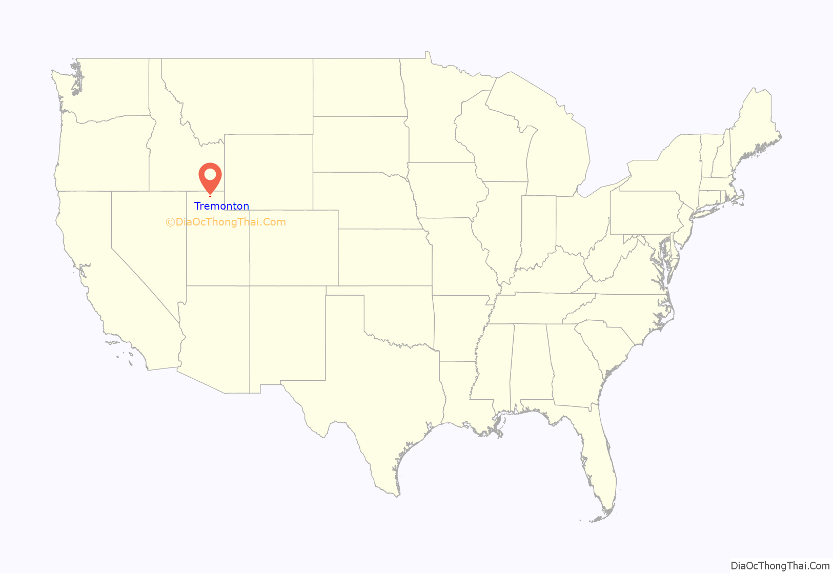
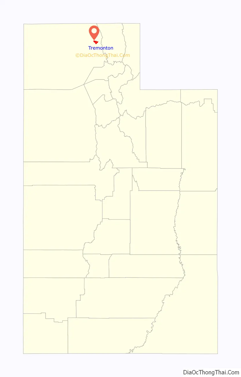
Tremonton location map. Where is Tremonton city?
History
Although the first settlers came to the Tremonton area in 1888, it remained largely uninhabited until just before 1900, when land agents started promoting the Bear River Valley as a place for Midwestern farmers to relocate. Small groups from Nebraska and Illinois began to arrive in 1898. These settlers were a diverse blend of Protestant faiths, in contrast to their mostly Mormon neighbors. Then an Apostolic Christian Church group came in 1901–1904. The main body was from Tremont, Illinois, joined by a few families from Ohio and Kansas. Mostly of German descent, this group was referred to as the “German colony”.
When a townsite was laid out in 1903, the new town was named “Tremont” at the request of the German colony. Within four years, the post office had it renamed “Tremonton” due to confusion with the central Utah town of Fremont. Around 1907 the congregation was caught up in a larger schism of the Apostolic Church. Some moved back to the Midwest, and the German colony came to an end. But the church left a permanent mark in the name of Tremonton.
Tremonton Road Map
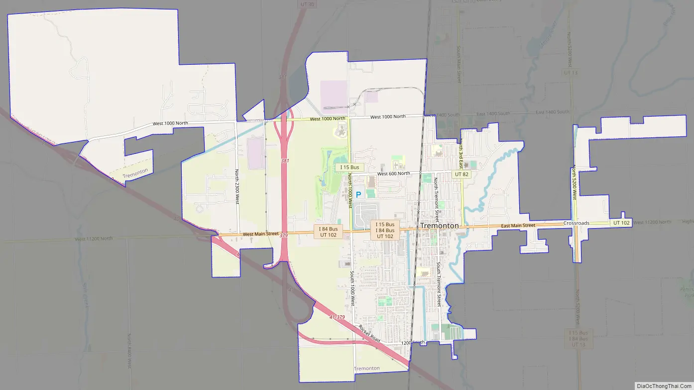
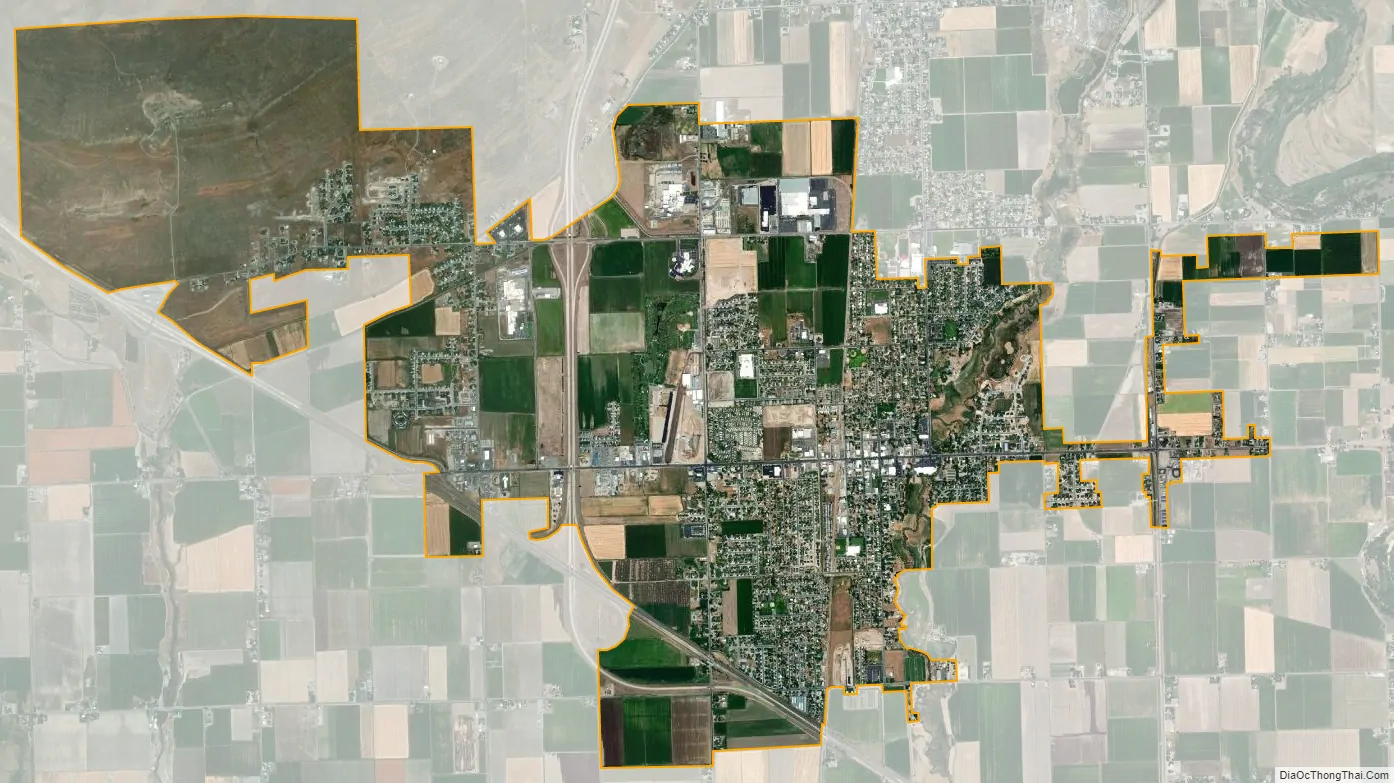
Tremonton city Satellite Map
Geography
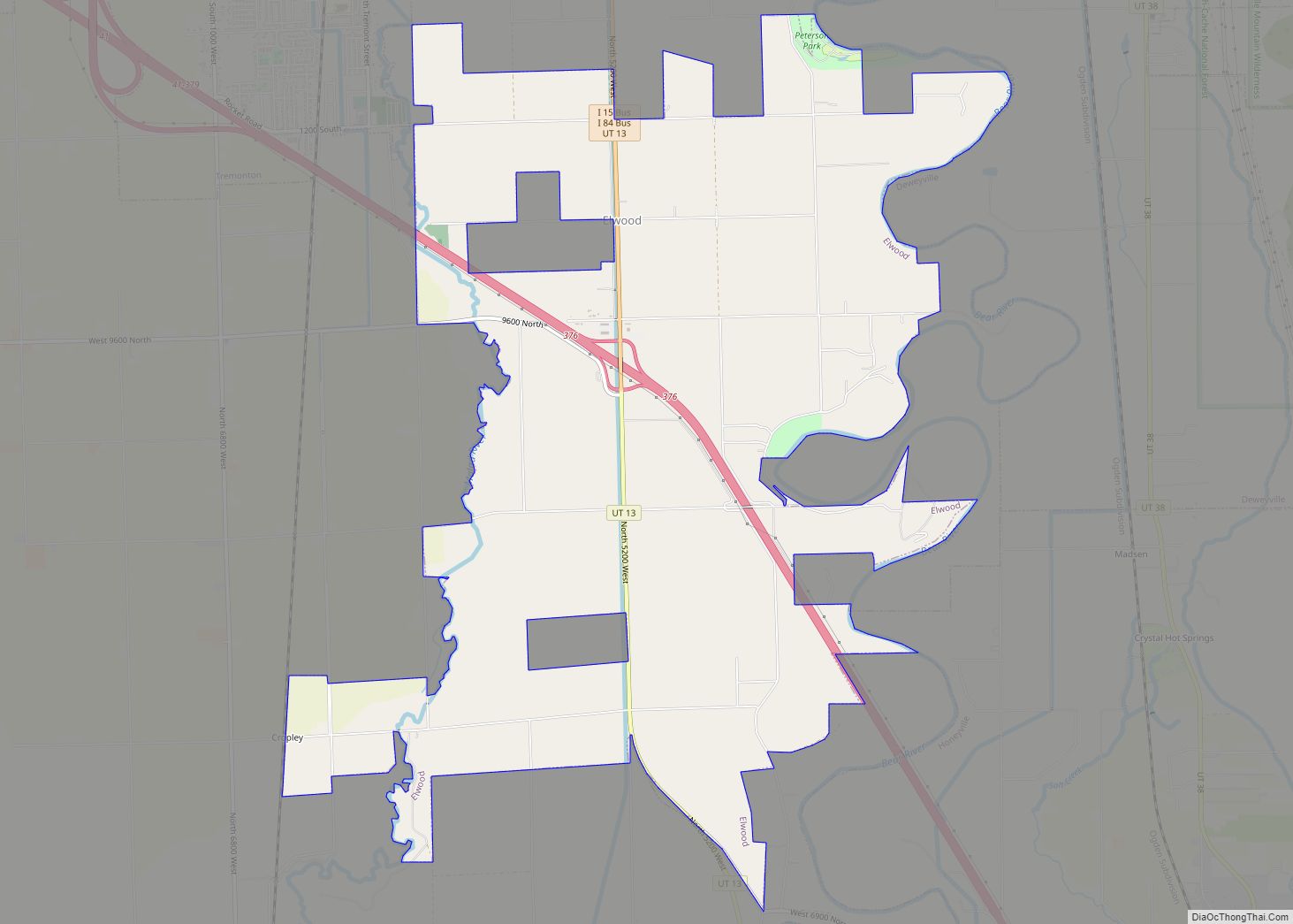
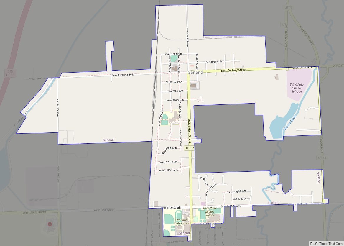
Tremonton lies in the Bear River Valley in northeastern Box Elder County. The Malad River flows through the city. According to the United States Census Bureau, the city has a total area of 7.8 square miles (20.2 km), all land. Tremonton is located near the junction of Interstate 15 and Interstate 84. It is bordered on the north by the city of Garland, with which it is closely-associated. The town of Elwood is located 2 miles (3 km) to the southeast.
See also
Map of Utah State and its subdivision: Map of other states:- Alabama
- Alaska
- Arizona
- Arkansas
- California
- Colorado
- Connecticut
- Delaware
- District of Columbia
- Florida
- Georgia
- Hawaii
- Idaho
- Illinois
- Indiana
- Iowa
- Kansas
- Kentucky
- Louisiana
- Maine
- Maryland
- Massachusetts
- Michigan
- Minnesota
- Mississippi
- Missouri
- Montana
- Nebraska
- Nevada
- New Hampshire
- New Jersey
- New Mexico
- New York
- North Carolina
- North Dakota
- Ohio
- Oklahoma
- Oregon
- Pennsylvania
- Rhode Island
- South Carolina
- South Dakota
- Tennessee
- Texas
- Utah
- Vermont
- Virginia
- Washington
- West Virginia
- Wisconsin
- Wyoming