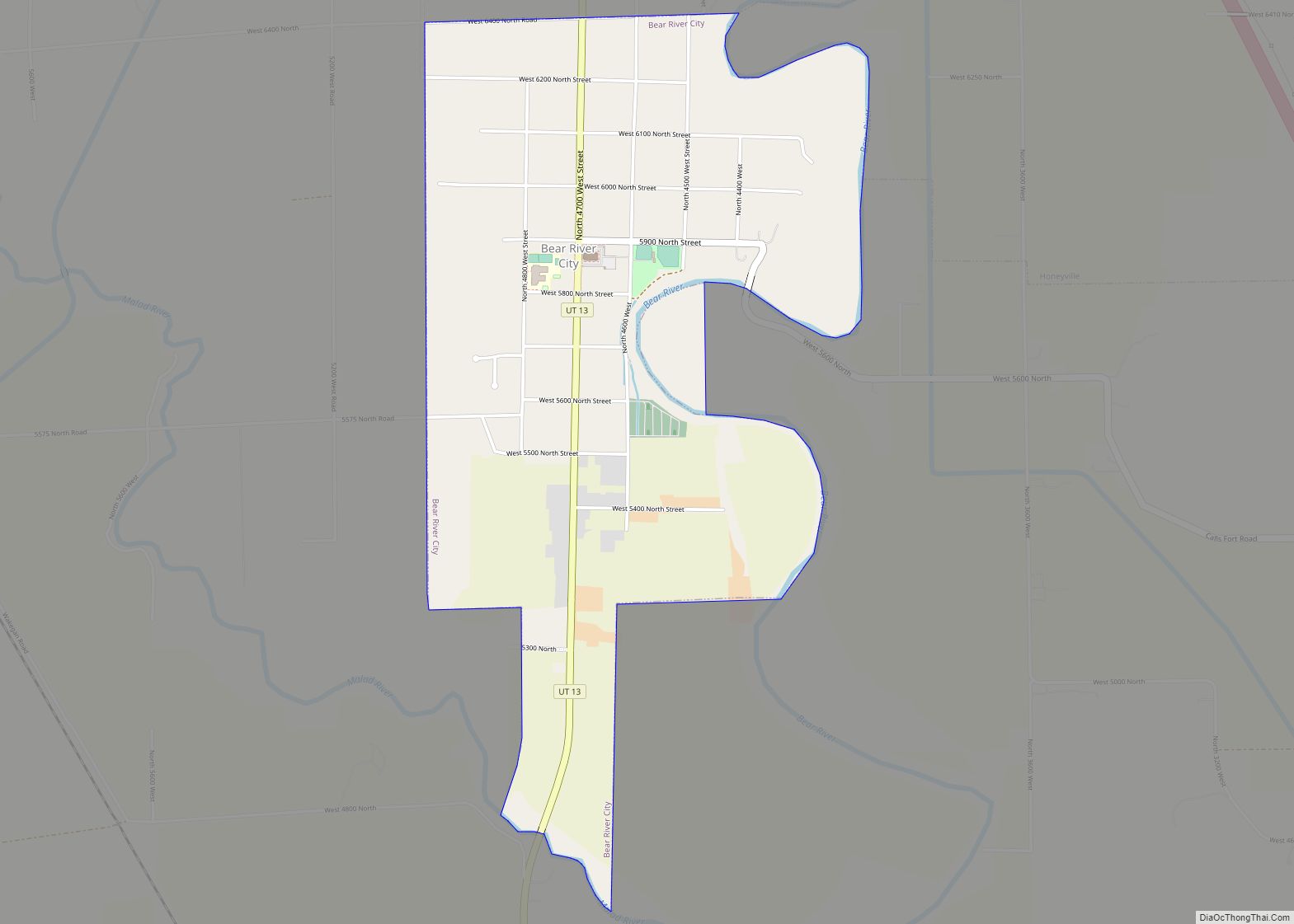
Snowville is a town in Box Elder County, Utah, United States. The population was 167 at the 2010 census.
| Name: | Snowville town |
|---|---|
| LSAD Code: | 43 |
| LSAD Description: | town (suffix) |
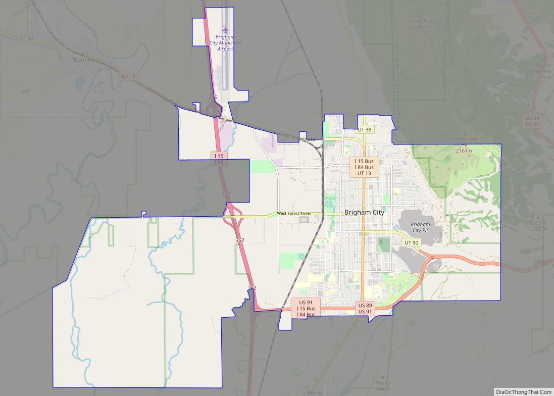
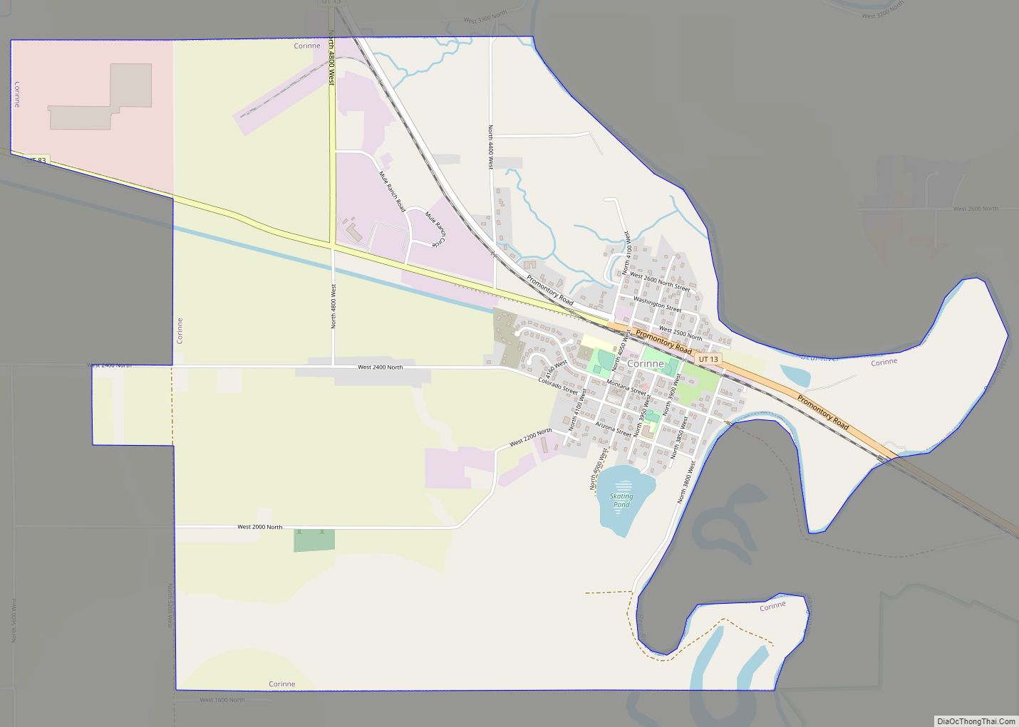
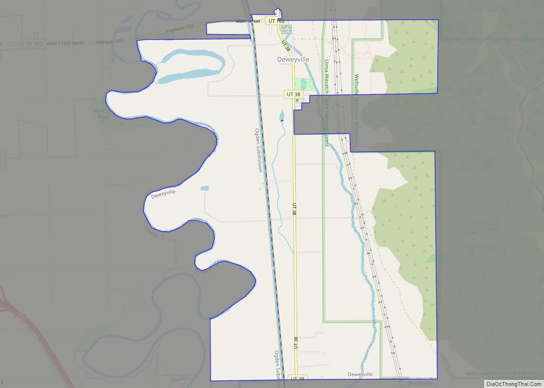
| State: | Utah |
| County: | Box Elder County |
| Incorporated: | November 6, 1933 |
| Elevation: | 4,547 ft (1,386 m) |
| Total Area: | 1.55 sq mi (4.02 km²) |
| Land Area: | 1.55 sq mi (4.02 km²) |
| Water Area: | 0.00 sq mi (0.00 km²) |
| Total Population: | 167 |
| Population Density: | 111.40/sq mi (43.01/km²) |
| ZIP code: | 84336 |
| Area code: | 435 |
| FIPS code: | 4969970 |
| GNISfeature ID: | 1432604 |
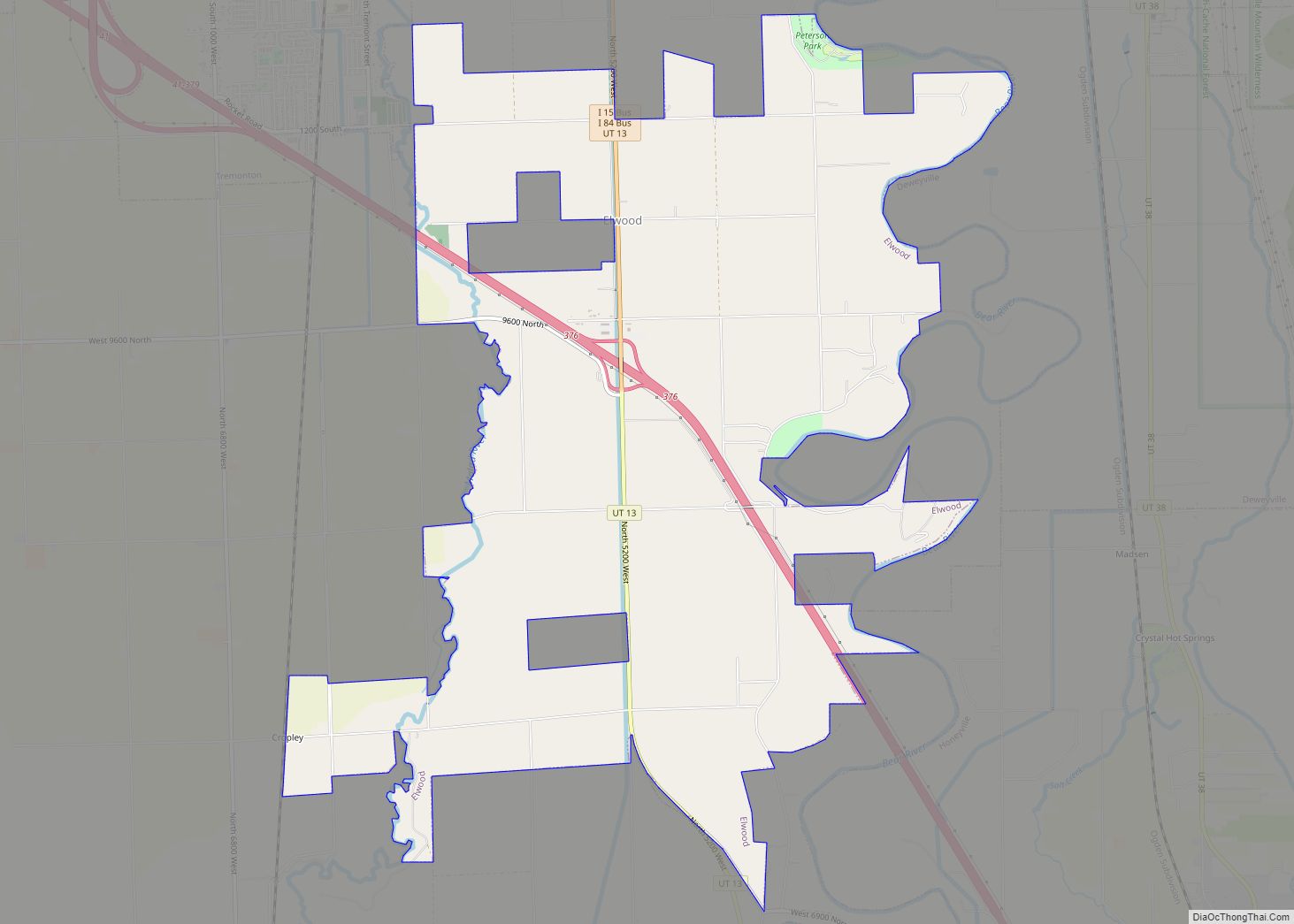
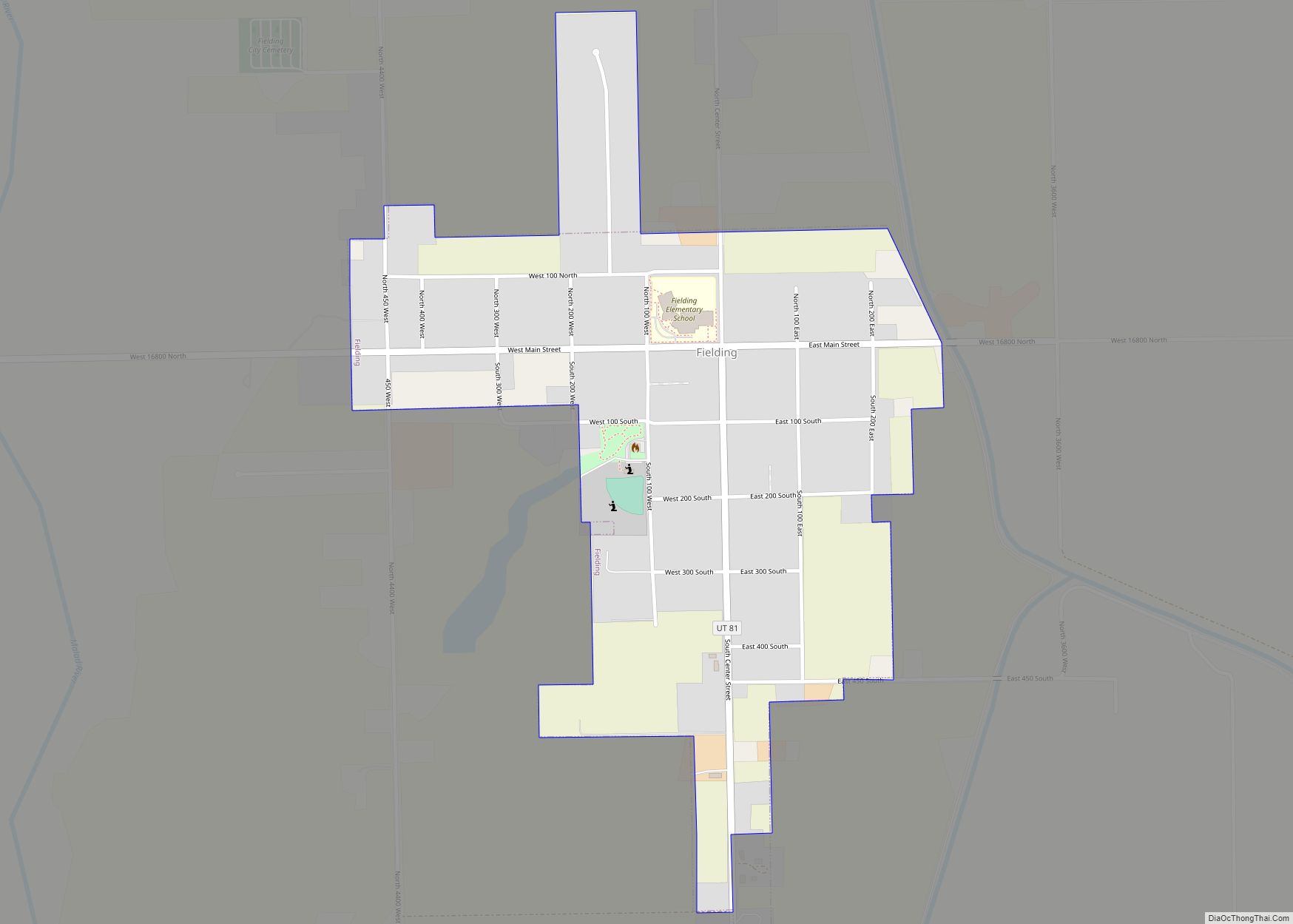
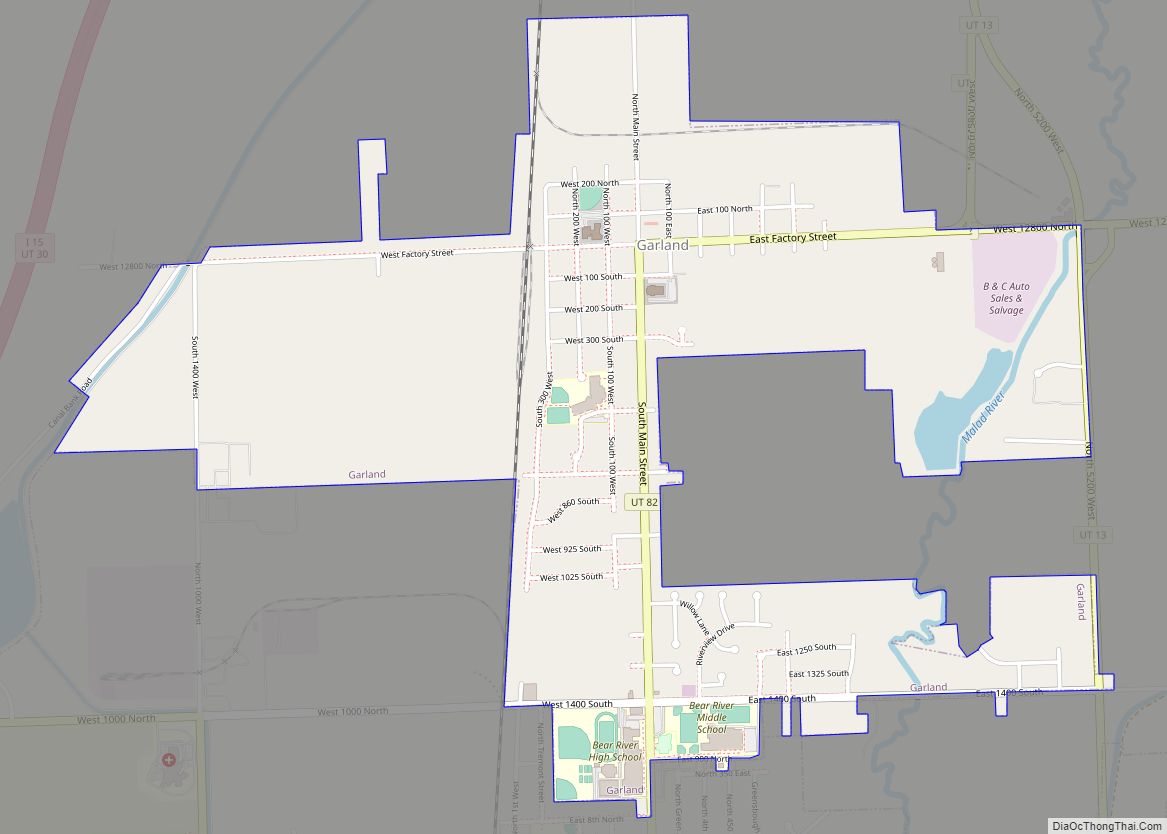
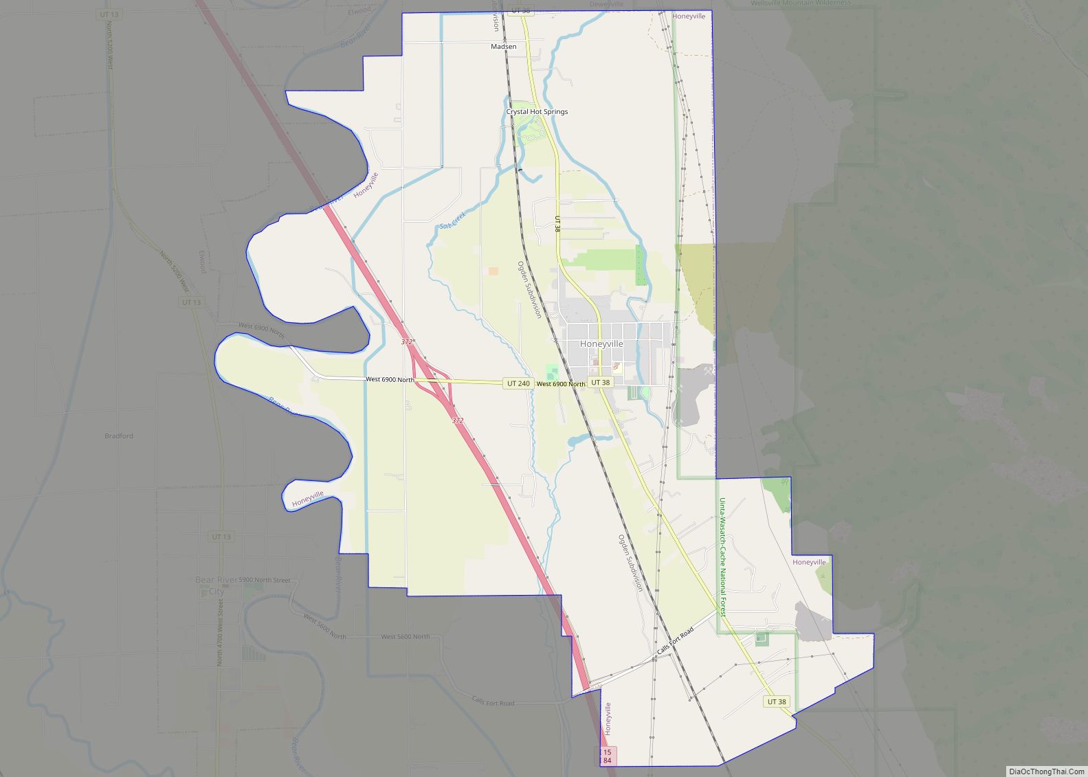
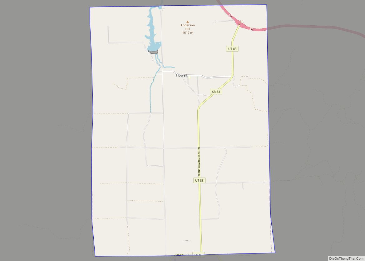
Online Interactive Map
Click on ![]() to view map in "full screen" mode.
to view map in "full screen" mode.
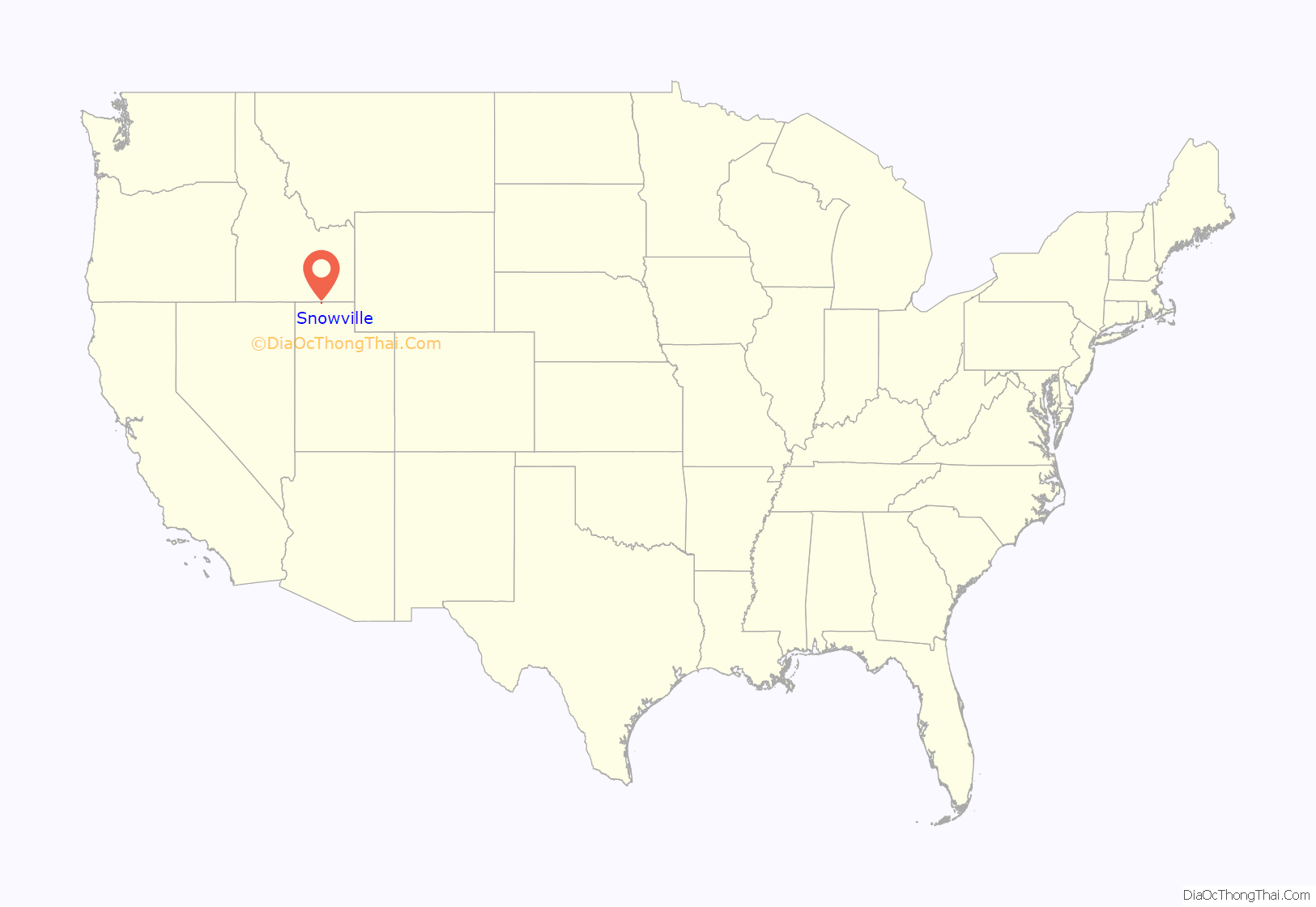
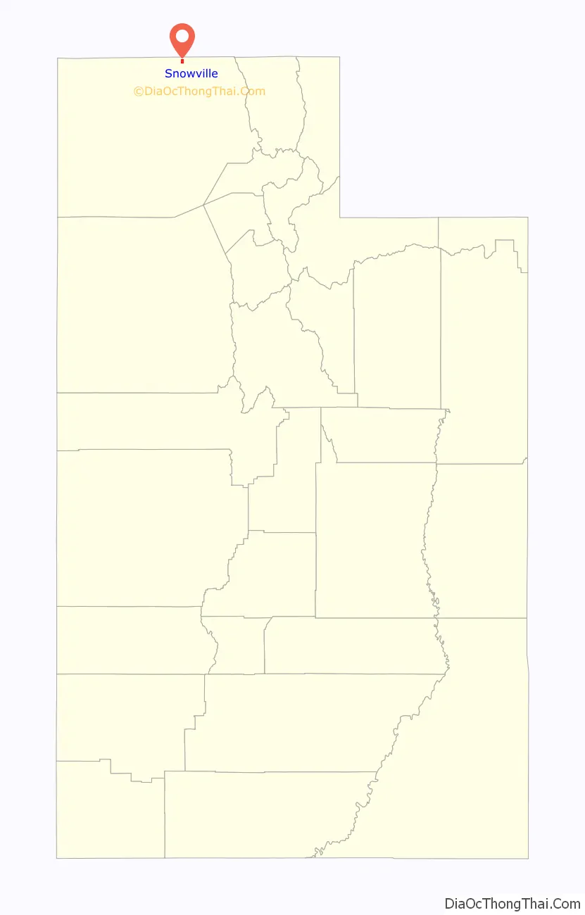
Snowville location map. Where is Snowville town?
History
Curlew Valley, named after the curlew snipe that nests there, extends from Snowville, Utah, to the Idaho towns of Stone and Holbrook. The first recorded settlers were Peter Skene Ogden’s large party of trappers that camped on Deep Creek December 27, 1828.
Some of the discharged members of the Mormon Battalion, on their way home from California to Salt Lake City on September 18, 1848, camped on Deep Creek and also in a cave one mile (1.6 km) east called Hollow Rock.
The beginning of Deep Creek is a large spring at Holbrook which runs through the center of the valley and has never varied even in dry years. About one mile (1.6 km) southwest is Rocky Ford, where the pioneers were able to pass on solid rock.
In 1869, Joseph William Robbins , Thomas Showell, and William M. Harris settled at the Curlew Sinks, ten miles (16 km) west of here, where Deep Creek sinks into the ground. The old pioneer trail and the stage line went through their ranch.
The first townsite in the Curlew Valley was Snowville. Settled at the direction of Brigham Young, the community was named in honor of Lorenzo Snow, an apostle who became President of the Church of Jesus Christ of Latter-day Saints from 1898 to 1901.
Snowville Road Map
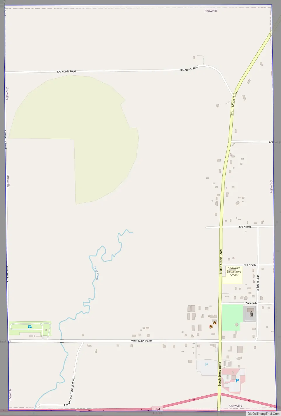
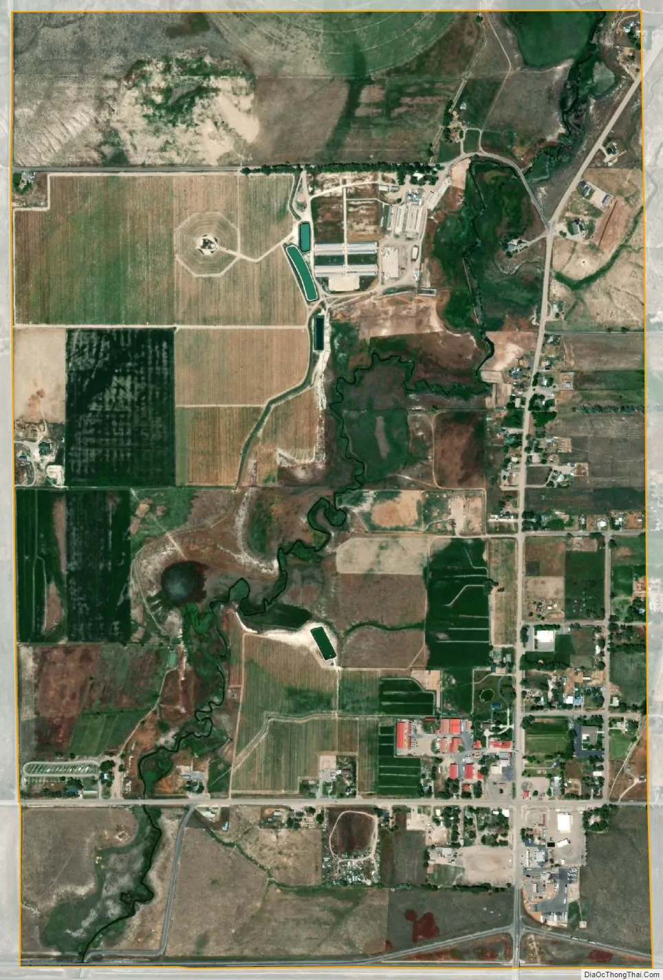
Snowville city Satellite Map
Geography
Snowville is located at an elevation of 4,551 feet (1,387 m).
According to the United States Census Bureau, the town has a total area of 1.5 square miles (3.9 km), all land.
Climate
According to the Köppen Climate Classification system, Snowville has a warm-summer continental climate (Dfb).
See also
Map of Utah State and its subdivision: Map of other states:- Alabama
- Alaska
- Arizona
- Arkansas
- California
- Colorado
- Connecticut
- Delaware
- District of Columbia
- Florida
- Georgia
- Hawaii
- Idaho
- Illinois
- Indiana
- Iowa
- Kansas
- Kentucky
- Louisiana
- Maine
- Maryland
- Massachusetts
- Michigan
- Minnesota
- Mississippi
- Missouri
- Montana
- Nebraska
- Nevada
- New Hampshire
- New Jersey
- New Mexico
- New York
- North Carolina
- North Dakota
- Ohio
- Oklahoma
- Oregon
- Pennsylvania
- Rhode Island
- South Carolina
- South Dakota
- Tennessee
- Texas
- Utah
- Vermont
- Virginia
- Washington
- West Virginia
- Wisconsin
- Wyoming