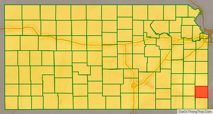
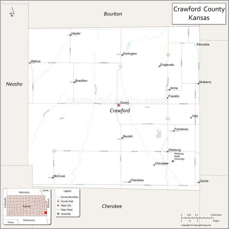
Crawford County (county code CR) is a county located in Southeast Kansas. As of the 2020 census, the county population was 38,972. Its county seat is Girard, and its most populous city is Pittsburg. The county was named in honor of Samuel J. Crawford, Governor of Kansas.
Located in the Osage Cuestas and Cherokee Lowlands, it lies halfway between Kansas City, Missouri and Tulsa, Oklahoma. Crawford County, and much of southeast Kansas, was founded on coal mining, the Pittsburg-Weir Coalfield being located here, and is still known for mining today. Pittsburg State University is located in Crawford County.
| Name: | Crawford County |
|---|---|
| FIPS code: | 20-037 |
| State: | Kansas |
| Founded: | February 13, 1867 |
| Named for: | Samuel J. Crawford |
| Seat: | Girard |
| Largest city: | Pittsburg |
| Total Area: | 595 sq mi (1,540 km²) |
| Land Area: | 590 sq mi (1,500 km²) |
| Total Population: | 38,972 |
| Population Density: | 66.1/sq mi (25.5/km²) |
| Time zone: | UTC−6 (Central) |
| Summer Time Zone (DST): | UTC−5 (CDT) |
| Website: | CrawfordCountyKansas.org |
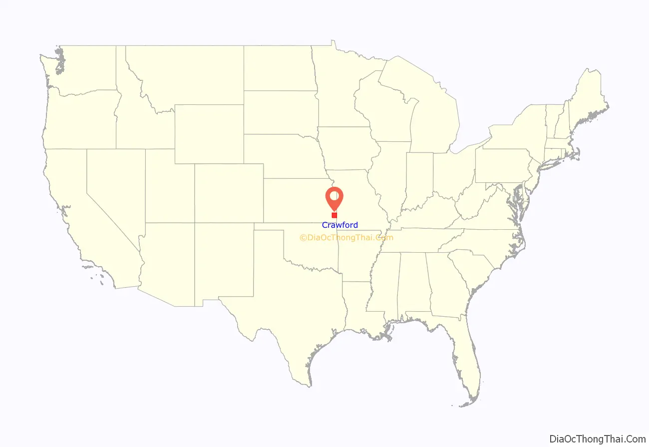
Crawford County location map. Where is Crawford County?
History
Early history
For many millennia, the Great Plains of North America was inhabited by nomadic Native Americans. From the 16th century to 18th century, the Kingdom of France claimed ownership of large parts of North America. In 1762, after the British defeated France in the French and Indian War, France secretly ceded New France to Spain, per the Treaty of Fontainebleau.
19th century
In 1802, Spain returned most of the former New France land west of the Mississippi to France, but kept title to about 7,500 square miles. In 1803, the United States acquired much of the West and most of the land for modern-day Kansas as part of the 828,000-square mile Louisiana Purchase, at a cost of 2.83 cents per acre.
In 1854, the Kansas Territory was organized, and in 1861 Kansas was admitted as the 34th U.S. state. The preceding years had been filled with violence as settlers arrived on both sides of the slavery question; the residents voting for Kansas to enter as a free state were the majority. In 1867, Crawford County was established (formed from Bourbon and Cherokee counties). It is named for Samuel J. Crawford, who was the governor in office at the time.
20th century
In the early 20th century, Crawford County was often referred to as the “Little Balkans”, because of the many immigrants who came here from that area of Europe. They came to work in the mines, industrial work that did not require much English in the beginning. This area was the site of a number of illegal bootlegging operations, most of which were organized by immigrants in order to supplement their meager earnings as strip miners. During his term, Governor Walter R. Stubbs of Kansas made it his mission to stamp out this practice. According to the criminal justice scholar Ken Peak, “The [Little] Balkans drove [Stubbs] absolutely nuts. He had his hands full and sent people down to the Balkans to clean it up”. Despite this crack down, however, the governor was unable to eradicate the crime completely from the area.
21st century
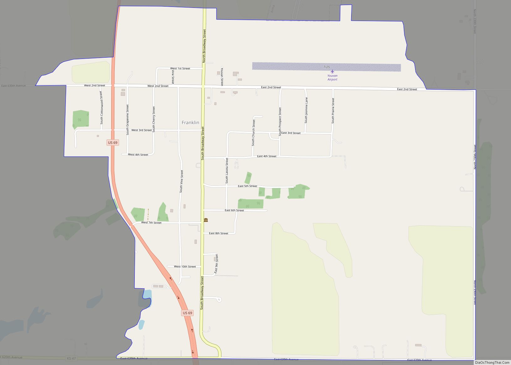
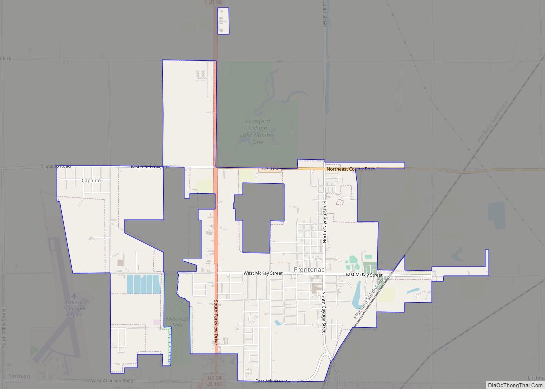
On Sunday, May 4, 2003, a violent F4 tornado touched down in western Crawford County, several miles west of Frontenac at around 4:40 p.m. The tornado remained on the ground throughout Crawford County until it entered neighboring Barton County, Missouri—traveling a total of 35 miles (56 km) and ending near Liberal, Missouri. The towns of Ringo, Franklin, and Mulberry, all in Crawford County, were devastated. The tornado cut a path of destruction roughly one quarter mile wide. Several F4 tornadoes hit Kansas, Missouri, and several other states that day, including the Kansas City metropolitan area. Six deaths were reported in Kansas, and Governor Sebelius declared much of eastern and southeastern Kansas a disaster area, including Crawford County.
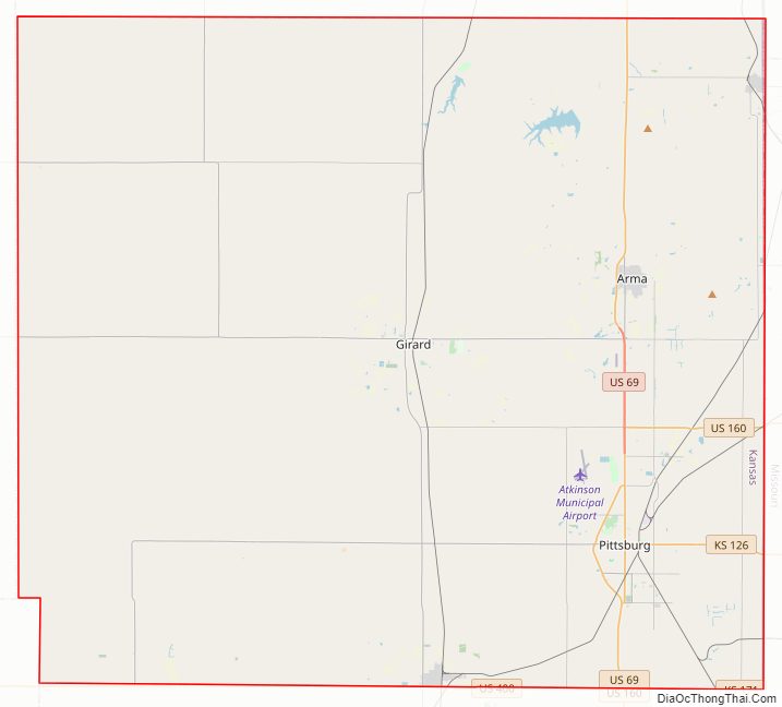
Crawford County Road Map
Geography
According to the United States Census Bureau, the county has a total area of 595 square miles (1,540 km), of which 590 square miles (1,500 km) is land and 5.3 square miles (14 km) (0.9%) is water.
Adjacent counties
- Bourbon County (north)
- Vernon County, Missouri (northeast)
- Barton County, Missouri (east)
- Jasper County, Missouri (southeast)
- Cherokee County (south)
- Labette County (southwest)
- Neosho County (west)
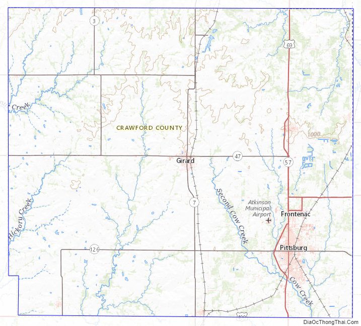
Crawford County Topographic Map
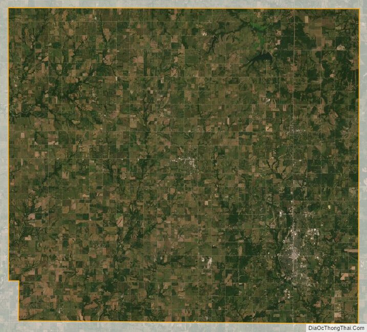
Crawford County Satellite Map
Crawford County Outline Map