Henderson County is a county in the U.S. state of Kentucky. The county is located in western Kentucky on the Ohio River across from Evansville, Indiana. As of the 2020 census, the population was 44,793. Its county seat is Henderson.
The county was formed in 1798 and named for Richard Henderson who purchased 17,000,000 acres (69,000 km) of land from the Cherokee, part of which would later make up the county.
Henderson County lies within the West Kentucky Coal Field area. It is also part of the Evansville, IN-KY Metropolitan Statistical Area.
| Name: | Henderson County |
|---|---|
| FIPS code: | 21-101 |
| State: | Kentucky |
| Founded: | 1798 |
| Named for: | Richard Henderson |
| Seat: | Henderson |
| Largest city: | Henderson |
| Total Area: | 466 sq mi (1,210 km²) |
| Land Area: | 437 sq mi (1,130 km²) |
| Total Population: | 44,793 |
| Population Density: | 96/sq mi (37/km²) |
| Time zone: | UTC−6 (Central) |
| Summer Time Zone (DST): | UTC−5 (CDT) |
| Website: | hendersonky.us |
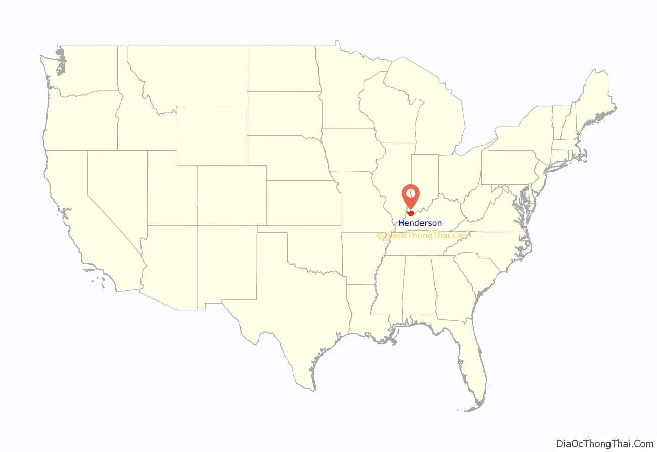
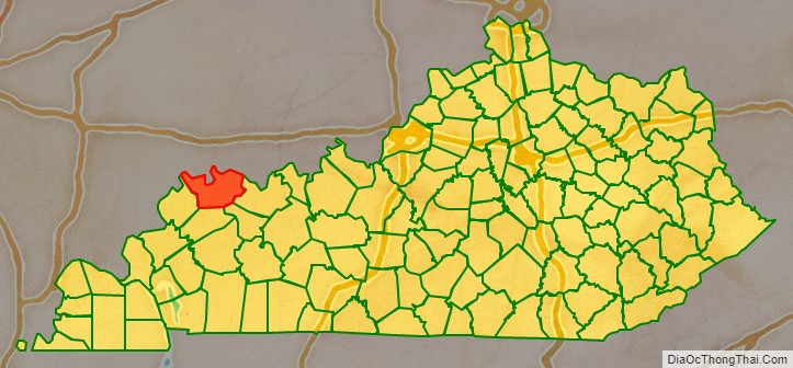
Henderson County location map. Where is Henderson County?
History
The Transylvania Co., also known as Richard Henderson & Co., in 1775 purchased from the Cherokees a large swath of wilderness between the Kentucky River and Cumberland River, encompassing approximately half of what would become Kentucky as well as a portion of northern Tennessee. Their intention was to establish a 14th colony to be called Transylvania Colony. To help attract people to purchase land and populate the region, Henderson & Co. hired pioneer, explorer, woodsman, and frontiersman Daniel Boone to lead settlers through Cumberland Gap and direct woodsmen to cut the Wilderness Road through the Kentucky forest. However, the Continental Congress declined to act on Transylvania Co.’s petition without the consent of Virginia and North Carolina, which laid claim to the disputed lands.
In December 1778, Virginia’s Assembly declared the Transylvania claim void. In compensation, Henderson and his partners received a grant of 200,000 acres on the Ohio River below the mouth of Green River. In 1797, the surviving Transylvania Company investors and heirs sent Samuel Hopkins and Thomas Allin to the Henderson Grant land to lay out a town and mark off land for the respective investors. The location they selected for the town was the site of an existing settlement that sat high above the Ohio River called Red Banks. The new town was subsequently named Henderson.
Henderson County was created out of Christian County in December 1798, and was officially established in May 1799. Henderson was designed as its county seat. The county initially encompassed a larger area than it does today. It was reduced in size when Hopkins County was formed in 1806, when Union County was established in 1811, and when Webster County was established in 1860.
In August 1799, serial killers Micajah and Wiley Harpe came to the house of Moses Stegall, near what is now Dixon in Webster County, and murdered his wife, child, and a visitor. Moses Stegall later tracked down the brothers, and killed Micajah Harpe, cutting off his head and hanging it in a tree as a warning to other outlaws. Wiley Harpe was captured and hanged four years later in Mississippi.
During the 19th century, a cultivar of dark tobacco raised in Henderson County became very popular in Great Britain and continental Europe. Henderson became the largest dark-tobacco market in the world, generating considerable wealth in Henderson County. Around 1880, Henderson had 17 stemmeries in the city and 18 in the county. Stemmeries were where tobacco was stripped from its stem and made ready for use. However, tobacco production in Henderson County declined through the 20th century and early 21st century, with few farmers still raising the labor-intensive crop.
A peninsula across the Ohio from Henderson, which now forms Union Township, Vanderburgh County, Indiana, was the subject of Handly’s Lessee v. Anthony, a U.S. Supreme Court case in 1820. An area known as “Green River Island” is part of Kentucky, even though it is on the Indiana side of the Ohio River. The Ellis Park Race Course is located there.
A workplace shooting occurred at an Atlantis Plastics factory in Henderson, Kentucky, United States on June 25, 2008. The gunman, 25-year-old Wesley Neal Higdon, shot and killed five people and critically injured a sixth, before taking his own life. The mass murder is the worst in the history of Henderson County, surpassing the triple homicides that took place in 1799 and 1955.
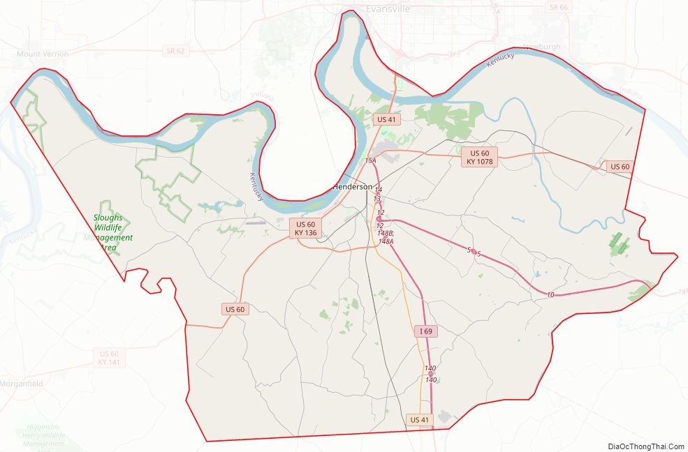
Henderson County Road Map
Geography
According to the United States Census Bureau, the county has a total area of 466 square miles (1,210 km), of which 437 square miles (1,130 km) is land and 30 square miles (78 km) (6.4%) is water. The county’s northern border with Indiana is mostly formed by the Ohio River, though some of the county lies north of the river.
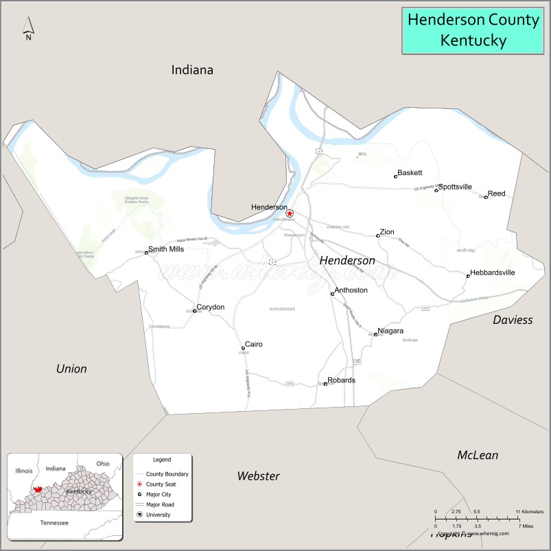
Adjacent counties
- Posey County, Indiana (northwest)
- Vanderburgh County, Indiana (north)
- Warrick County, Indiana (northeast)
- Daviess County (east)
- McLean County (southeast)
- Webster County (south)
- Union County (west)
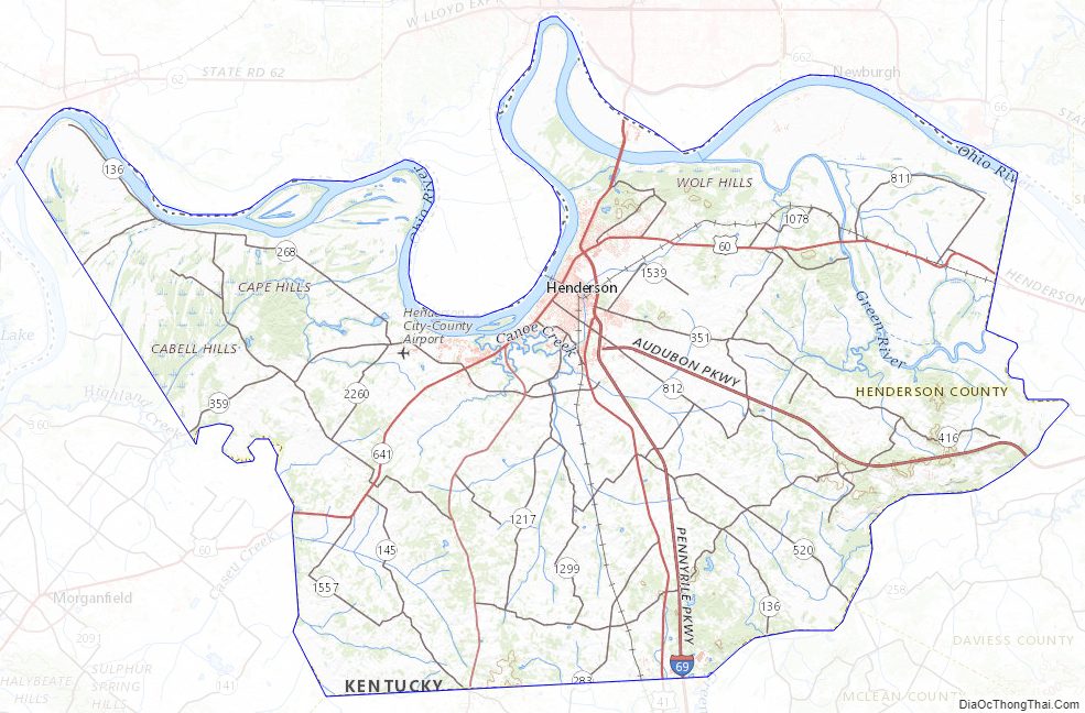
Henderson County Topographic Map
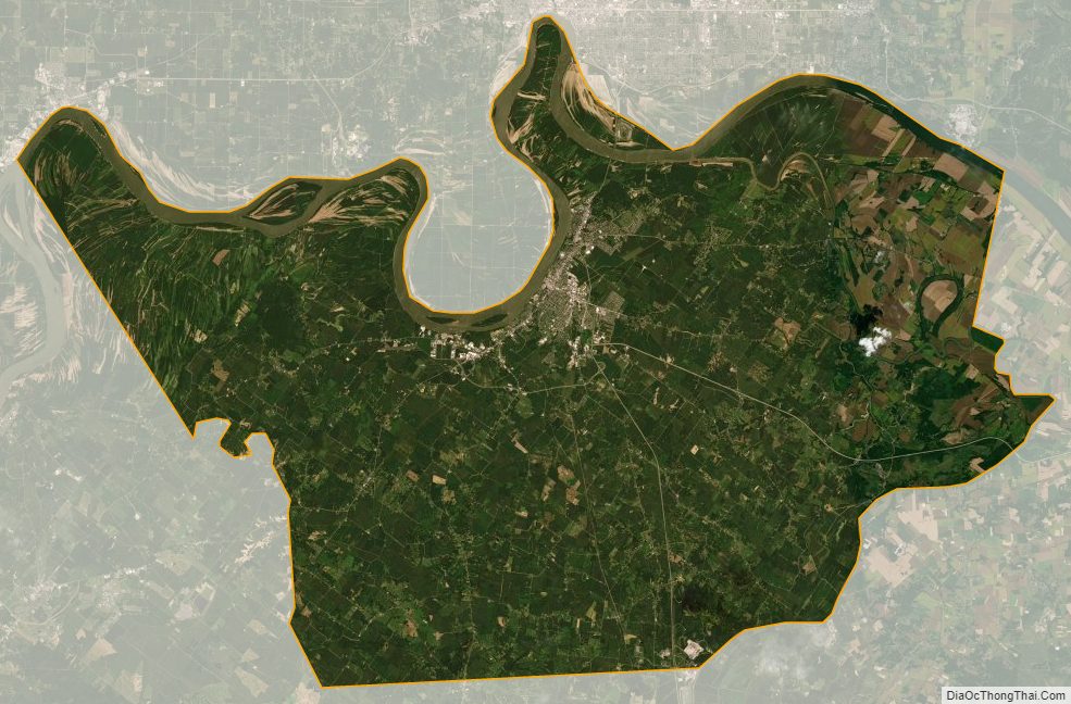
Henderson County Satellite Map
Henderson County Outline Map