Corydon (/ˈkɒrɪdən/) is a home rule-class city and former coal town in Henderson County, Kentucky, United States. The population was 720 at the 2010 census.
| Name: | Corydon city |
|---|---|
| LSAD Code: | 25 |
| LSAD Description: | city (suffix) |
| State: | Kentucky |
| County: | Henderson County |
| Elevation: | 456 ft (139 m) |
| Total Area: | 0.54 sq mi (1.41 km²) |
| Land Area: | 0.54 sq mi (1.41 km²) |
| Water Area: | 0.00 sq mi (0.00 km²) |
| Total Population: | 737 |
| Population Density: | 1,357.27/sq mi (524.22/km²) |
| ZIP code: | 42406 |
| Area code: | 270 & 364 |
| FIPS code: | 2117686 |
| GNISfeature ID: | 0490133 |
| Website: | www.corydonkentucky.com |
Online Interactive Map
Click on ![]() to view map in "full screen" mode.
to view map in "full screen" mode.
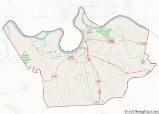
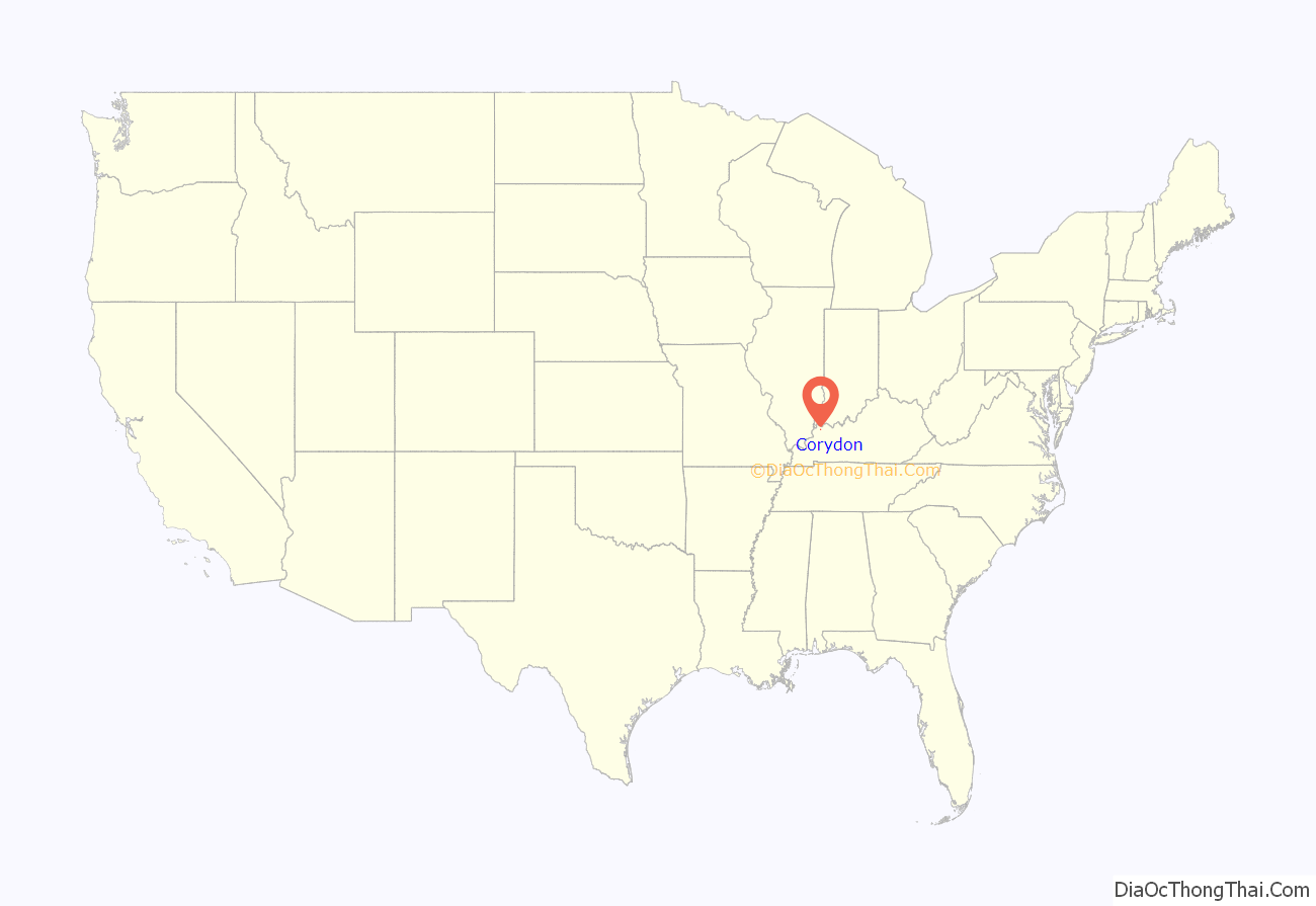
Corydon location map. Where is Corydon city?

History
Settled in 1849 by the Dorsey brothers, John and William, the city was named by John’s wife, Patsy, for the hero of the 19th-century song “Pastoral Elegy” (who was himself named for a lovesick shepherd in Virgil’s Eclogues). Corydon incorporated in 1867.
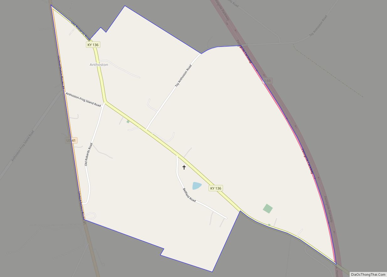
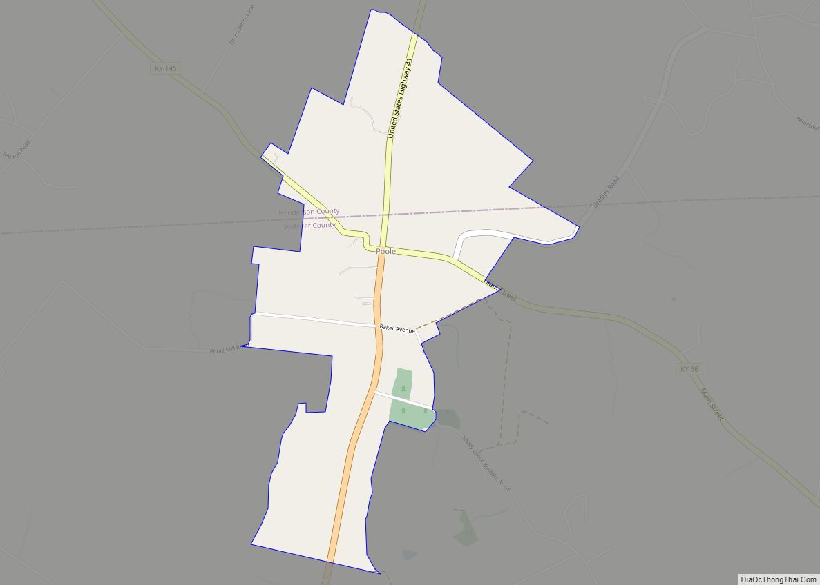
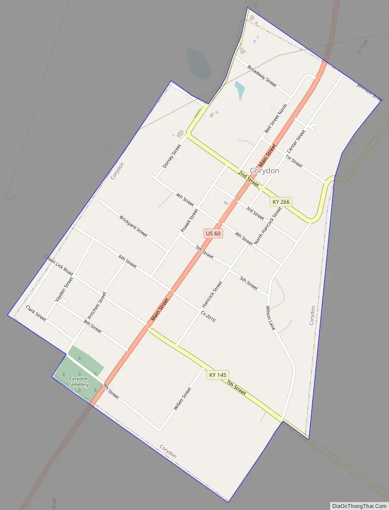
Corydon Road Map
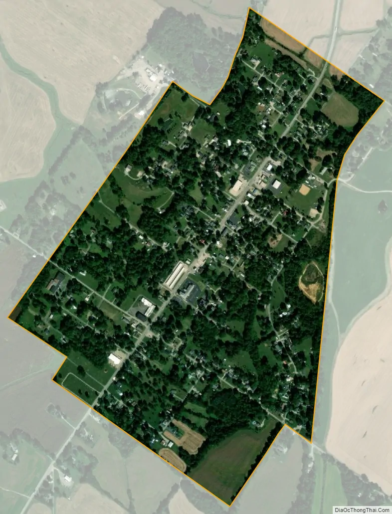
Corydon city Satellite Map
Geography
Corydon is located in western Henderson County at 37°44′29″N 87°42′24″W / 37.74139°N 87.70667°W / 37.74139; -87.70667 (37.741459, -87.706774). U.S. Route 60 is Corydon’s Main Street, leading northeast 9 miles (14 km) to Henderson, the county seat, and southwest 13 miles (21 km) to Morganfield.
According to the United States Census Bureau, Corydon has a total area of 0.54 square miles (1.4 km), all land.
See also
Map of Kentucky State and its subdivision:- Adair
- Allen
- Anderson
- Ballard
- Barren
- Bath
- Bell
- Boone
- Bourbon
- Boyd
- Boyle
- Bracken
- Breathitt
- Breckinridge
- Bullitt
- Butler
- Caldwell
- Calloway
- Campbell
- Carlisle
- Carroll
- Carter
- Casey
- Christian
- Clark
- Clay
- Clinton
- Crittenden
- Cumberland
- Daviess
- Edmonson
- Elliott
- Estill
- Fayette
- Fleming
- Floyd
- Franklin
- Fulton
- Gallatin
- Garrard
- Grant
- Graves
- Grayson
- Green
- Greenup
- Hancock
- Hardin
- Harlan
- Harrison
- Hart
- Henderson
- Henry
- Hickman
- Hopkins
- Jackson
- Jefferson
- Jessamine
- Johnson
- Kenton
- Knott
- Knox
- Larue
- Laurel
- Lawrence
- Lee
- Leslie
- Letcher
- Lewis
- Lincoln
- Livingston
- Logan
- Lyon
- Madison
- Magoffin
- Marion
- Marshall
- Martin
- Mason
- McCracken
- McCreary
- McLean
- Meade
- Menifee
- Mercer
- Metcalfe
- Monroe
- Montgomery
- Morgan
- Muhlenberg
- Nelson
- Nicholas
- Ohio
- Oldham
- Owen
- Owsley
- Pendleton
- Perry
- Pike
- Powell
- Pulaski
- Robertson
- Rockcastle
- Rowan
- Russell
- Scott
- Shelby
- Simpson
- Spencer
- Taylor
- Todd
- Trigg
- Trimble
- Union
- Warren
- Washington
- Wayne
- Webster
- Whitley
- Wolfe
- Woodford
- Alabama
- Alaska
- Arizona
- Arkansas
- California
- Colorado
- Connecticut
- Delaware
- District of Columbia
- Florida
- Georgia
- Hawaii
- Idaho
- Illinois
- Indiana
- Iowa
- Kansas
- Kentucky
- Louisiana
- Maine
- Maryland
- Massachusetts
- Michigan
- Minnesota
- Mississippi
- Missouri
- Montana
- Nebraska
- Nevada
- New Hampshire
- New Jersey
- New Mexico
- New York
- North Carolina
- North Dakota
- Ohio
- Oklahoma
- Oregon
- Pennsylvania
- Rhode Island
- South Carolina
- South Dakota
- Tennessee
- Texas
- Utah
- Vermont
- Virginia
- Washington
- West Virginia
- Wisconsin
- Wyoming