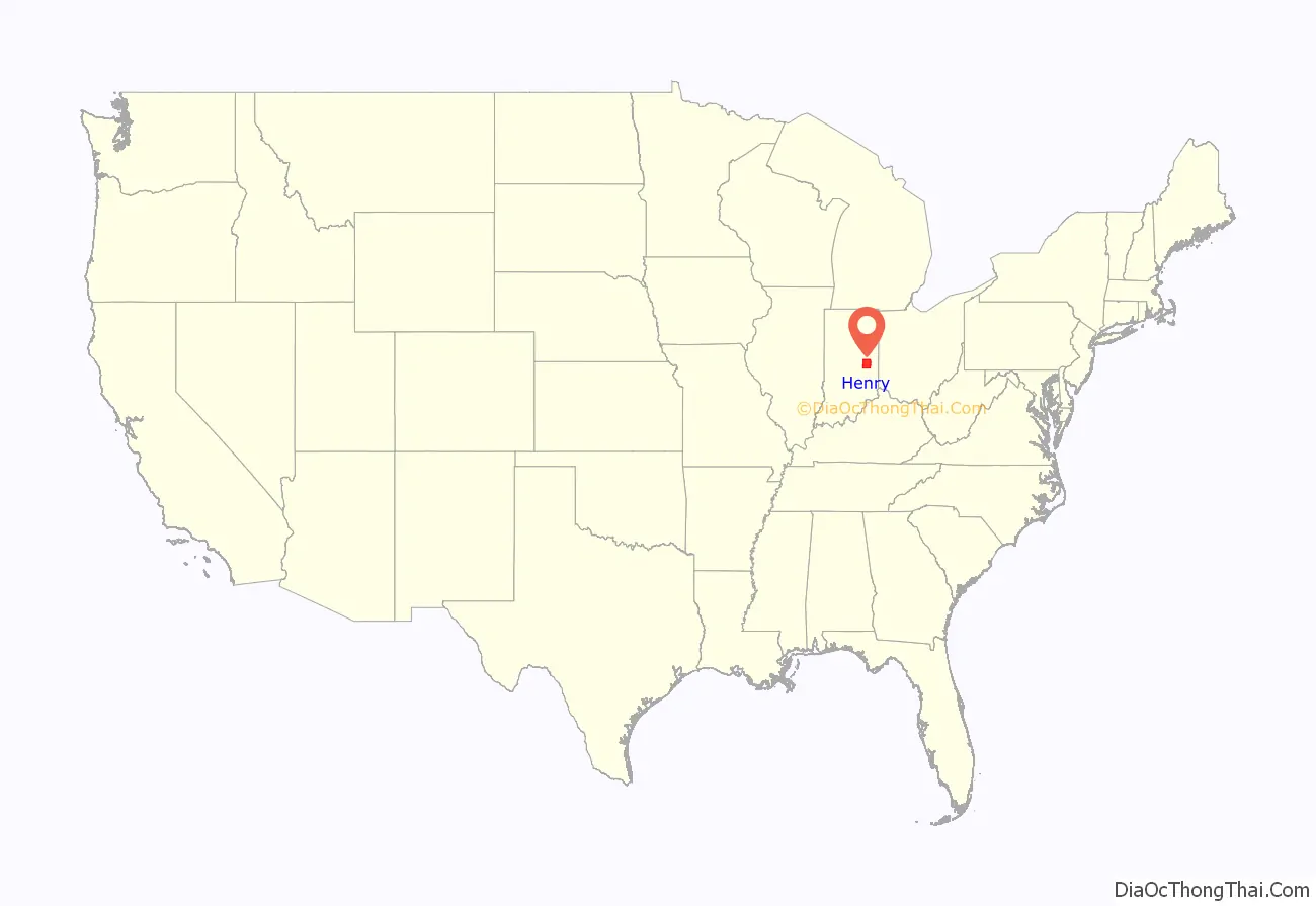
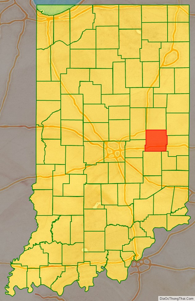
Henry County is a county located in east central Indiana, United States. As of 2020, the population was 48,914. The county seat and largest and only city is New Castle. Henry County is the main setting of the novel Raintree County by Ross Lockridge Jr.
| Name: | Henry County |
|---|---|
| FIPS code: | 18-065 |
| State: | Indiana |
| Founded: | 1822 |
| Named for: | Patrick Henry |
| Seat: | New Castle |
| Largest city: | New Castle |
| Total Area: | 394.83 sq mi (1,022.6 km²) |
| Land Area: | 391.88 sq mi (1,015.0 km²) |
| Population Density: | 123.89/sq mi (47.83/km²) |
Henry County location map. Where is Henry County?
History
Henry County was formed in 1822 from the Delaware New Purchase resulting from the Treaty of St. Mary’s in 1818. It was named for Patriot Patrick Henry, governor of Virginia.
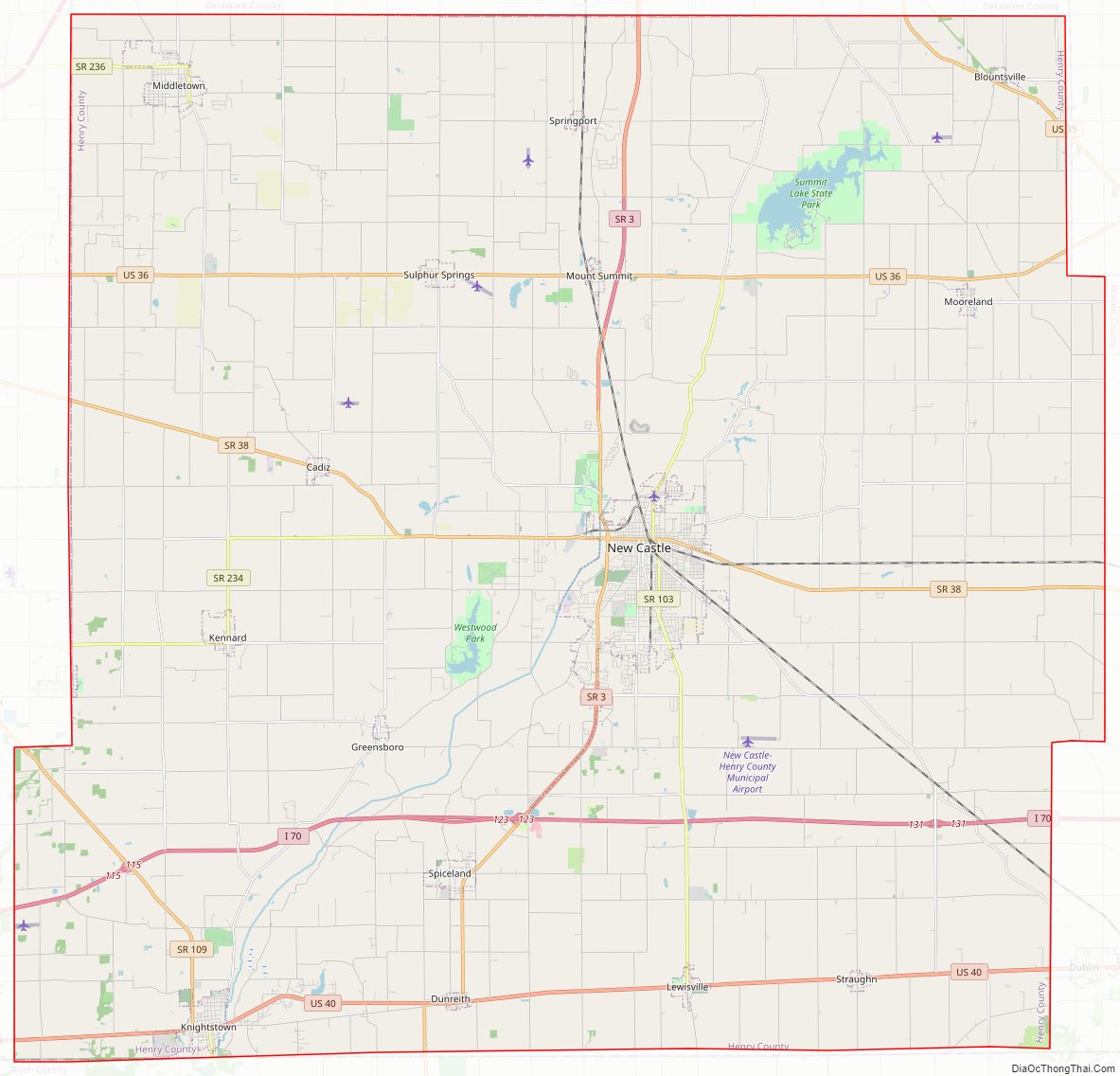
Henry County Road Map
Geography
According to the 2010 census, the county has a total area of 394.83 square miles (1,022.6 km), of which 391.88 square miles (1,015.0 km) (or 99.25%) is land and 2.96 square miles (7.7 km) (or 0.75%) is water.
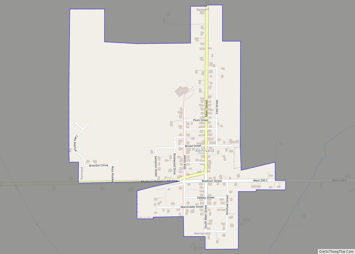
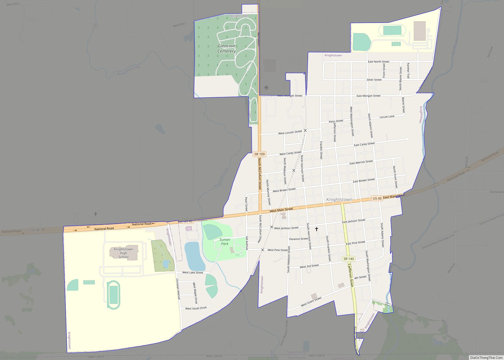
Cities
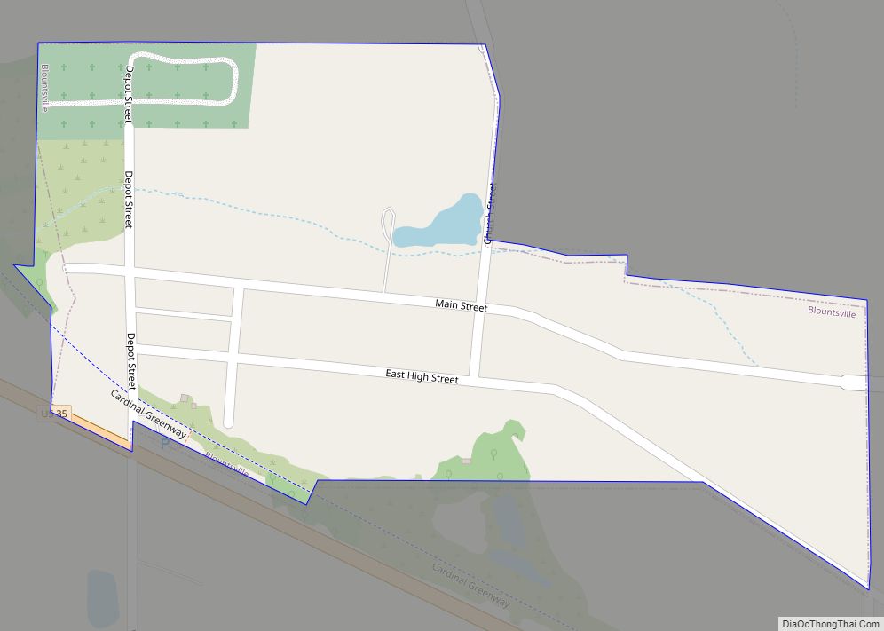
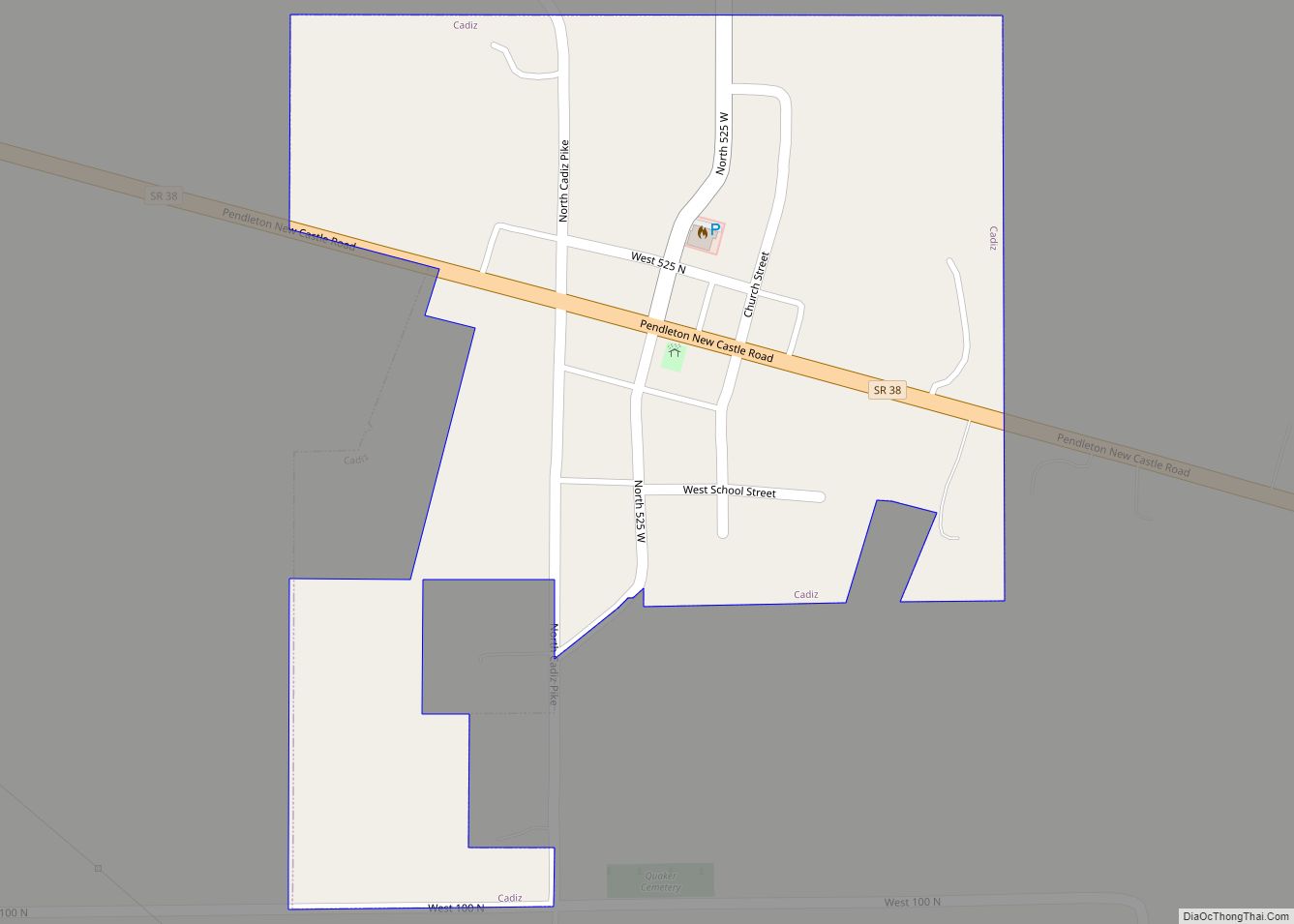
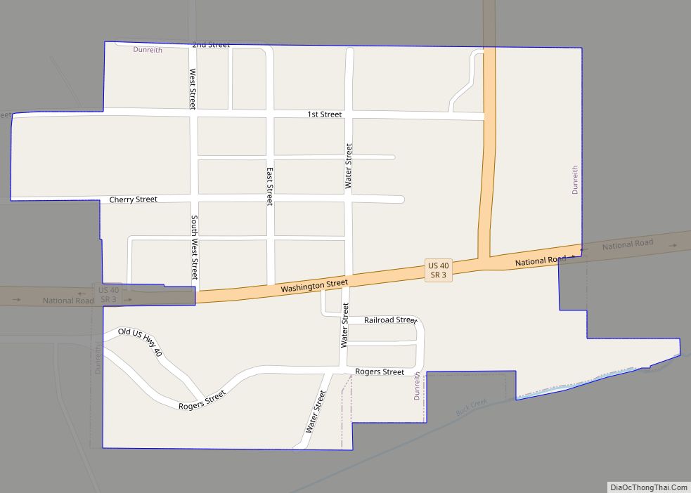
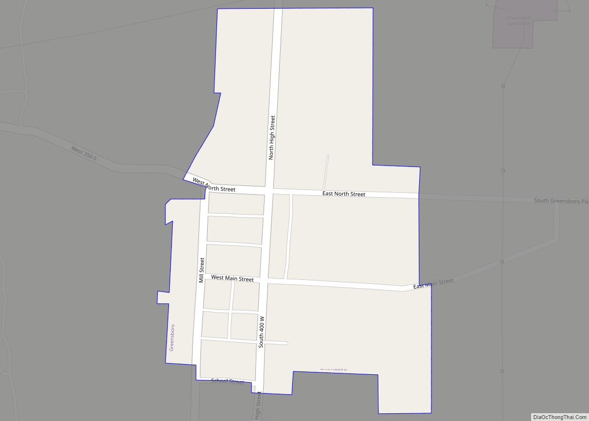
Towns
Unincorporated areas
Townships
Reservoirs
- Castle Lake
- Giboney Lake
- Haven, Lake
- Summit Lake Reservoir
- Westwood Park Reservoir
Adjacent counties
- Delaware County (north)
- Randolph County (northeast)
- Wayne County (east)
- Fayette County (southeast)
- Rush County (south)
- Hancock County (southwest)
- Madison County (northwest)
Major highways
Sources: National Atlas, U.S. Census Bureau
- Interstate 70
- U.S. Route 35
- U.S. Route 36
- U.S. Route 40
- State Road 3
- State Road 38
- State Road 103
- State Road 109
- State Road 140
- State Road 234
- State Road 236
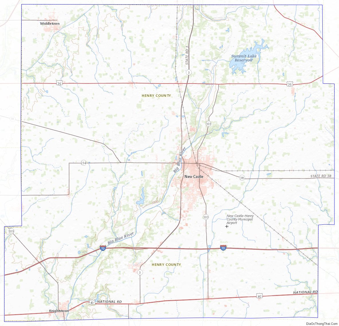
Henry County Topographic Map
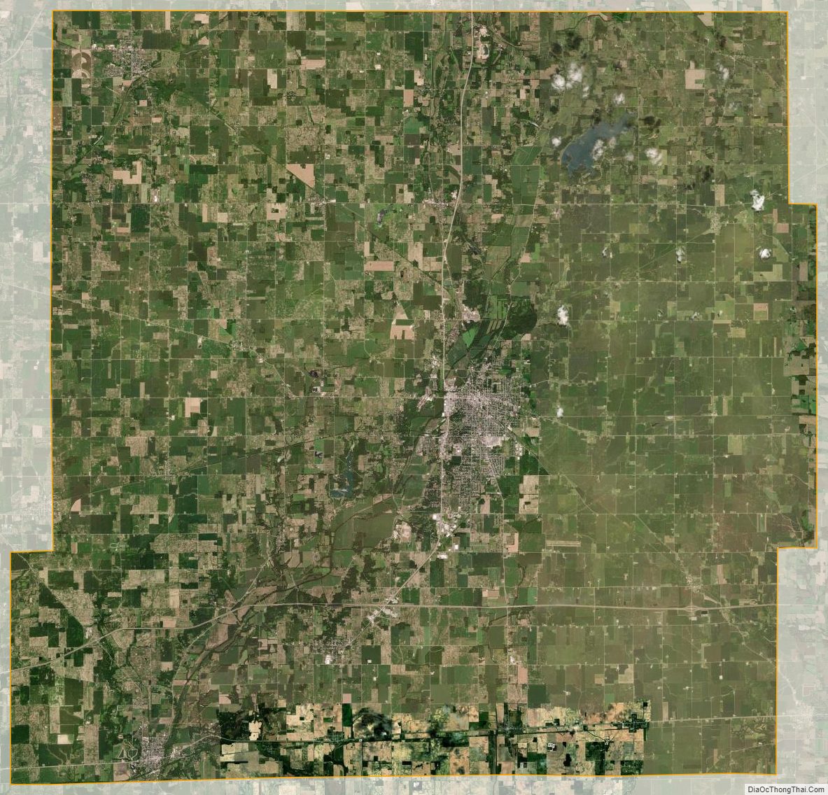
Henry County Satellite Map
Henry County Outline Map