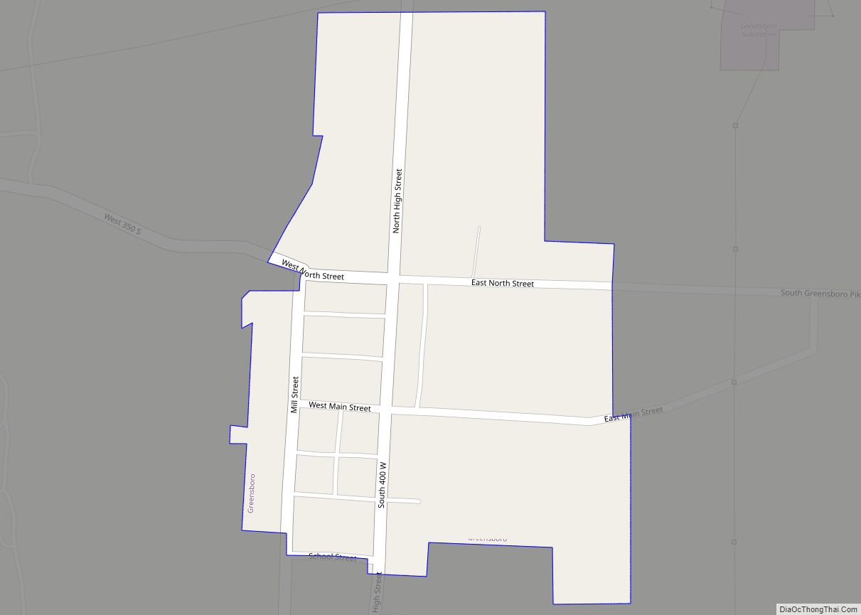
Greensboro is a town in Greensboro Township, Henry County, Indiana, United States. The population was 143 at the 2010 census. The town was a ‘station’ on the Underground Railroad and was recognized for its active abolitionists.
| Name: | Greensboro town |
|---|---|
| LSAD Code: | 43 |
| LSAD Description: | town (suffix) |
| State: | Indiana |
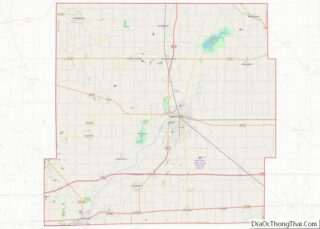
| County: | Henry County |
| Elevation: | 981 ft (299 m) |
| Total Area: | 0.11 sq mi (0.29 km²) |
| Land Area: | 0.11 sq mi (0.29 km²) |
| Water Area: | 0.00 sq mi (0.00 km²) |
| Total Population: | 123 |
| Population Density: | 1,118.18/sq mi (429.80/km²) |
| ZIP code: | 47344 |
| Area code: | 765 |
| FIPS code: | 1829682 |
| GNISfeature ID: | 0435452 |
| Website: | townofgreensboro.in.gov |
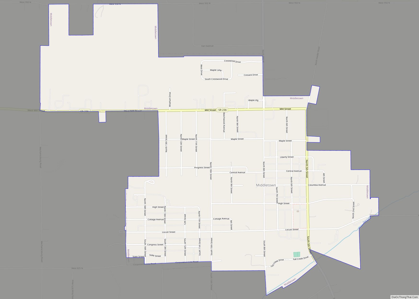
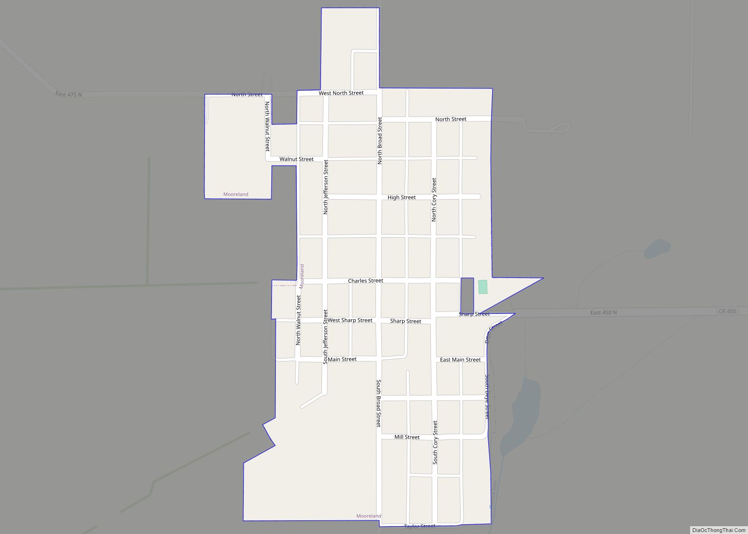
Online Interactive Map
Click on ![]() to view map in "full screen" mode.
to view map in "full screen" mode.
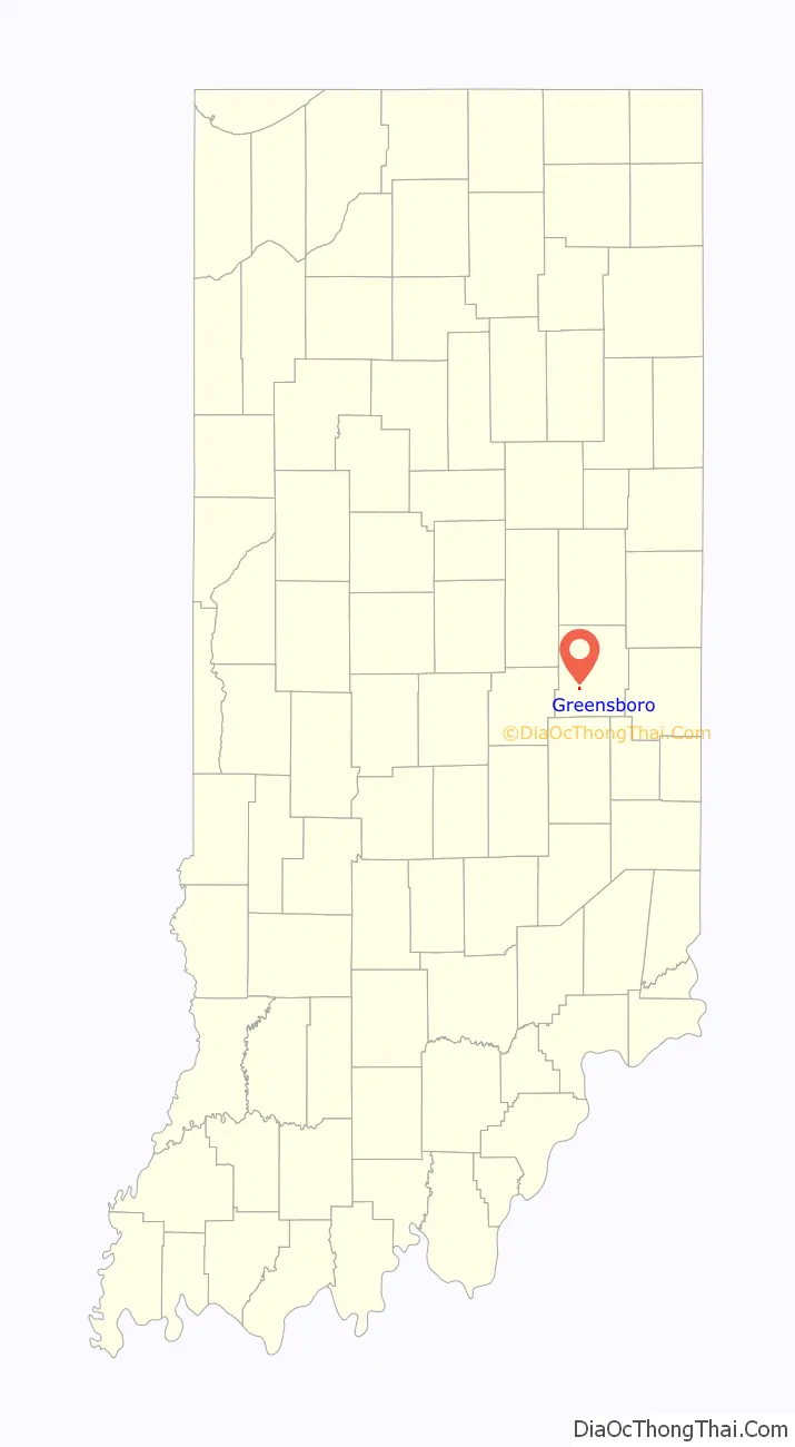
Greensboro location map. Where is Greensboro town?

History
Greensboro was platted in 1830. It was named after Greensboro, North Carolina. Greensboro has contained a post office since 1831.
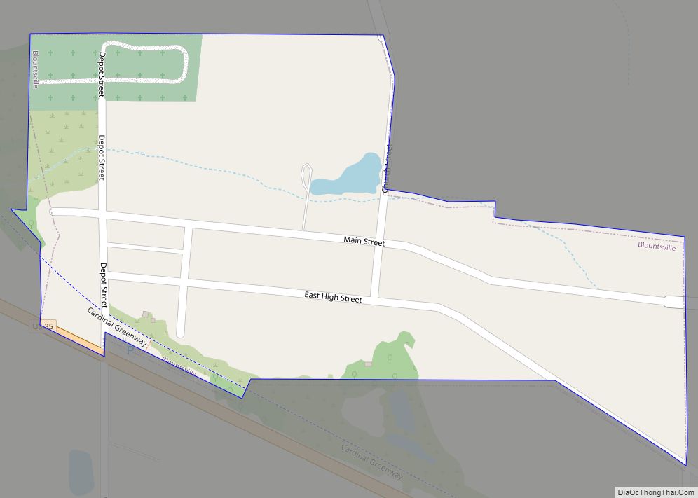
Greensboro Road Map

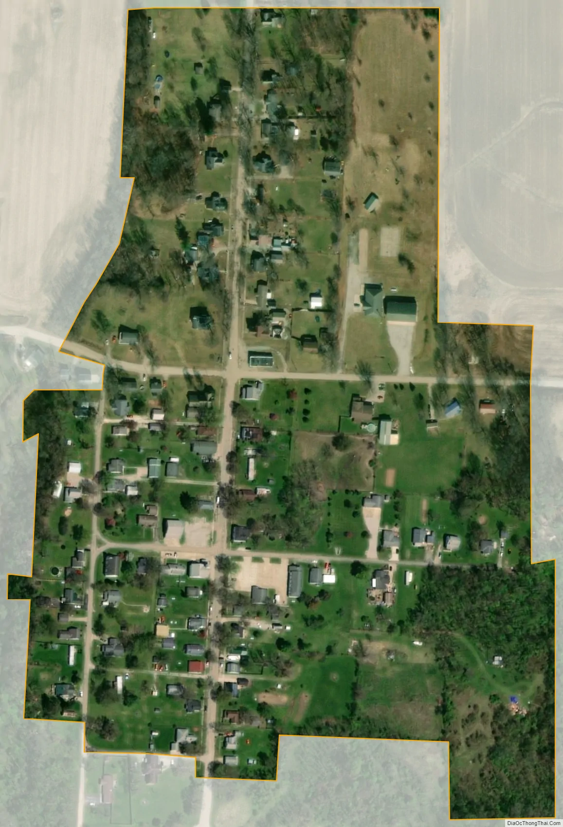
Greensboro city Satellite Map
Geography
Greensboro is located at 39°52′42″N 85°27′55″W / 39.87833°N 85.46528°W / 39.87833; -85.46528 (39.878412, -85.465356).
According to the 2010 census, Greensboro has a total area of 0.11 square miles (0.28 km), all land.
See also
Map of Indiana State and its subdivision:- Adams
- Allen
- Bartholomew
- Benton
- Blackford
- Boone
- Brown
- Carroll
- Cass
- Clark
- Clay
- Clinton
- Crawford
- Daviess
- De Kalb
- Dearborn
- Decatur
- Delaware
- Dubois
- Elkhart
- Fayette
- Floyd
- Fountain
- Franklin
- Fulton
- Gibson
- Grant
- Greene
- Hamilton
- Hancock
- Harrison
- Hendricks
- Henry
- Howard
- Huntington
- Jackson
- Jasper
- Jay
- Jefferson
- Jennings
- Johnson
- Knox
- Kosciusko
- LaGrange
- Lake
- Lake Michigan
- LaPorte
- Lawrence
- Madison
- Marion
- Marshall
- Martin
- Miami
- Monroe
- Montgomery
- Morgan
- Newton
- Noble
- Ohio
- Orange
- Owen
- Parke
- Perry
- Pike
- Porter
- Posey
- Pulaski
- Putnam
- Randolph
- Ripley
- Rush
- Saint Joseph
- Scott
- Shelby
- Spencer
- Starke
- Steuben
- Sullivan
- Switzerland
- Tippecanoe
- Tipton
- Union
- Vanderburgh
- Vermillion
- Vigo
- Wabash
- Warren
- Warrick
- Washington
- Wayne
- Wells
- White
- Whitley
- Alabama
- Alaska
- Arizona
- Arkansas
- California
- Colorado
- Connecticut
- Delaware
- District of Columbia
- Florida
- Georgia
- Hawaii
- Idaho
- Illinois
- Indiana
- Iowa
- Kansas
- Kentucky
- Louisiana
- Maine
- Maryland
- Massachusetts
- Michigan
- Minnesota
- Mississippi
- Missouri
- Montana
- Nebraska
- Nevada
- New Hampshire
- New Jersey
- New Mexico
- New York
- North Carolina
- North Dakota
- Ohio
- Oklahoma
- Oregon
- Pennsylvania
- Rhode Island
- South Carolina
- South Dakota
- Tennessee
- Texas
- Utah
- Vermont
- Virginia
- Washington
- West Virginia
- Wisconsin
- Wyoming