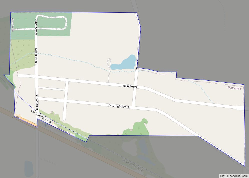
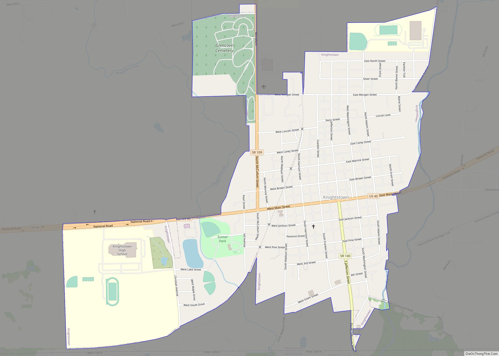
Knightstown is a town in Wayne Township, Henry County, Indiana, adjacent to Rush County, along the Big Blue River. The population was 2,182 at the 2010 census. It is approximately thirty-two miles east of Indianapolis. Knightstown is famous for the 1986 film Hoosiers. The Hoosier Gym was used in the filming of the film. Knightstown hosts two annual festivals: Jubilee Days held in early-mid June and The Hoosier Fall Festival held in September. Knightstown also hosts an annual car show and a music series on the town square. The Hoosier Gym also hosts Indiana’s best high school basketball players in the annual Hoosier Classic.
| Name: | Knightstown town |
|---|---|
| LSAD Code: | 43 |
| LSAD Description: | town (suffix) |
| State: | Indiana |
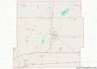
| County: | Henry County |
| Elevation: | 932 ft (284 m) |
| Total Area: | 1.04 sq mi (2.69 km²) |
| Land Area: | 1.03 sq mi (2.67 km²) |
| Water Area: | 0.01 sq mi (0.02 km²) |
| Total Population: | 2,140 |
| Population Density: | 2,077.67/sq mi (802.52/km²) |
| ZIP code: | 46148 |
| Area code: | 765 |
| FIPS code: | 1840266 |
| GNISfeature ID: | 0437394 |
| Website: | http://www.knightstownonline.com |
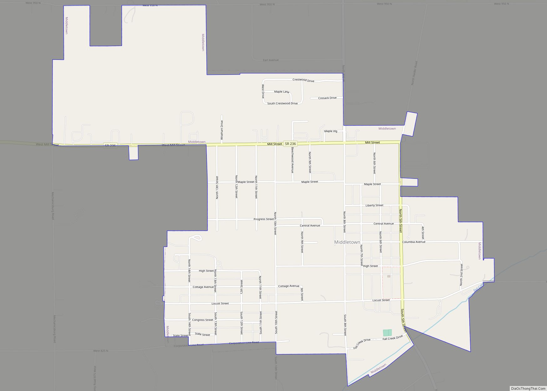
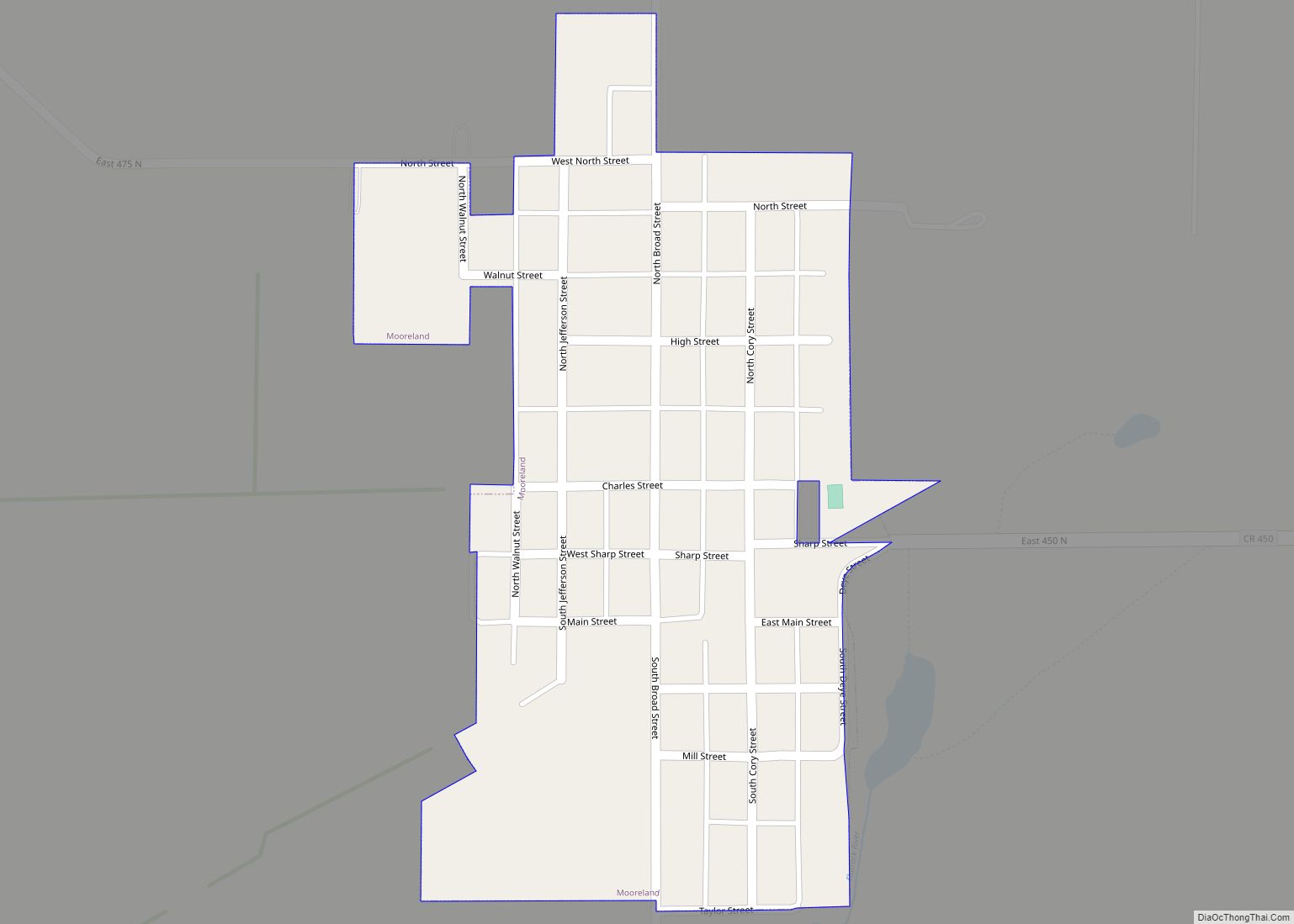
Online Interactive Map
Click on ![]() to view map in "full screen" mode.
to view map in "full screen" mode.
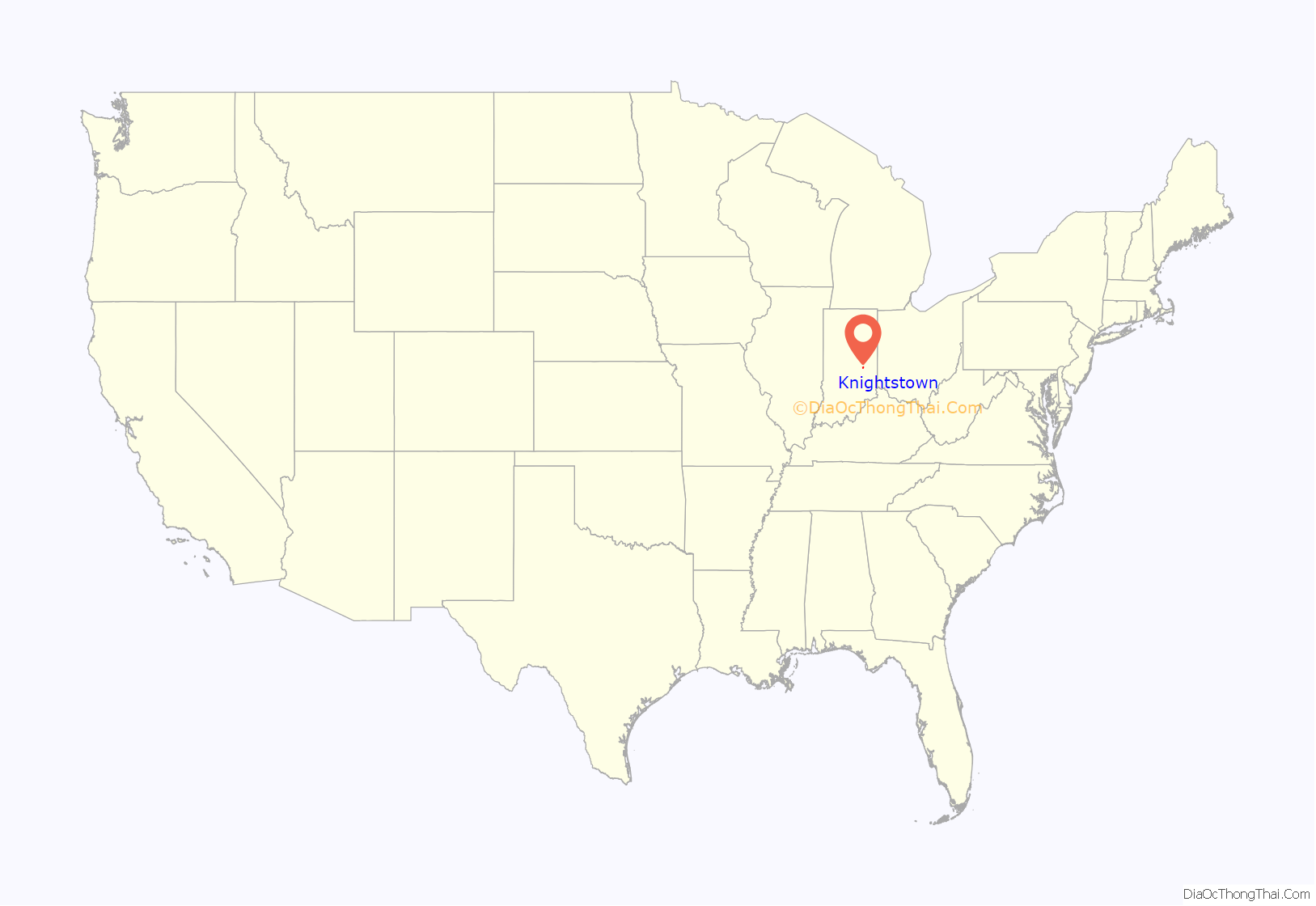
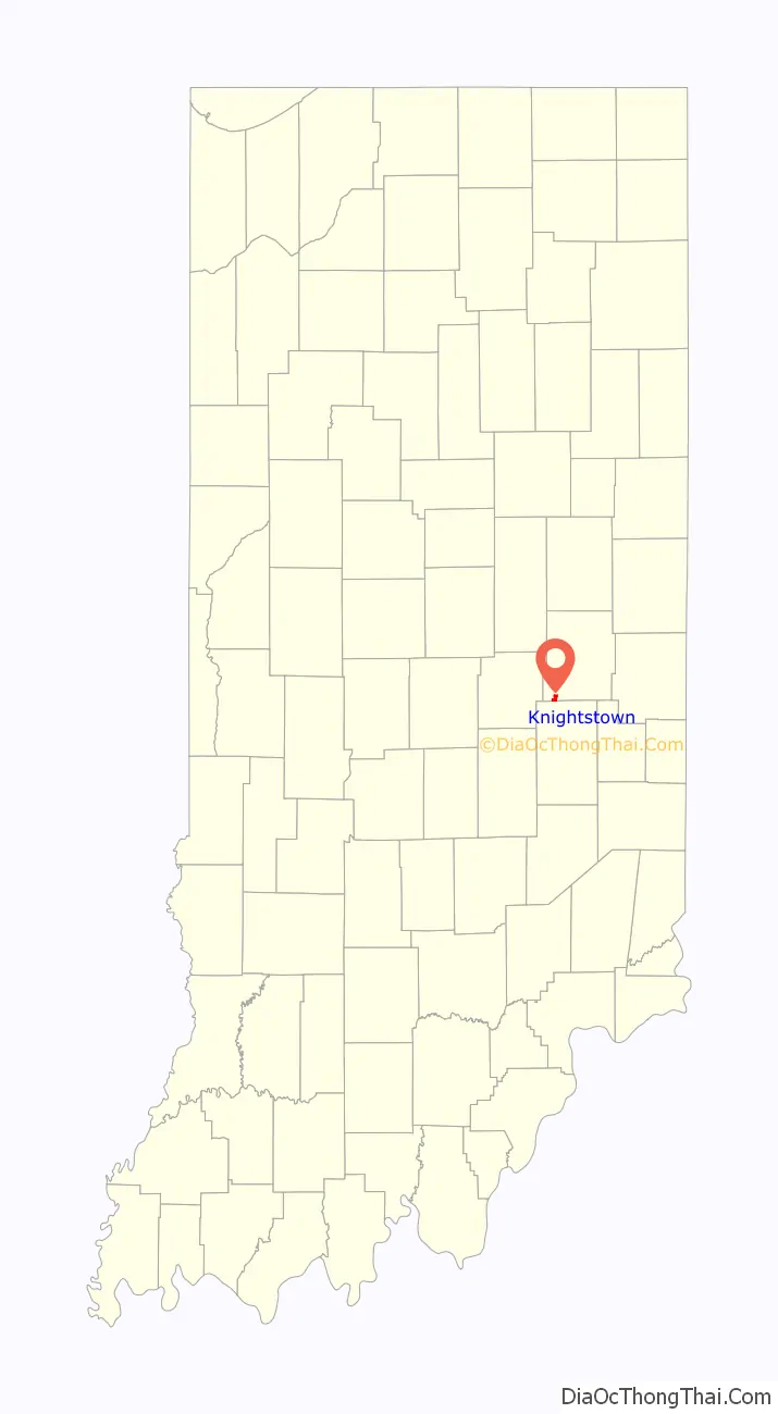
Knightstown location map. Where is Knightstown town?
History
Knightstown was founded and platted by Waitsell M. Cary in 1827. It was named for Jonathan Knight, an engineer on the National Road and U.S. Congressman from Pennsylvania. A post office has operated in Knightstown since 1833.
The Elias Hinshaw House, Knightstown Academy, and Knightstown Historic District are listed on the National Register of Historic Places.
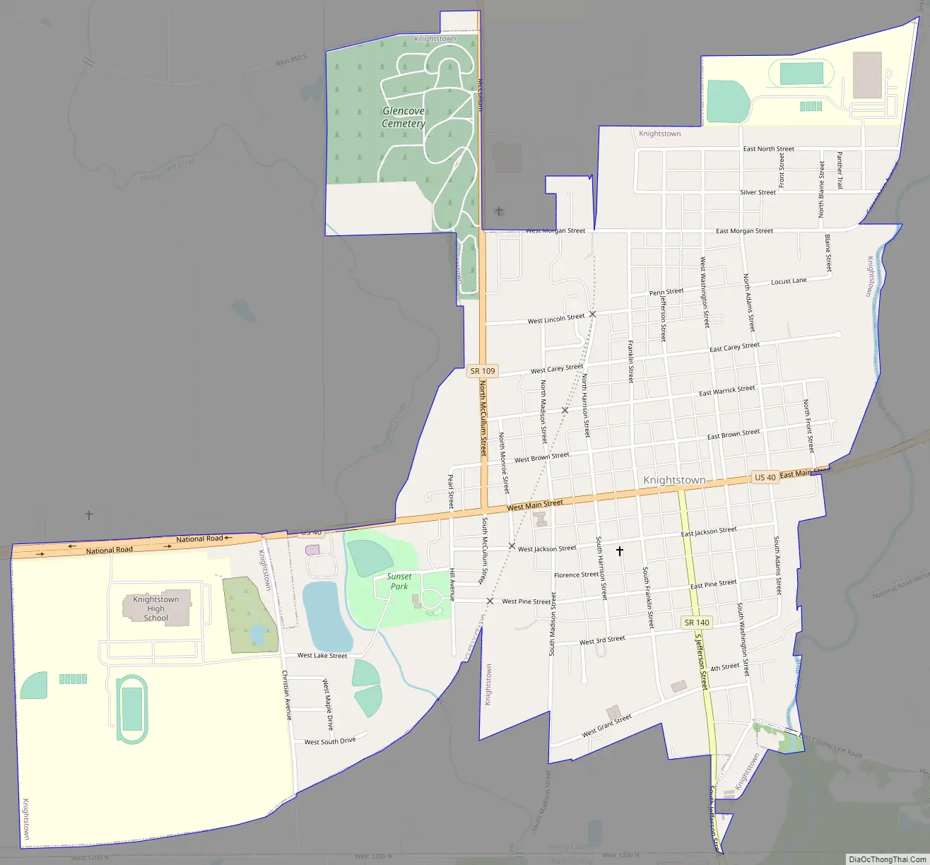
Knightstown Road Map
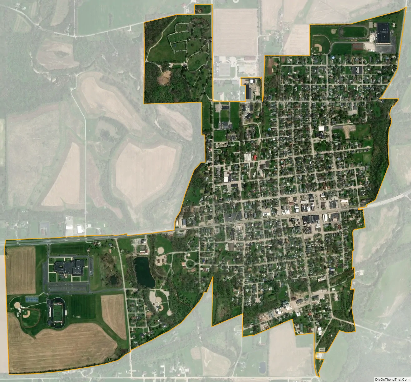
Knightstown city Satellite Map
Geography
Knightstown is located at 39°47′48″N 85°31′42″W / 39.79667°N 85.52833°W / 39.79667; -85.52833 (39.796734, -85.528334).
According to the 2010 census, Knightstown has a total area of 1.04 square miles (2.69 km), of which 1.03 square miles (2.67 km) (or 99.04%) is land and 0.01 square miles (0.03 km) (or 0.96%) is water.
See also
Map of Indiana State and its subdivision:- Adams
- Allen
- Bartholomew
- Benton
- Blackford
- Boone
- Brown
- Carroll
- Cass
- Clark
- Clay
- Clinton
- Crawford
- Daviess
- De Kalb
- Dearborn
- Decatur
- Delaware
- Dubois
- Elkhart
- Fayette
- Floyd
- Fountain
- Franklin
- Fulton
- Gibson
- Grant
- Greene
- Hamilton
- Hancock
- Harrison
- Hendricks
- Henry
- Howard
- Huntington
- Jackson
- Jasper
- Jay
- Jefferson
- Jennings
- Johnson
- Knox
- Kosciusko
- LaGrange
- Lake
- Lake Michigan
- LaPorte
- Lawrence
- Madison
- Marion
- Marshall
- Martin
- Miami
- Monroe
- Montgomery
- Morgan
- Newton
- Noble
- Ohio
- Orange
- Owen
- Parke
- Perry
- Pike
- Porter
- Posey
- Pulaski
- Putnam
- Randolph
- Ripley
- Rush
- Saint Joseph
- Scott
- Shelby
- Spencer
- Starke
- Steuben
- Sullivan
- Switzerland
- Tippecanoe
- Tipton
- Union
- Vanderburgh
- Vermillion
- Vigo
- Wabash
- Warren
- Warrick
- Washington
- Wayne
- Wells
- White
- Whitley
- Alabama
- Alaska
- Arizona
- Arkansas
- California
- Colorado
- Connecticut
- Delaware
- District of Columbia
- Florida
- Georgia
- Hawaii
- Idaho
- Illinois
- Indiana
- Iowa
- Kansas
- Kentucky
- Louisiana
- Maine
- Maryland
- Massachusetts
- Michigan
- Minnesota
- Mississippi
- Missouri
- Montana
- Nebraska
- Nevada
- New Hampshire
- New Jersey
- New Mexico
- New York
- North Carolina
- North Dakota
- Ohio
- Oklahoma
- Oregon
- Pennsylvania
- Rhode Island
- South Carolina
- South Dakota
- Tennessee
- Texas
- Utah
- Vermont
- Virginia
- Washington
- West Virginia
- Wisconsin
- Wyoming