Jackson County is located in the Commonwealth of Kentucky. As of the 2021 census estimation, the population was 12,984. Its county seat is McKee. The county was formed in 1858 from land given by Madison, Estill, Owsley, Clay, Laurel, and Rockcastle counties. It was named for Andrew Jackson, seventh President of the United States. Jackson County became a moist county via a “local-option” referendum in the Fall of 2019 that made the sale of alcoholic beverages in the county seat, McKee, legal.
One fourth of Jackson County is within the Daniel Boone National Forest (56,000 acres), making it representative of eastern Kentucky’s unique Appalachian topography, wildlife, and heritage. The county is home to many attractions and recreation spots such as Flat Lick Falls, public national forest campgrounds Turkey Foot and S-Tree, and the centermost trailhead (located in the county seat, McKee) of the historic Sheltowee Trace.
Jackson County is the birthplace of the Grand Ole Opry star David “Stringbean” Akeman, and the site of the annually reenacted Battle of Big Hill, the Civil War skirmish that led to the Battle of Richmond in Madison County.
| Name: | Jackson County |
|---|---|
| FIPS code: | 21-109 |
| State: | Kentucky |
| Founded: | 1858 |
| Named for: | Andrew Jackson |
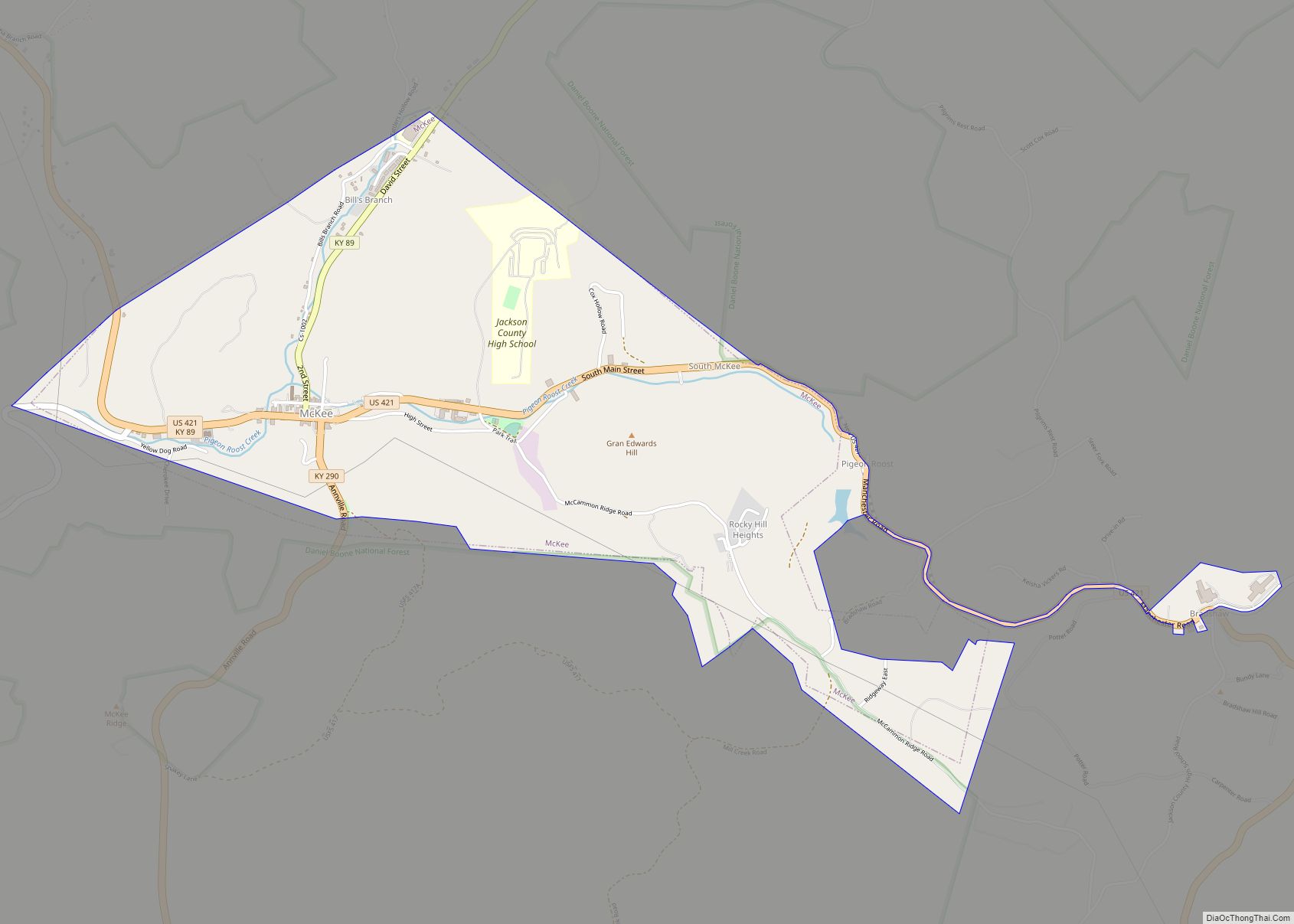
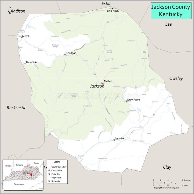
| Seat: | McKee |
| Total Area: | 347 sq mi (900 km²) |
| Land Area: | 345 sq mi (890 km²) |
| Total Population: | 12,955 |
| Population Density: | 37/sq mi (14/km²) |
| Time zone: | UTC−5 (Eastern) |
| Summer Time Zone (DST): | UTC−4 (EDT) |
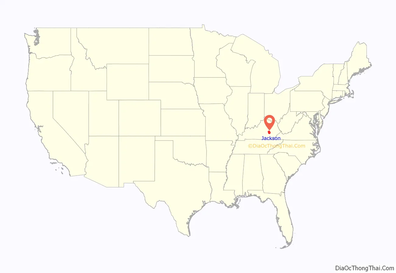
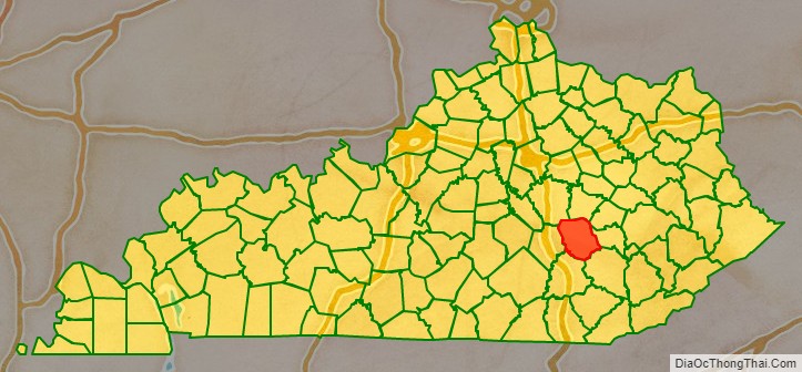
Jackson County location map. Where is Jackson County?
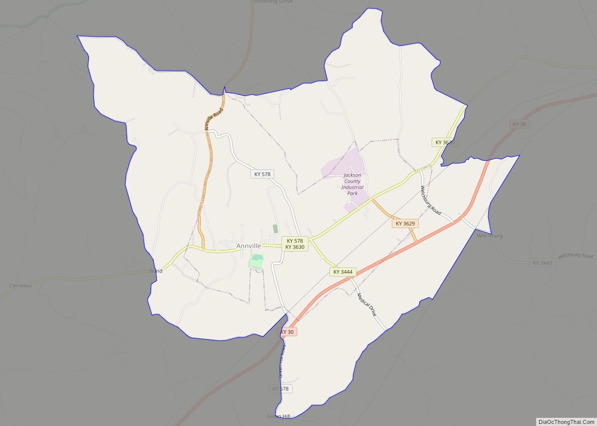
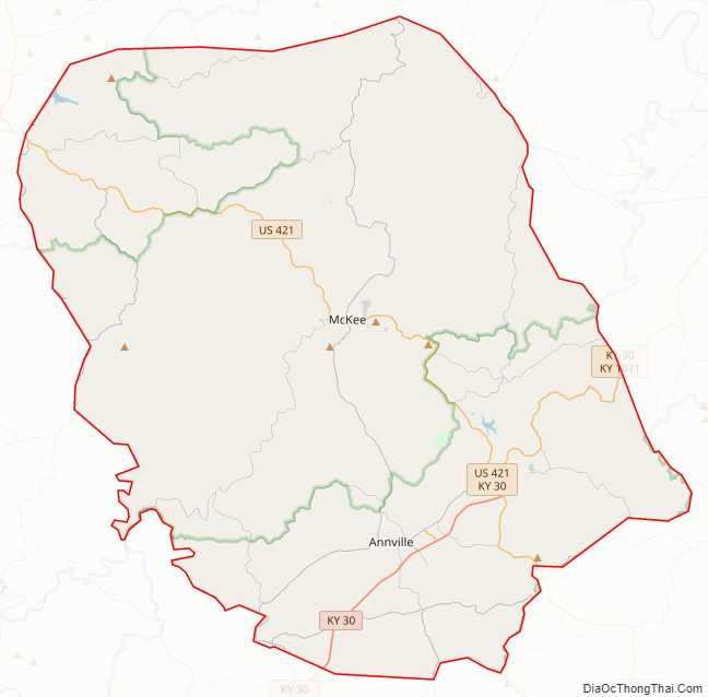
Jackson County Road Map
Geography
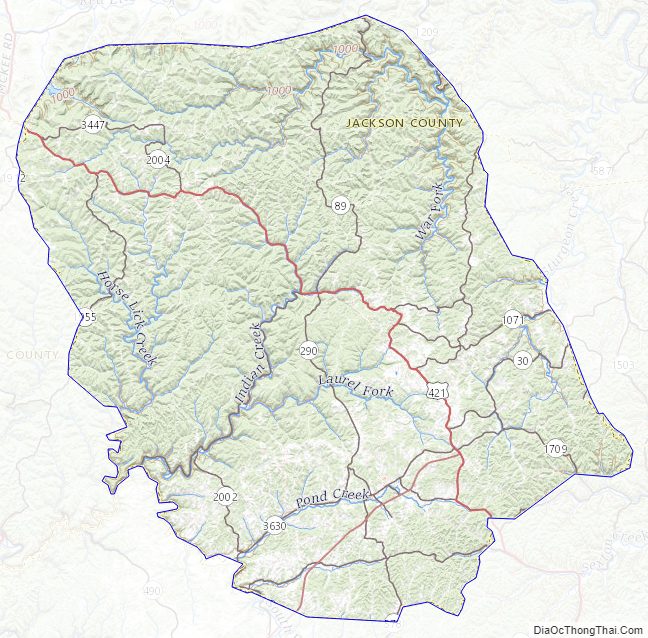
Jackson County is located on the edge of the Cumberland Plateau and Eastern Kentucky Coalfields region of Kentucky, adjacent to the Kentucky Bluegrass region. Because of this, the county’s motto is “where the mountains and the bluegrass blend.” The elevation of the county ranges from 600 ft. to 1600 ft. above sea level. The Middle Fork of the Rockcastle River originates in southern Jackson County. Karst landscapes can also be found in the northern part of the county, creating notable caves such as Wind Cave near Turkey Foot campground.
Major routes
- US Route 421
- KY Route 30
- KY Route 290
- KY Route 3630 (Old KY Route 30)
US Route 421 serves as the county’s north–south corridor, connecting it to Madison County, the cities of Richmond and Berea , and I-75 to the north. While it connects the county to Clay County, the city of Manchester, and the Hal Rogers Parkway to the south. This route also connects the communities of Sandgap, McKee and Tyner within the county.
KY Route 30 is a newly constructed highway that serves as the main east–west corridor, passing through the southern part of the county, through the communities of Annville and Tyner. It is referred to as the Interstate 75 – Mountain Parkway connector. It connects the county to both of these major freeways as well as to the cities of London (Laurel County), Booneville (Owsley County), and Beattyville (Lee County).
KY Route 290 connects US Route 421 in McKee to KY Route 3630 in Annville.
Adjacent counties
- Estill County (north)
- Lee County (northeast)
- Owsley County (east)
- Clay County (southeast)
- Laurel County (southwest)
- Rockcastle County (west)
- Madison County (northwest)
Jackson County Topographic Map
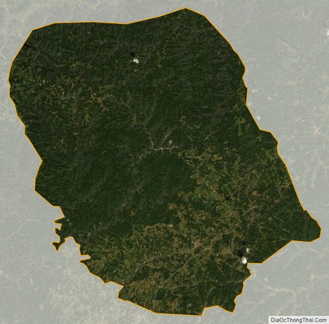
Jackson County Satellite Map
Jackson County Outline Map