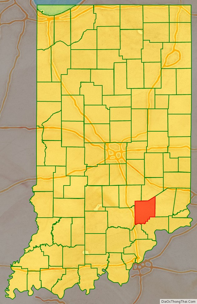
Jennings County is a county located in the U.S. state of Indiana. As of 2020, the population was 27,613. The county seat is Vernon.
| Name: | Jennings County |
|---|---|
| FIPS code: | 18-079 |
| State: | Indiana |
| Founded: | 1817 |
| Named for: | Jonathan Jennings |
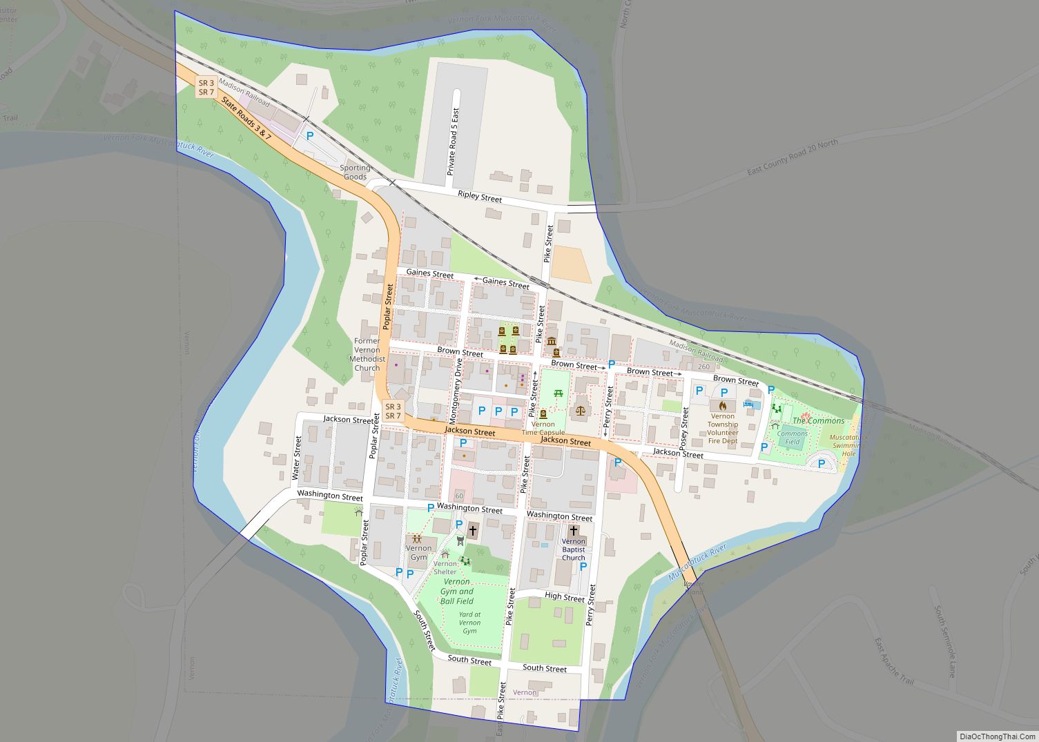
| Seat: | Vernon |
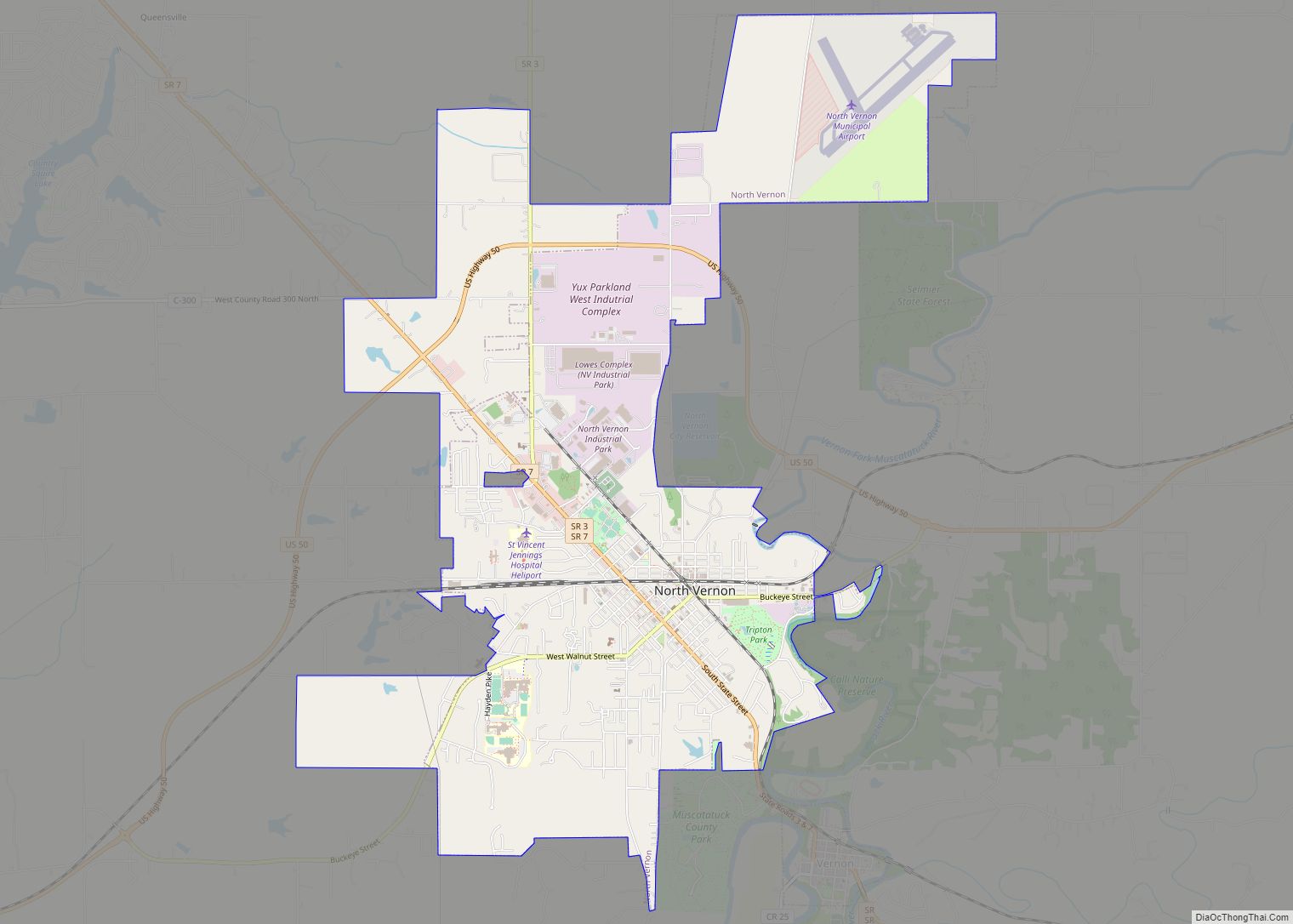
| Largest city: | North Vernon |
| Total Area: | 378.34 sq mi (979.9 km²) |
| Land Area: | 376.58 sq mi (975.3 km²) |
| Population Density: | 76/sq mi (29.20/km²) |
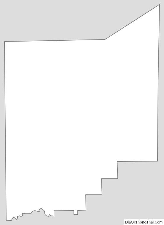
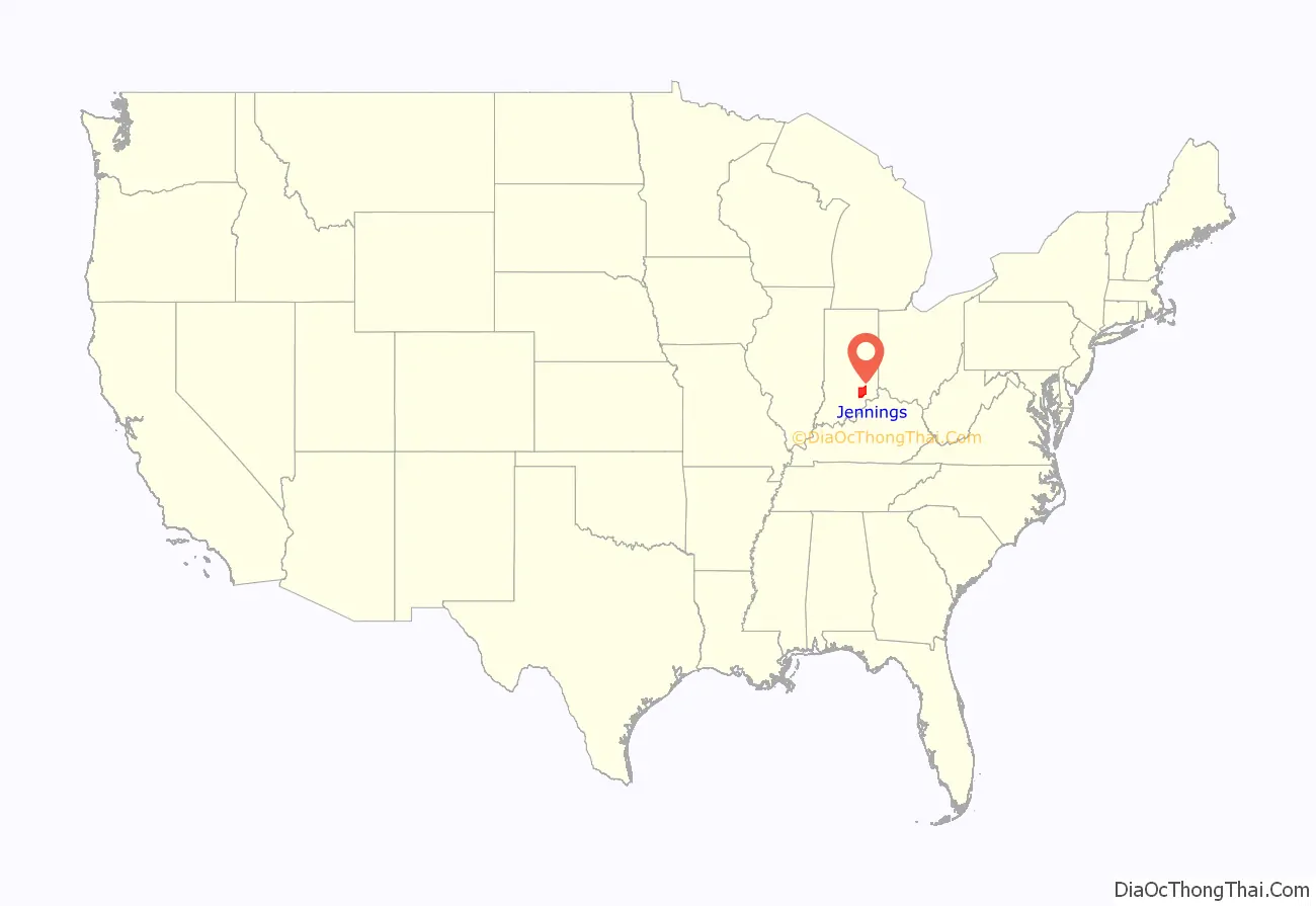
Jennings County location map. Where is Jennings County?
History
Jennings County was formed in 1817. It was named for the first Governor of Indiana and a nine-term congressman, Jonathan Jennings. Jennings was governor when the county was organized.
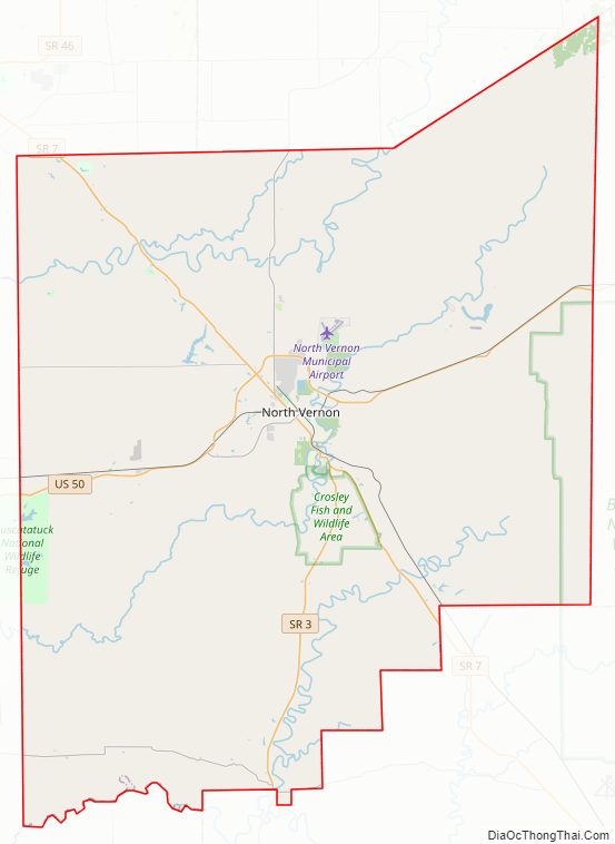
Jennings County Road Map
Geography
According to the 2010 census, the county has a total area of 378.34 square miles (979.9 km), of which 376.58 square miles (975.3 km) (or 99.53%) is land and 1.76 square miles (4.6 km) (or 0.47%) is water. It is a rural county, with majority of the county consisting of personal farms and woodlands. There are only two incorporated towns in this county, Vernon, the county seat, and North Vernon. Both are quite small and underdeveloped by urban standards. The county is located in the center of an imaginary triangle consisting of Indianapolis, IN, Cincinnati, OH, and Louisville, KY and requires only 11⁄4 hour drive time to any of these urban centers.
It is also home to the Muscatatuck Urban Training Center, located just outside North Vernon, at which various training exercises and scenarios are conducted for homeland security and other similar purposes.
City
Town
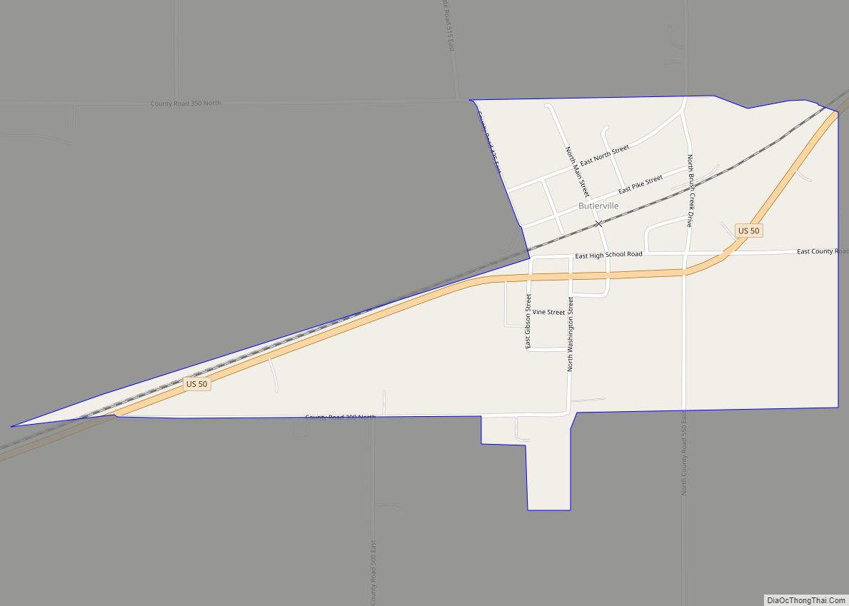
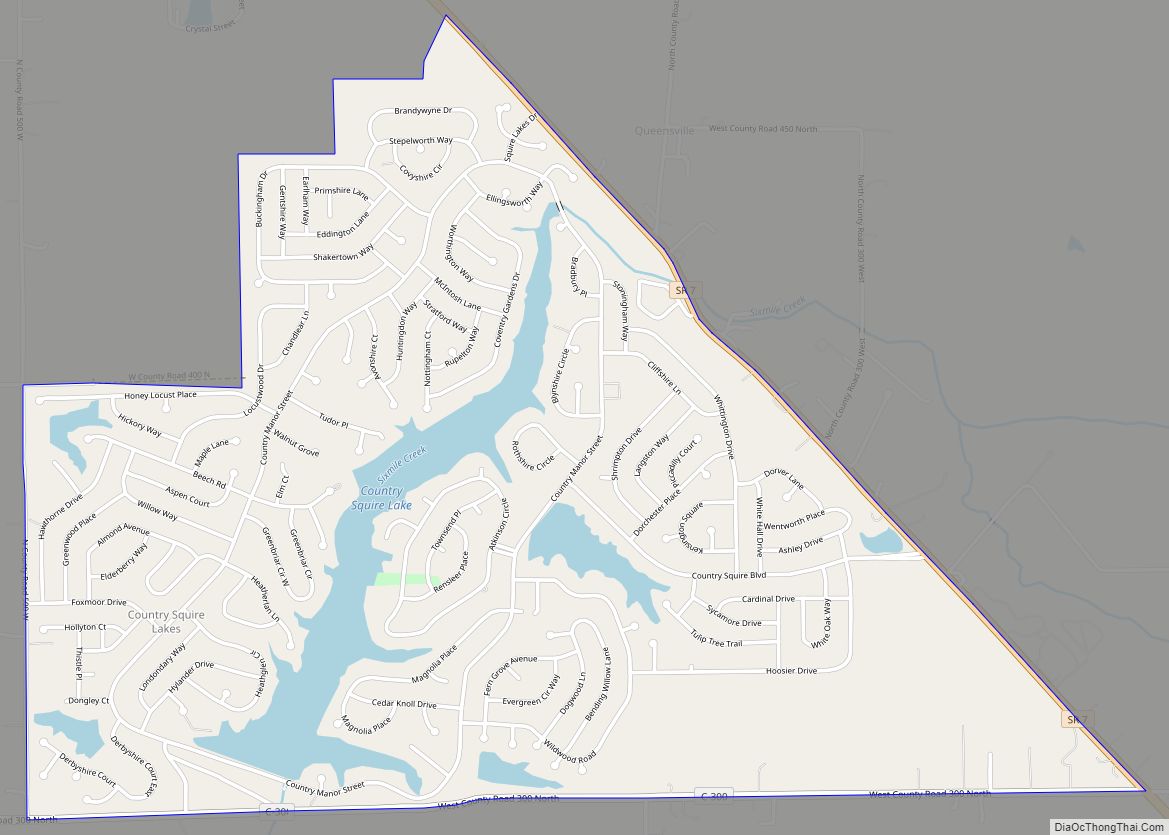
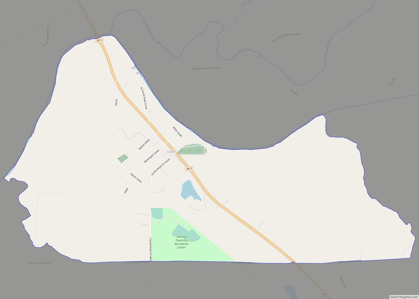
Census-designated places
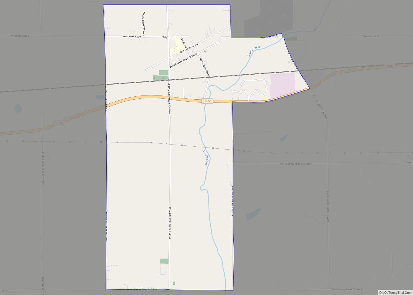
Other unincorporated places
- Brewersville
- Commiskey
- Four Corners
- Grayford
- Hilltown
- Lovett
- Nebraska
- Paris
- Paris Crossing
- Queensville
- San Jacinto
- Walnut Ridge
- Zenas
Townships
- Bigger
- Campbell
- Center
- Columbia
- Geneva
- Lovett
- Marion
- Montgomery
- Sand Creek
- Spencer
- Vernon
Adjacent counties
- Decatur County (north)
- Ripley County (east)
- Jefferson County (southeast)
- Scott County (south)
- Jackson County (west)
- Bartholomew County (northwest)
Major highways
Sources: National Atlas, U.S. Census Bureau
- U.S. Route 50
- State Road 3
- State Road 7
- State Road 250
Parks and protected areas
- Big Oaks National Wildlife Refuge (part)
- Muscatatuck National Wildlife Refuge (part)
- Muscatatuck County Park
- Selmier State Forest
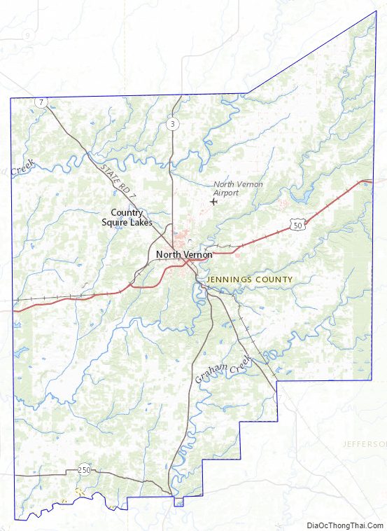
Jennings County Topographic Map
Jennings County Satellite Map
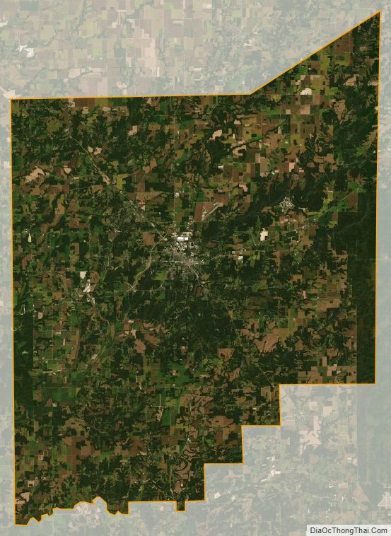
Jennings County Outline Map