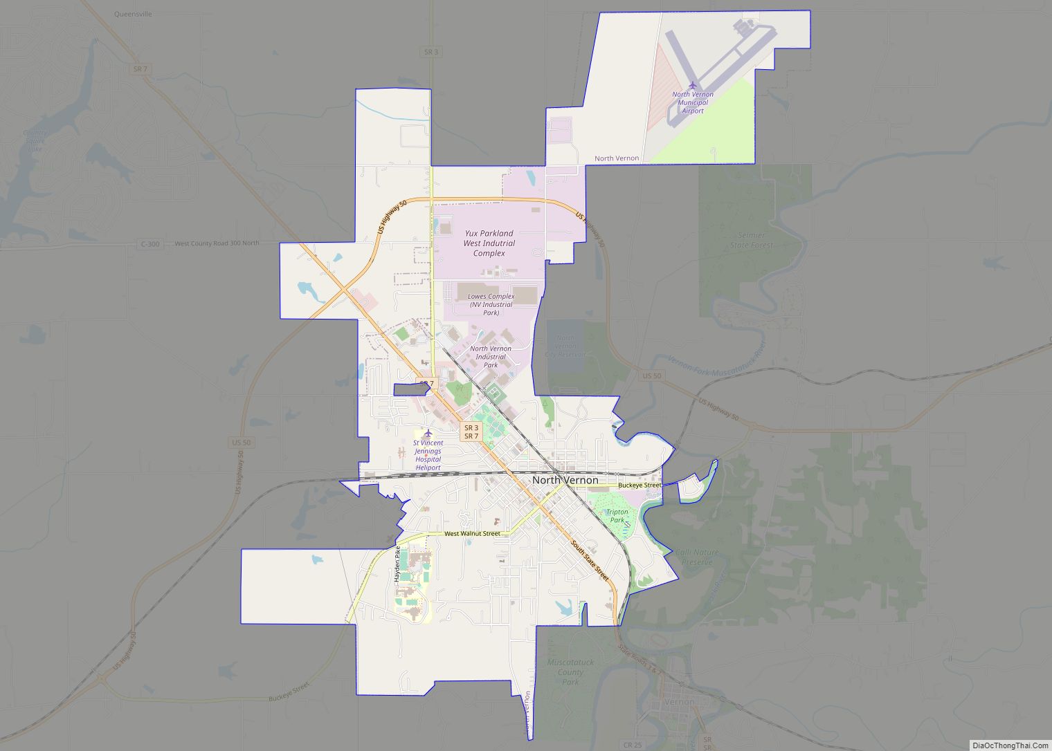
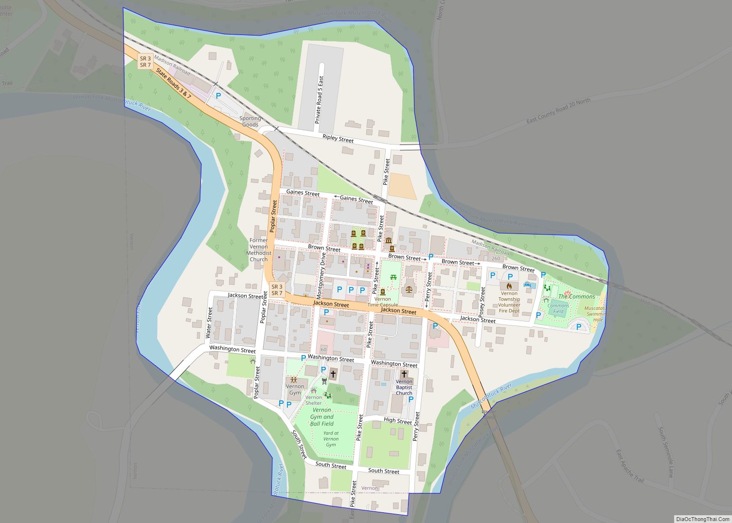
Vernon is a town within Vernon Township and the county seat of Jennings County, Indiana, United States. With a population of 318 in the 2010 census, it is the smallest town with that designation in the state of Indiana, lying just south of the much larger North Vernon. It is also the smallest county seat in Indiana. It is nearly surrounded by the Muscatatuck River. Vernon is the only Indiana town with an elected mayor and an elected town marshal. As of 2010, Dan Wright is the mayor and Britt Burgmeier is the marshal.
The Vernon Historic District is on the National Register of Historic Places and is the site of many firsts in the state.
- The first area set aside for use as a public playground in Indiana, The Commons
- The first elevated railroad overpass west of the Alleghenies
- The first all women’s jury in Indiana
- The first Disciples of Christ church in Indiana
It was also the home of Indiana’s fourth state park, now called Muscatatuck County Park.
| Name: | Vernon town |
|---|---|
| LSAD Code: | 43 |
| LSAD Description: | town (suffix) |
| State: | Indiana |
| County: | Jennings County |
| Elevation: | 663 ft (202 m) |
| Total Area: | 0.21 sq mi (0.54 km²) |
| Land Area: | 0.21 sq mi (0.54 km²) |
| Water Area: | 0.00 sq mi (0.00 km²) |
| Total Population: | 236 |
| Population Density: | 1,140.10/sq mi (439.78/km²) |
| ZIP code: | 47282 |
| Area code: | 812 |
| FIPS code: | 1878902 |
| GNISfeature ID: | 0445255 |
| Website: | www.vernonindiana.org |
Online Interactive Map
Click on ![]() to view map in "full screen" mode.
to view map in "full screen" mode.
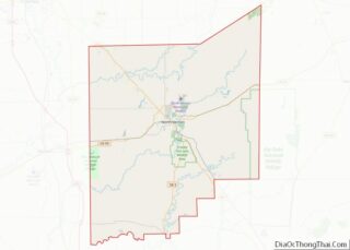
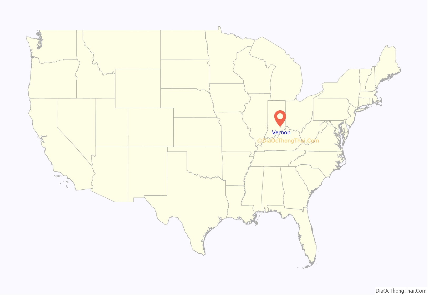
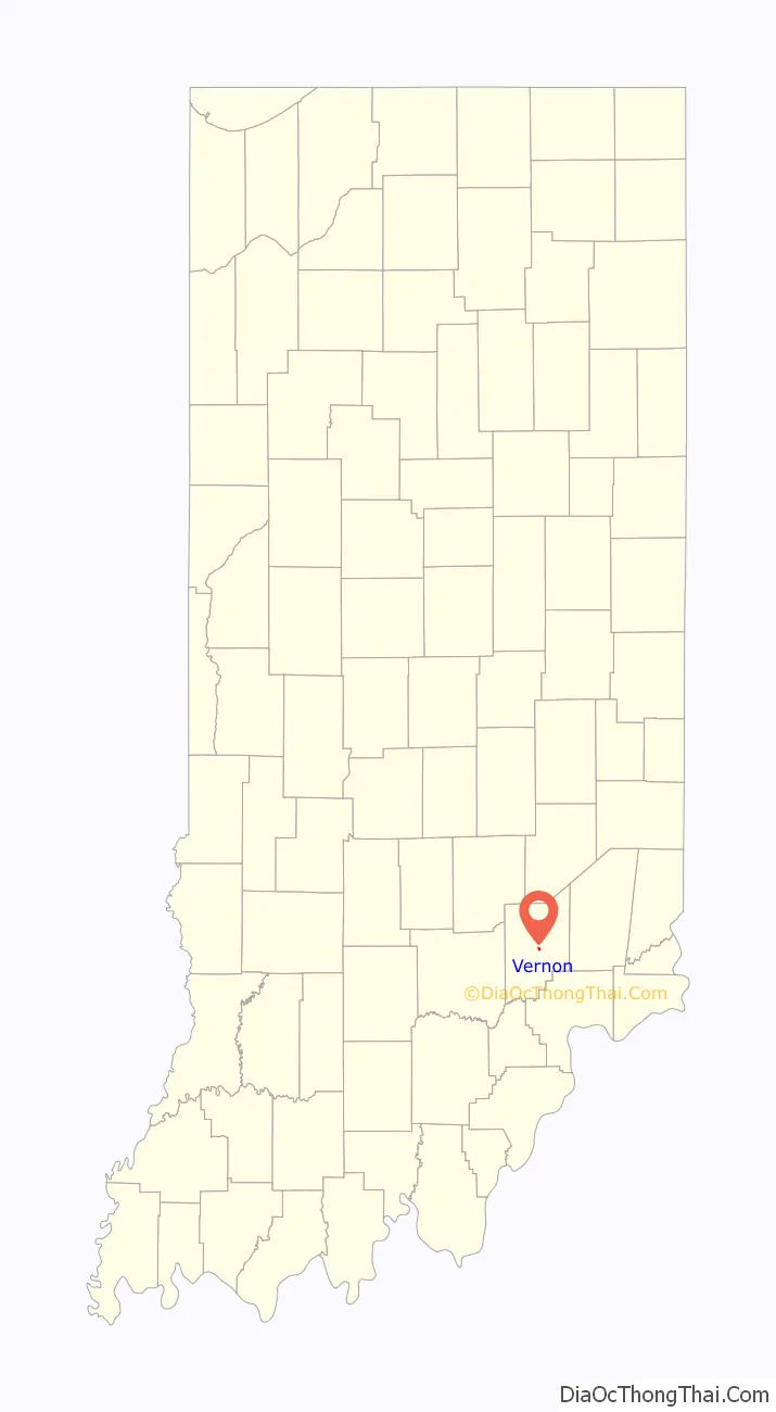
Vernon location map. Where is Vernon town?
History
Vernon was named after Mount Vernon. The Vernon post office was established in 1817.
Vernon was the site of a near-battle on July 11, 1863, during Morgan’s Raid. John Hunt Morgan demanded the surrender of the town, which was defended by 100 local militia in strong positions on hills and bluffs overlooking the Muscatatuck River and 178 Union troops under the command of Colonel Hugh Williams. The defenders successfully stalled Morgan until 1,000 Union troops under the command of Brigadier General John Love arrived. Morgan ultimately retreated south toward Dupont, Indiana.
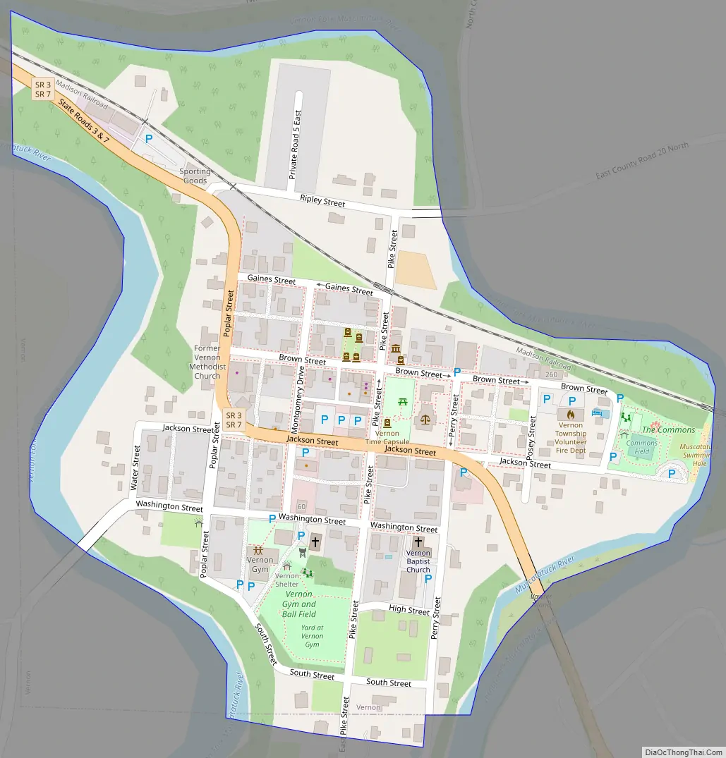
Vernon Road Map
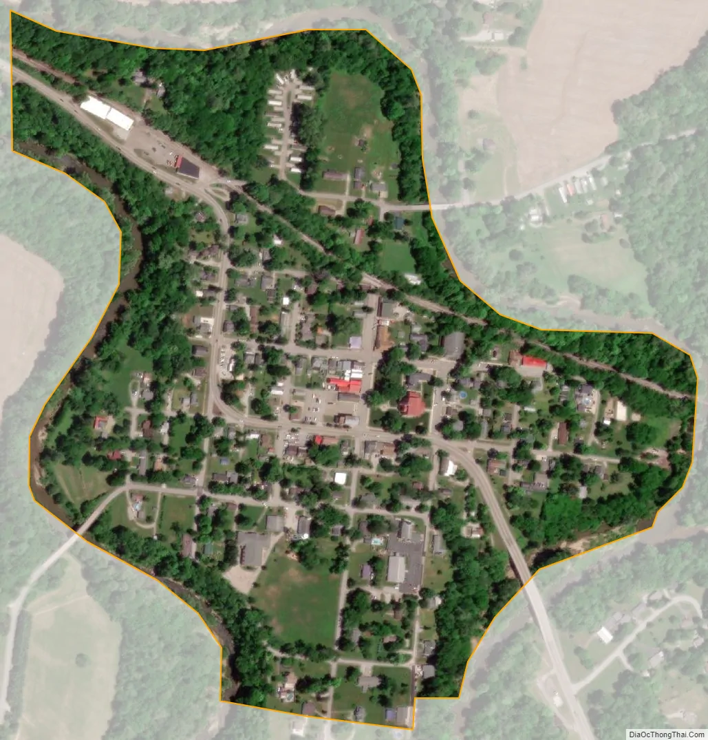
Vernon city Satellite Map
Geography
According to the 2010 census, Vernon has a total area of 0.24 square miles (0.62 km), all land.
See also
Map of Indiana State and its subdivision:- Adams
- Allen
- Bartholomew
- Benton
- Blackford
- Boone
- Brown
- Carroll
- Cass
- Clark
- Clay
- Clinton
- Crawford
- Daviess
- De Kalb
- Dearborn
- Decatur
- Delaware
- Dubois
- Elkhart
- Fayette
- Floyd
- Fountain
- Franklin
- Fulton
- Gibson
- Grant
- Greene
- Hamilton
- Hancock
- Harrison
- Hendricks
- Henry
- Howard
- Huntington
- Jackson
- Jasper
- Jay
- Jefferson
- Jennings
- Johnson
- Knox
- Kosciusko
- LaGrange
- Lake
- Lake Michigan
- LaPorte
- Lawrence
- Madison
- Marion
- Marshall
- Martin
- Miami
- Monroe
- Montgomery
- Morgan
- Newton
- Noble
- Ohio
- Orange
- Owen
- Parke
- Perry
- Pike
- Porter
- Posey
- Pulaski
- Putnam
- Randolph
- Ripley
- Rush
- Saint Joseph
- Scott
- Shelby
- Spencer
- Starke
- Steuben
- Sullivan
- Switzerland
- Tippecanoe
- Tipton
- Union
- Vanderburgh
- Vermillion
- Vigo
- Wabash
- Warren
- Warrick
- Washington
- Wayne
- Wells
- White
- Whitley
- Alabama
- Alaska
- Arizona
- Arkansas
- California
- Colorado
- Connecticut
- Delaware
- District of Columbia
- Florida
- Georgia
- Hawaii
- Idaho
- Illinois
- Indiana
- Iowa
- Kansas
- Kentucky
- Louisiana
- Maine
- Maryland
- Massachusetts
- Michigan
- Minnesota
- Mississippi
- Missouri
- Montana
- Nebraska
- Nevada
- New Hampshire
- New Jersey
- New Mexico
- New York
- North Carolina
- North Dakota
- Ohio
- Oklahoma
- Oregon
- Pennsylvania
- Rhode Island
- South Carolina
- South Dakota
- Tennessee
- Texas
- Utah
- Vermont
- Virginia
- Washington
- West Virginia
- Wisconsin
- Wyoming