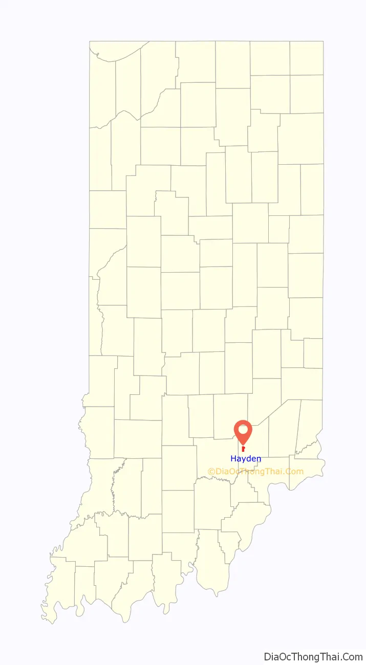
Hayden (also Hardenburgh or Six Mile) is an unincorporated community and census-designated place (CDP) in central Spencer Township, Jennings County, Indiana, United States. As of the 2020 census it had a population of 501.
| Name: | Hayden CDP |
|---|---|
| LSAD Code: | 57 |
| LSAD Description: | CDP (suffix) |
| State: | Indiana |
| County: | Jennings County |
| Elevation: | 620 ft (190 m) |
| Total Area: | 2.47 sq mi (6.41 km²) |
| Land Area: | 2.47 sq mi (6.41 km²) |
| Water Area: | 0.00 sq mi (0.00 km²) |
| Total Population: | 501 |
| Population Density: | 202.51/sq mi (78.18/km²) |
| ZIP code: | 47245 |
| FIPS code: | 1832584 |
| GNISfeature ID: | 435914 |
Online Interactive Map
Click on ![]() to view map in "full screen" mode.
to view map in "full screen" mode.
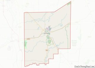
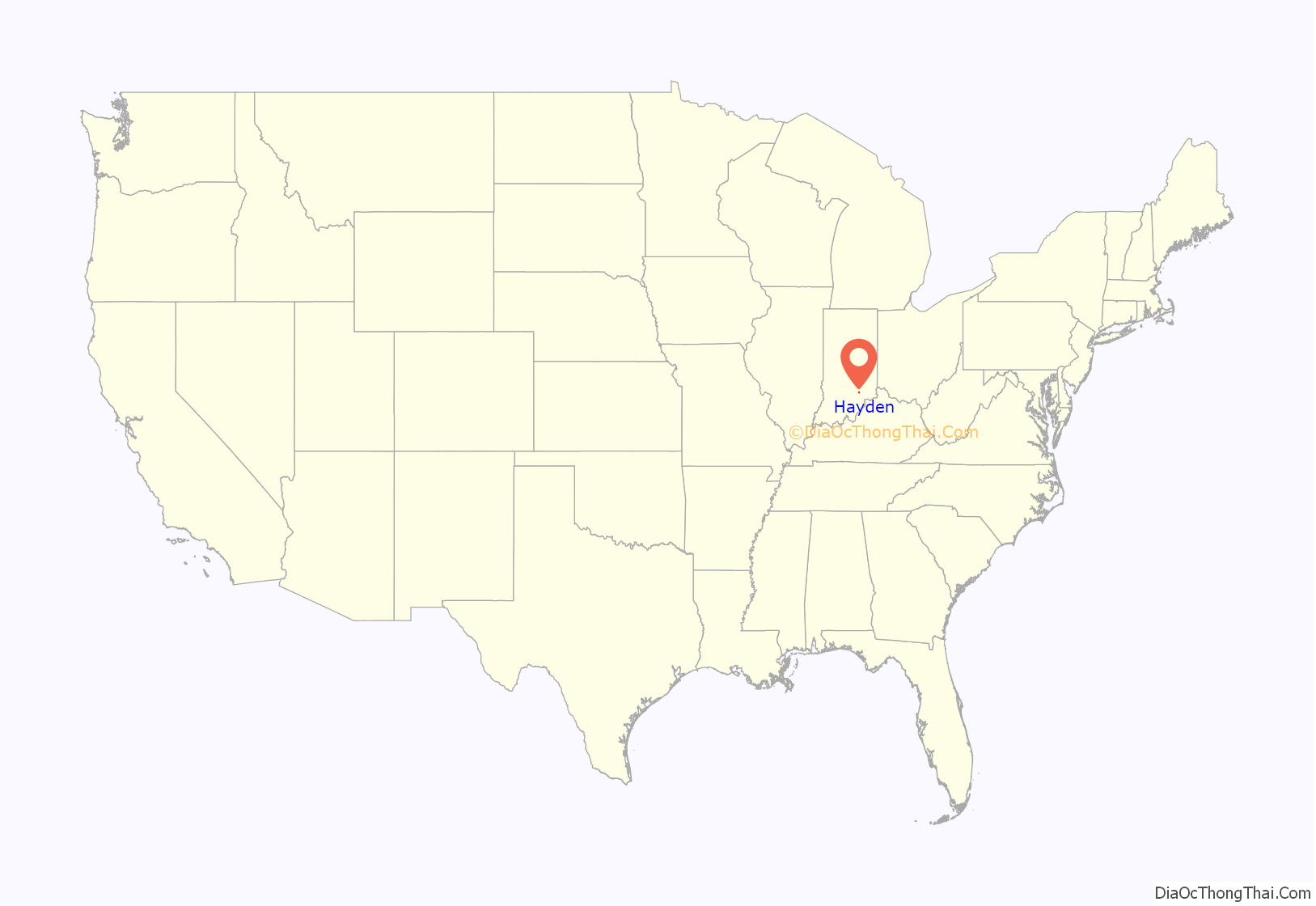
Hayden location map. Where is Hayden CDP?
History
Hayden was platted in 1854.
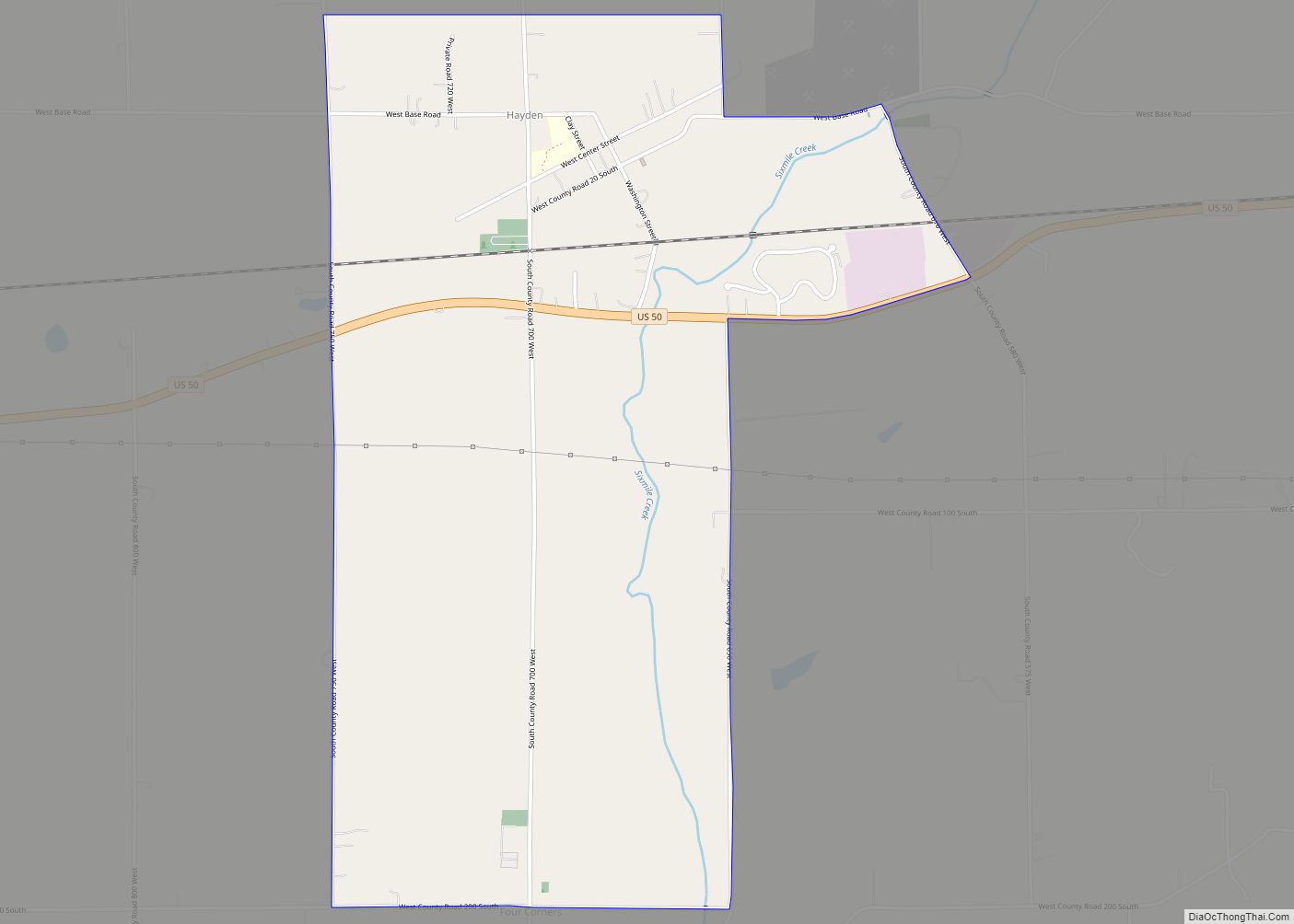
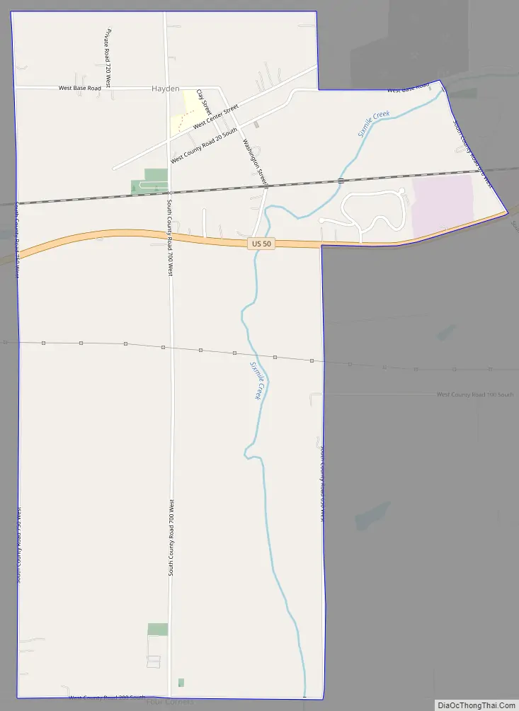
Hayden Road Map
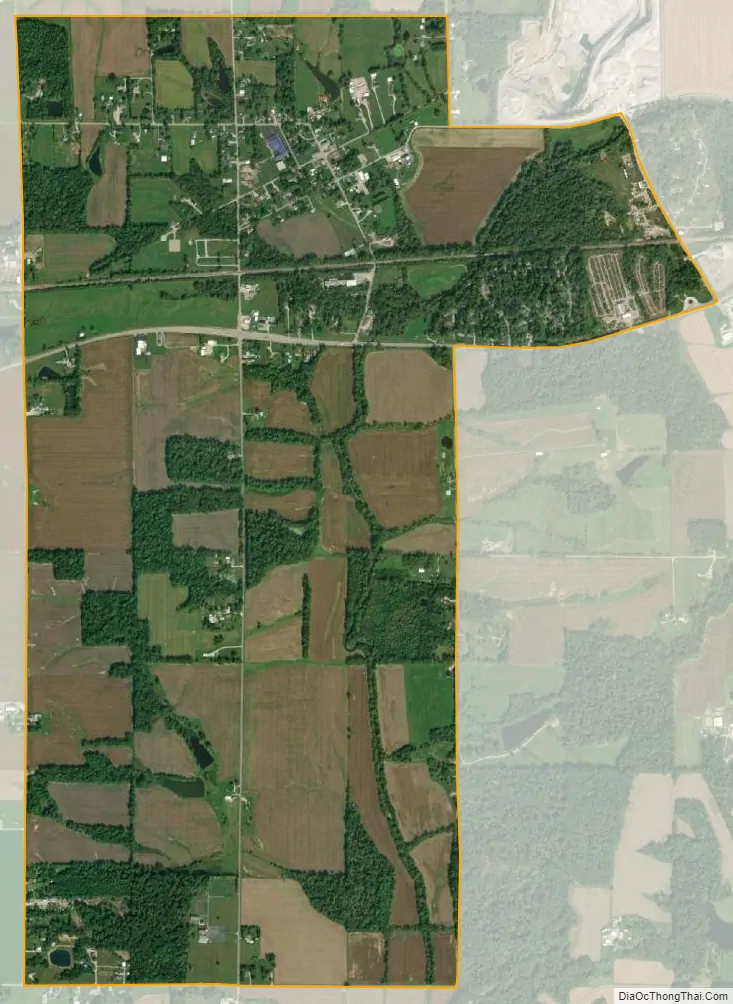
Hayden city Satellite Map
Geography
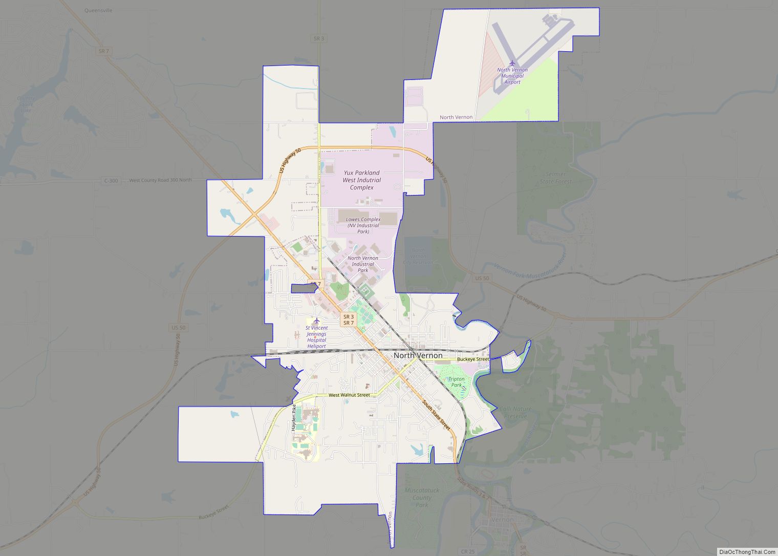
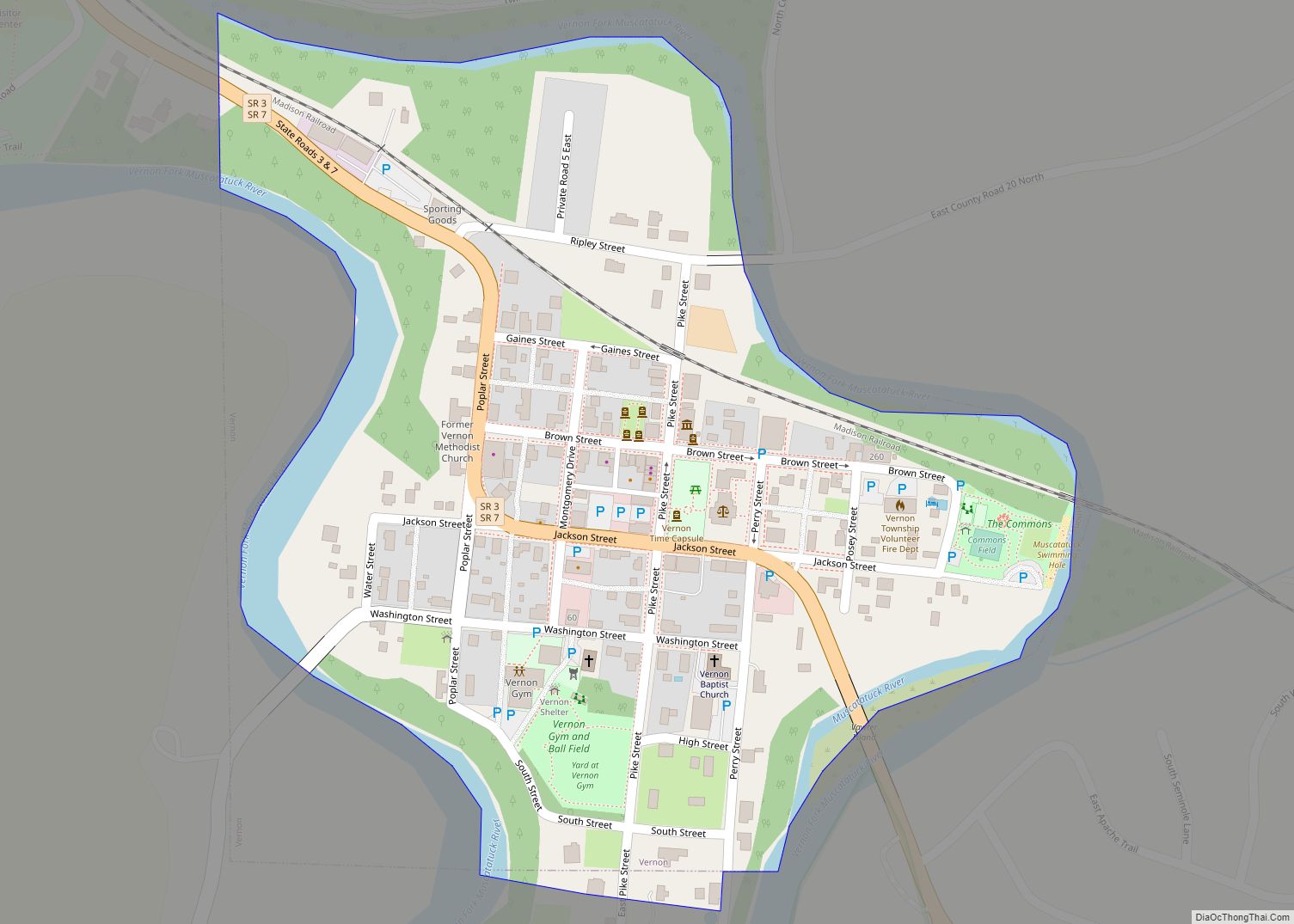
It lies along CR700W, west of the town of Vernon, the county seat of Jennings County. U.S. Route 50 passes through the CDP south of the village center; the highway leads northeast 7 miles (11 km) to North Vernon and west 8 miles (13 km) to Seymour.
The elevation of Hayden is 620 feet (190 m), and it is located at 38°58′59″N 85°44′26″W / 38.98306°N 85.74056°W / 38.98306; -85.74056 (38.9831094, -85.7405275). The Hayden post office has the ZIP code of 47245.
See also
Map of Indiana State and its subdivision:- Adams
- Allen
- Bartholomew
- Benton
- Blackford
- Boone
- Brown
- Carroll
- Cass
- Clark
- Clay
- Clinton
- Crawford
- Daviess
- De Kalb
- Dearborn
- Decatur
- Delaware
- Dubois
- Elkhart
- Fayette
- Floyd
- Fountain
- Franklin
- Fulton
- Gibson
- Grant
- Greene
- Hamilton
- Hancock
- Harrison
- Hendricks
- Henry
- Howard
- Huntington
- Jackson
- Jasper
- Jay
- Jefferson
- Jennings
- Johnson
- Knox
- Kosciusko
- LaGrange
- Lake
- Lake Michigan
- LaPorte
- Lawrence
- Madison
- Marion
- Marshall
- Martin
- Miami
- Monroe
- Montgomery
- Morgan
- Newton
- Noble
- Ohio
- Orange
- Owen
- Parke
- Perry
- Pike
- Porter
- Posey
- Pulaski
- Putnam
- Randolph
- Ripley
- Rush
- Saint Joseph
- Scott
- Shelby
- Spencer
- Starke
- Steuben
- Sullivan
- Switzerland
- Tippecanoe
- Tipton
- Union
- Vanderburgh
- Vermillion
- Vigo
- Wabash
- Warren
- Warrick
- Washington
- Wayne
- Wells
- White
- Whitley
- Alabama
- Alaska
- Arizona
- Arkansas
- California
- Colorado
- Connecticut
- Delaware
- District of Columbia
- Florida
- Georgia
- Hawaii
- Idaho
- Illinois
- Indiana
- Iowa
- Kansas
- Kentucky
- Louisiana
- Maine
- Maryland
- Massachusetts
- Michigan
- Minnesota
- Mississippi
- Missouri
- Montana
- Nebraska
- Nevada
- New Hampshire
- New Jersey
- New Mexico
- New York
- North Carolina
- North Dakota
- Ohio
- Oklahoma
- Oregon
- Pennsylvania
- Rhode Island
- South Carolina
- South Dakota
- Tennessee
- Texas
- Utah
- Vermont
- Virginia
- Washington
- West Virginia
- Wisconsin
- Wyoming