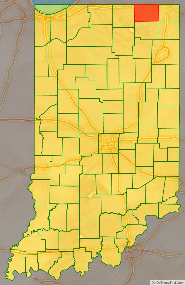
LaGrange County is a county located in the U.S. state of Indiana. As of 2020, the population was 40,446. The county seat is LaGrange, Indiana.
The county is located in the Northern Indiana region known as Michiana and is about 55 miles (89 km) east of South Bend, 105 miles (169 km) west of Toledo, Ohio, and 175 miles (282 km) northeast of Indianapolis. The area is well known for its large Amish population. For that reason, the county teams up with neighboring Elkhart County to promote tourism by referring to the area as Northern Indiana Amish Country.
About half of LaGrange County is Amish, and it is home to the third-largest Amish community in the United States, which belongs to the Elkhart-LaGrange Amish affiliation.
| Name: | LaGrange County |
|---|---|
| FIPS code: | 18-087 |
| State: | Indiana |
| Founded: | 1832 |
| Named for: | Château de la Grange-Bléneau |
| Seat: | LaGrange |
| Largest city: | LaGrange |
| Total Area: | 386.70 sq mi (1,001.5 km²) |
| Land Area: | 379.62 sq mi (983.2 km²) |
| Total Population: | 40,446 |
| Population Density: | 100/sq mi (40/km²) |
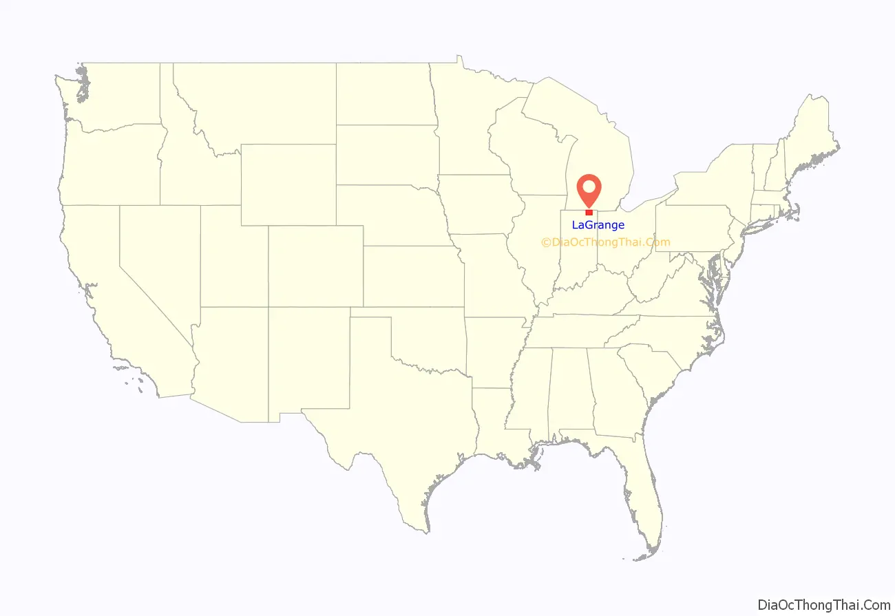
LaGrange County location map. Where is LaGrange County?
History
The first settlement of LaGrange County was founded about a half mile west of Lima in 1828. Over the next four years, settlers flocked to parts of Lima, Springfield, and Van Buren Townships. Finally in 1832, LaGrange County was carved out of neighboring Elkhart County and established with Lima as the county seat. The town of LaGrange was platted in 1836 and settled in 1842 as the new county seat, closer to the center of the county. Lima’s name was changed to Howe in 1909. LaGrange was laid out and platted in 1836.
LaGrange County’s initial settlers were Yankee immigrants, that is to say, they were from New England. They were descended from the English Puritans who settled that region in the colonial era. They were part of a wave of New England settlers moving west into what was then the Northwest Territory after the completion of the Erie Canal. The original settlers in LaGrange County specifically hailed from the Massachusetts counties of Worcester County, Suffolk County and Berkshire County; the Connecticut counties of Hartford County and Windham County as well as the Connecticut towns of Sherman, Lebanon and Fairfield; and from the Vermont towns of Burlington, Brookfield, Huntington and Grand Isle. They were mainly members of the Congregational Church, but as a result of the Second Great Awakening, many became Baptists and many also converted to Pentecostalism and Methodism. When they arrived in LaGrange County, there was nothing but a virgin forest and wild prairie. The New England settlers cleared roads, built farms, constructed churches, erected government buildings, and established post routes. As a result of this migration, LaGrange County was culturally continuous with early New England culture for many years.
In 1837, the government removed Chief Shipshewana and the Potawatomi Tribe from the county’s northwest corner. Several years later, the Chief was allowed to return and died in Newbury Township in 1841. A town named Georgetown had been platted in 1837 but was abandoned because of lack of development. In 1844, the first Amish came from Pennsylvania to settle around the old town. The village continued to grow, and the town of Shipshewana was platted nearby in 1899 and incorporated in 1916 in Newbury Township.
LaGrange County was named after the Château de la Grange-Bléneau, home of Revolutionary War hero, the Marquis de la Fayette, outside of Paris, France.
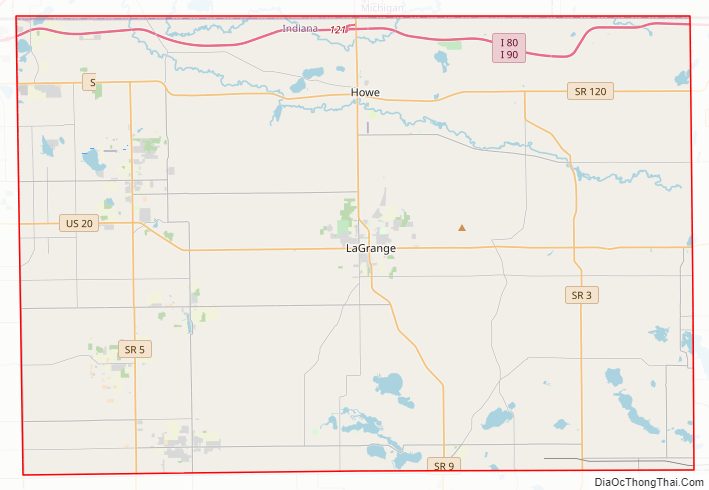
LaGrange County Road Map
Geography
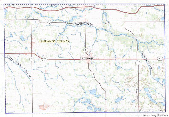
According to the 2010 census, the county has a total area of 386.70 square miles (1,001.5 km), of which 379.62 square miles (983.2 km) (or 98.17%) is land and 7.08 square miles (18.3 km) (or 1.83%) is water.
The county is mostly made up of rural farmland but also some rolling hills and several lakes.
Adjacent counties
- St. Joseph County, Michigan (northwest)
- Branch County, Michigan (northeast)
- Steuben County (east)
- Noble County (south)
- Elkhart County (west)
Transportation
Major highways
- I-80 / I-90 / Indiana Toll Road
LaGrange County Topographic Map
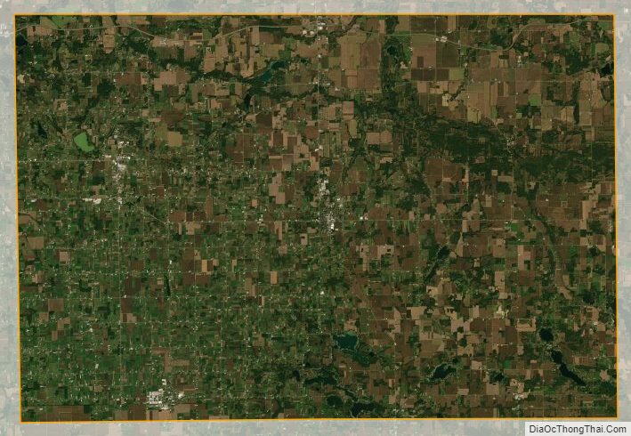
LaGrange County Satellite Map
LaGrange County Outline Map