Lee County is the westernmost county in the U.S. Commonwealth of Virginia. As of the 2020 census, the population was 22,173. Its county seat is Jonesville.
| Name: | Lee County |
|---|---|
| FIPS code: | 51-105 |
| State: | Virginia |
| Founded: | October 25, 1792 |
| Named for: | Light Horse Harry Lee |
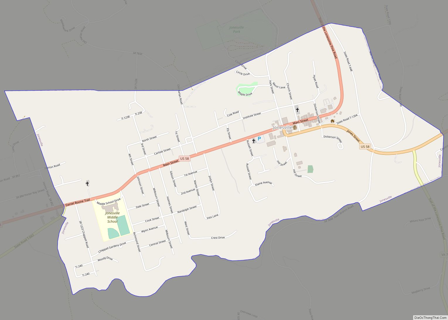
| Seat: | Jonesville |
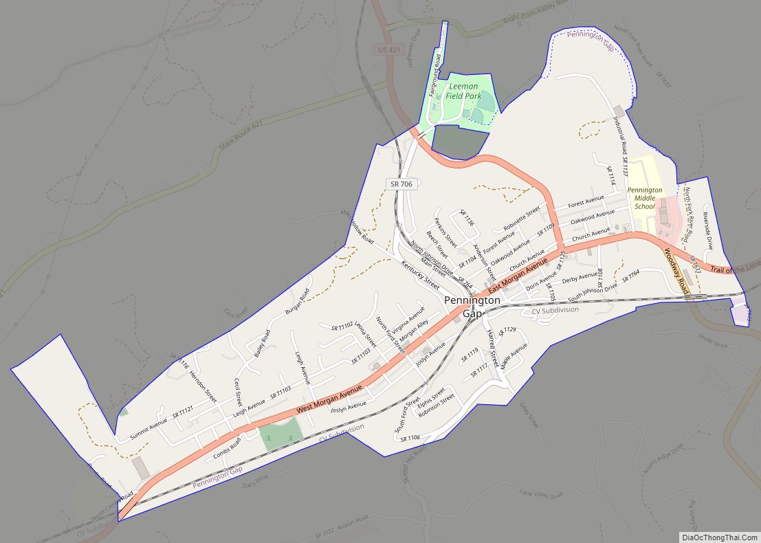
| Largest town: | Pennington Gap |
| Total Area: | 437 sq mi (1,130 km²) |
| Land Area: | 436 sq mi (1,130 km²) |
| Total Population: | 22,173 |
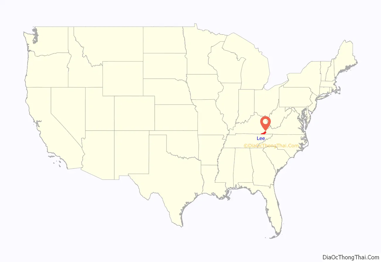
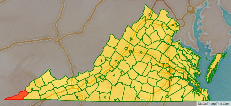
Lee County location map. Where is Lee County?
History
The area of far western Virginia and eastern Kentucky supported large Archaic Native American populations. The first known Europeans to enter what is present-day Lee County were a party of Spanish explorers, Juan de Villalobos and Francisco de Silvera, sent by Hernando de Soto in 1540, in search of gold. The county was formed after the American Revolutionary War in 1792 from Russell County. It was named for Light Horse Harry Lee, the Governor of Virginia from 1791 to 1794, who was famous for his exploits as a leader of light cavalry during the war. He was the father of Robert E. Lee, later a West Point graduate and career US Army officer who became the General in Chief of the Armies of the Confederate States during the American Civil War.
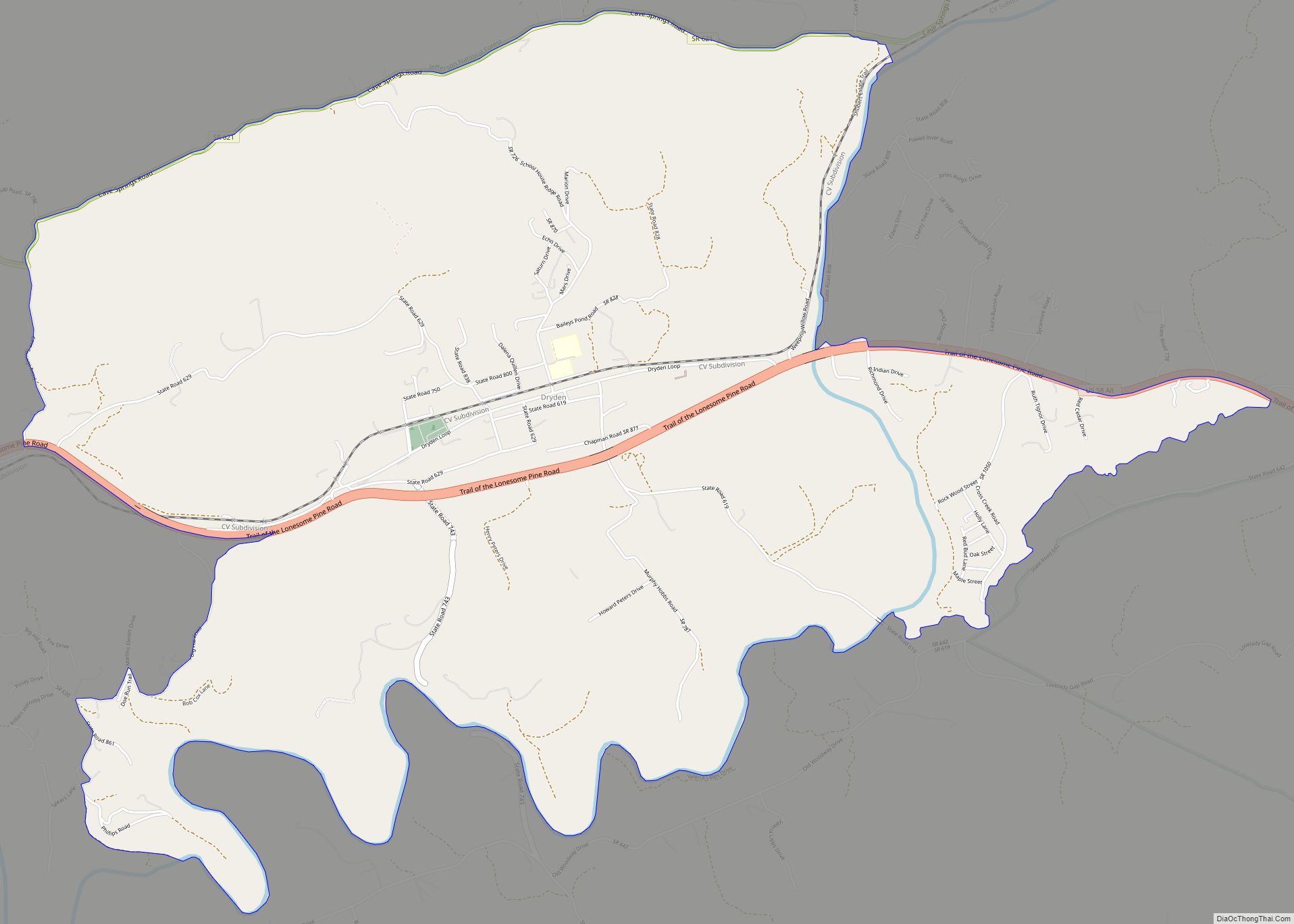
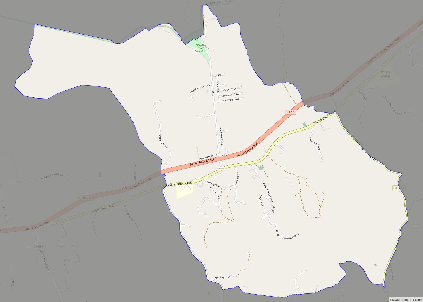
Lee County was the final front on the Kentucky Trace, now known as the Wilderness Road and The Trail of the Lonesome Pine. During the 1780s and 1790s, fortified buildings called “stations” were built along the trail for shelter from Indian raids as the settlers followed Daniel Boone’s path into the Kentucky frontier. The stations in Lee County were Yoakum Station at present-day Dryden, west to Powell River and Station Creek at today’s Rocky Station, then to Mump’s Fort at Jonesville, followed by Prist Station, Martin’s Station at Rose Hill, Chadwell Station at Chadwell Gap, Owen Station at Ewing, and finally Gibson Station, which still bears its original name. One of the largest early landowners was Revolutionary War officer and explorer Joseph Martin, after whom Martin’s Station and Martin’s Creek at Rose Hill are named. Due to his rank of command, Martin had been awarded some 25,000 acres (100 km) in a land grant after the war. He divided the land and sold it as a speculator. Rose Hill was established in 1832 as the first federally recognized post office in Lee County. In 1814, parts of Lee, Russell, and Washington counties were combined to form Scott County. In 1856, parts of Lee, Russell, and Scott counties were combined to form Wise County, named after the last governor of Virginia before the Civil War.
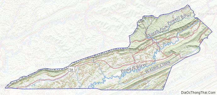
Lee County Road Map

Geography
According to the U.S. Census Bureau, the county has a total area of 437 square miles (1,130 km), of which 436 square miles (1,130 km) is land and 1.9 square miles (4.9 km) (0.4%) is water.
All of Lee County lies longitudinally west of West Virginia. The entirety of Lee County is physically closer to eight state capitals other than its own capital in Richmond: Raleigh, North Carolina; Columbia, South Carolina; Atlanta, Georgia; Nashville, Tennessee; Charleston, West Virginia; Frankfort, Kentucky; Columbus, Ohio; and Indianapolis, Indiana. Additionally, the far western part of Lee County–including Wheeler and the Cumberland Gap, roughly 350 miles (560 km) from Richmond–is closer to Montgomery, Alabama, a ninth state capital.
Districts
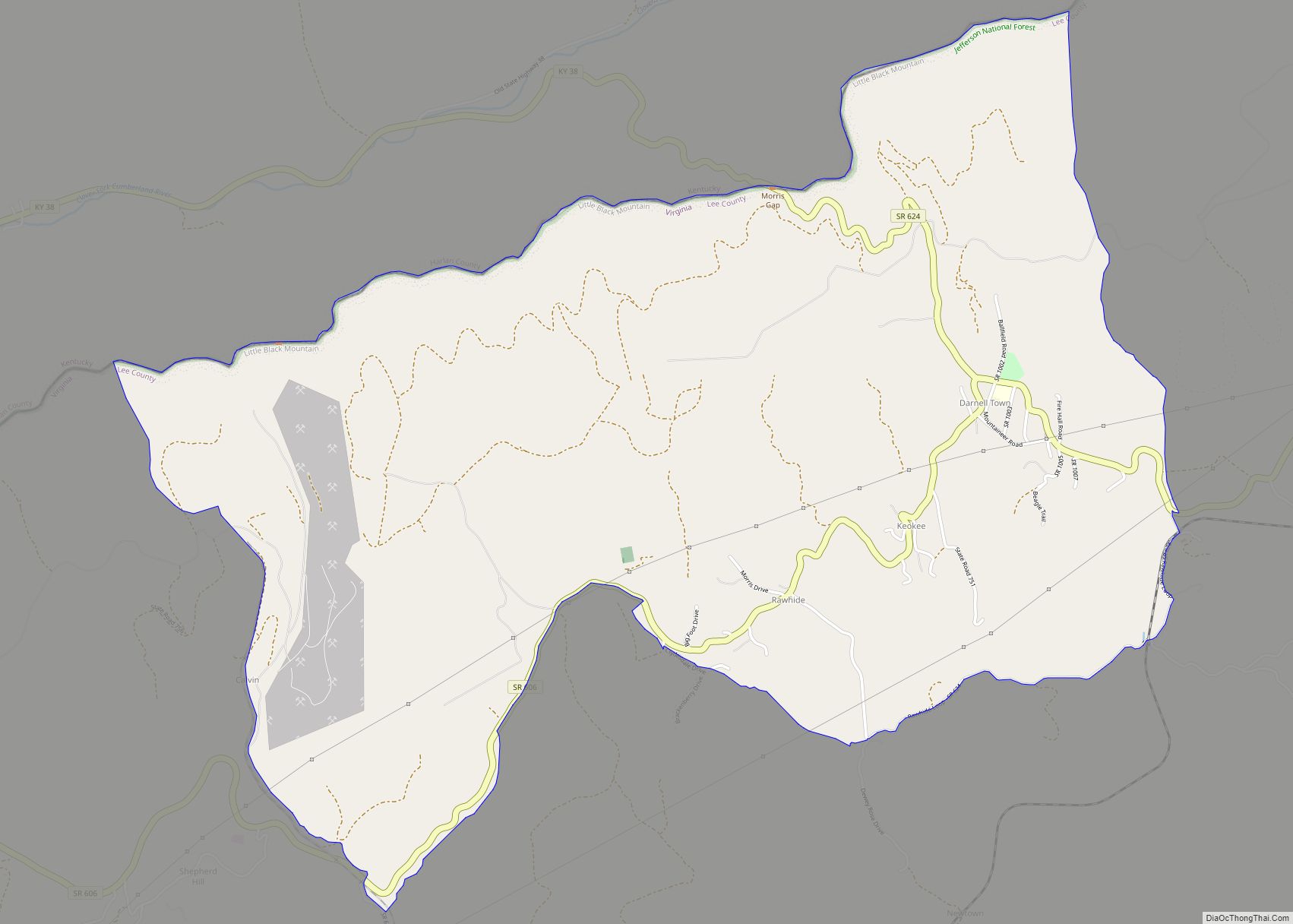
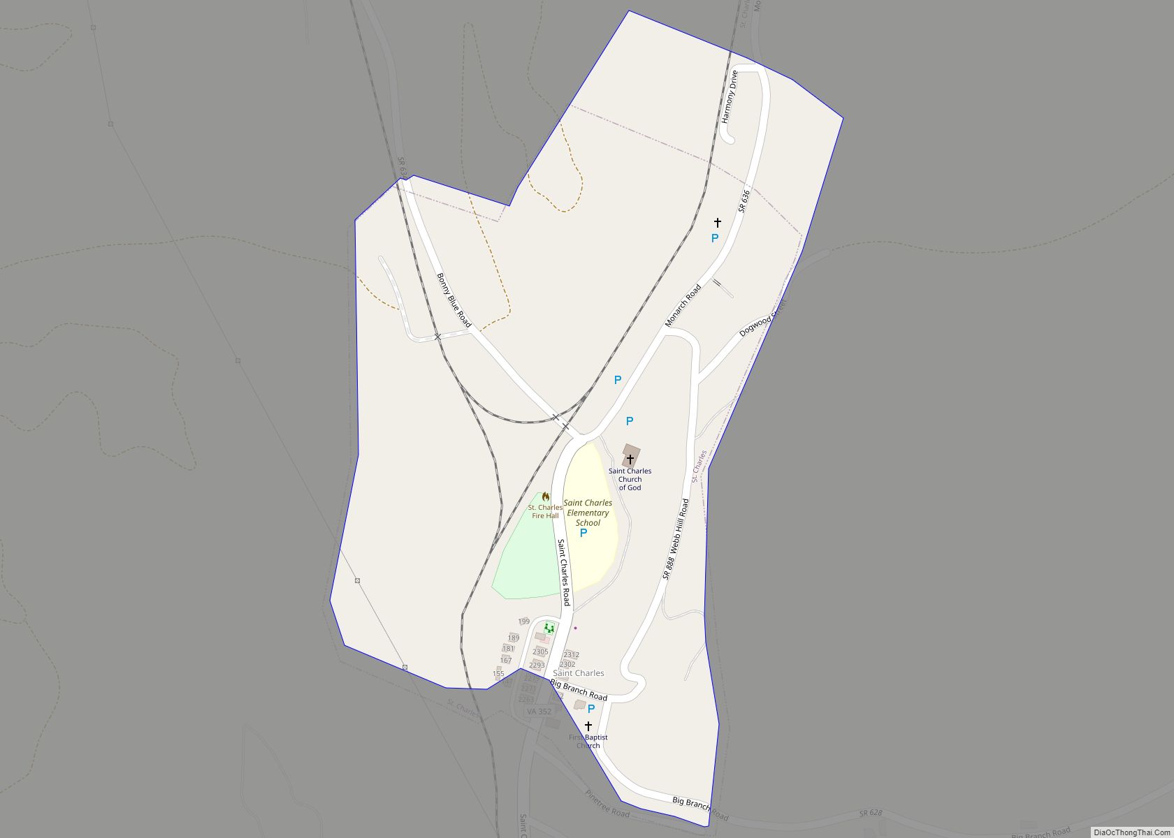
The county is divided into seven districts: Jonesville, Rocky Station, Rocky Station Mineral, Rose Hill, White Shoals, Yoakum, and Yoakum Mineral. There are three towns: Pennington Gap, St. Charles, and Jonesville.
Adjacent counties
- Wise County, Virginia – northeast
- Scott County, Virginia – east
- Hancock County, Tennessee – south
- Claiborne County, Tennessee – south-southwest
- Bell County, Kentucky – west
- Harlan County, Kentucky – northwest
National protected areas
- Cumberland Gap National Historical Park (part)
- Jefferson National Forest (part)
Major routes
- US 58
- US 58 Alt.
- US 421
- SR 70
- SR 352
- SR 600
Lee County Topographic Map
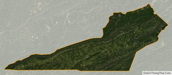
Lee County Satellite Map
Lee County Outline Map