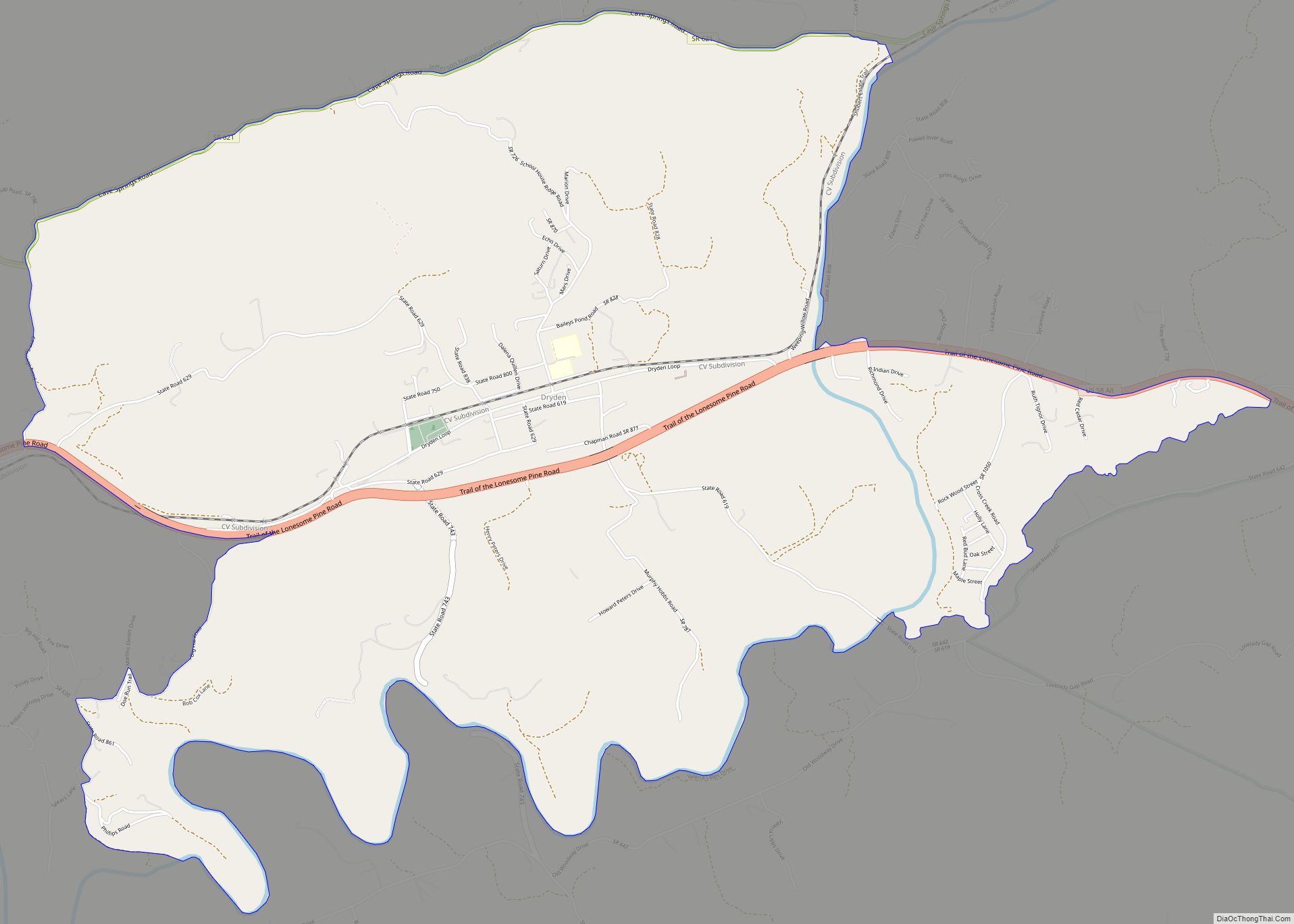
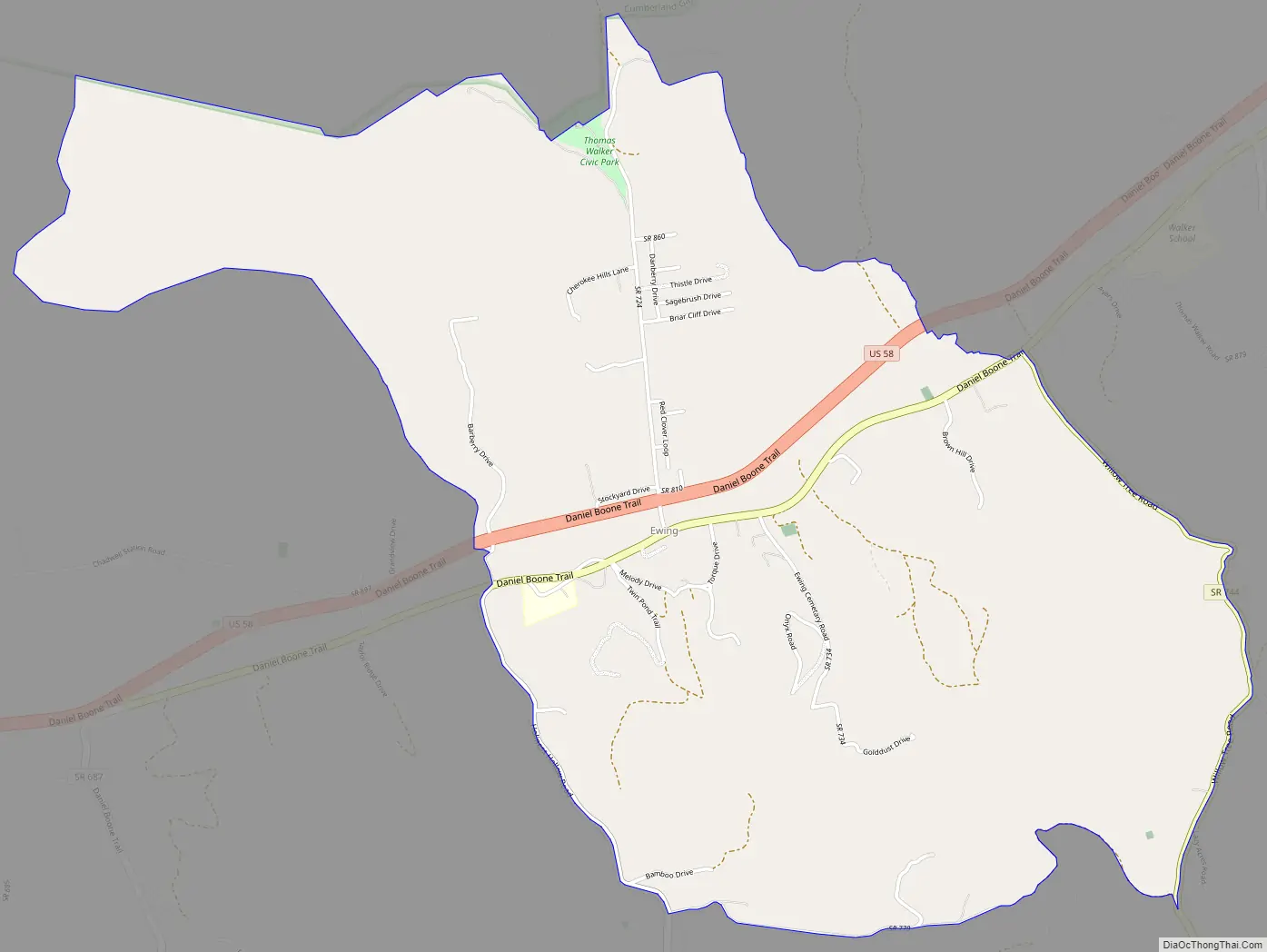
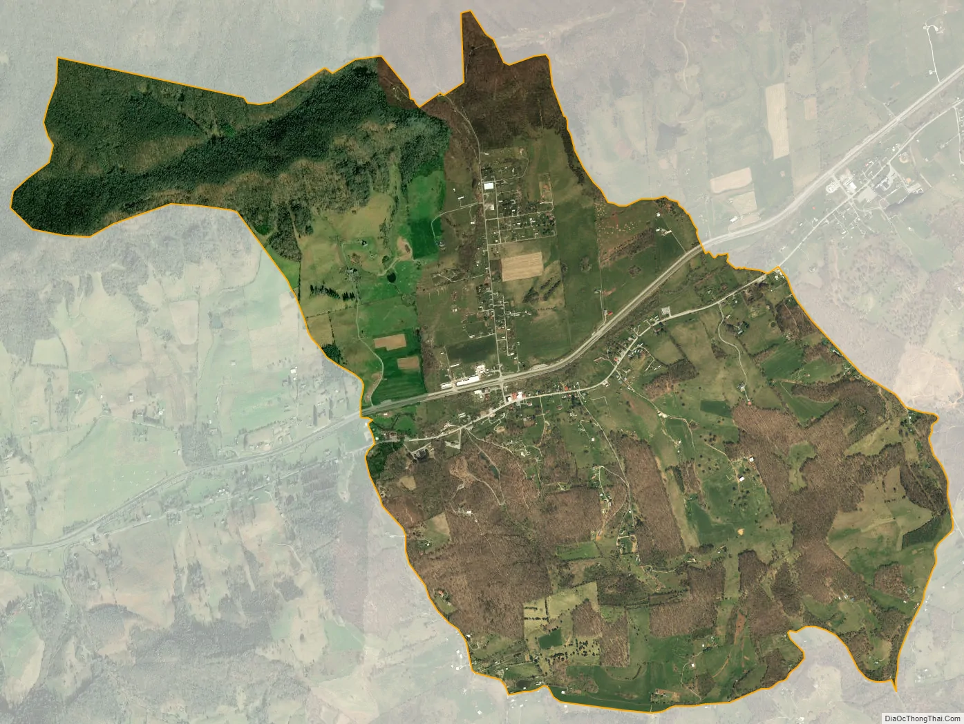
Ewing is an unincorporated community and census-designated place (CDP) in Lee County, Virginia. The population was 439 at the 2010 U.S. Census. Ewing is one of the westernmost settlements in the Commonwealth of Virginia, before reaching the Cumberland Gap and the borders with Kentucky and Tennessee.
The Ewing post office was established in 1891.
Ewing is home to Thomas Walker High School and the Lincoln Memorial University Veterinarian Teaching and Research Center.
| Name: | Ewing CDP |
|---|---|
| LSAD Code: | 57 |
| LSAD Description: | CDP (suffix) |
| State: | Virginia |
| County: | Lee County |
| Elevation: | 1,407 ft (429 m) |
| Total Area: | 3.76 sq mi (9.75 km²) |
| Land Area: | 3.76 sq mi (9.75 km²) |
| Water Area: | 0.004 sq mi (0.01 km²) |
| Total Population: | 439 |
| Population Density: | 117/sq mi (45.0/km²) |
| ZIP code: | 24248 |
| Area code: | 276 |
| FIPS code: | 5126384 |
| GNISfeature ID: | 1466374 |
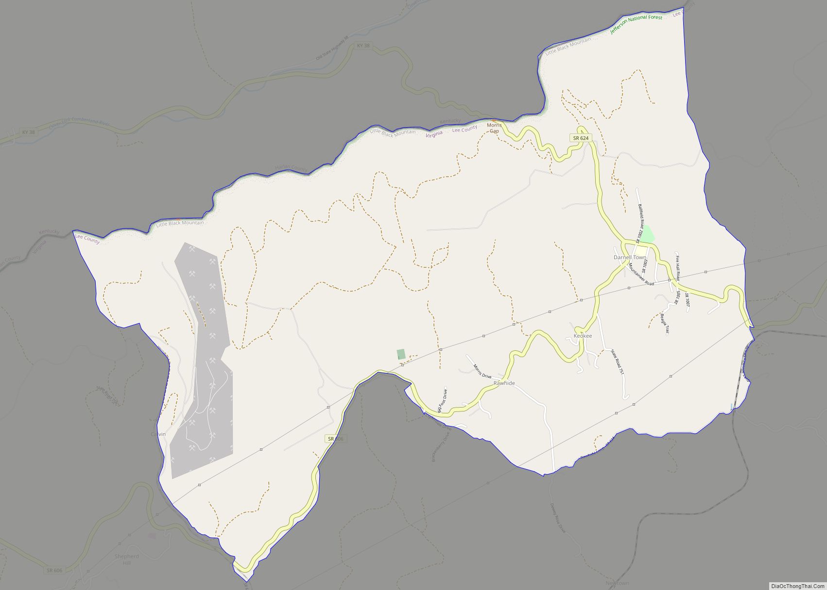
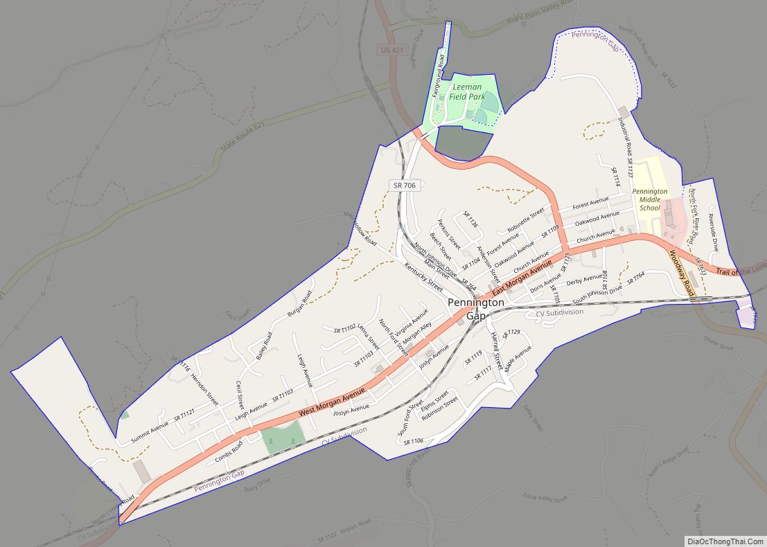
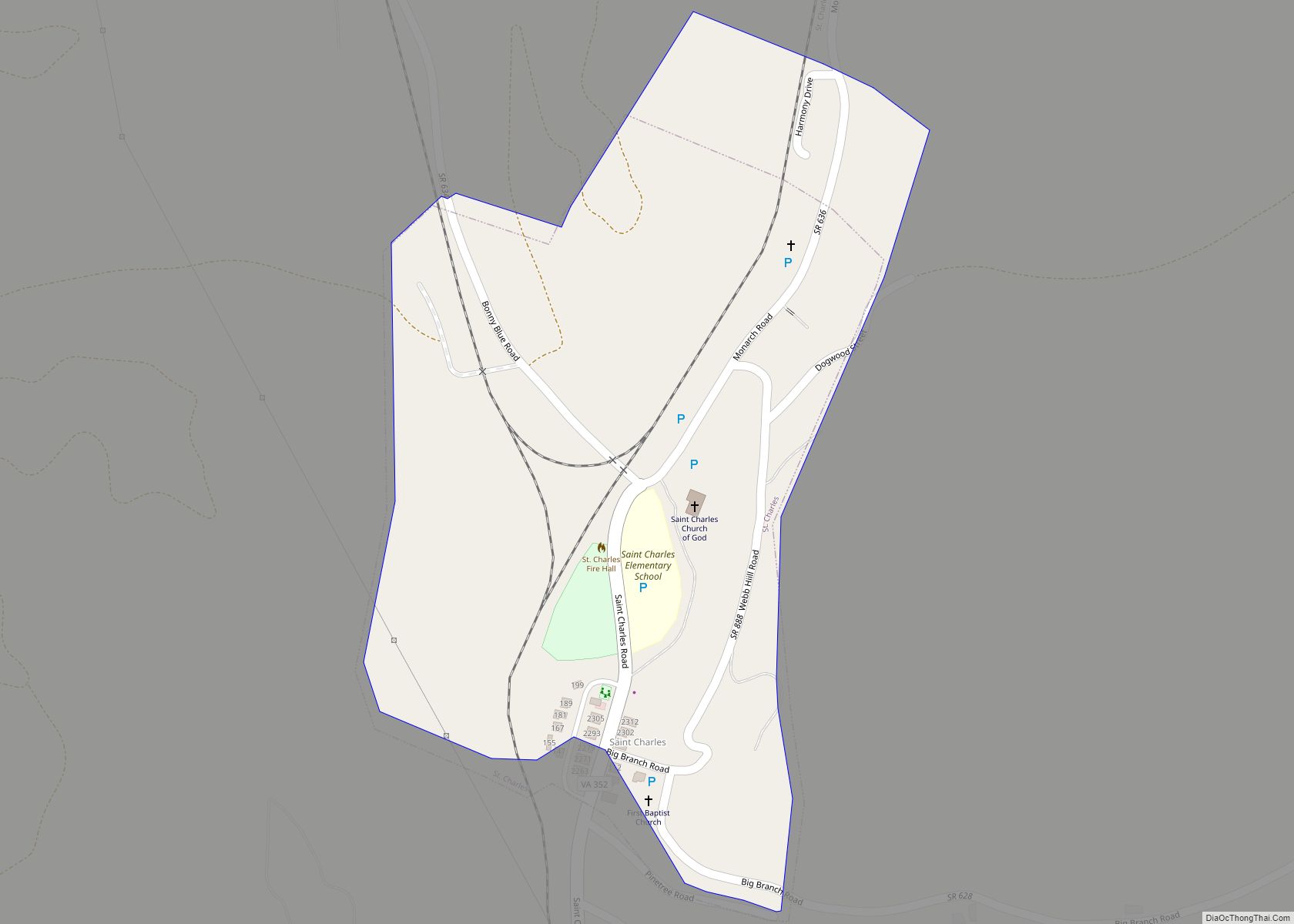
Online Interactive Map
Click on ![]() to view map in "full screen" mode.
to view map in "full screen" mode.
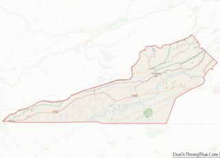
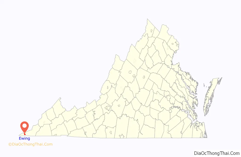
Ewing location map. Where is Ewing CDP?

Ewing Road Map
Ewing city Satellite Map
Geography
Ewing is located in western Lee County at 36°38′27″N 83°25′55″W / 36.64083°N 83.43194°W / 36.64083; -83.43194 (36.640738, −83.431908). It is 2 miles (3 km) south of the Kentucky border which follows the crest of Cumberland Mountain, and less than 3 miles (5 km) north of the Tennessee border. U.S. Route 58 passes through the center of town, leading east 20 miles (32 km) to Jonesville, the Lee county seat, and west 14 miles (23 km) to Cumberland Gap, Tennessee. Ewing is 404 miles (650 km) southwest of Richmond, the capital of Virginia.
According to the United States Census Bureau, the Ewing CDP has a total area of 3.7 square miles (9.7 km), of which 1.4 acres (5,768 m), or 0.06%, are water. Ewing is in the valley of Indian Creek, which flows west-southwest to join the Powell River in Tennessee.
See also
Map of Virginia State and its subdivision:- Accomack
- Albemarle
- Alexandria
- Alleghany
- Amelia
- Amherst
- Appomattox
- Arlington
- Augusta
- Bath
- Bedford
- Bedford City
- Bland
- Botetourt
- Bristol
- Brunswick
- Buchanan
- Buckingham
- Buena Vista
- Campbell
- Caroline
- Carroll
- Charles City
- Charlotte
- Charlottesville
- Chesapeake
- Chesterfield
- Clarke
- Clifton Forge City
- Colonial Heights
- Covington
- Craig
- Culpeper
- Cumberland
- Danville
- Dickenson
- Dinwiddie
- Emporia
- Essex
- Fairfax
- Fairfax City
- Falls Church
- Fauquier
- Floyd
- Fluvanna
- Franklin
- Frederick
- Fredericksburg
- Galax
- Giles
- Gloucester
- Goochland
- Grayson
- Greene
- Greensville
- Halifax
- Hampton
- Hanover
- Harrisonburg
- Henrico
- Henry
- Highland
- Hopewell
- Isle of Wight
- James City
- King and Queen
- King George
- King William
- Lancaster
- Lee
- Lexington
- Loudoun
- Louisa
- Lunenburg
- Lynchburg
- Madison
- Manassas
- Manassas Park
- Martinsville
- Mathews
- Mecklenburg
- Middlesex
- Montgomery
- Nelson
- New Kent
- Newport News
- Norfolk
- Northampton
- Northumberland
- Norton
- Nottoway
- Orange
- Page
- Patrick
- Petersburg
- Pittsylvania
- Poquoson
- Portsmouth
- Powhatan
- Prince Edward
- Prince George
- Prince William
- Pulaski
- Radford
- Rappahannock
- Richmond
- Roanoke
- Roanoke City
- Rockbridge
- Rockingham
- Russell
- Salem
- Scott
- Shenandoah
- Smyth
- Southampton
- Spotsylvania
- Stafford
- Staunton
- Suffolk
- Surry
- Sussex
- Tazewell
- Virginia Beach
- Warren
- Washington
- Waynesboro
- Westmoreland
- Williamsburg
- Winchester
- Wise
- Wythe
- York
- Alabama
- Alaska
- Arizona
- Arkansas
- California
- Colorado
- Connecticut
- Delaware
- District of Columbia
- Florida
- Georgia
- Hawaii
- Idaho
- Illinois
- Indiana
- Iowa
- Kansas
- Kentucky
- Louisiana
- Maine
- Maryland
- Massachusetts
- Michigan
- Minnesota
- Mississippi
- Missouri
- Montana
- Nebraska
- Nevada
- New Hampshire
- New Jersey
- New Mexico
- New York
- North Carolina
- North Dakota
- Ohio
- Oklahoma
- Oregon
- Pennsylvania
- Rhode Island
- South Carolina
- South Dakota
- Tennessee
- Texas
- Utah
- Vermont
- Virginia
- Washington
- West Virginia
- Wisconsin
- Wyoming