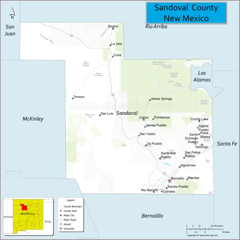
Sandoval County (Spanish: Condado de Sandoval) is located in the U.S. state of New Mexico. As of the 2020 census, the population was 148,834, making it the fourth-most populous county in New Mexico. The county seat is Bernalillo.
Sandoval County is part of the Albuquerque metropolitan area.
| Name: | Sandoval County |
|---|---|
| FIPS code: | 35-043 |
| State: | New Mexico |
| Founded: | 1903 |
| Named for: | Sandoval family |
| Seat: | Bernalillo |
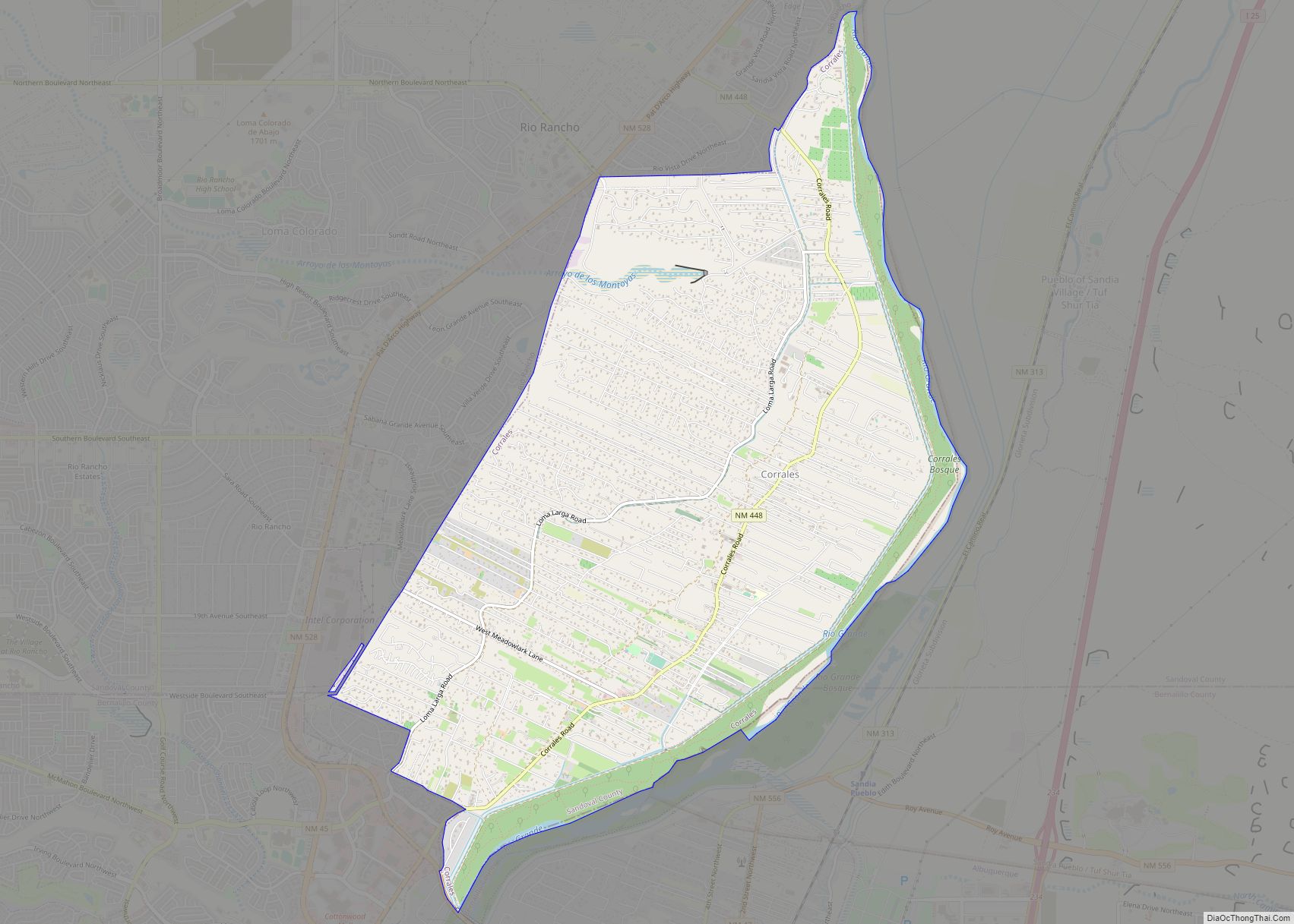
| Largest city: | Rio Rancho |
| Total Area: | 3,716 sq mi (9,620 km²) |
| Land Area: | 3,711 sq mi (9,610 km²) |
| Total Population: | 148,834 |
| Population Density: | 35/sq mi (14/km²) |
| Time zone: | UTC−7 (Mountain) |
| Summer Time Zone (DST): | UTC−6 (MDT) |
| Website: | www.sandovalcountynm.gov |
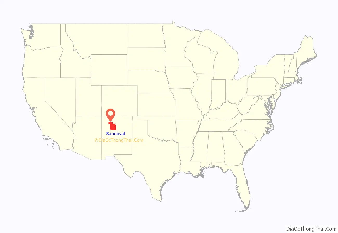
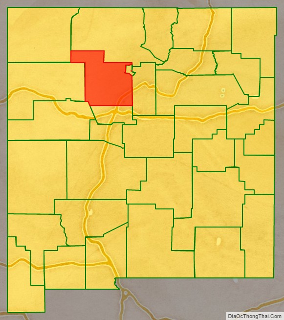
Sandoval County location map. Where is Sandoval County?
History
Sandoval County was created in 1903 from the northern part of Bernalillo County. Its name comes from one of the large land-holding Spanish families in the area. The original county seat was Corrales, but it was moved to Bernalillo in 1905.
Mormon Battalion Monument (New Mexico) is in the county.
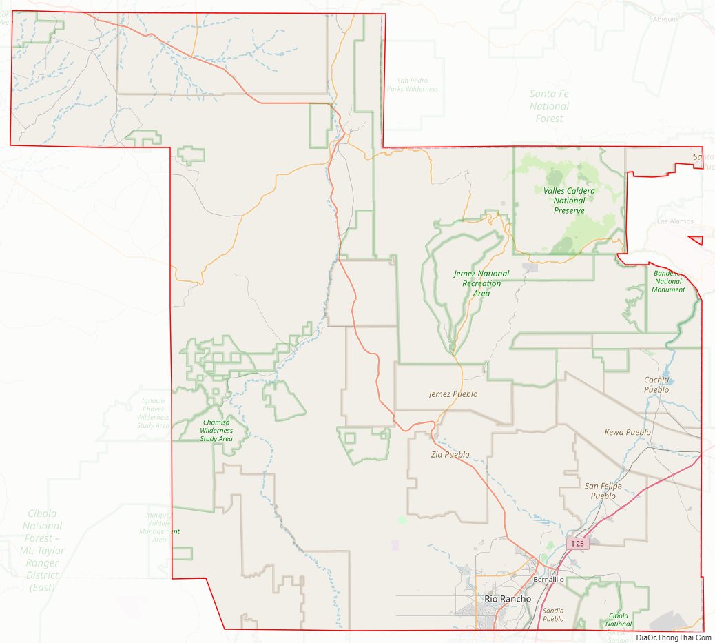
Sandoval County Road Map
Geography
According to the U.S. Census Bureau, the county has a total area of 3,716 square miles (9,620 km), of which 3,711 square miles (9,610 km) is land and 5.3 square miles (14 km) (0.1%) is water. The highest point in the county is the summit of Redondo Peak, at 11,254 feet (3,430 m).
A relatively small portion of the county exists as a geographically separate exclave between Los Alamos County and Santa Fe County. This came about when Los Alamos County was created; the land that became the exclave would have been part of Los Alamos but was excluded owing to its sacred status among the local Indians. Rather than be ceded to neighboring Santa Fe (or Los Alamos) it has remained part of Sandoval.
Adjacent counties
- Rio Arriba County – north
- Los Alamos County – northeast (west of the exclave)
- Santa Fe County – east (in two locations near Los Alamos County including the exclave)
- Bernalillo County – south
- Cibola County – southwest
- McKinley County – west
- San Juan County – northwest
Native American Reservations
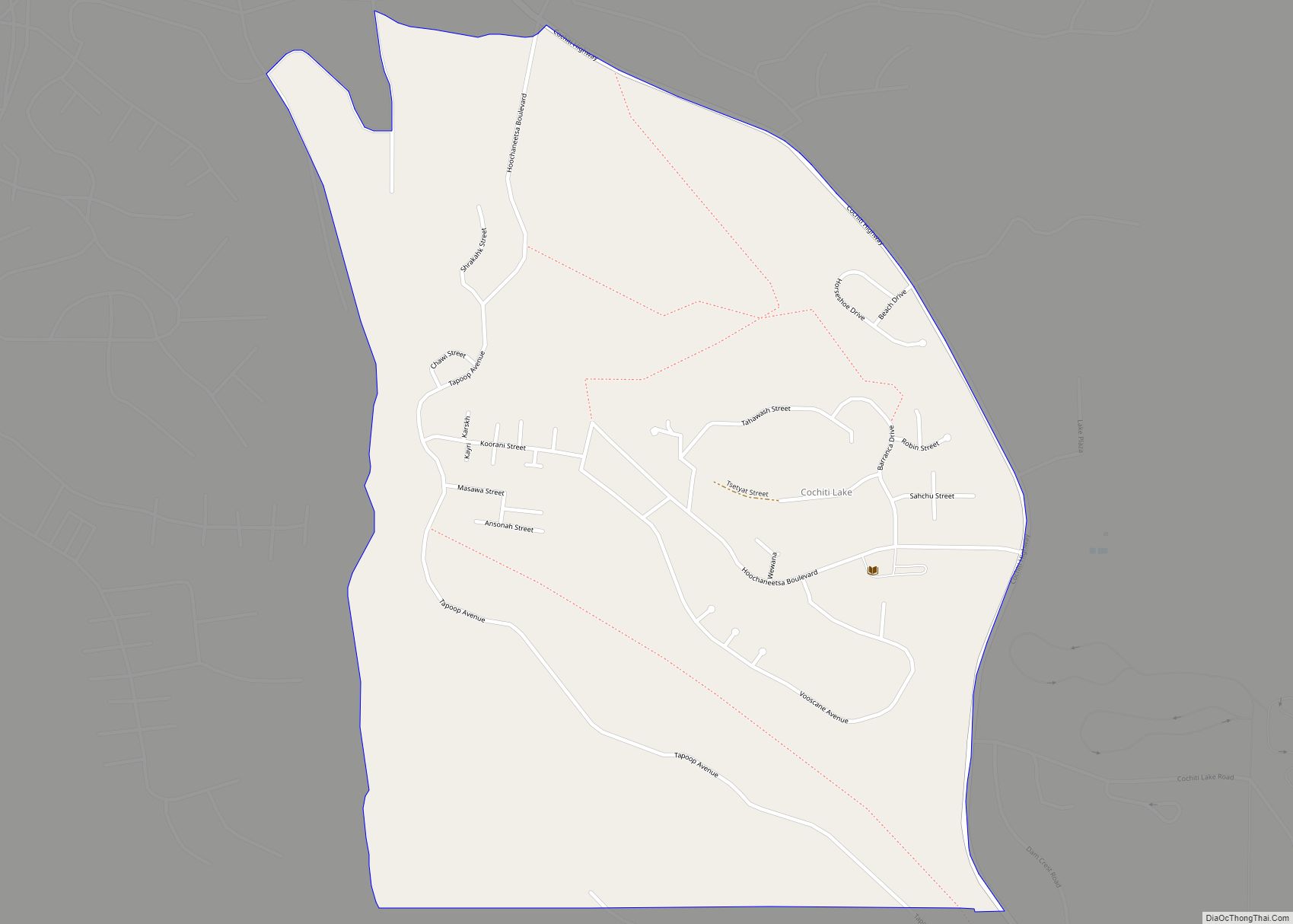
Sandoval County has 12 Indian reservations and two joint-use areas lying within its borders. This is the second highest number of reservations of any county in the United States (after San Diego County, California, which has 18 reservations.) Riverside County, California also has 12 reservations, but no joint-use areas.
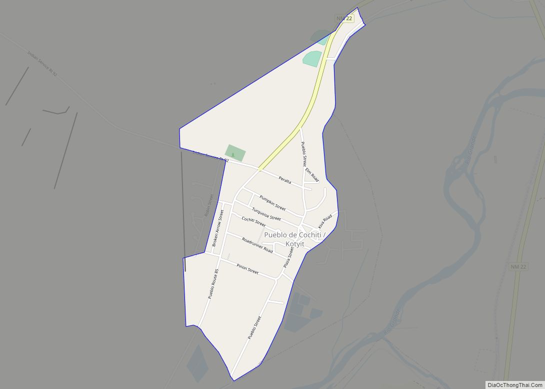
- Cochiti Pueblo (partly in Santa Fe County)
- Jemez Pueblo
- Jicarilla Apache Indian Reservation (partly in Rio Arriba County)
- Laguna Pueblo (partly in Bernalillo, Cibola and Valencia Counties)
- Navajo Nation (extending into six other counties in New Mexico, plus three in Arizona and one in Utah)
- San Felipe Pueblo
- San Felipe/Santa Ana joint use area
- San Felipe/Santo Domingo joint use area
- San Ildefonso Pueblo (partly in Santa Fe County)
- Sandia Pueblo (partly in Bernalillo County)
- Santa Ana Pueblo
- Santa Clara Pueblo (partly in Rio Arriba and Santa Fe counties)
- Santo Domingo Pueblo (partly in Santa Fe County)
- Zia Pueblo
National protected areas
- Bandelier National Monument (part)
- Cibola National Forest (part)
- El Camino Real de Tierra Adentro National Historic Trail (part)
- Kasha-Katuwe Tent Rocks National Monument
- Santa Fe National Forest (part)
- Valles Caldera National Preserve (part)
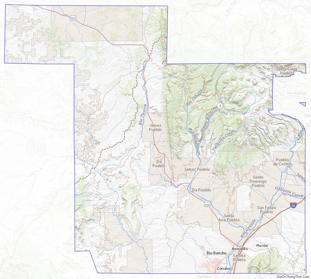
Sandoval County Topographic Map
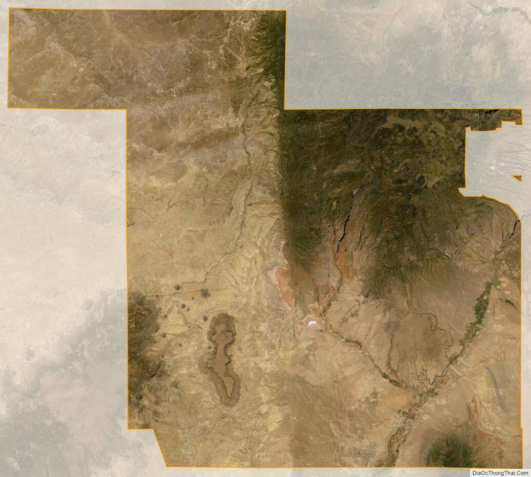
Sandoval County Satellite Map
Sandoval County Outline Map