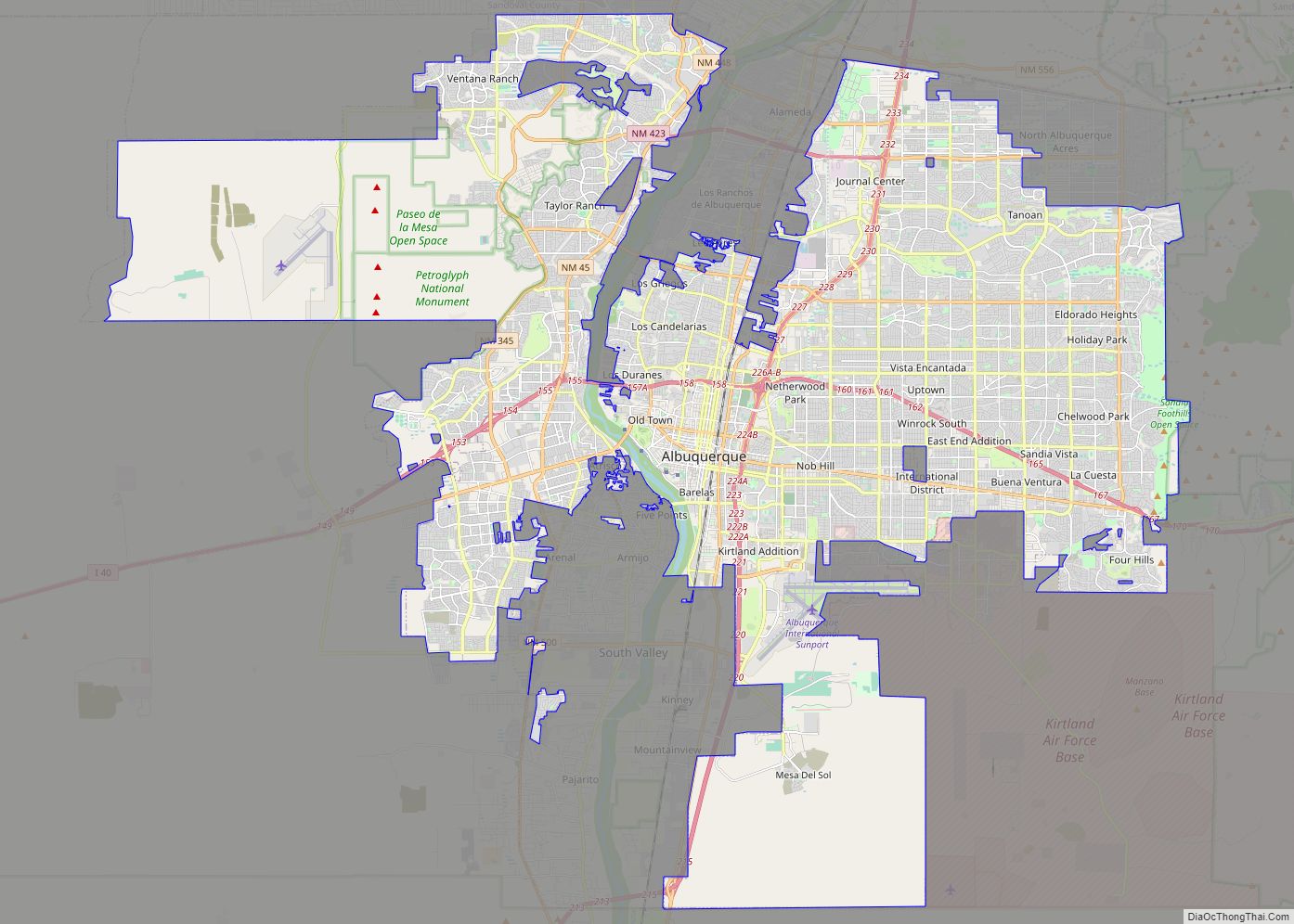
Rio Rancho (Spanish: Río Rancho) is the most populous and only city in Sandoval County, part of the expansive Albuquerque metropolitan area, in the U.S. state of New Mexico. A small portion of the city extends into northern Bernalillo County.
It is the third-largest city in New Mexico, and one of the most rapidly growing. As of the 2020 census, Rio Rancho had a population of 104,046. The name Rio Rancho derives from Los Ranchos, the Spanish colonial ranches established along the Rio Grande in the Albuquerque Basin, and throughout historic Nuevo México. There were large ranches also in neighboring Corrales. Since the late 20th century, it has developed as a suburb of Albuquerque.
| Name: | Rio Rancho city |
|---|---|
| LSAD Code: | 25 |
| LSAD Description: | city (suffix) |
| State: | New Mexico |
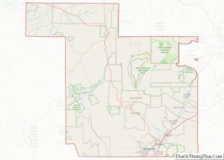
| County: | Bernalillo County, Sandoval County |
| Founded: | 1961 |
| Incorporated: | 1981 |
| Elevation: | 5,282 ft (1,610 m) |
| Land Area: | 103.36 sq mi (267.70 km²) |
| Water Area: | 0.26 sq mi (0.67 km²) |
| Population Density: | 1,006.63/sq mi (388.66/km²) |
| Area code: | 505 |
| FIPS code: | 3563460 |
| GNISfeature ID: | 1699884 |
| Website: | www.ci.rio-rancho.nm.us |
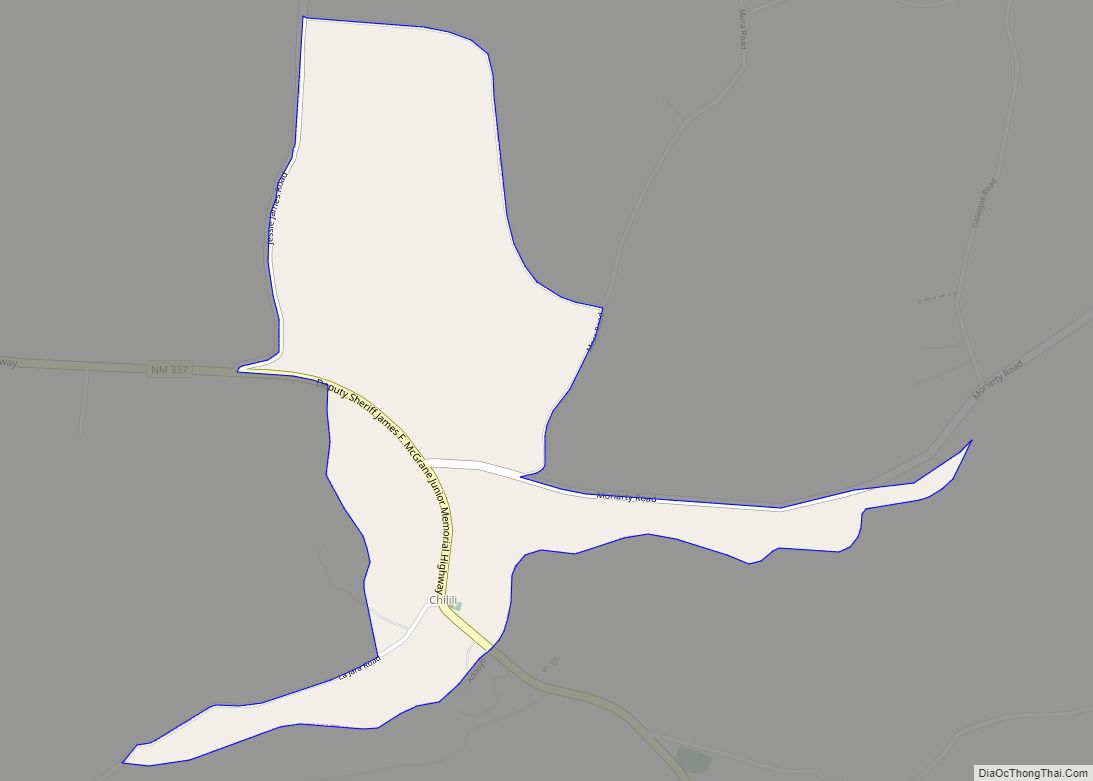
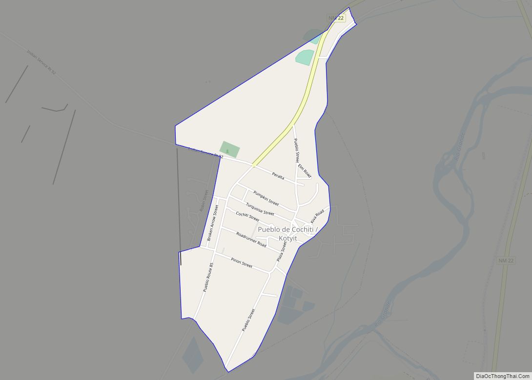
Online Interactive Map
Click on ![]() to view map in "full screen" mode.
to view map in "full screen" mode.
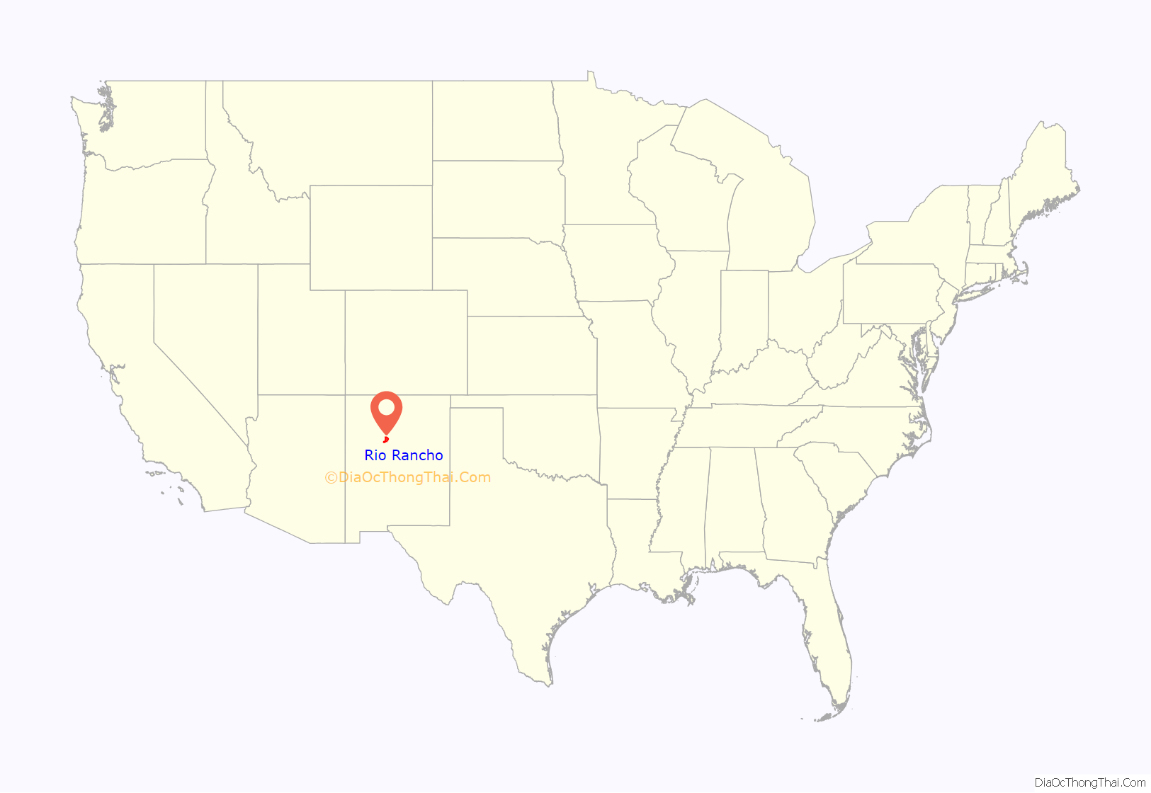
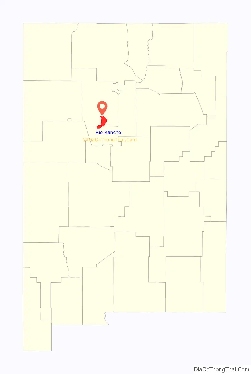
Rio Rancho location map. Where is Rio Rancho city?
History
The great majority of the territory of Rio Rancho was originally part of the Town of Alameda Grant, which was founded by Spanish colonial settlers in 1710. It was acquired by the United States in 1848, after it defeated Mexico in the Mexican-American War. (Mexico had been independent of Spain since 1821.) The ranches were used for cattle and sheep.
By the early 20th century, much of the land grant had been divided and sold to land investment companies. Its proximity to the city of Albuquerque made it a prime area for suburban development in the post-World War II period. In 1961 Amrep Corporation purchased 55,000 acres (22,000 ha) and created a housing development called “Rio Rancho Estates”. The first families moved into this development in the early 1960s.
Amrep contracted with Ezio Valentini, one of the original developers of Cape Coral, Florida, to design and implement a marketing plan to encourage land sales. He organized dinner-parties for prospective customers in northern states through offices in 14 states. Migrants were attracted to this area, and the population grew ten-fold between 1970 and 1980. The City of Rio Rancho was incorporated in 1981. The opening of a large Intel Corporation plant in 1981 generated numerous jobs and had positive economic effects for the city.
Since the 1990s, Rio Rancho has taken steps to become more independent from neighboring Albuquerque. It established a separate public unified school district and library system. It is seeking to attract more businesses to the area, so that residents might live and work here.
In the early 21st century, the city worked to create a center: the Downtown City Centre development included a new city hall, a new University of New Mexico West and Central New Mexico Community College campus, and the Santa Ana Star Center. The sports and live event arena opened in October 2006. City Hall opened in September 2007.
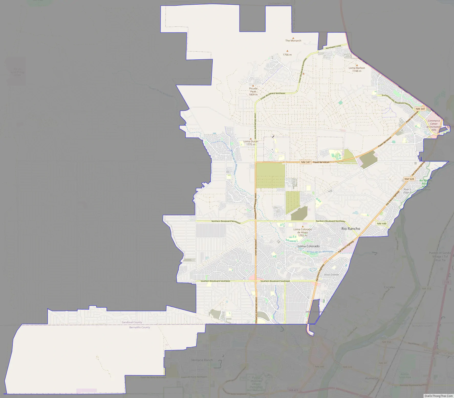
Rio Rancho Road Map
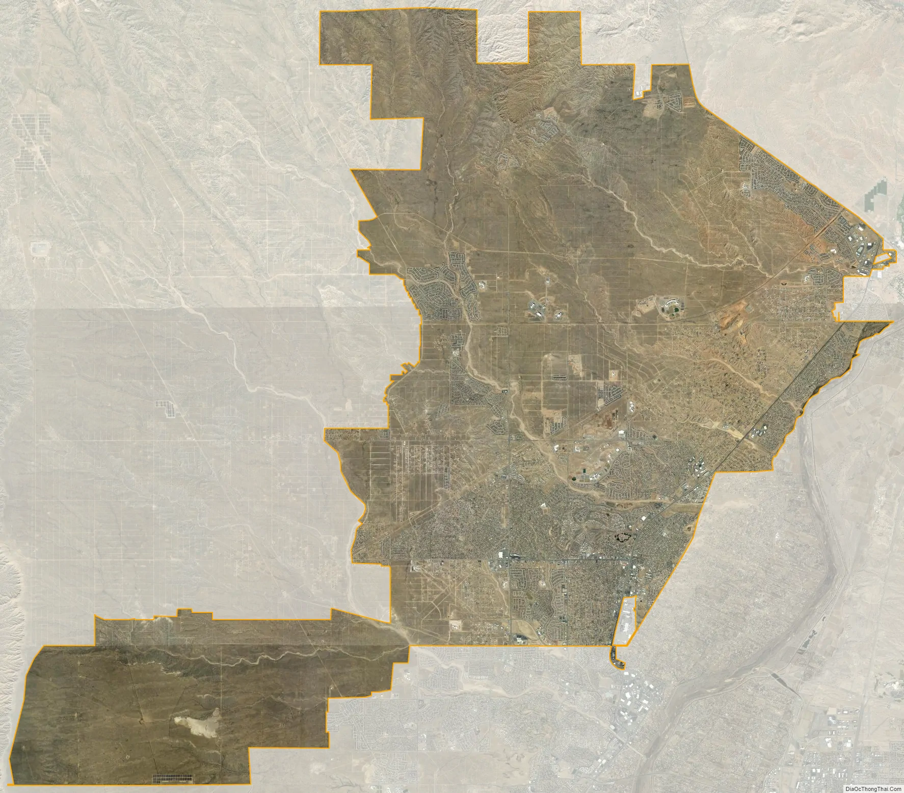
Rio Rancho city Satellite Map
Geography
Rio Rancho is located at 35°17’10” North, 106°40’14” West (35.286185, -106.670660). It lies in the Albuquerque Basin to the west of the Rio Grande, which is a boundary on the northeast corner of the city. An escarpment lies to the west of the city limit.
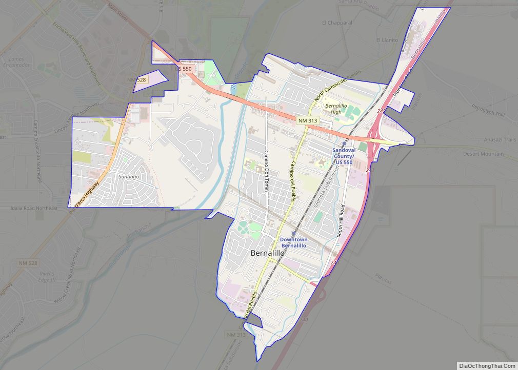
Rio Rancho is bordered by Albuquerque to the south, the Santa Ana Pueblo to the north, with the town of Bernalillo and village of Corrales to the east.
According to the United States Census Bureau, the city has a total area of 103.7 sq mi (268.5 km), of which 103.4 square miles (267.7 km) is land and 0.31 sq mi (0.8 km), or 0.31%, is covered by water.
Climate
Rio Rancho is in an arid climate due to its location in the rain shadow of the Sandia Mountains to the east and the Continental Divide to the west. Rio Rancho receives 8.90 inches of precipitation annually on average. The western portion of the city receives slightly more rain and snowfall due to its higher elevation than that of the more densely developed eastern portion of Rio Rancho.
See also
Map of New Mexico State and its subdivision: Map of other states:- Alabama
- Alaska
- Arizona
- Arkansas
- California
- Colorado
- Connecticut
- Delaware
- District of Columbia
- Florida
- Georgia
- Hawaii
- Idaho
- Illinois
- Indiana
- Iowa
- Kansas
- Kentucky
- Louisiana
- Maine
- Maryland
- Massachusetts
- Michigan
- Minnesota
- Mississippi
- Missouri
- Montana
- Nebraska
- Nevada
- New Hampshire
- New Jersey
- New Mexico
- New York
- North Carolina
- North Dakota
- Ohio
- Oklahoma
- Oregon
- Pennsylvania
- Rhode Island
- South Carolina
- South Dakota
- Tennessee
- Texas
- Utah
- Vermont
- Virginia
- Washington
- West Virginia
- Wisconsin
- Wyoming