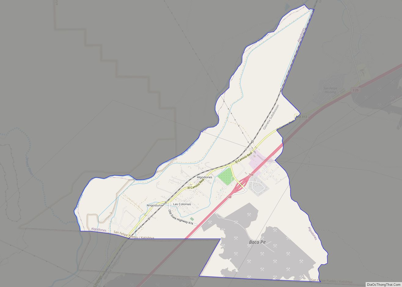
Algodones is a census-designated place (CDP) in Sandoval County, New Mexico, United States. The population was 814 at the 2010 census. It is part of the Albuquerque Metropolitan Statistical Area.
| Name: | Algodones CDP |
|---|---|
| LSAD Code: | 57 |
| LSAD Description: | CDP (suffix) |
| State: | New Mexico |
| County: | Sandoval County |
| Elevation: | 5,112 ft (1,558 m) |
| Total Area: | 7.41 sq mi (19.20 km²) |
| Land Area: | 7.31 sq mi (18.93 km²) |
| Water Area: | 0.11 sq mi (0.28 km²) |
| Total Population: | 720 |
| Population Density: | 98.54/sq mi (38.04/km²) |
| ZIP code: | 87001 |
| Area code: | 505 |
| FIPS code: | 3502210 |
| GNISfeature ID: | 0899497 |
Online Interactive Map
Click on ![]() to view map in "full screen" mode.
to view map in "full screen" mode.
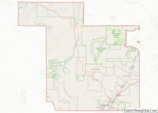
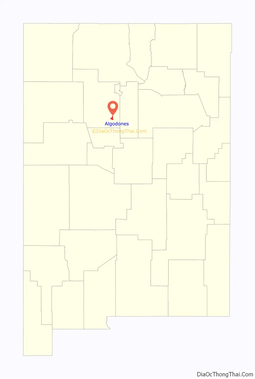
Algodones location map. Where is Algodones CDP?

History
Near the town of Algodones lies a narrow pass known as La Angostura. The pass was important for trade along the Camino Real, and was the site of fortifications dating from the early 17th century to control movemnt along the road. The village of Algodones developed in the 18th century when continuing efforts by the Spanish settlers to control the nearby Rio Grande river fords and pass through the valley.
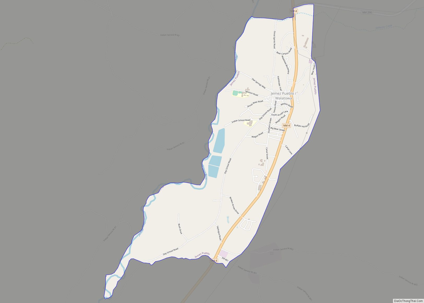
Algodones Road Map

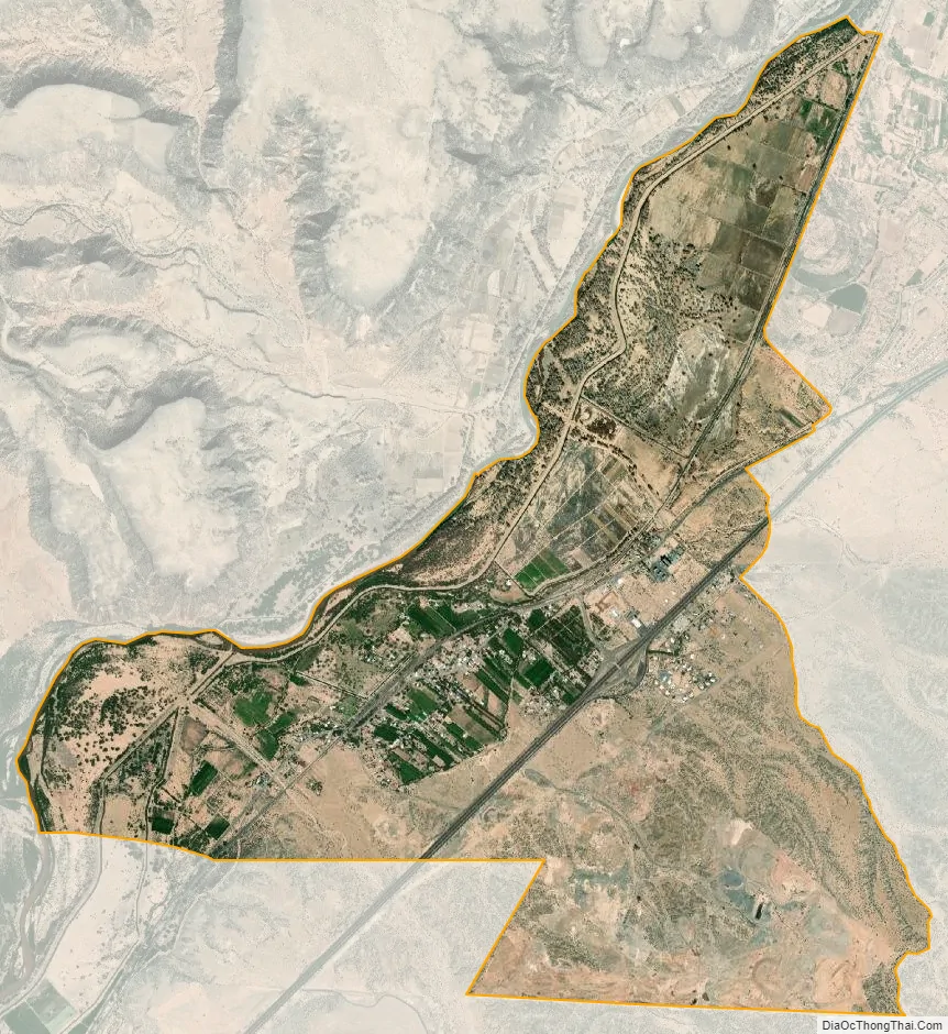
Algodones city Satellite Map
Geography
Algodones lies in the Rio Grande Valley in the northeast of the Albuquerque Basin on the east bank of the Rio Grande. According to the United States Census Bureau, the CDP has a total area of 7.3 square miles (19 km), of which 7.2 square miles (19 km) is land and 0.1 square miles (0.26 km) (1.37%) is water.
See also
Map of New Mexico State and its subdivision: Map of other states:- Alabama
- Alaska
- Arizona
- Arkansas
- California
- Colorado
- Connecticut
- Delaware
- District of Columbia
- Florida
- Georgia
- Hawaii
- Idaho
- Illinois
- Indiana
- Iowa
- Kansas
- Kentucky
- Louisiana
- Maine
- Maryland
- Massachusetts
- Michigan
- Minnesota
- Mississippi
- Missouri
- Montana
- Nebraska
- Nevada
- New Hampshire
- New Jersey
- New Mexico
- New York
- North Carolina
- North Dakota
- Ohio
- Oklahoma
- Oregon
- Pennsylvania
- Rhode Island
- South Carolina
- South Dakota
- Tennessee
- Texas
- Utah
- Vermont
- Virginia
- Washington
- West Virginia
- Wisconsin
- Wyoming