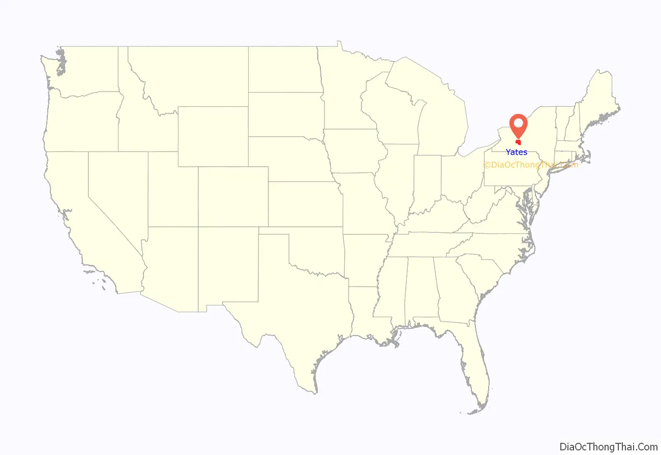
Yates County is a county in the U.S. state of New York. As of the 2020 Census, the population was 24,774, making it the third-least populous county in New York. The county seat is Penn Yan. The name is in honor of Joseph C. Yates, who as Governor of New York signed the act establishing the county.
Yates County is included in the Rochester, NY Metropolitan Statistical Area.
| Name: | Yates County |
|---|---|
| FIPS code: | 36-123 |
| State: | New York |
| Founded: | February 5, 1823 |
| Named for: | Joseph C. Yates |
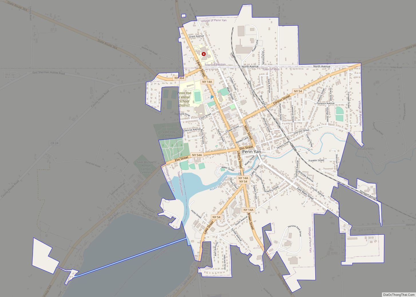
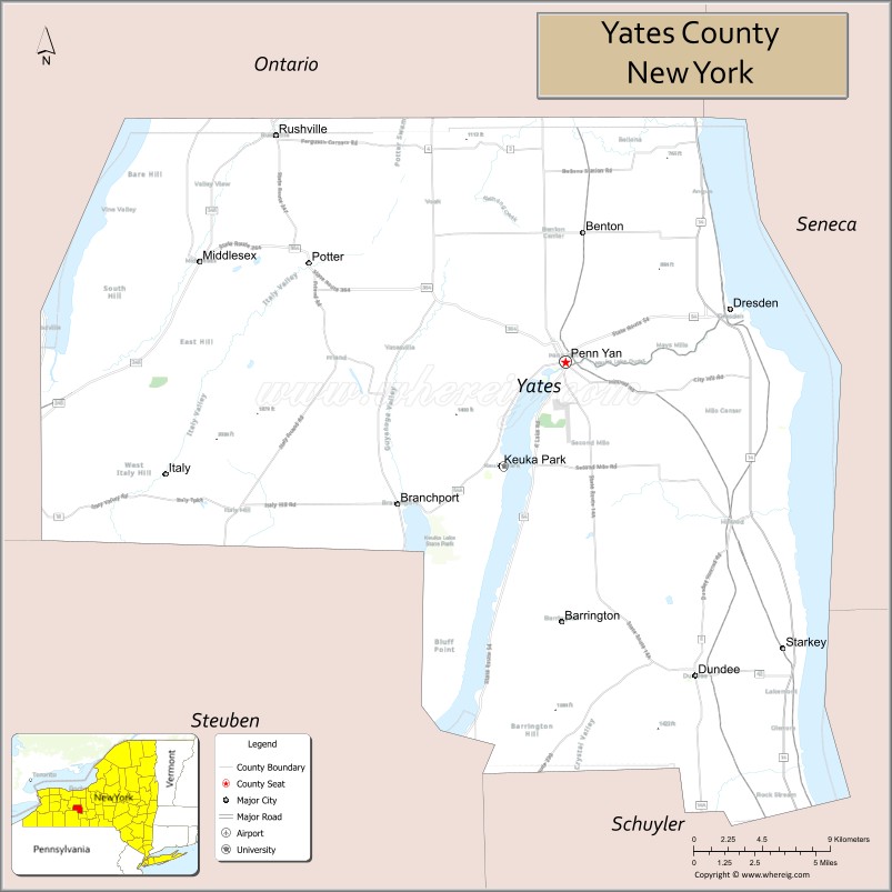
| Seat: | Penn Yan |
| Total Area: | 376 sq mi (970 km²) |
| Land Area: | 338 sq mi (880 km²) |
| Total Population: | 24,774 |
| Population Density: | 73.3/sq mi (28.3/km²) |
| Time zone: | UTC−5 (Eastern) |
| Summer Time Zone (DST): | UTC−4 (EDT) |
| Website: | www.yatescounty.org |
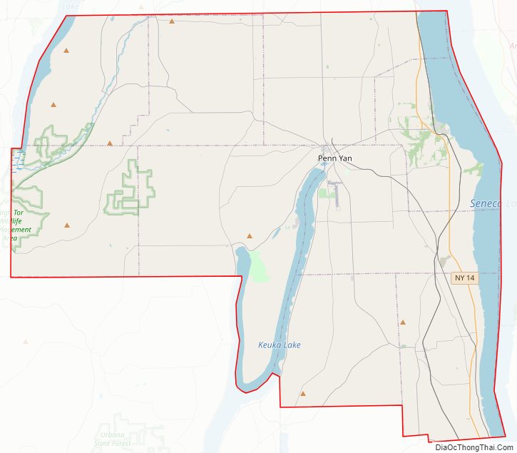
Yates County location map. Where is Yates County?
History
When counties were established in New York State in 1683, the present Yates County was part of Albany County. This was an enormous county, including the northern part of New York State as well as all of the present State of Vermont and, in theory, extending westward to the Pacific Ocean. This county was reduced in size on July 3, 1766, by the creation of Cumberland County, and again on March 16, 1770, by the creation of Gloucester County, both containing territory now in Vermont.
On March 12, 1772, what was left of Albany County was split into three parts, one remaining under the name Albany County. One of the other pieces, Tryon County, contained the western portion (and thus, since no western boundary was specified, theoretically still extended west to the Pacific). The eastern boundary of Tryon County was approximately five miles west of the present city of Schenectady, and the county included the western part of the Adirondack Mountains and the area west of the West Branch of the Delaware River. The area then designated as Tryon County now includes 37 counties of New York State. The county was named for William Tryon, colonial governor of New York.
In the years prior to 1776, most of the Loyalists in Tryon County fled to Canada. In 1784, following the peace treaty that ended the American Revolutionary War, the name of Tryon County was changed to honor the general, Richard Montgomery, who had captured several places in Canada and died attempting to capture the city of Quebec, replacing the name of the hated British governor.
On January 27, 1789, 10,480 square miles (27,140 km) of Montgomery County was split off to create Ontario County, including the lands of the present Allegany, Cattaraugus, Chautauqua, Erie, Genesee, Livingston, Monroe, Niagara, Orleans, Steuben, Wyoming, and Yates counties, and part of Schuyler and Wayne counties.
On March 18, 1796, 1,800 square miles (4,700 km) of Ontario County was partitioned to form Steuben County.
On April 3, 1801, Ontario County exchanged land with Cayuga County, and lost 190 square miles (490 km) as a result.
On March 30, 1802, Ontario County lost 6,540 square miles (16,940 km) of land through the partition of Genesee County, including the present Allegany, Cattaraugus, Chautauqua, Erie, Niagara, Orleans and Wyoming counties and parts of Livingston and Monroe counties.
In 1821, Ontario County was reduced in size by combining portions of Genesee and Ontario counties to create Livingston and Monroe counties.
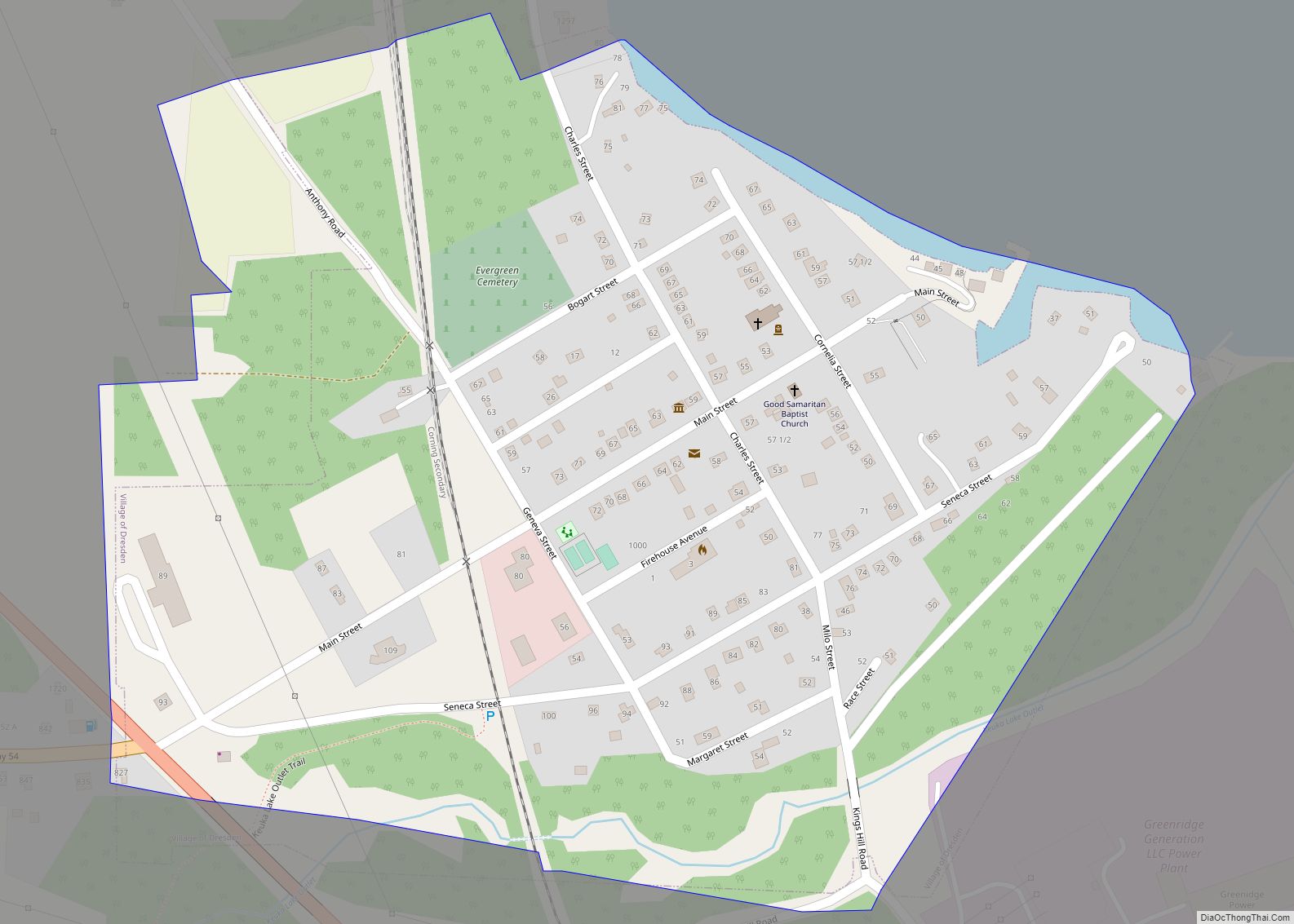
On February 5, 1823, Yates County was formed from 310 square miles (800 km) of Ontario County, including the area that included Vine Valley, Middlesex, Penn Yan, and Dresden, New York.
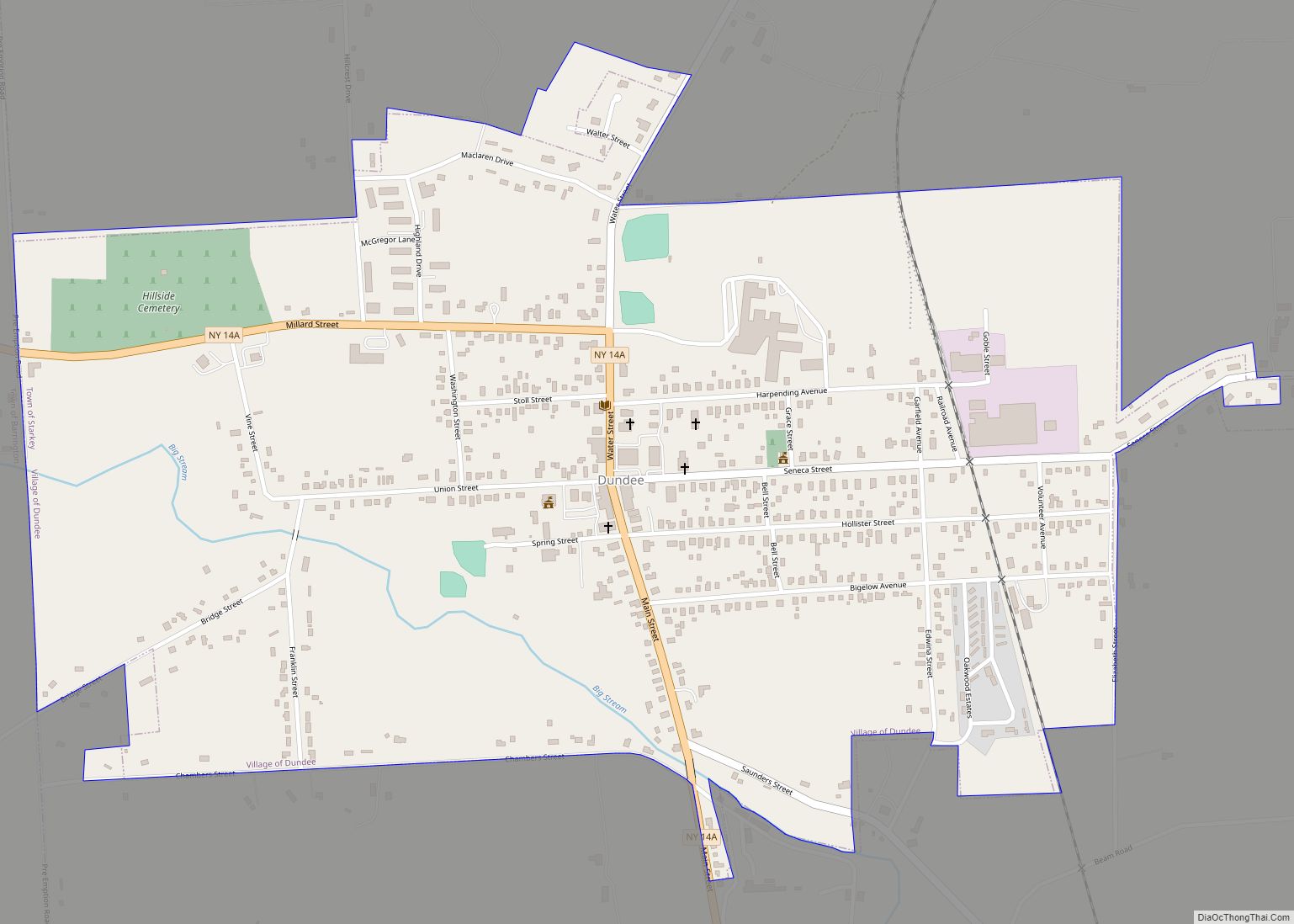
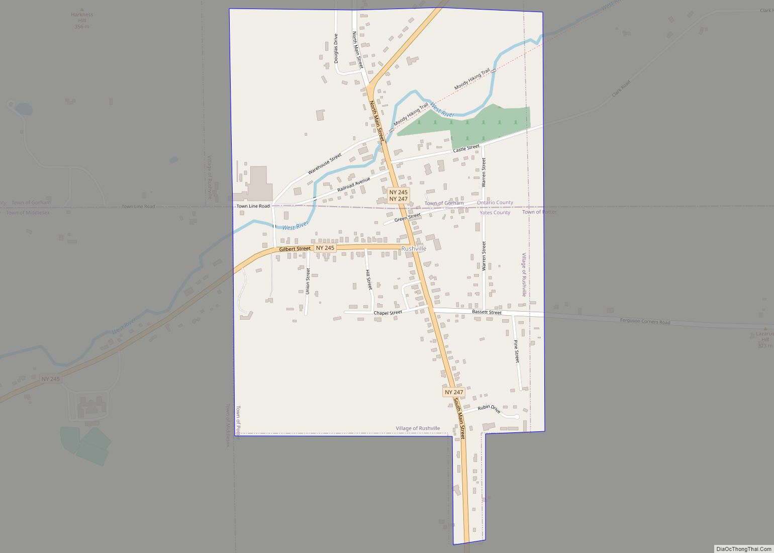
On January 1, 1826, 60 square miles (160 km) of Steuben County was partitioned and added to Yates, which included Starkey, Dundee, and Lakemont, New York.
On April 15, 1828, 10 square miles (26 km) was partitioned from Yates, and passed to Seneca and Tompkins counties, mostly in the forest.
On March 17, 1860, Ontario County was authorized to gain land from Yates, but it was never put into effect.
On April 18, 1946, Yates gained 10 square miles (26 km) from Schuyler and Seneca counties, which produced the current borders of Yates County.
In 1974 a new Mennonite settlement was started in Yates County. It grew quickly and steadily and with a population of more than 3,000 in 2015 it was almost as large as the Lancaster County, Pennsylvania settlement.
Yates County Road Map
Geography
According to the U.S. Census Bureau, the county has a total area of 376 square miles (970 km), of which 338 square miles (880 km) is land and 38 square miles (98 km) (10%) is water.
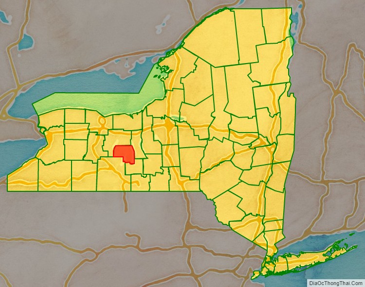
Yates County is in the western part of New York State, northwest of Ithaca and southeast of Rochester. It is in the Finger Lakes Region.
Adjacent counties
- Ontario County – northwest
- Seneca County – east
- Schuyler County – south
- Steuben County – southwest
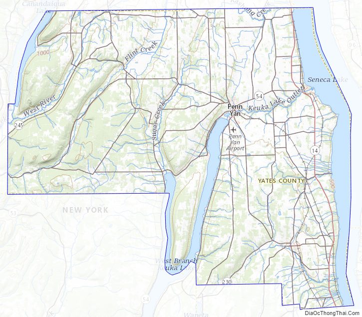
Yates County Topographic Map
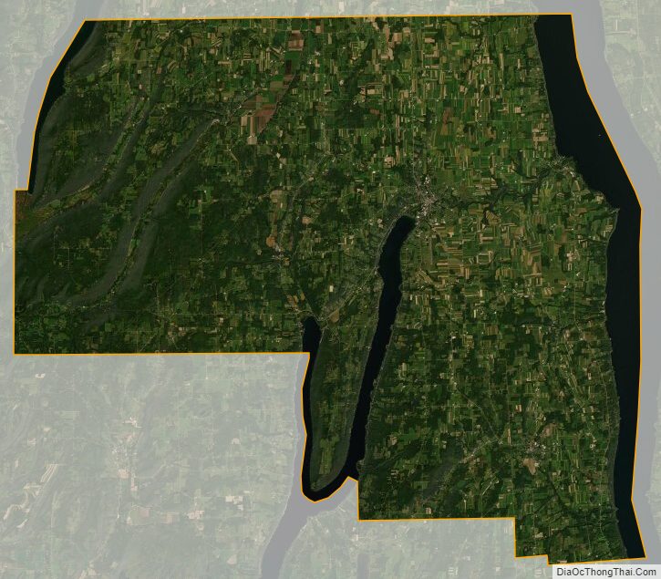
Yates County Satellite Map
Yates County Outline Map