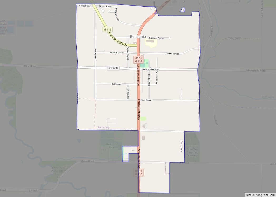
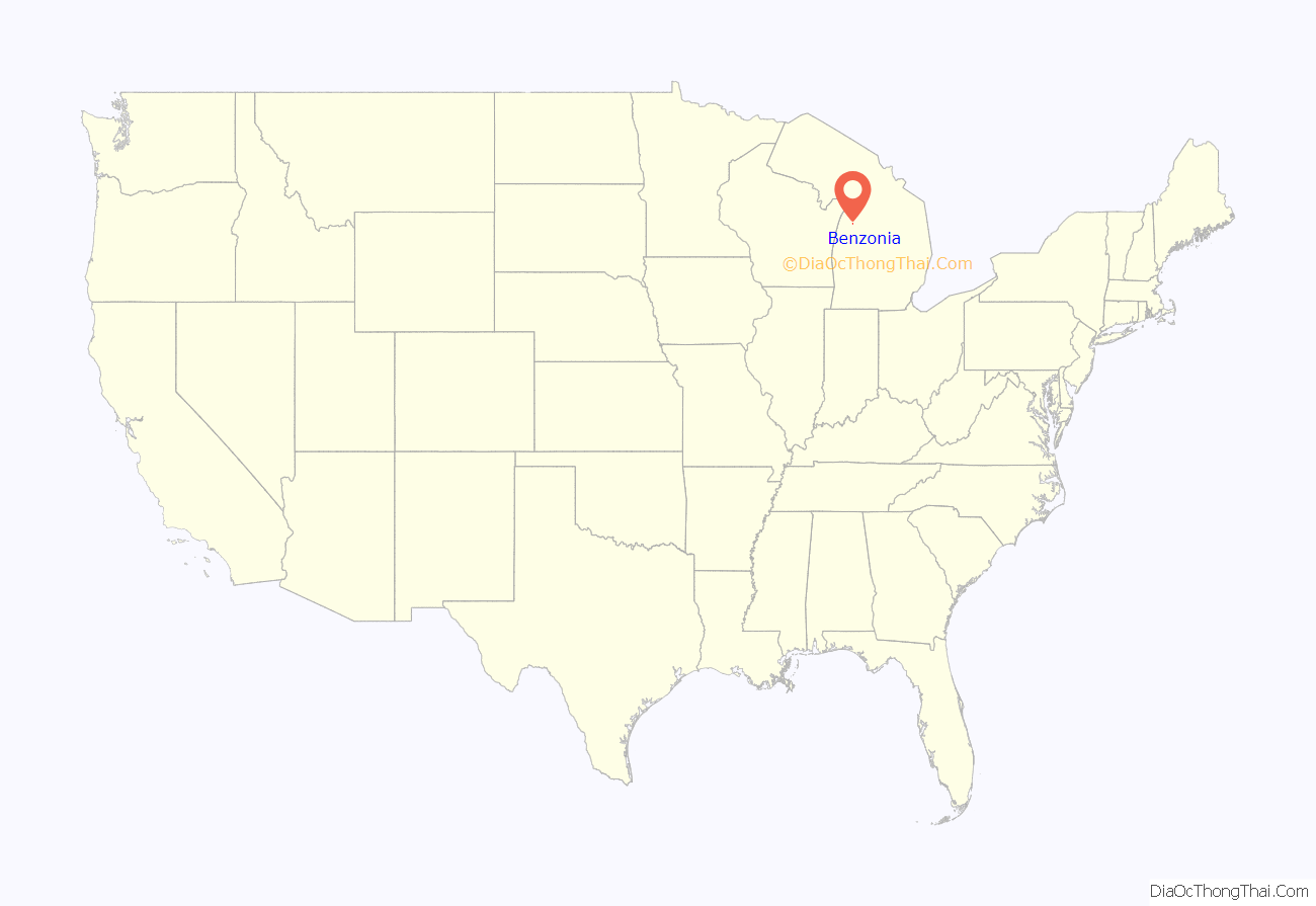
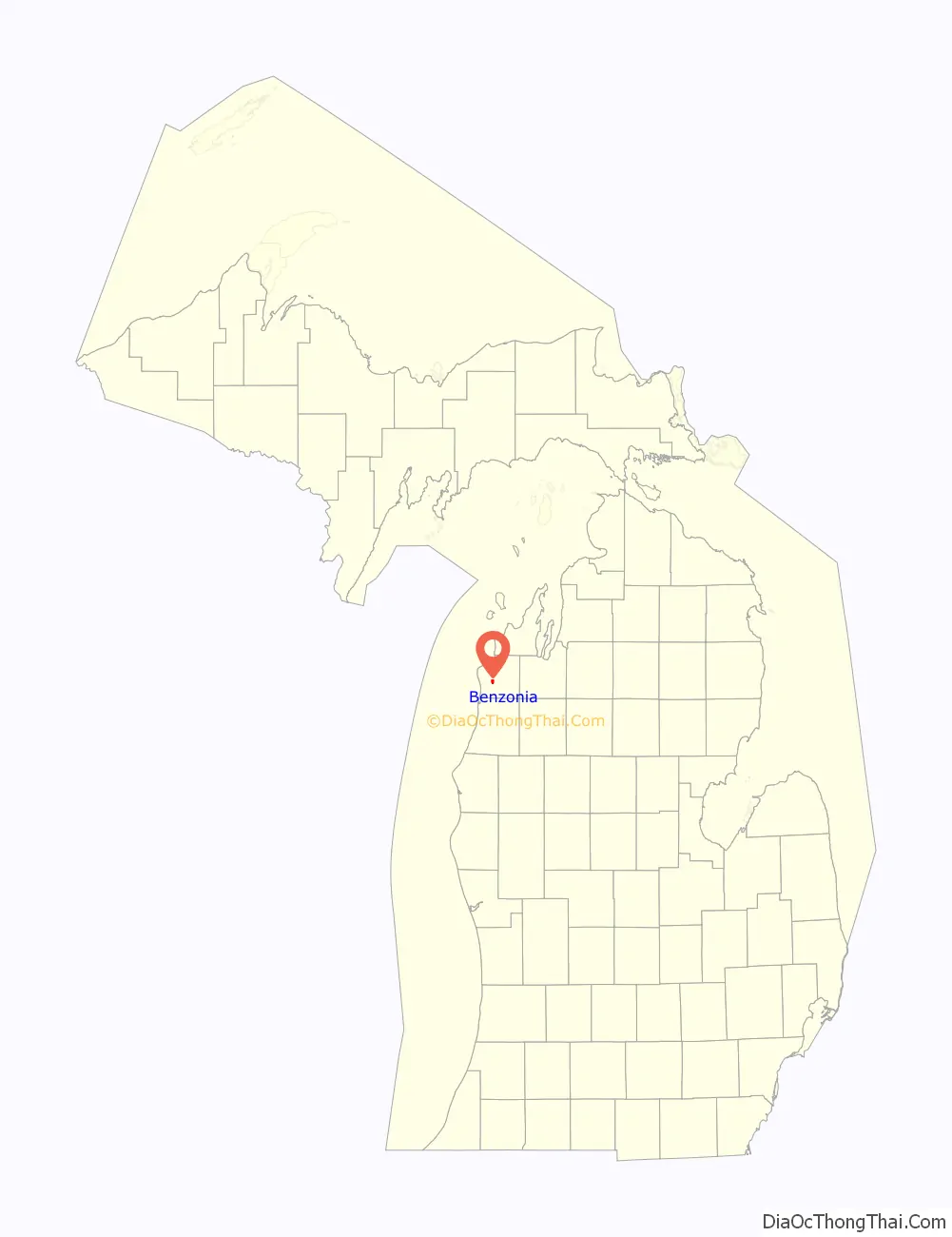
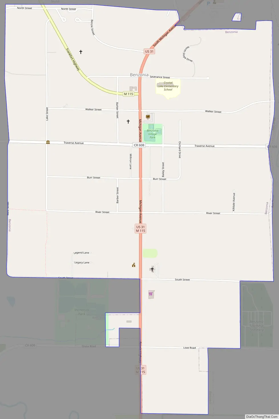
Benzonia (/bɛnˈzoʊniə/ ben-ZOH-nee-ə) is a village in Benzie County in the U.S. state of Michigan. The population was 551 at the 2020 census, up from 497 at the 2010 census. The village is located within Benzonia Township at the southeast end of Crystal Lake on U.S. Highway 31 at the junction with M-115 west.
| Name: | Benzonia village |
|---|---|
| LSAD Code: | 47 |
| LSAD Description: | village (suffix) |
| State: | Michigan |
| County: | Benzie County |
| Elevation: | 817 ft (249 m) |
| Total Area: | 1.13 sq mi (2.93 km²) |
| Land Area: | 1.13 sq mi (2.93 km²) |
| Water Area: | 0.00 sq mi (0.00 km²) |
| Total Population: | 551 |
| Population Density: | 487.18/sq mi (188.09/km²) |
| Area code: | 231 |
| FIPS code: | 2607580 |
| GNISfeature ID: | 2398099 |
| Website: | https://www.villagebenzonia.com/ |
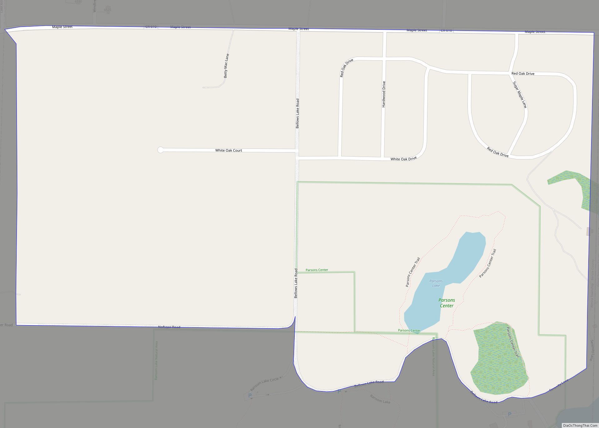
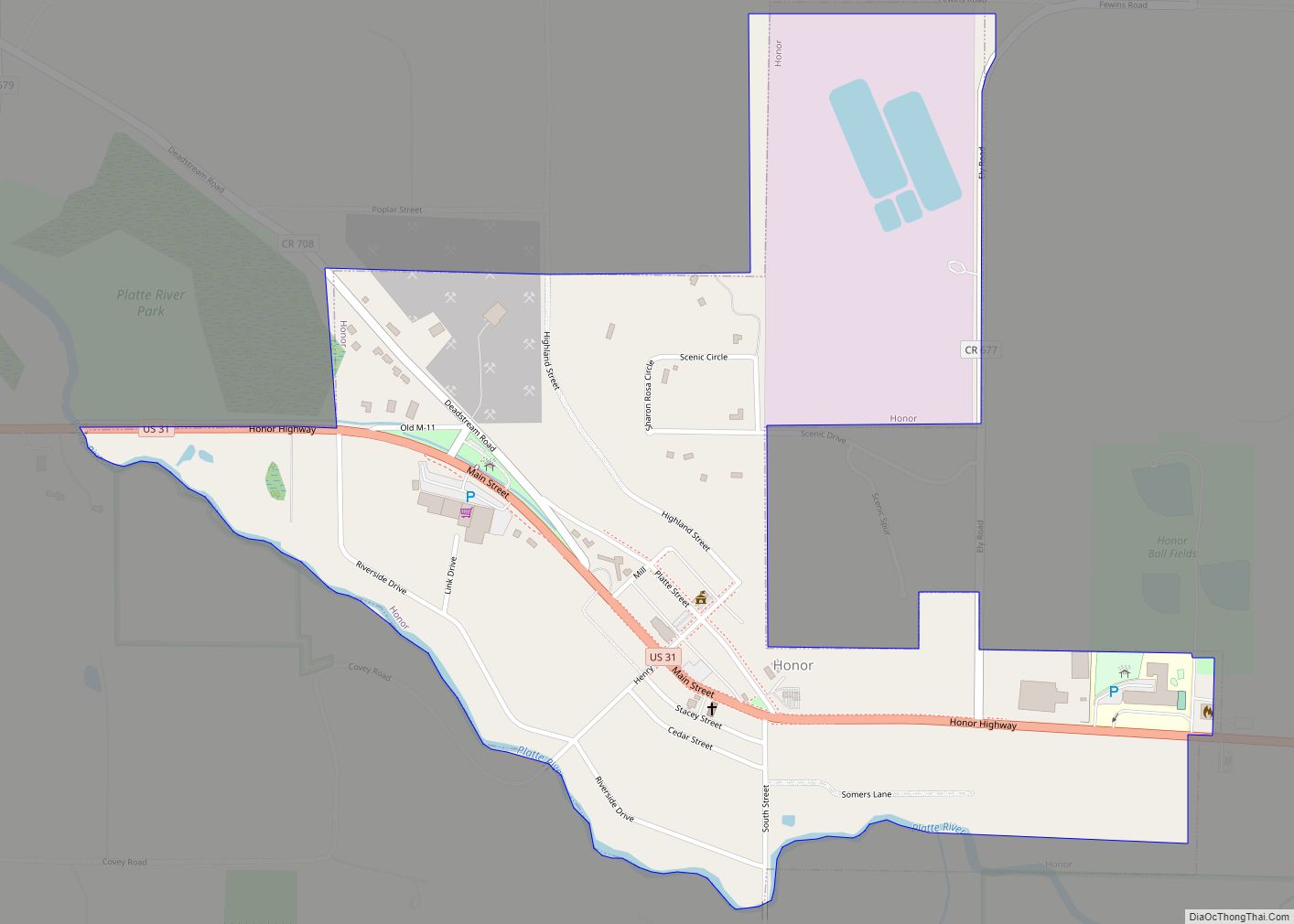
Online Interactive Map
Click on ![]() to view map in "full screen" mode.
to view map in "full screen" mode.
Benzonia location map. Where is Benzonia village?
History
Benzonia began in 1858 as an educational Christian colony on the model of Oberlin, Ohio. Its founding was under the leadership of Charles E. Bailey. The village, which was once the county seat, was incorporated in 1891.
In 1863 Grand Traverse College was chartered and began here. It was renamed Benzonia College in 1891. In 1900 the college was changed to a preparatory school named Benzonia Academy. The academy continued to function until 1918 when it was closed. In his book Waiting for the Morning Train, historian Bruce Catton captured local history and documented his perspective of growing up in Benzonia as his father was an instructor at the academy.
Benzonia Road Map
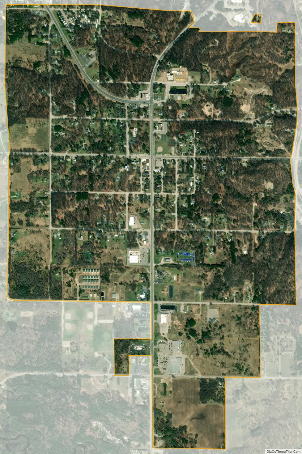
Benzonia city Satellite Map
Geography
According to the United States Census Bureau, the village has a total area of 1.13 square miles (2.93 km), all land.
See also
Map of Michigan State and its subdivision:- Alcona
- Alger
- Allegan
- Alpena
- Antrim
- Arenac
- Baraga
- Barry
- Bay
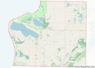
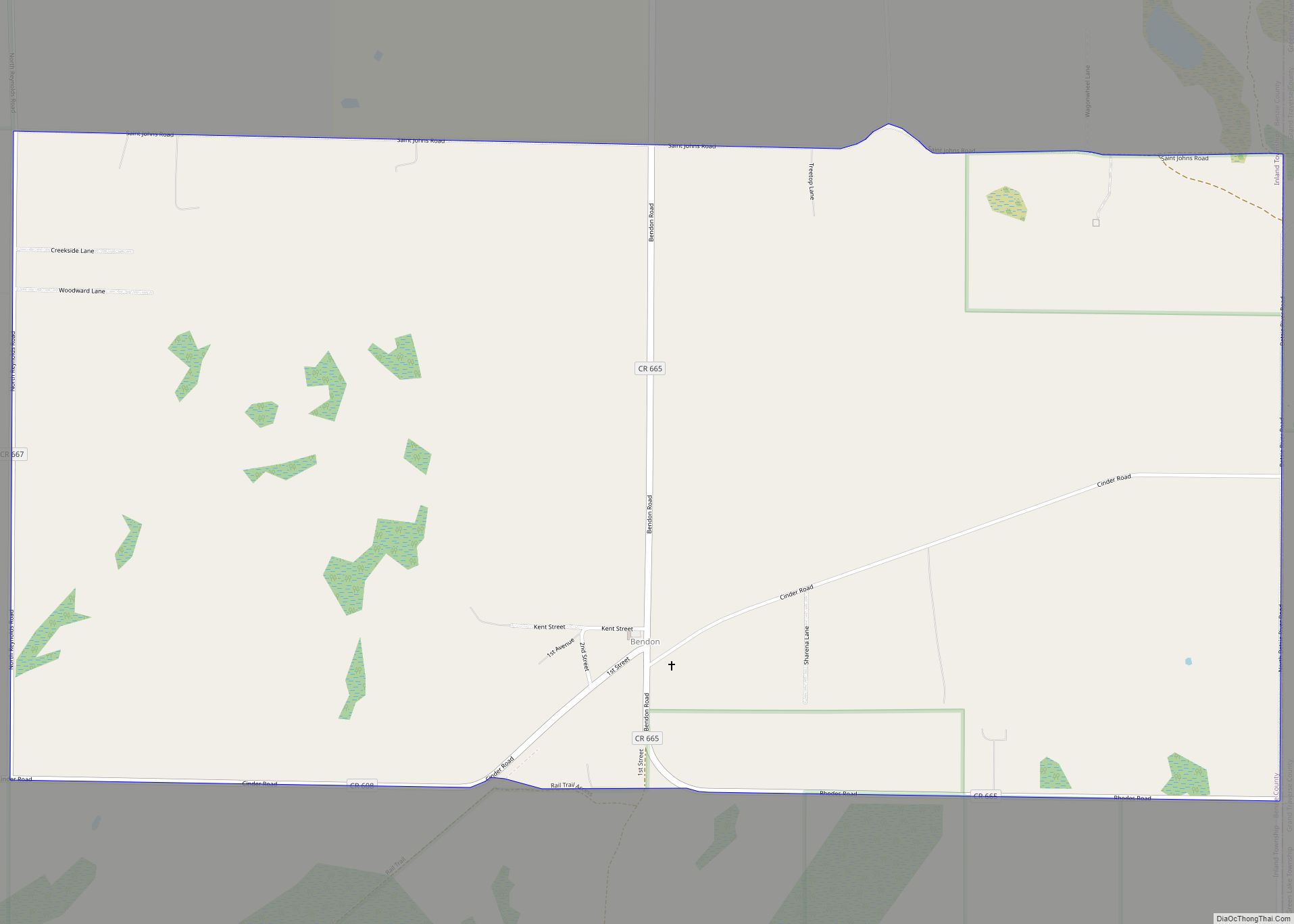
- Benzie
- Berrien
- Branch
- Calhoun
- Cass
- Charlevoix
- Cheboygan
- Chippewa
- Clare
- Clinton
- Crawford
- Delta
- Dickinson
- Eaton
- Emmet
- Genesee
- Gladwin
- Gogebic
- Grand Traverse
- Gratiot
- Hillsdale
- Houghton
- Huron
- Ingham
- Ionia
- Iosco
- Iron
- Isabella
- Jackson
- Kalamazoo
- Kalkaska
- Kent
- Keweenaw
- Lake
- Lake Hurron
- Lake Michigan
- Lake St. Clair
- Lake Superior
- Lapeer
- Leelanau
- Lenawee
- Livingston
- Luce
- Mackinac
- Macomb
- Manistee
- Marquette
- Mason
- Mecosta
- Menominee
- Midland
- Missaukee
- Monroe
- Montcalm
- Montmorency
- Muskegon
- Newaygo
- Oakland
- Oceana
- Ogemaw
- Ontonagon
- Osceola
- Oscoda
- Otsego
- Ottawa
- Presque Isle
- Roscommon
- Saginaw
- Saint Clair
- Saint Joseph
- Sanilac
- Schoolcraft
- Shiawassee
- Tuscola
- Van Buren
- Washtenaw
- Wayne
- Wexford
- Alabama
- Alaska
- Arizona
- Arkansas
- California
- Colorado
- Connecticut
- Delaware
- District of Columbia
- Florida
- Georgia
- Hawaii
- Idaho
- Illinois
- Indiana
- Iowa
- Kansas
- Kentucky
- Louisiana
- Maine
- Maryland
- Massachusetts
- Michigan
- Minnesota
- Mississippi
- Missouri
- Montana
- Nebraska
- Nevada
- New Hampshire
- New Jersey
- New Mexico
- New York
- North Carolina
- North Dakota
- Ohio
- Oklahoma
- Oregon
- Pennsylvania
- Rhode Island
- South Carolina
- South Dakota
- Tennessee
- Texas
- Utah
- Vermont
- Virginia
- Washington
- West Virginia
- Wisconsin
- Wyoming