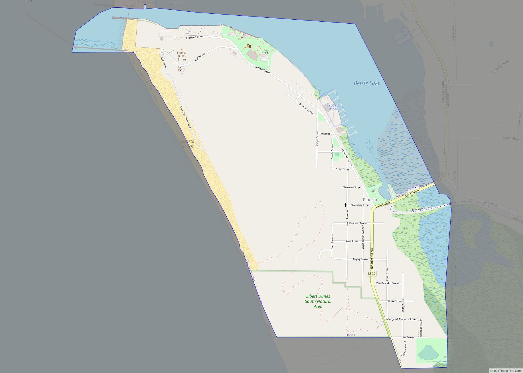
Elberta (/ˌɛlˈbɜːr.tə/ el-BER-tə) is a village in Benzie County in the U.S. state of Michigan. The population was 329 at the 2020 census. Located in Gilmore Township, Elberta overlooks Lake Michigan and lies across Betsie Lake from Frankfort. Elberta is part of Northern Michigan.
| Name: | Elberta village |
|---|---|
| LSAD Code: | 47 |
| LSAD Description: | village (suffix) |
| State: | Michigan |
| County: | Benzie County |
| Elevation: | 591 ft (180 m) |
| Total Area: | 1.01 sq mi (2.61 km²) |
| Land Area: | 0.75 sq mi (1.94 km²) |
| Water Area: | 0.26 sq mi (0.68 km²) |
| Total Population: | 329 |
| Population Density: | 439.25/sq mi (169.66/km²) |
| Area code: | 231 |
| FIPS code: | 2625180 |
| GNISfeature ID: | 0625422 |
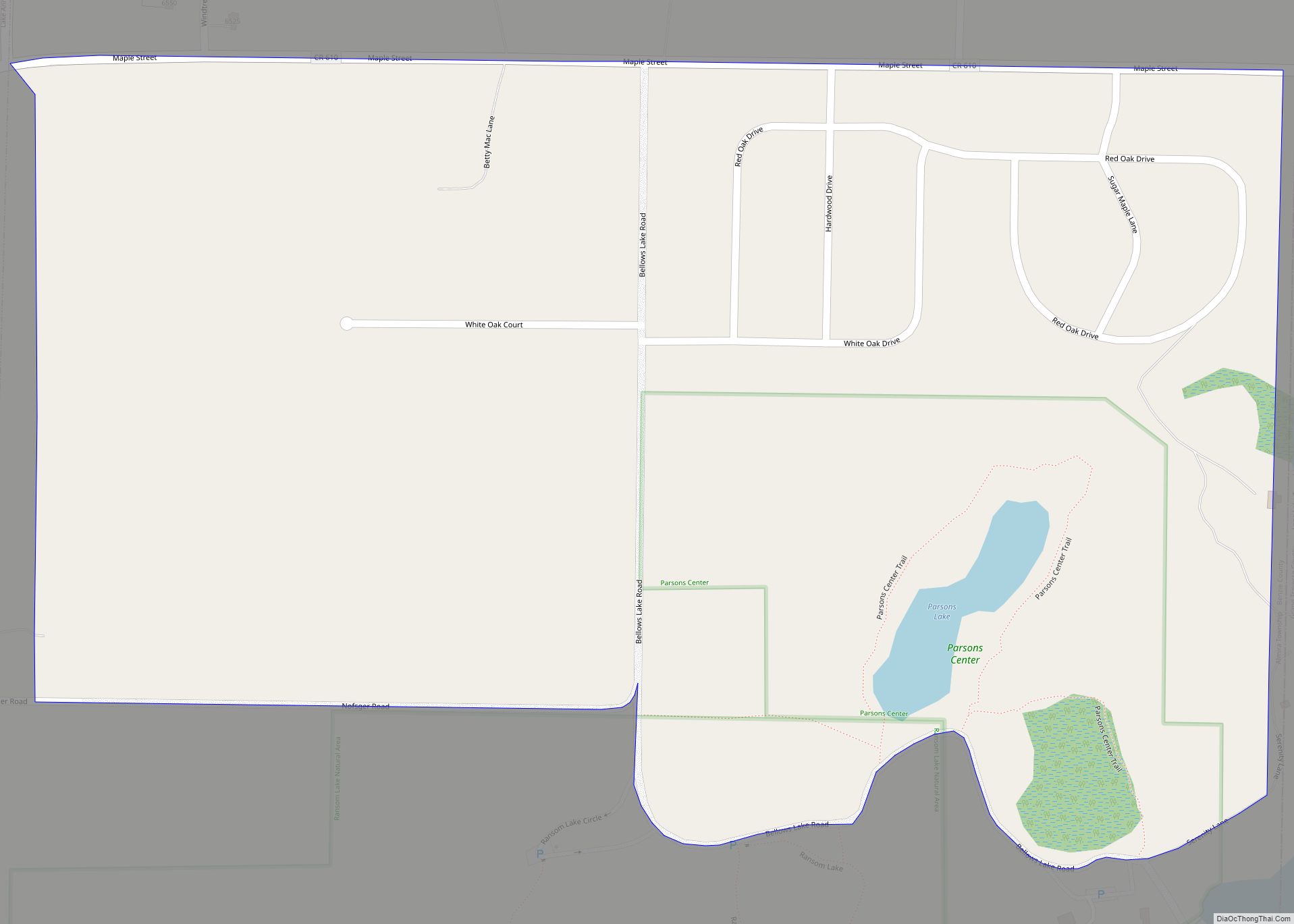
Online Interactive Map
Click on ![]() to view map in "full screen" mode.
to view map in "full screen" mode.
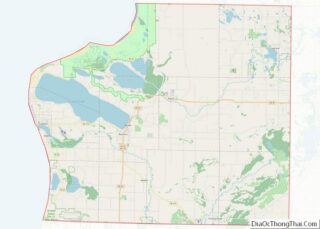
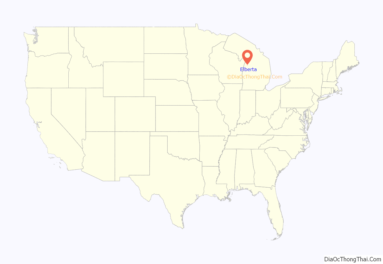
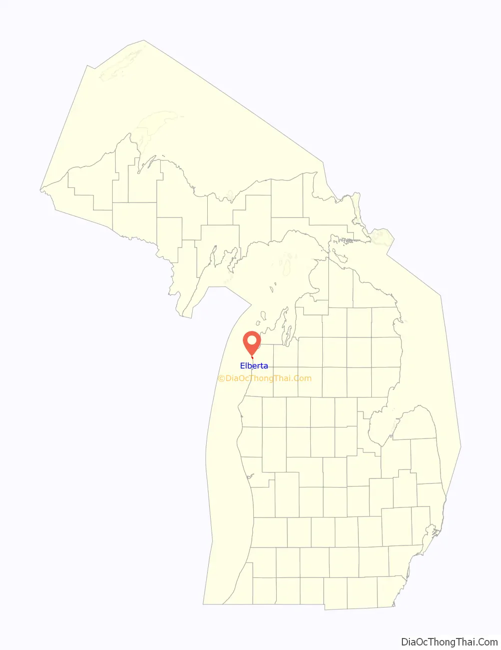
Elberta location map. Where is Elberta village?
History
Elberta was first settled in 1855 and incorporated as South Frankfort in 1894. It was renamed Elberta in 1911 for the local Elberta peach. The village’s founder is said to be George M. Cartwright.
M-168, previously one of the shortest state highways in Michigan, extended 0.95 miles (1.53 km) from a junction with M-22 in downtown Elberta to the former Ann Arbor Railroad ferry docks in Elberta. This highway was decommissioned in 2012.
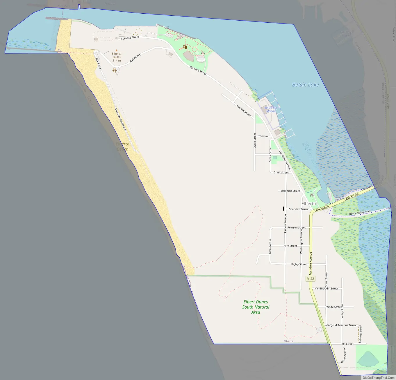
Elberta Road Map
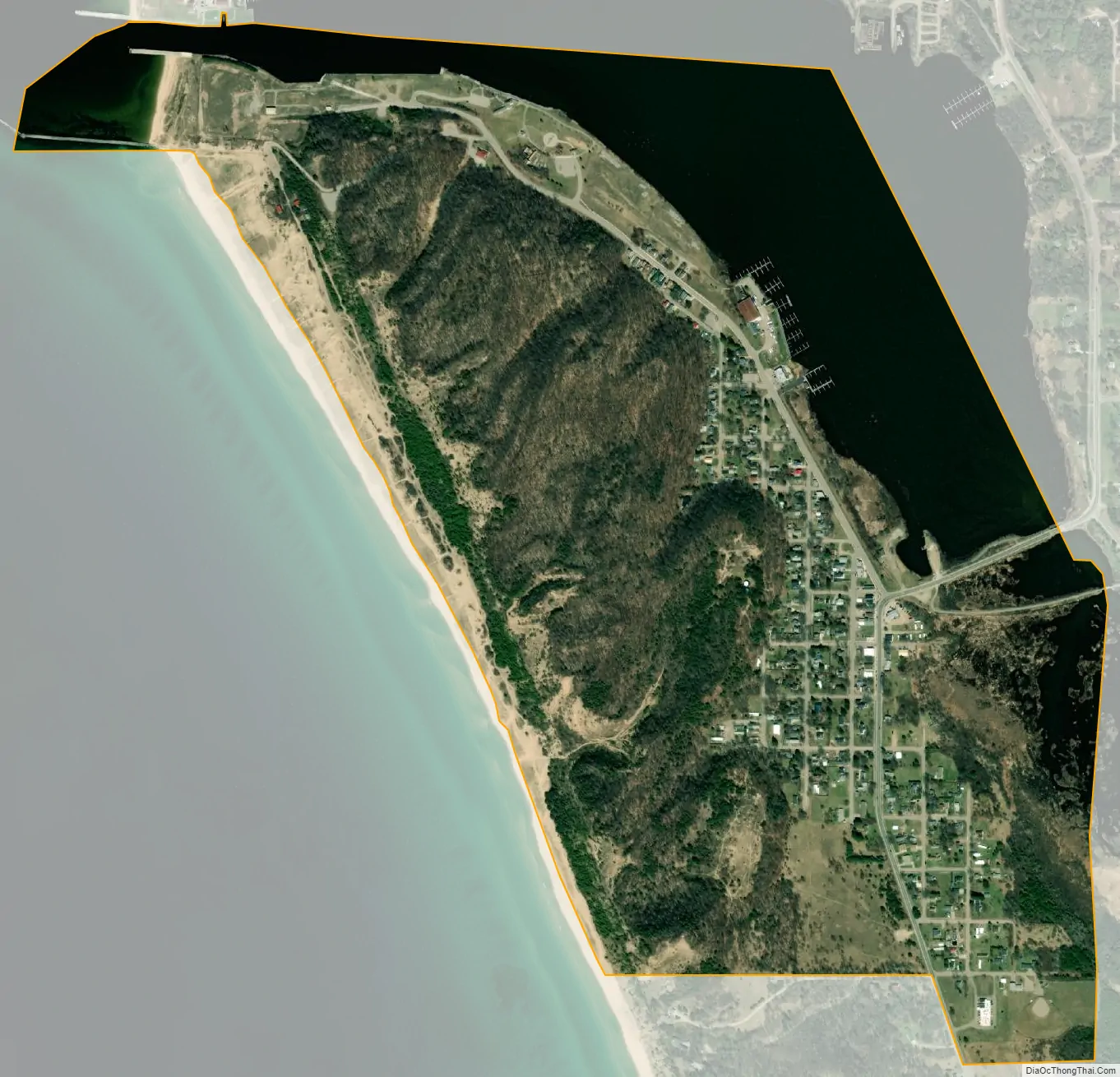
Elberta city Satellite Map
Geography
- According to the United States Census Bureau, the village has a total area of 0.99 square miles (2.56 km), of which 0.74 square miles (1.92 km) is land and 0.25 square miles (0.65 km) is water. The downtown is at 44°37′10″N 86°13′35″W / 44.61944°N 86.22639°W / 44.61944; -86.22639.
- Elberta is part of Northern Michigan.
Major highways
- M-22 is a north–south highway that runs through the village, paralleling the coast of Lake Michigan for its length. M-22 can be used to access Frankfort.
- M-168 is a former highway that ran through the village, connecting M-22 to the former Ann Arbor Railroad ferry docks. This highway was decommissioned in 2012.
Ferry and rail transport
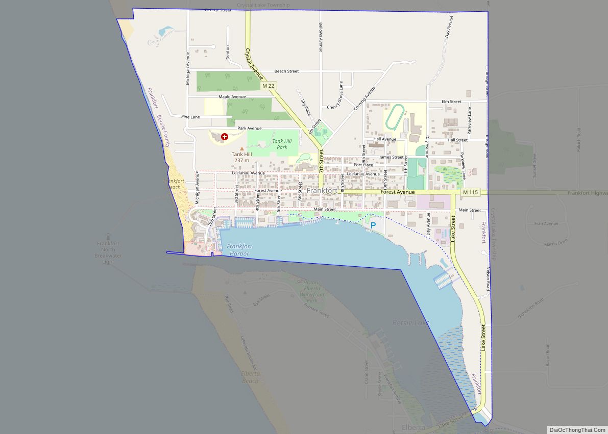
From the 1890s to July, 1950, the Ann Arbor Railroad operated launched ferries from docks at Elberta. The ferries crossed Lake Michigan to two points in Wisconsin, and a fourth ferry line went north to Gladstone, Michigan in the Michigan Upper Peninsula.
In the same period, the Ann Arbor Railroad operated a train a day south to and from Cadillac, Owosso, Durand, Ann Arbor, and then to its southern terminus in Toledo, Ohio.
See also
Map of Michigan State and its subdivision:- Alcona
- Alger
- Allegan
- Alpena
- Antrim
- Arenac
- Baraga
- Barry
- Bay
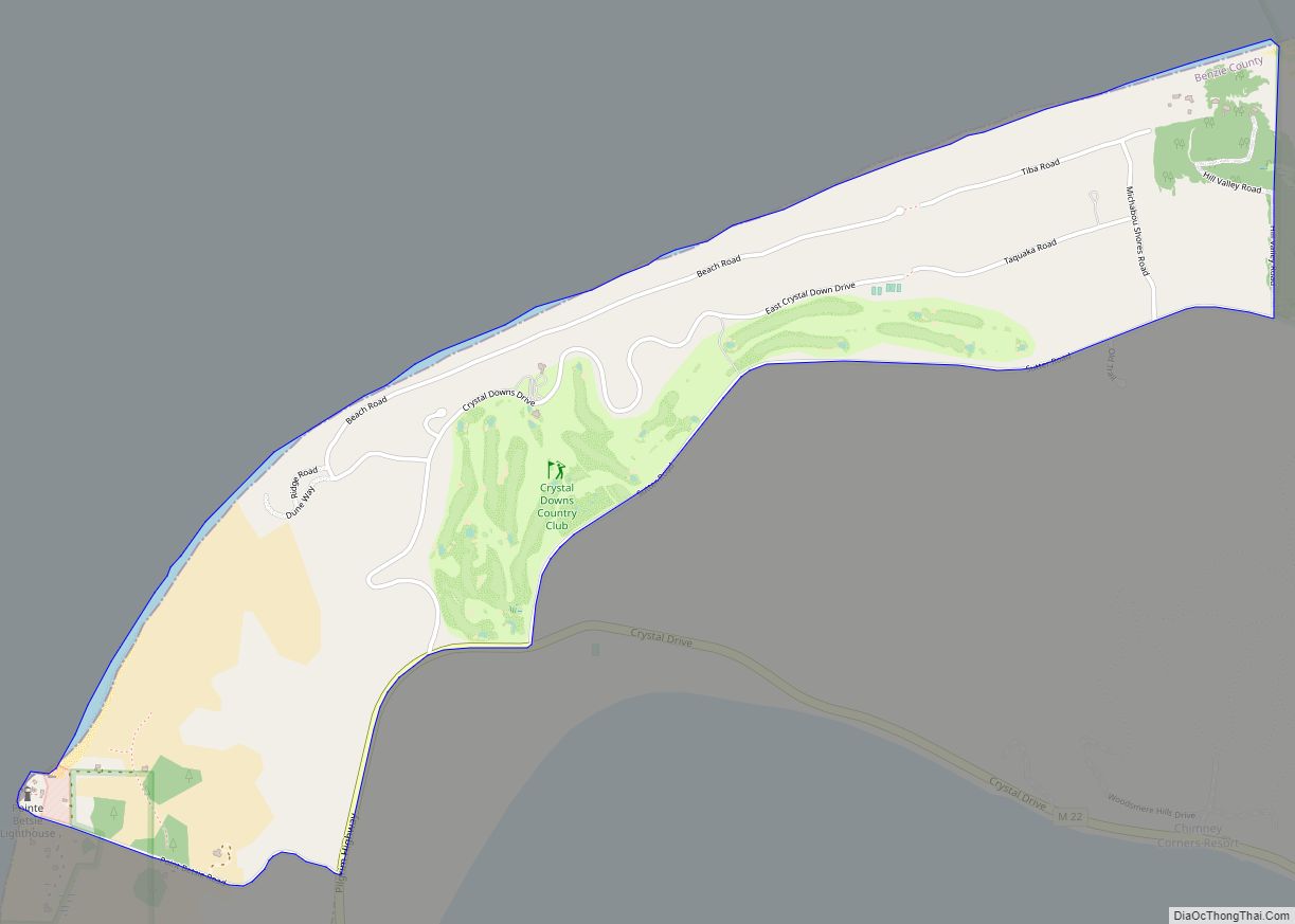
- Benzie
- Berrien
- Branch
- Calhoun
- Cass
- Charlevoix
- Cheboygan
- Chippewa
- Clare
- Clinton
- Crawford
- Delta
- Dickinson
- Eaton
- Emmet
- Genesee
- Gladwin
- Gogebic
- Grand Traverse
- Gratiot
- Hillsdale
- Houghton
- Huron
- Ingham
- Ionia
- Iosco
- Iron
- Isabella
- Jackson
- Kalamazoo
- Kalkaska
- Kent
- Keweenaw
- Lake
- Lake Hurron
- Lake Michigan
- Lake St. Clair
- Lake Superior
- Lapeer
- Leelanau
- Lenawee
- Livingston
- Luce
- Mackinac
- Macomb
- Manistee
- Marquette
- Mason
- Mecosta
- Menominee
- Midland
- Missaukee
- Monroe
- Montcalm
- Montmorency
- Muskegon
- Newaygo
- Oakland
- Oceana
- Ogemaw
- Ontonagon
- Osceola
- Oscoda
- Otsego
- Ottawa
- Presque Isle
- Roscommon
- Saginaw
- Saint Clair
- Saint Joseph
- Sanilac
- Schoolcraft
- Shiawassee
- Tuscola
- Van Buren
- Washtenaw
- Wayne
- Wexford
- Alabama
- Alaska
- Arizona
- Arkansas
- California
- Colorado
- Connecticut
- Delaware
- District of Columbia
- Florida
- Georgia
- Hawaii
- Idaho
- Illinois
- Indiana
- Iowa
- Kansas
- Kentucky
- Louisiana
- Maine
- Maryland
- Massachusetts
- Michigan
- Minnesota
- Mississippi
- Missouri
- Montana
- Nebraska
- Nevada
- New Hampshire
- New Jersey
- New Mexico
- New York
- North Carolina
- North Dakota
- Ohio
- Oklahoma
- Oregon
- Pennsylvania
- Rhode Island
- South Carolina
- South Dakota
- Tennessee
- Texas
- Utah
- Vermont
- Virginia
- Washington
- West Virginia
- Wisconsin
- Wyoming