Lake Ann is a village in northeastern Benzie County in the U.S. state of Michigan. Part of Almira Township, Lake Ann is situated 10 miles (16 km) west of Traverse City, and largely dependent upon that city. The population of Lake Ann was 273 at the 2020 census.
| Name: | Lake Ann village |
|---|---|
| LSAD Code: | 47 |
| LSAD Description: | village (suffix) |
| State: | Michigan |
| County: | Benzie County |
| Incorporated: | 1914 |
| Elevation: | 827 ft (252 m) |
| Total Area: | 0.48 sq mi (1.24 km²) |
| Land Area: | 0.45 sq mi (1.16 km²) |
| Water Area: | 0.03 sq mi (0.08 km²) |
| Total Population: | 273 |
| Population Density: | 608.02/sq mi (234.72/km²) |
| Area code: | 231 |
| FIPS code: | 2644460 |
| GNISfeature ID: | 0629963 |
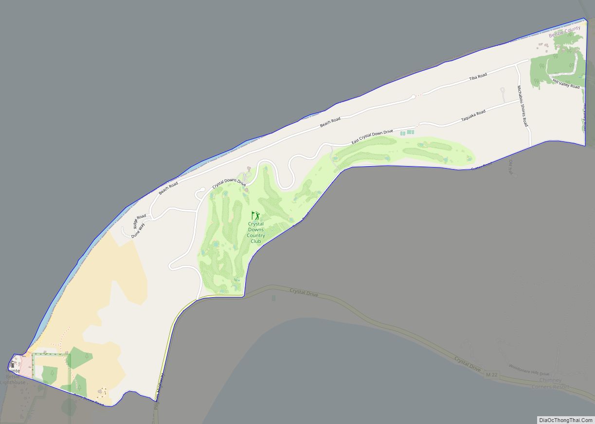
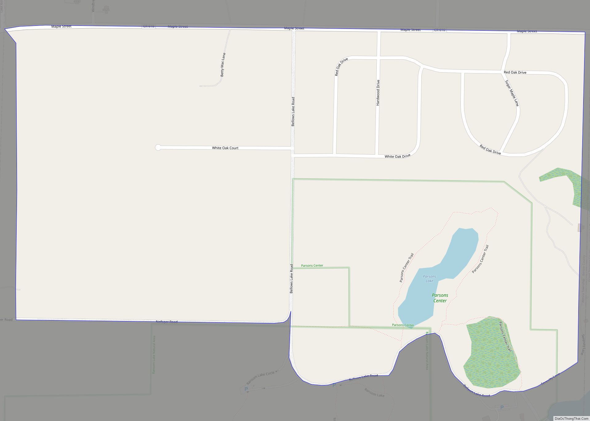
Online Interactive Map
Click on ![]() to view map in "full screen" mode.
to view map in "full screen" mode.
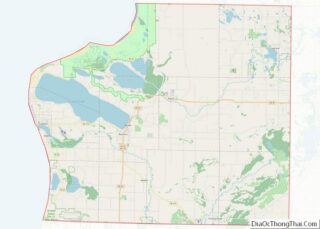
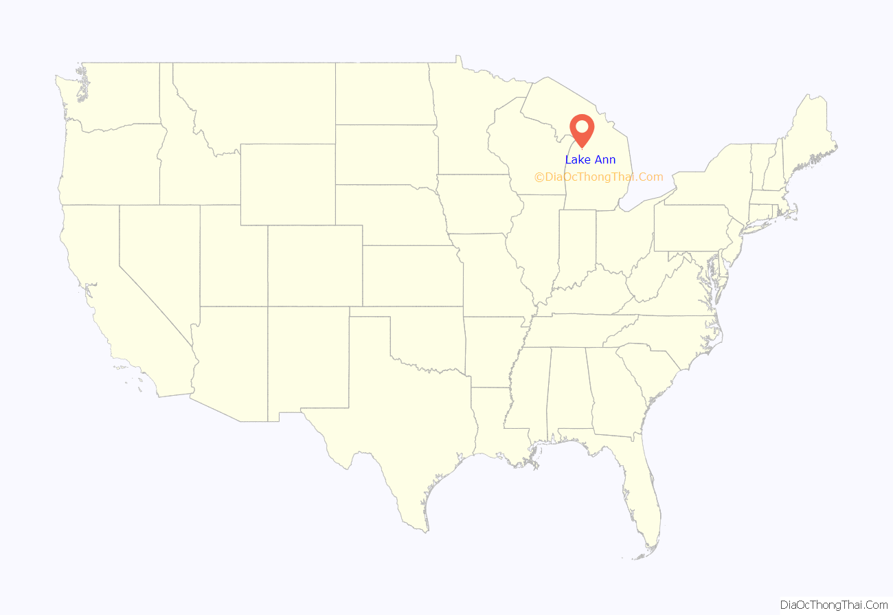
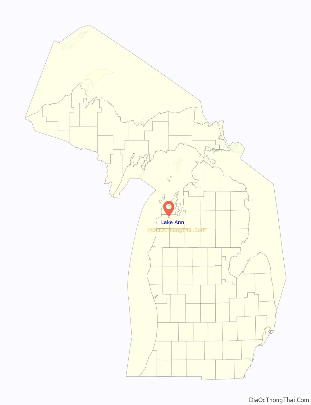
Lake Ann location map. Where is Lake Ann village?
History
The first family to settle on Lake Ann was the family of Addison P. Wheelock, who name the lake after his wife.
Lake Ann was organized in 1893, and incorporated in 1914. It was once a station on the Manistee and North-Eastern Railroad, which has since been removed.
The Lake Ann Camp, a Christian summer camp, was established just west of Lake Ann in 1948.
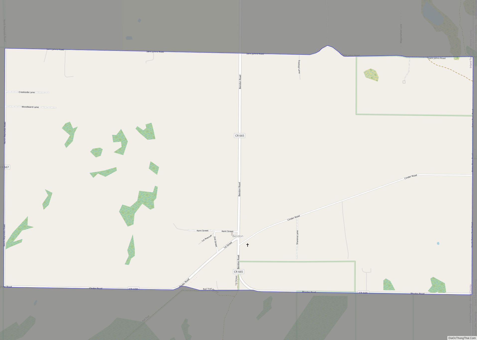
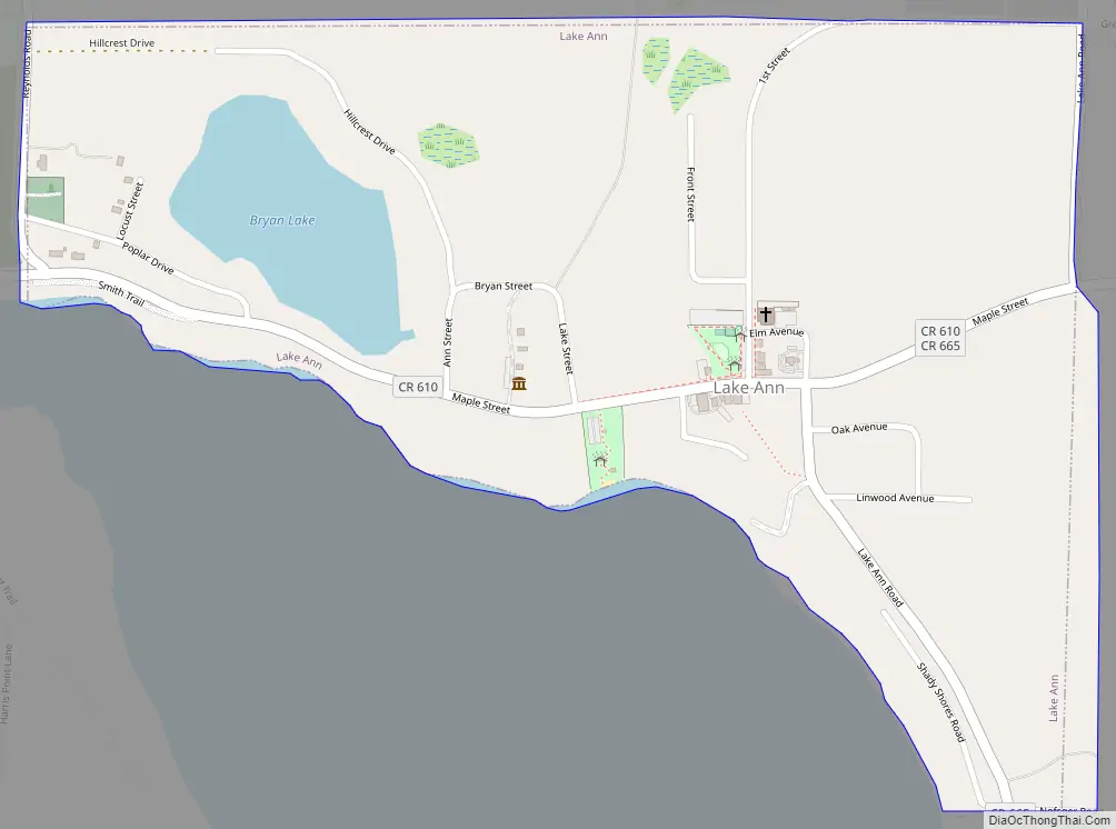
Lake Ann Road Map
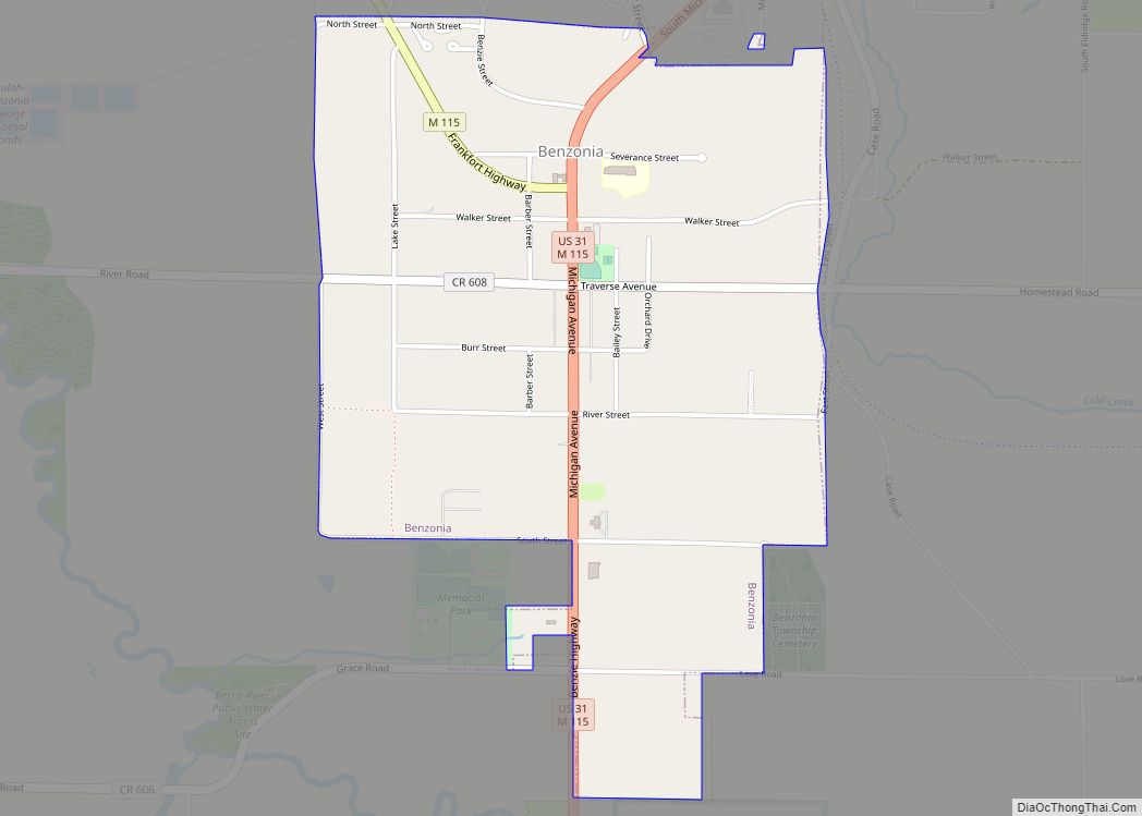
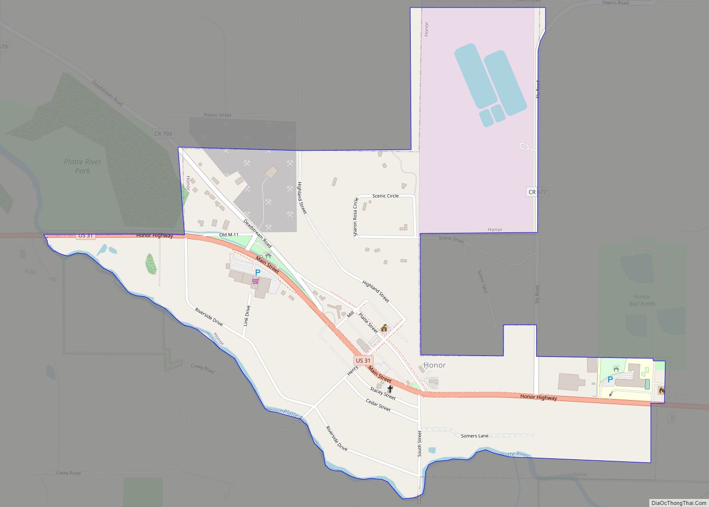
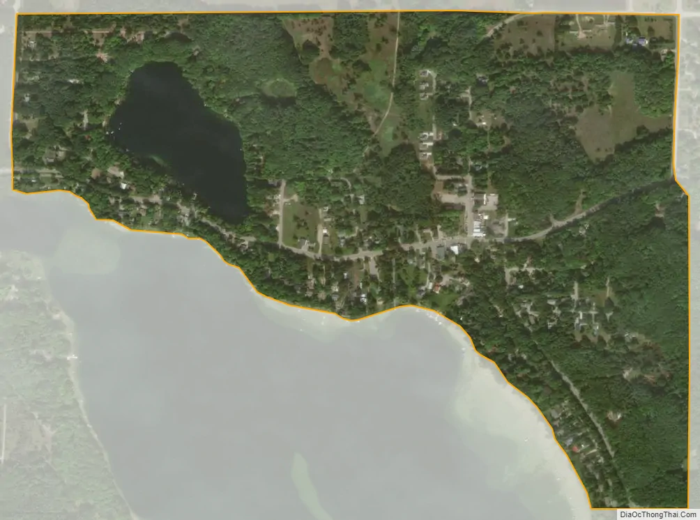
Lake Ann city Satellite Map
Geography
According to the United States Census Bureau, the village has a total area of 0.48 square miles (1.24 km), of which 0.45 square miles (1.17 km) is land and 0.03 square miles (0.08 km) is water.
Lake Ann lies upon the northern shore of the lake of the same name. Lake Ann itself is a basin that lies along the Platte River, which flows west to Lake Michigan.
Lake Ann contains no state trunkline highways, although Benzie County signs County Roads 610 (Maple Street), 665 (Lake Ann Road), and 667 (Reynolds Road) through the village.
See also
Map of Michigan State and its subdivision:- Alcona
- Alger
- Allegan
- Alpena
- Antrim
- Arenac
- Baraga
- Barry
- Bay
- Benzie
- Berrien
- Branch
- Calhoun
- Cass
- Charlevoix
- Cheboygan
- Chippewa
- Clare
- Clinton
- Crawford
- Delta
- Dickinson
- Eaton
- Emmet
- Genesee
- Gladwin
- Gogebic
- Grand Traverse
- Gratiot
- Hillsdale
- Houghton
- Huron
- Ingham
- Ionia
- Iosco
- Iron
- Isabella
- Jackson
- Kalamazoo
- Kalkaska
- Kent
- Keweenaw
- Lake
- Lake Hurron
- Lake Michigan
- Lake St. Clair
- Lake Superior
- Lapeer
- Leelanau
- Lenawee
- Livingston
- Luce
- Mackinac
- Macomb
- Manistee
- Marquette
- Mason
- Mecosta
- Menominee
- Midland
- Missaukee
- Monroe
- Montcalm
- Montmorency
- Muskegon
- Newaygo
- Oakland
- Oceana
- Ogemaw
- Ontonagon
- Osceola
- Oscoda
- Otsego
- Ottawa
- Presque Isle
- Roscommon
- Saginaw
- Saint Clair
- Saint Joseph
- Sanilac
- Schoolcraft
- Shiawassee
- Tuscola
- Van Buren
- Washtenaw
- Wayne
- Wexford
- Alabama
- Alaska
- Arizona
- Arkansas
- California
- Colorado
- Connecticut
- Delaware
- District of Columbia
- Florida
- Georgia
- Hawaii
- Idaho
- Illinois
- Indiana
- Iowa
- Kansas
- Kentucky
- Louisiana
- Maine
- Maryland
- Massachusetts
- Michigan
- Minnesota
- Mississippi
- Missouri
- Montana
- Nebraska
- Nevada
- New Hampshire
- New Jersey
- New Mexico
- New York
- North Carolina
- North Dakota
- Ohio
- Oklahoma
- Oregon
- Pennsylvania
- Rhode Island
- South Carolina
- South Dakota
- Tennessee
- Texas
- Utah
- Vermont
- Virginia
- Washington
- West Virginia
- Wisconsin
- Wyoming