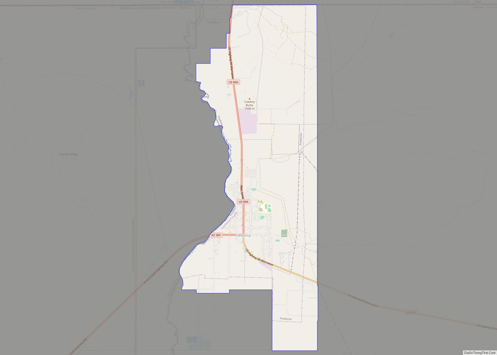
Fredonia is a town in Coconino County, Arizona, United States. As of the 2010 census it had a population of 1,314. Fredonia is the gateway to the North Rim of the Grand Canyon.
| Name: | Fredonia town |
|---|---|
| LSAD Code: | 43 |
| LSAD Description: | town (suffix) |
| State: | Arizona |
| County: | Coconino County |
| Elevation: | 4,671 ft (1,424 m) |
| Total Area: | 8.88 sq mi (22.99 km²) |
| Land Area: | 8.88 sq mi (22.99 km²) |
| Water Area: | 0.00 sq mi (0.00 km²) |
| Total Population: | 1,323 |
| Population Density: | 149.04/sq mi (57.55/km²) |
| ZIP code: | 86022, 86052 |
| Area code: | 928 |
| FIPS code: | 0425720 |
| GNISfeature ID: | 4835 |
| Website: | www.fredoniaaz.net |
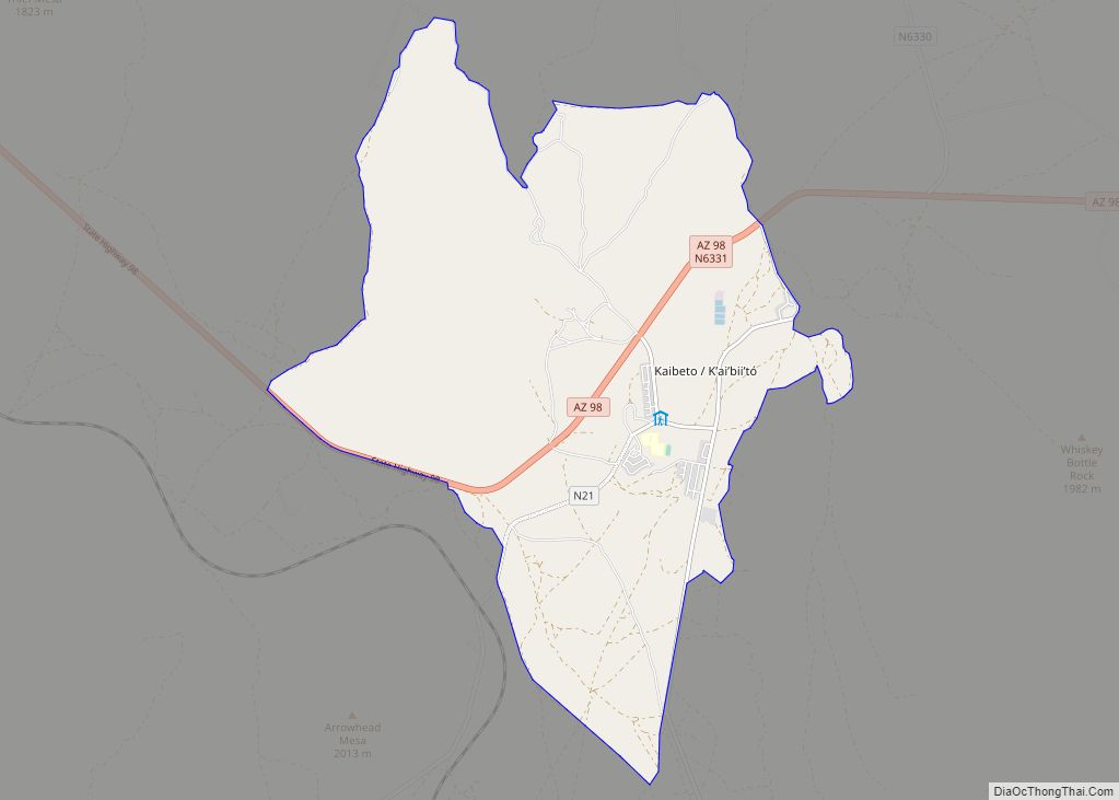
Online Interactive Map
Click on ![]() to view map in "full screen" mode.
to view map in "full screen" mode.
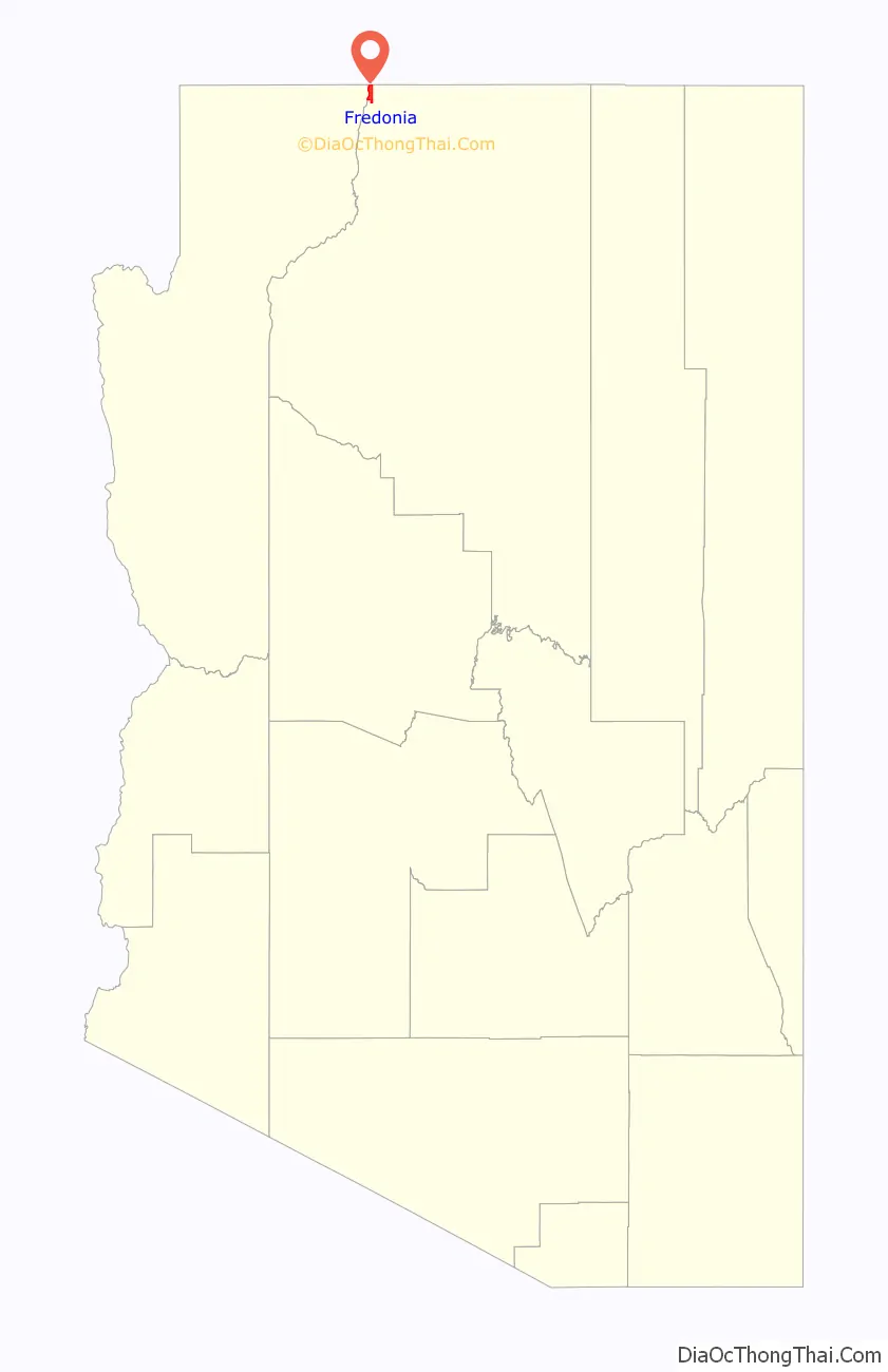
Fredonia location map. Where is Fredonia town?

History
Fredonia was laid out in 1886. Its name is said to mean the “land of free women.”
The town’s cemetery has graves dating from the 1880s.
The town suffered economically from the re-routing of U.S. 89 in 1960. While the highway previously went through Fredonia, it was re-routed north of the Glen Canyon dam, and the town lost several businesses due to a drop in traffic.
Senator Barry Goldwater gave the commencement at Fredonia High School in 1964.
Kaibab Forest Products was the major industry in town until 1995, when it closed and laid off 200 workers. It had employed up to 400 workers in 1988. The Arizona One mine is also located nearby.
Fredonia Road Map

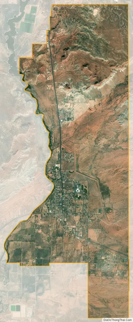
Fredonia city Satellite Map
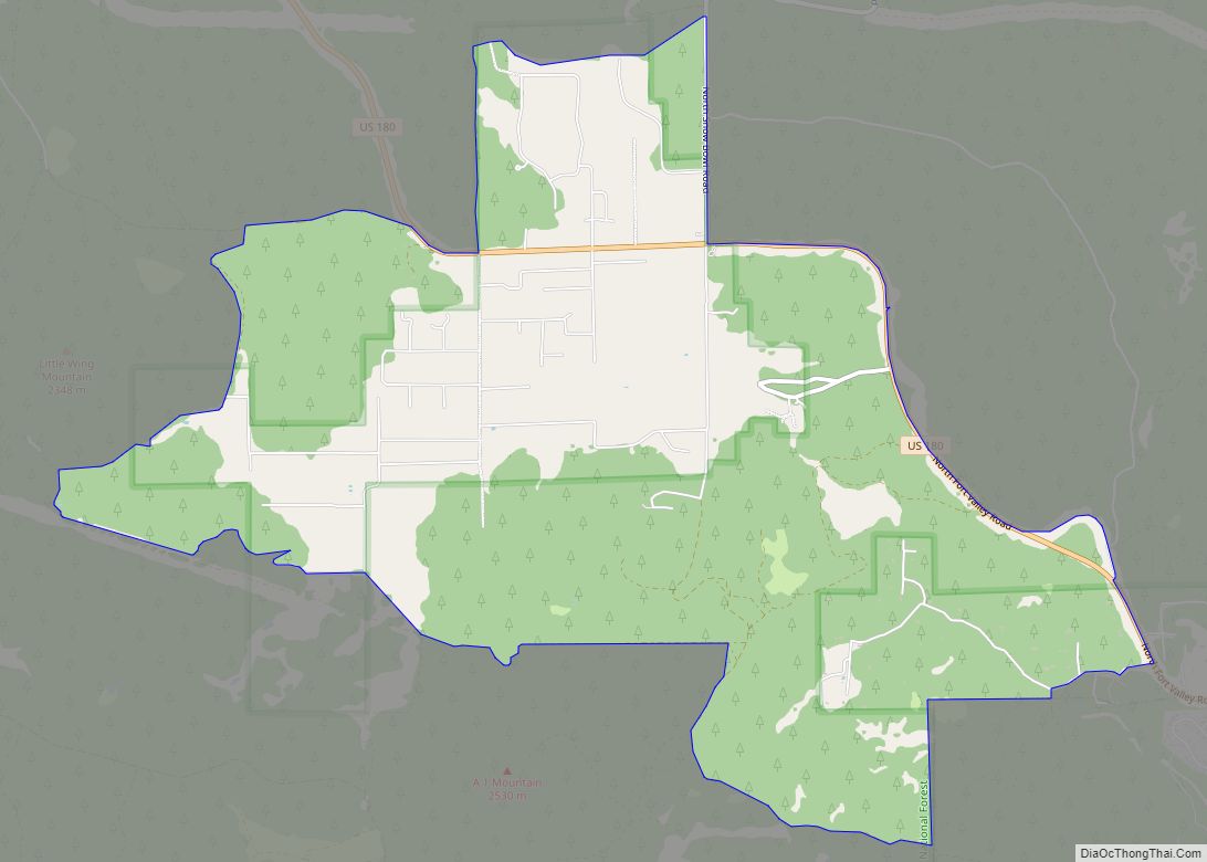
Geography
Fredonia is located at 36°56′58″N 112°31′18″W / 36.94944°N 112.52167°W / 36.94944; -112.52167 (36.949522, -112.521700), at 4,680 feet (1,430 m) in elevation. It is in the Arizona Strip, the portion of Arizona lying north of the Colorado River, and is within a few miles of the Utah border. According to the United States Census Bureau, the town has a total area of 7.4 square miles (19 km), all land.
Fredonia is also located within a short distance of other national parks, national monuments, state parks, and scenic outdoor recreation spots.
See also
Map of Arizona State and its subdivision: Map of other states:- Alabama
- Alaska
- Arizona
- Arkansas
- California
- Colorado
- Connecticut
- Delaware
- District of Columbia
- Florida
- Georgia
- Hawaii
- Idaho
- Illinois
- Indiana
- Iowa
- Kansas
- Kentucky
- Louisiana
- Maine
- Maryland
- Massachusetts
- Michigan
- Minnesota
- Mississippi
- Missouri
- Montana
- Nebraska
- Nevada
- New Hampshire
- New Jersey
- New Mexico
- New York
- North Carolina
- North Dakota
- Ohio
- Oklahoma
- Oregon
- Pennsylvania
- Rhode Island
- South Carolina
- South Dakota
- Tennessee
- Texas
- Utah
- Vermont
- Virginia
- Washington
- West Virginia
- Wisconsin
- Wyoming