| Name: | Flagstaff city |
|---|---|
| LSAD Code: | 25 |
| LSAD Description: | city (suffix) |
| State: | Arizona |
| County: | Coconino County |
| Incorporated: | 1928 |
| Elevation: | 6,910 ft (2,106 m) |
| Land Area: | 66.03 sq mi (171.02 km²) |
| Water Area: | 0.05 sq mi (0.14 km²) |
| Population Density: | 1,163.59/sq mi (449.26/km²) |
| Area code: | 928 |
| FIPS code: | 0423620 |
| Website: | flagstaff.az.gov |
Online Interactive Map
Click on ![]() to view map in "full screen" mode.
to view map in "full screen" mode.
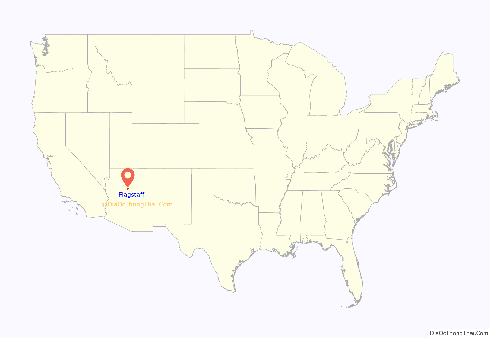
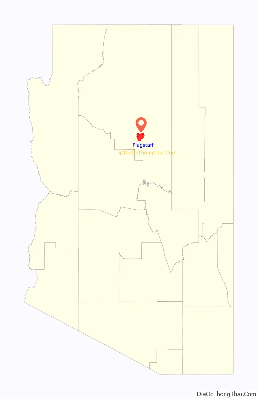
Flagstaff location map. Where is Flagstaff city?
History
Early history
The Sinagua people were a pre-Columbian culture that occupied a large area in Arizona between circa 500 and 1425 CE. The Northern Sinagua were living in the pine forests of northern Arizona before moving into the area that is now Flagstaff about 700 CE. The 1064 and 1066 eruptions of Sunset Crater covered the area in ash, which greatly enriched the soil for farming; this also caused a population growth in the area, with Ancestral Puebloans and Cohonina people also moving to the Wupatki site near the city.
The Northern Sinagua had various cultural phases, including Sunset Crater, the Rio de Flag (leaving the Picture Canyon site), Angell and Winona, Padre Canyon, Elden Pueblo, Turkey Hill Pueblo, Clear Creek, and Walnut Canyon. The Sinagua peoples left the area by the early 15th century, likely moving north and later becoming the Hopi. The San Francisco Peaks, which overlook Flagstaff, are a sacred site in Hopi culture.
Until western expansion in the 1860s, the Yavapai, specifically the Wi:pukba (Northeastern Yavapai), occupied the land up to the San Francisco Peaks. The Yavapai land in the area saw overlap with the land of the Northern Tonto Apache that stretched across the San Francisco Peaks to the Little Colorado River. Of the Northern Tonto Apache, two tribes lived within the area of present-day Flagstaff: the Oak Creek band and the Mormon Lake band. The Mormon Lake band were centered around Flagstaff and were exclusively hunter-gatherers, traveling around places like the foot of the San Francisco Peaks, at Mount Elden, Lake Mary, Stoneman Lake, and Padre Canyon.
19th century
The area of Flagstaff had a wagon road to California in the 1800s, constructed by Edward Fitzgerald Beale’s men. The first White (non-Native) settlement in the area was established by Edward Whipple, who opened a saloon on the wagon road in 1871. The first permanent settlement came in 1876, when Thomas F. McMillan built a cabin just north of the present-day main town. McMillan was a key developer of Northern Arizona.
During the 1880s, Flagstaff began to grow, and by 1886, Flagstaff was the largest city on the railroad line between Albuquerque and the West Coast of the United States. In 1888, McMillan purchased an unfinished building that sits at the present-day intersection of Leroux Street and Route 66/Santa Fe Avenue, turning it into a bank and hotel known as the Bank Hotel. Coconino County was created in 1891, and Flagstaff was chosen as its county seat over nearby Williams.
In 1894, A. E. Douglass recommended Flagstaff to Percival Lowell as the site for the Lowell Observatory, where it was built on Mars Hill. Flagstaff also became incorporated as a town in 1894. The city grew rapidly, primarily due to its location along the east–west transcontinental railroad line in the United States. In the 1890s, the Arizona Lumber and Timber Company was founded by the Riordan brothers to process timber. Michael and Tim Riordan worked in Flagstaff, and introduced electricity to the town for this purpose. The Riordan brothers established the first library in Flagstaff. The CO Bar Ranch was opened in about 1886 by the Babbitt brothers for cattle. The Babbitt family would be very influential in northern Arizona for decades. In 1899, the Northern Arizona Normal School was established; it was renamed to Northern Arizona University (NAU) in 1966.
On January 1, 1900, John Weatherford opened the Weatherford Hotel in Flagstaff. Weatherford opened the town’s first movie theater in 1911; it collapsed under heavy snowfall a few years later, but he soon replaced it with the Orpheum Theater. The Weatherford Hotel and Orpheum Theater are still in use today.
1912–1969
The state of Arizona was admitted to the Union in 1912. Flagstaff saw its first tourism boom in the early years of the 1900s, becoming known as the City of Seven Wonders, as the “Seven Wonders” of the wider Flagstaff area – listed as the Coconino National Forest, Grand Canyon, Oak Creek Canyon, San Francisco Peaks, Sunset Crater, Walnut Canyon, and Wupatki National Monument – were more widely known.
In 1926, Route 66 was completed and ran through Flagstaff; the Babbitts and Riordans had staunchly supported it for the town. The railroad, which became the Santa Fe Railroad, had largely controlled Flagstaff until this point. The Santa Fe Railroad opened a new depot in Flagstaff in 1926, to combat Route 66. As part of the celebrations, Front Street was renamed Santa Fe Avenue. The people of Flagstaff collectively funded the Hotel Monte Vista, which opened on January 1, 1927, preparing for the next tourism boom. Flagstaff was then incorporated as a city in 1928, with over 3,000 residents, and in 1929, the city’s first motel, the Motel Du Beau, was built at the intersection of Beaver Street and Phoenix Avenue. Flagstaff became a popular tourist stop along Route 66, particularly due to its proximity to the natural wonders. In the last years of the 1920s, tourism took over from traditional industries.
During the Great Depression, Route 66 brought unemployed workers heading to California, known as “auto nomads” in Flagstaff, who became unpopular as they could not afford to buy gas or food, financially damaging the city by taxing its resources and not contributing to the economy. Flagstaff had also been highlighted on the map by Clyde Tombaugh’s 1930 discovery of Pluto from the Lowell Observatory. However, the importance of Route 66 to cross-country travel, and thus to Arizona’s interests on a national level, did mean that it received a large share of state funding through the Depression, with highway maintenance and unemployment acts providing over $1 million of funding in May 1933. In 1935, many residents had enough disposable income to remodel their homes or build new ones.
In 1955, the United States Naval Observatory Flagstaff Station was established. Through the 1950s the city conducted the Urban Renewal Project, improving housing quality in the Southside neighborhood that was largely populated by people of Spanish, Basque, and Mexican heritage. Flagstaff grew and prospered through the 1960s. During the Apollo program in the 1960s, the Lowell Observatory Clark Telescope was used by the United States Geological Survey (USGS) to map the Moon for the lunar expeditions, enabling the mission planners to choose a safe landing site for the lunar modules.
1970s–present
As the baby boomer generation began to start their own families in the 1970s and 1980s, many moved to Flagstaff based on its small-town feel, and the population began to grow again; there were not enough jobs to support the many educated individuals moving to the city. The city did not expand its infrastructure downtown despite the growing population, causing problems. Several historic buildings from the 1800s were also destroyed for construction of new ones, or leveled completely. Downtown Flagstaff became an uninviting place, and many businesses started to move out of the area, causing an economic and social decline.
During the 1990s, the city redeveloped. Store owners in downtown supported the Main Street programs of preservation-based revitalization, and in 1992, the city hired a new manager to improve the area: a different mix of shops and restaurants opened up to take advantage of the area’s historical appeal. Heritage Square was built as the center of the revitalized downtown, the local Flagstaff Pulliam Airport began running more flights to Phoenix, and the school district was expanded with a third high school, Sinagua High School.
On October 24, 2001, Flagstaff was recognized by the International Dark-Sky Association as the world’s first “International Dark-Sky City”.
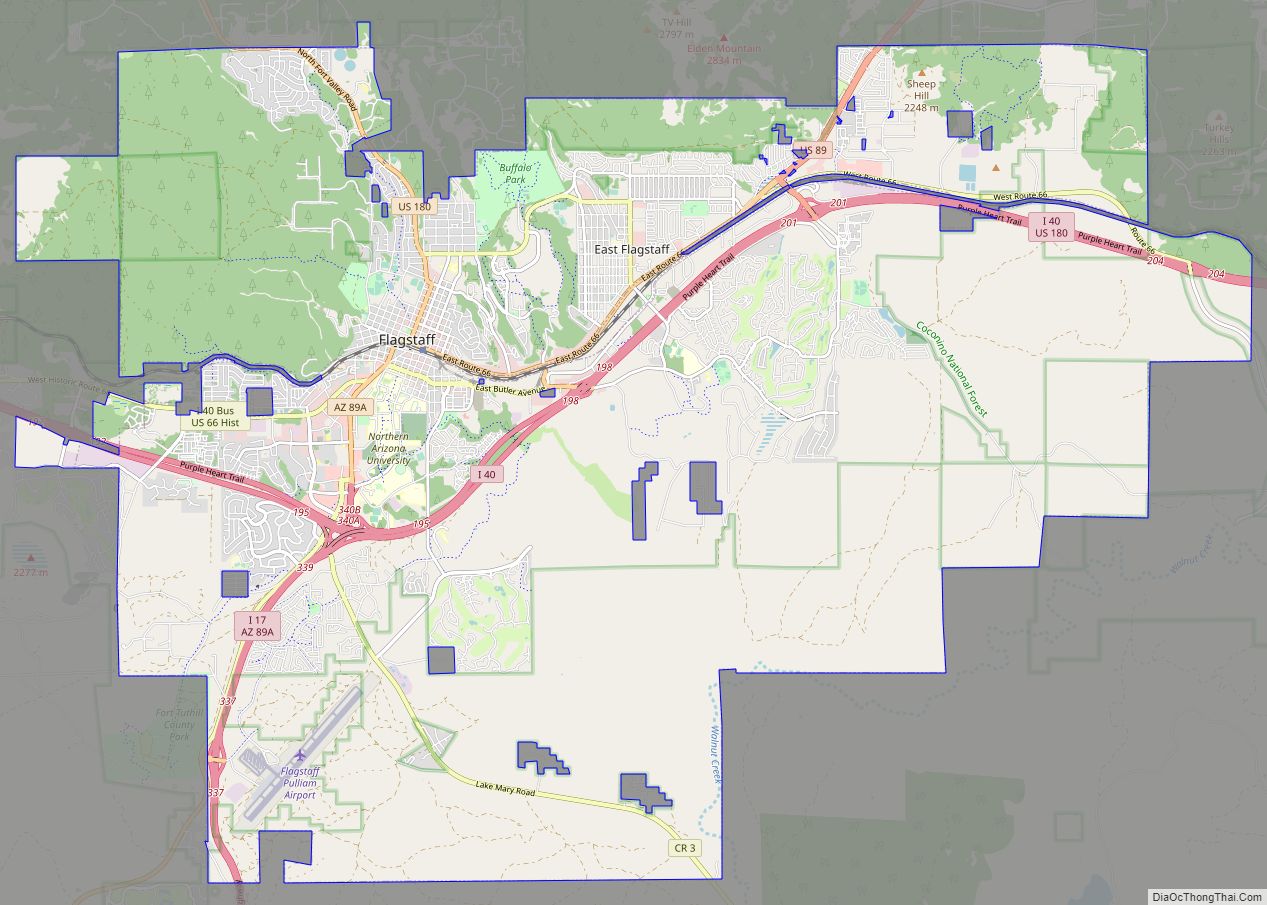
Flagstaff Road Map
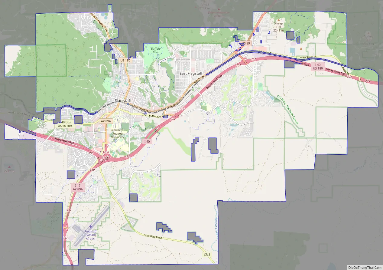
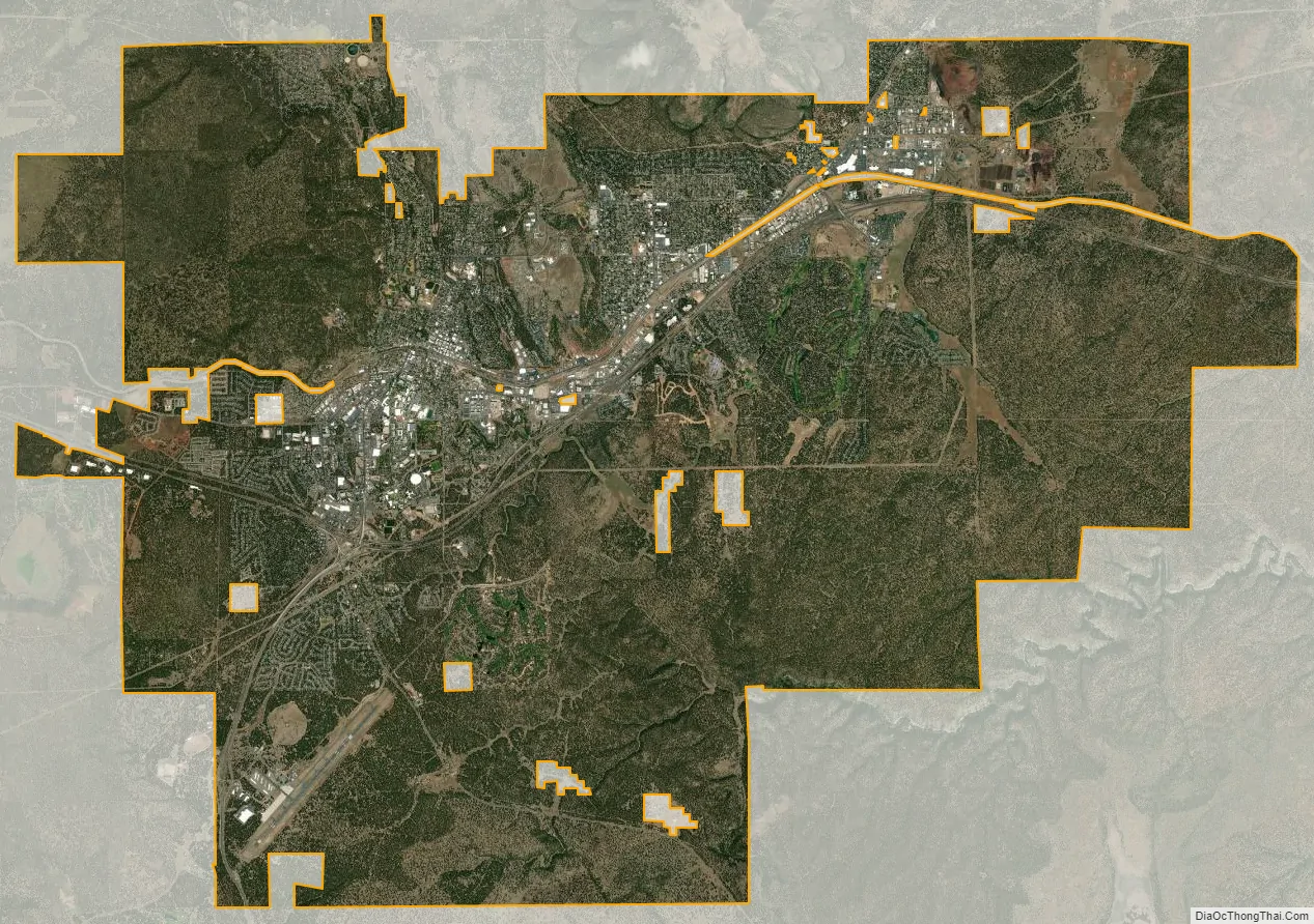
Flagstaff city Satellite Map
Geography
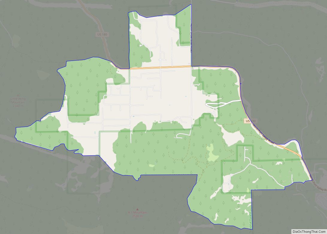
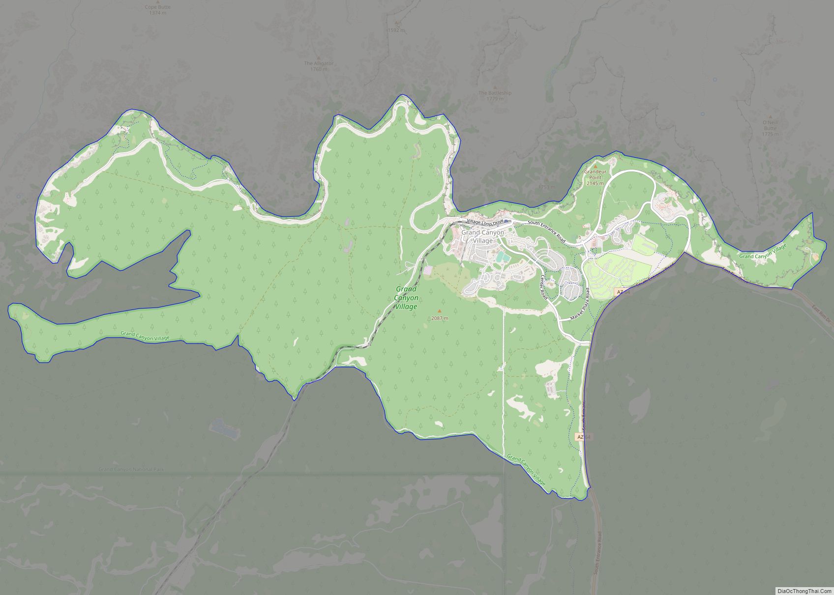
Flagstaff, the county seat of Coconino County. According to the United States Census Bureau, the city has a total area of 63.9 square miles (165.5 km), of which only 0.03 square miles (0.08 km) (0.08%) is water. Flagstaff lies at approximately 7,000 feet (2,130 m) elevation, and is surrounded by the largest contiguous ponderosa pine forest in North America. It is in a mountainous area, and lies along the Rio de Flag watercourse. It is about 130 miles (210 km) north of the State capital, Phoenix.
The geology of the area is in line with that of the Colorado Plateau on which it lies, with the Moenkopi red sandstone abundant in the city also used to build many of the distinctive buildings forming its cityscape. The cityscape of Flagstaff is its historic downtown area centered on Heritage Square, with the historic nature of its restored buildings and local theme iconic to the city and representative of its culture. Flagstaff is one of the United States’ sunniest and snowiest cities, with a variable “semi-arid” climate and a monsoon season in summer.
The San Francisco Peaks are a main aspect of Flagstaff’s local geography and can be seen from everywhere in the city. Humphreys Peak is the highest point in Arizona at 12,637 feet (3,852 m); from trails up this mountain, the entire State can be seen on a clear day. Several trails around the peaks provide views of the Grand Canyon. While the most popular access point is Arizona Snowbowl (southwest face), the peaks can also be approached from the north and east. The peaks are about 10 miles (16 km) northwest of downtown Flagstaff, with the Snowbowl resort just southwest of Humphreys Peak. The wildlife of the peaks include mule deer, elk, turkey vultures, and black bears, all visible from public trails.
Geology and topography
Flagstaff lies on the southern edge of the Colorado Plateau, and is largely limestone under San Francisco volcanic field. The oldest rock types of the area are part of North America’s original crust, Precambrian granite and schist from 1.7 to 1.8 billion years ago. On top of this is Paleozoic sandstone, limestone, shale and siltstone deposited on what was then (544 to 248 million years ago) different surfaces, including a shallow seabed, muddy land, and sandy desert. The rock layers from this period are (bottom to top): Tapeats Sandstone, Bright Angel Shale and Muav Limestone, Martin Formation, Redwall Limestone, Supai Group, Coconino Sandstone, Toroweap Formation, and Kaibab Limestone. The last three of these are still exposed. On top of the Paleozoic rock is Mesozoic Moenkopi Formation, from 248 to 65 million years ago. Other Mesozoic layers formed on top of this, but were eroded away. In the Flagstaff area, layers of rock from the Paleozoic and Mesozoic eras accumulated up to 10,000 feet (3,000 m) deep, but most of this was eroded. A soft basalt layer covers some of the rock at the surface.
Moenkopi Formation red sandstone is a distinctive feature of Flagstaff, as it was used as a building material from the 1880s because of its fire retardant properties. The source used for quarrying most of this rock was a deposit 1 mile east of the town, which fell under the control of Charles Begg in 1887, who then began selling the stone across the southwest – after he made a successful sale in California that expanded the business, he was replaced in 1888 by a master quarryman. While it was used as building material across the West, some of Flagstaff’s most prominent buildings are famous for the stone, including the Bank Hotel, Weatherford Hotel, Babbitt Brothers Building, Coconino County Courthouse, and various NAU buildings, including Old Main.
In the Laramide orogeny, which began about 65–75 million years ago, the Western United States underwent stress in rock formation; in the Four Corners region this pushed up the preexisting layers and ultimately formed the Colorado Plateau (and the Rocky Mountains). Around Flagstaff more specifically, this process deformed flat rock layers into folds, and allowed surface rivers to cut deep canyons in the younger rock layers. From about 25 million years ago, more faults were broken again in Flagstaff, and volcanic activity began about 6 million years ago with magma flowing up these faults to create lava flows. Eruptions occurred between 3 million and 1,000 years ago, affecting the Paleozoic and Mesozoic rocks. The city’s Mount Elden is a lava dome made of dacite, Sunset Crater is the youngest feature of the San Francisco volcanic field and formed in the last 1,000 years by an explosive eruption, while S P Crater was formed between 75,000 and 70,000 years ago by piles of lapilli and volcanic bombs spouting from a lava lake.
In the 1960s, the geology and topography of the Flagstaff area, including formations like Meteor Crater, was seen as similar to environments that would be encountered on the Moon in terms of planetary geology. The Astrogeology Research Program was therefore moved to Flagstaff in 1962, with the program completing in 1963, to train astronauts.
Climate
Flagstaff’s climate type on the Köppen climate classification system is variously reported as a warm dry-summer Mediterranean climate (Csb), a Hemiboreal climate (Dsb and Dfb), and a cold semi-arid climate (BSk). It is consistently described as “semi-arid”. Flagstaff’s Köppen type is recorded as Dsb in the city center, with areas of BSk, Csb, Csa (hot-summer Mediterranean), Cwa (monsoon-influenced humid subtropical), Cwb (subtropical highland), Dwa (monsoon-influenced hot summer humid continental), Dwb (monsoon-influenced warm summer humid continental), and Dsa (Mediterranean-influenced hot summer humid continental) on the outskirts and bordering the city; it is mostly Dsb, BSk, and Csb.
The hottest temperature on record is 97 °F (36 °C) in July 1973. This is far below a normal summer day in the lowland areas of the states. The coldest temperature on record is −30 °F (−34 °C) in January 1937. Warm summer nights are very uncommon with the all-time record being 68 °F (20 °C) in July 2002 and a regular summer averages a very mild 59 °F (15 °C) for the warmest low. Cold daily maximums are occasional, but rarely severe. The record low high is 5 °F (−15 °C) from January 1963, but the mean for the coldest maximum is relatively close to freezing at 24 °F (−4 °C).
Northern Arizona experiences a summer monsoon season from July to September, with Flagstaff’s wettest months being July and August, and its driest being June, all in the summer; Mediterranean climates have wet season only in the winter. Mediterranean climate categorization does not consider snowfall. Semi-arid climates will receive 10–20 inches (250–510 mm) of annual rainfall, while Flagstaff experiences more.
Flagstaff’s hardiness zone is mostly 6a, with some areas 5b, meaning plants withstand temperatures down to −15 °F (−26 °C). It is in the Transition life zone; the concept of life zones was first observed in the Flagstaff area. Wind in Flagstaff typically blows southwesterly throughout the year, based on topographical features. The city’s climate data is observed from Flagstaff Pulliam Airport.
The city receives precipitation every year, with two distinct wet periods in the summer and winter; the summer monsoon season accounts for 34% of annual rainfall, with the winter producing 28%. The summer monsoon season, originating from the Mexican monsoon period, is also wetter than winter, with an average 7 inches (180 mm) compared to the winter’s 6 inches (150 mm). Before the summer monsoon each year there is a dry period in May and June. Long-term average precipitation is 21.6 inches (550 mm) annually, with much heavier rainfall attributed to El Niño events. Comparatively, La Niña events have caused below-average rainfall.
Since 1996 the city has been experiencing its driest period, known as the Early-21st Century Drought. As of 2007, Richard Hereford of USGS speculated that the effects of the drought, predicted to last until the late 2020s, may be severe because of Flagstaff’s growing population and global warming. The summer wet season is more reliable and consistent than other times of year, but due to the high temperatures of the area this rainfall is quickly lost to evaporation. During the Early-21st Century Drought, rainfall has been consistently below average in all but the summer season, with temperature averages for all but the summer (which has remained consistent) also increasing.
Equally, snowfall has been lower during the extended dry period, though the city set a new record for its highest daily snowfall on February 21, 2019, with 35.9 inches (910 mm) and was still ranked as the United States’ third-snowiest city in 2020 (based on 2018–19 National Oceanic and Atmospheric Administration data). Flagstaff has consistently been among the snowiest cities in the United States, and snow and winter culture is argued by Michael Weeks to be a large part of Flagstaff’s identity. The Arizona Snowbowl is a major attraction, though it has had to make artificial snow during warmer seasons, and the city tried to launch a bid to be the host city of the 1960 Winter Olympics. The maximum daily snow cover was 83 inches (210 cm) on December 20, 1967, although the mean maximum for a full winter is only 20 inches (510 mm). However, due to the infrequent and scattered nature of the snowstorms, persistent snowpack into spring is rare. One notable exception occurred during the severe winter of 1915–16, when successive Pacific storms buried the city under over 70 inches (178 cm) of snow, and some residents were snowbound in their homes for several days.
Though one of the least-sunny cities in Arizona, Flagstaff still ranks among the United States’ sunniest cities, having sunshine for an average 78% of the year. The city receives much more sunshine than other snowy cities, which are primarily in the north of the country.
There are four seasons in Flagstaff, with cool to cold winter temperatures averaging 45 °F (7 °C) and warm summer temperatures averaging 80 °F (27 °C), much cooler than much of Arizona; the average annual snowfall is 97 inches (250 cm). Spring begins in April with cool or comfortable weather. Sometimes, snow reappears in May, but the spring period is typically mild and dry, lasting until early June. The summer is warm, measured between days when freezing temperatures occur, beginning in June – the last freezing temperature generally in early June – and ending in September. Flagstaff’s summer will receive a few days of daytime temperatures above 90 °F (32 °C), with much cooler nighttime temperatures typically in the region of 40 °F (4 °C). Flagstaff’s summers are also notable for the monsoon season in July and August, when thunderstorms occur almost daily. Thunderstorm activity happens mostly during the daytime.
Freezing temperatures (below 32 °F (0 °C)) return towards the end of September, with the mild fall season having daytime temperatures around 60 °F (16 °C). With its many trees, leaves do change color in Flagstaff’s fall, with the change starting at the end of September and happening throughout October. Fall lasts only until the snow comes in November, with winter marked between periods of snowfall, typically from November until mid-April at the latest. Temperatures in winter are usually below freezing, going no higher than around 40 °F (4 °C) in the day, even in sunshine. Nights can regularly plummet below 20 °F (−7 °C). A combination of snow cover and high pressure occurring during winter months will cause the temperature to drop further, once reaching a record low of −30 °F (−34 °C). Flagstaff’s winter wet season is caused by Pacific storms and lasts from November through April.
Flora and fauna
Flagstaff is an area “of great ecological variation” due to its diverse habitat life zones. Tree species abound the area, which covers three arboreal life zones: Douglas fir and aspen forest, Ponderosa pine forest, and Pinyon-juniper woodland. It is at the heart of the Coconino National Forest. Within the Transition zone of the forest, including in the city, there are huge stands of ponderosa pine. Other species scattered among this region include Gambel oak, quaking aspen, and Rocky Mountain juniper trees.
The Coconino National Forest and Flagstaff are within the largest contiguous ponderosa pine forest in North America. Here, this tree type is formed as a climax forest, with groups of trees containing different ages spread among the forest. Some of the groups are only a few trees, some are acres large; other groups are even-aged. The irregularity of the tree groups leaves natural openings in the forest, allowing for other plants to thrive. A grass cover of Arizona fescue grows around the area and shrub exists, but there are few other tree species. As well as the Gambel oak, quaking aspen, and juniper trees, pinyons can be found among the pines. Some of the open forest space contains bunchgrass, and local animal species that roam on this include elk, mule deer, Merriam’s Turkey, and Abert’s squirrel.
The arboretum in Flagstaff has an extensive regional collection of the Penstemon genus and hosts an annual Penstemon Festival.
Coconino is also home to a variety of bird species, which is further diversified by species from desert climates south of the Mogollon Rim still mixing in the area. The nearby lakes also attract wildlife. Birds that live around or visit Flagstaff include the thick-billed kingbird, only documented in the area since 2016, the red-faced warbler, a Madrean species, and waterfowl including the Eurasian wigeon and American wigeon.
Cityscape
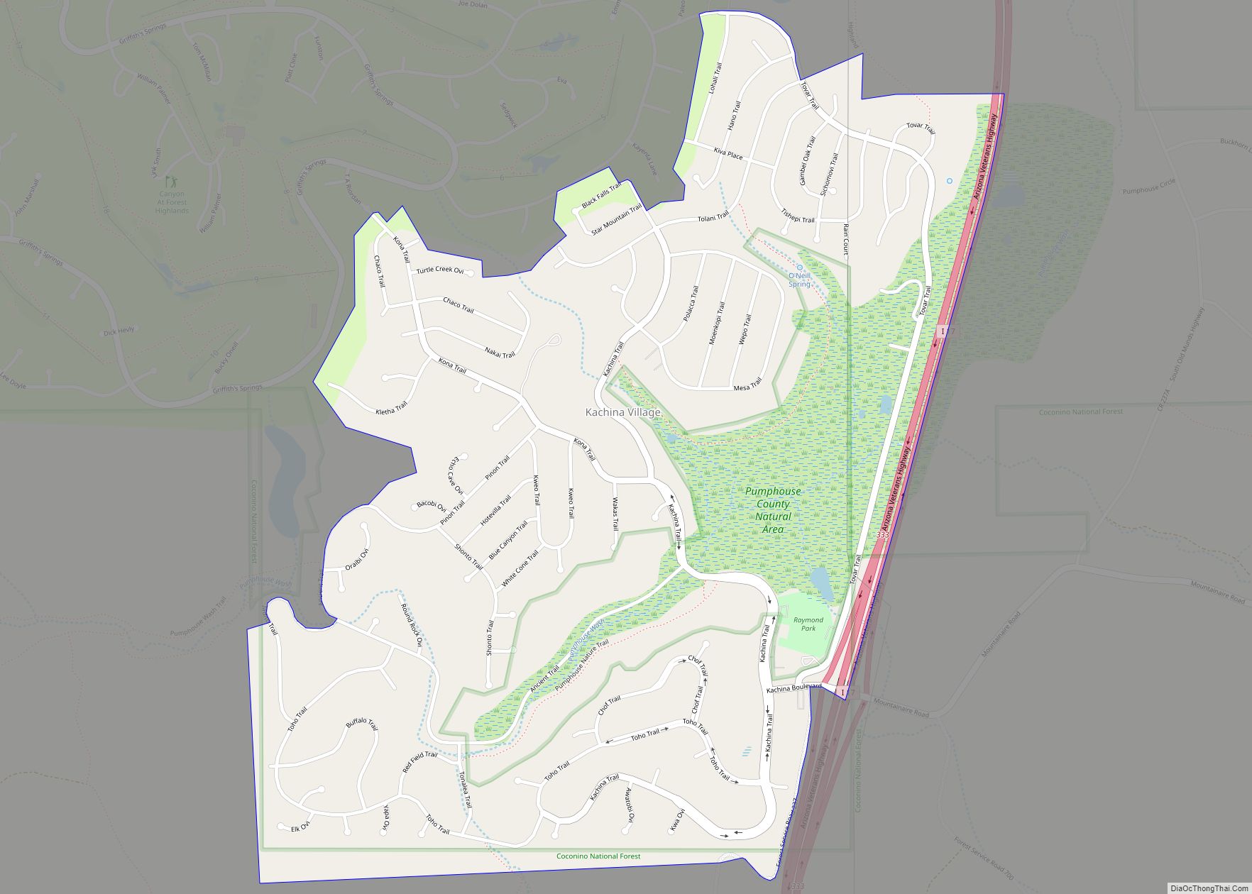
Flagstaff has a diverse cityscape and exists in distinct areas. Downtown Flagstaff is a “narrow and slender” area between the NAU campus at its south and the Museum of Northern Arizona at the north. Flagstaff is a smaller city, so its downtown is largely local and independent. The city’s mall is found in East Flagstaff, as is a Harkins movie theater and a country club and golf course. Residential properties in East Flagstaff are larger and more rural than other parts of the city. North West Flagstaff is directly north of downtown, and is where the Snowbowl and Museum of Northern Arizona are found. West Flagstaff encompasses the area south and west of downtown, including NAU and the Lake Mary neighborhood. It also covers the airport and Fort Tuthill (county park and the Pepsi Amphitheater), being bordered to the south by the urban areas of Kachina Village and Mountainaire. Outside of the city proper, these urban areas have a “mountain-town feel”. Flagstaff has an “urban forest park”, Buffalo Park, which sits on top of McMillan Mesa and used to be home to a zoo in the 1960s. Buffalo Park/McMillan Mesa bisects the city, separating East Flagstaff from the West and Downtown.
See also
Map of Arizona State and its subdivision: Map of other states:- Alabama
- Alaska
- Arizona
- Arkansas
- California
- Colorado
- Connecticut
- Delaware
- District of Columbia
- Florida
- Georgia
- Hawaii
- Idaho
- Illinois
- Indiana
- Iowa
- Kansas
- Kentucky
- Louisiana
- Maine
- Maryland
- Massachusetts
- Michigan
- Minnesota
- Mississippi
- Missouri
- Montana
- Nebraska
- Nevada
- New Hampshire
- New Jersey
- New Mexico
- New York
- North Carolina
- North Dakota
- Ohio
- Oklahoma
- Oregon
- Pennsylvania
- Rhode Island
- South Carolina
- South Dakota
- Tennessee
- Texas
- Utah
- Vermont
- Virginia
- Washington
- West Virginia
- Wisconsin
- Wyoming